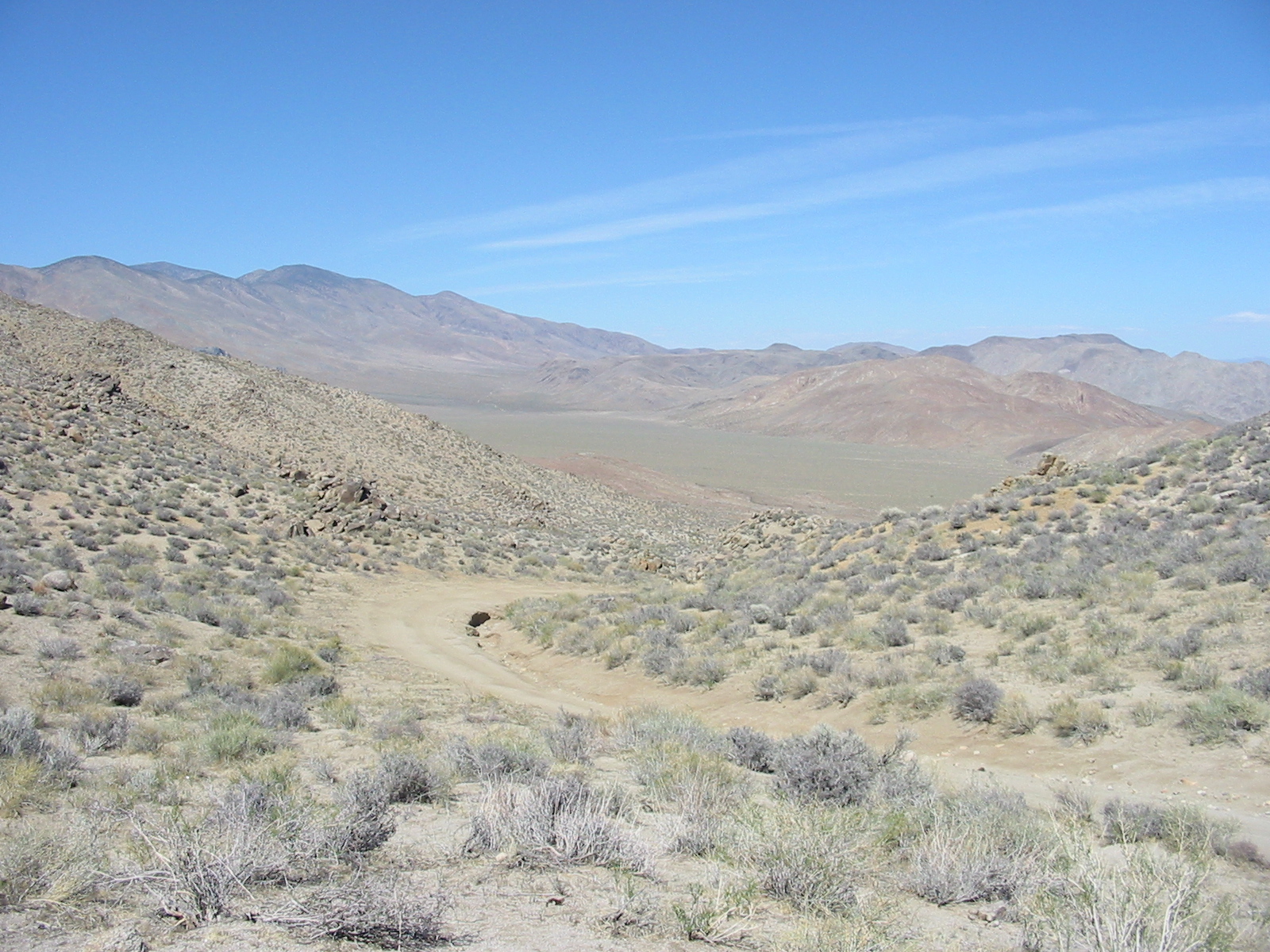
We drove a couple miles up Pleasant Canyon and camped for the night beside a flowing stream in this narrow canyon. We were most surprised by the amount of flowing water we found in the Death Valley area. During the night a wild burro came along to let us know that we had taken his spot. Temperature was cool up in the mountains, but we were shielded from the wind in the canyon.
.

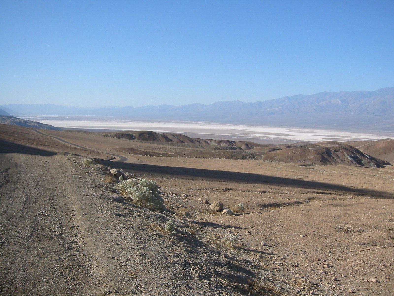
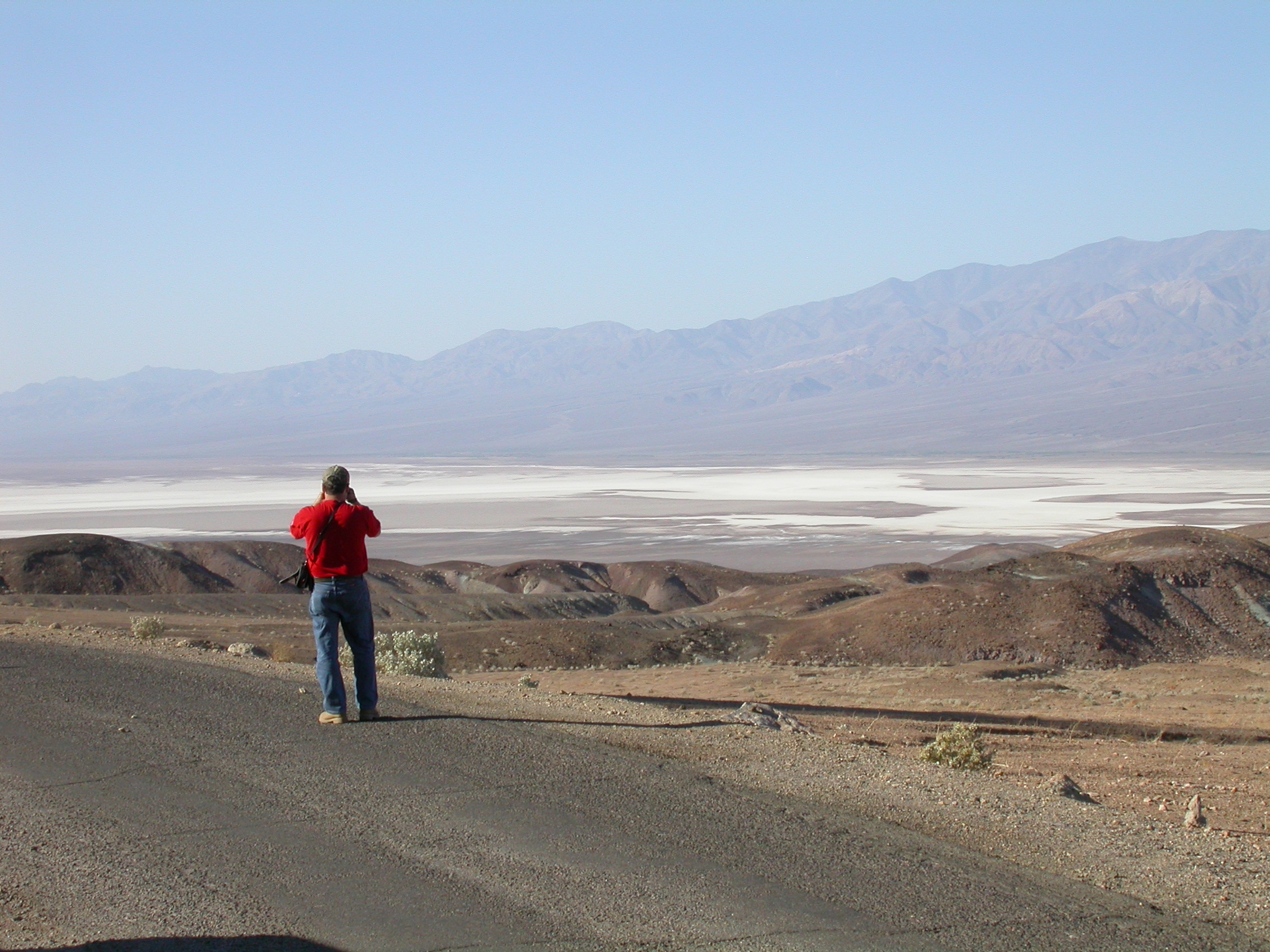
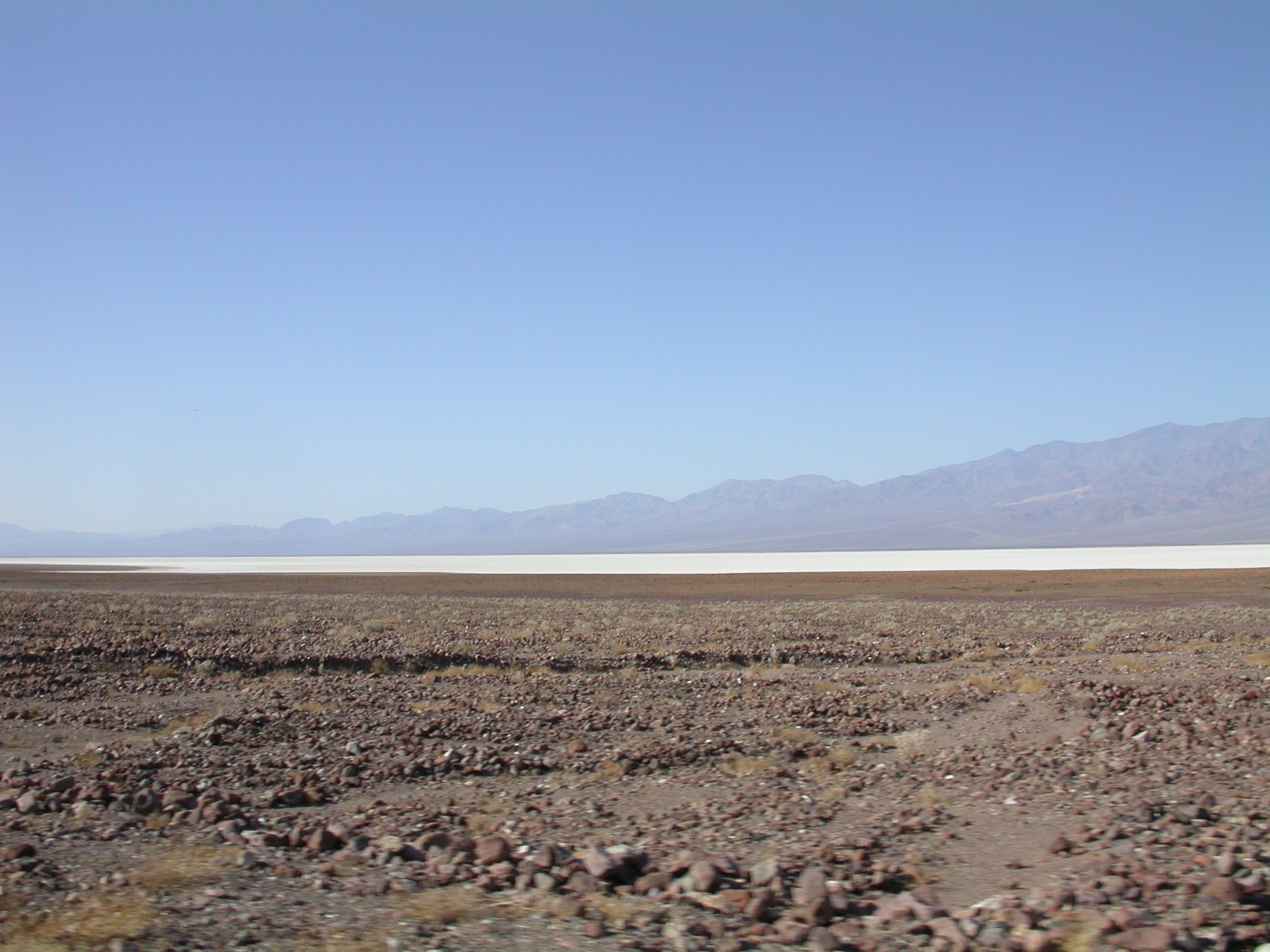
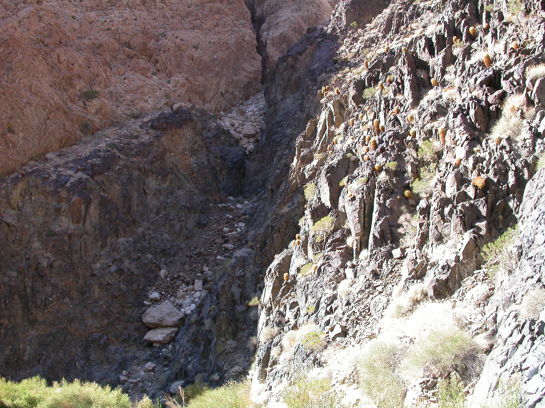
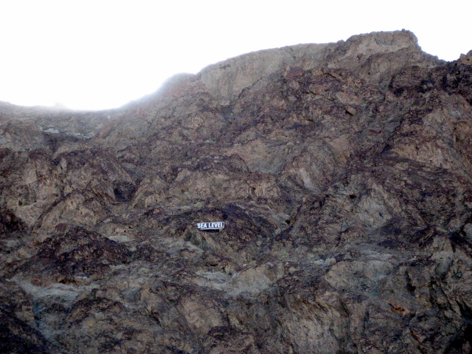
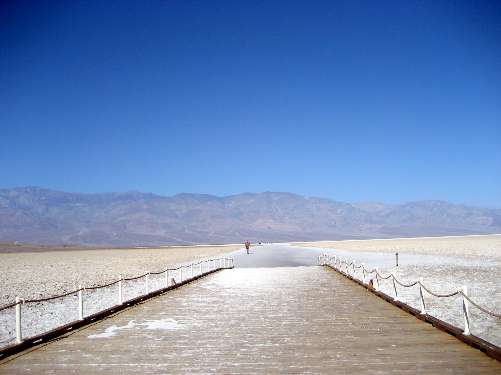
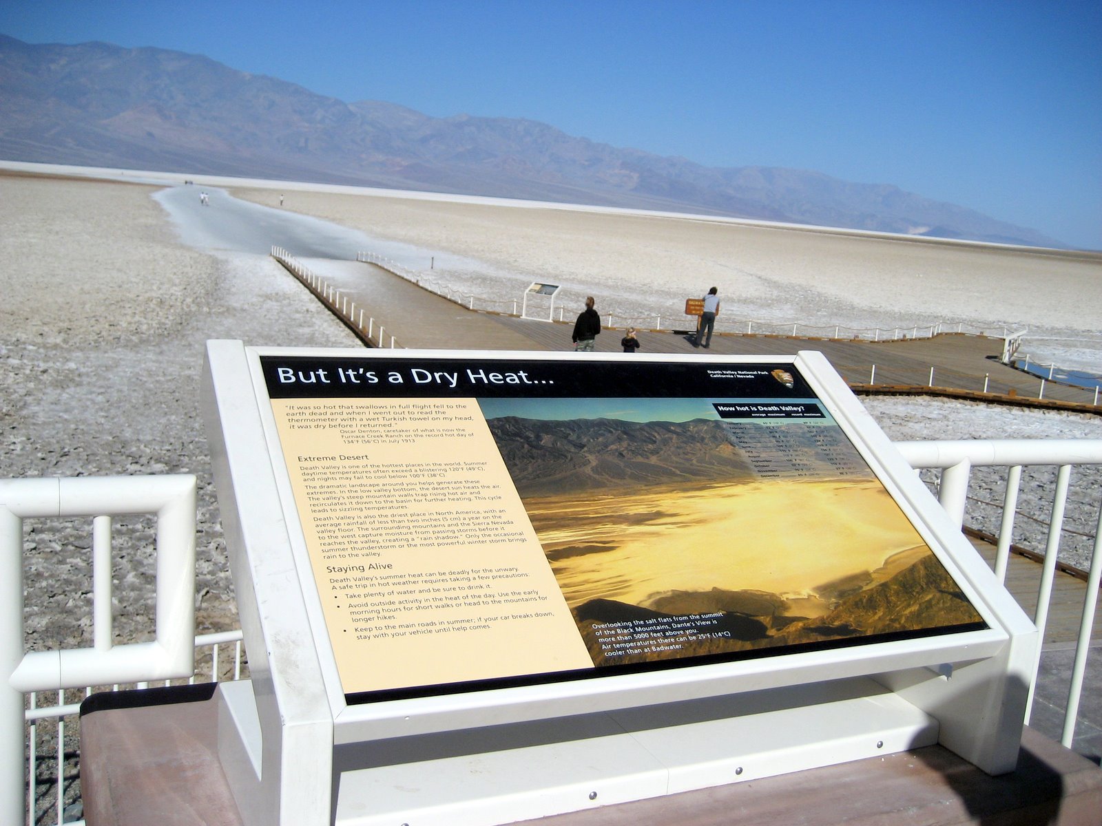
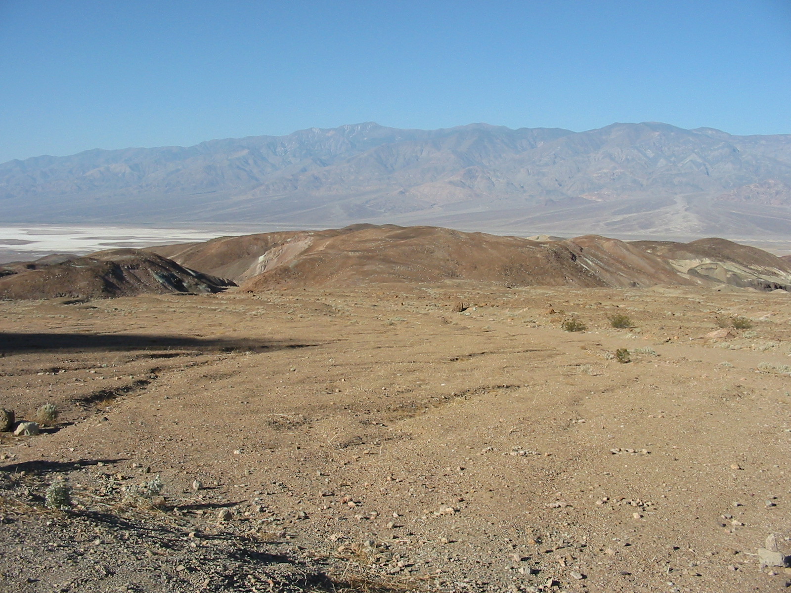
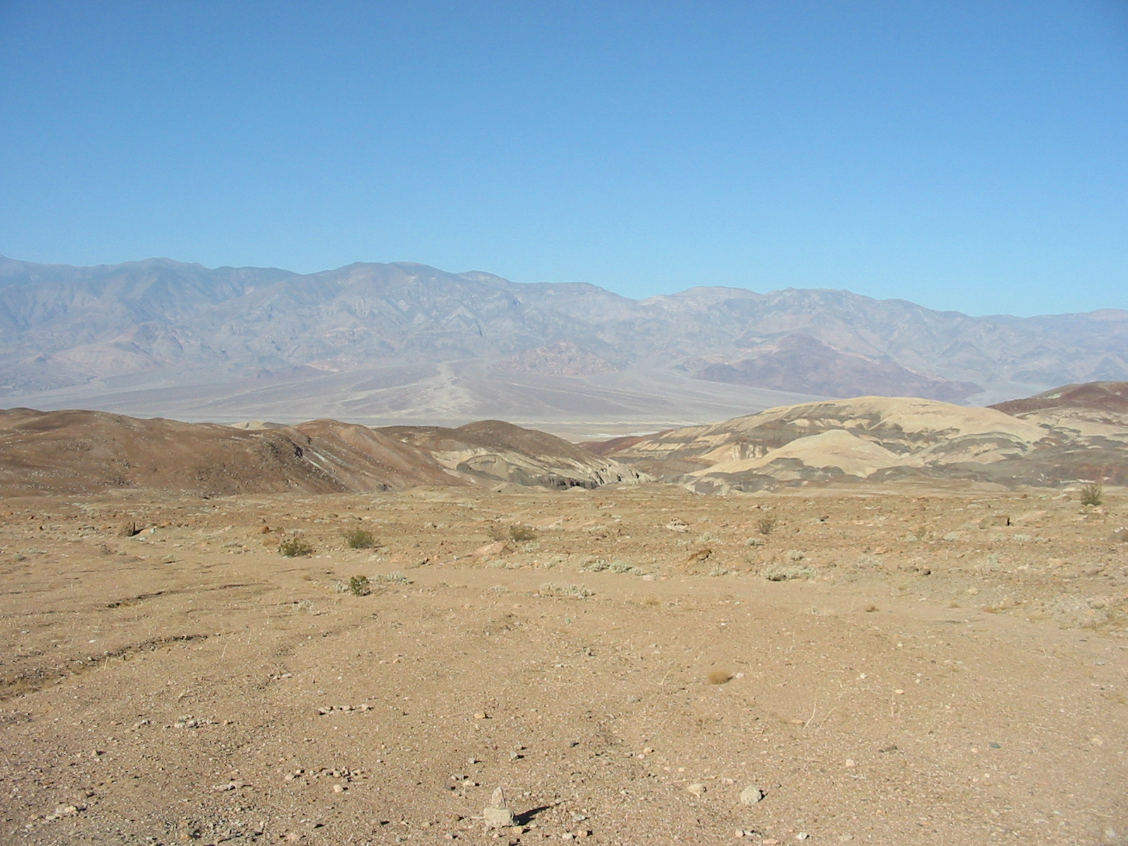
Looking up at sea level.
.
.
.
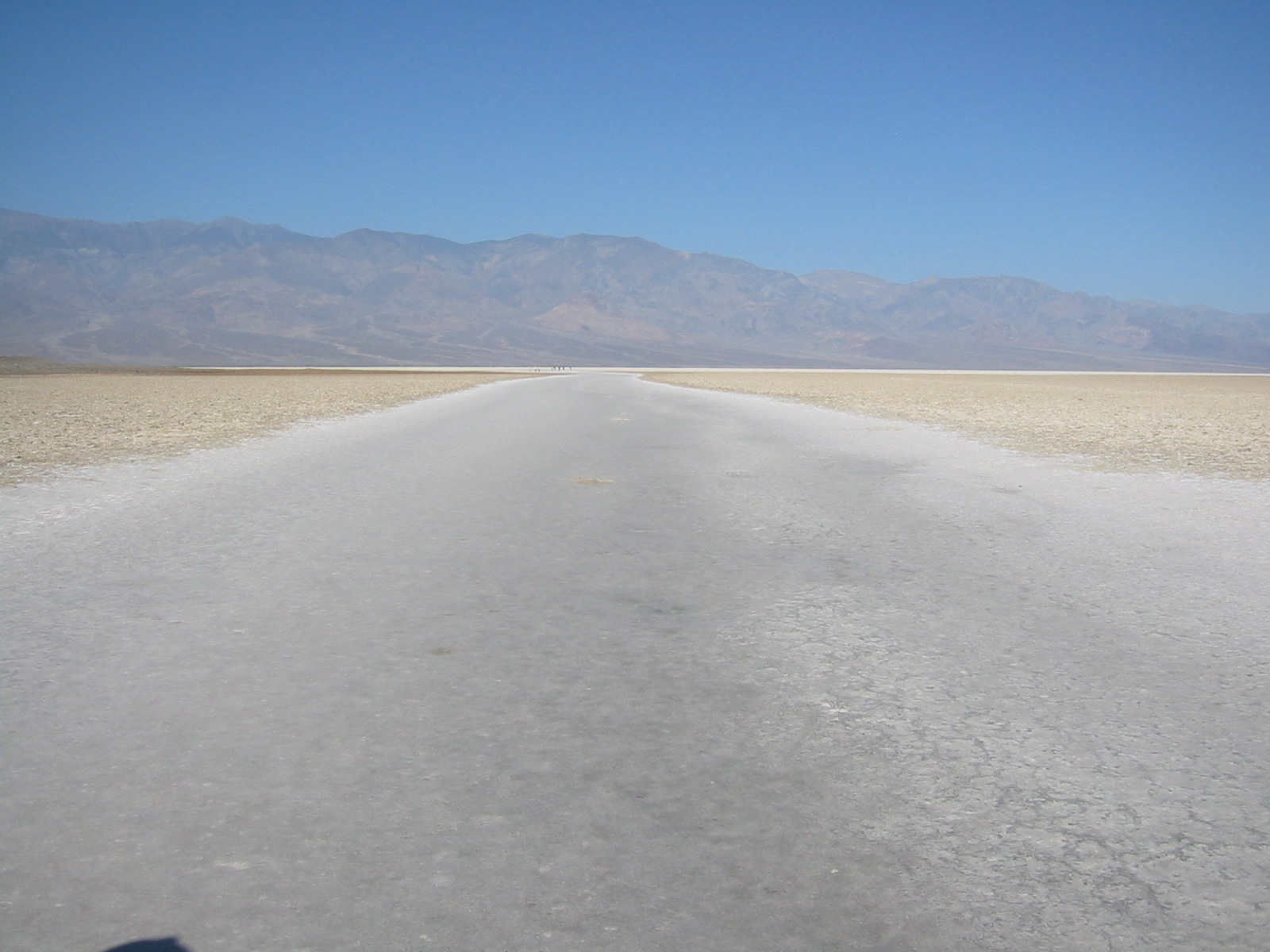
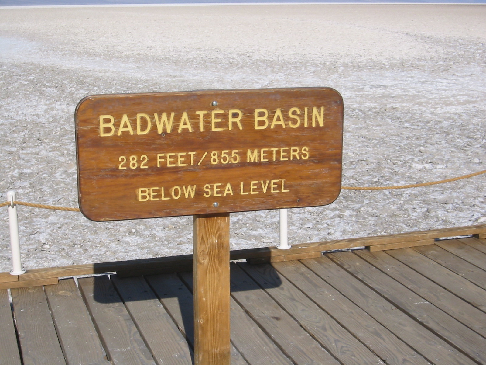
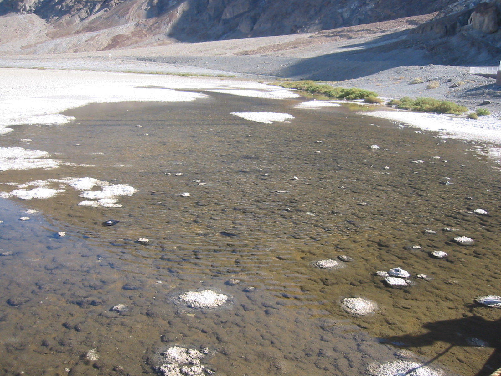
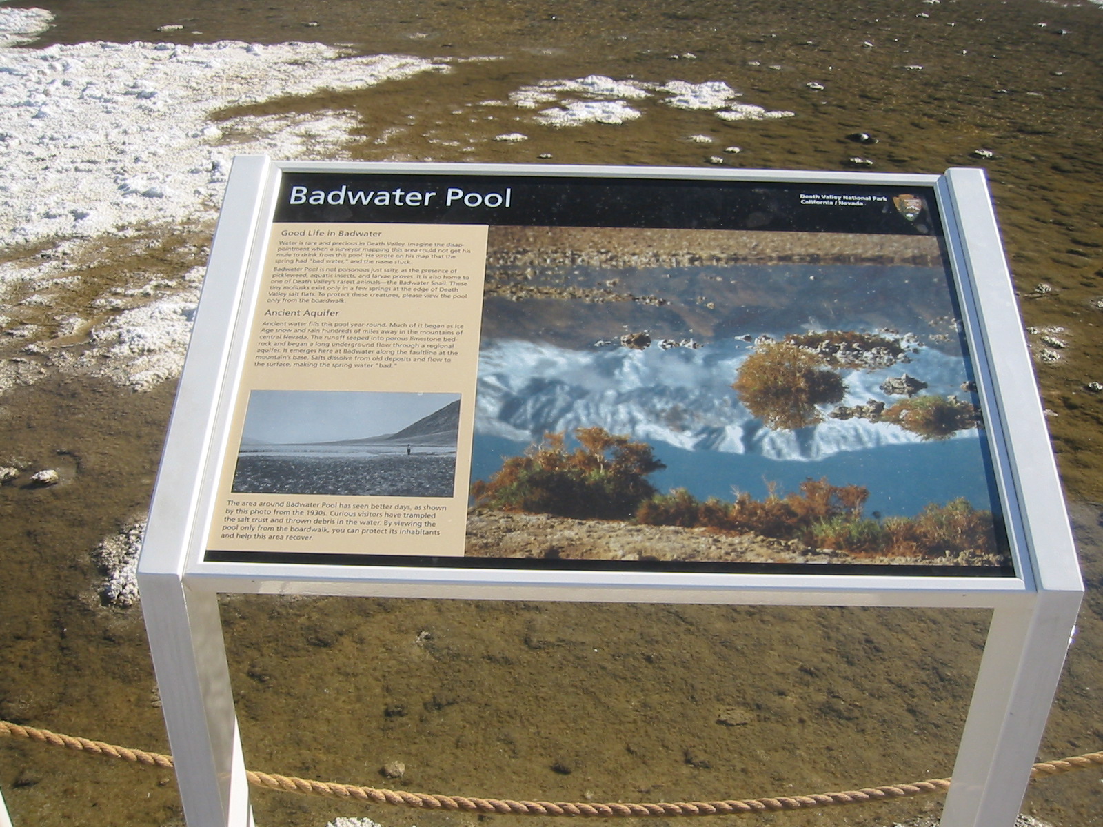
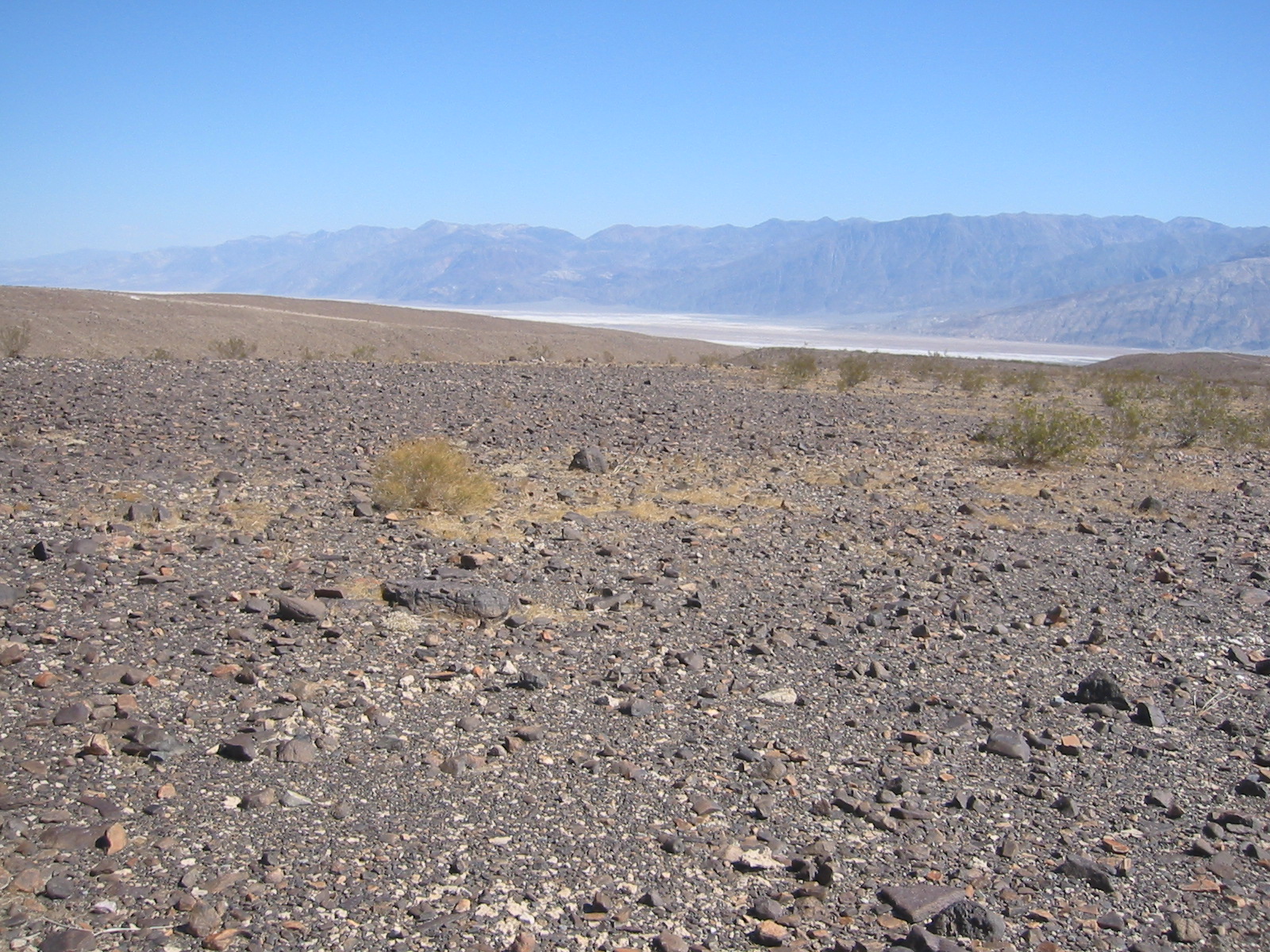
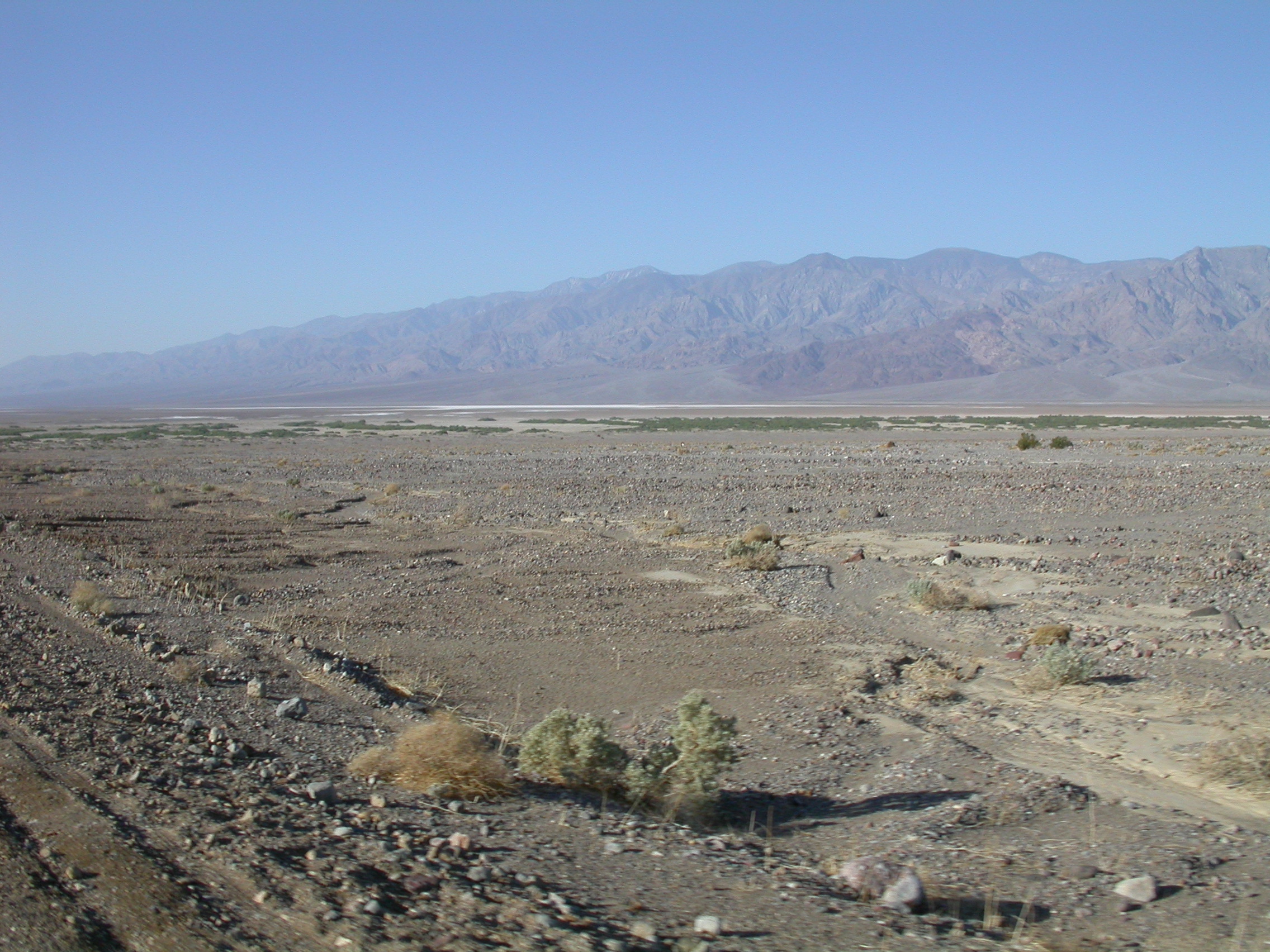
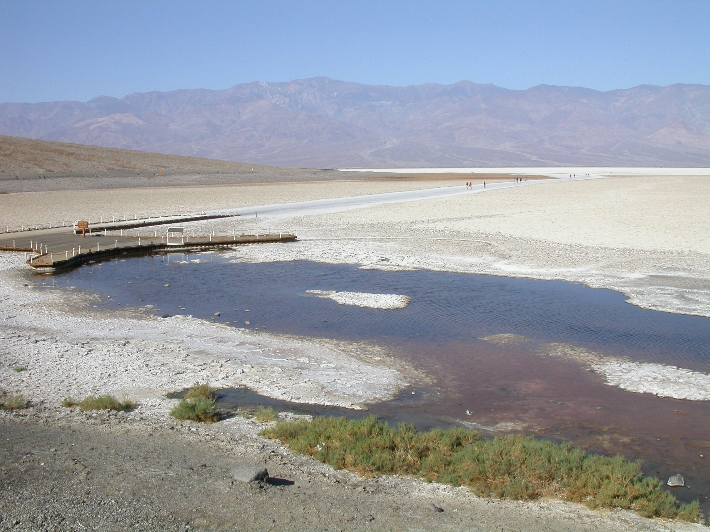
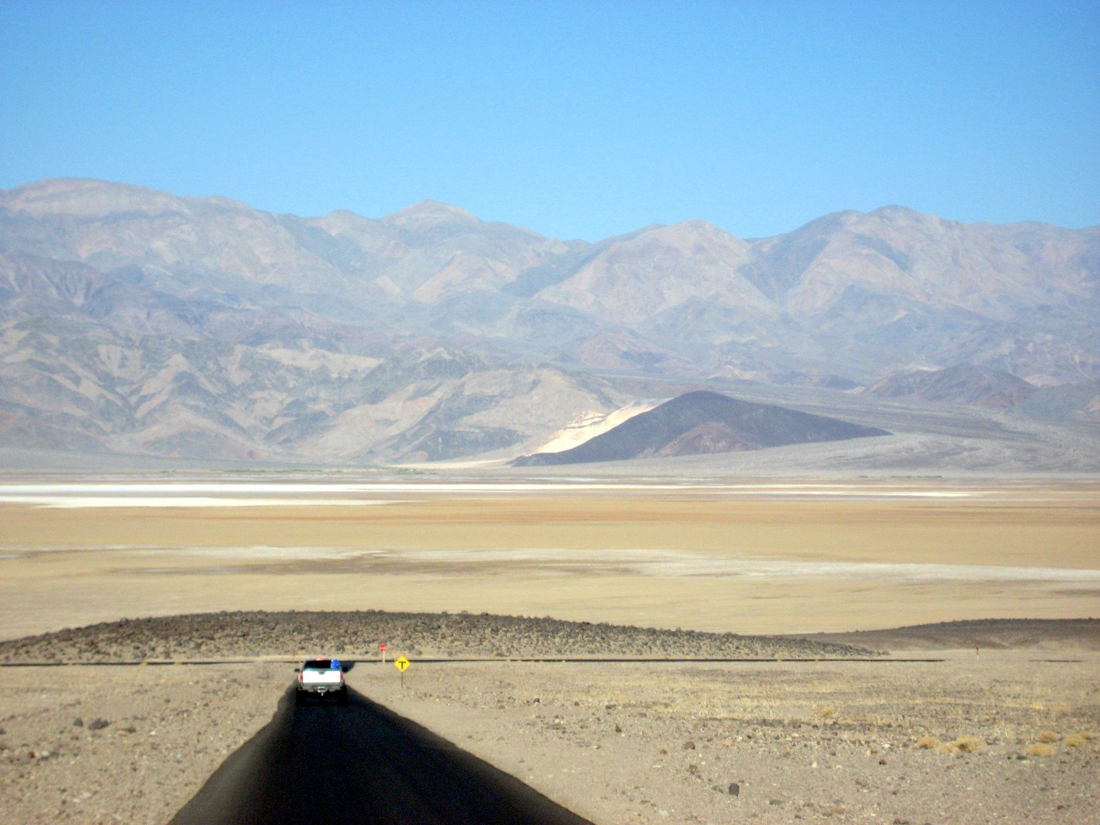
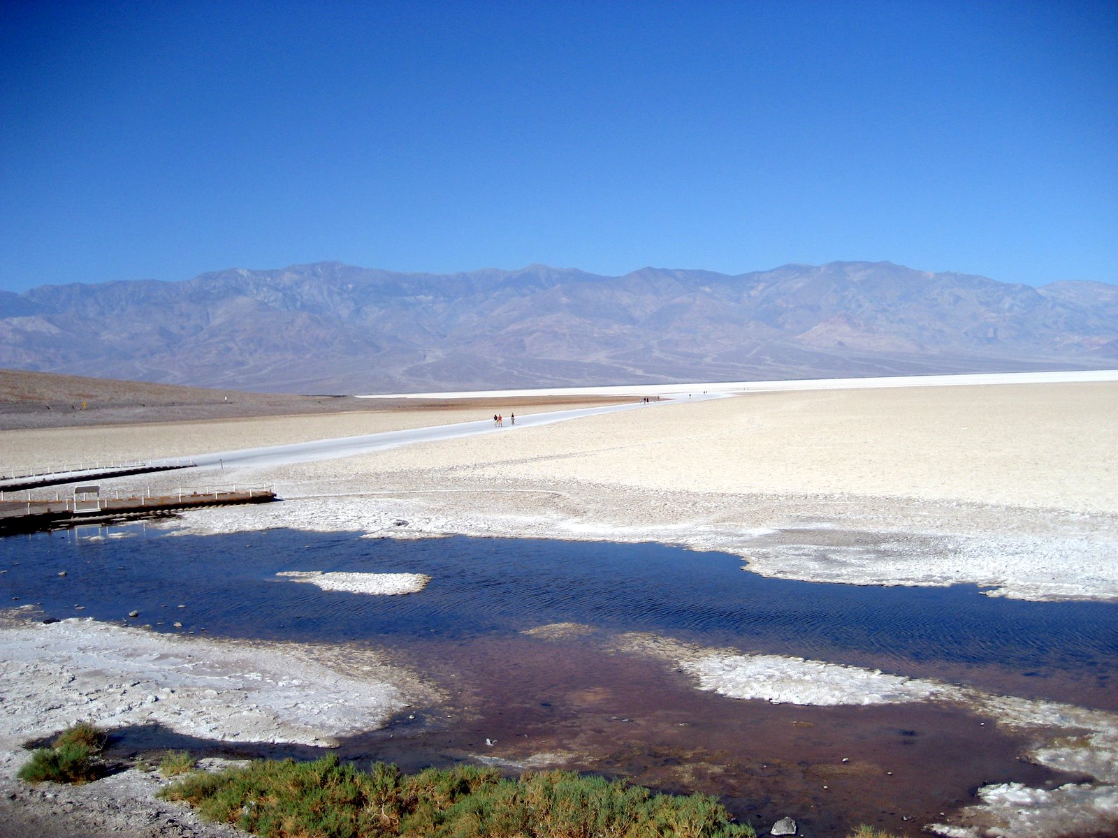
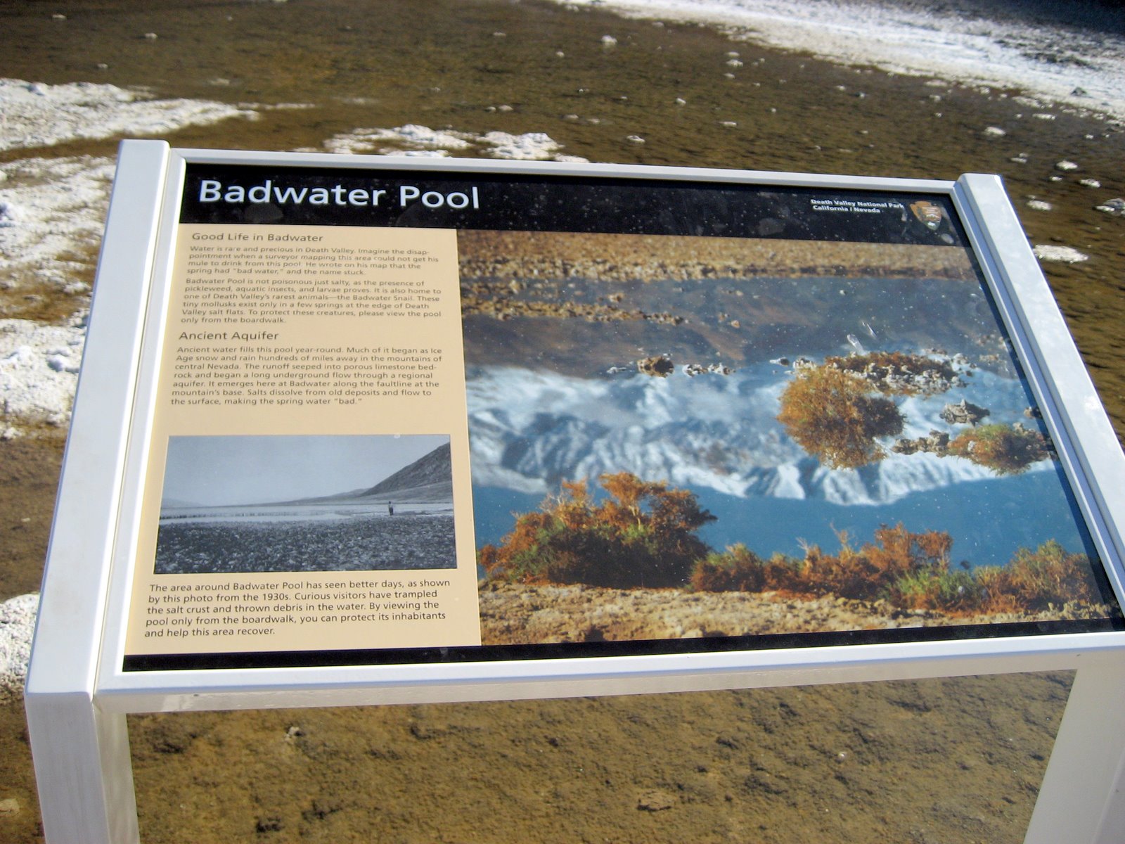
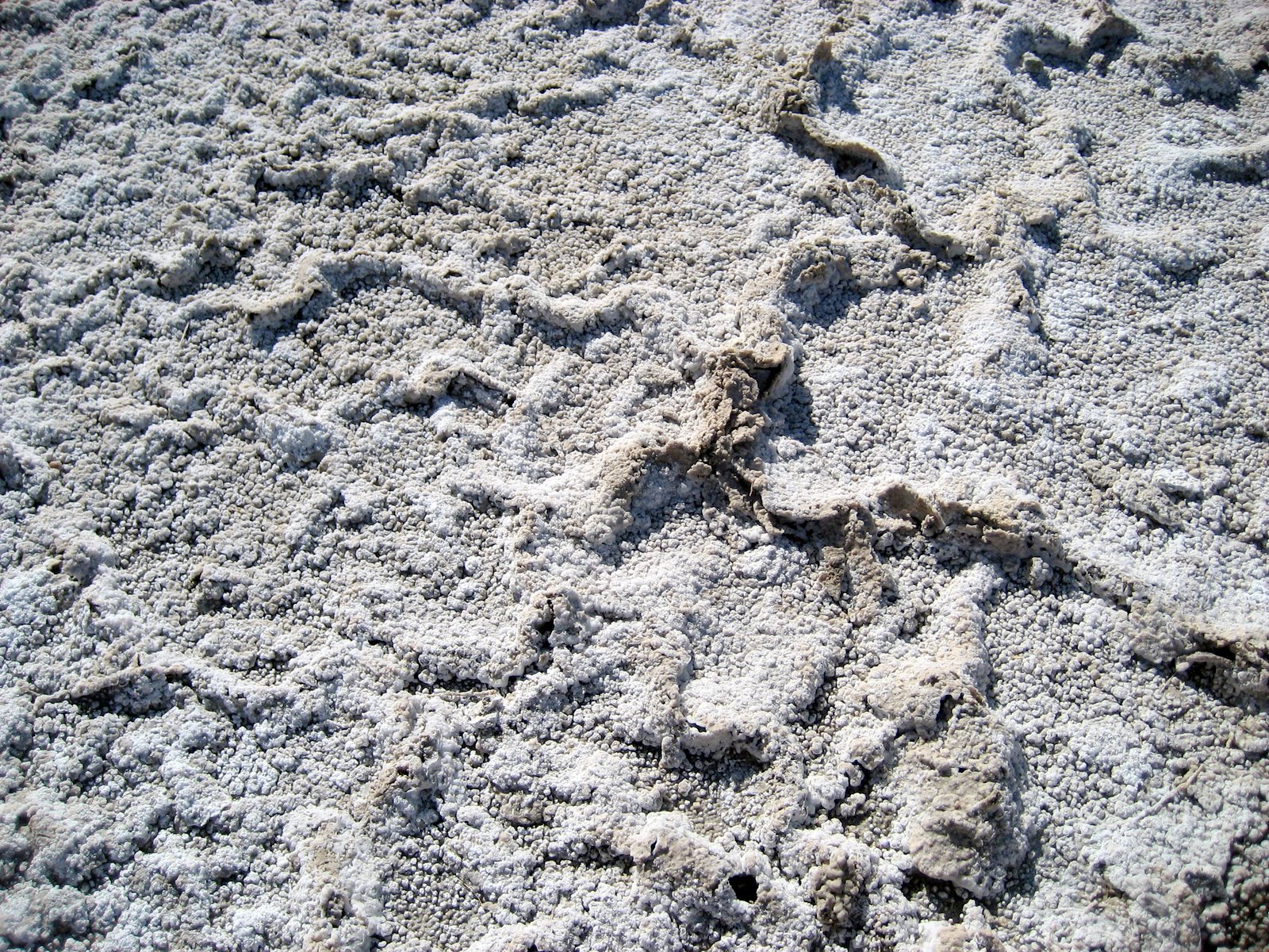
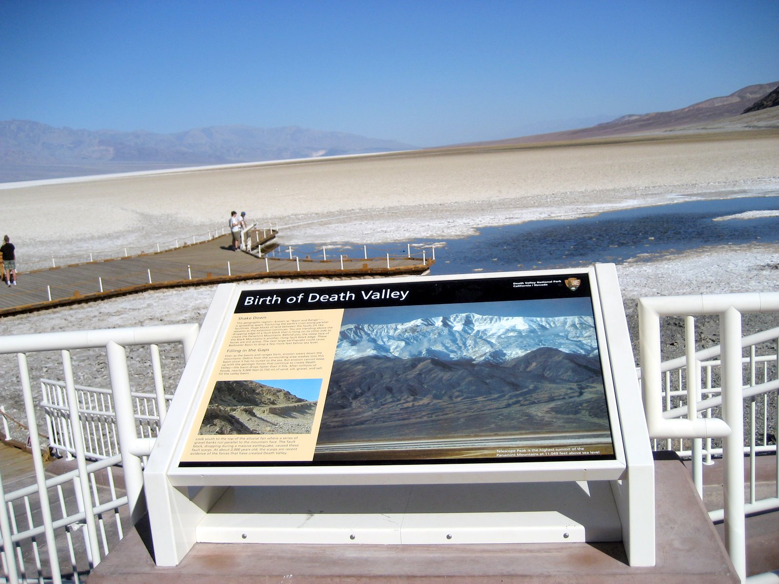
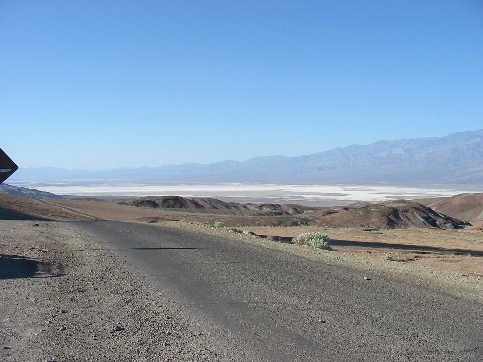
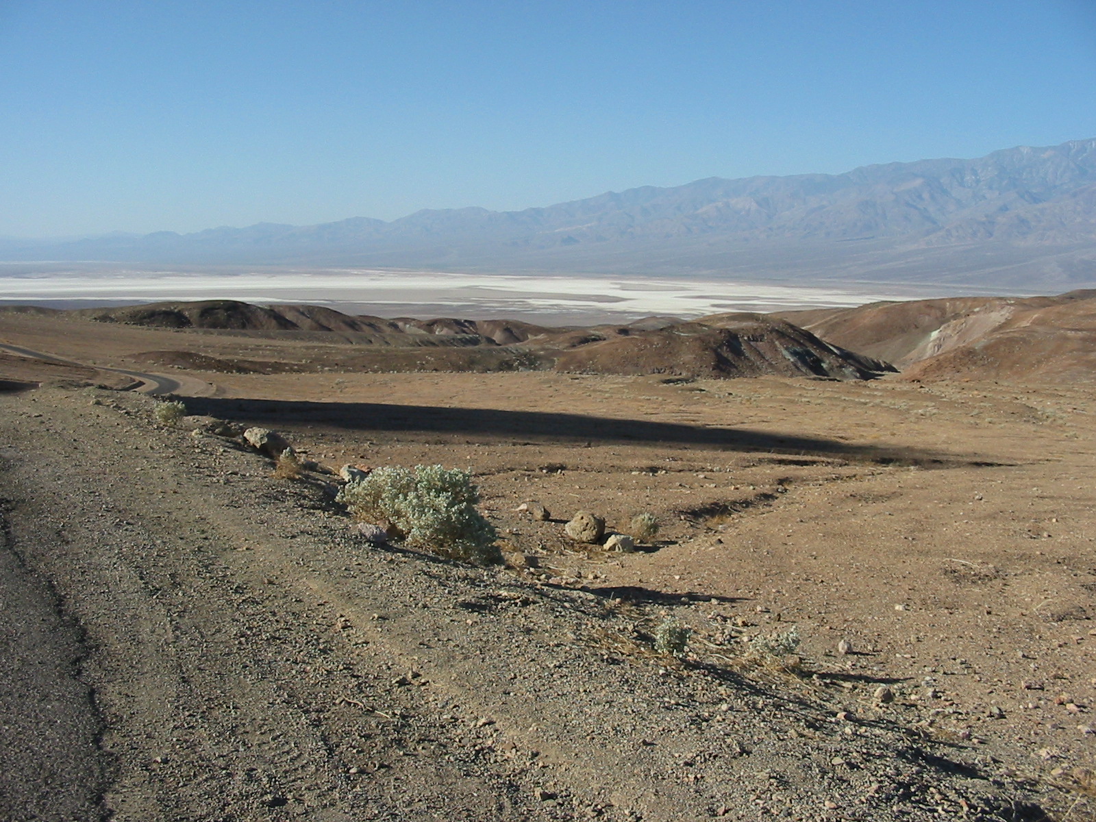
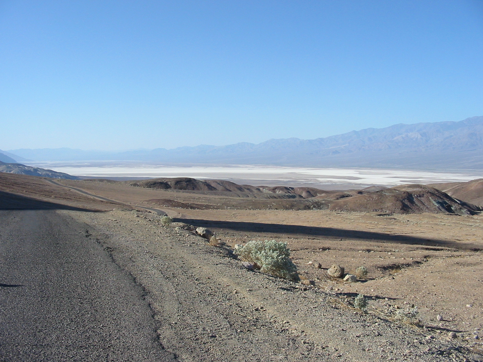
Badwater Basin.
.
.
.
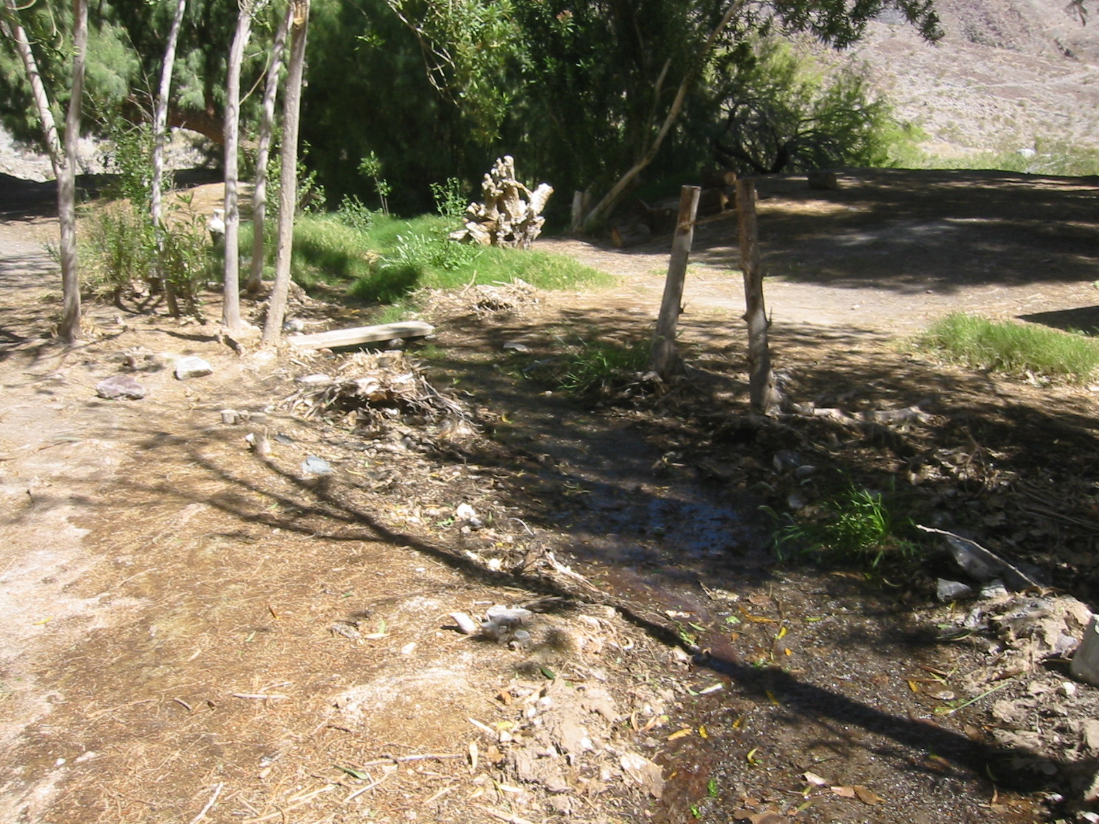
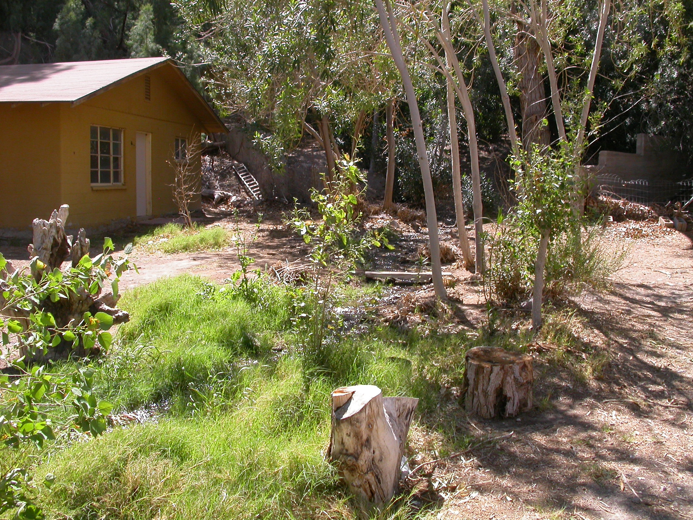
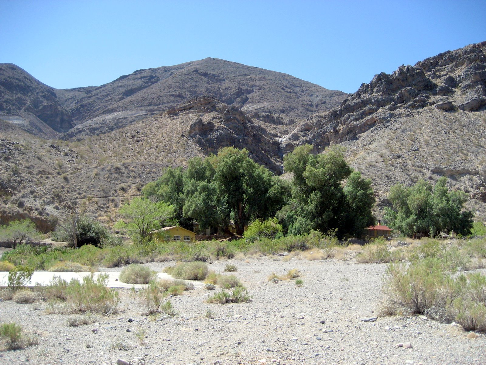
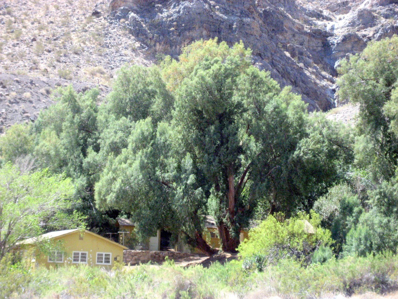
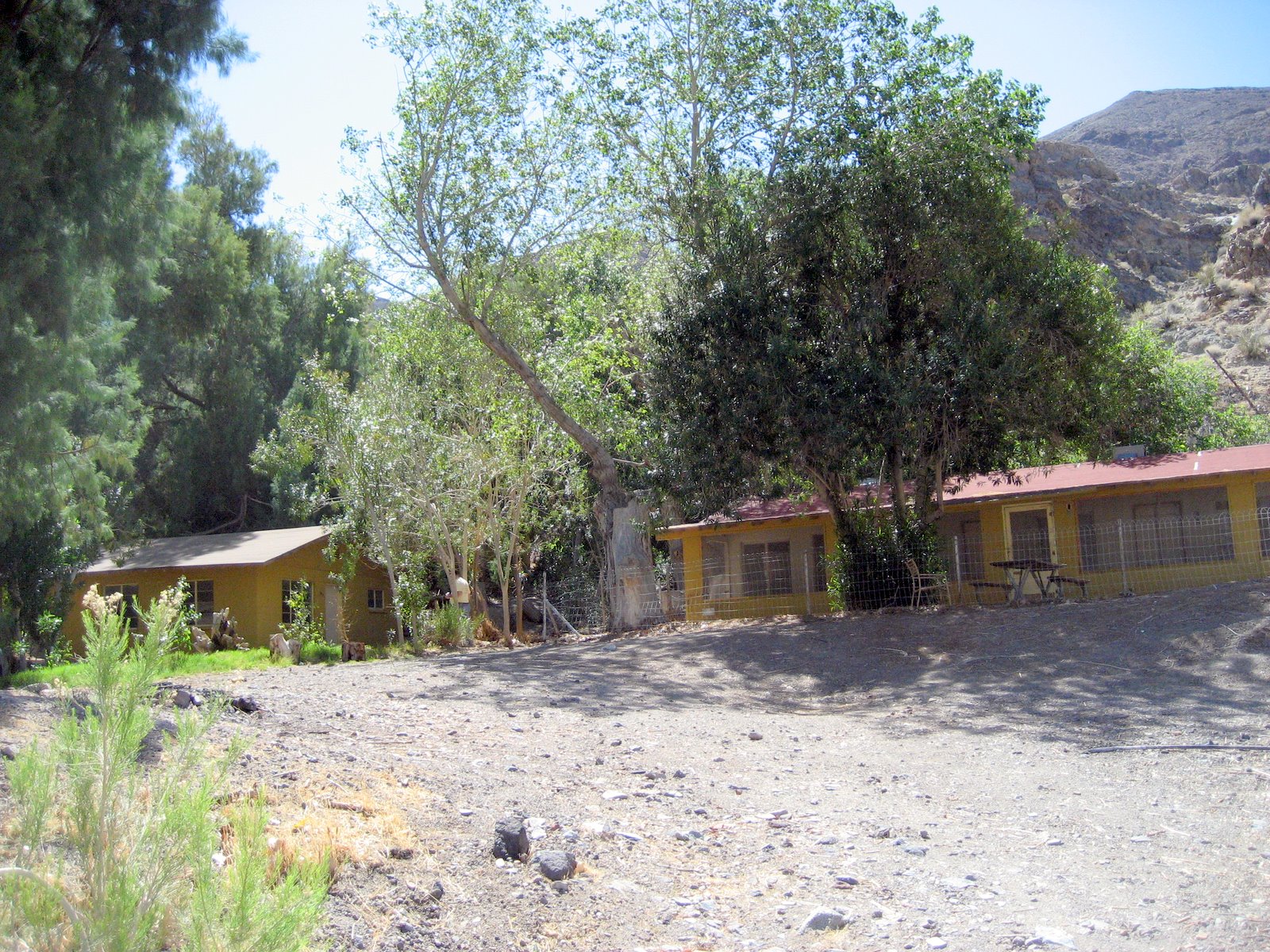
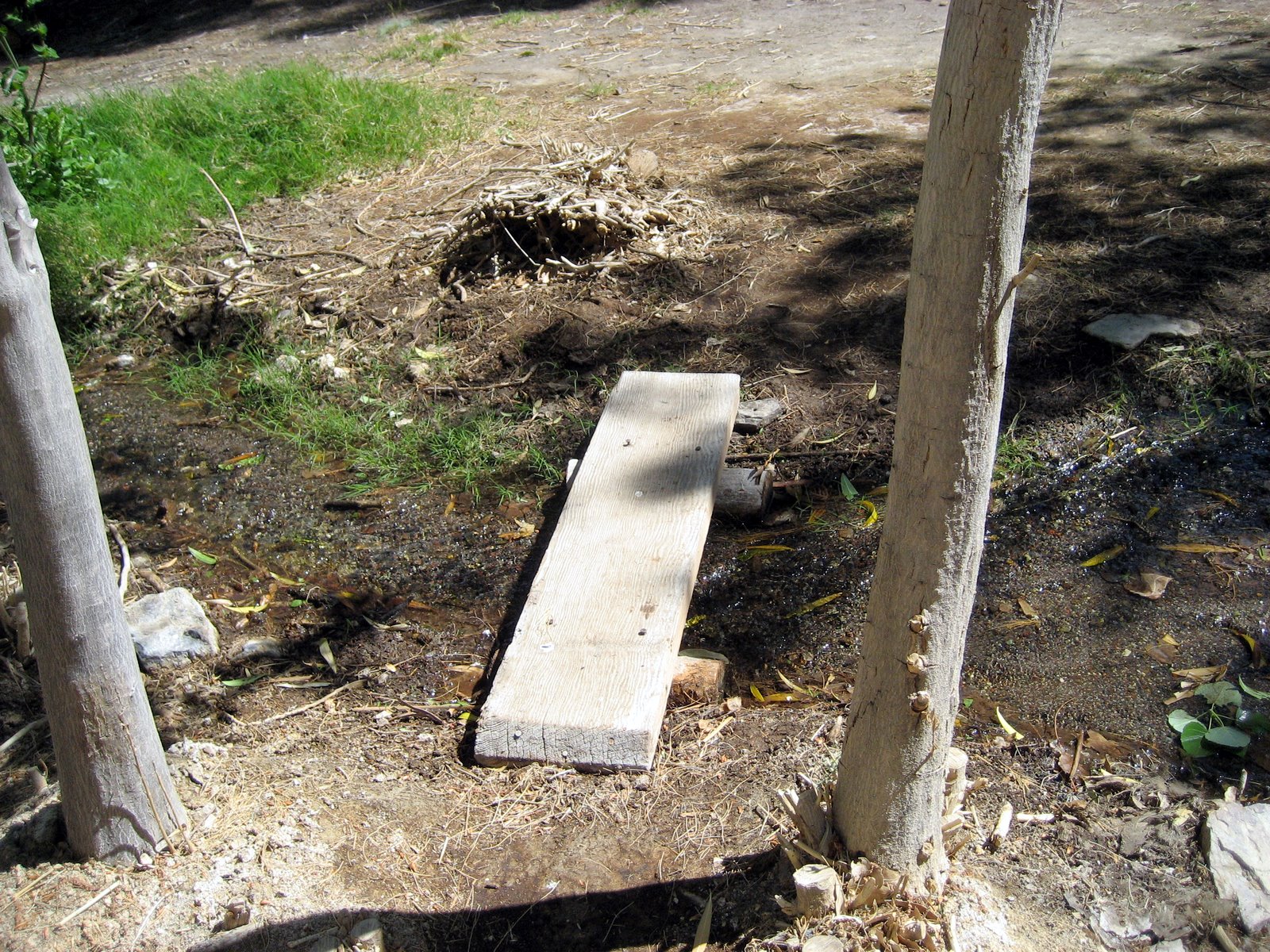
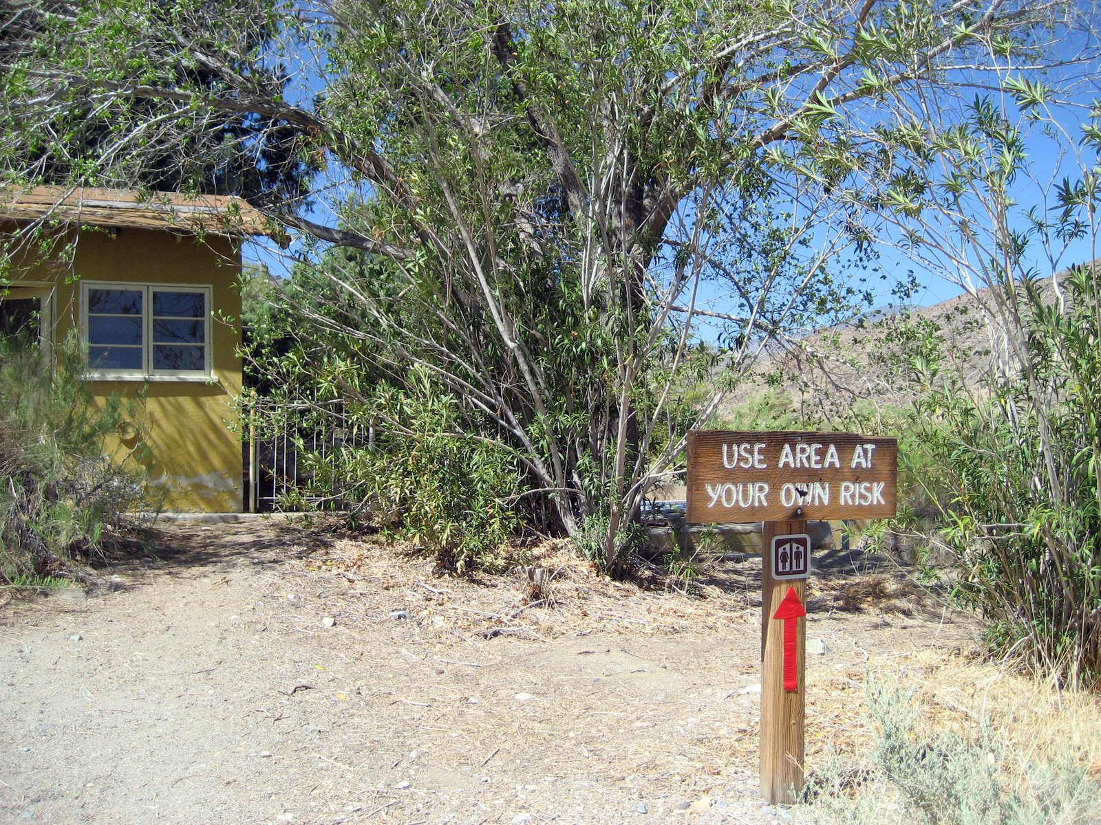
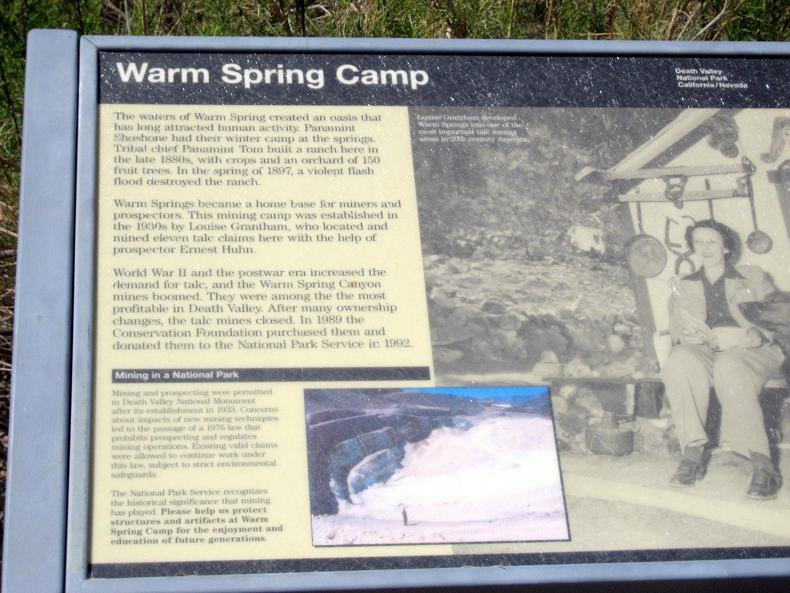
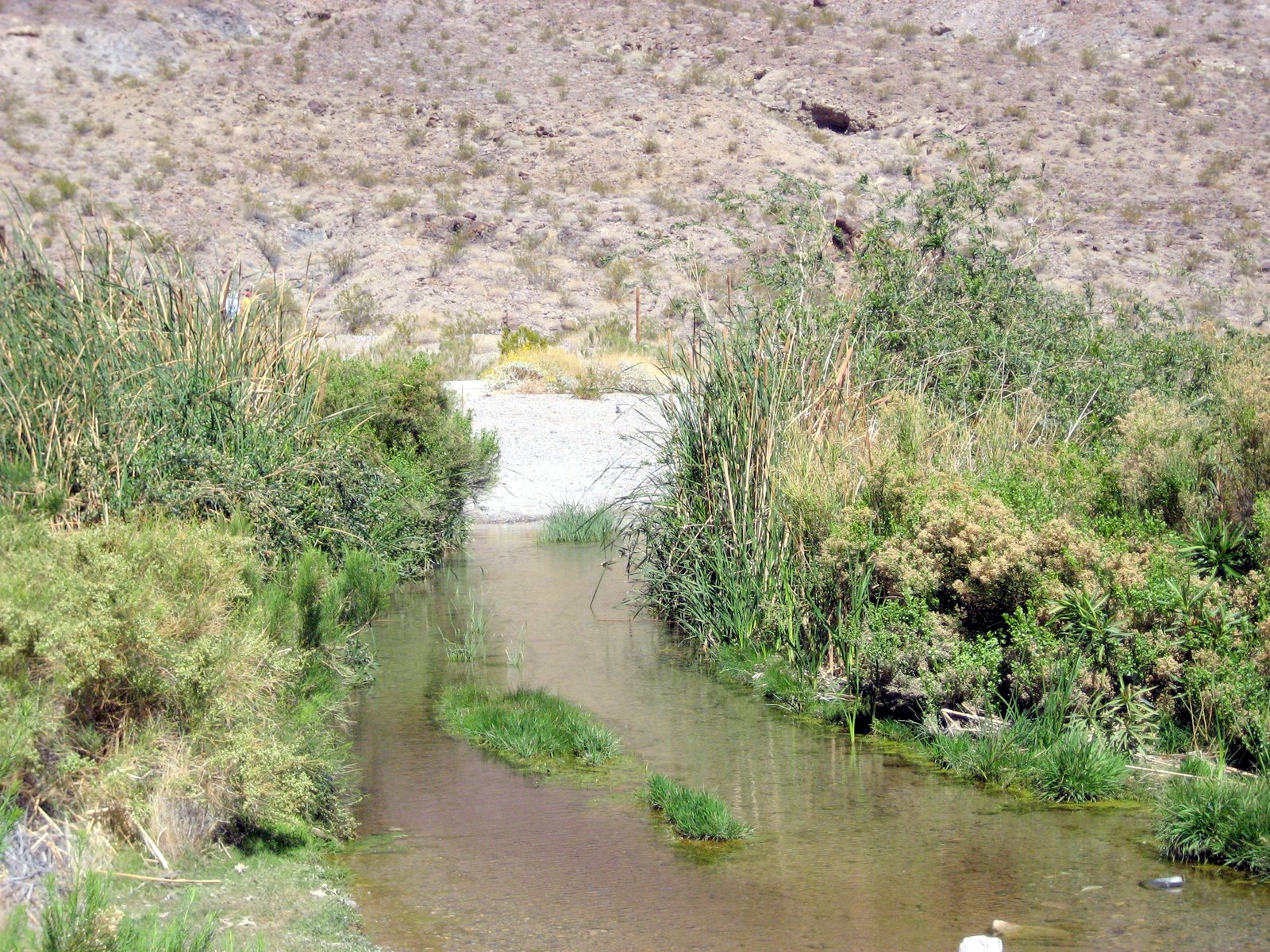
Warm Spring.
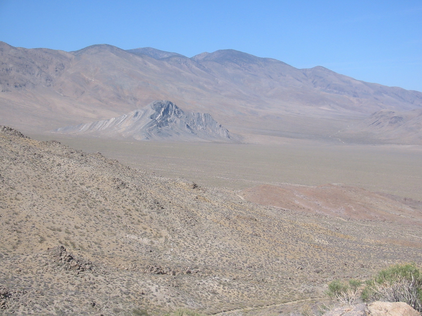
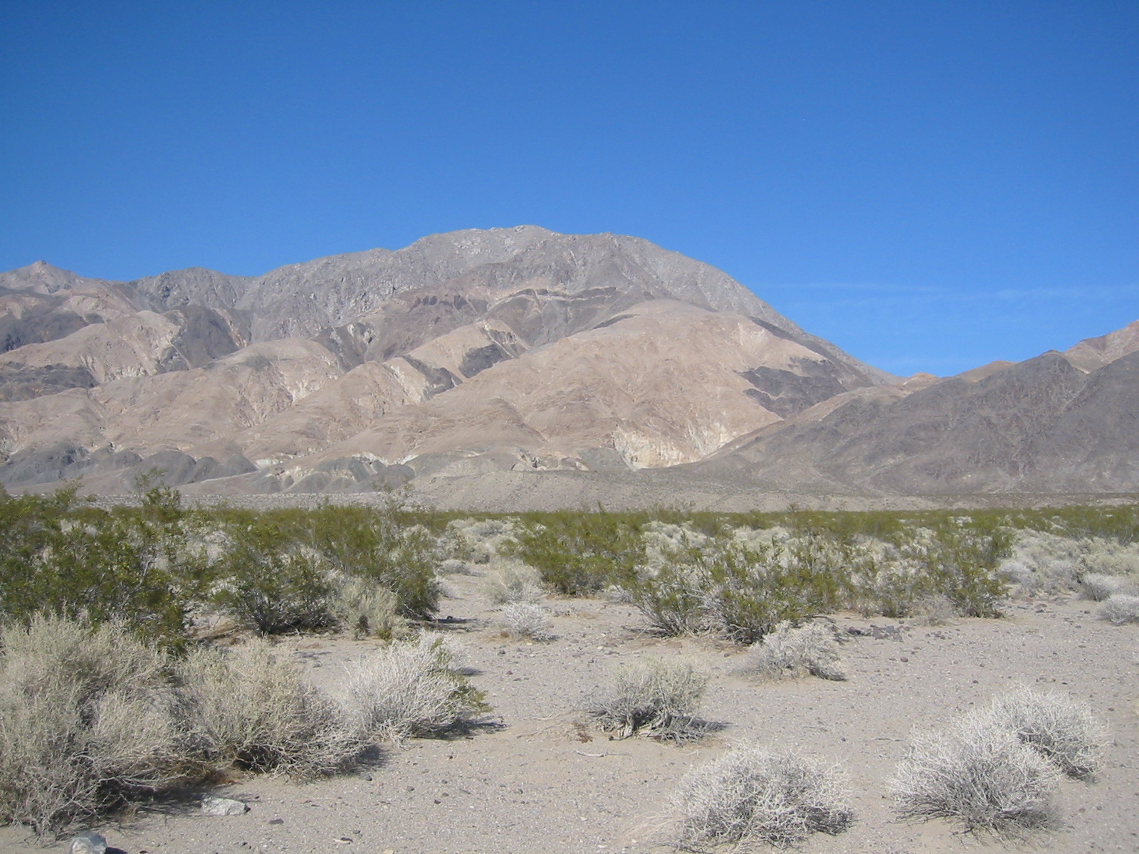
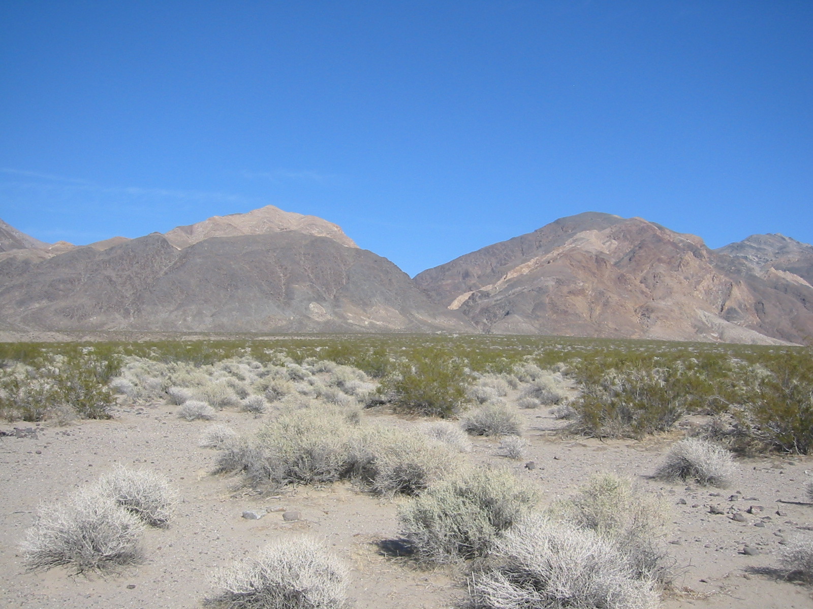
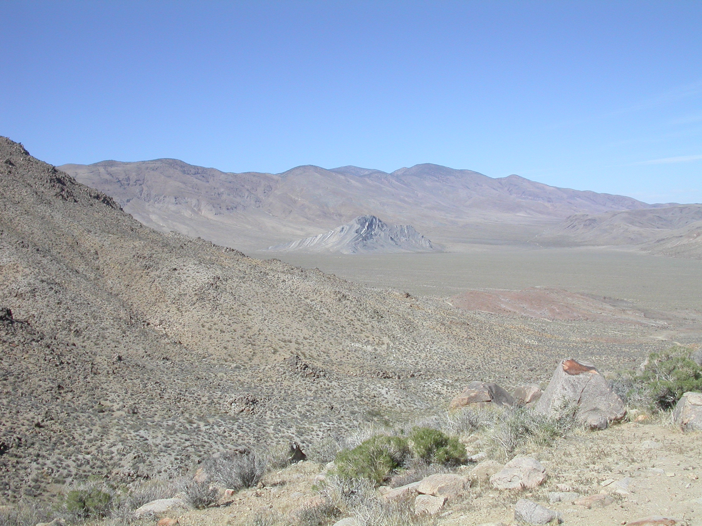
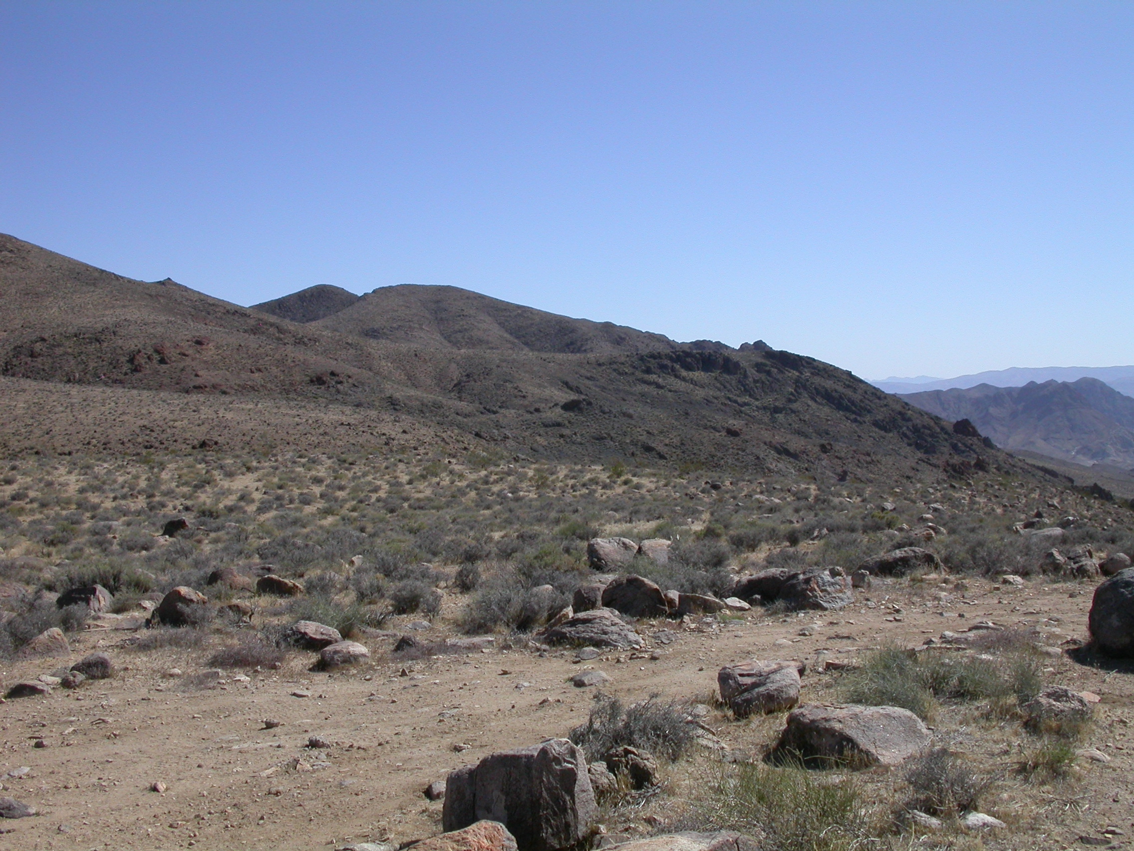
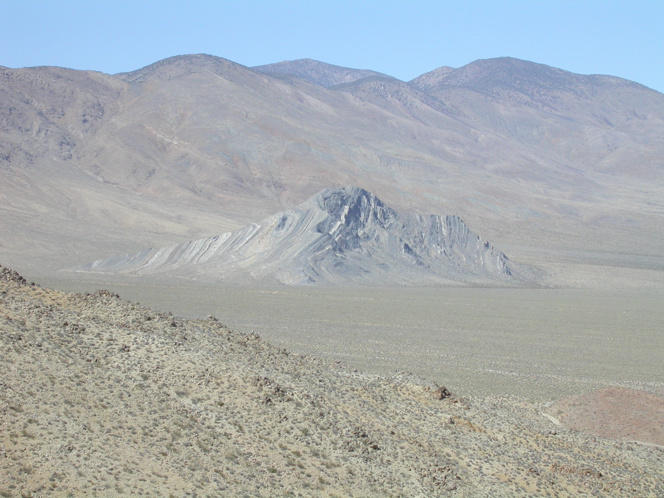
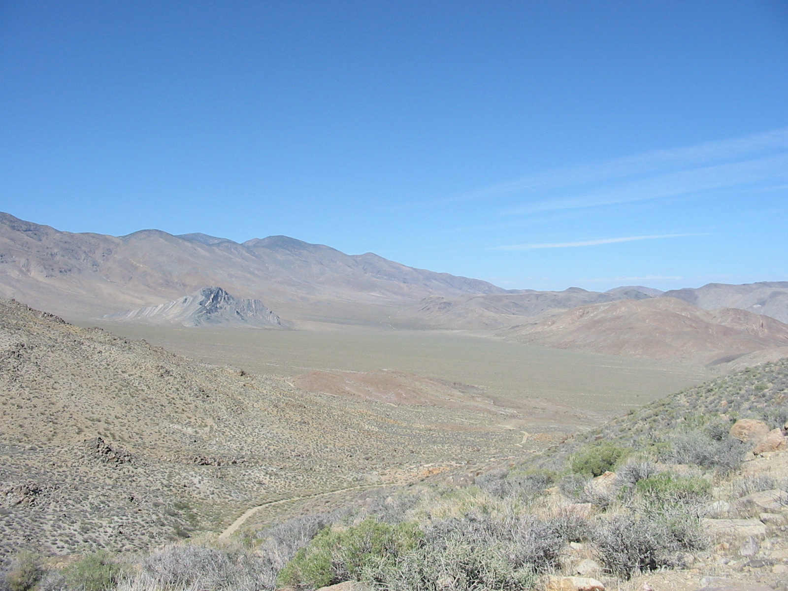
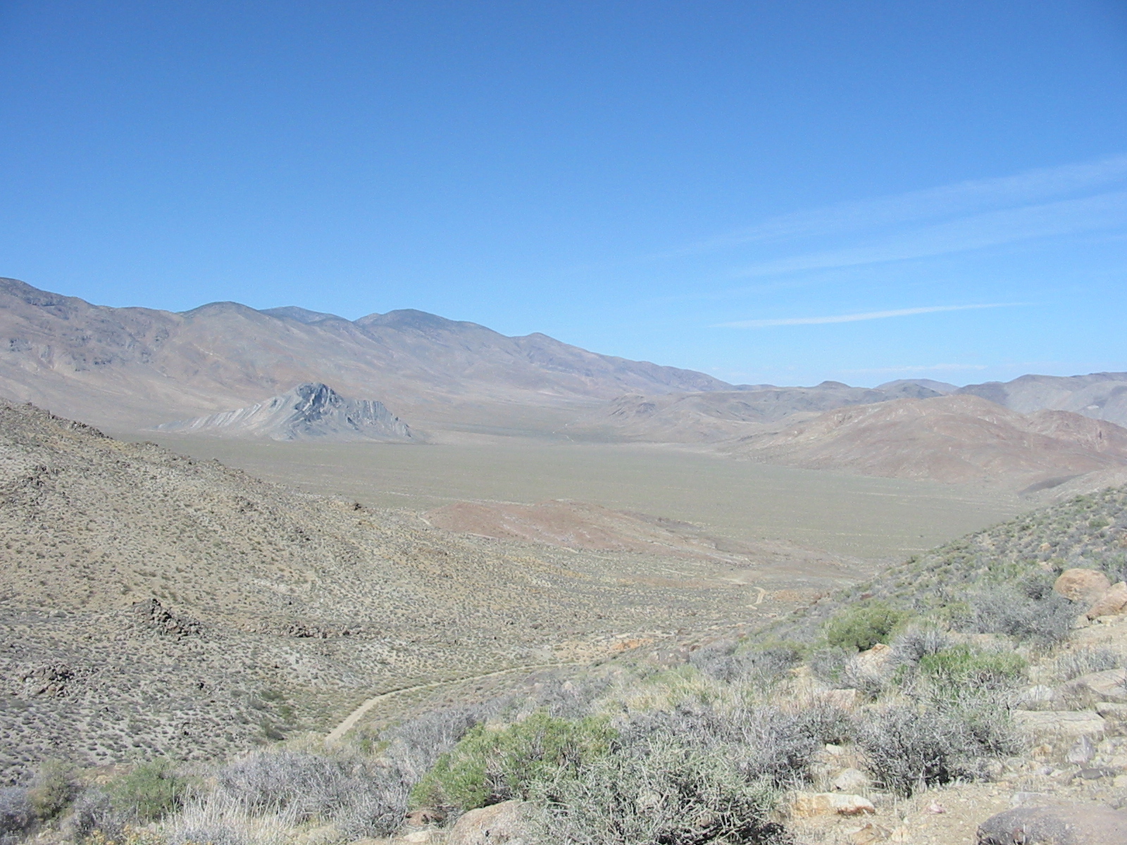
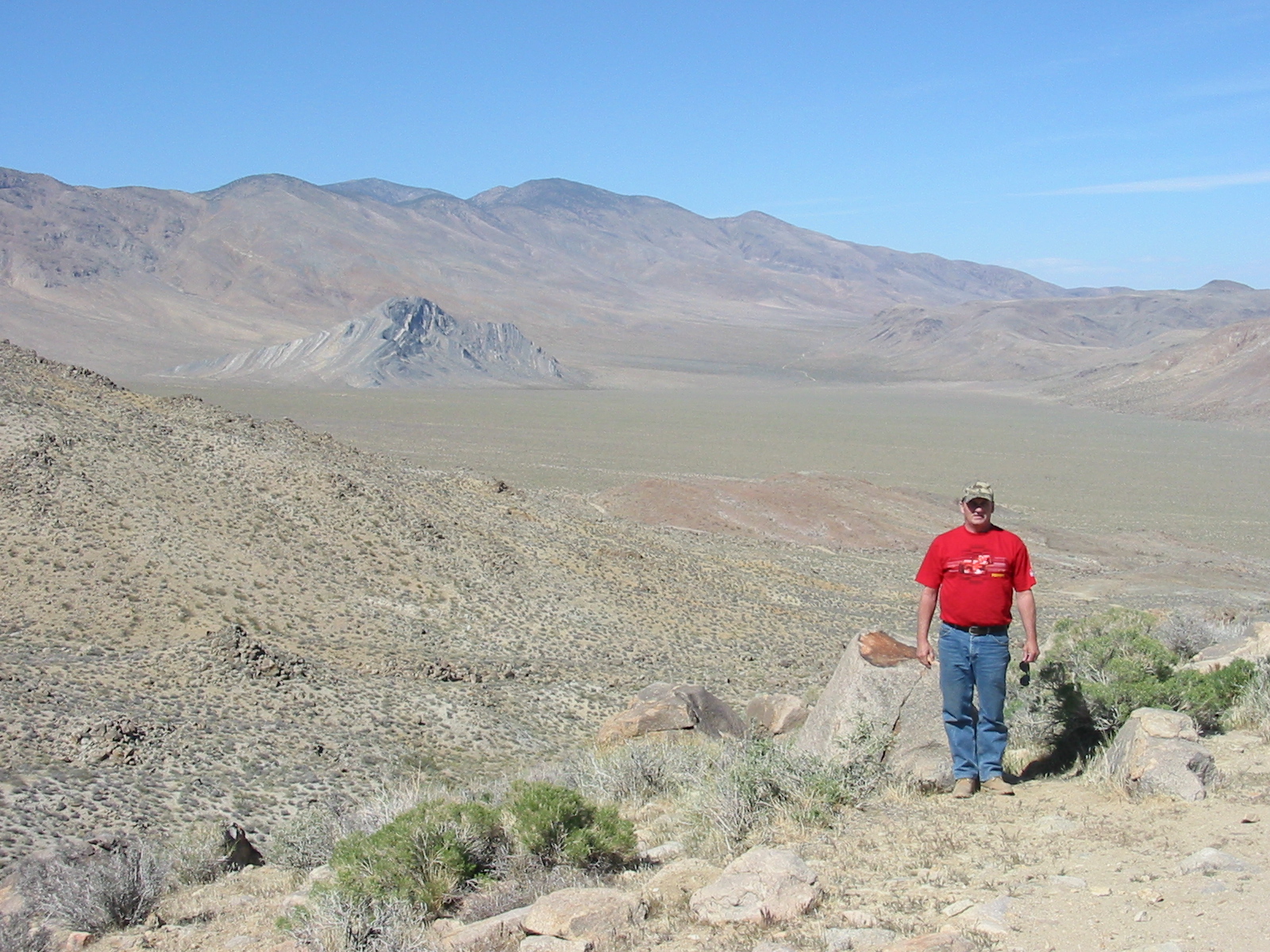
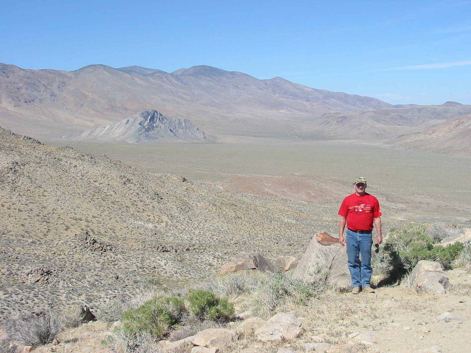
Striped Butte as seen from Mengel Pass.
.
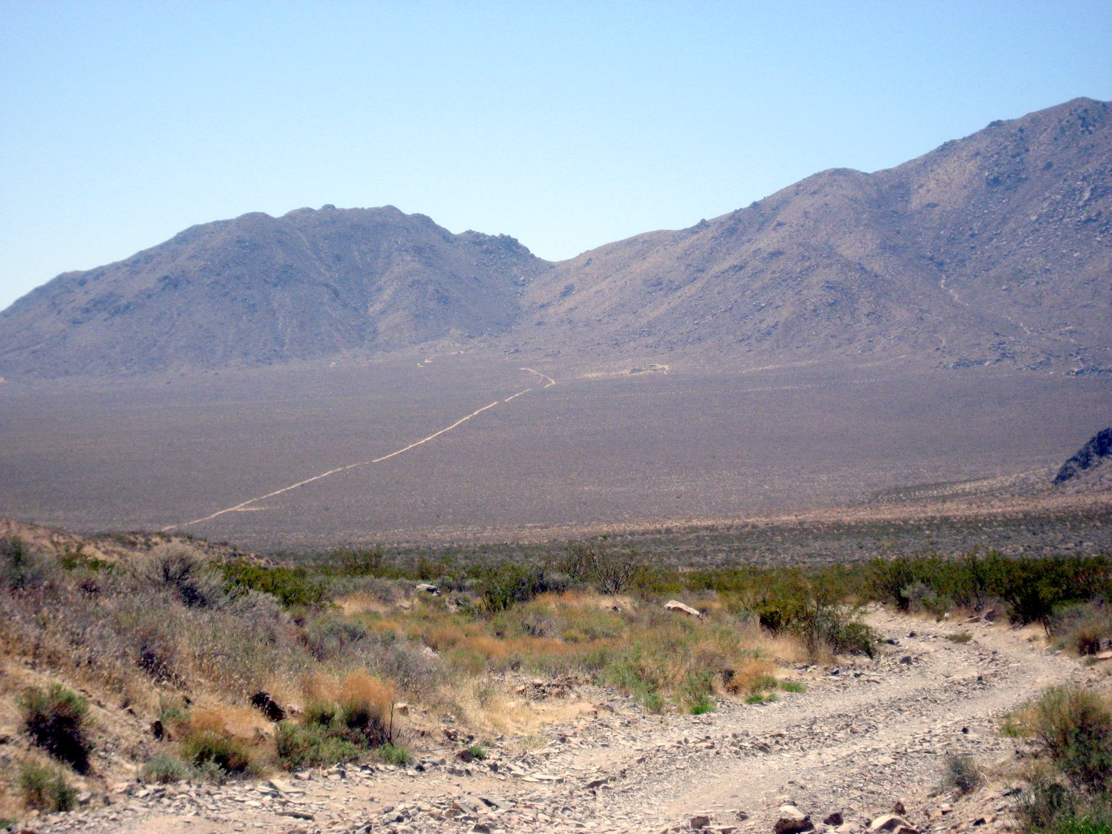
Mengel Pass.
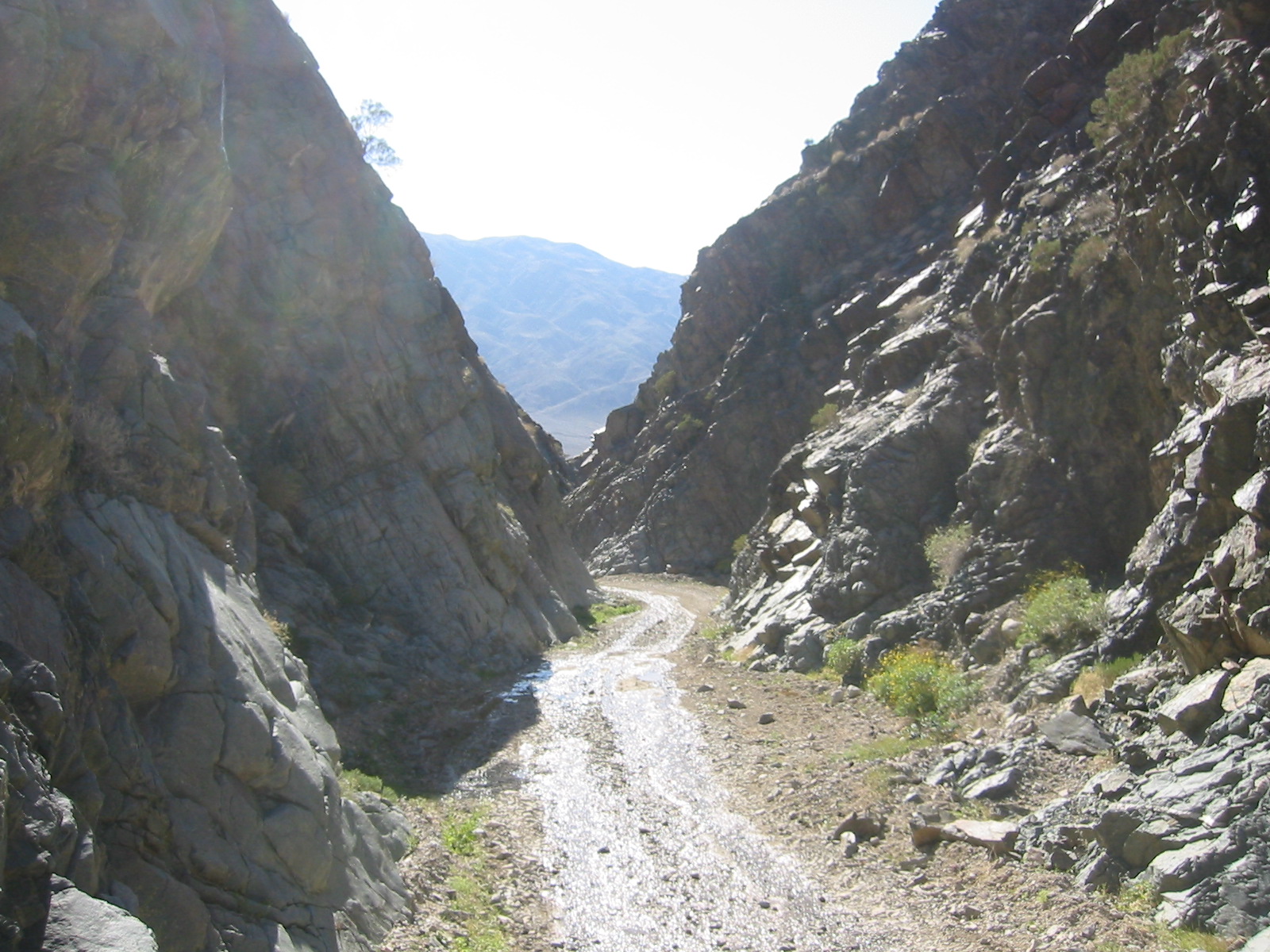
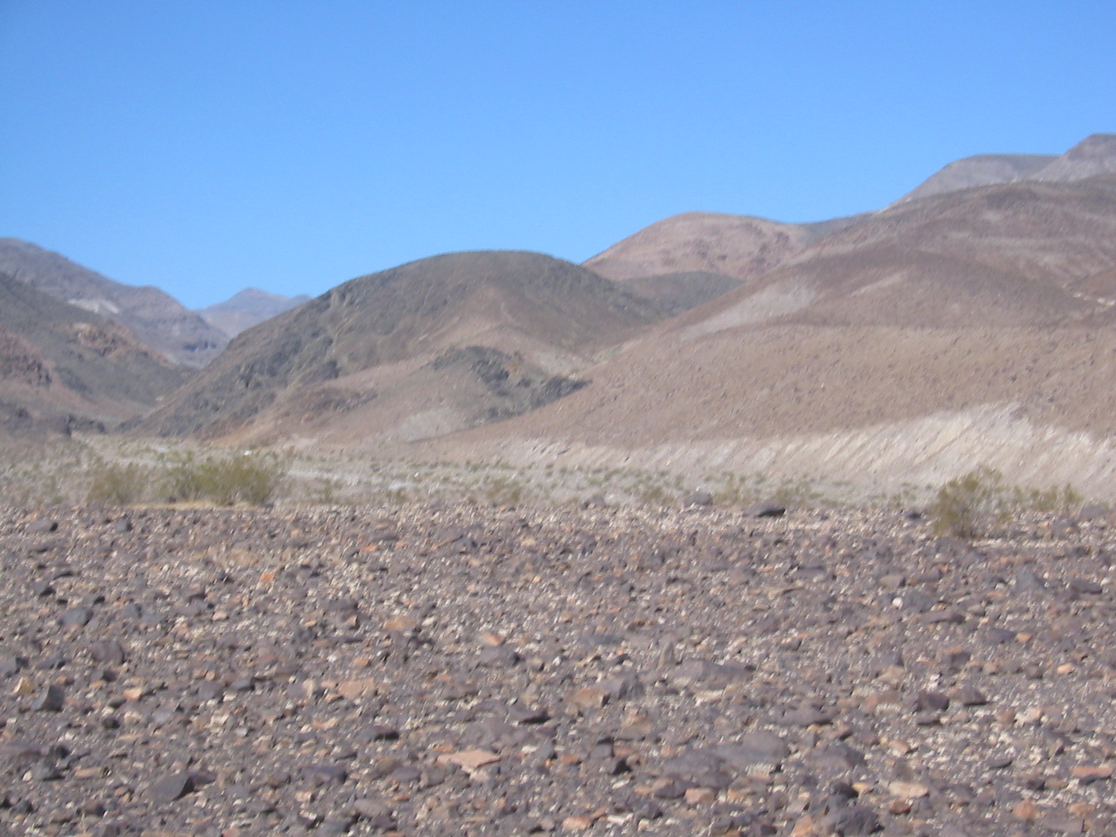
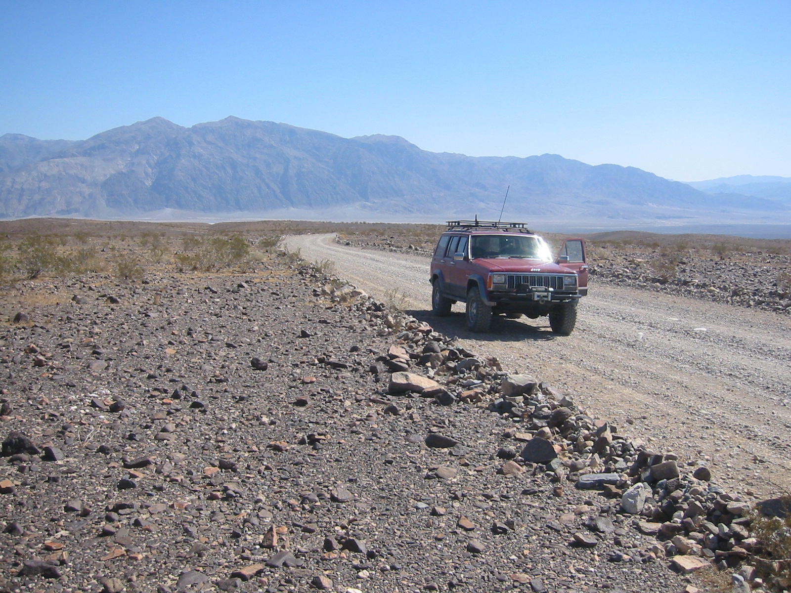
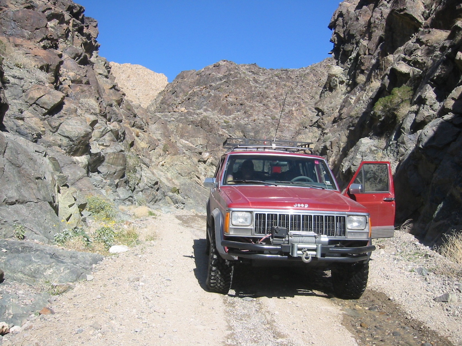
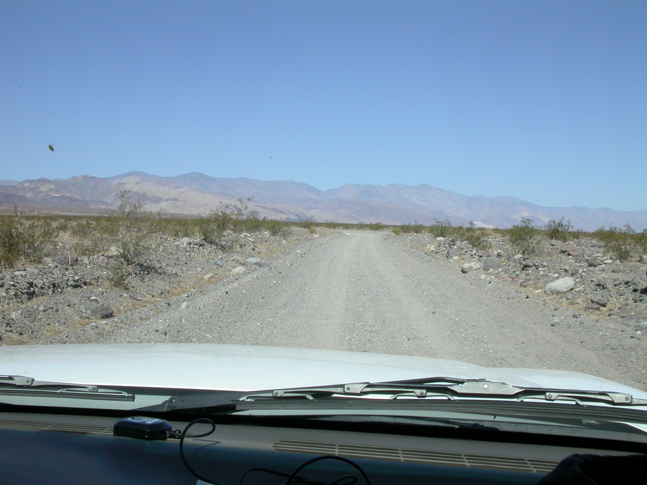
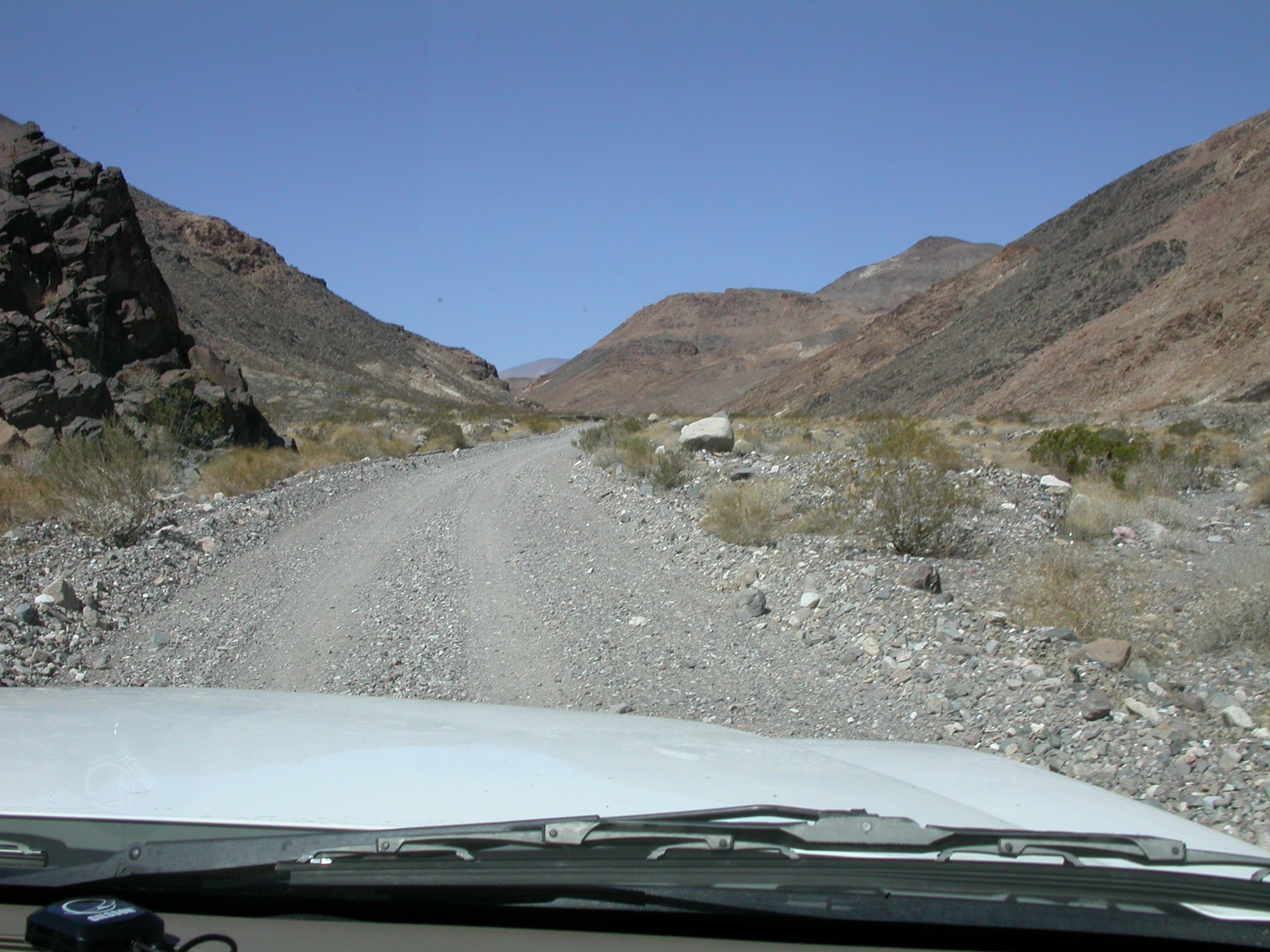
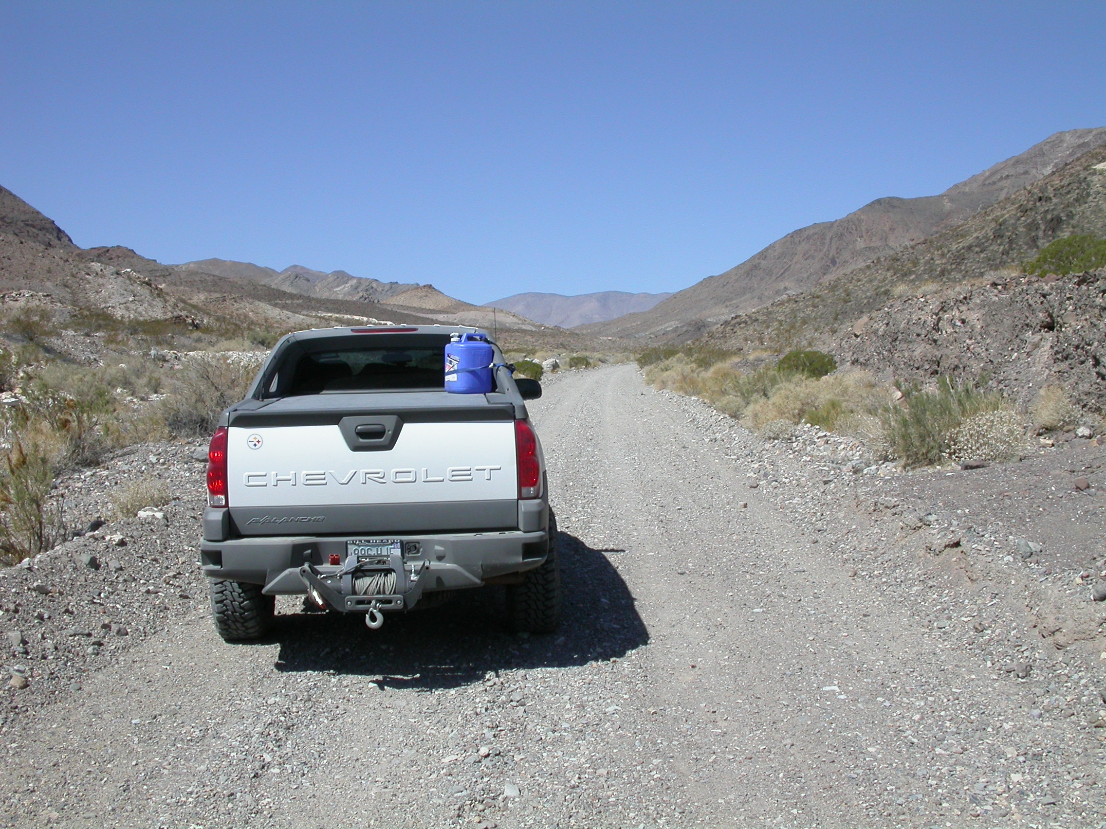
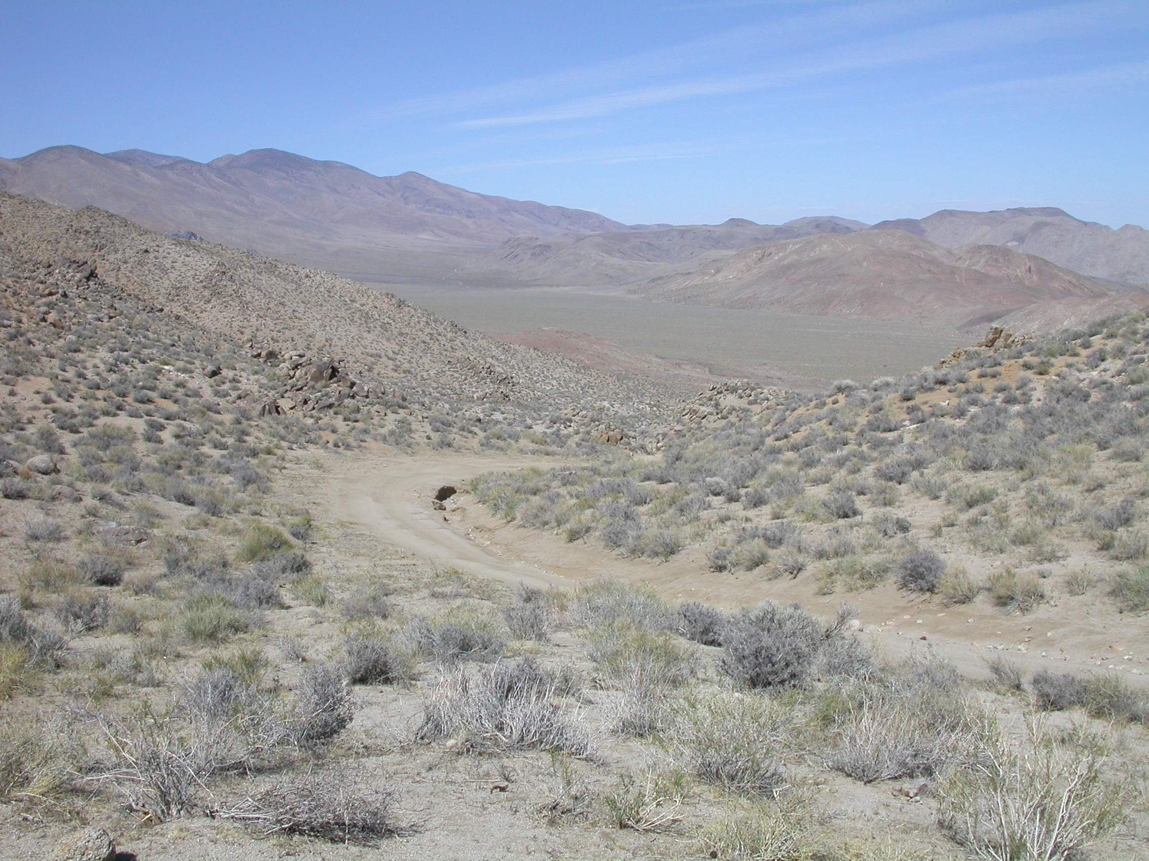
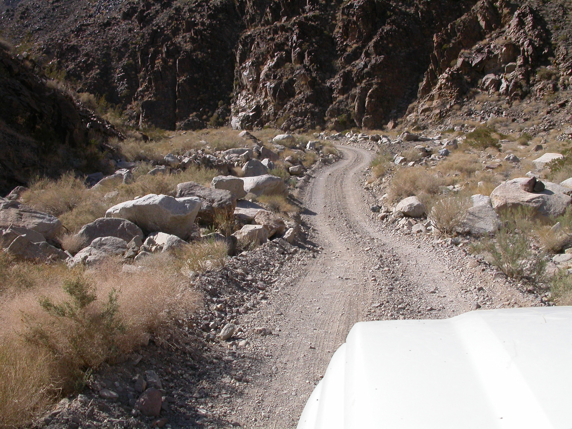
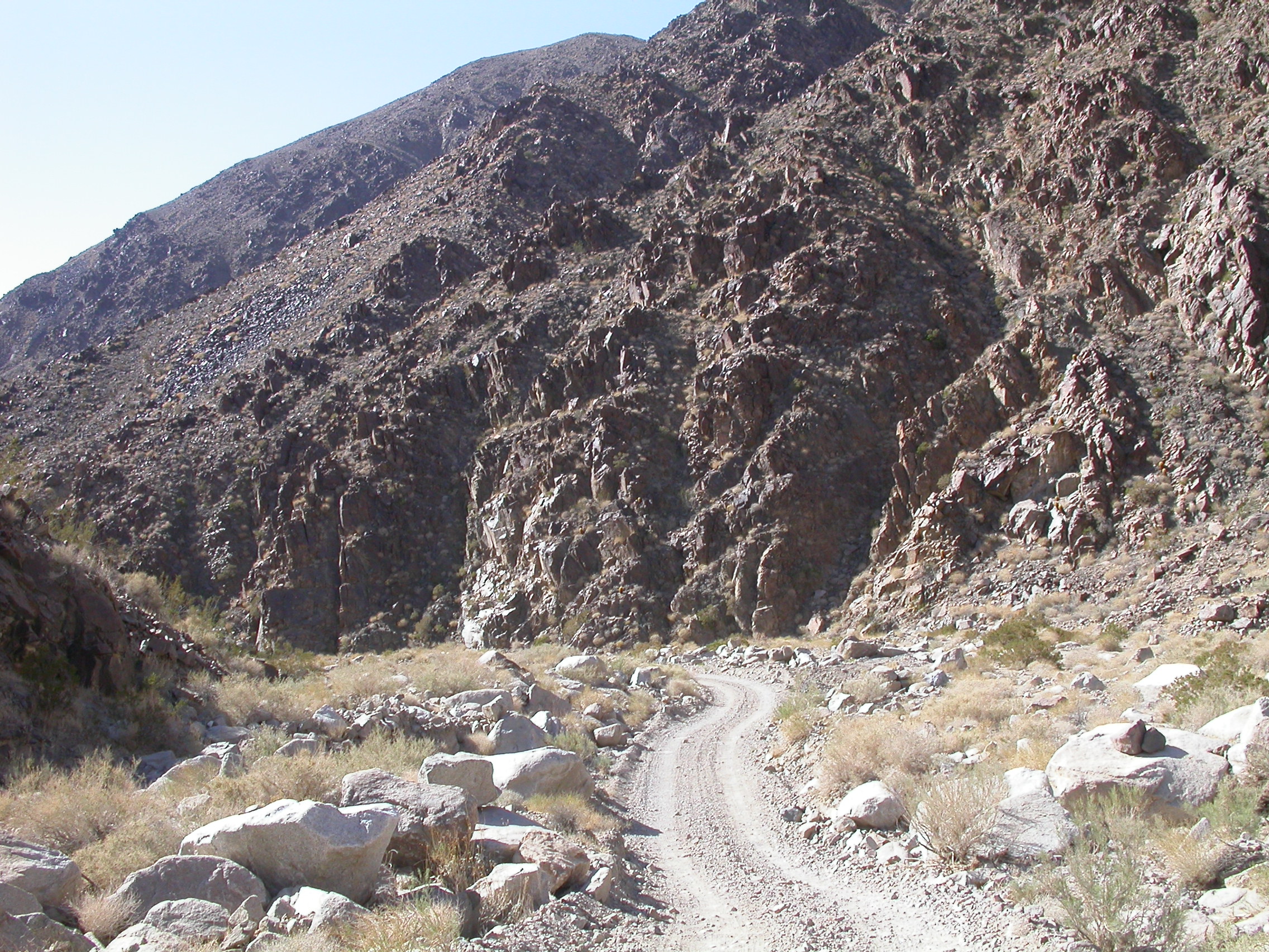
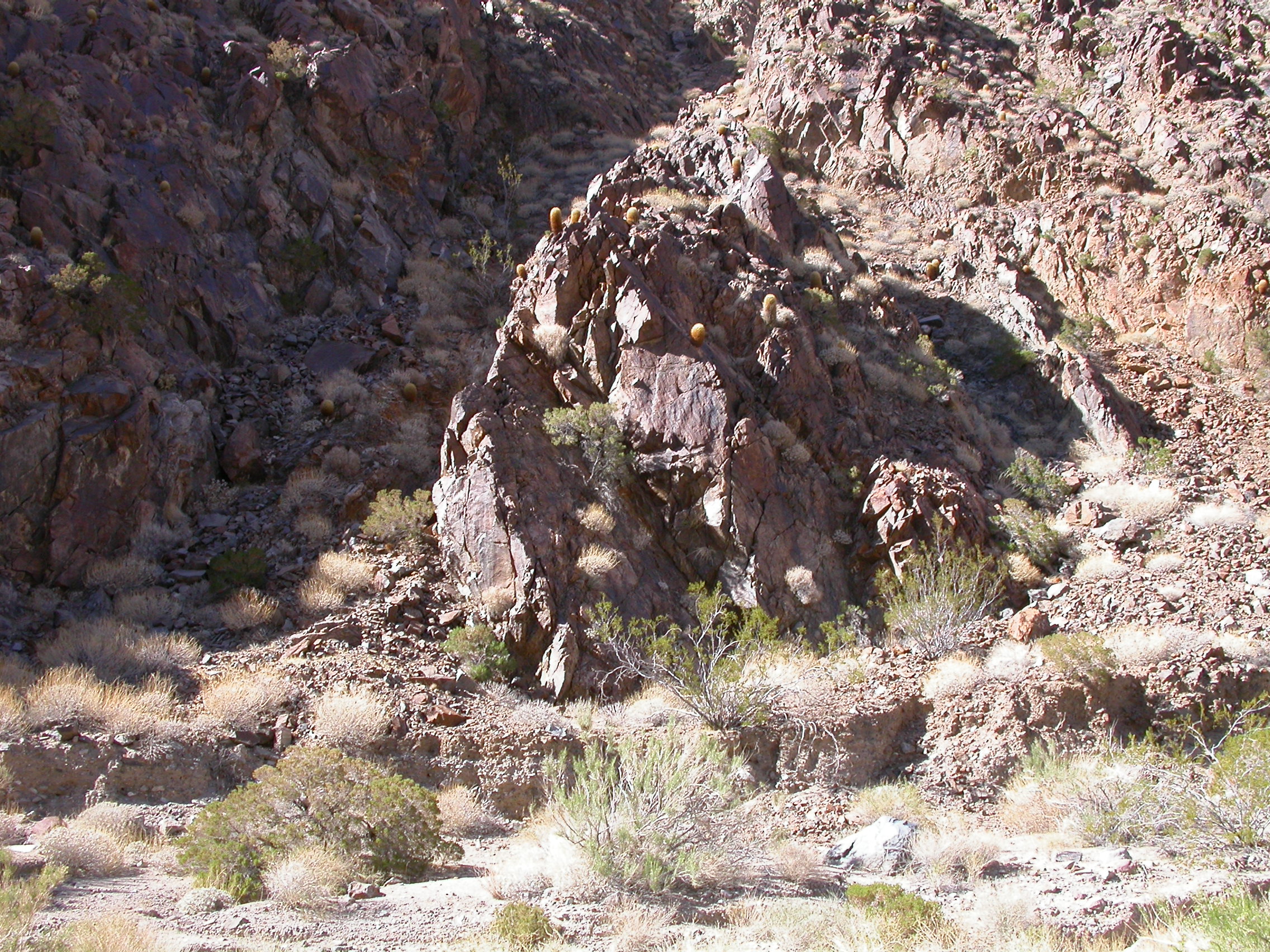
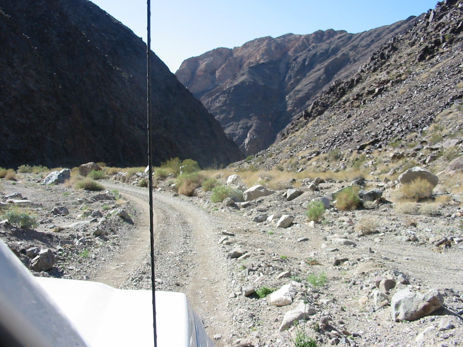
Goler Wash.
.
.
.
.
.

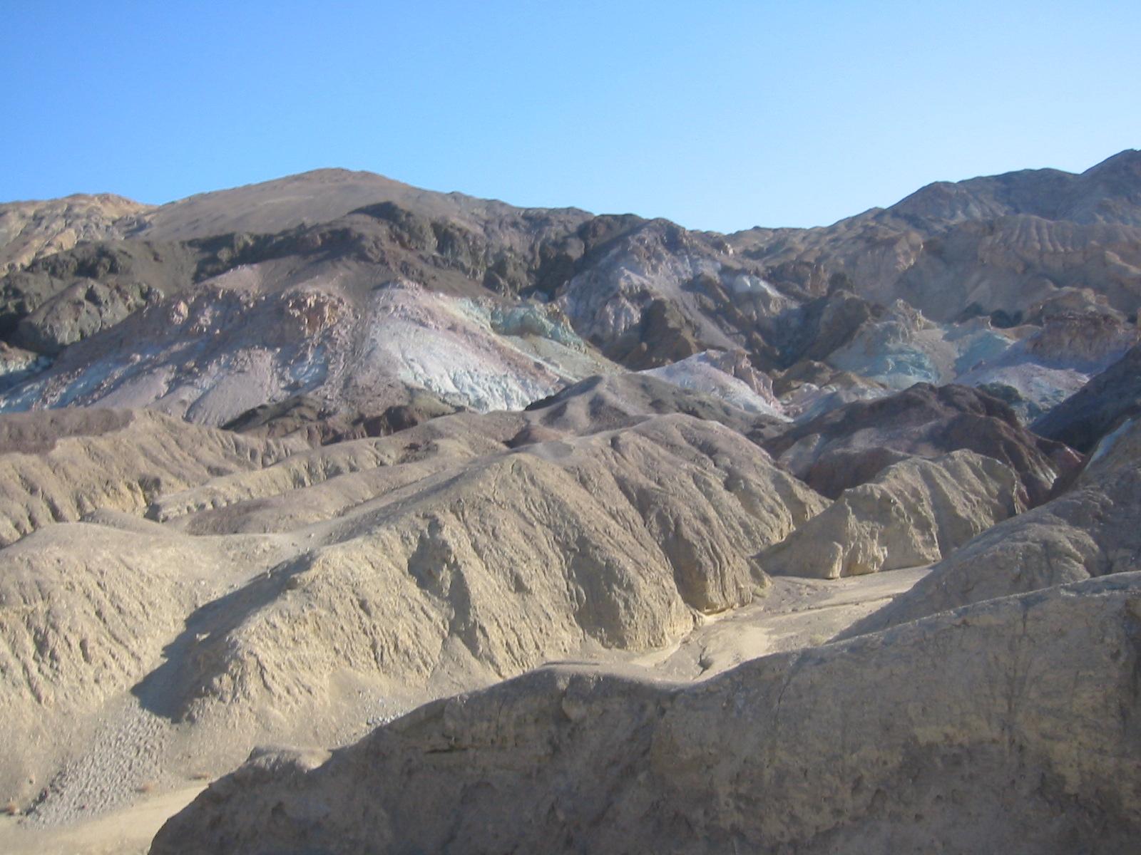
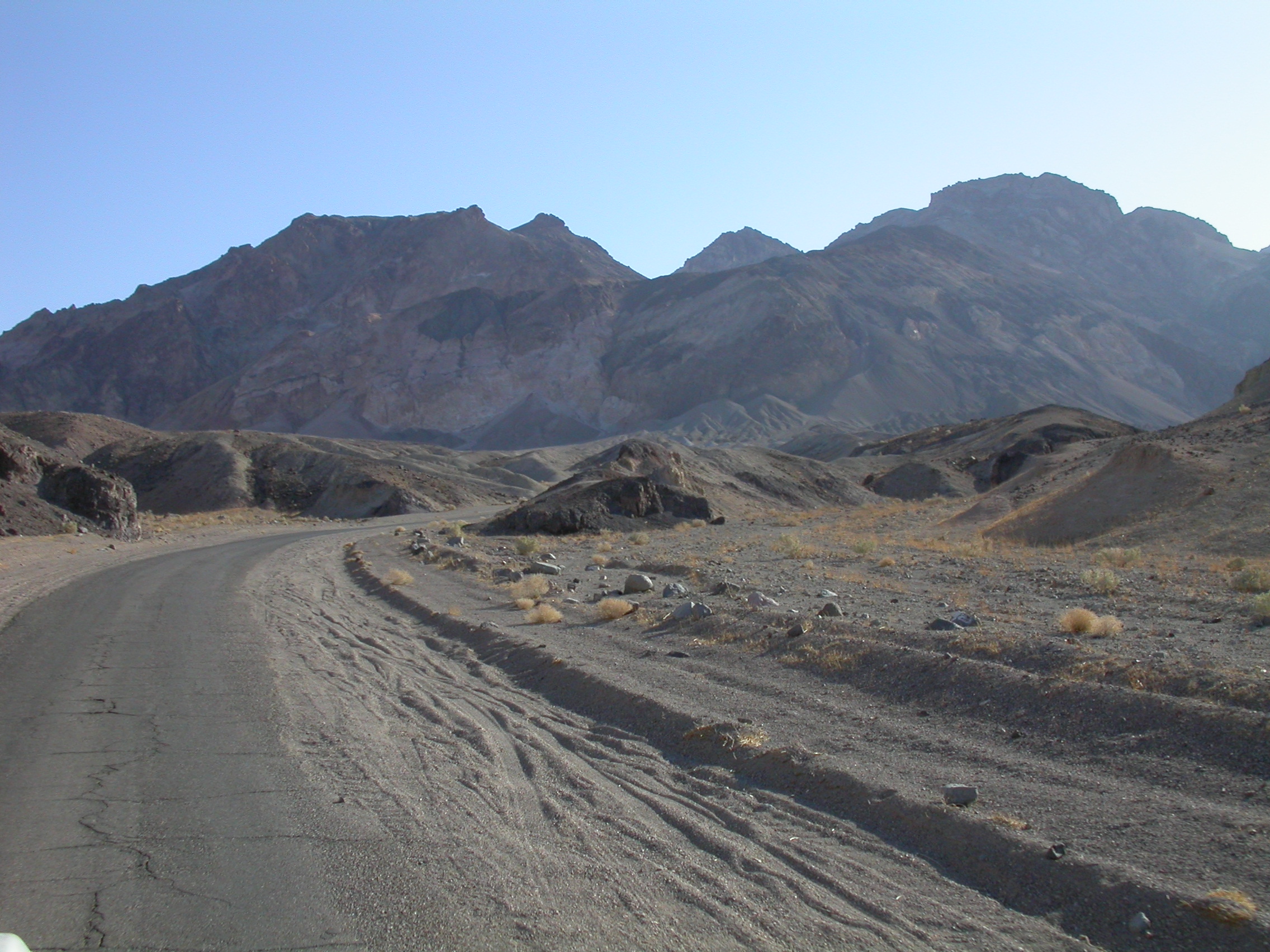
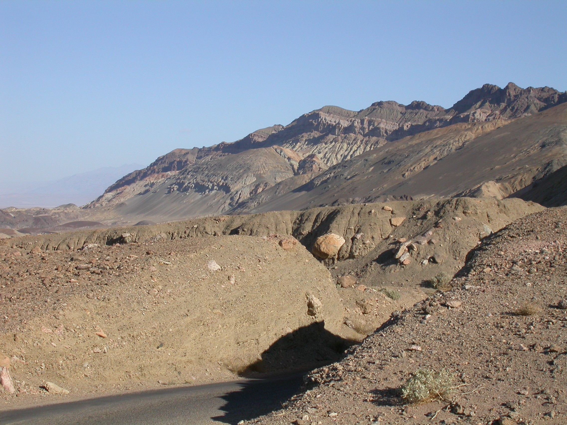
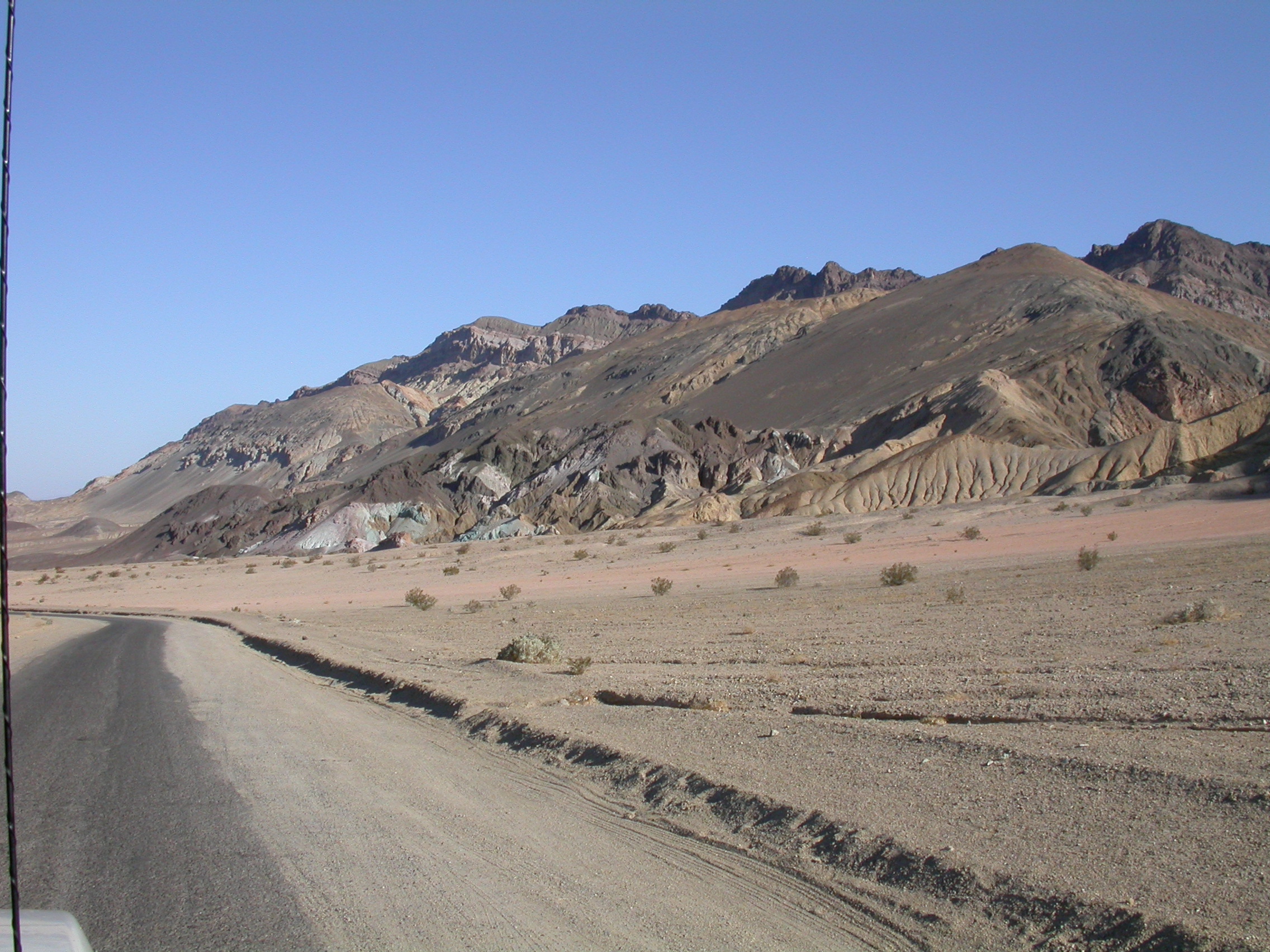
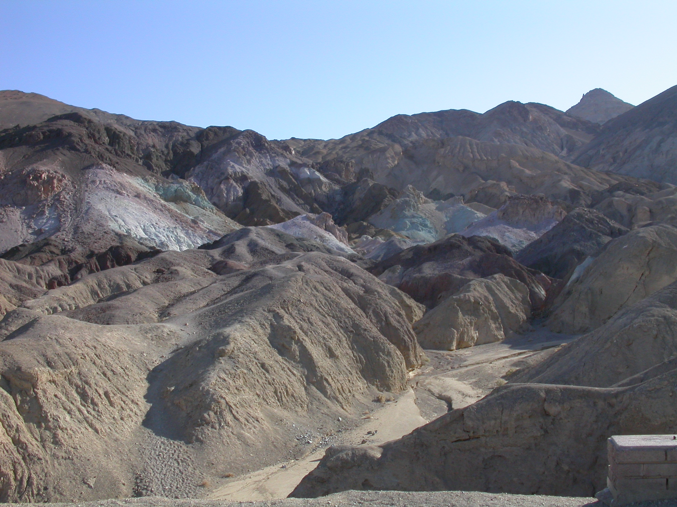
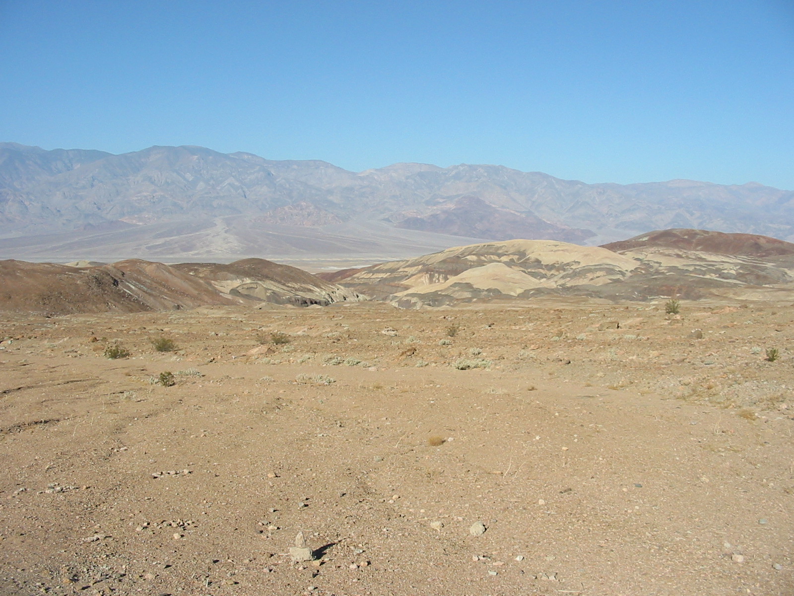
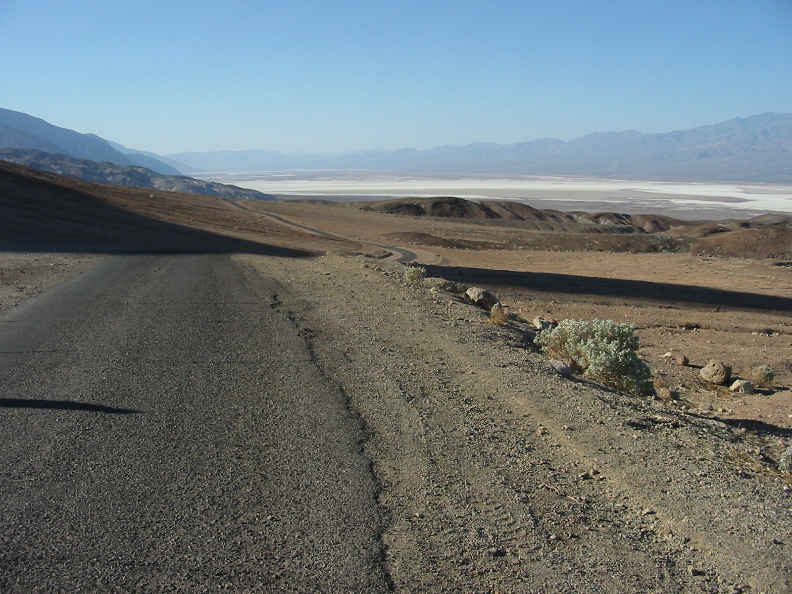
View from Artist's Loop.
.
.
.
.
.
.

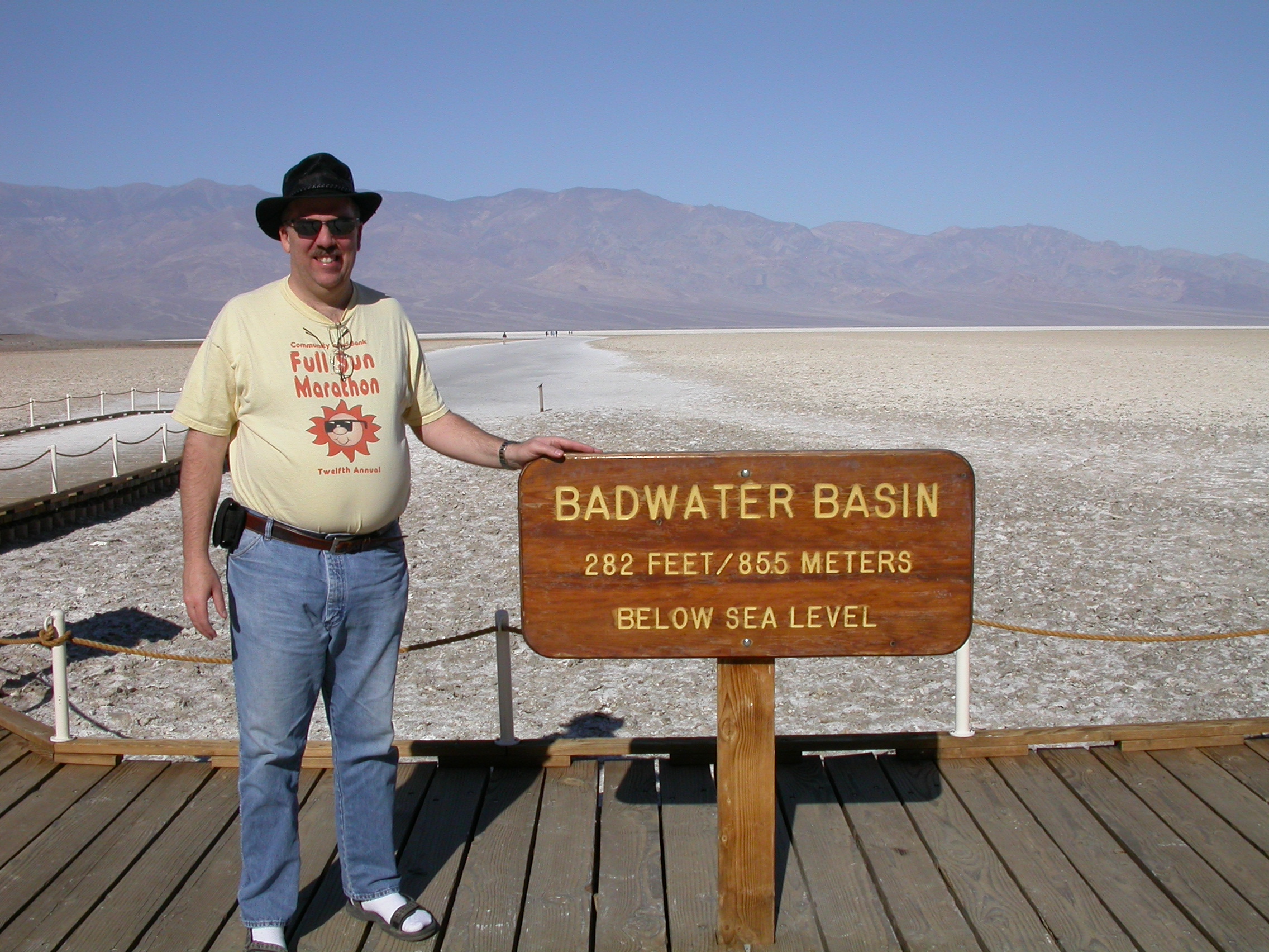
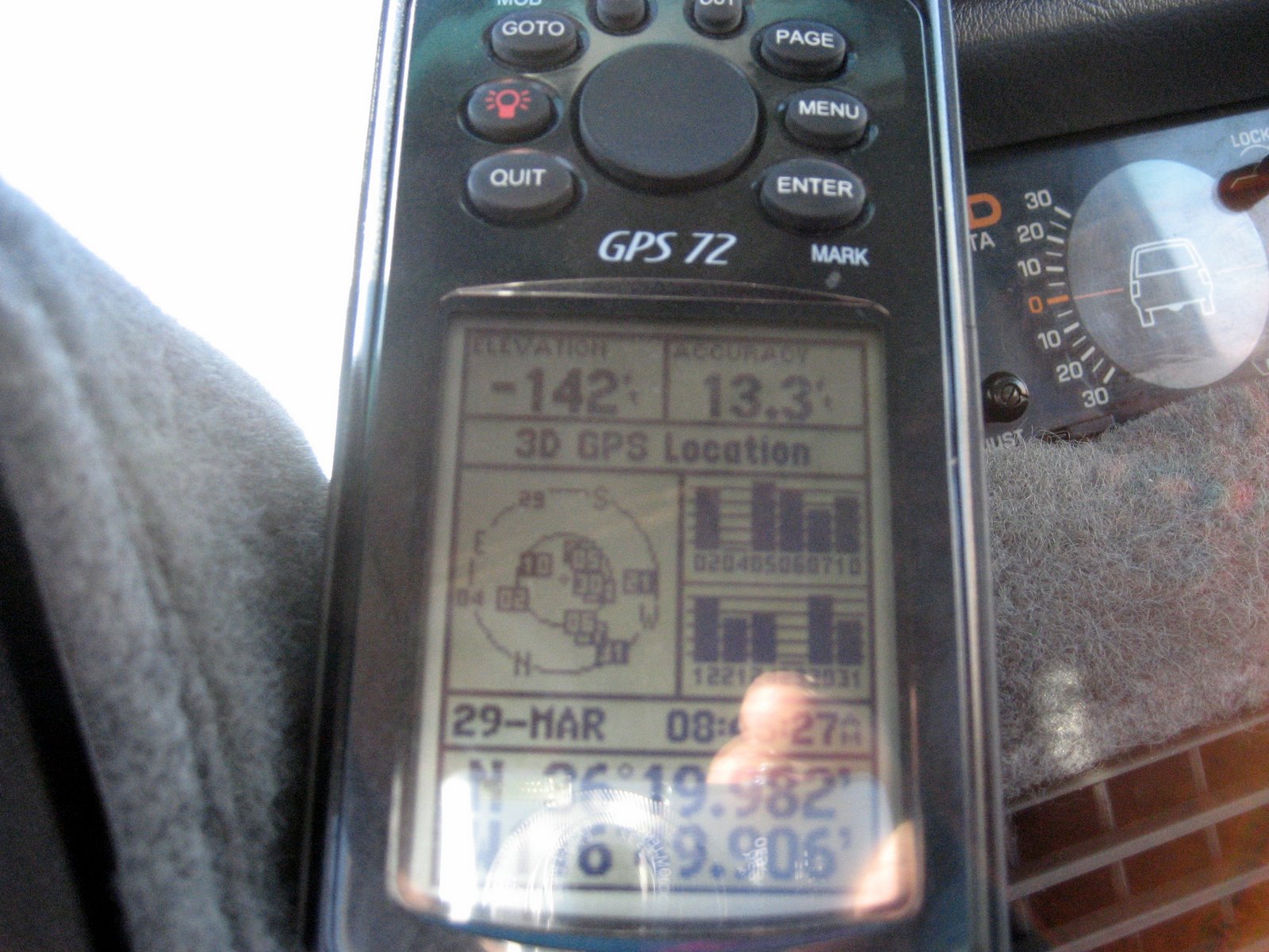
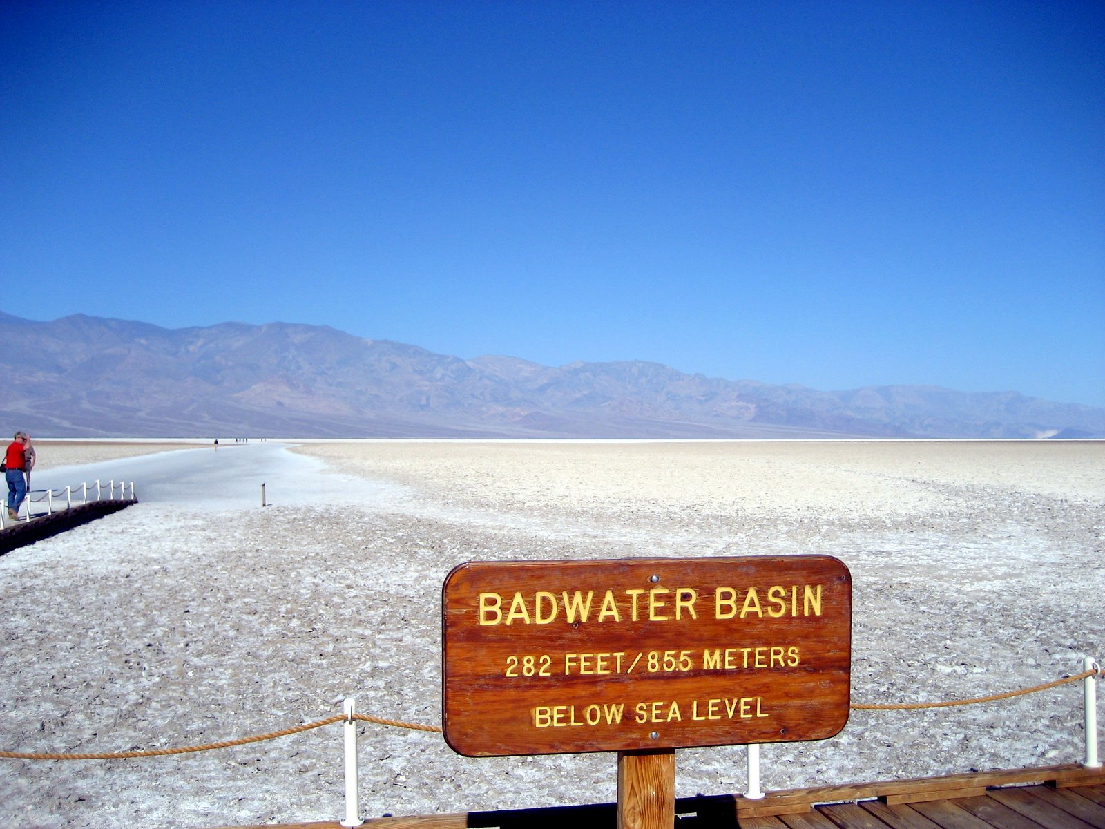
Badwater Basin at 282 feet below sea level.
.
.
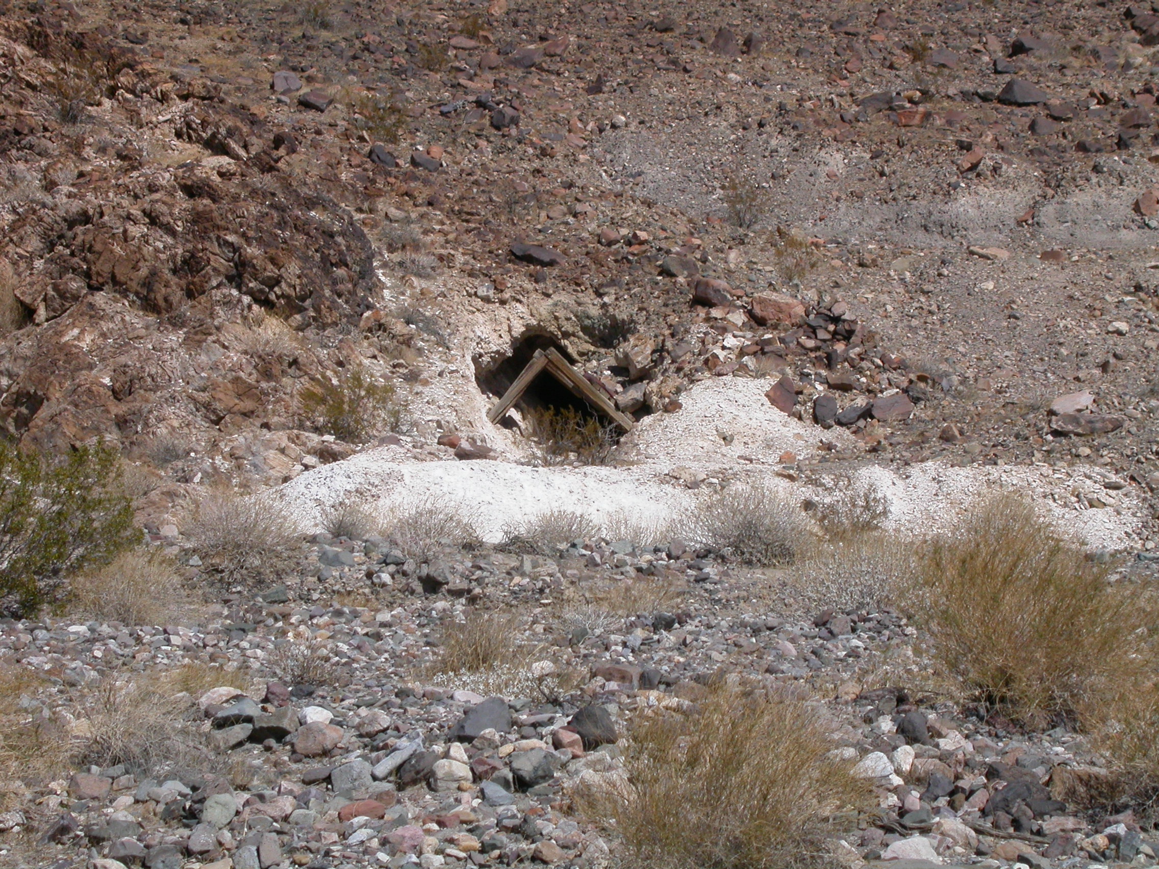
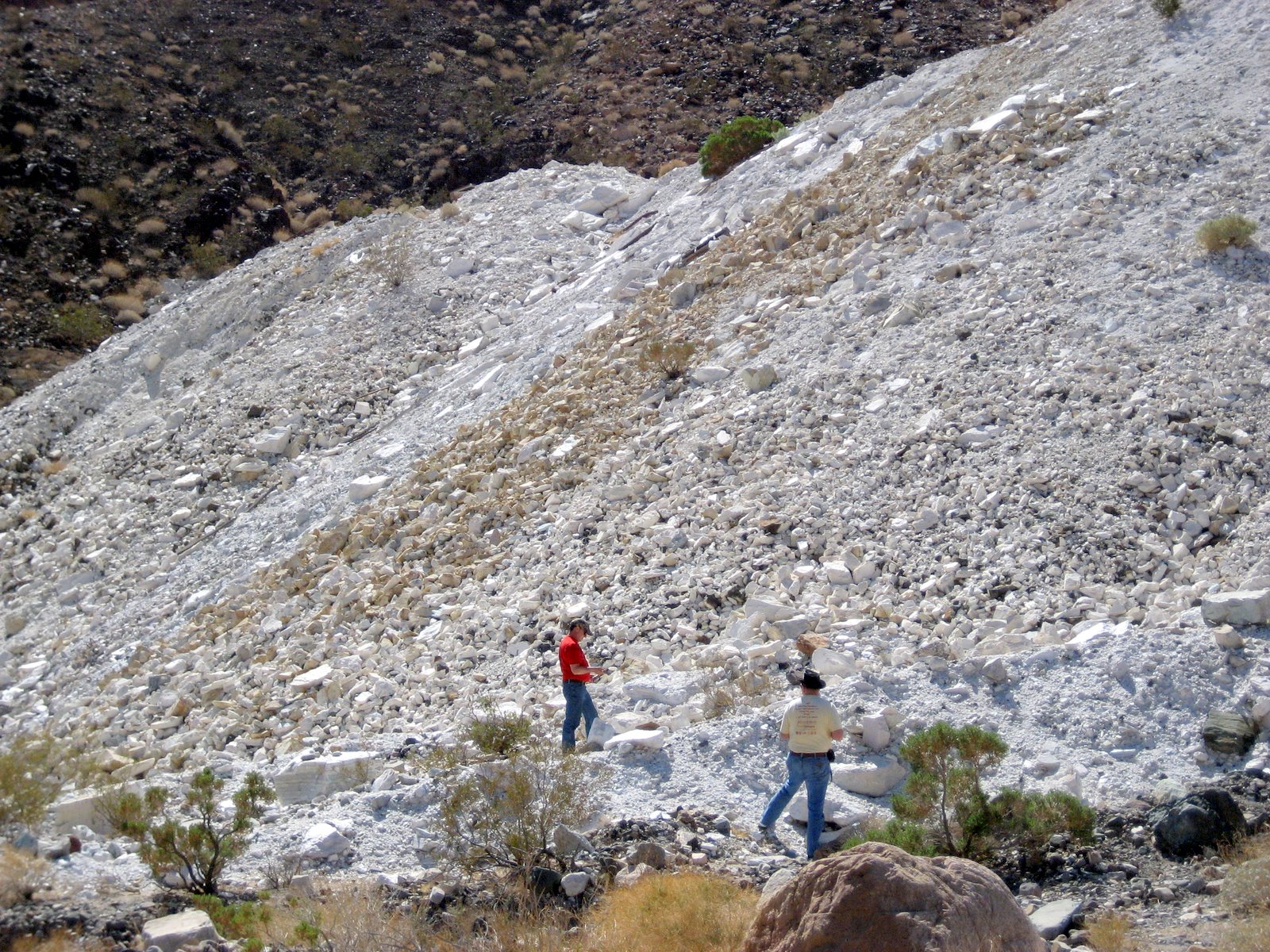
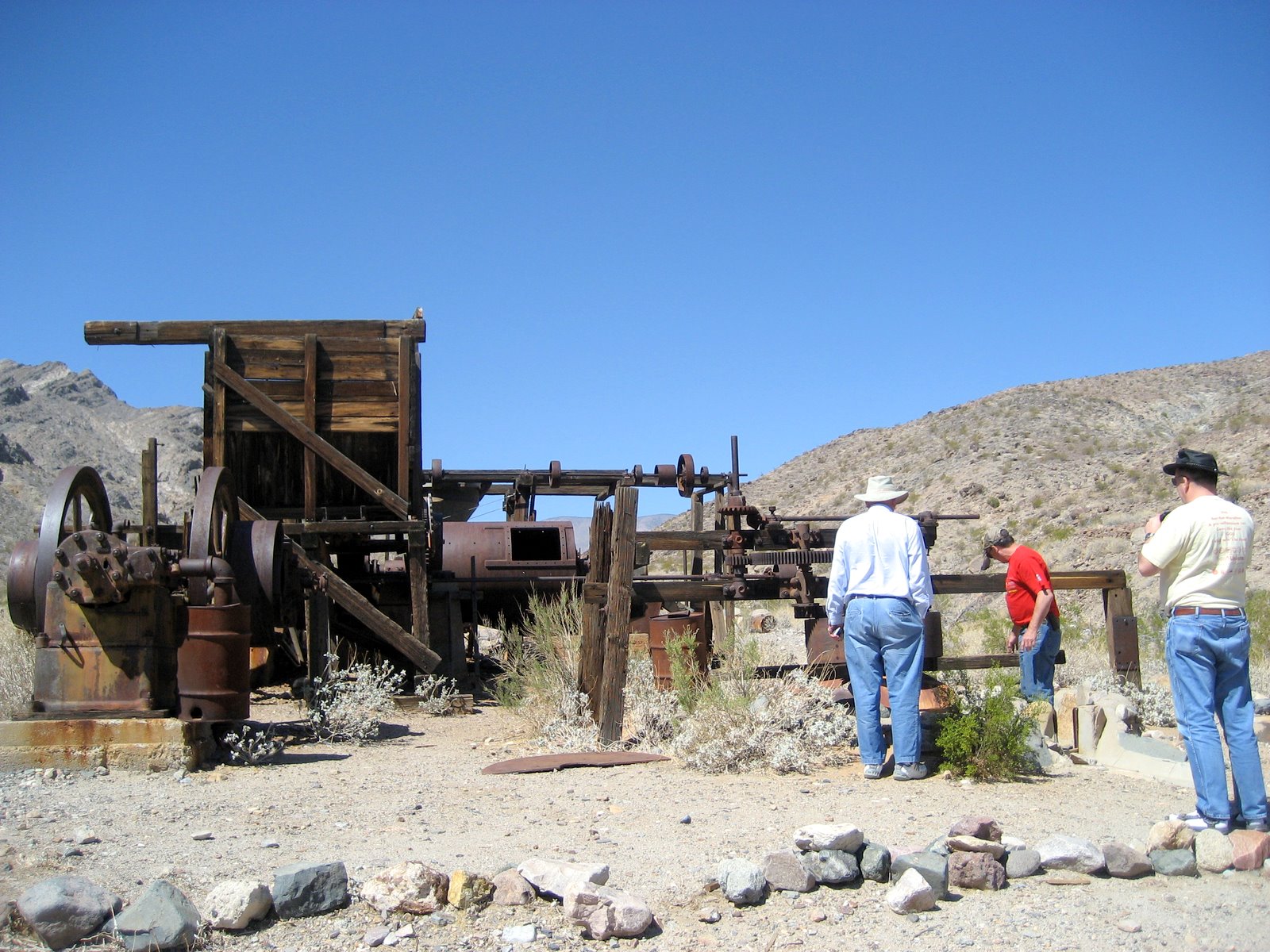
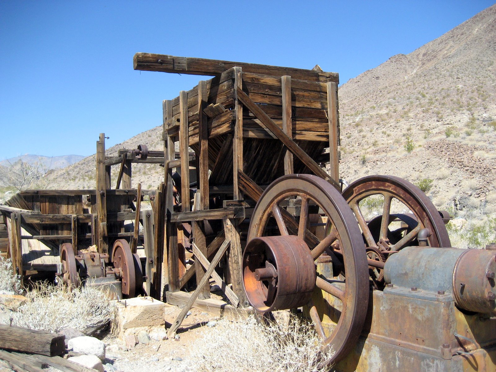
Talc mine along Warm Spring Road.
.
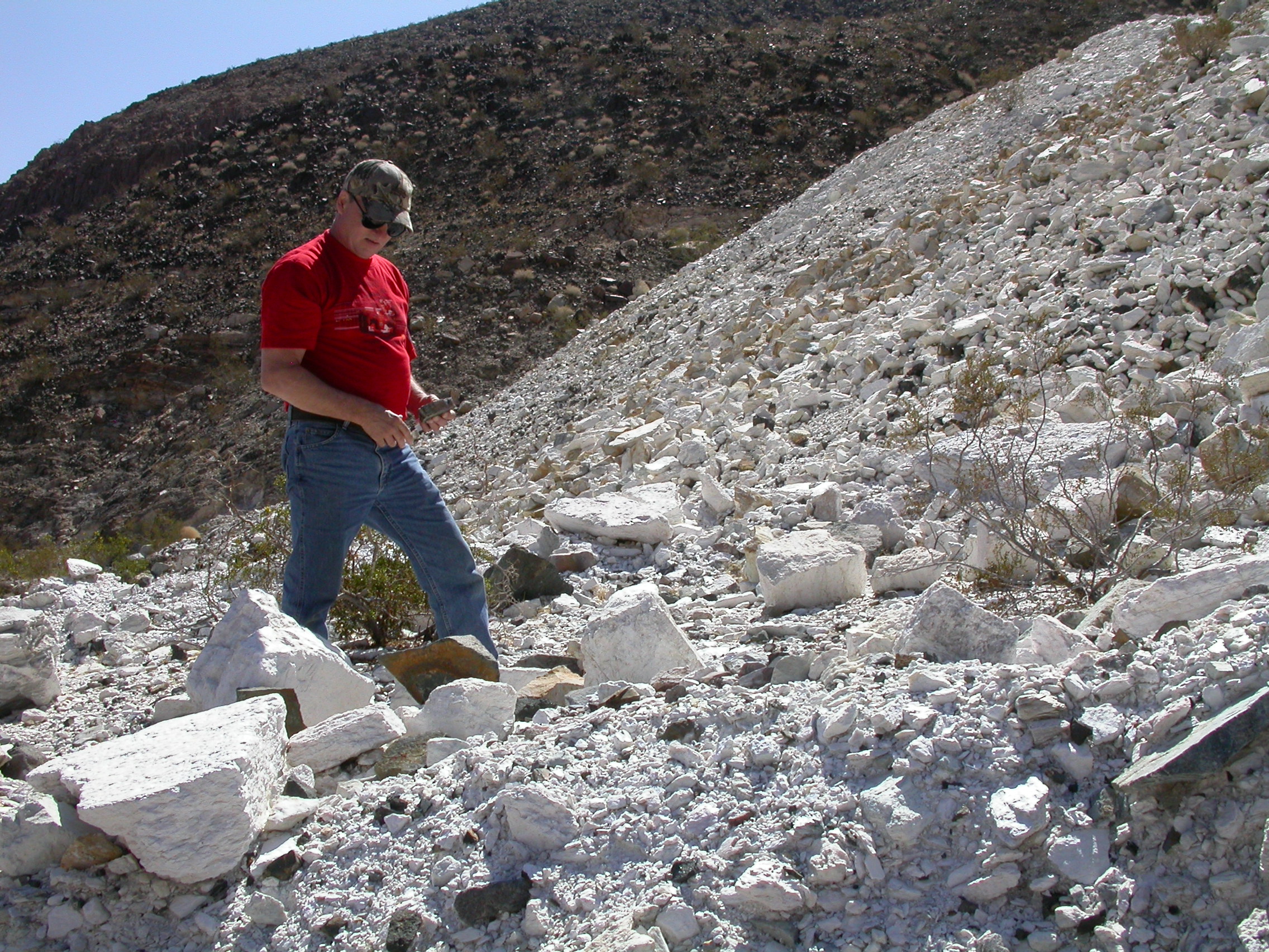
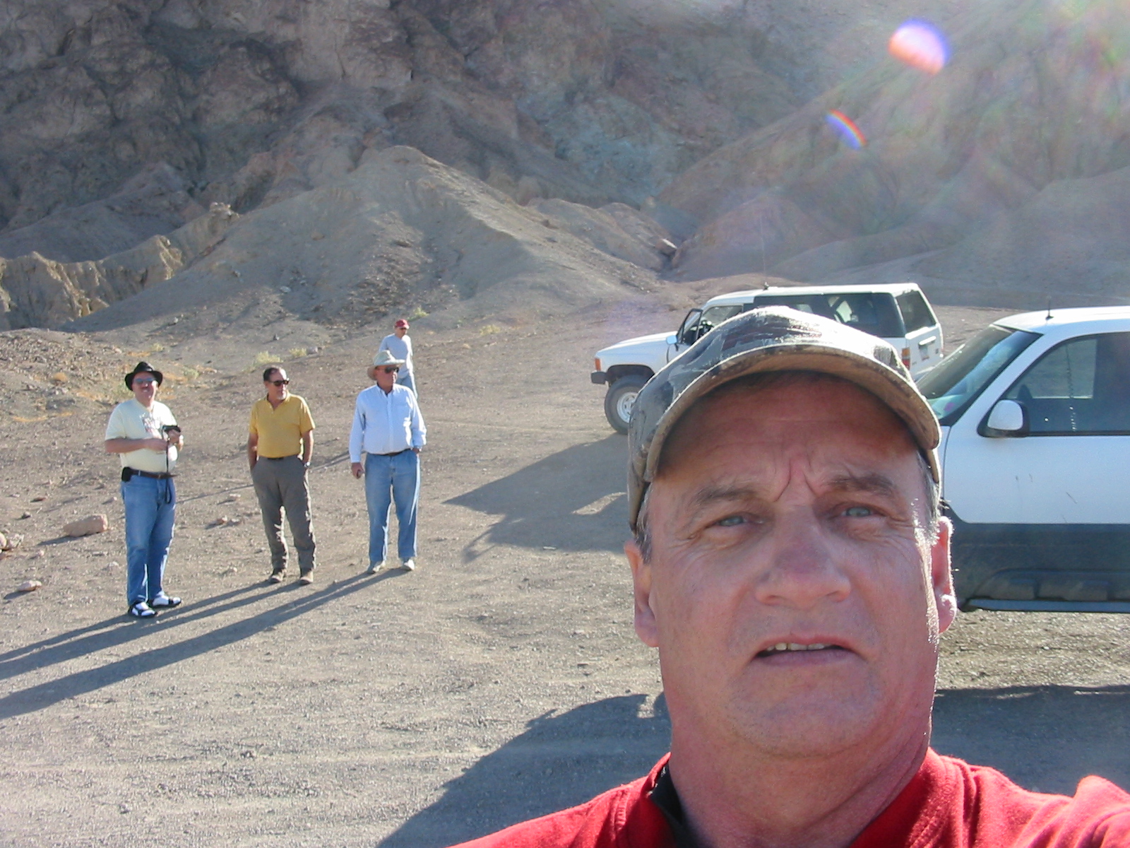
Checking out the talc mine tailings.
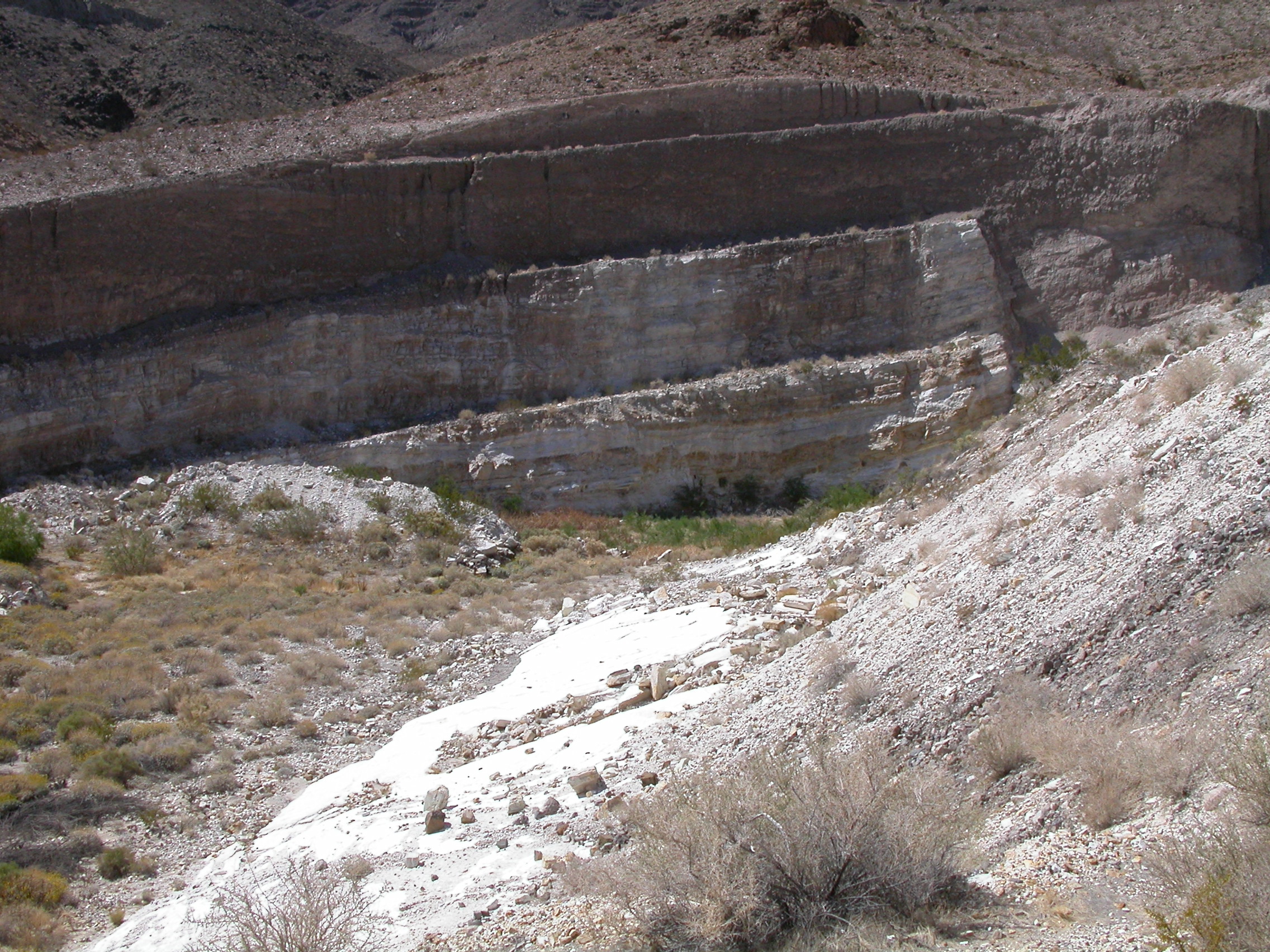
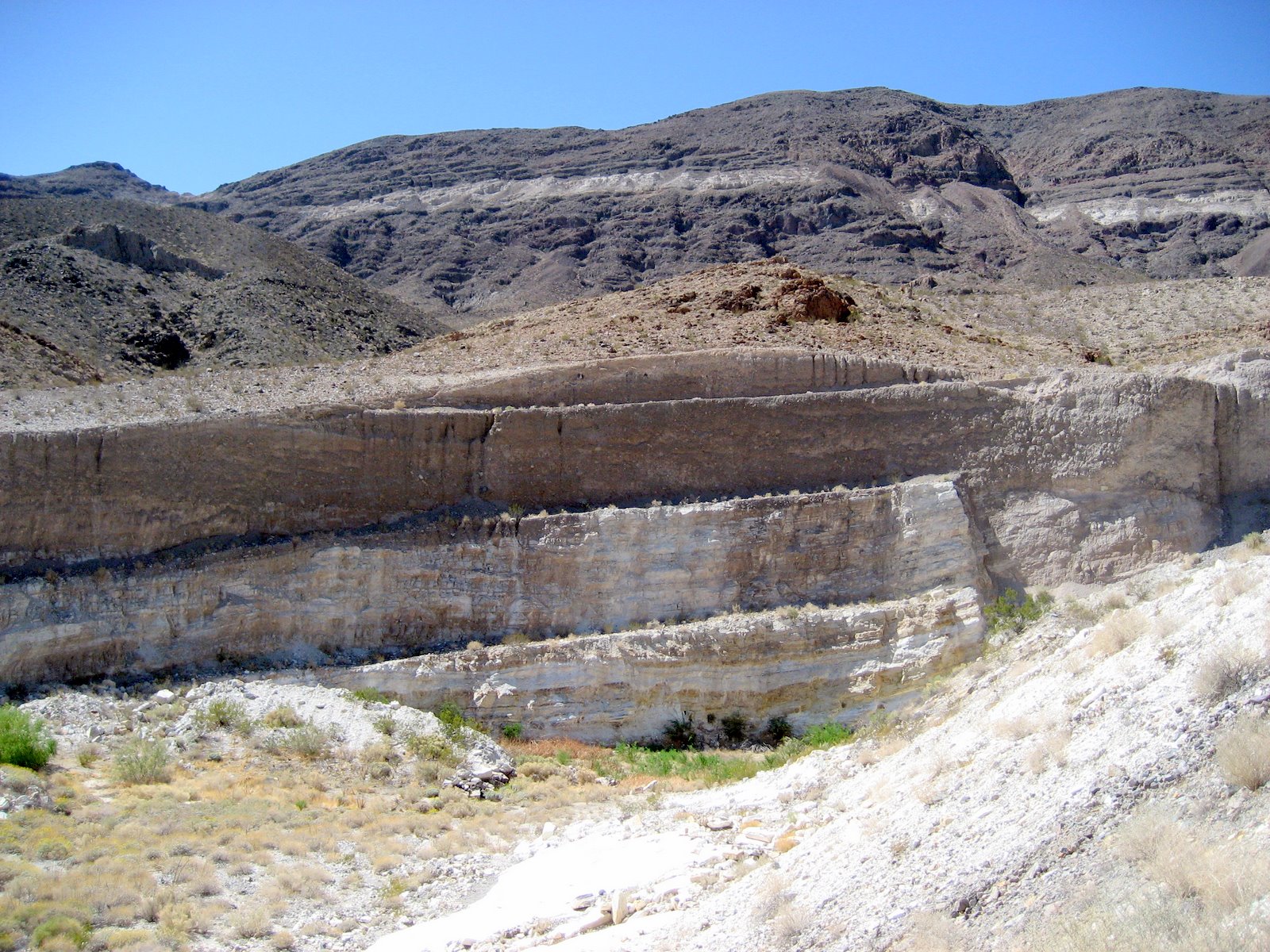
Open pit talc mine near Warm Spring.
.
.
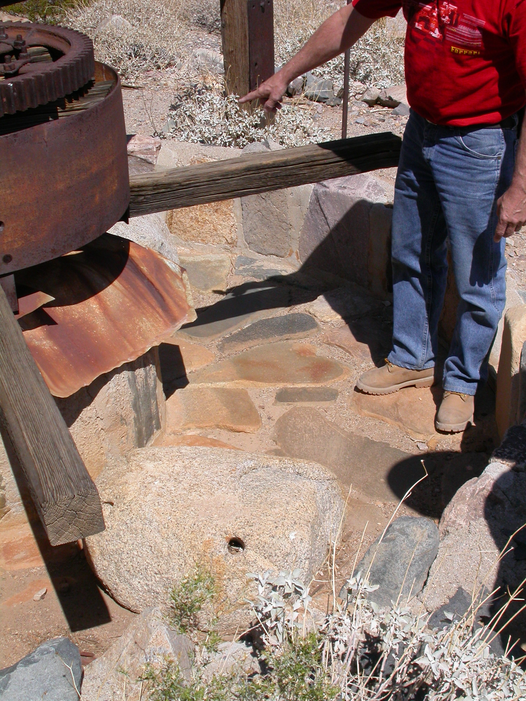
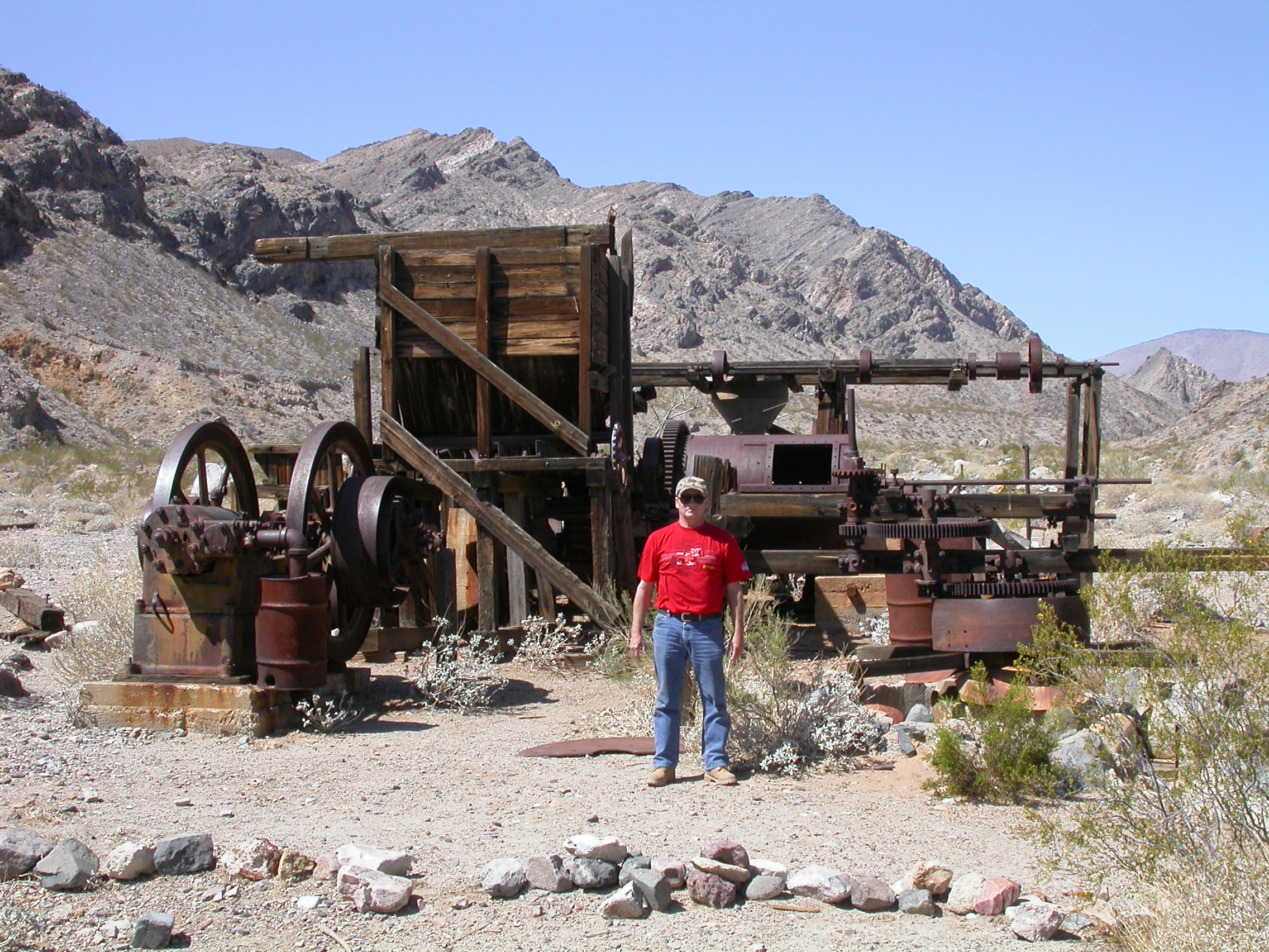
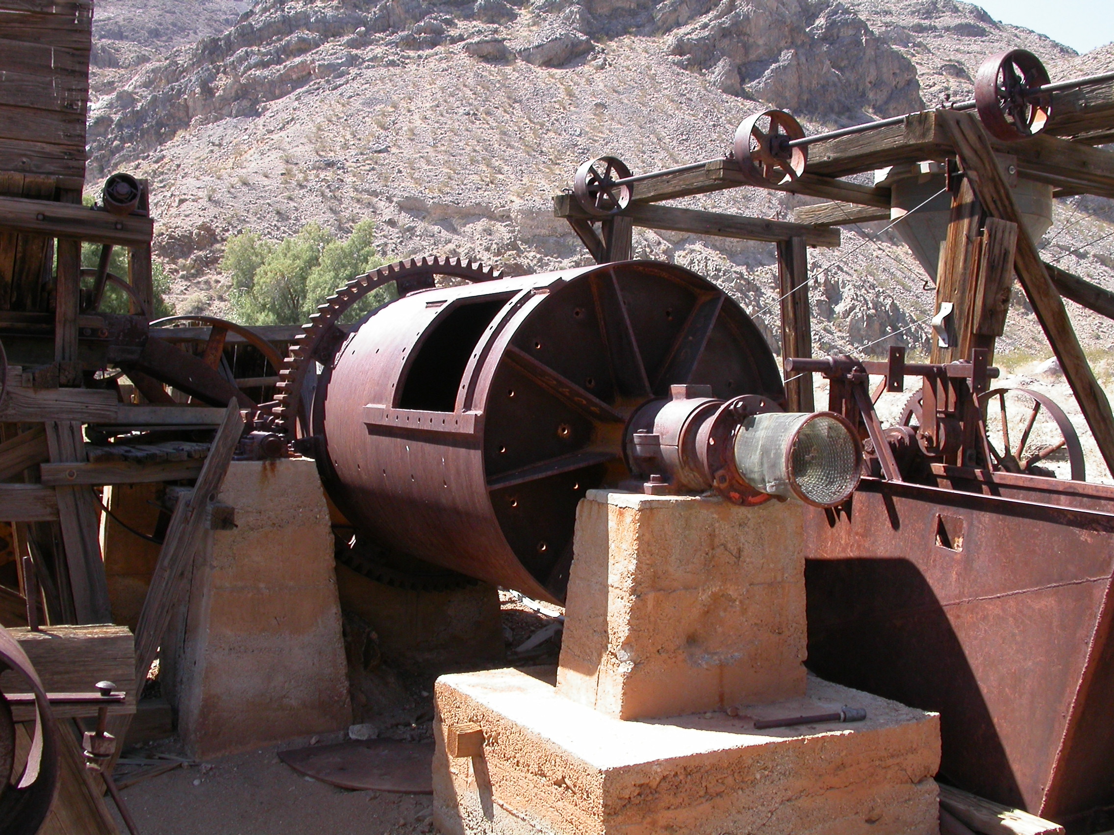
Arrastra at Warm Spring for working the ore from Gold Hill Mine.
.
.
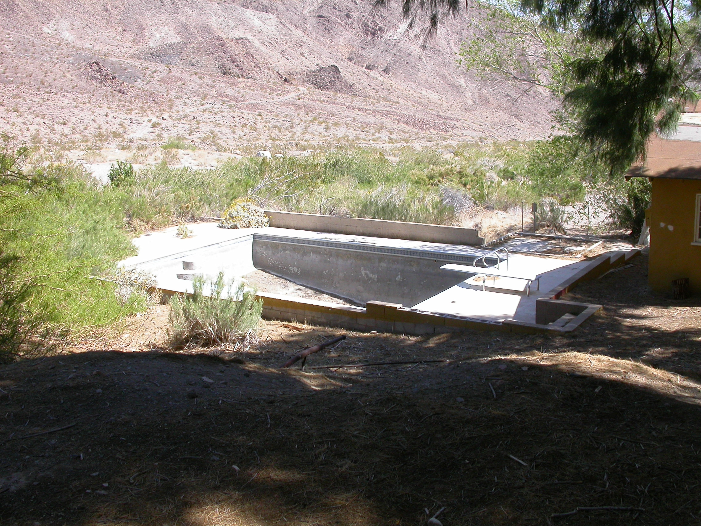
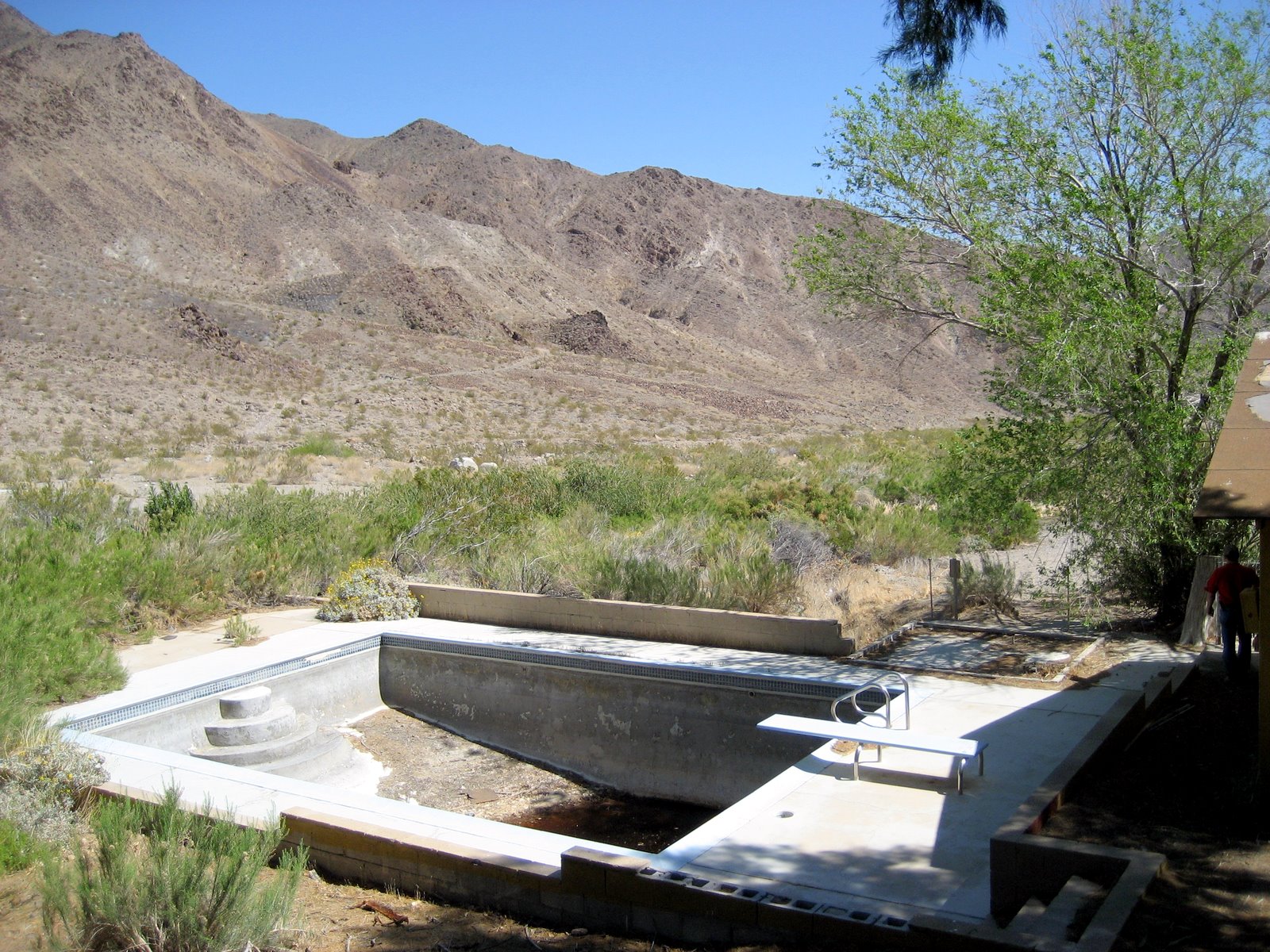
Swimming pool at Warm Spring.
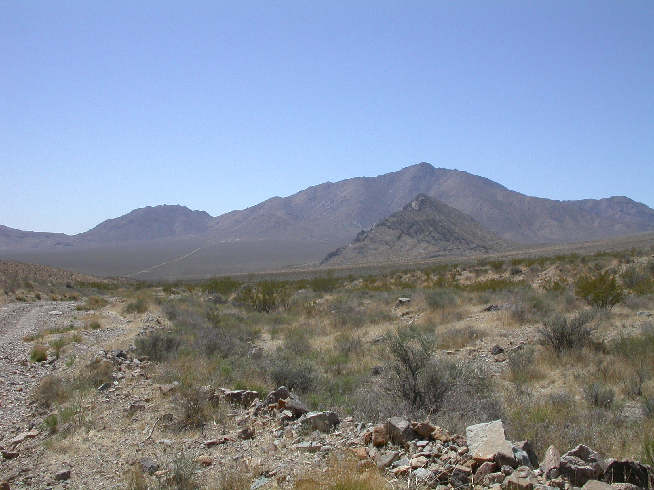
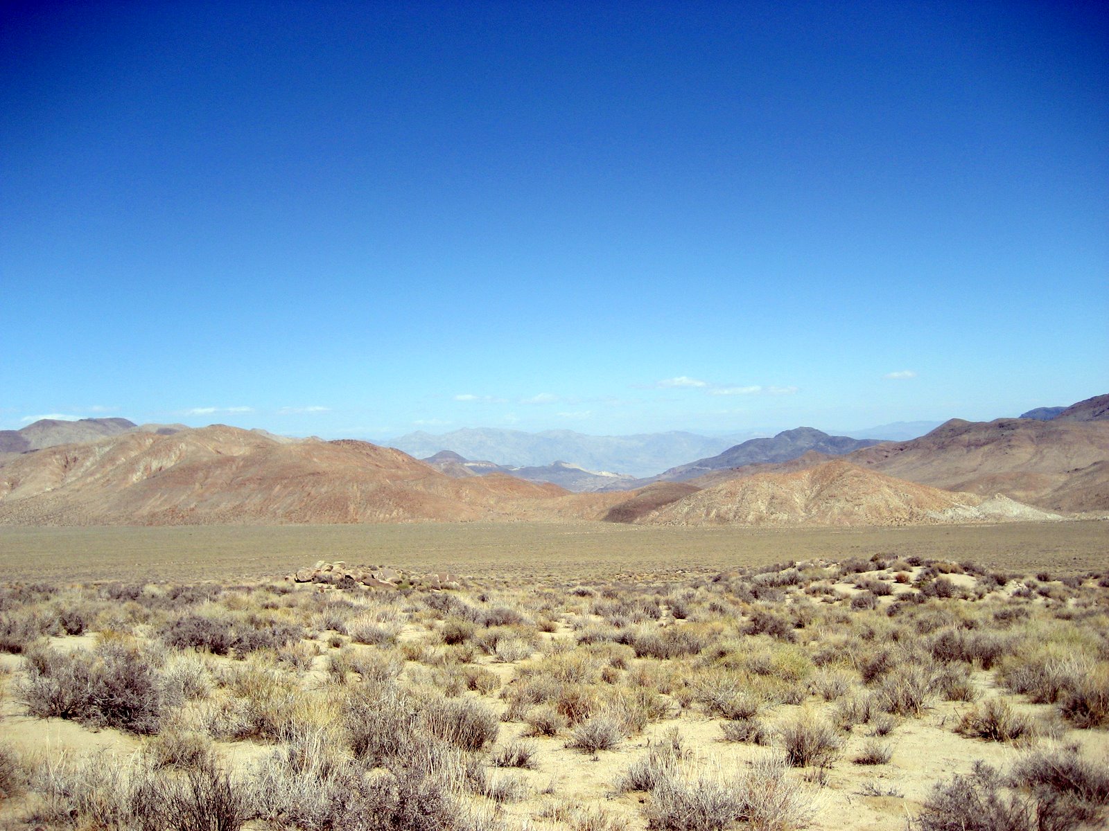
Striped Butte as seen from Butte Valley.
.
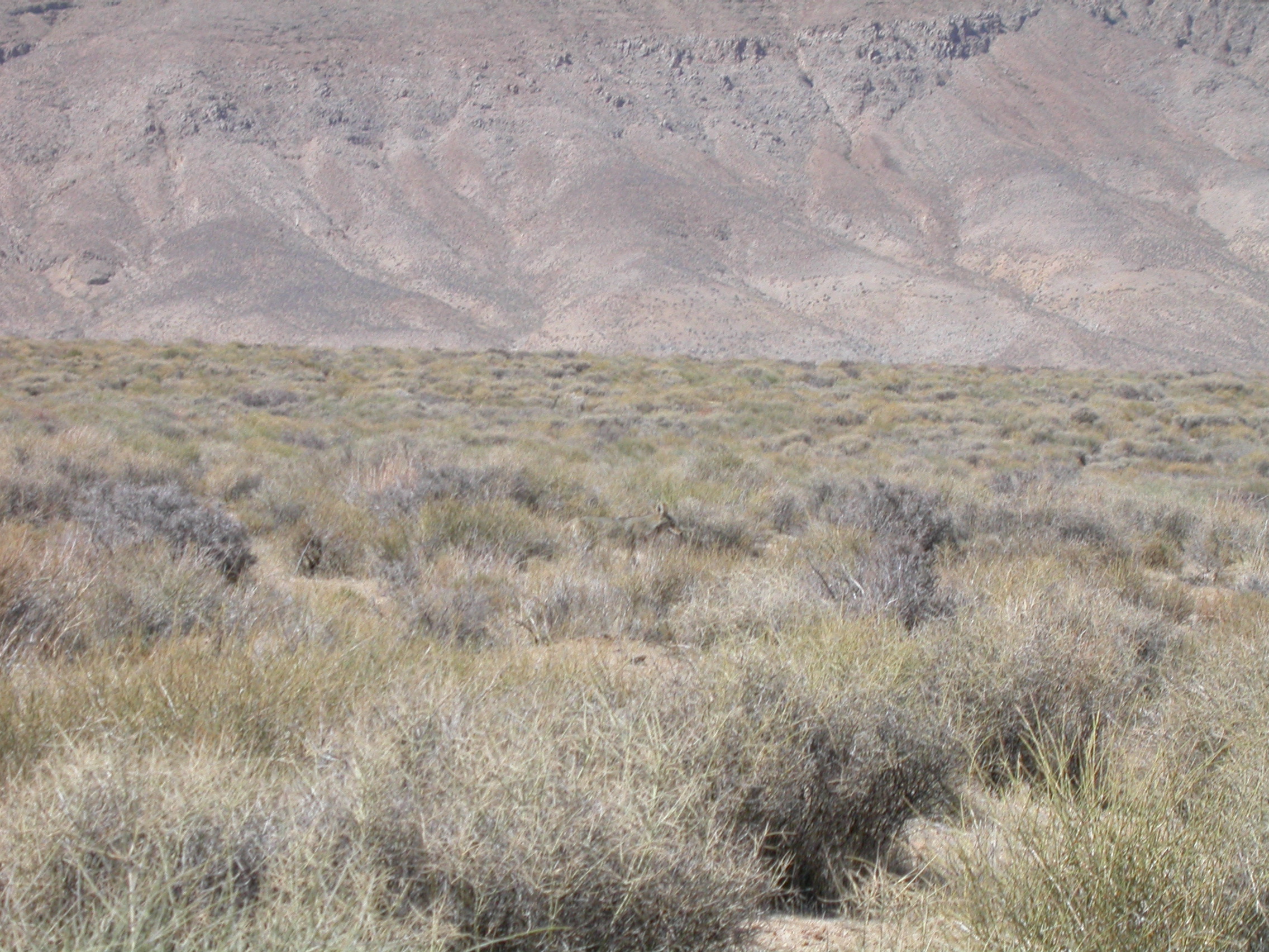
Coyote.
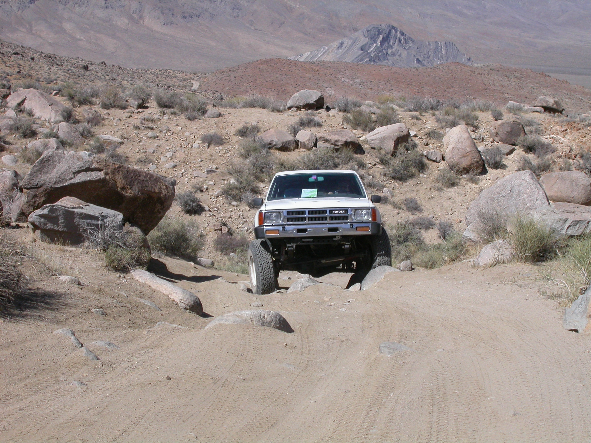
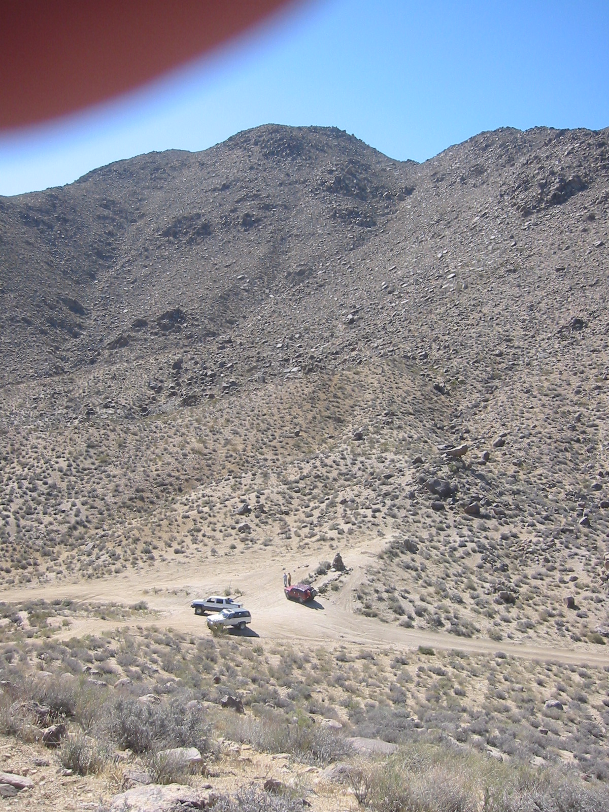
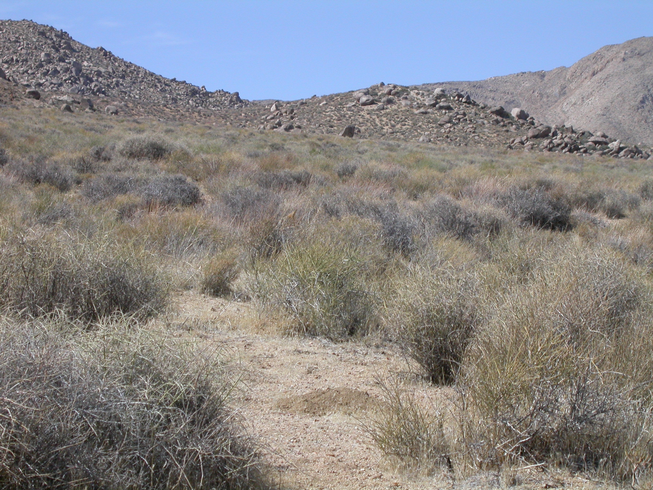
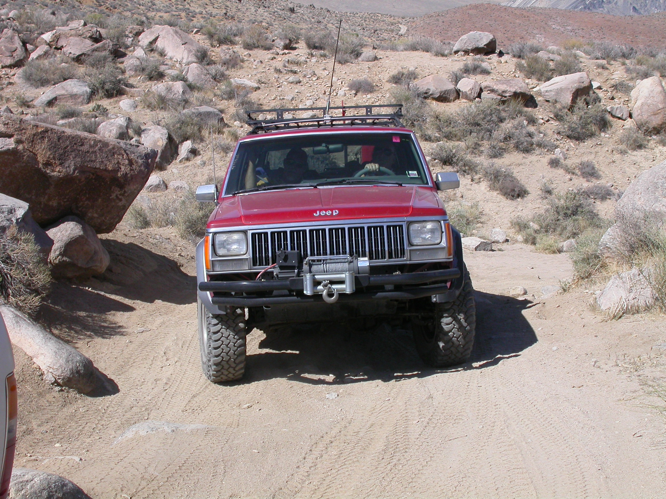
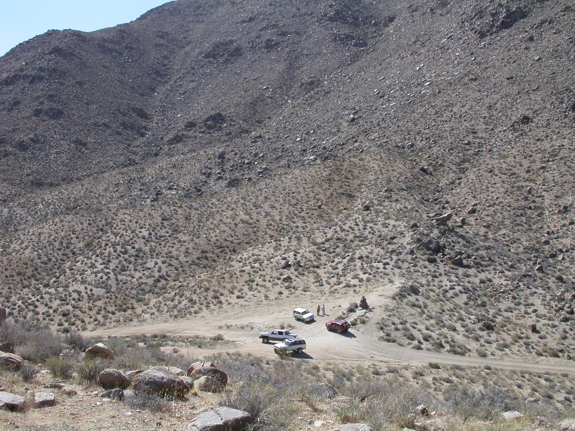
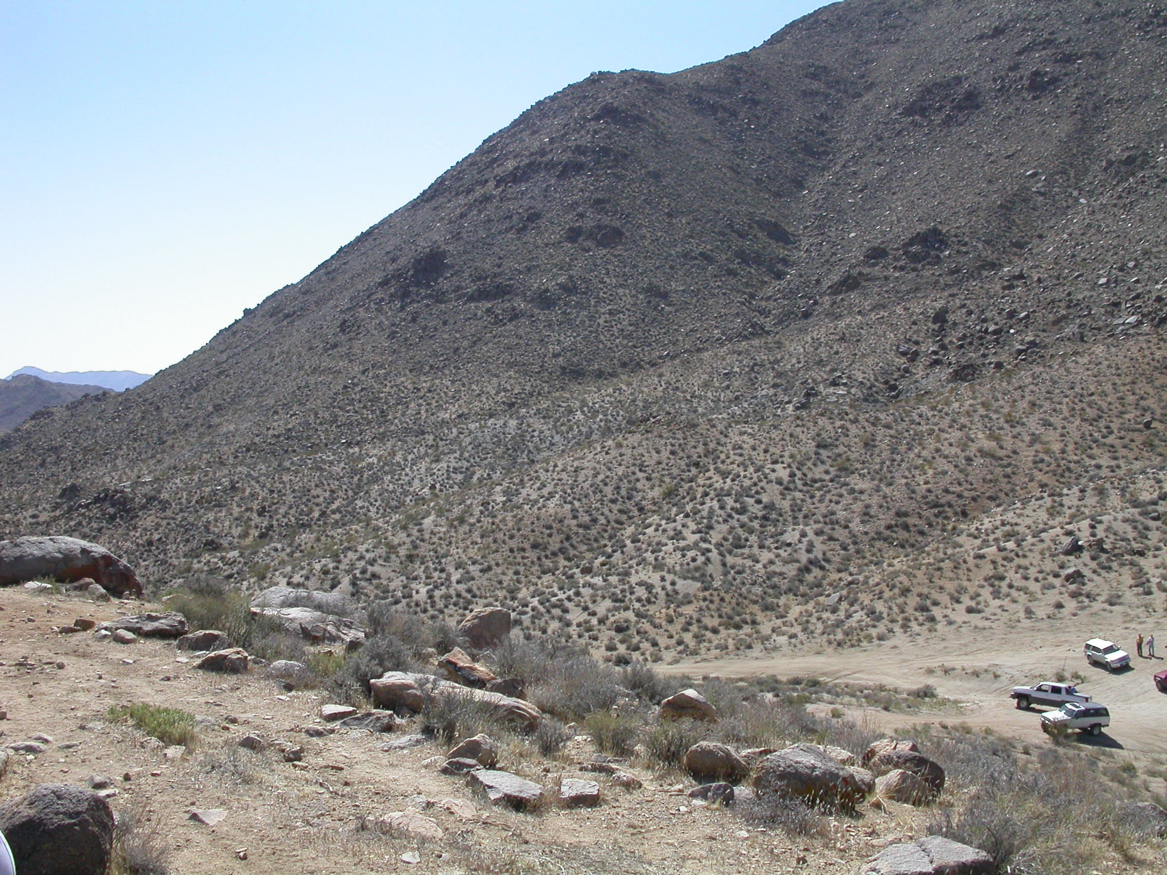
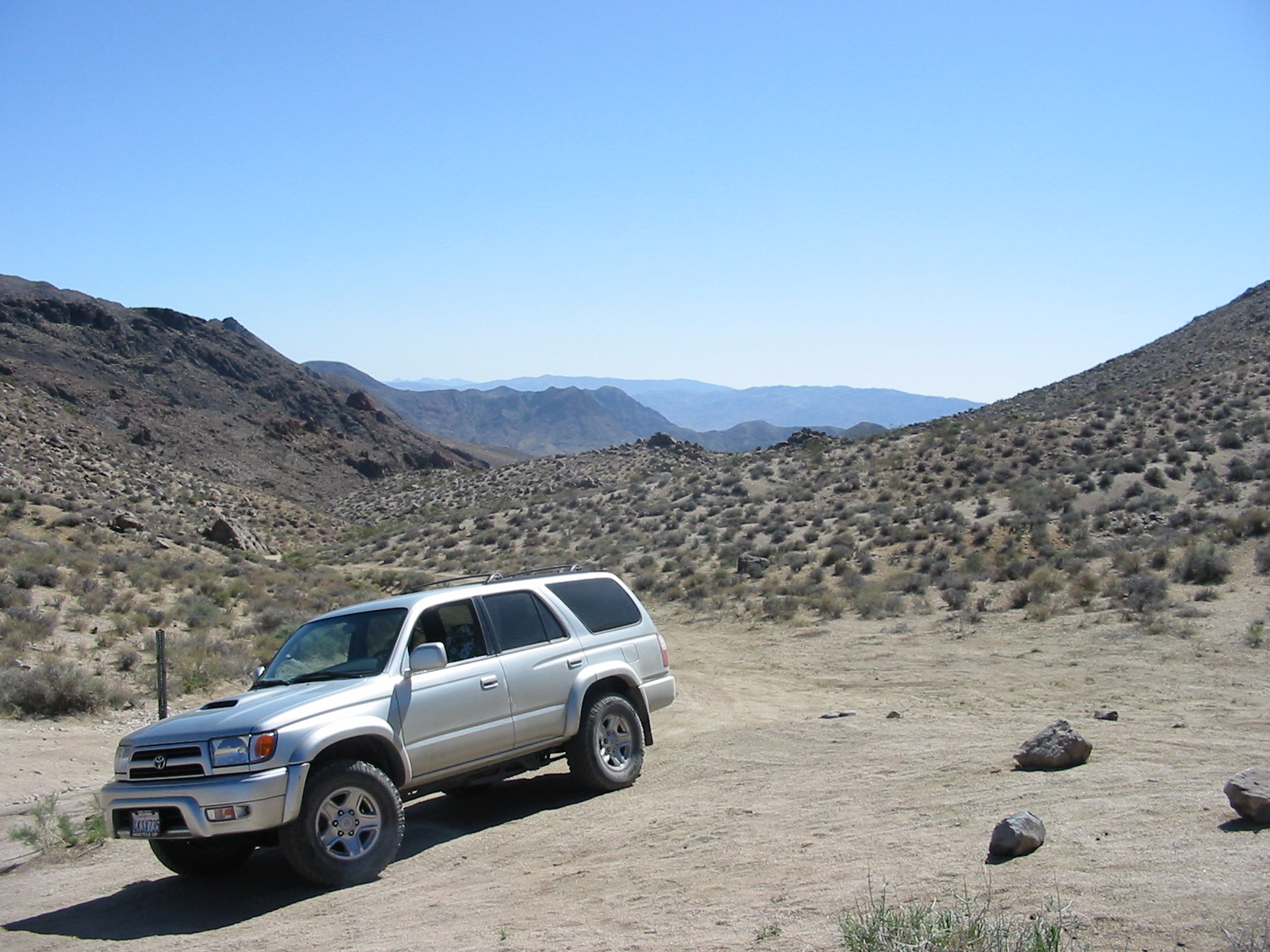
Obstacles on the trail climbing up Mengel Pass.
.

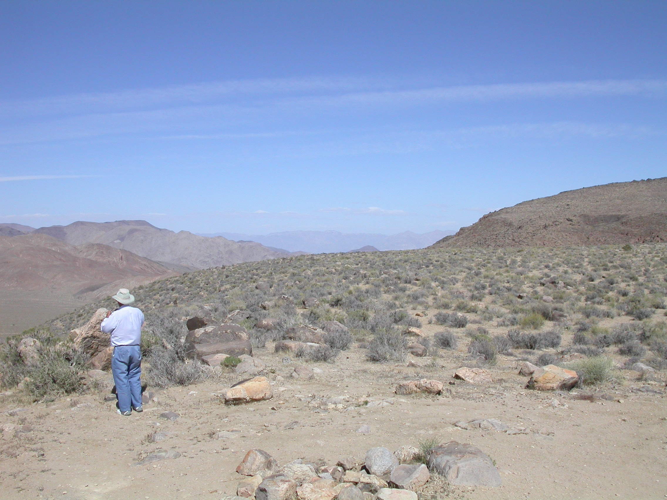
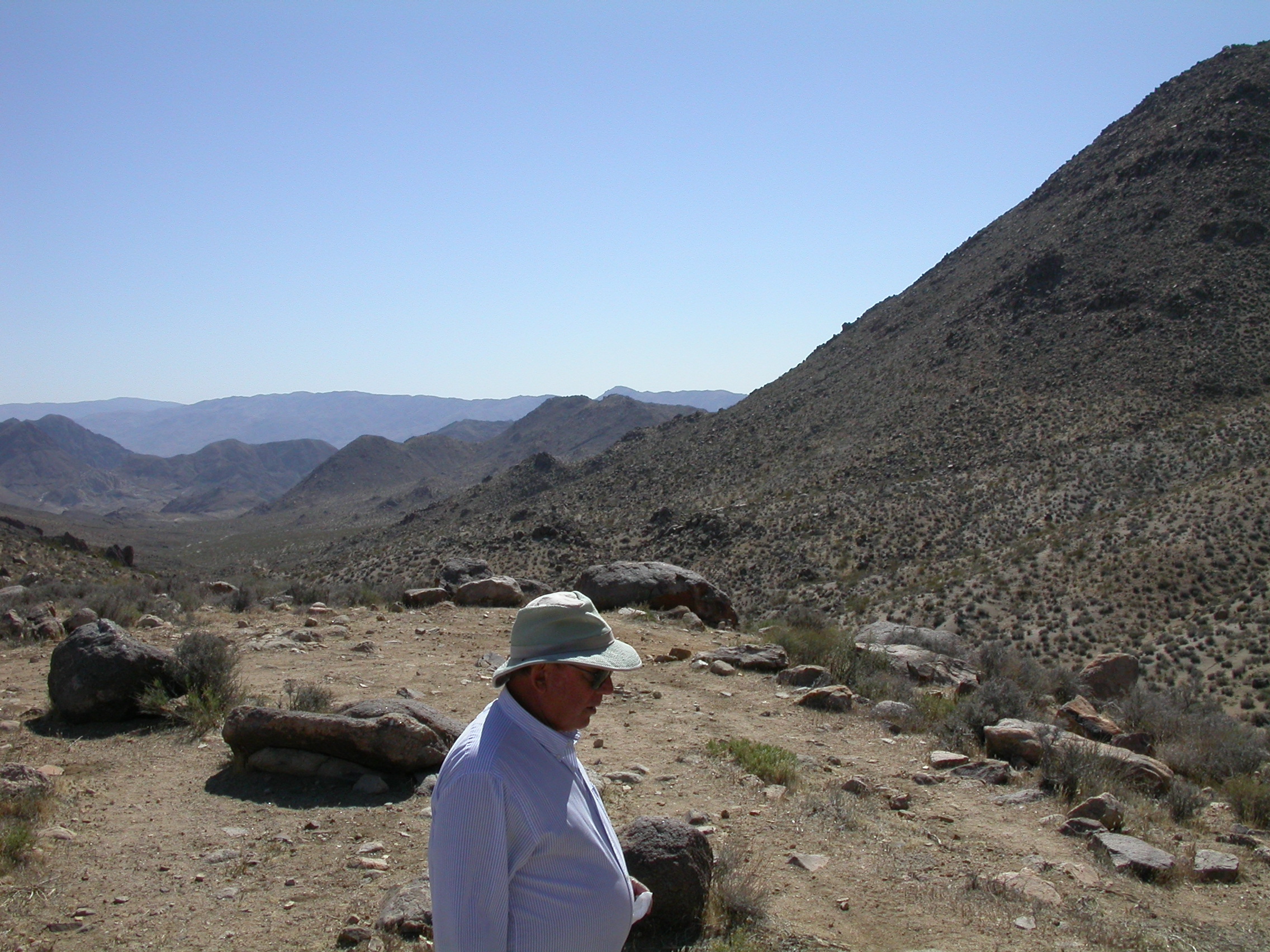
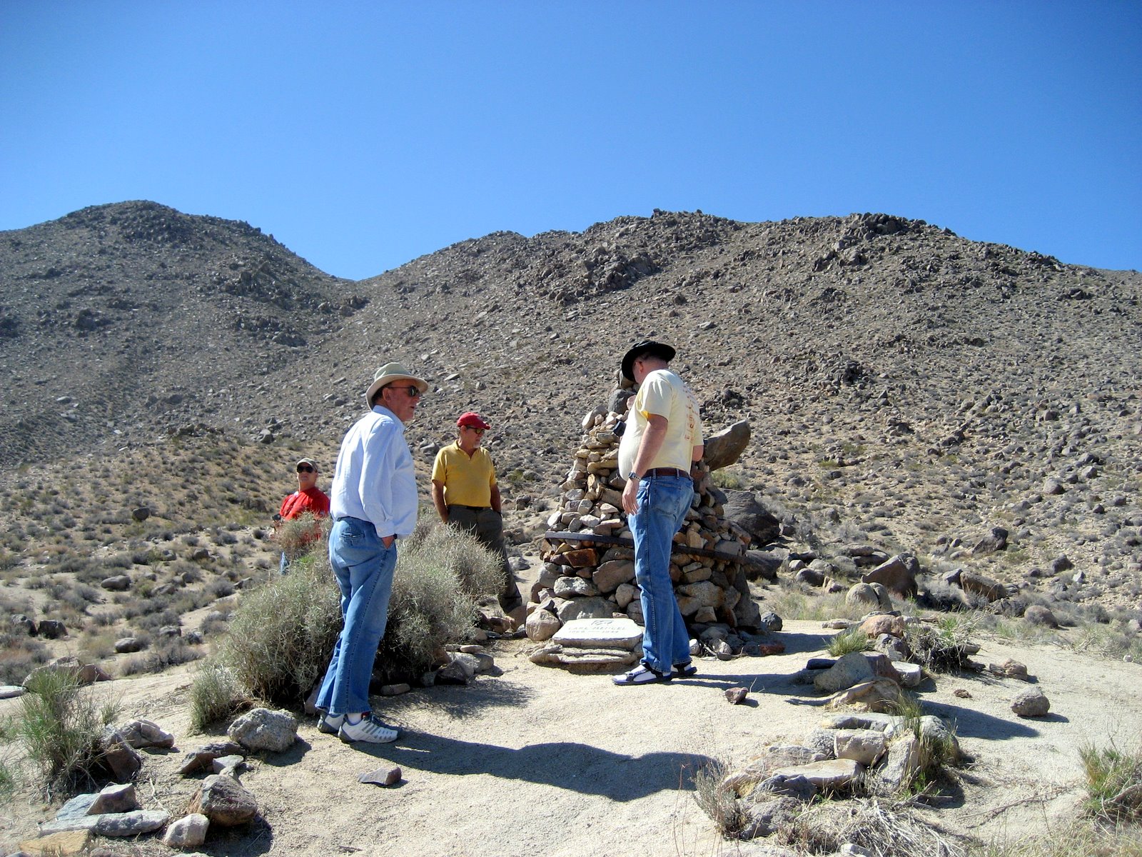
Top of Mengel Pass.
.
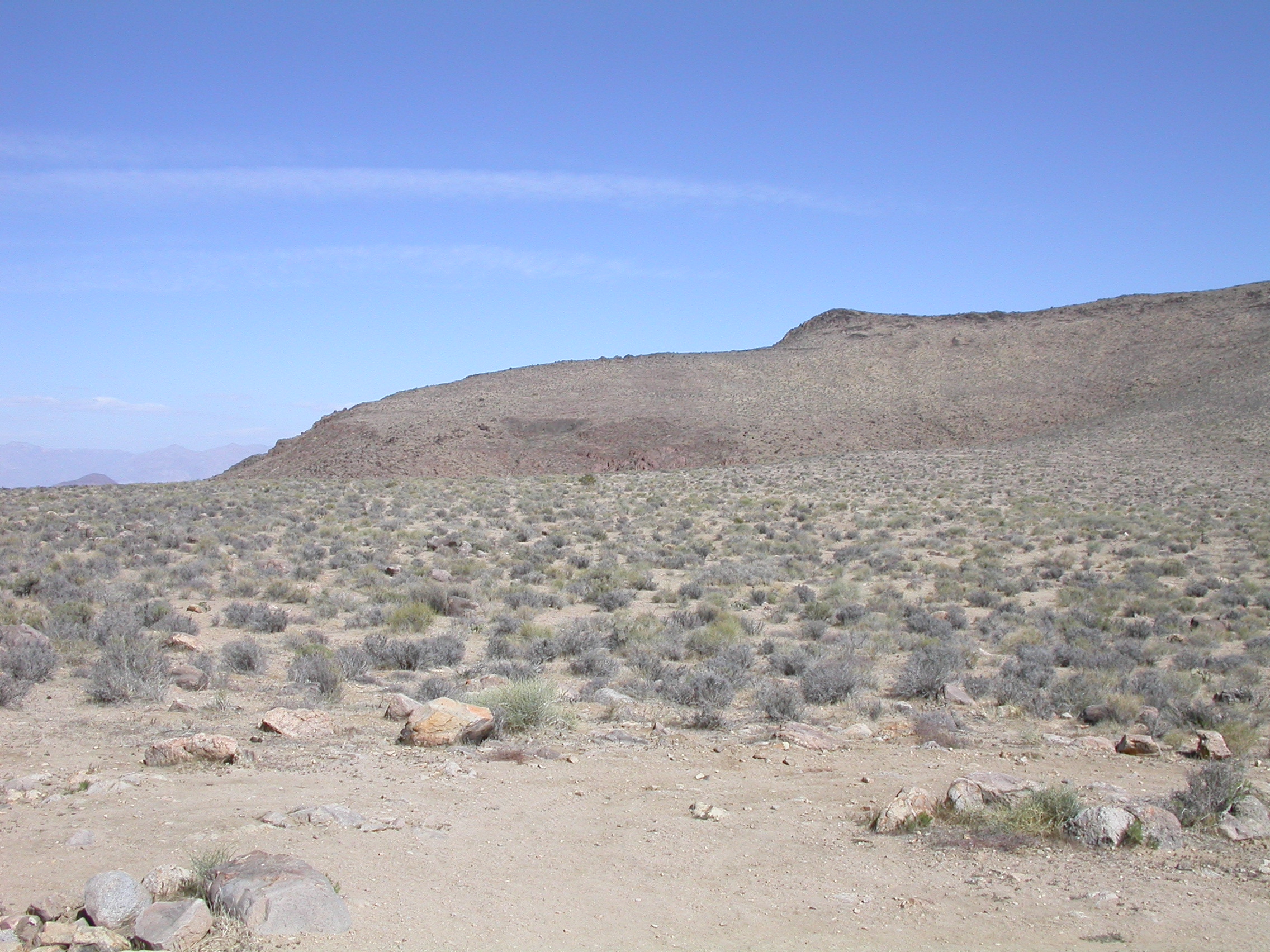
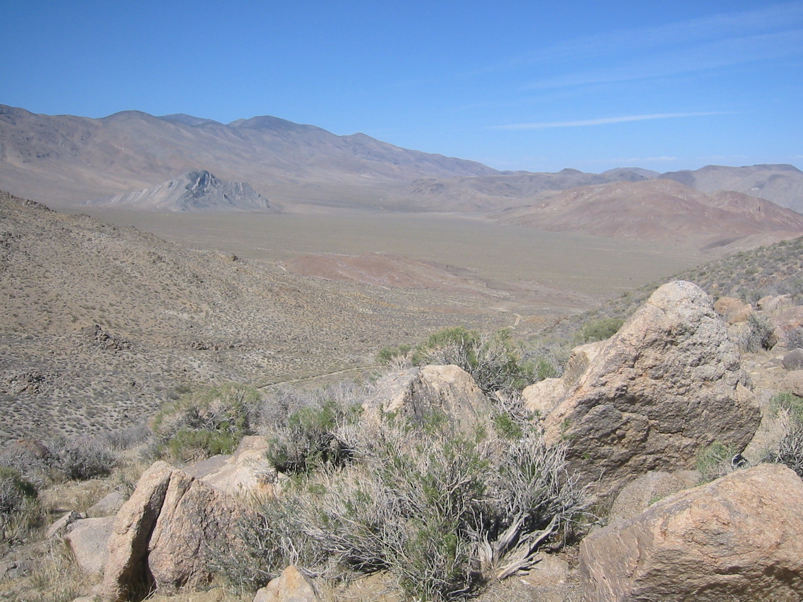
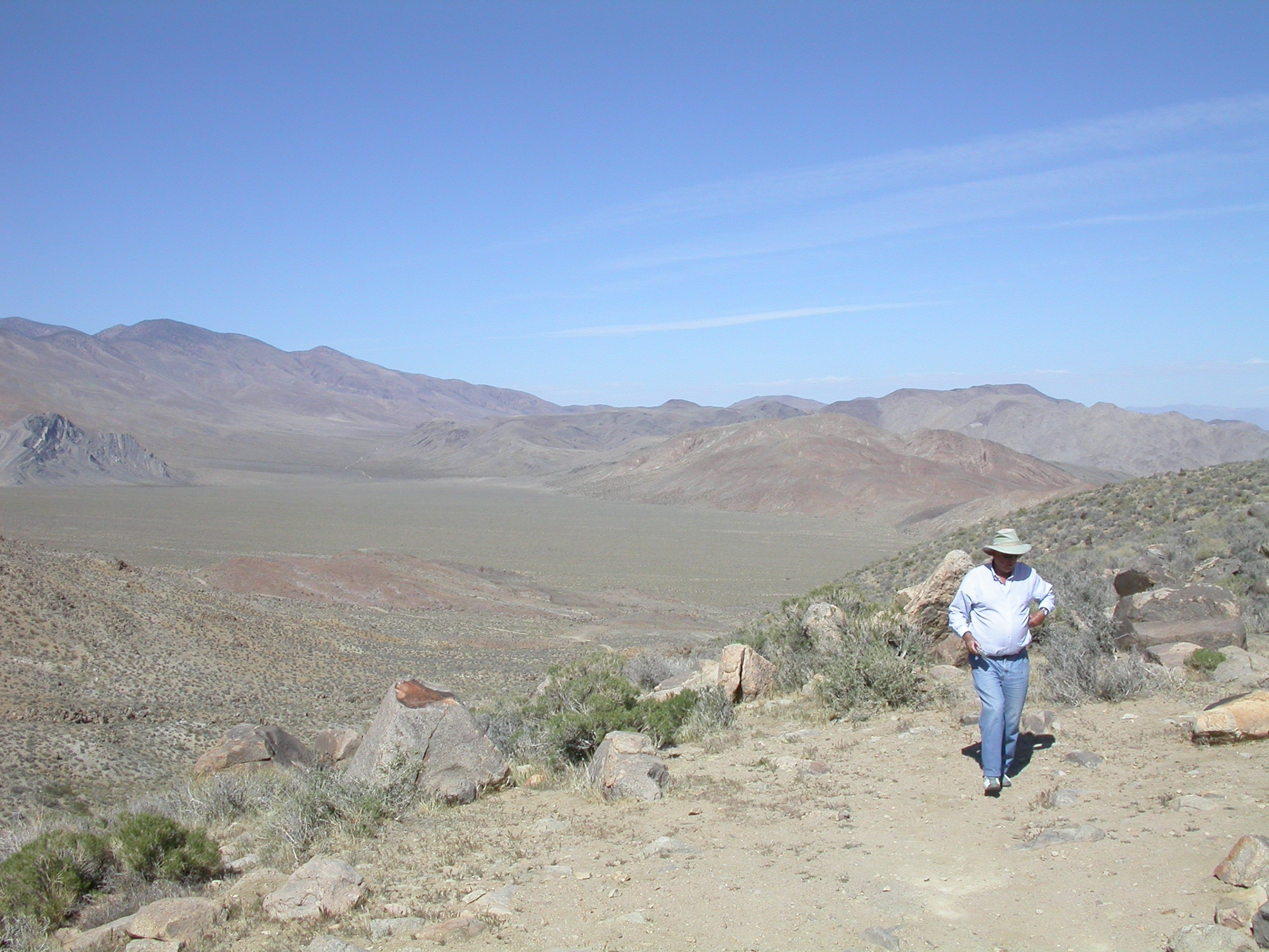
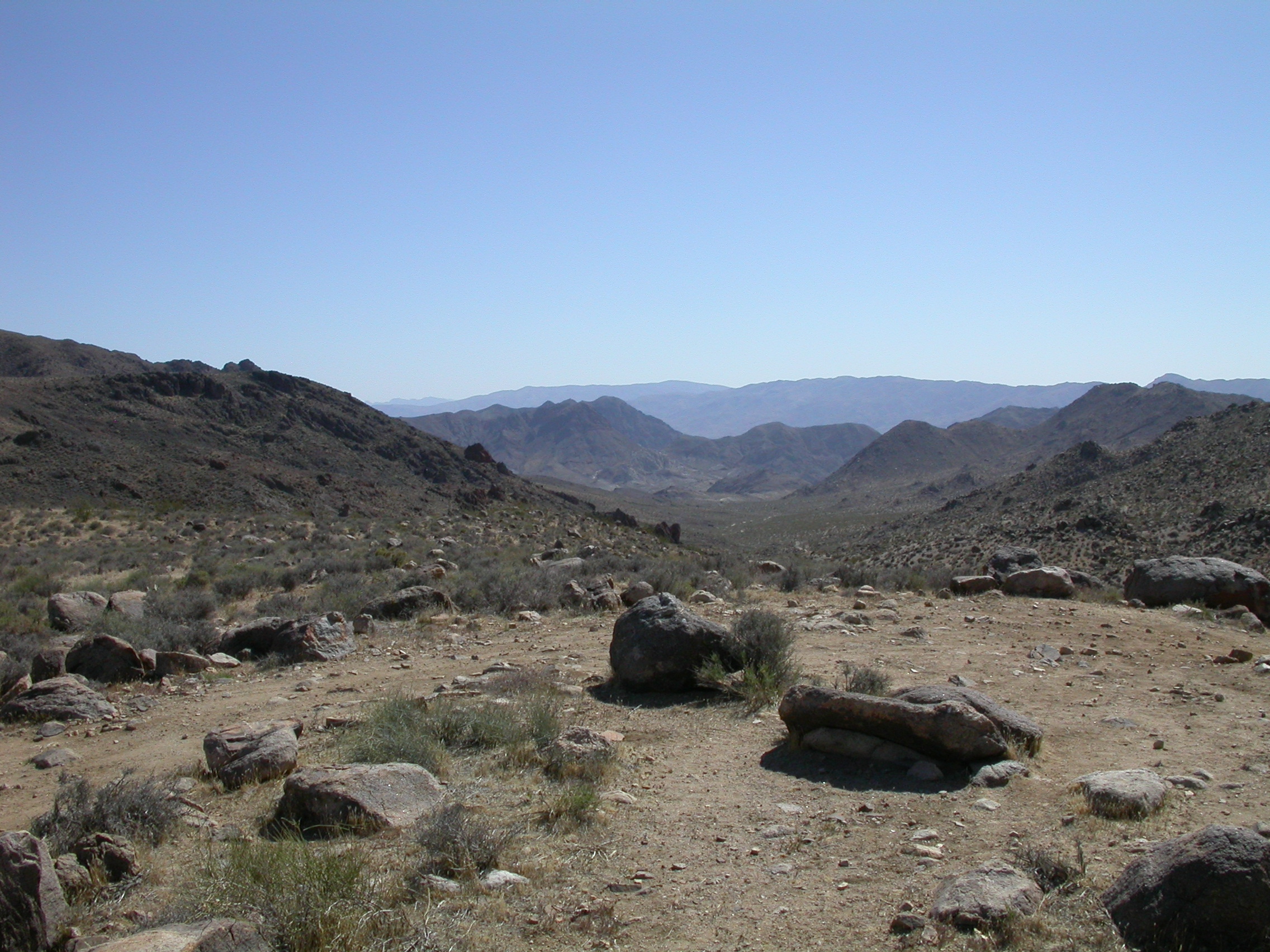
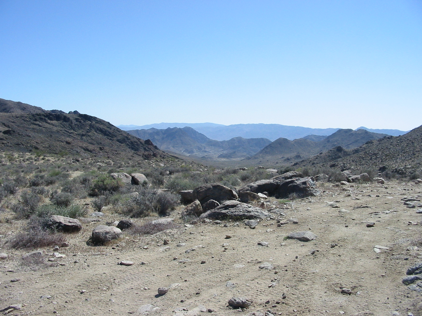
Panorama from the top of Mengel Pass.
.
.
.
.
.
.
.
.
.
.
.
.
.
.
.
.
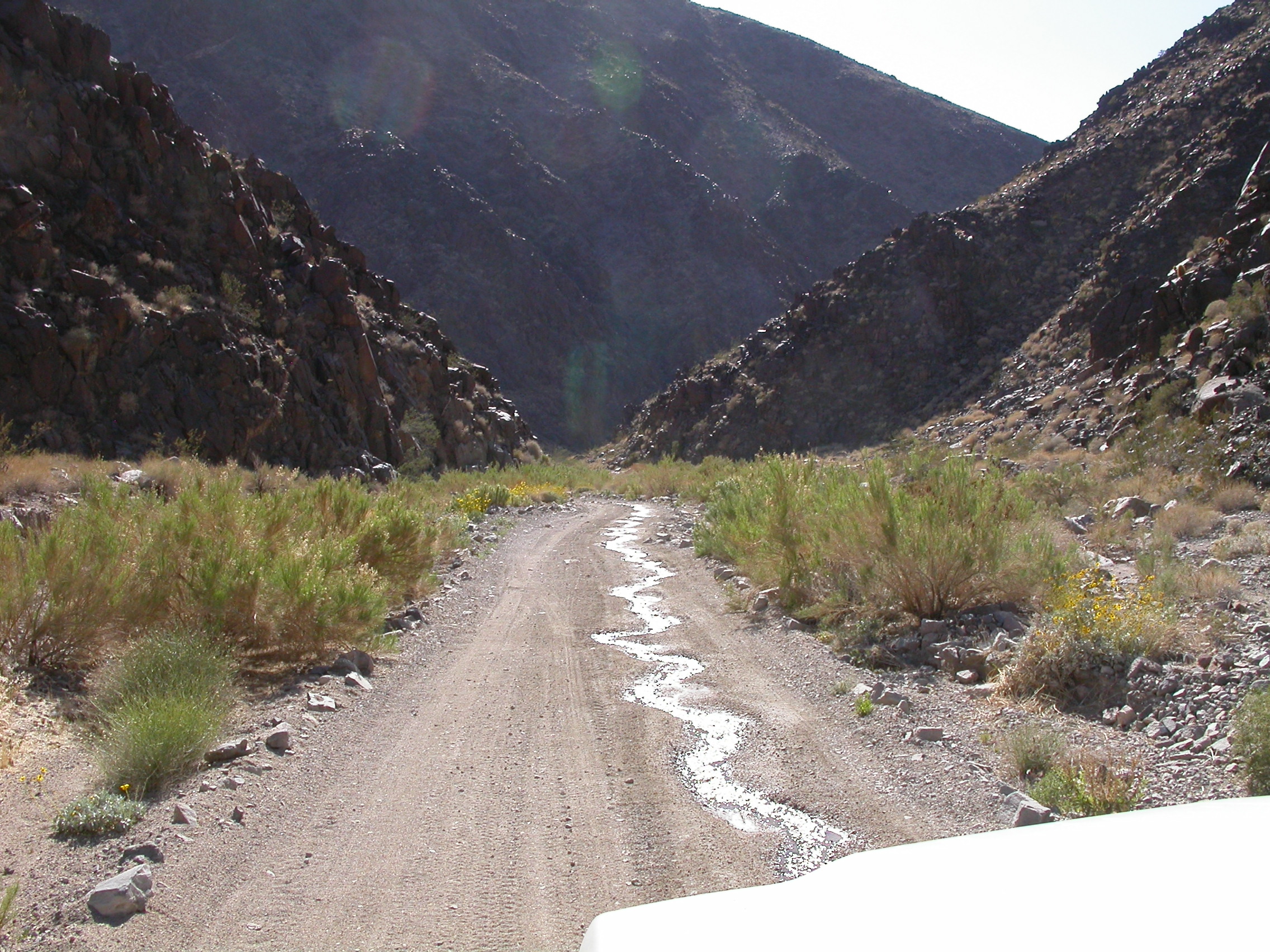
Going down Goler Wash.
.
.
.
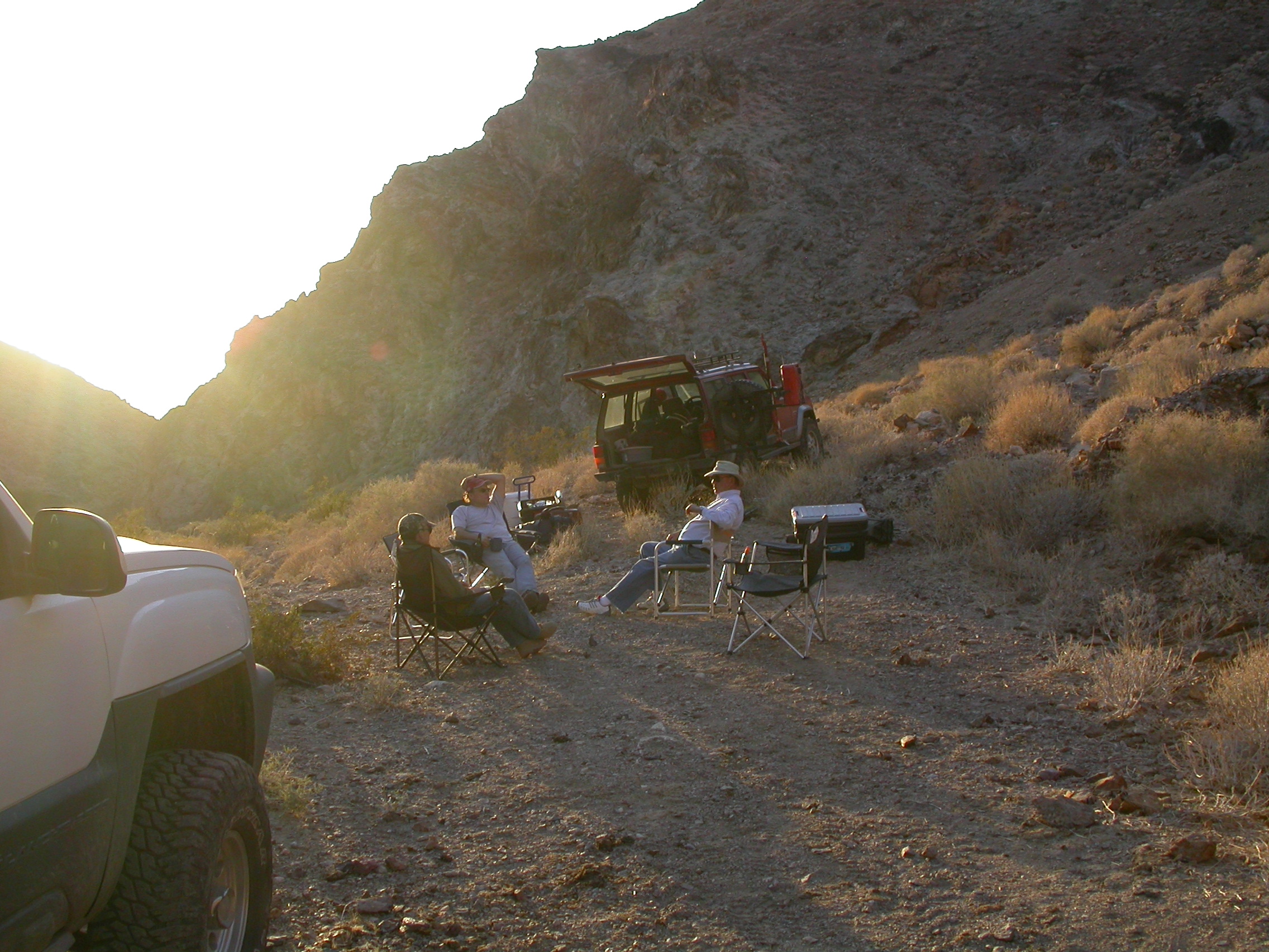
Camping in Pleasant Canyon.
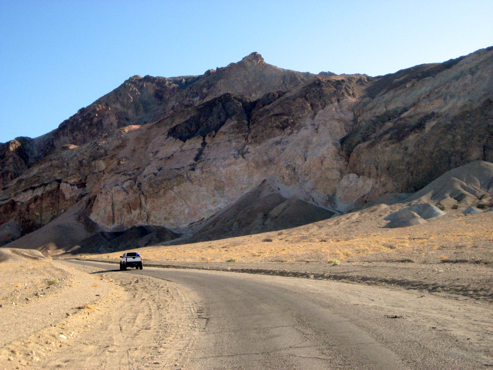
Along Artist's Loop.
.

.
.
.
.
.
.
.
Badwater Basin.
.
.
.
.
.
.
.
.
.
.

.
.
.
.
.
.
.
.
.
.

Carl Mengel's grave atop Mengel Pass.
.
.
.
.
.
.
.
.
.

.
.
.
.
.
.
.