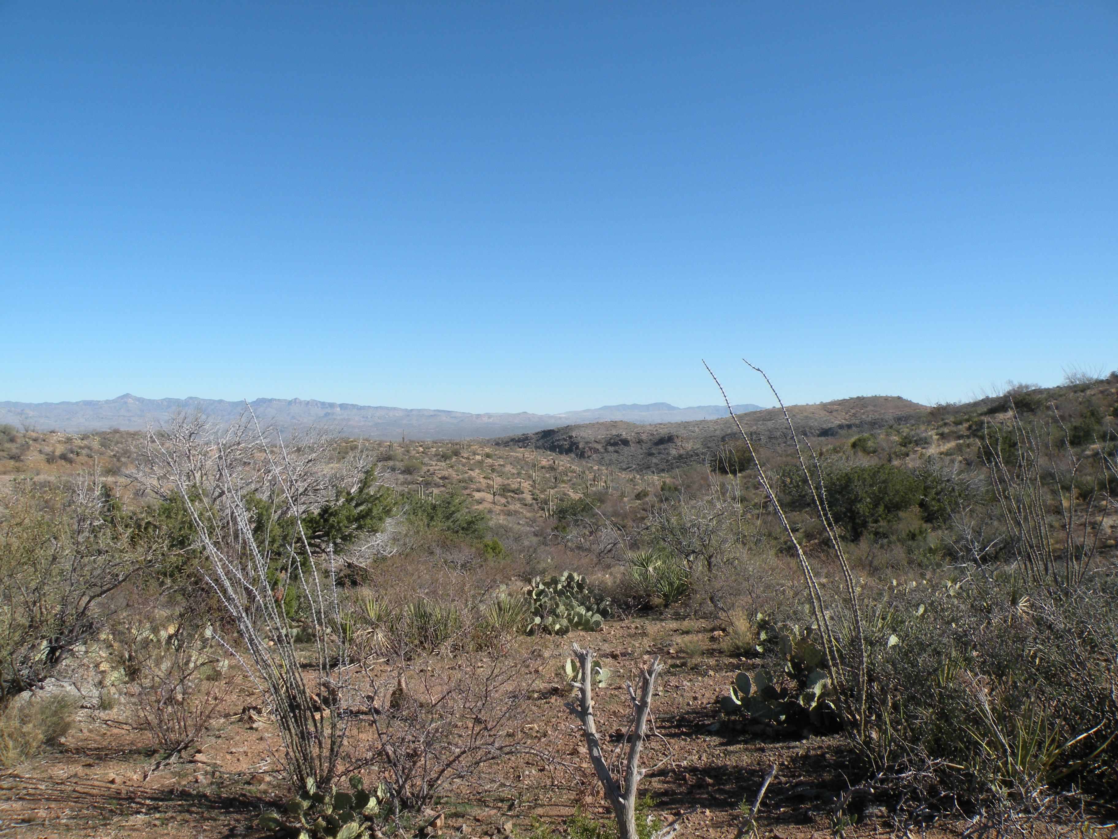
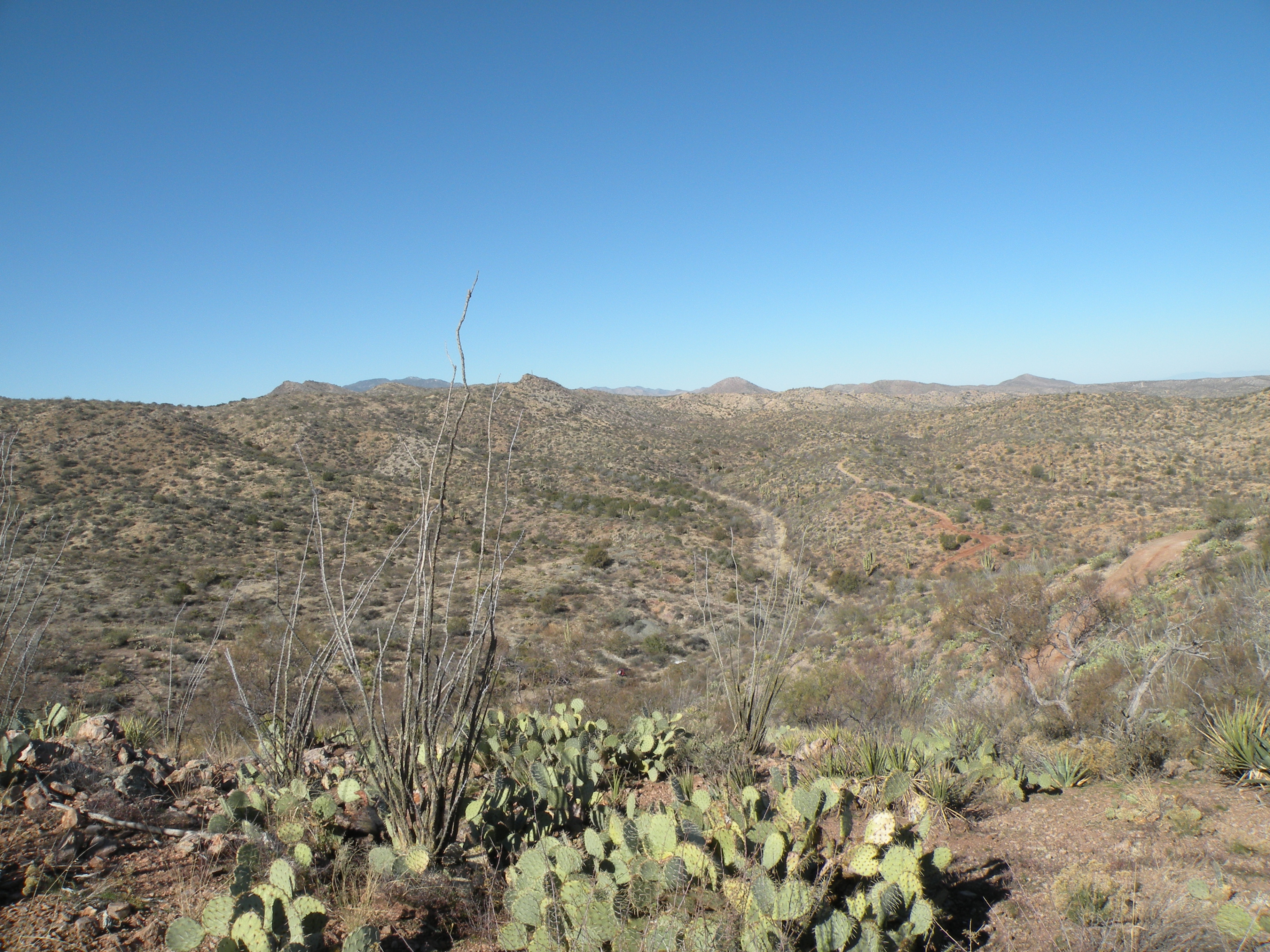
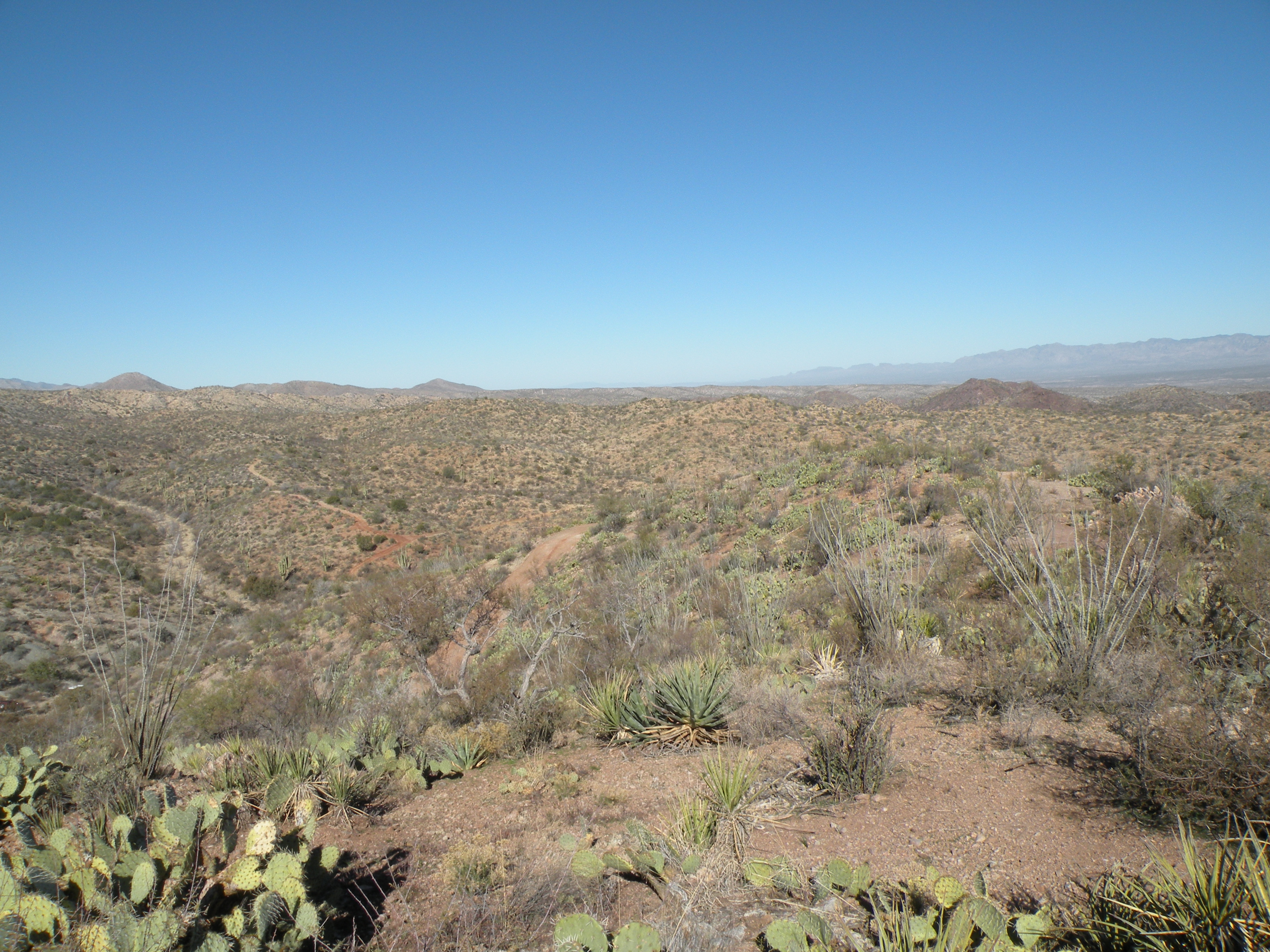
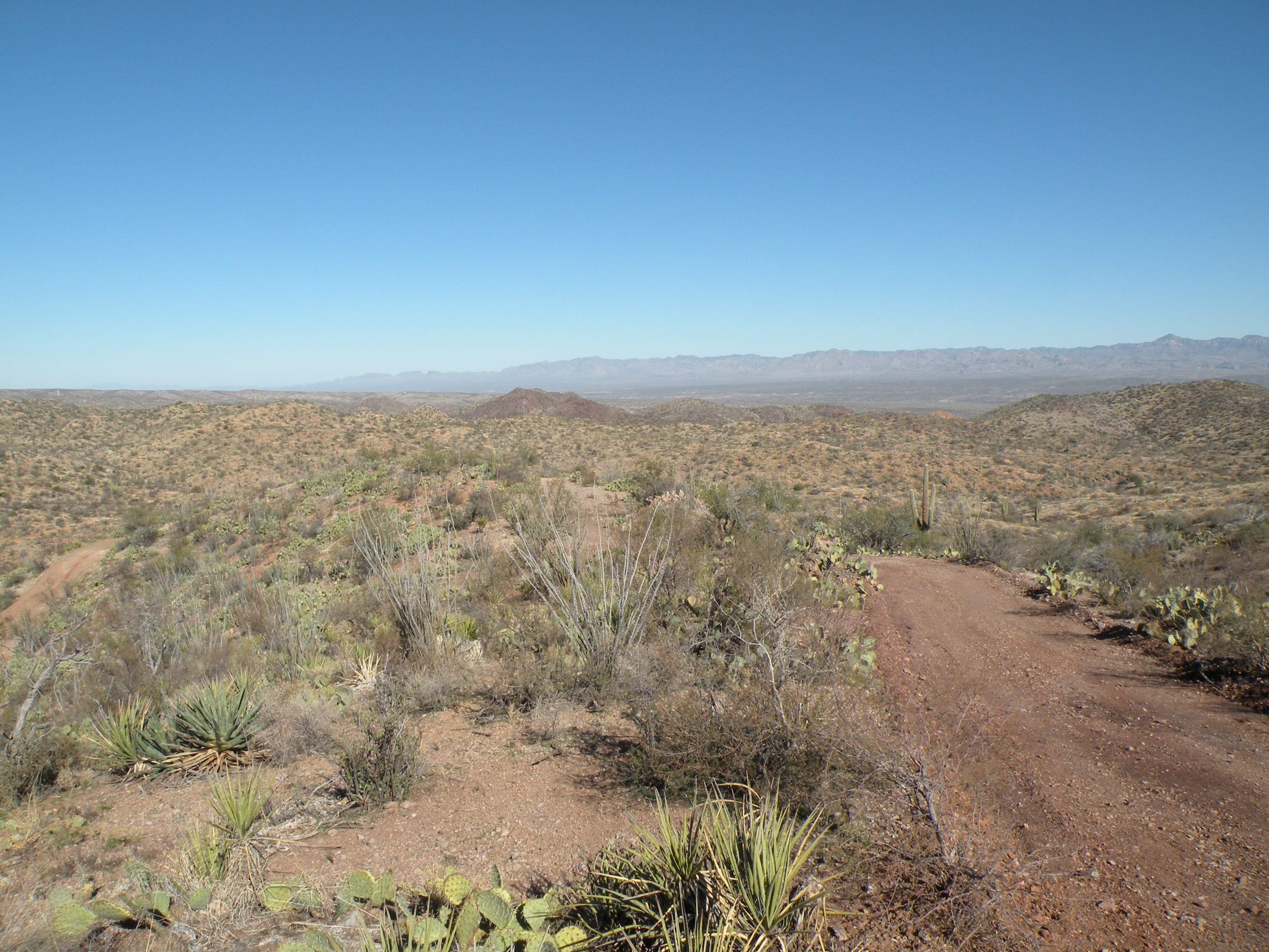
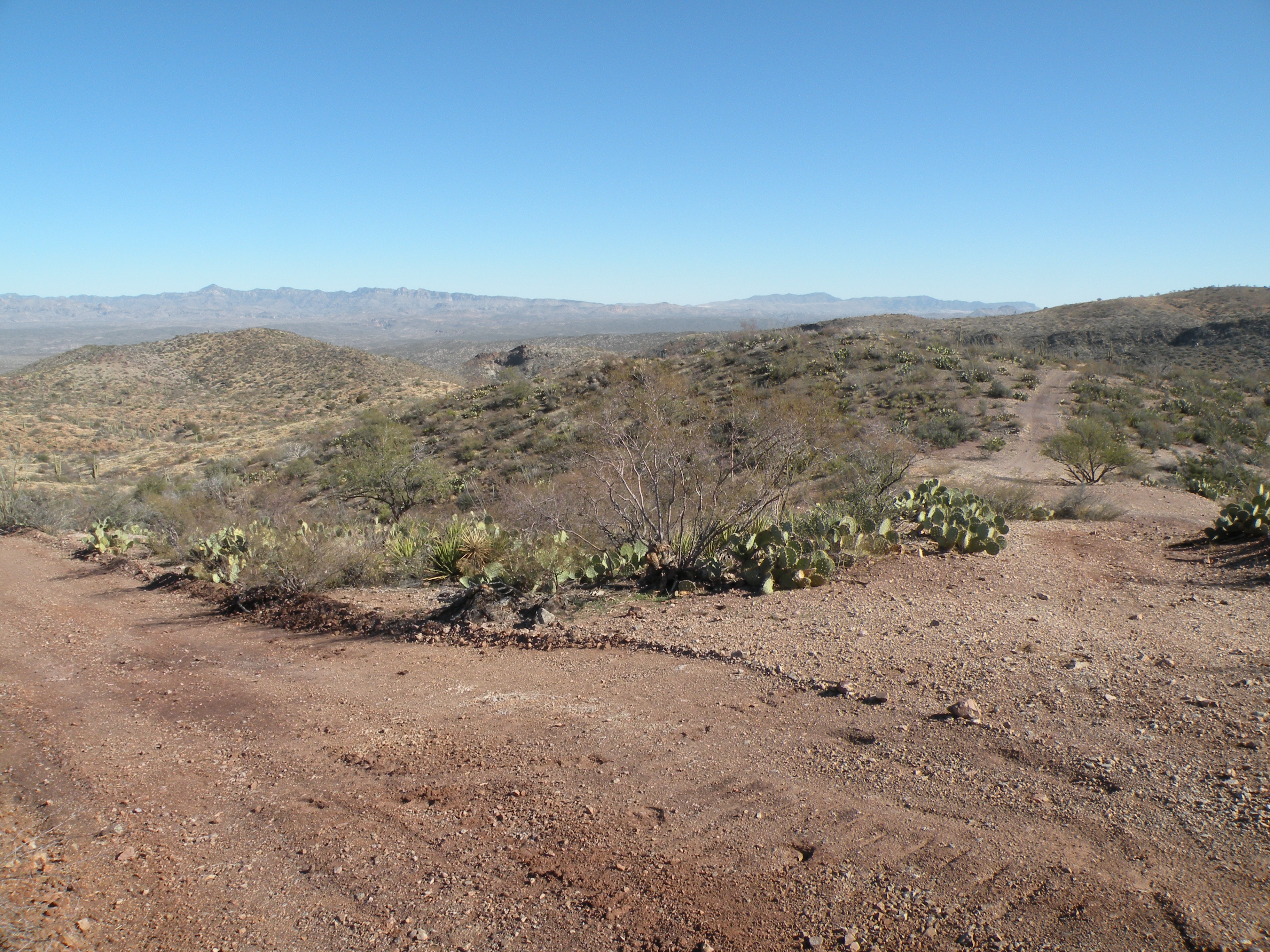
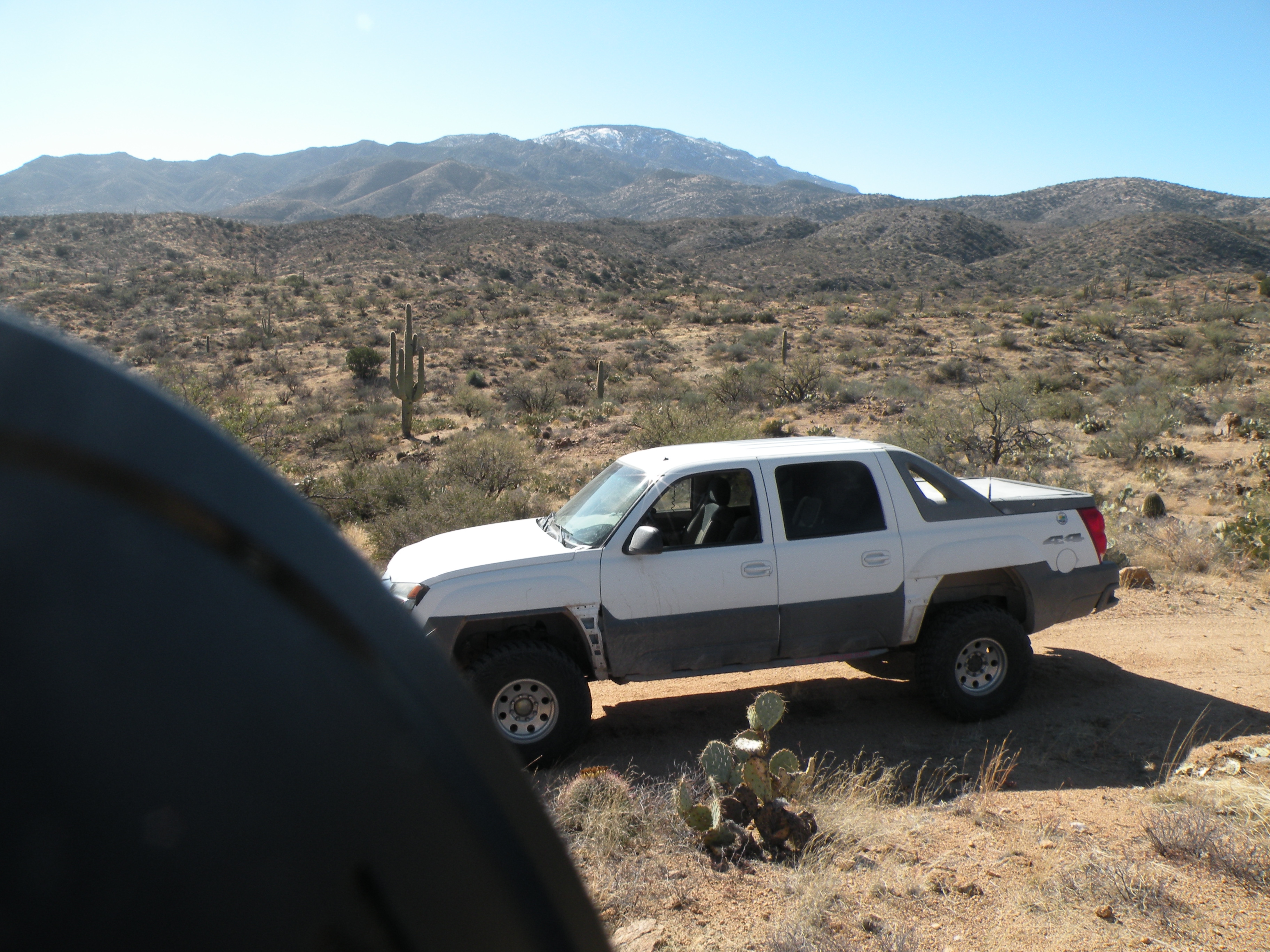
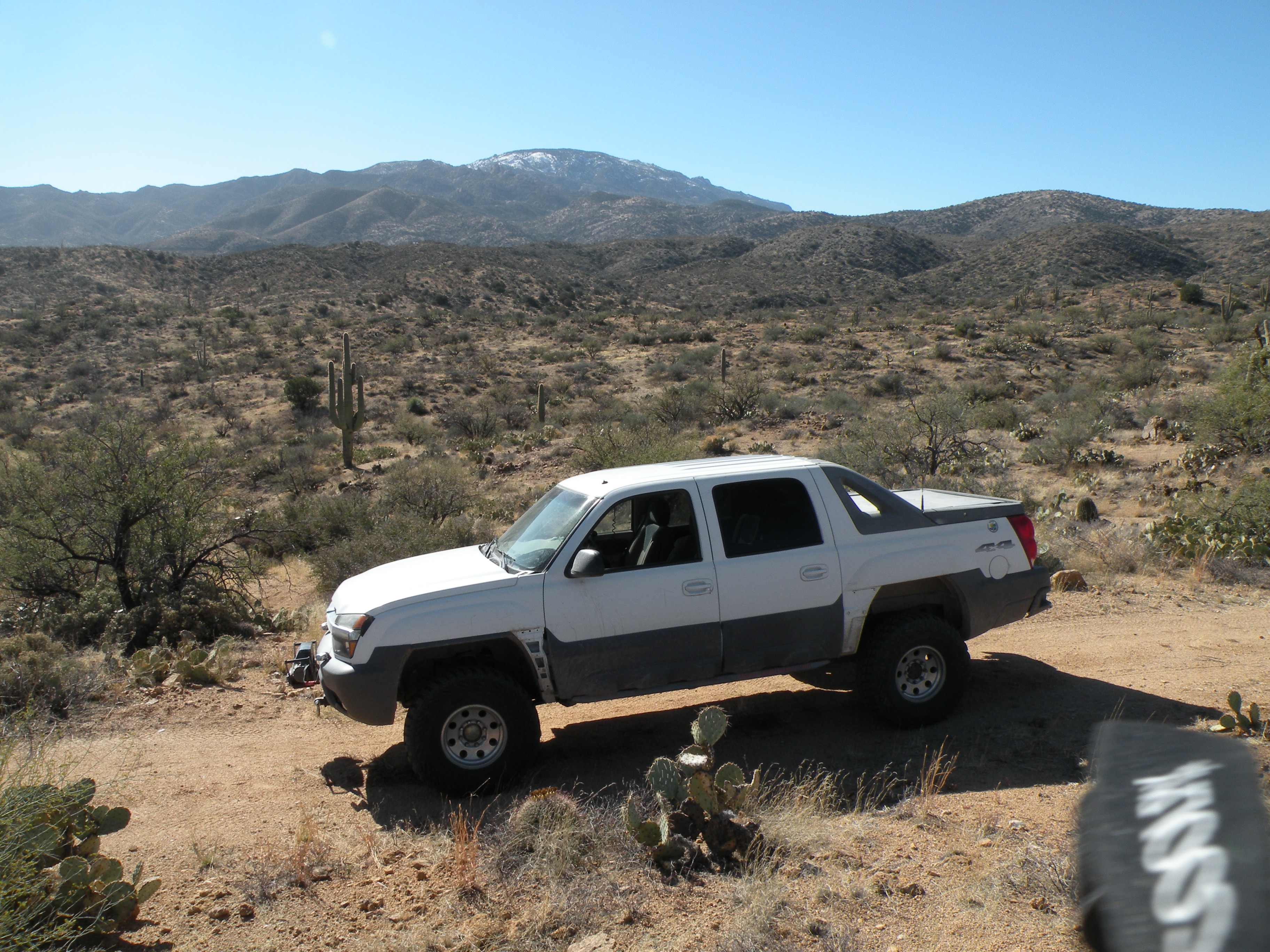
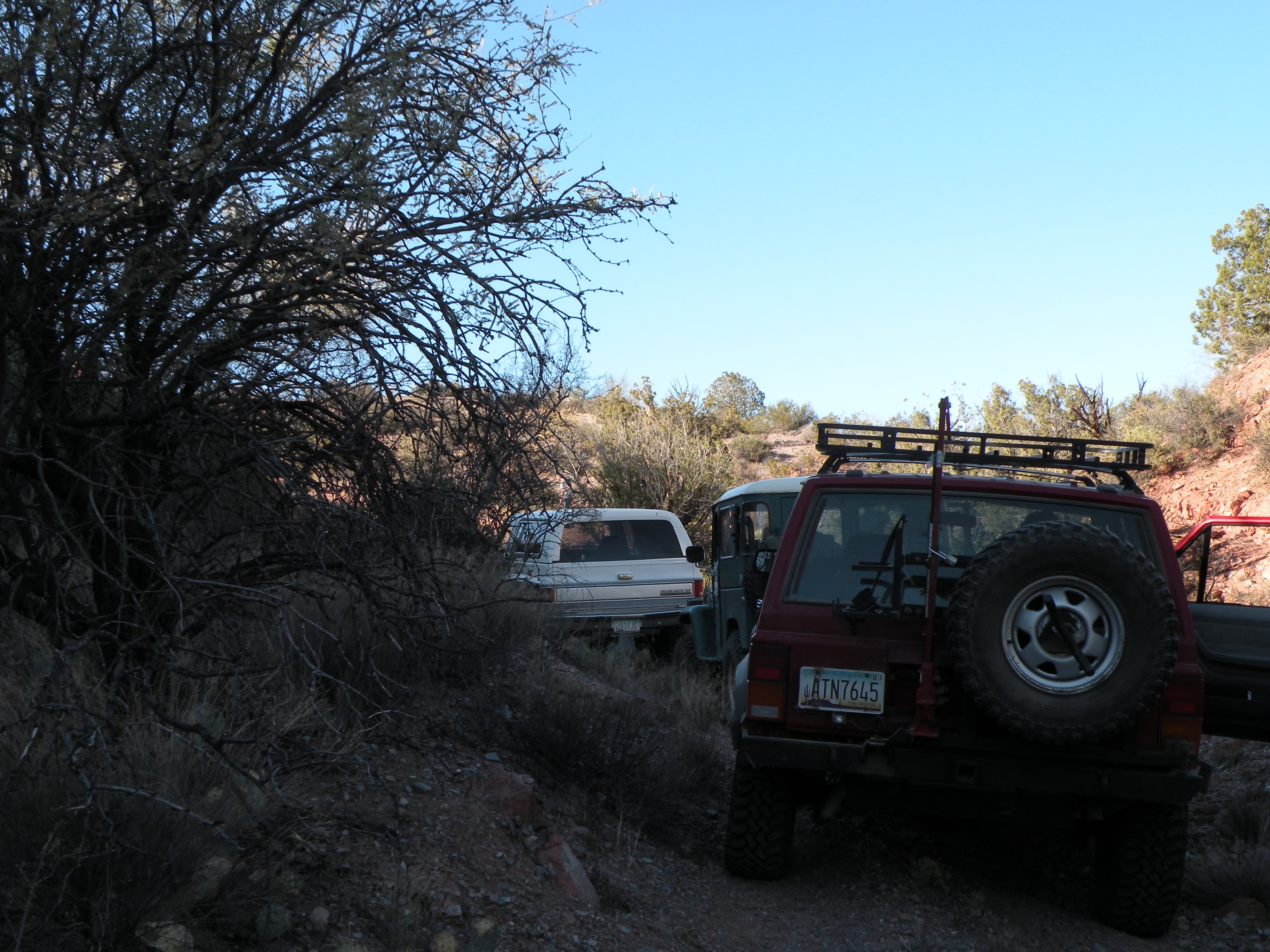
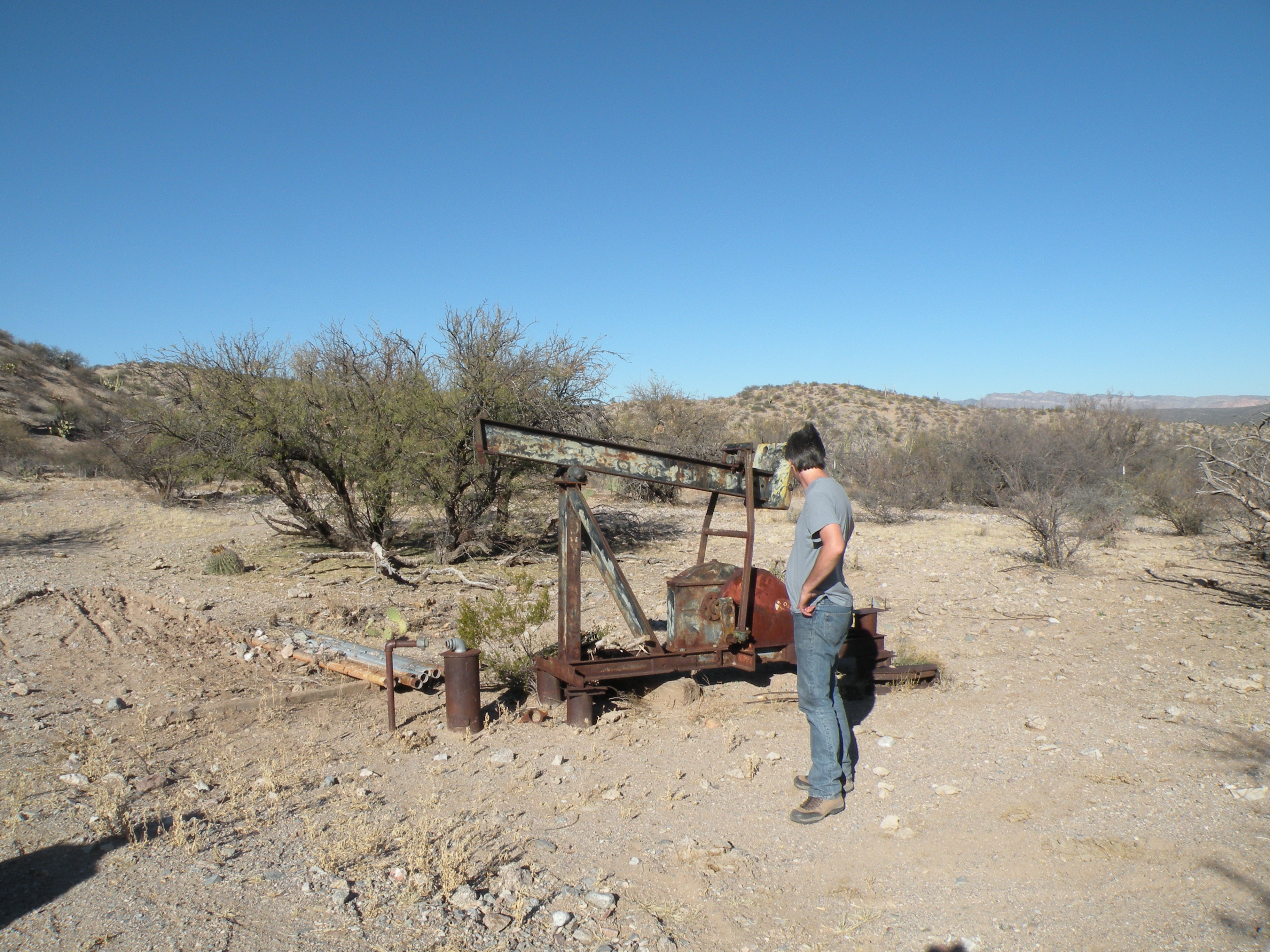
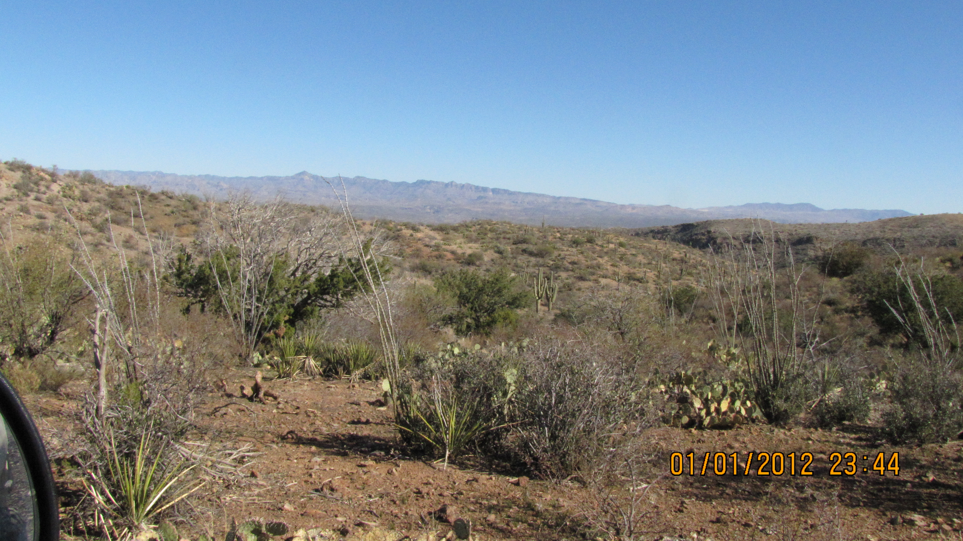
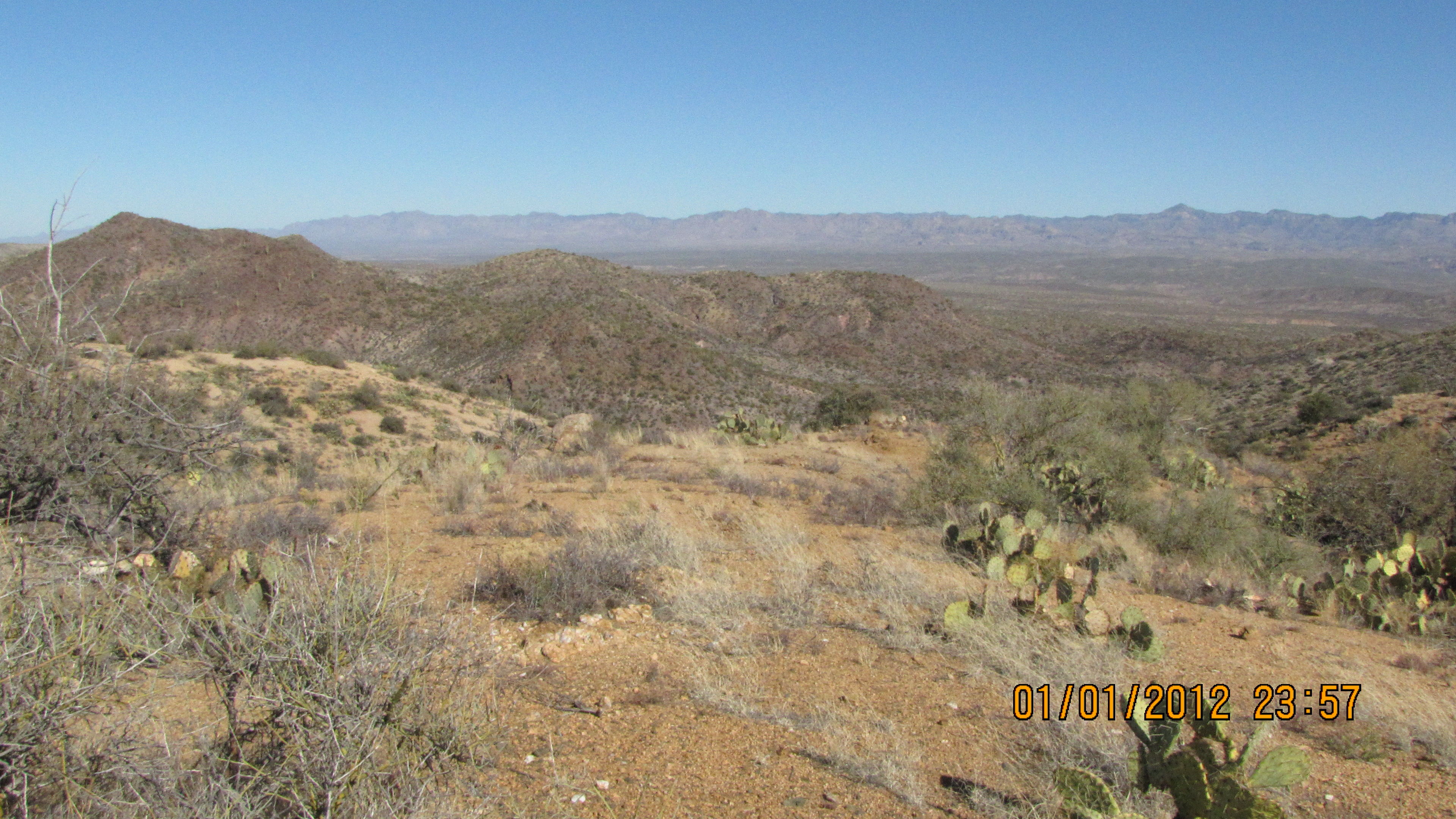
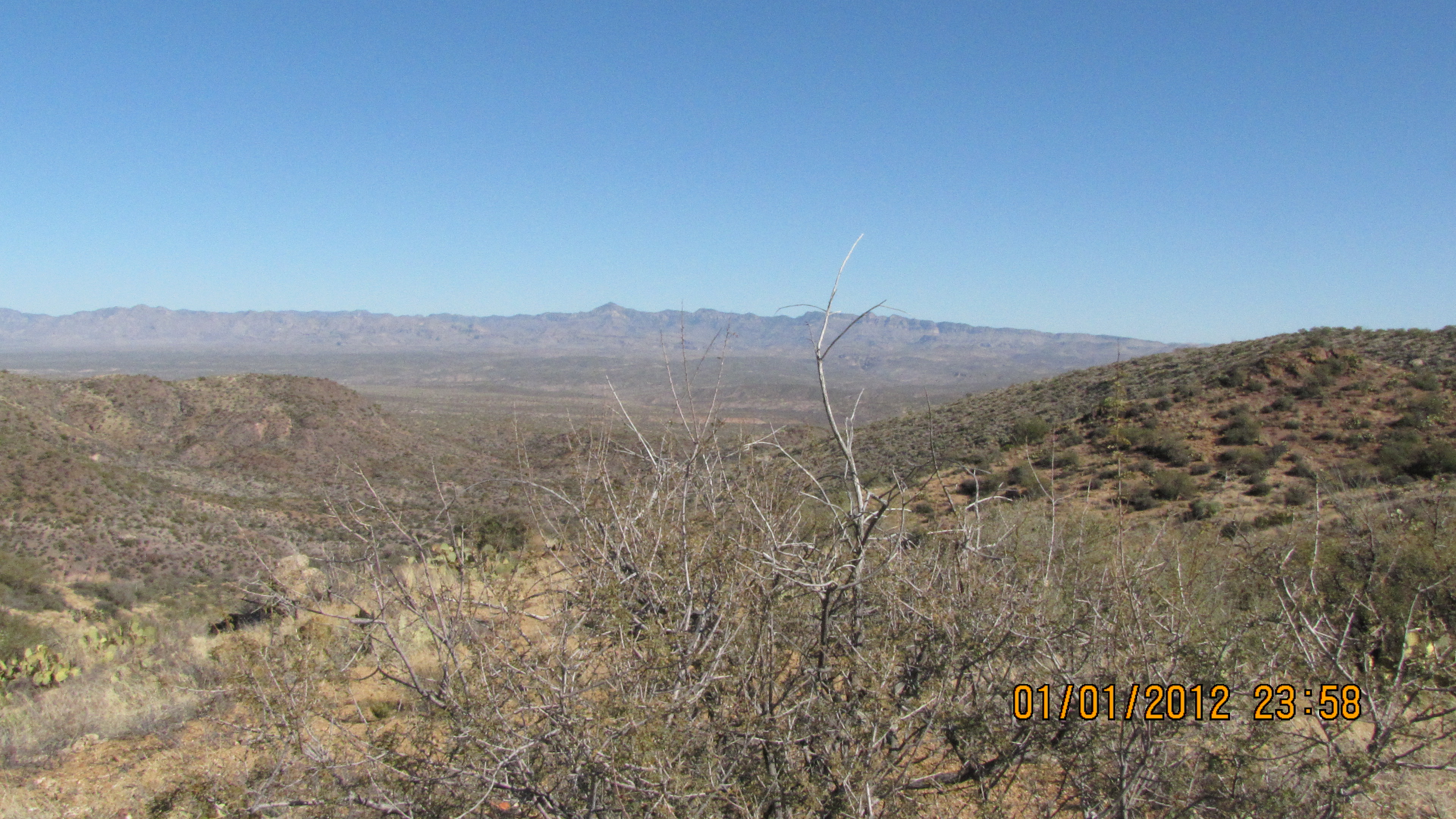
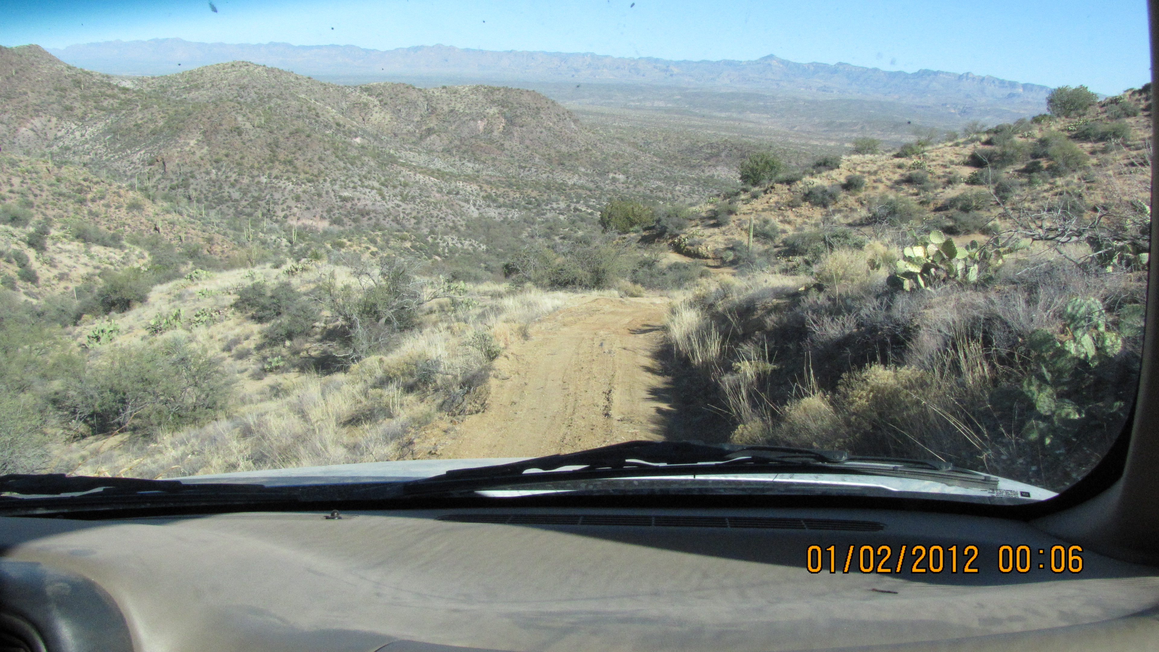
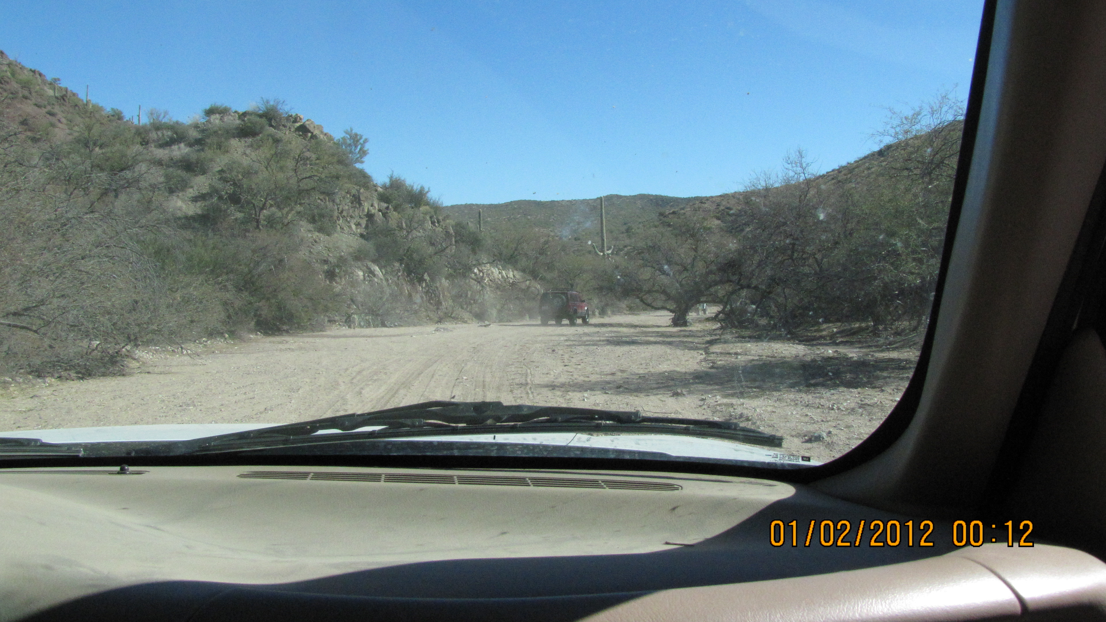
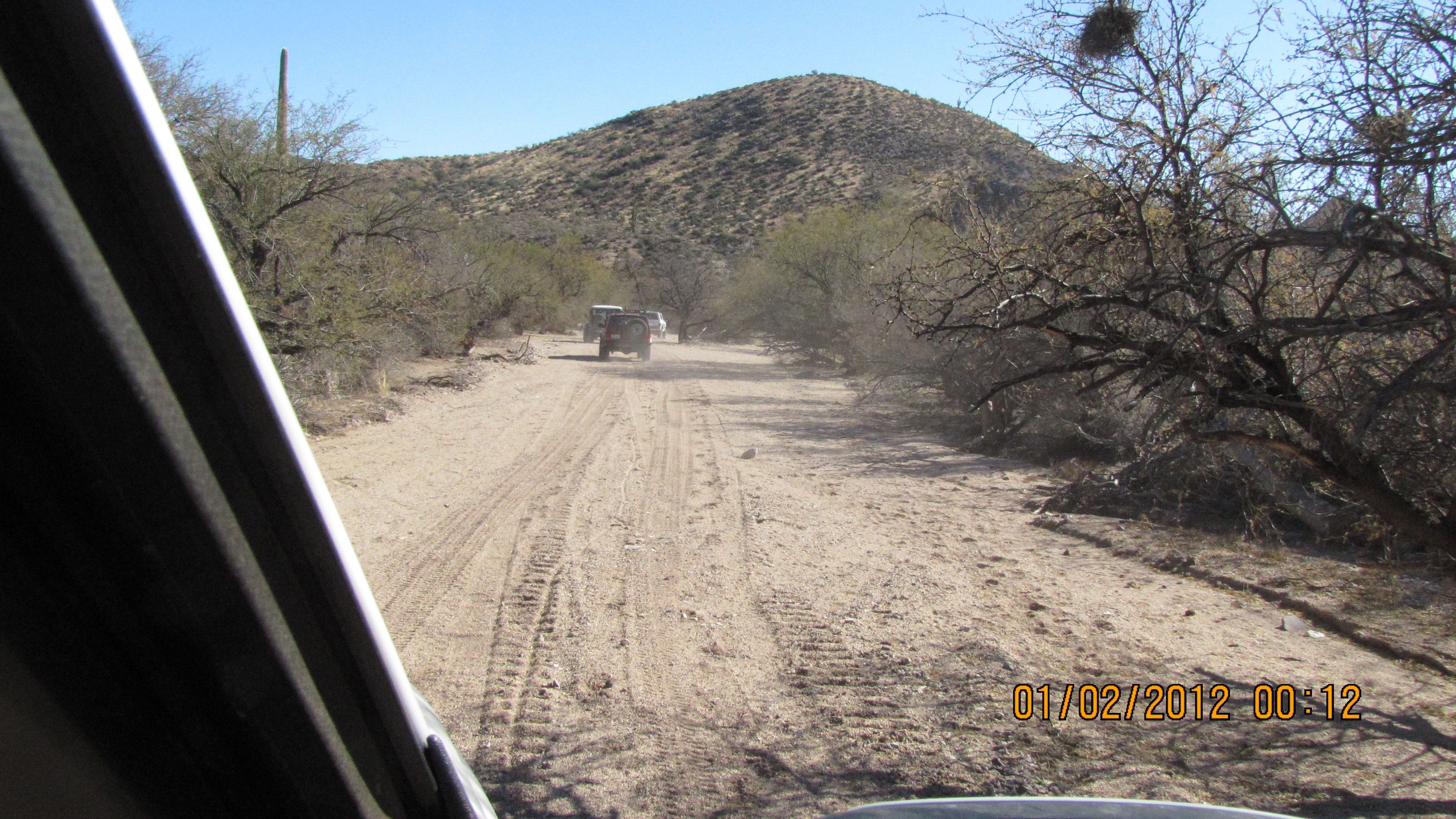
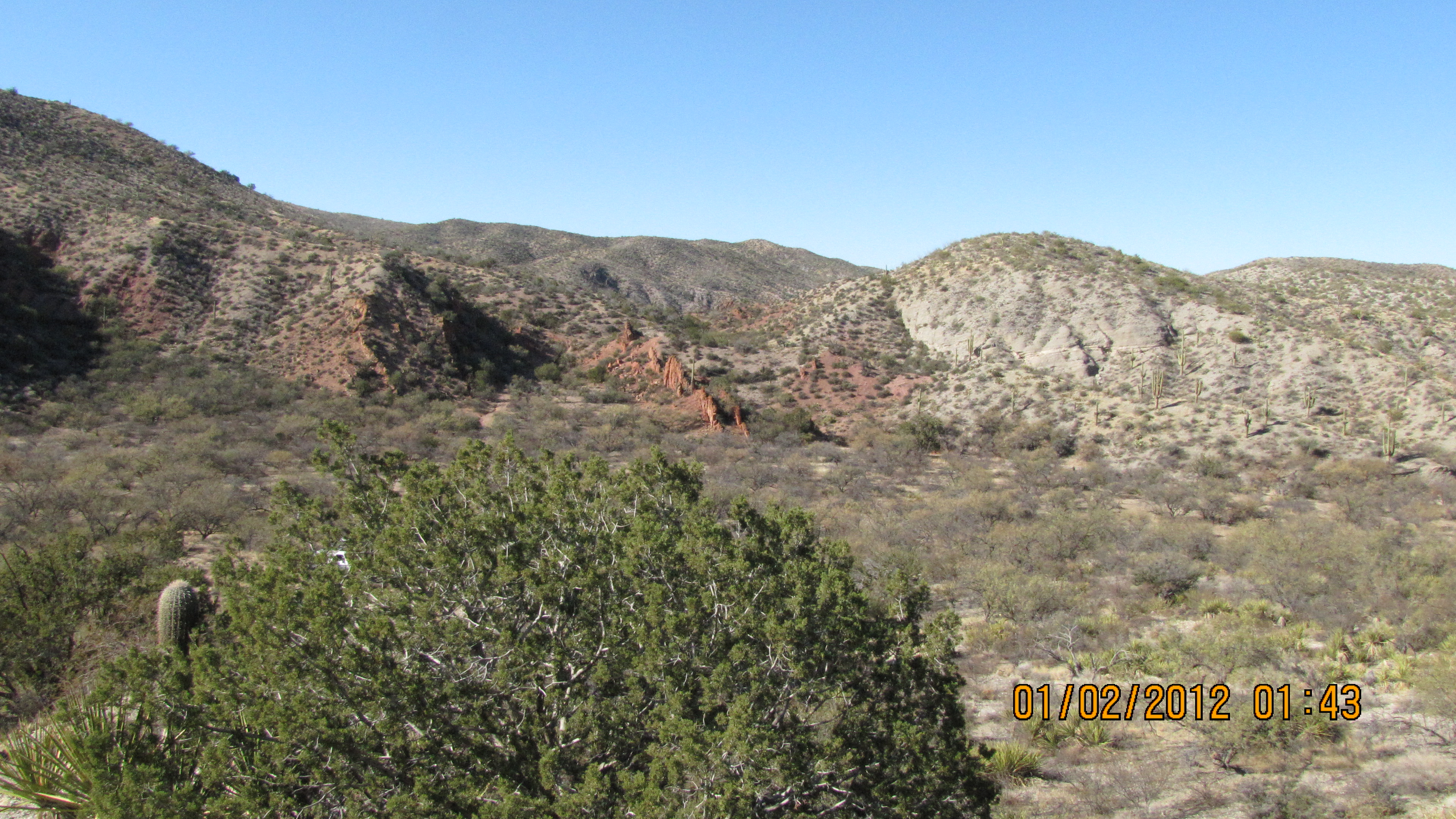
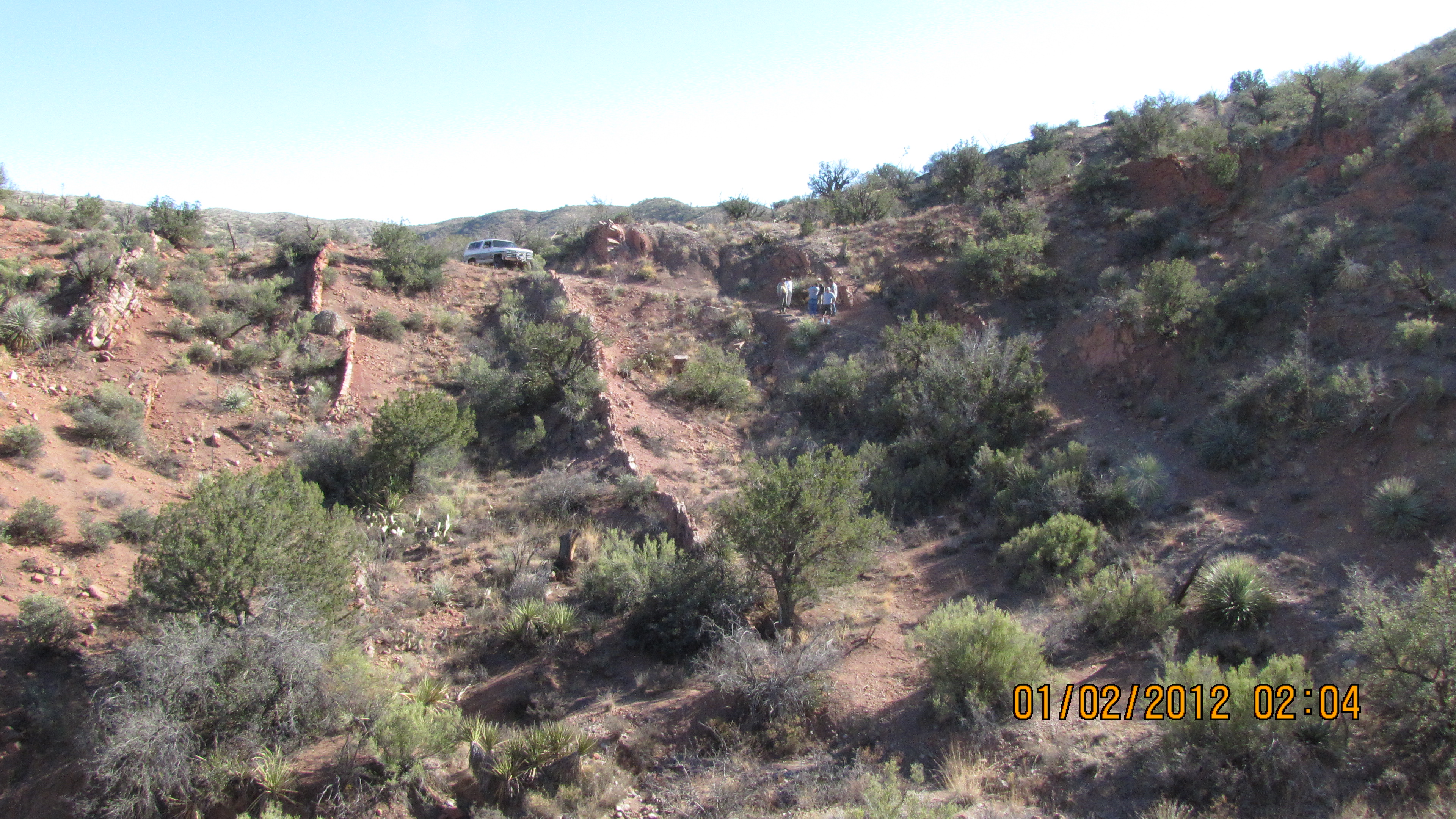
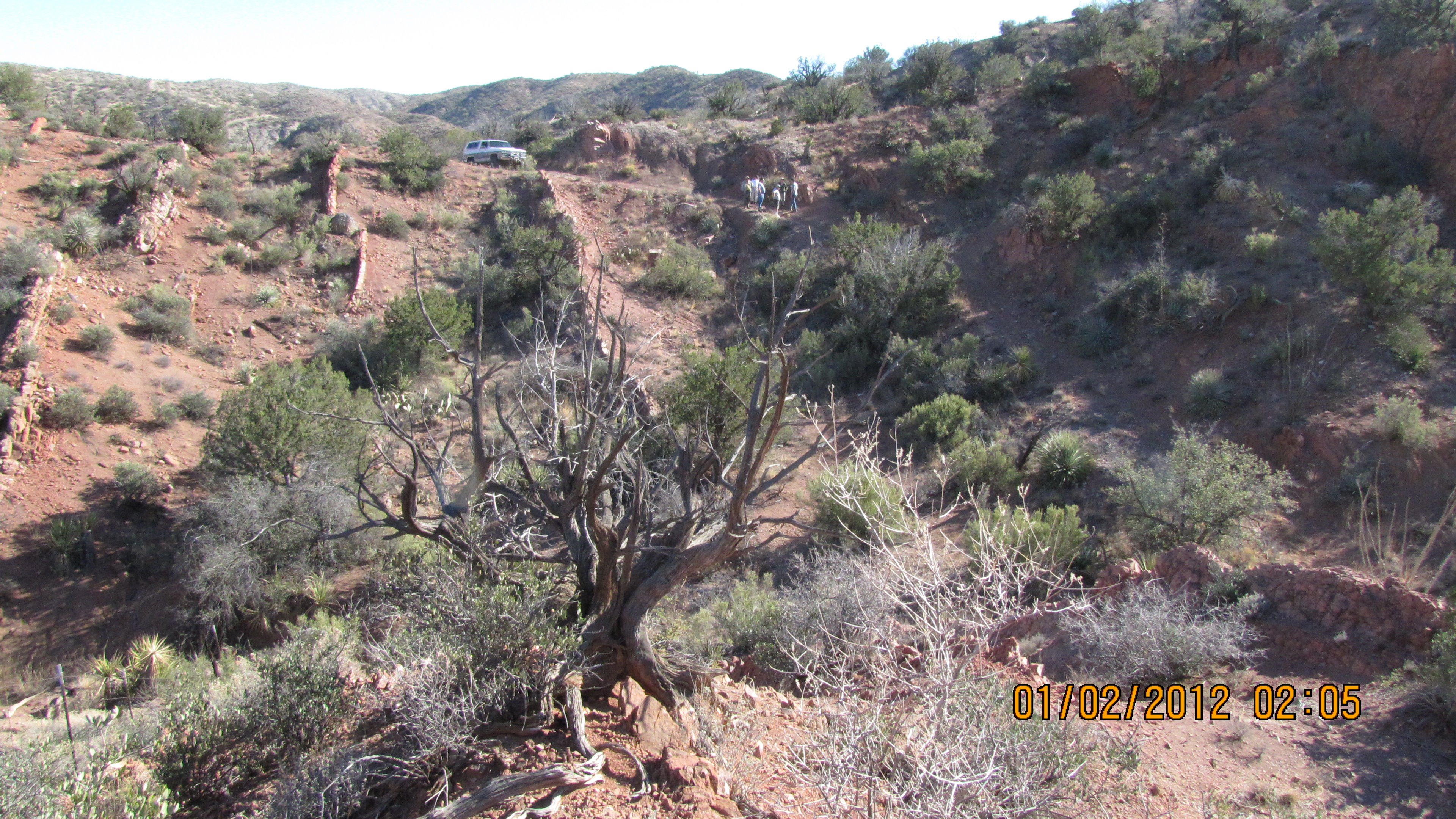
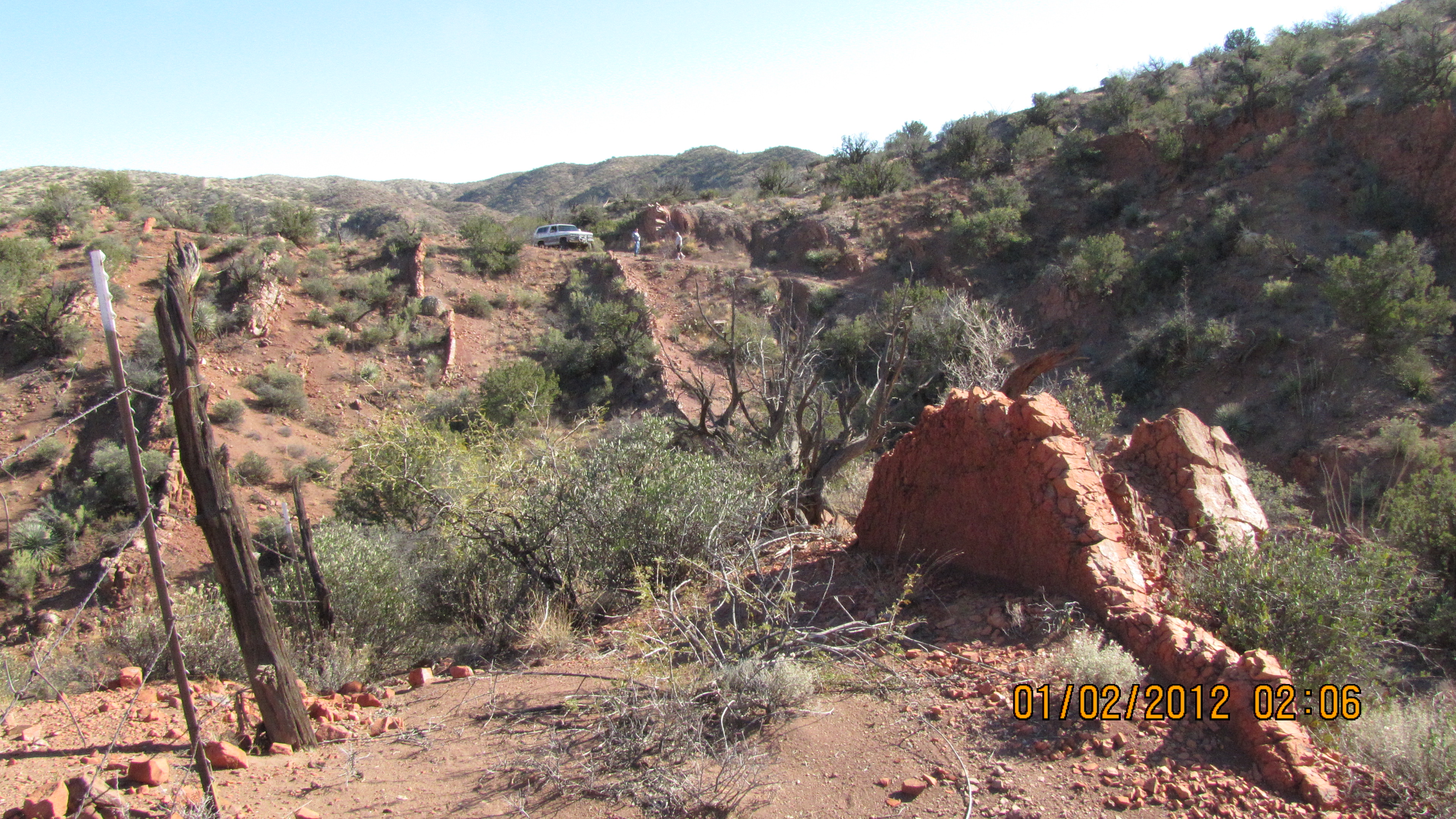
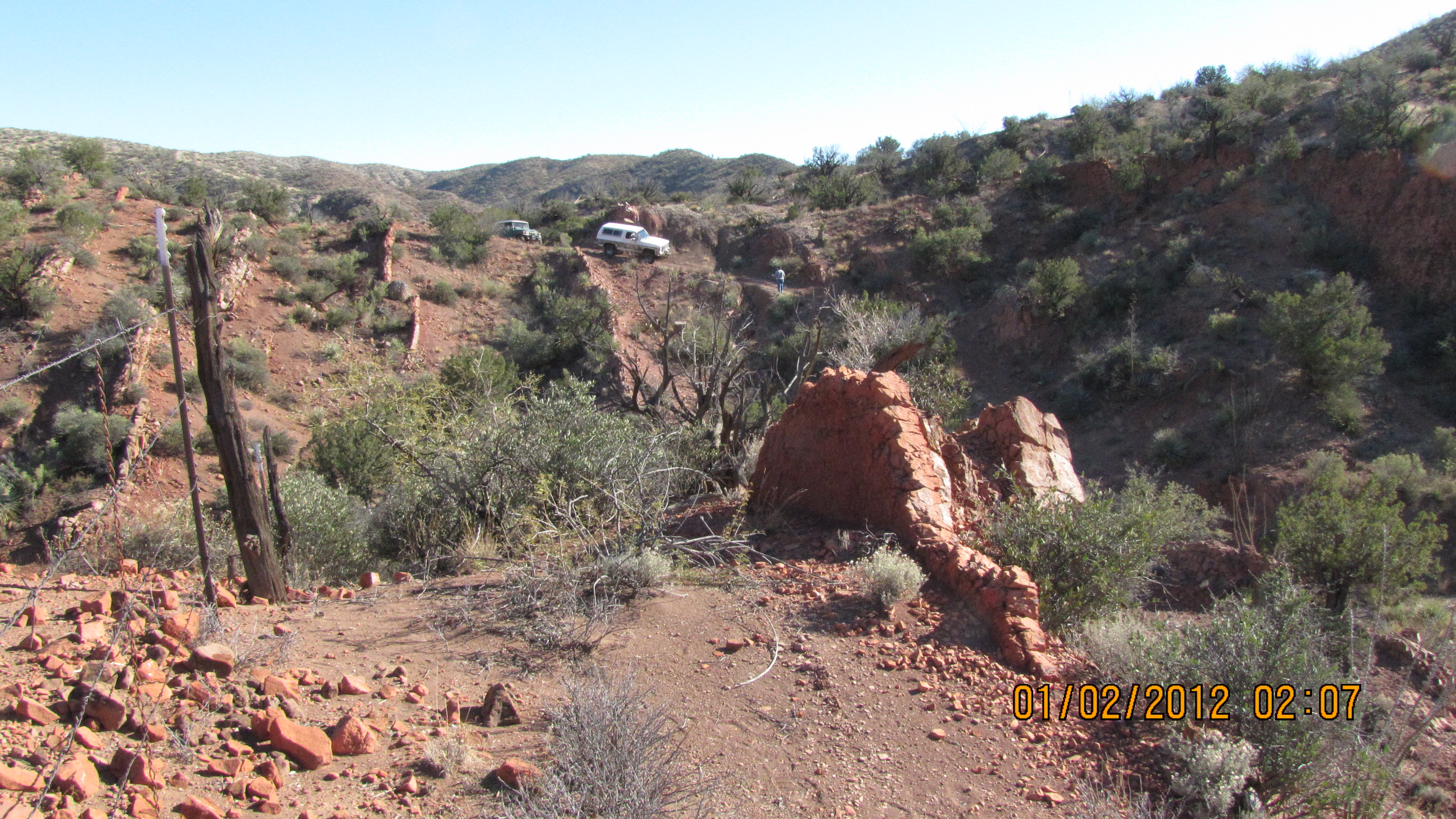
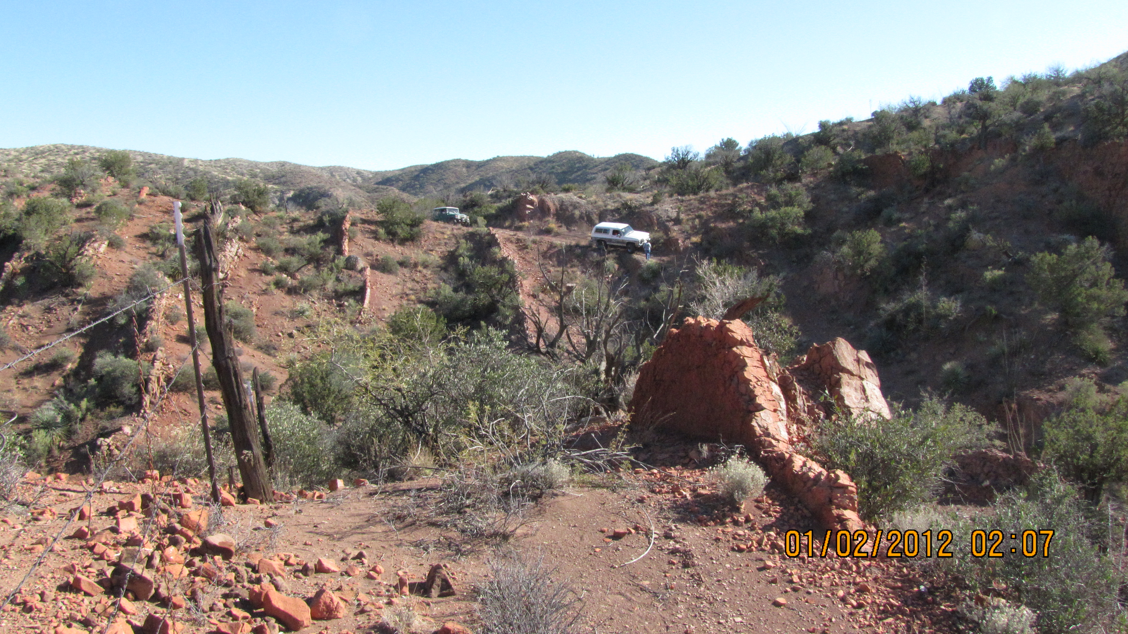
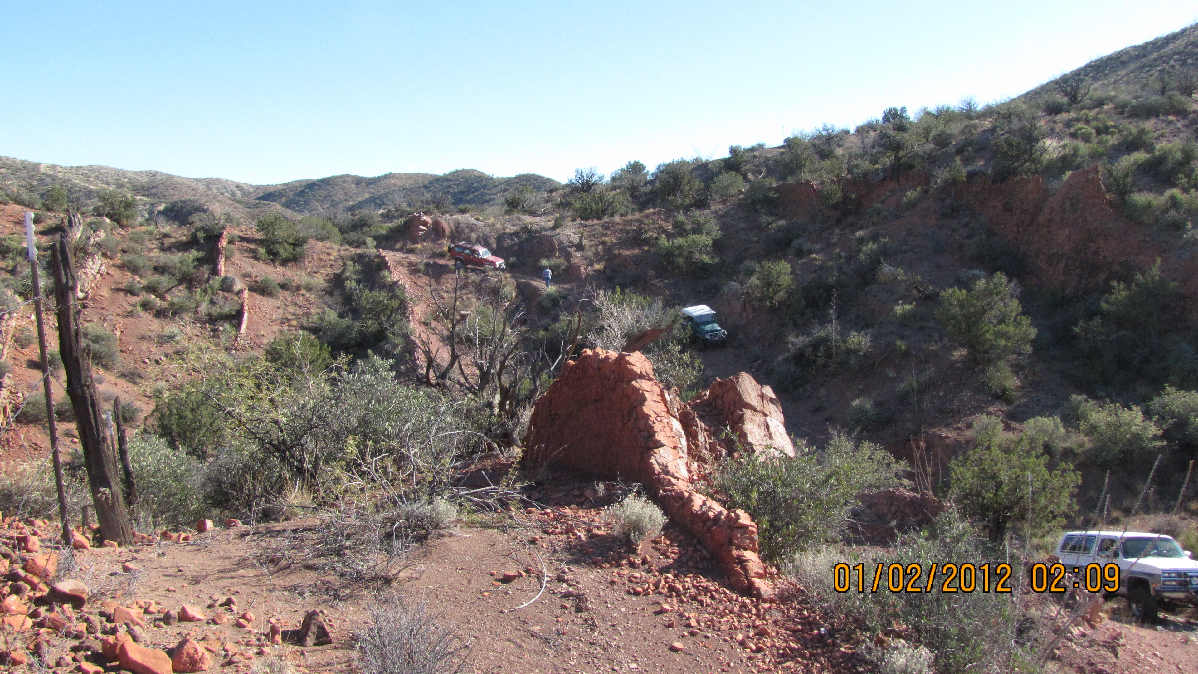
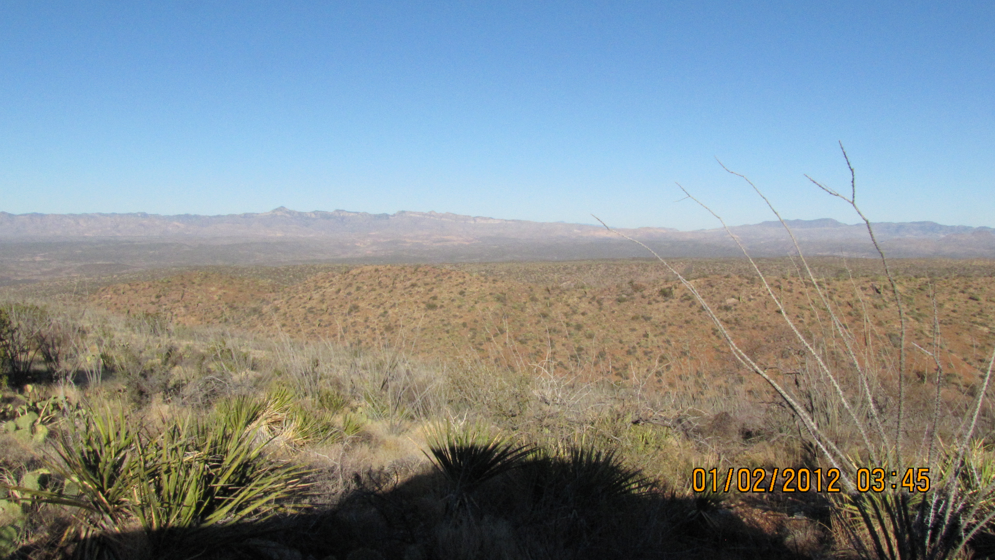
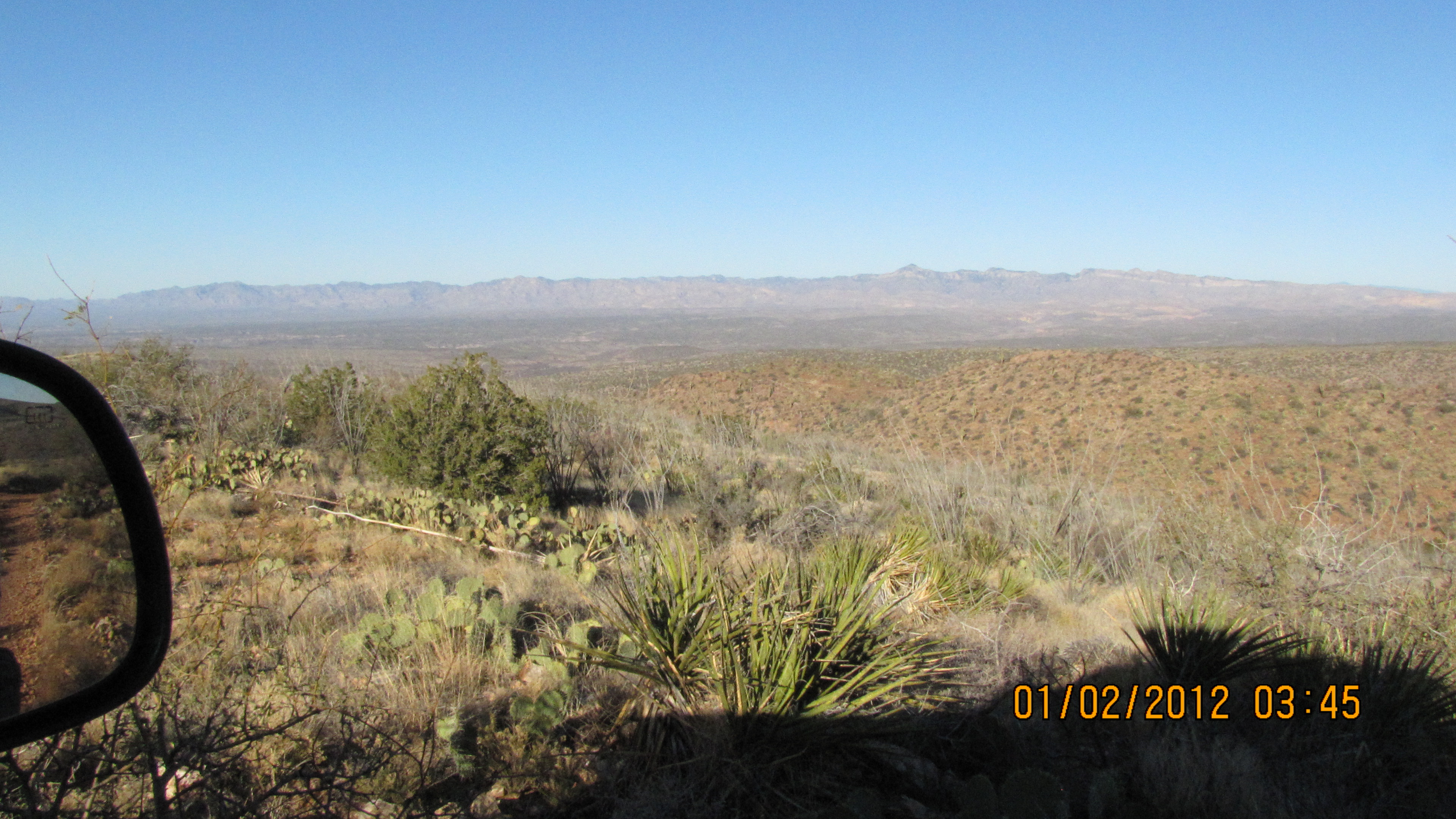
We headed East from Tucson on Redington Road about 10:15AM. The weather was warm and clear and breezy. We took the A7 Ranch turn off Redington Road past milepost 14 and headed down toward Espiritu Canyon (on State Road D5). Before reaching Espiritu, we took a turn to the left and headed down Canada Atravesada (not all turns included in this description). We ate lunch near the confluence of Canada Atravesada and Roble Canyon. After driving most of the way down Roble Canyon and back, we made a loop on a side road that runs along the Devil's Backbone (perhaps not the official name?). This side road was the most serious wheelin' of the day with a rating of 3.2. Most of the roads had been recently graded so this trip is pretty easy right now (2.7). Then we spent awhile being confused about how to get into the east side of Espiritu Canyon. This is because we forgot that the very steep road entering Espiritu from the east is NOT shown on the topo map. We got to Espiritu Canyon about 4PM, and then headed out the west side back to Redington Road. We were back on pavement by 5:15PM.
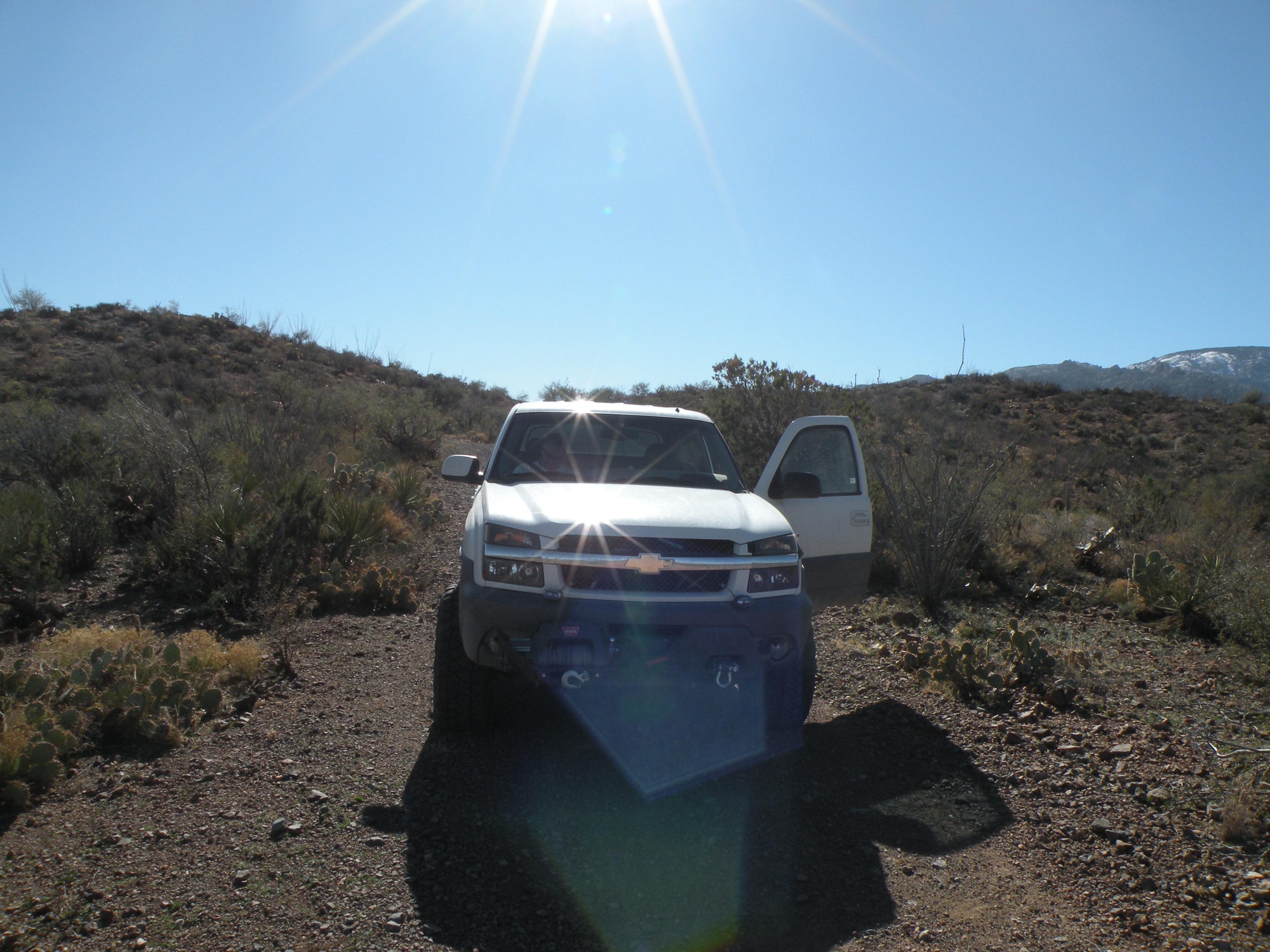
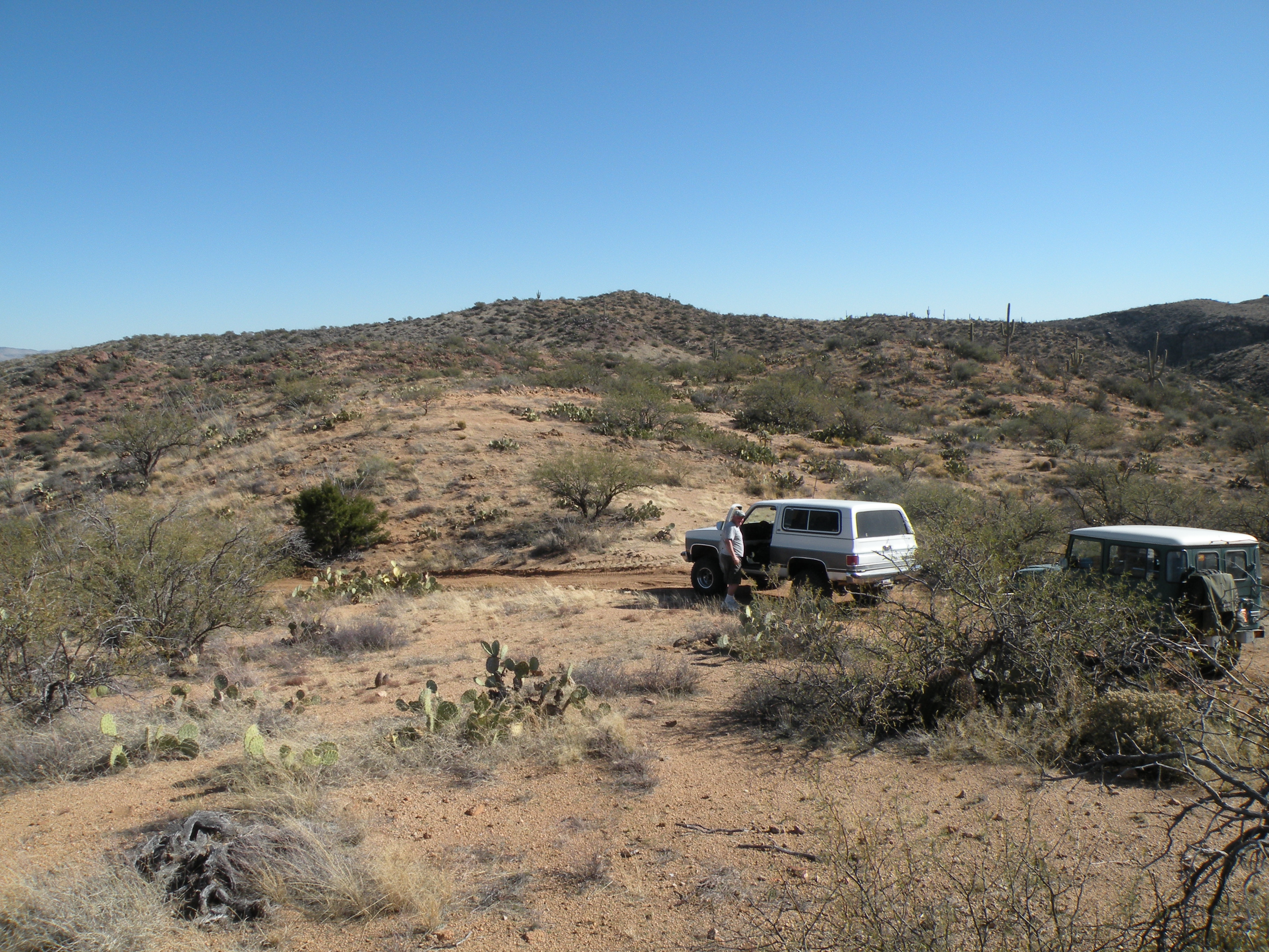
No trucks were damaged on this expedition, although we drew blood from Jon's hand, arm and foot with various thorns.
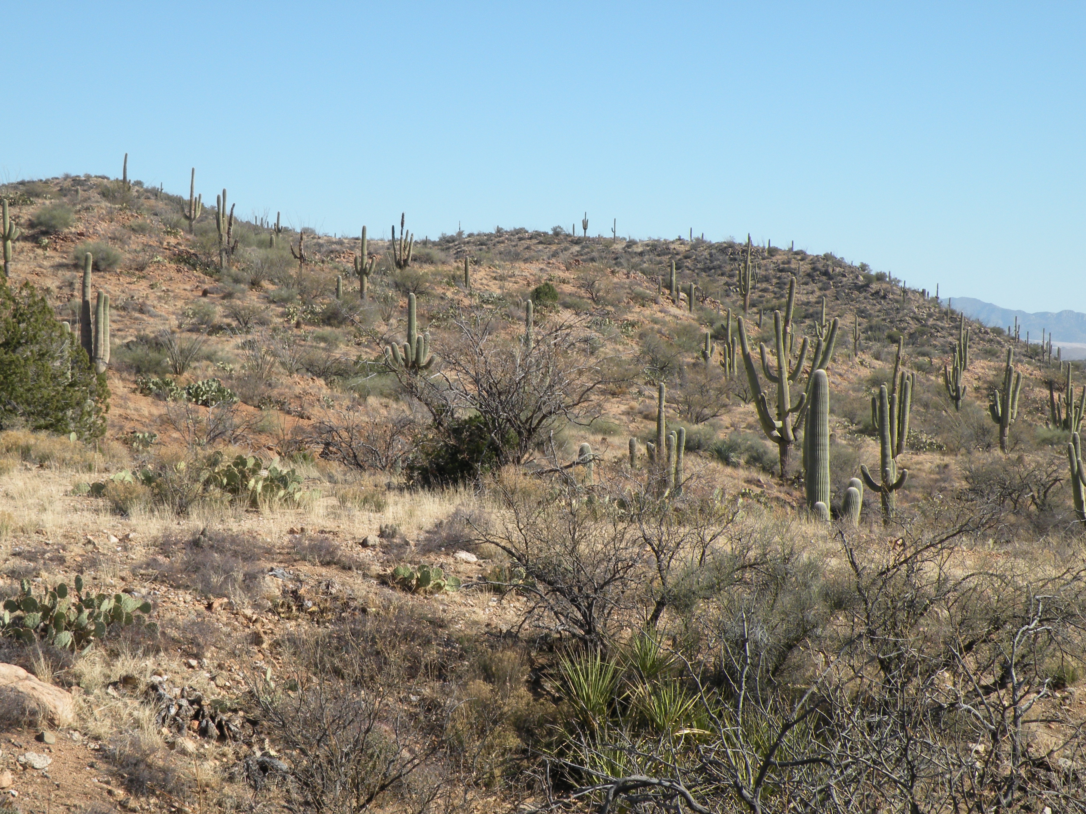
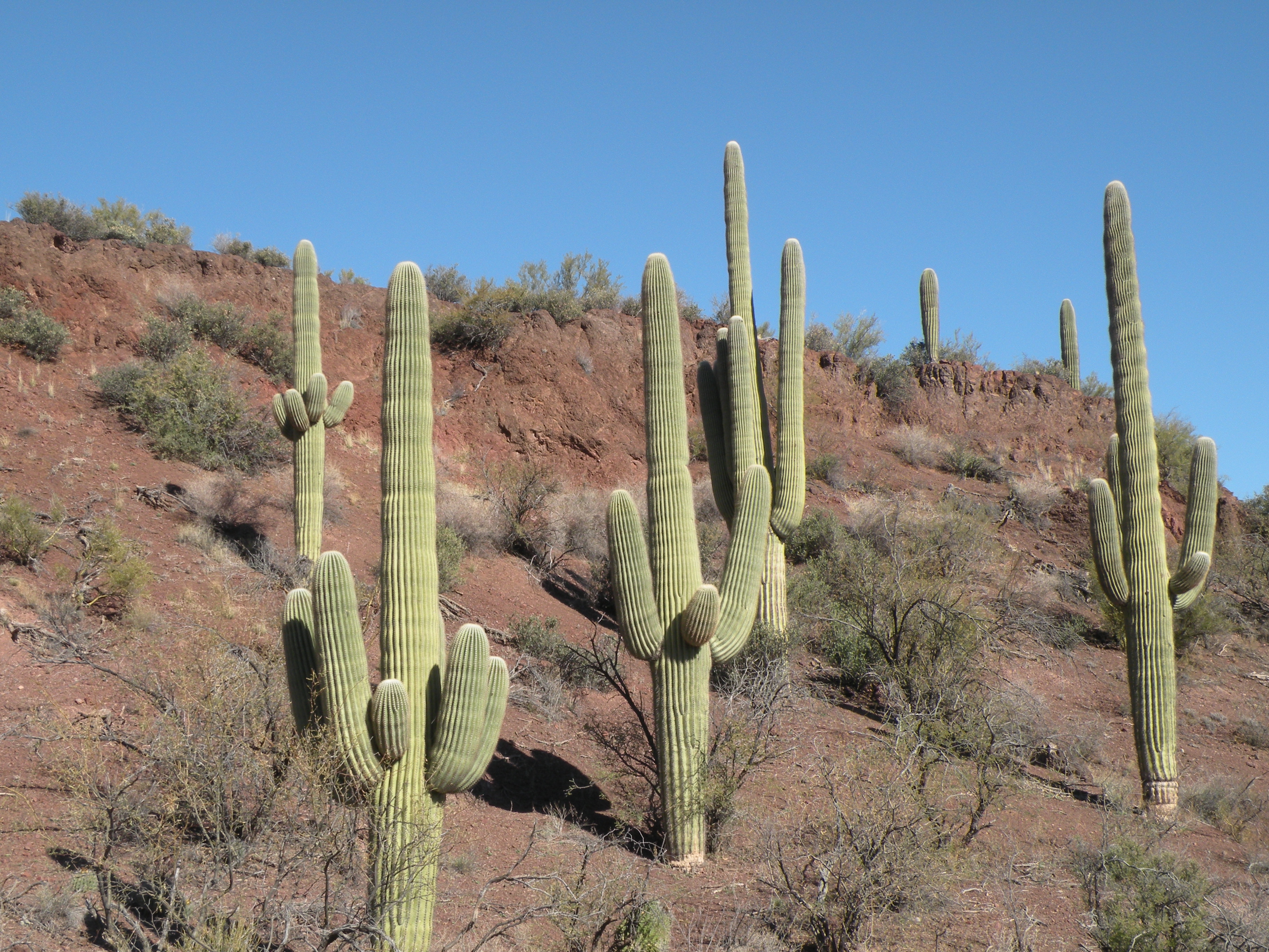
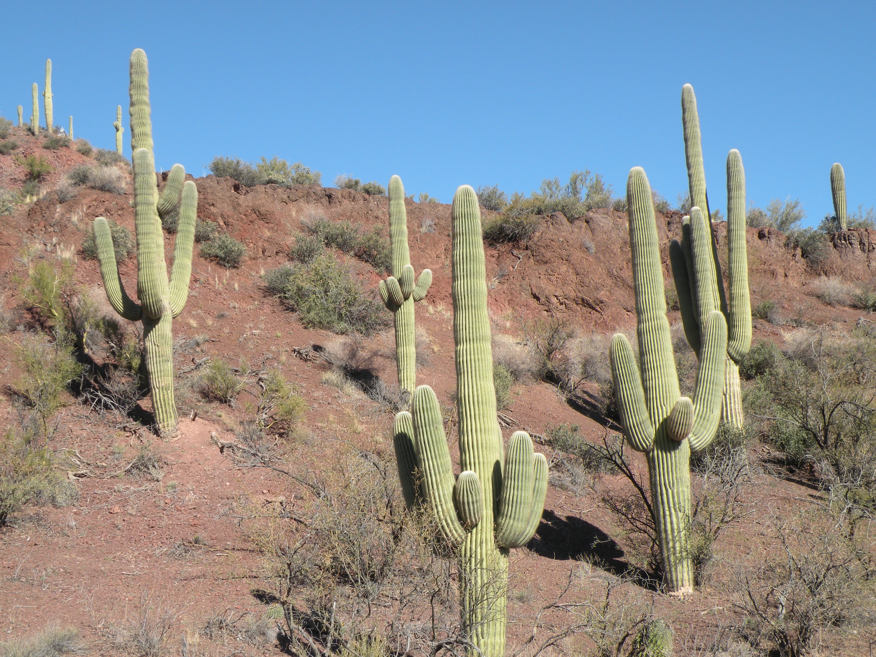
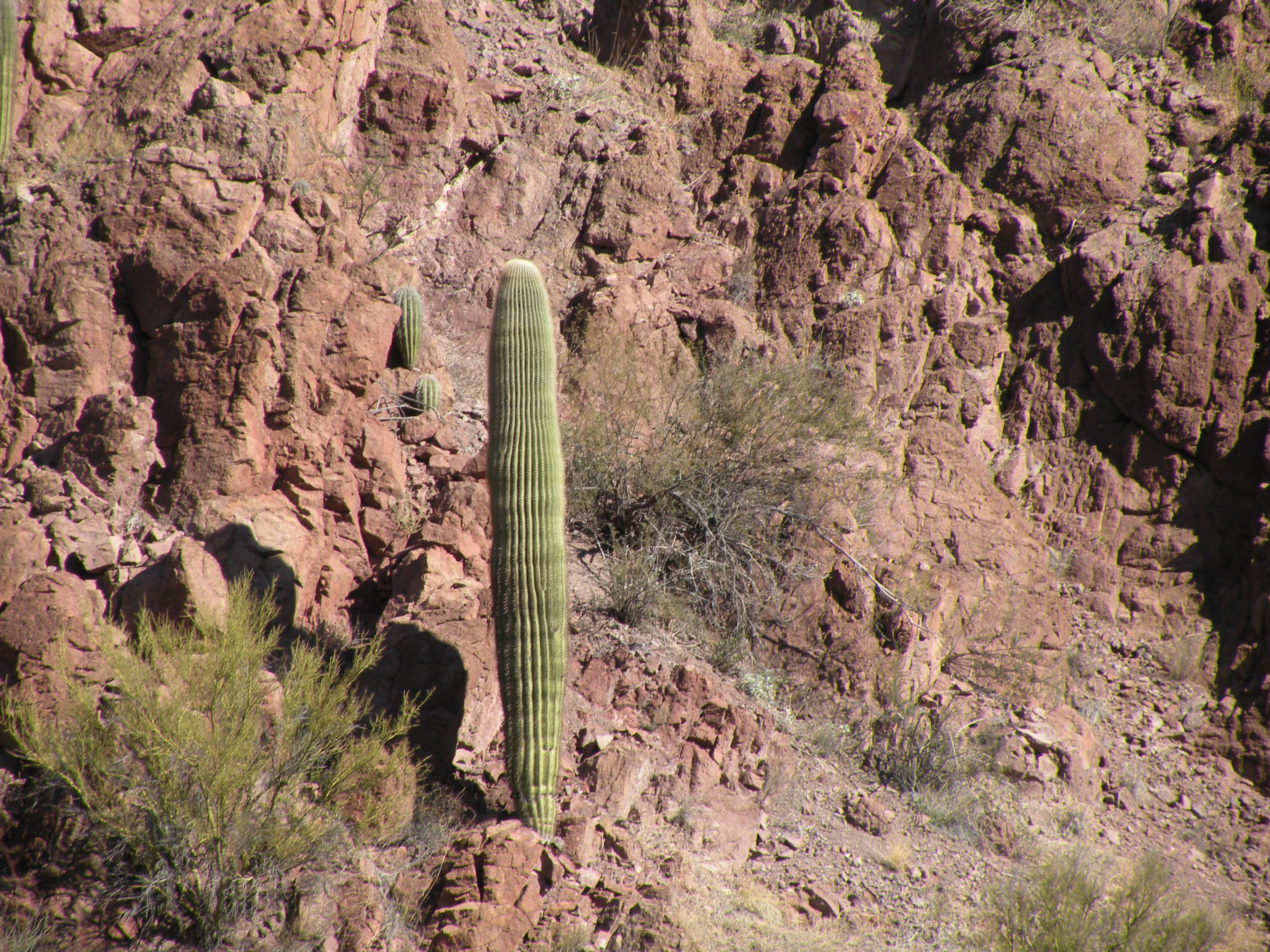
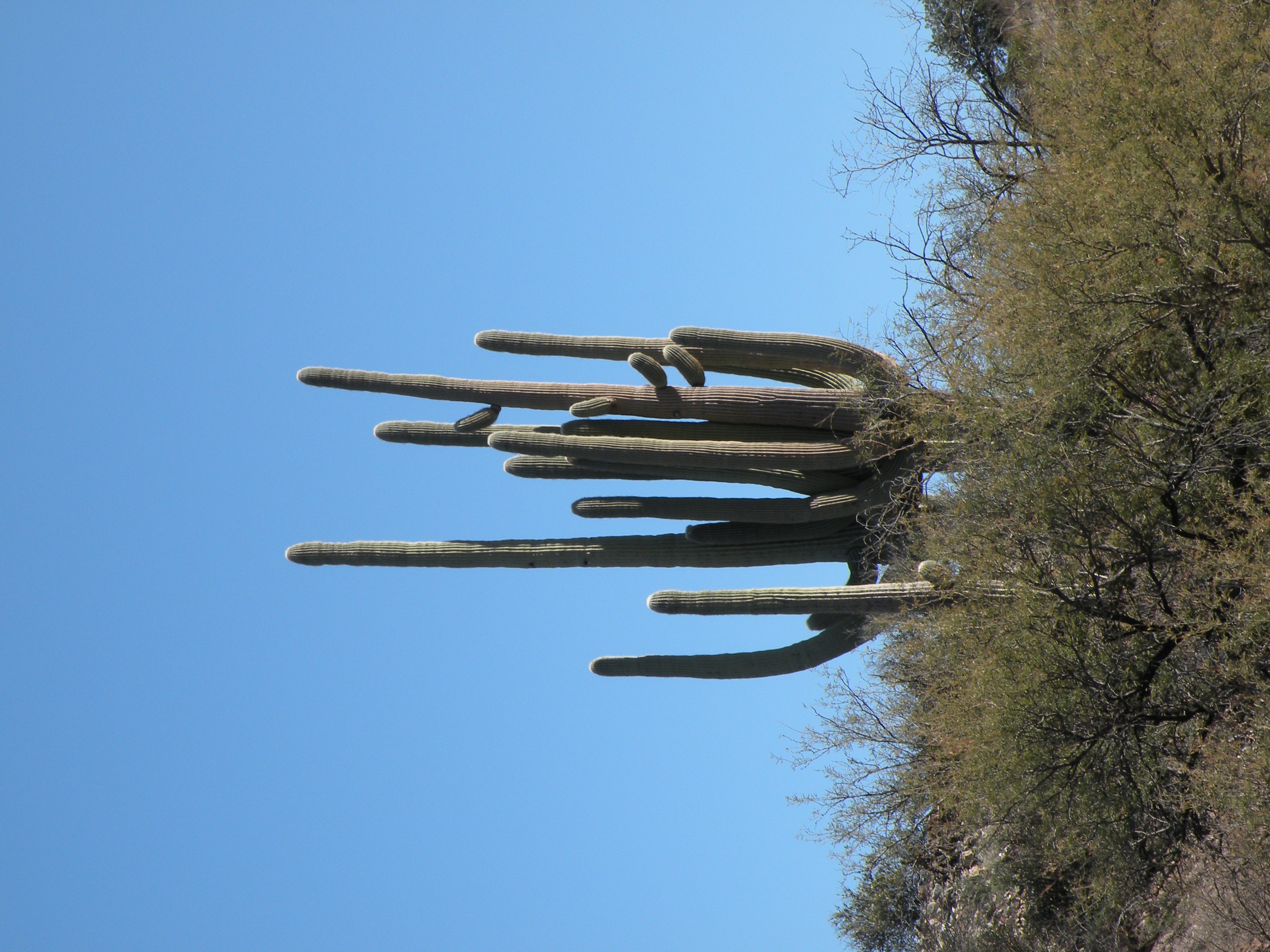
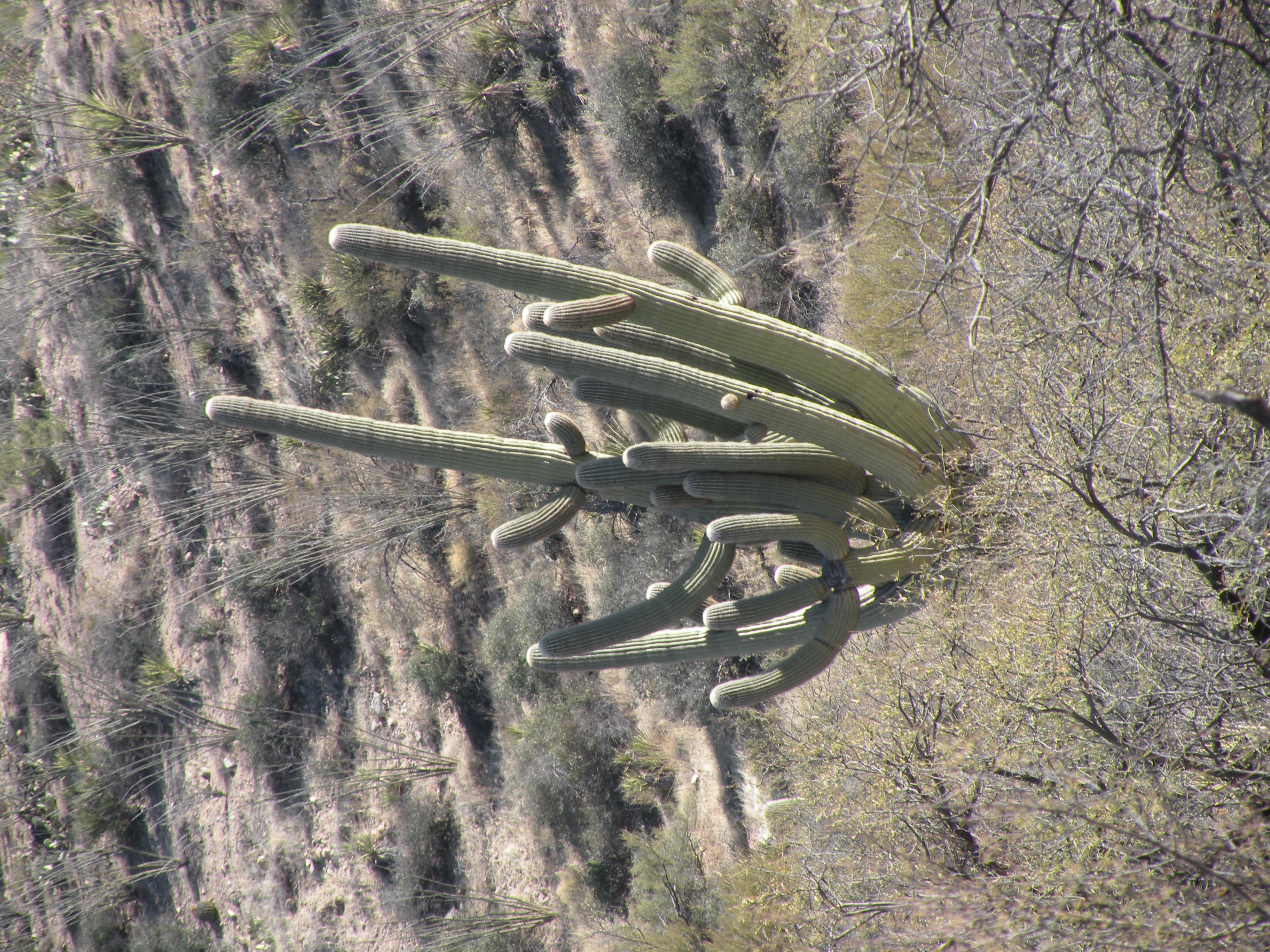
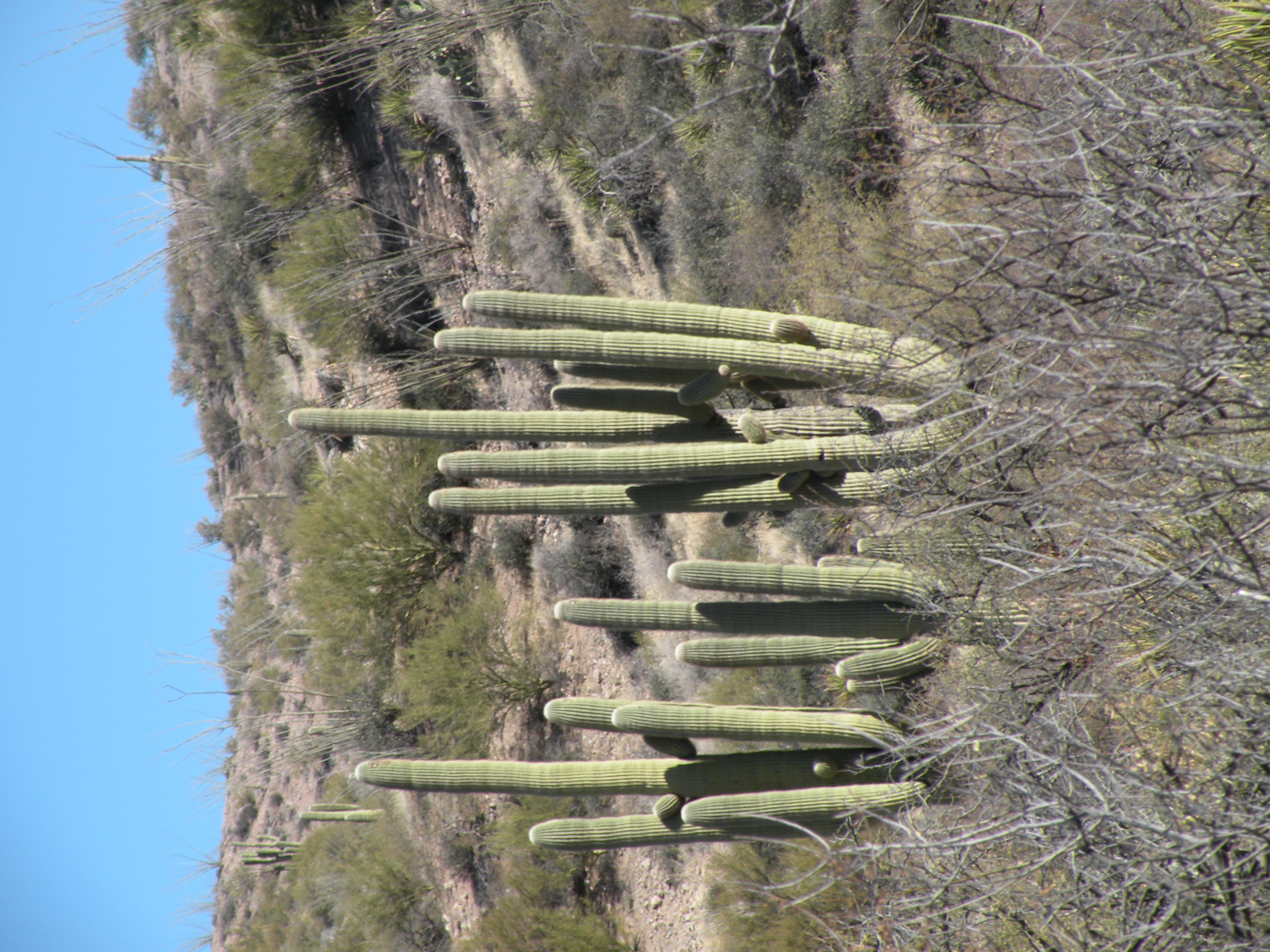
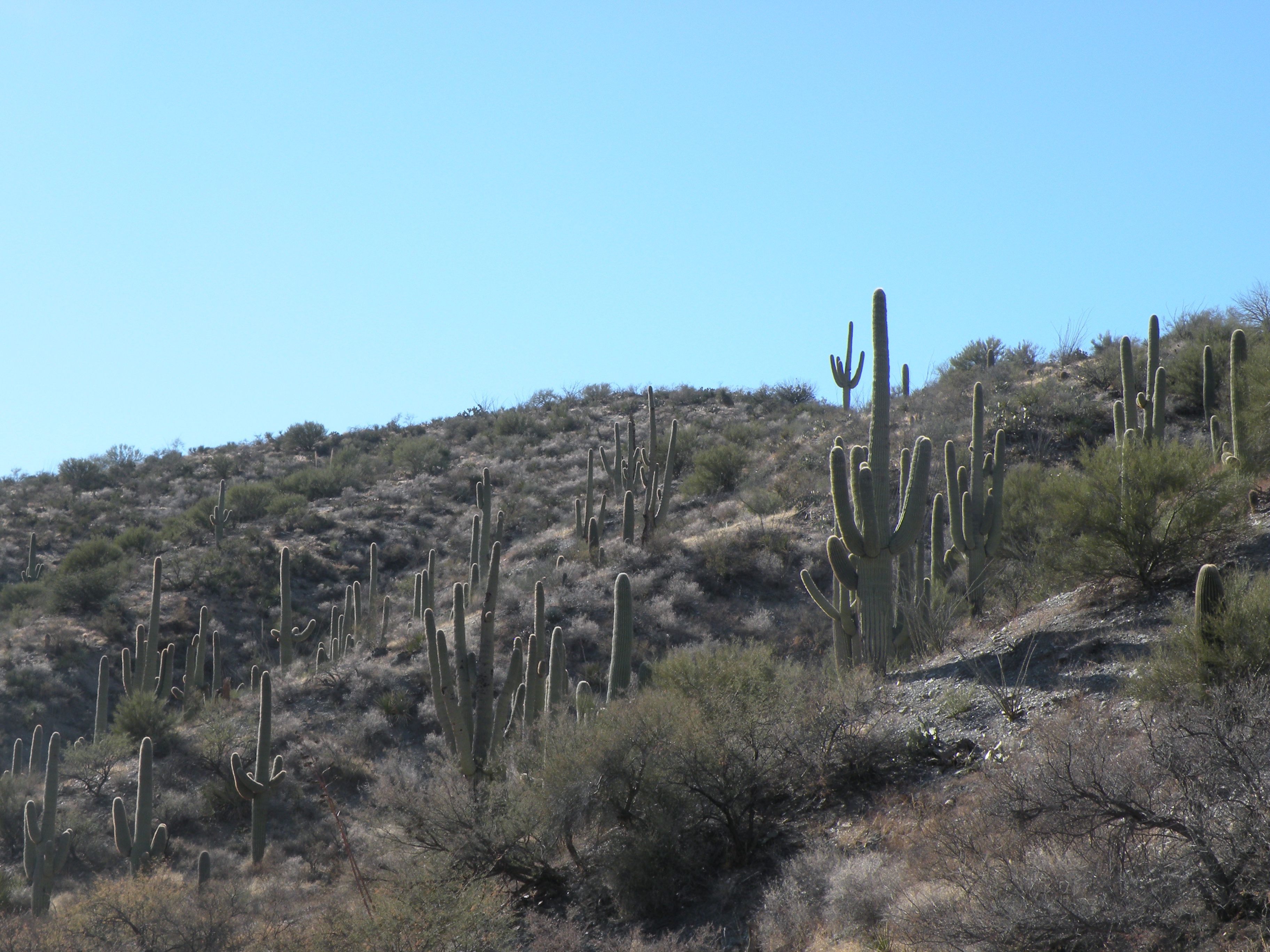
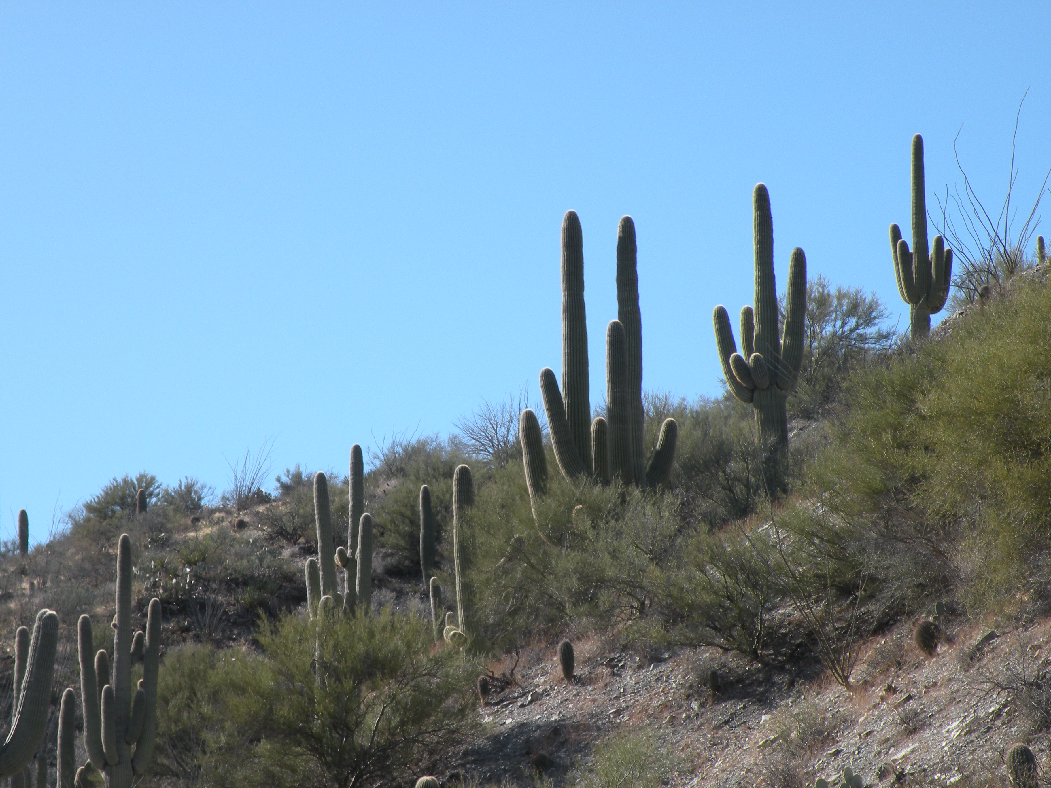
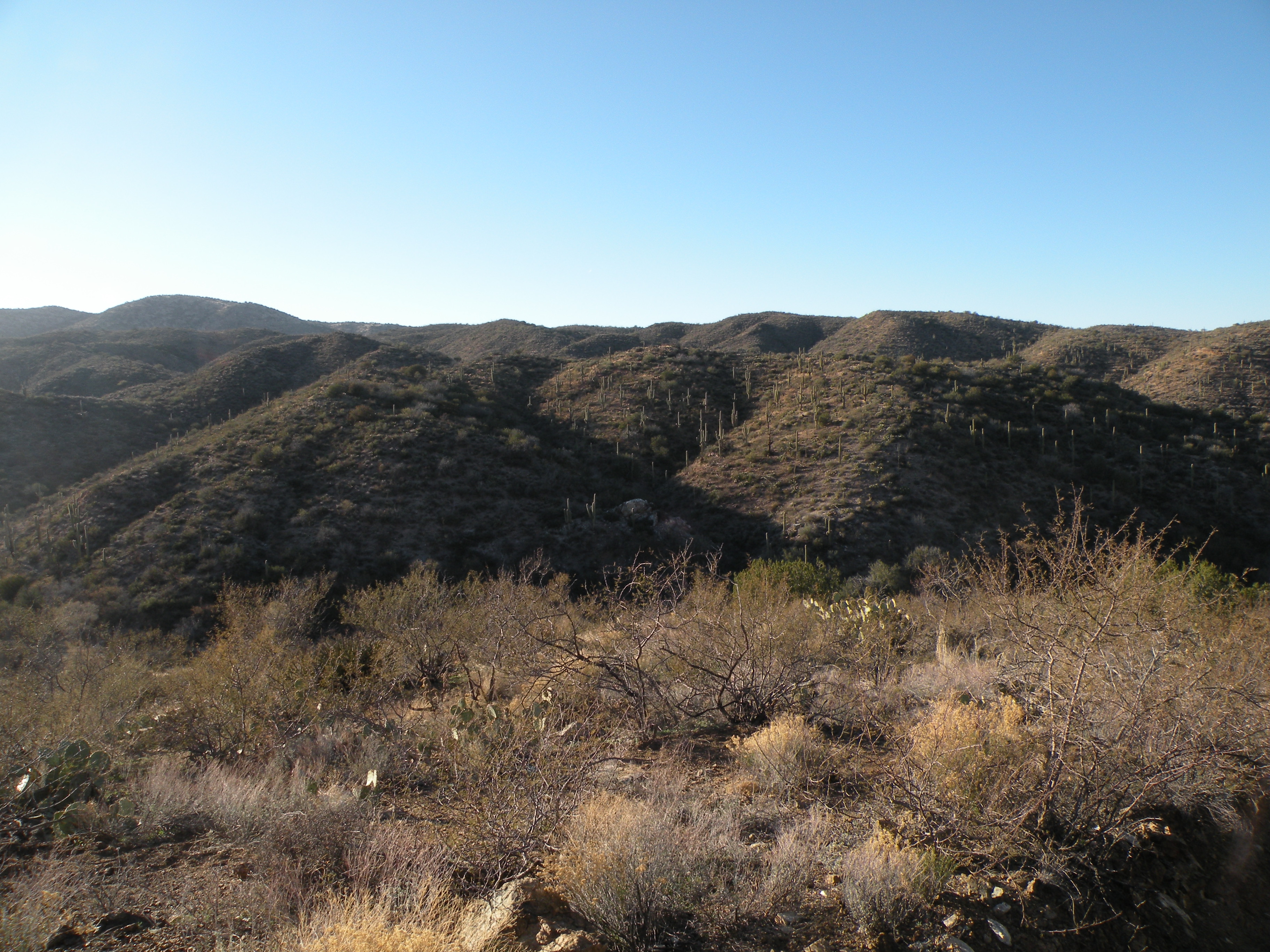
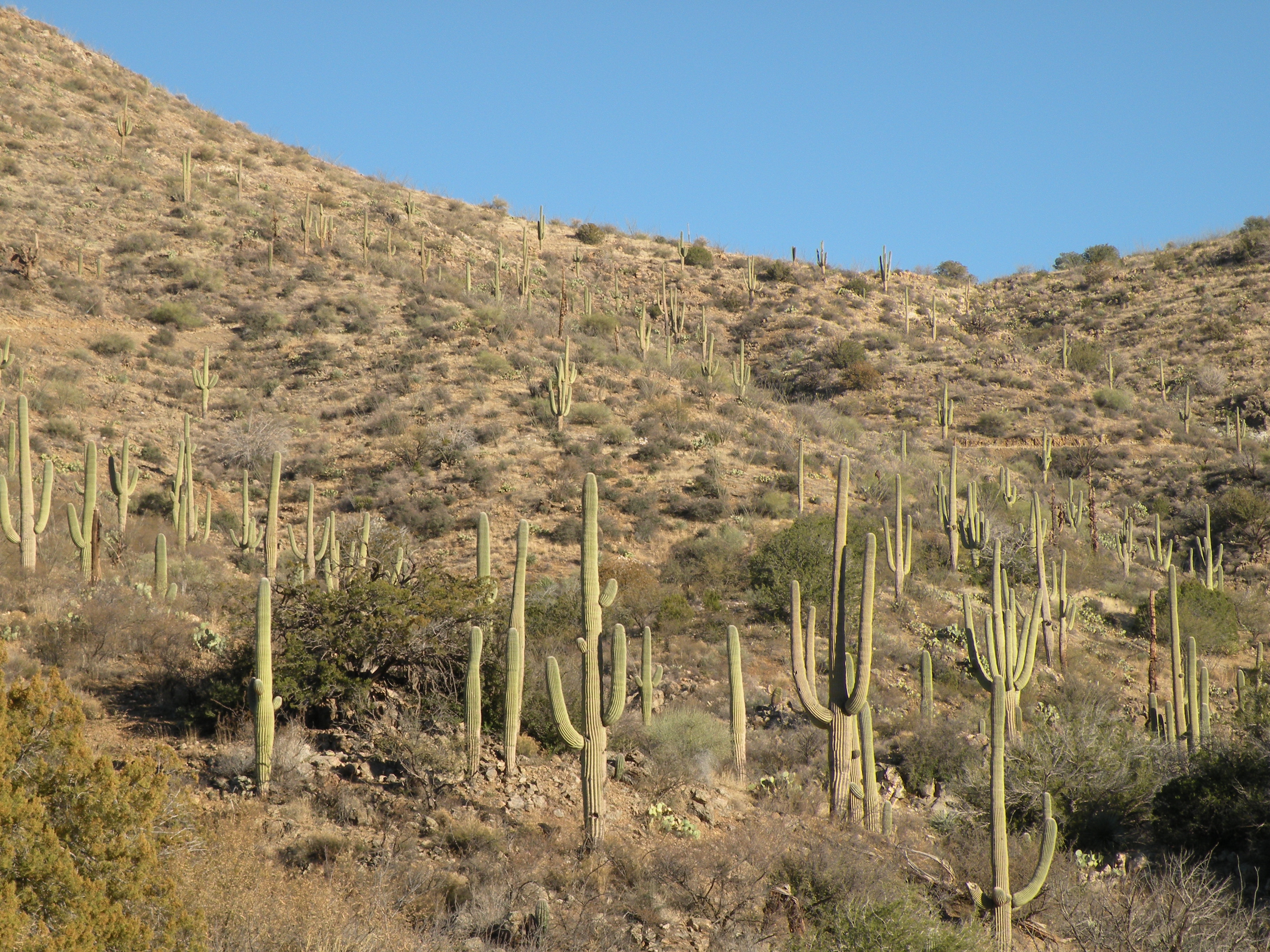
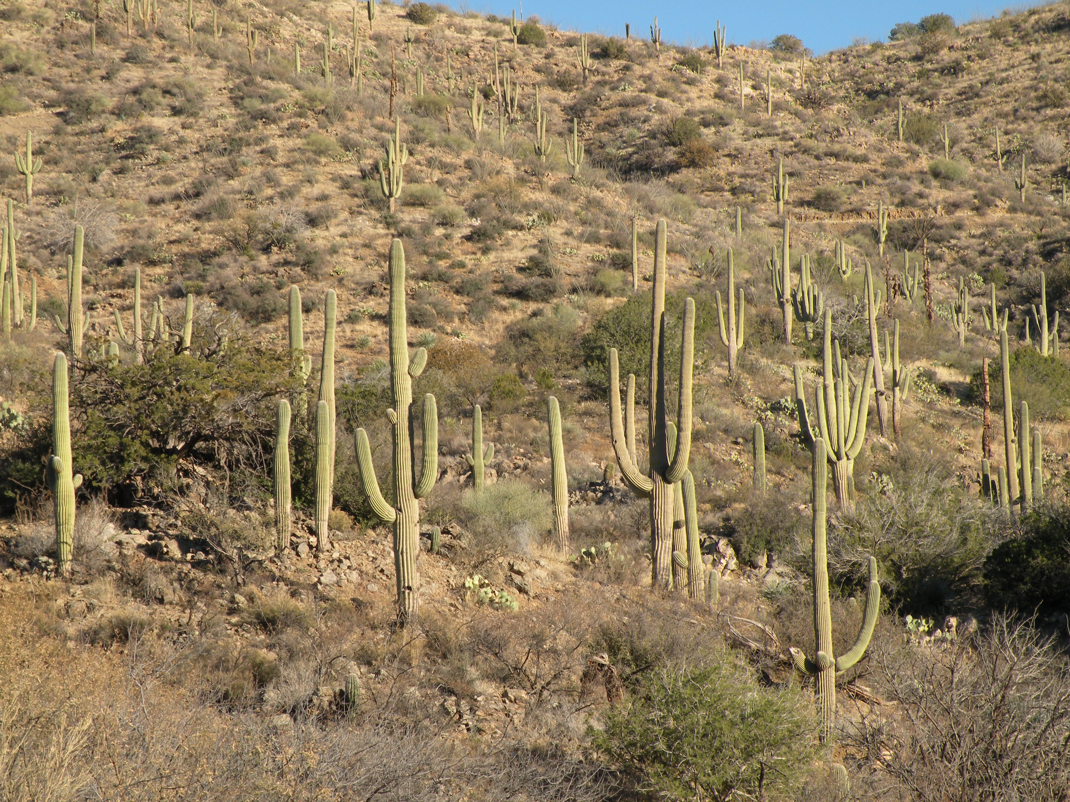
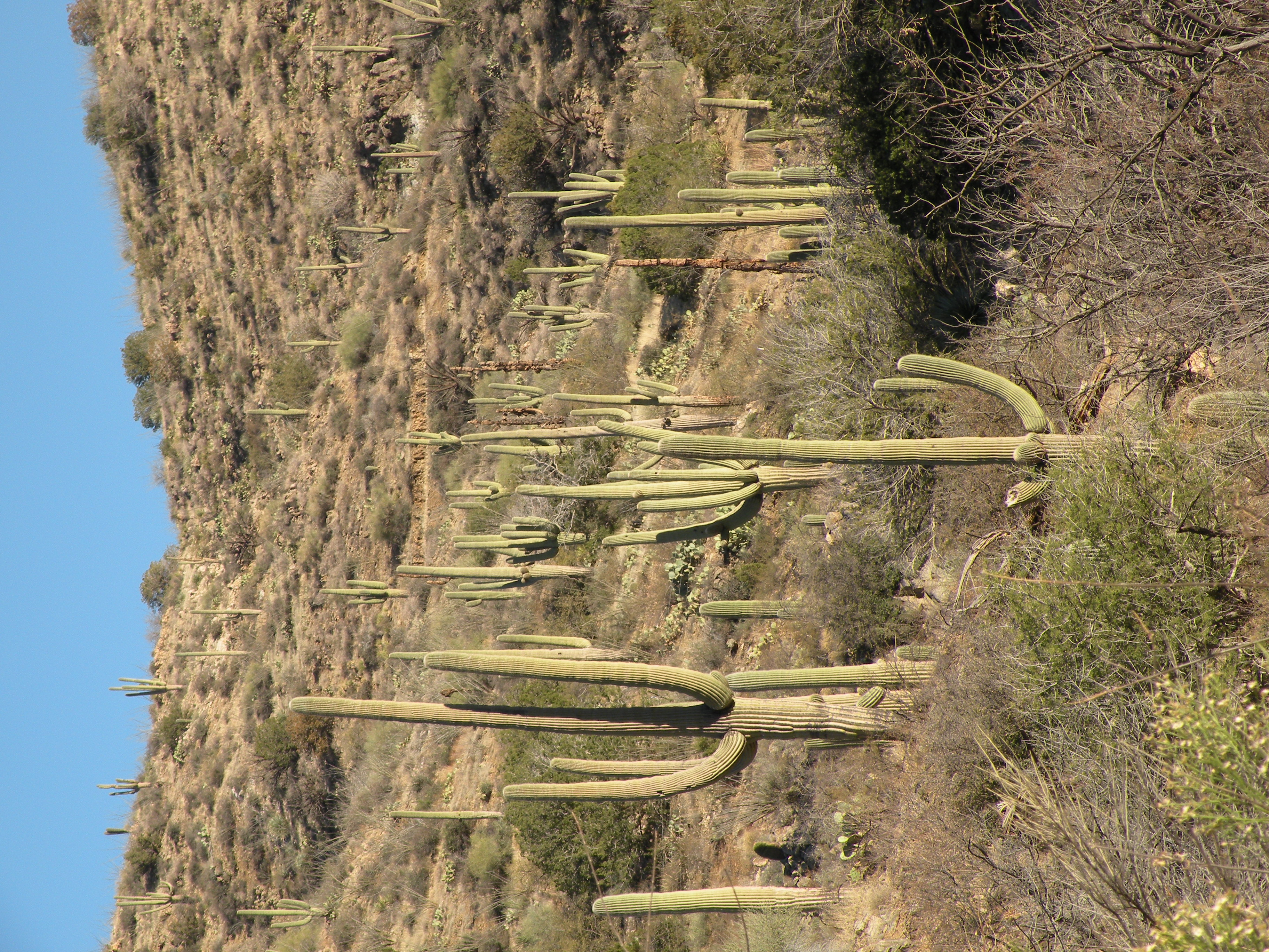
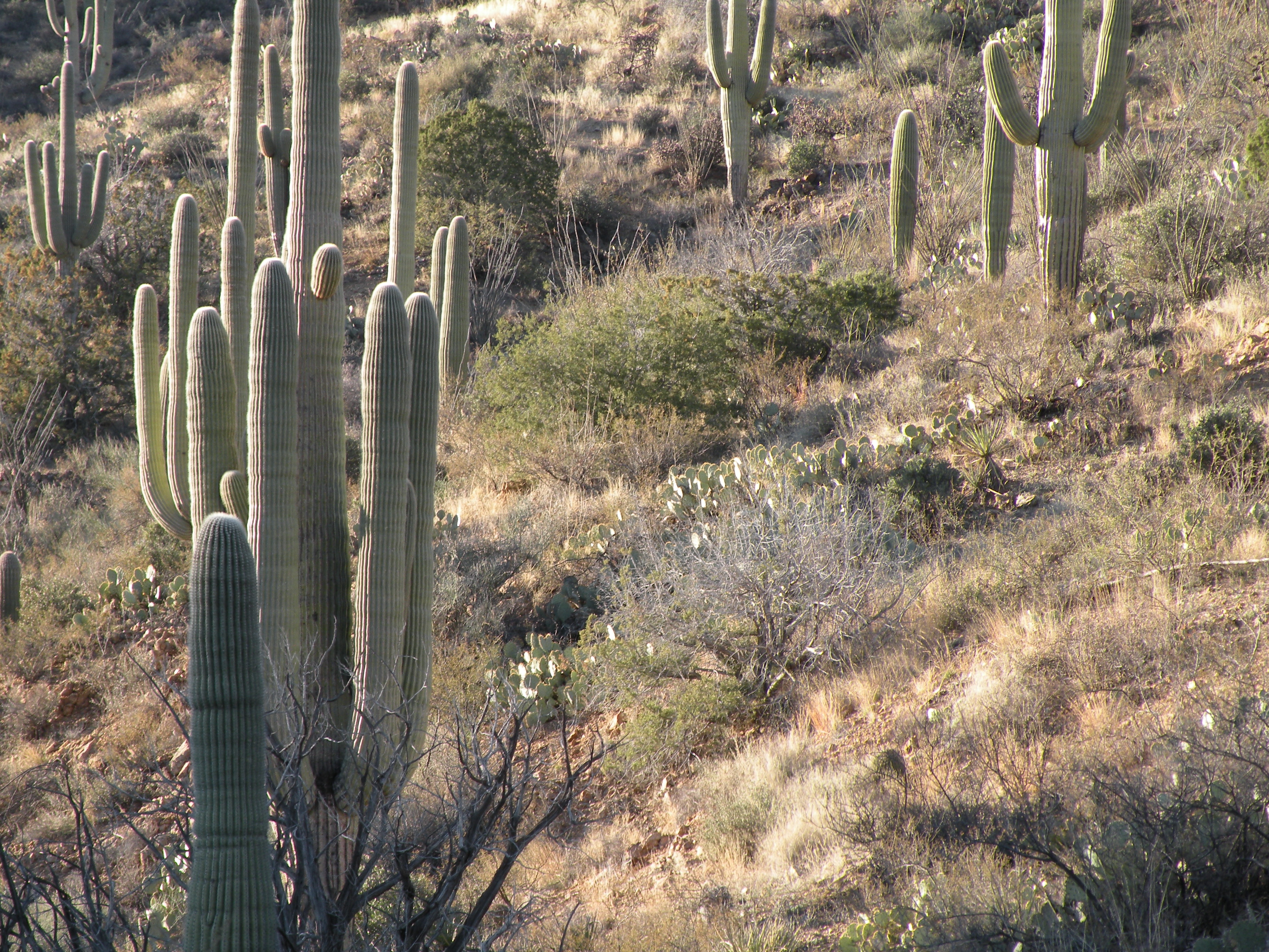
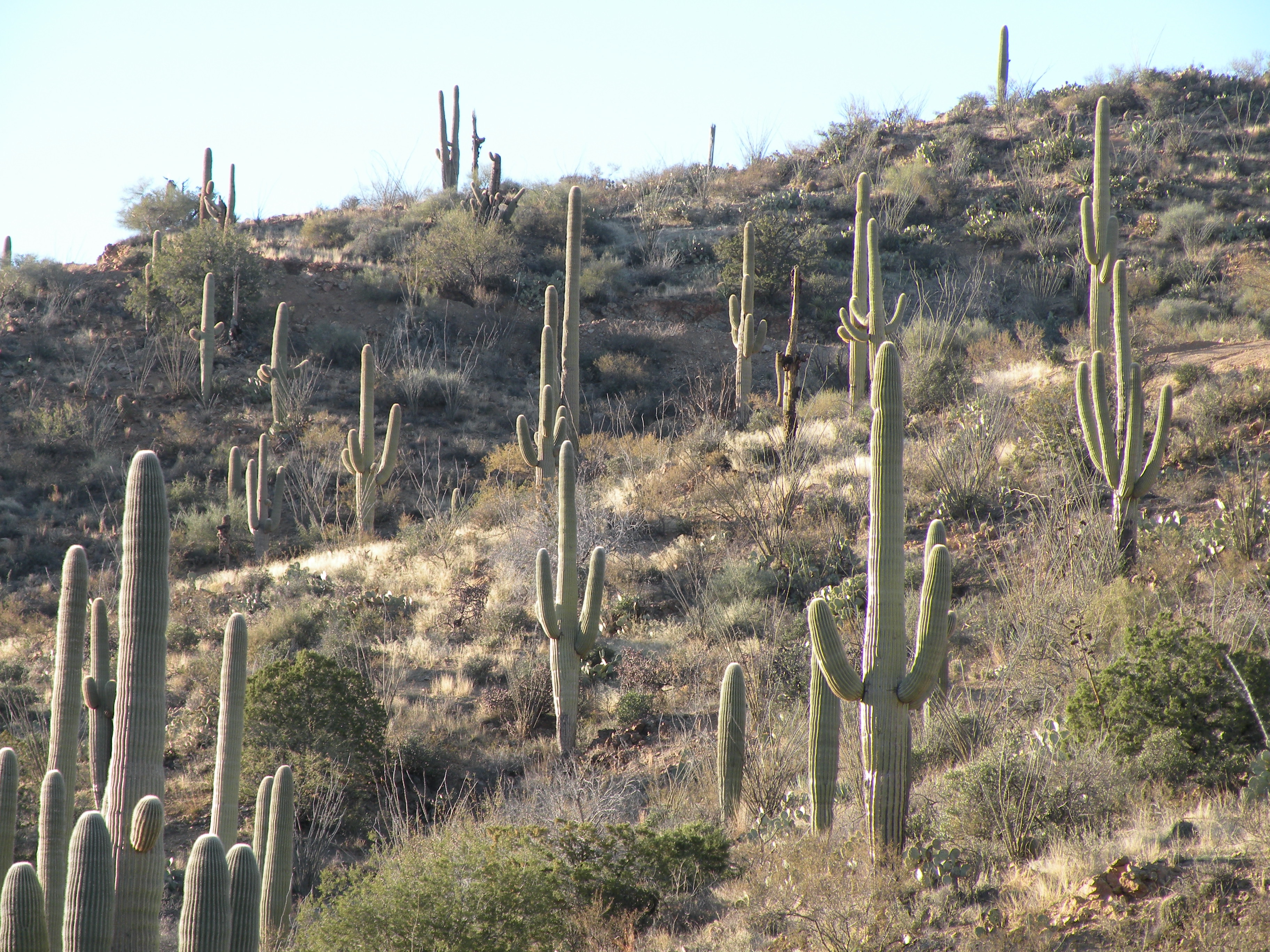
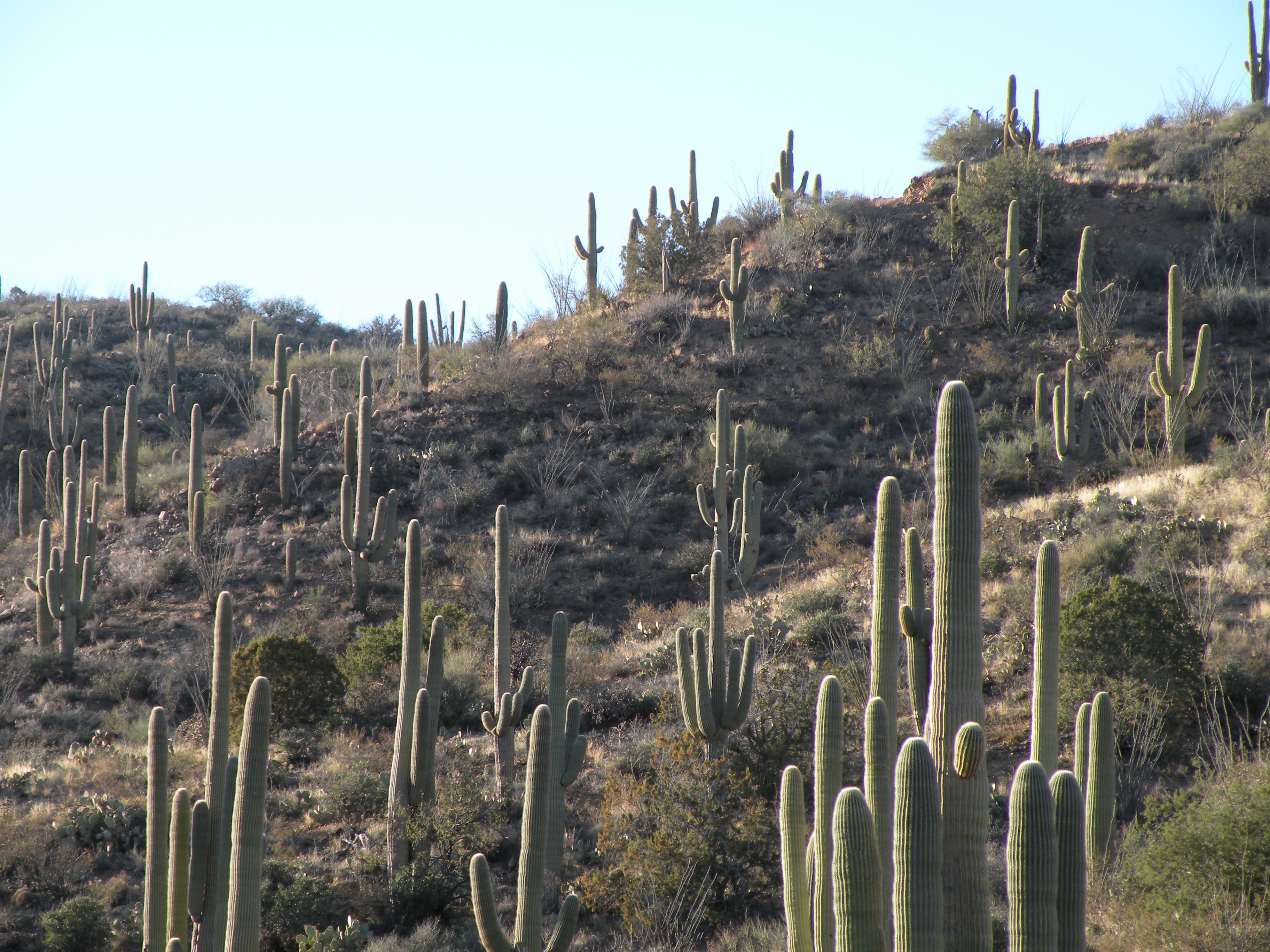
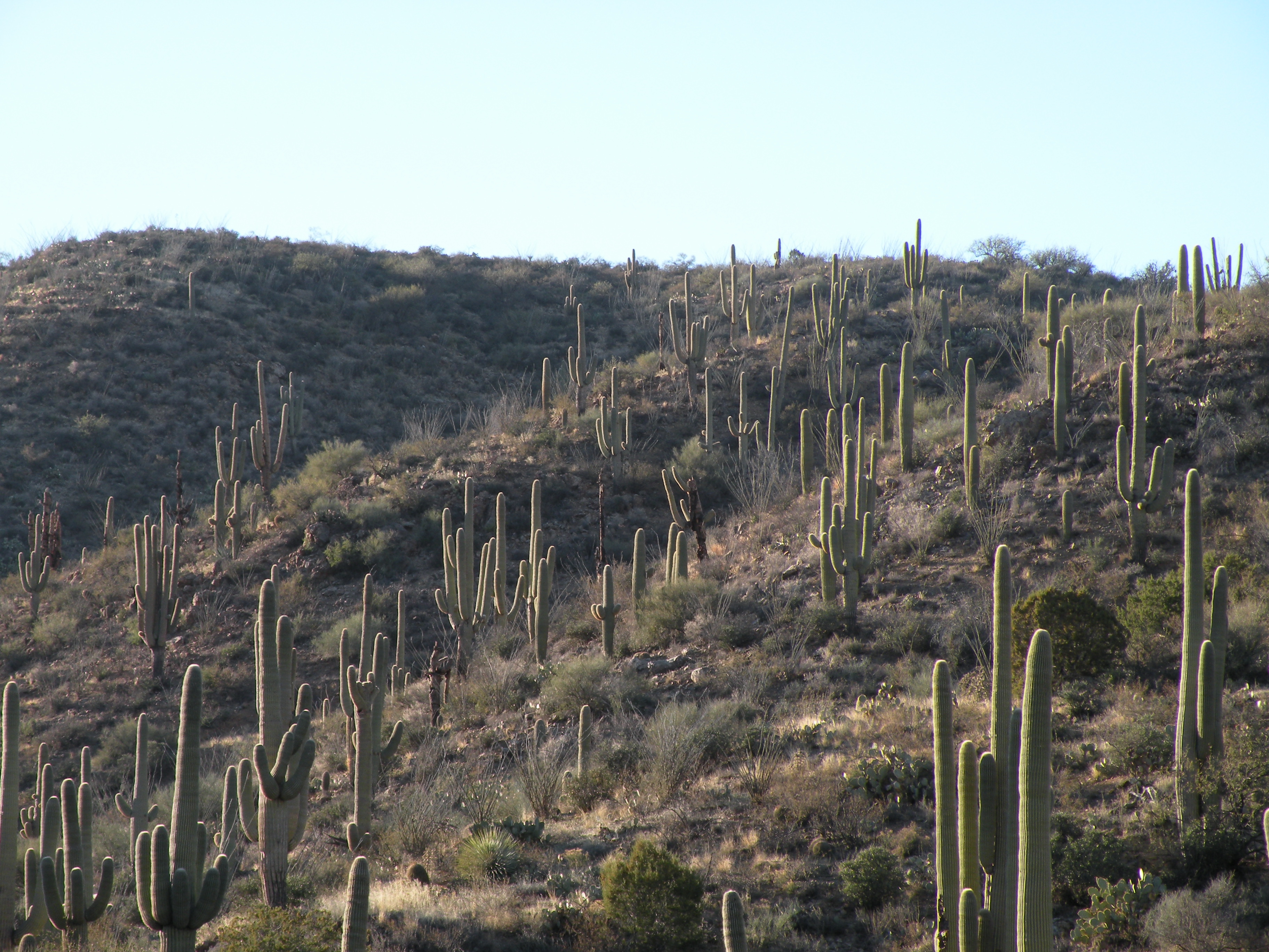
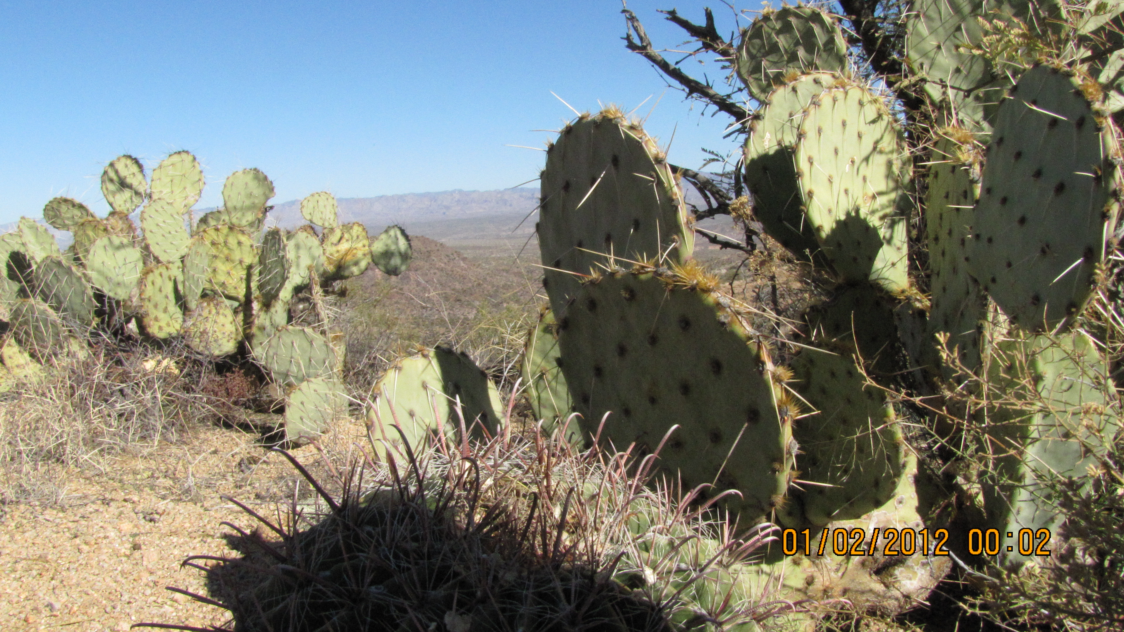
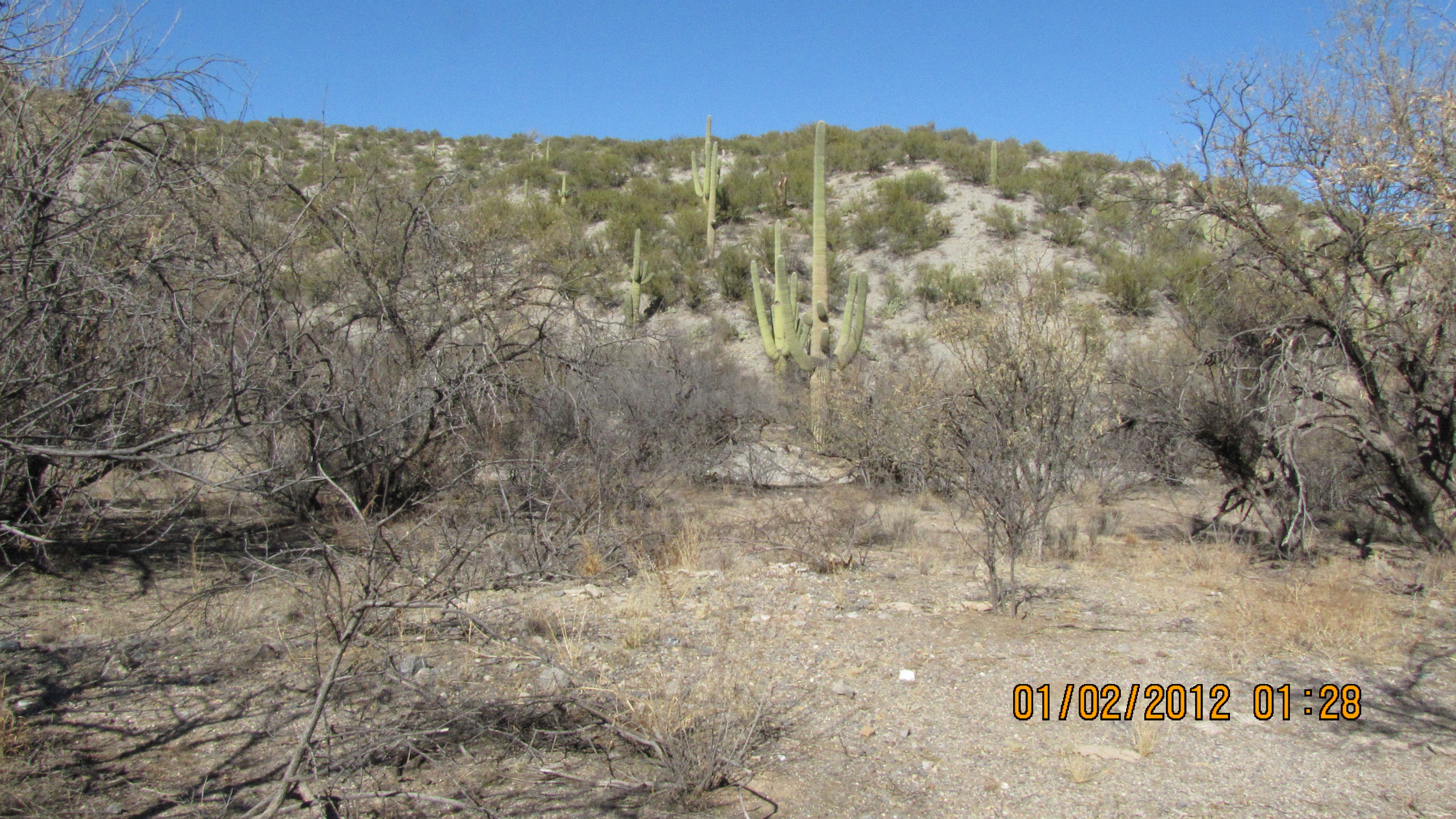
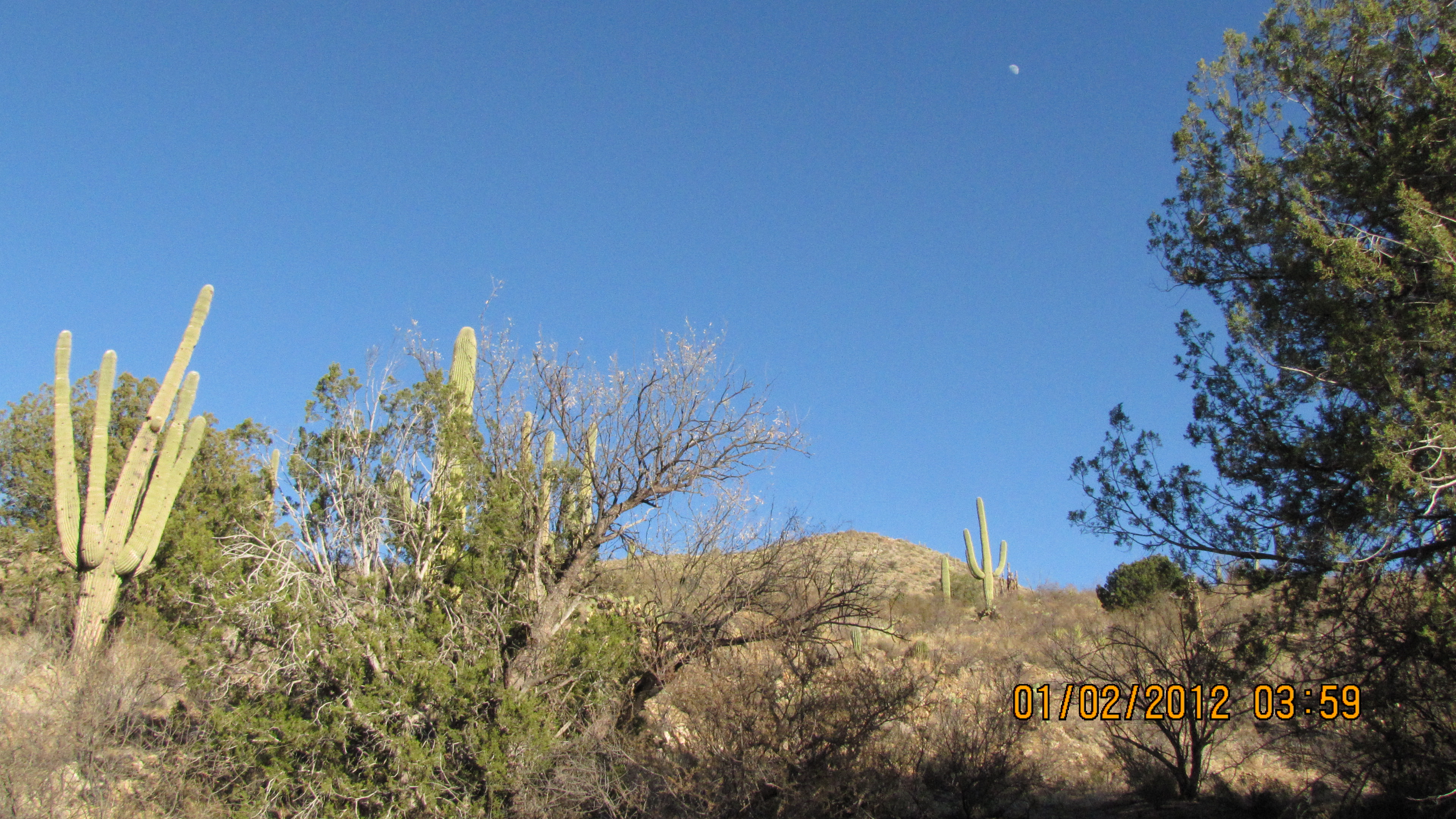
Espiritu is very scenic from above and below. It has one of my favorite saquaro stands along the west entrance road. It was interesting and sad to see that in some areas as many as 10% of the saquaros are rotting in place - apparently killed by the hard freeze in February 2011.
Note that the road into Espiritu (State Road D5) has been graded and can be accessed in a stock 4x4 from Redington Road. This access road from the west is steep, but not as steep as the one on the other side. So don't go down any hill that you aren't willing to climb on the way out.

.

.
.
.
.
.

.
.

.

.
.

.

.
.

.
.
.
.
.
.
.
.
.
.
.
.
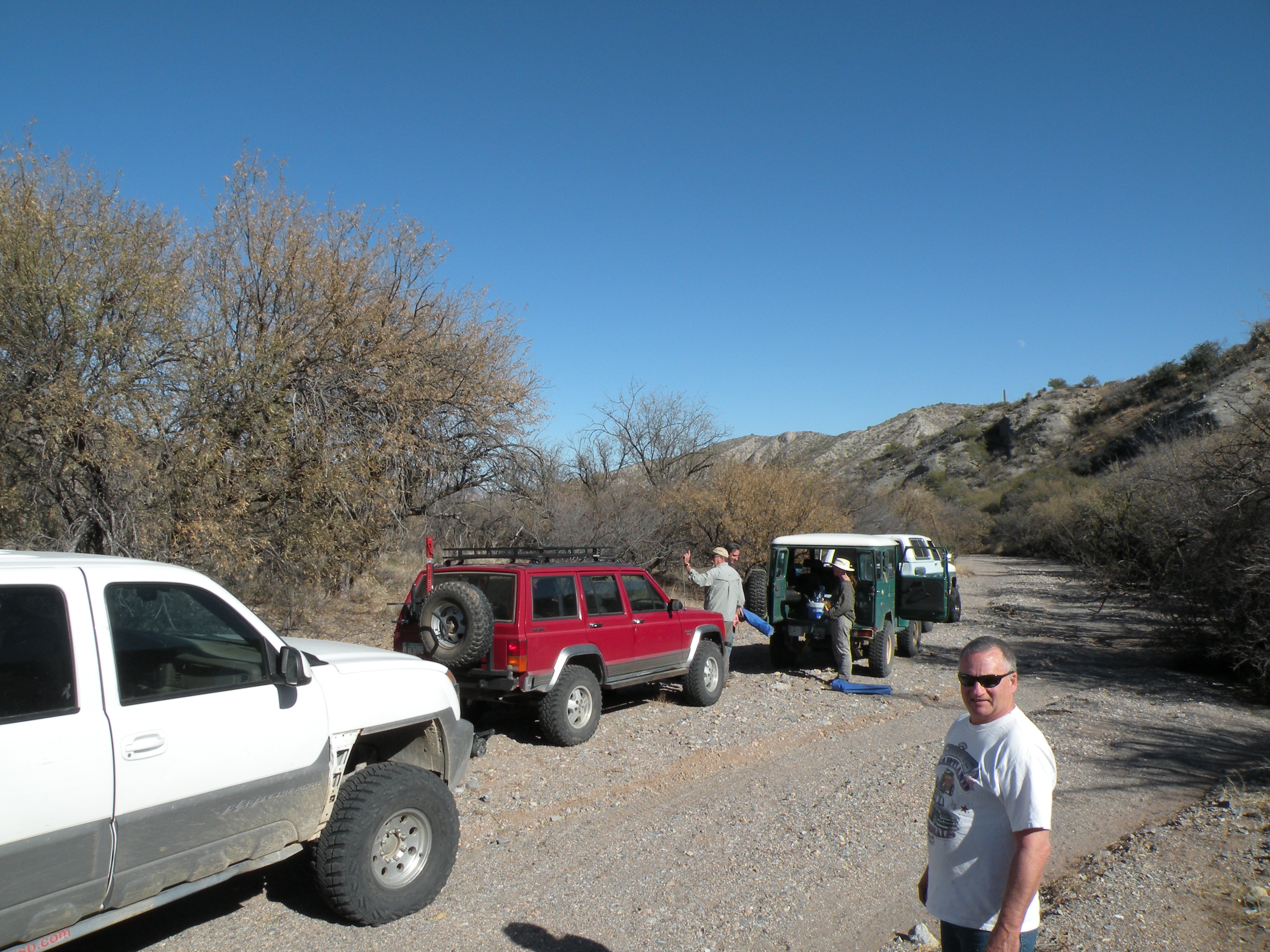
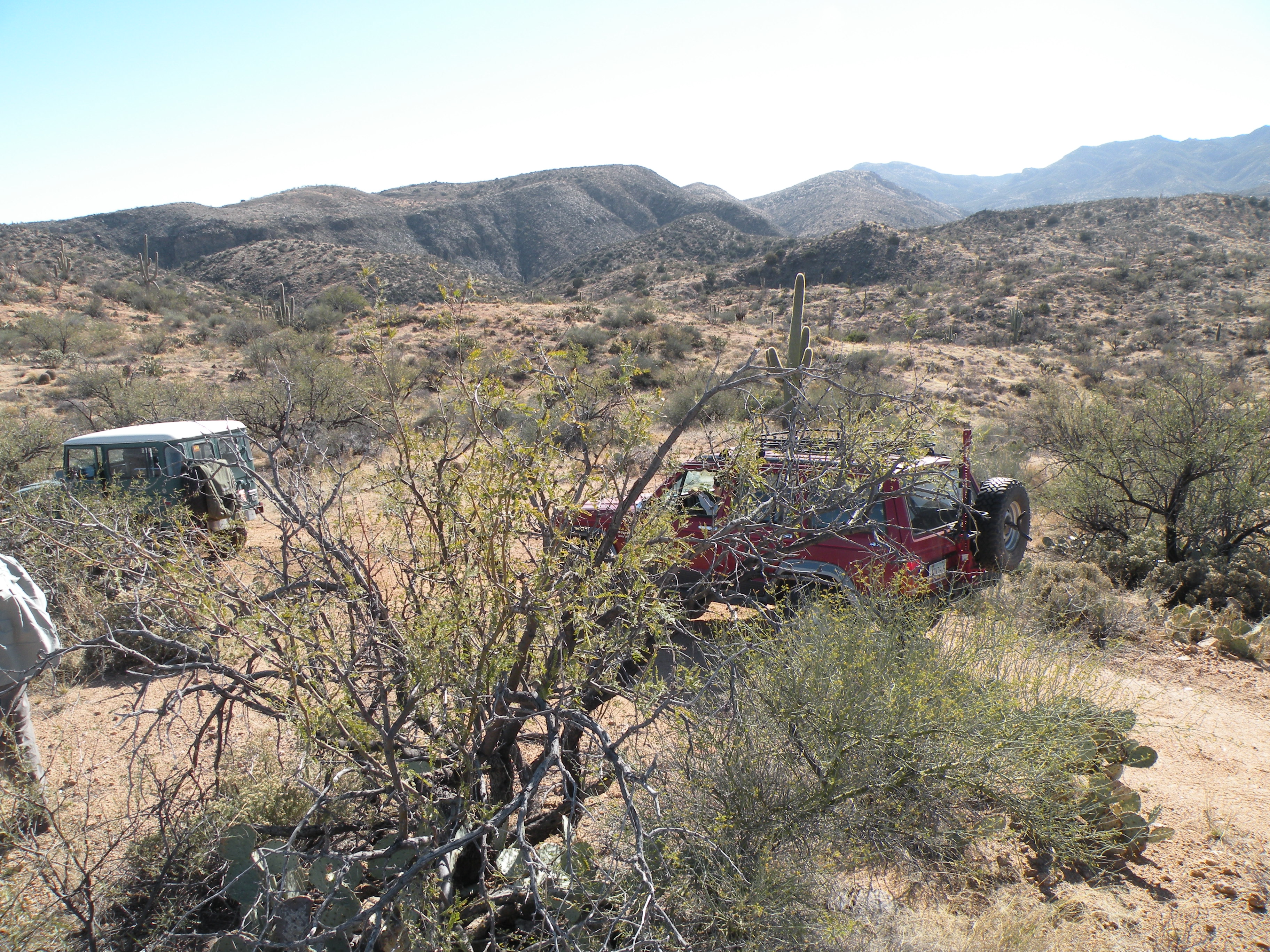
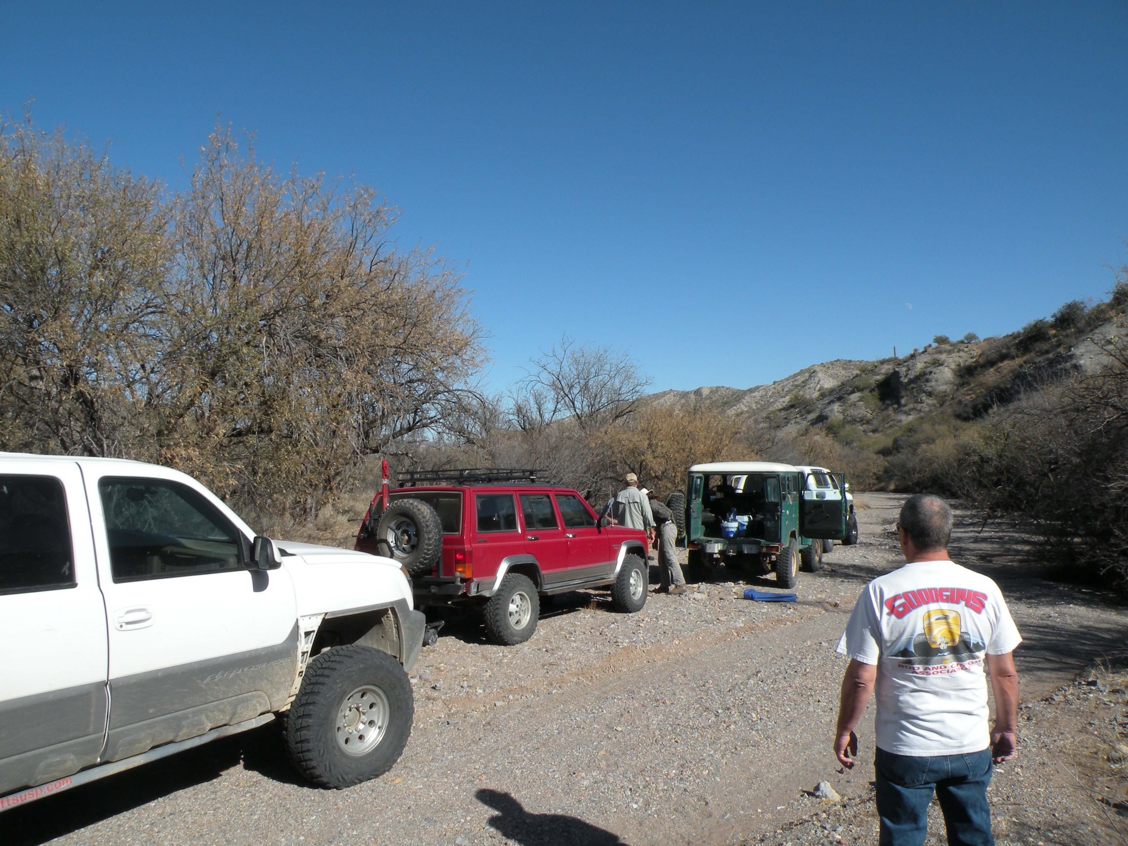
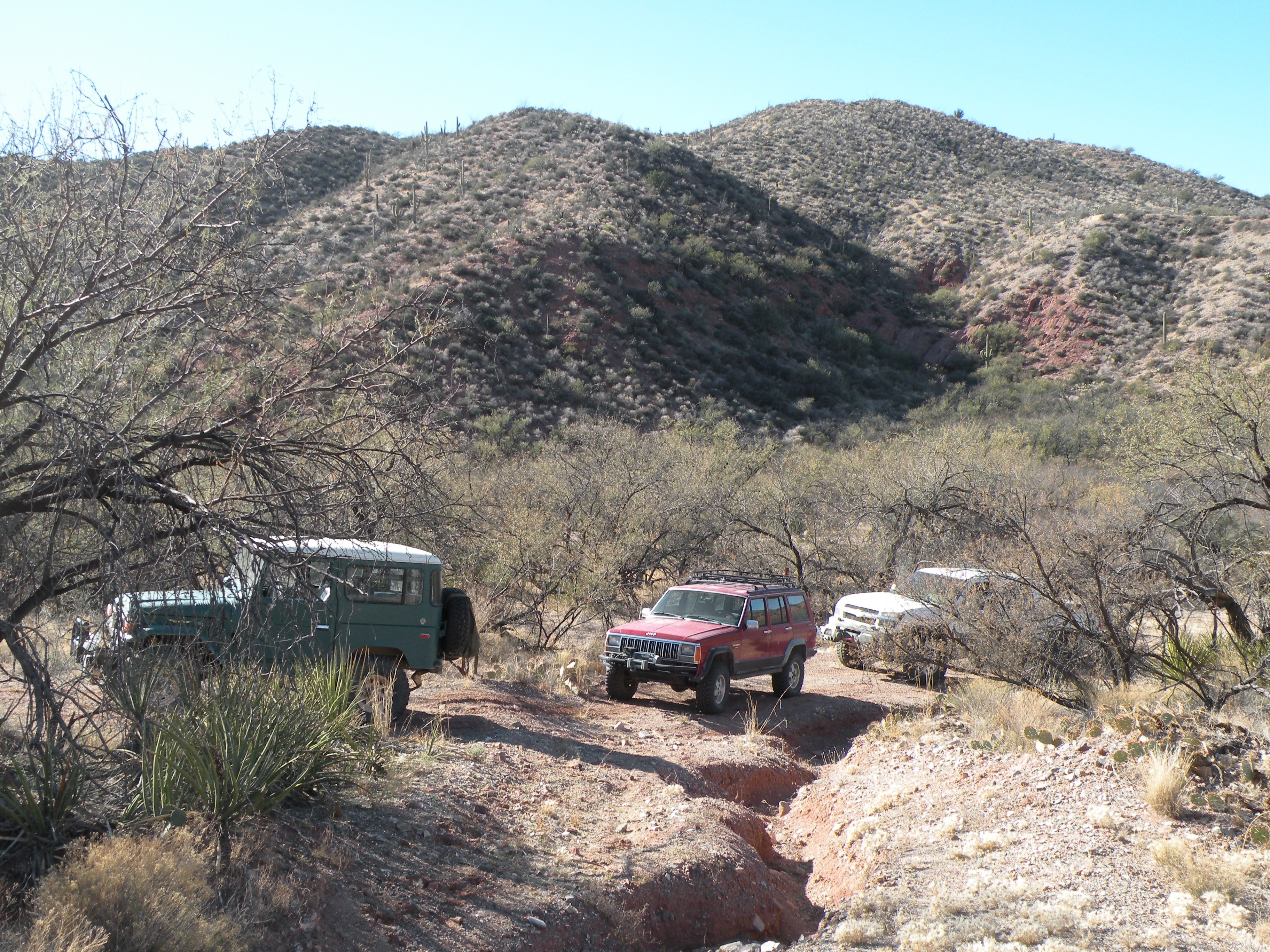
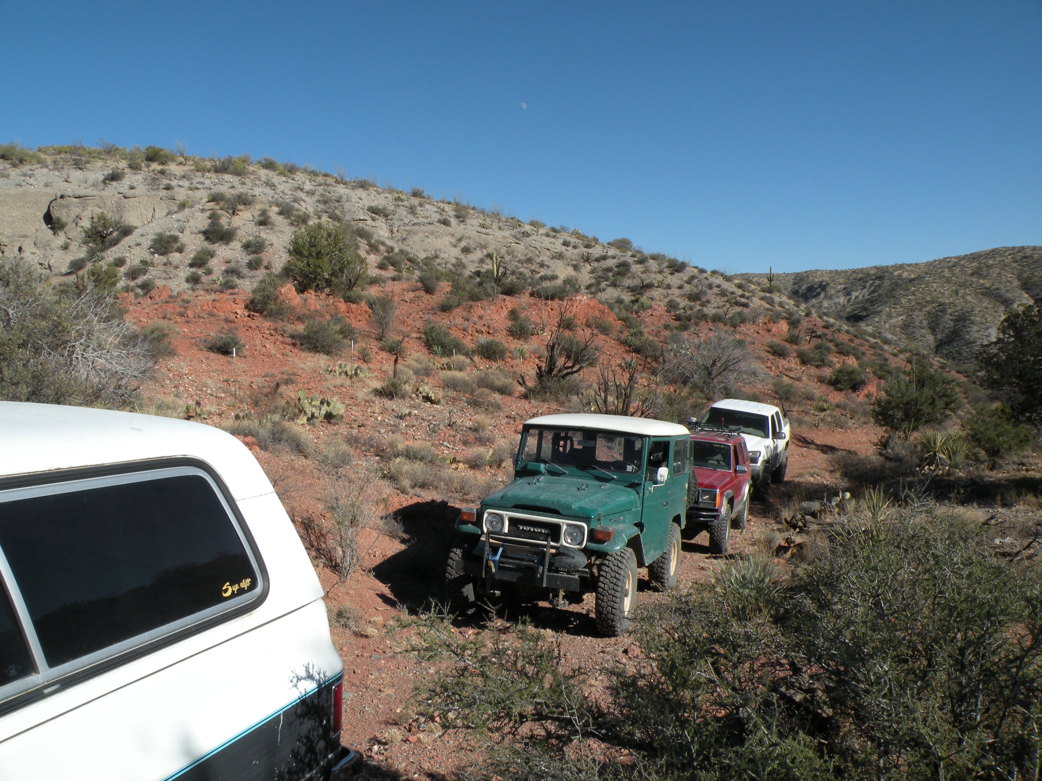
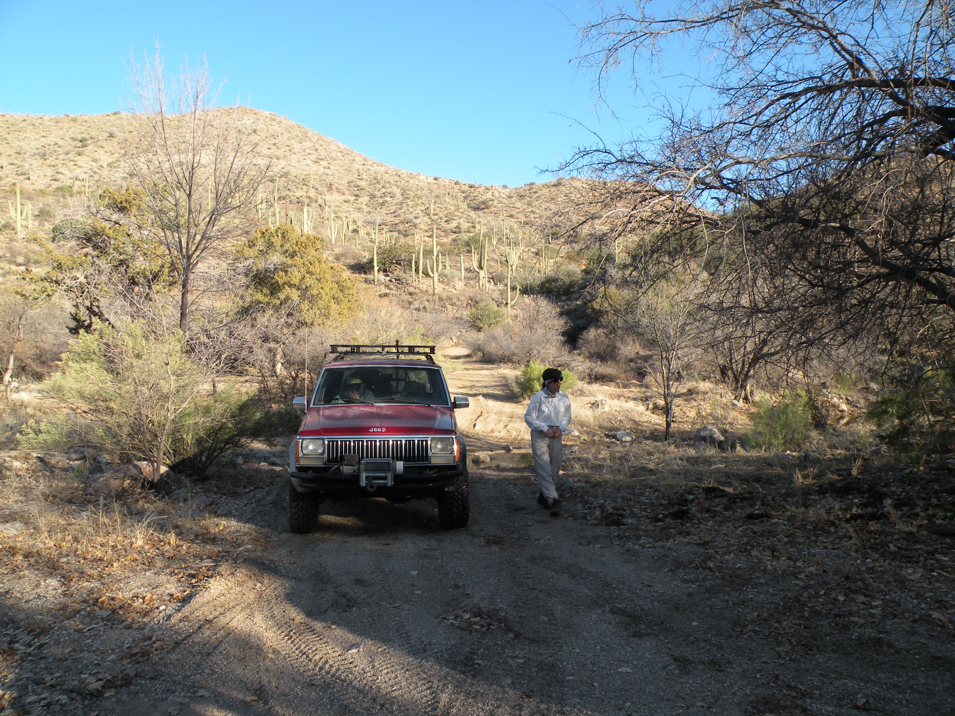
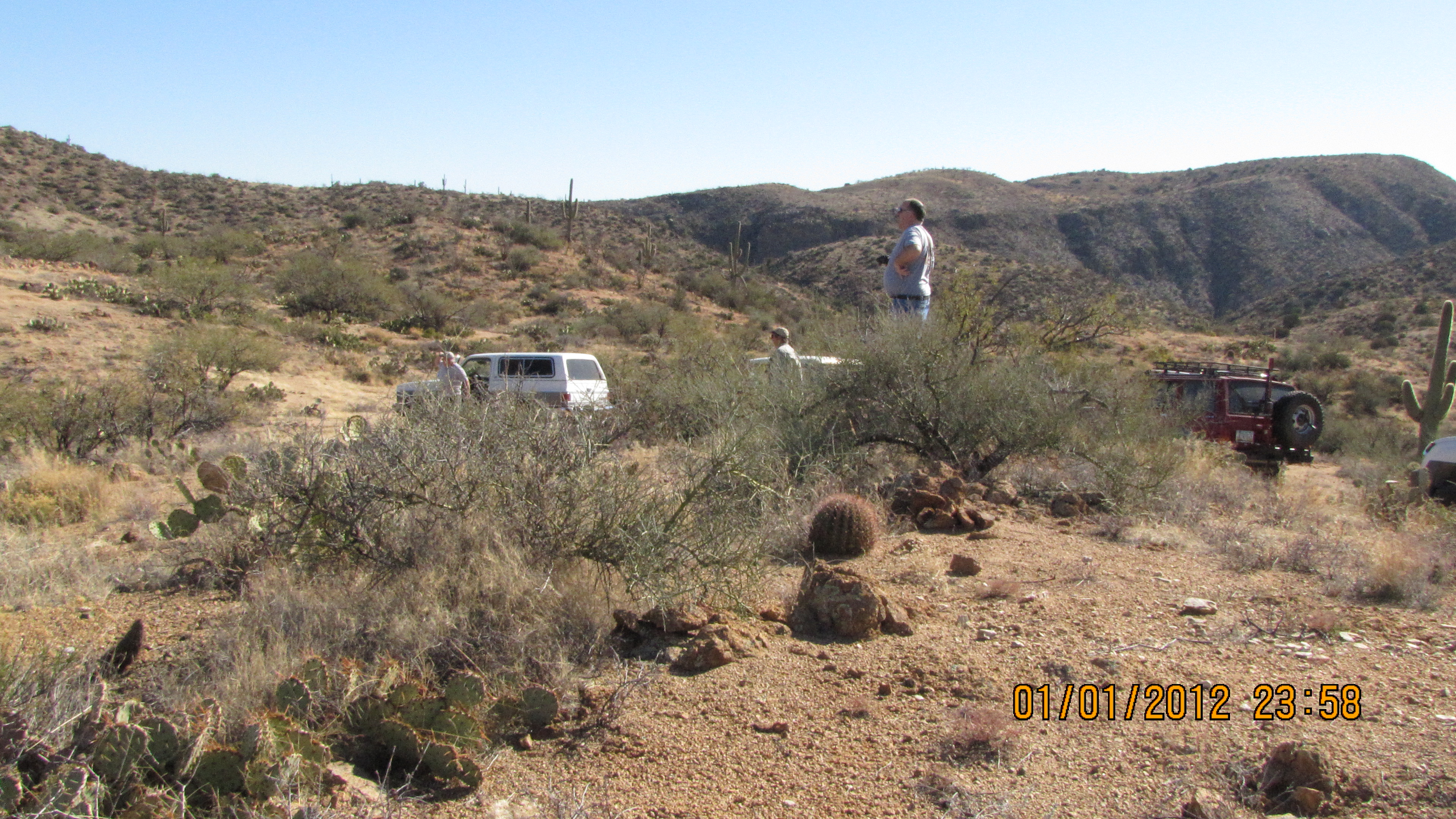
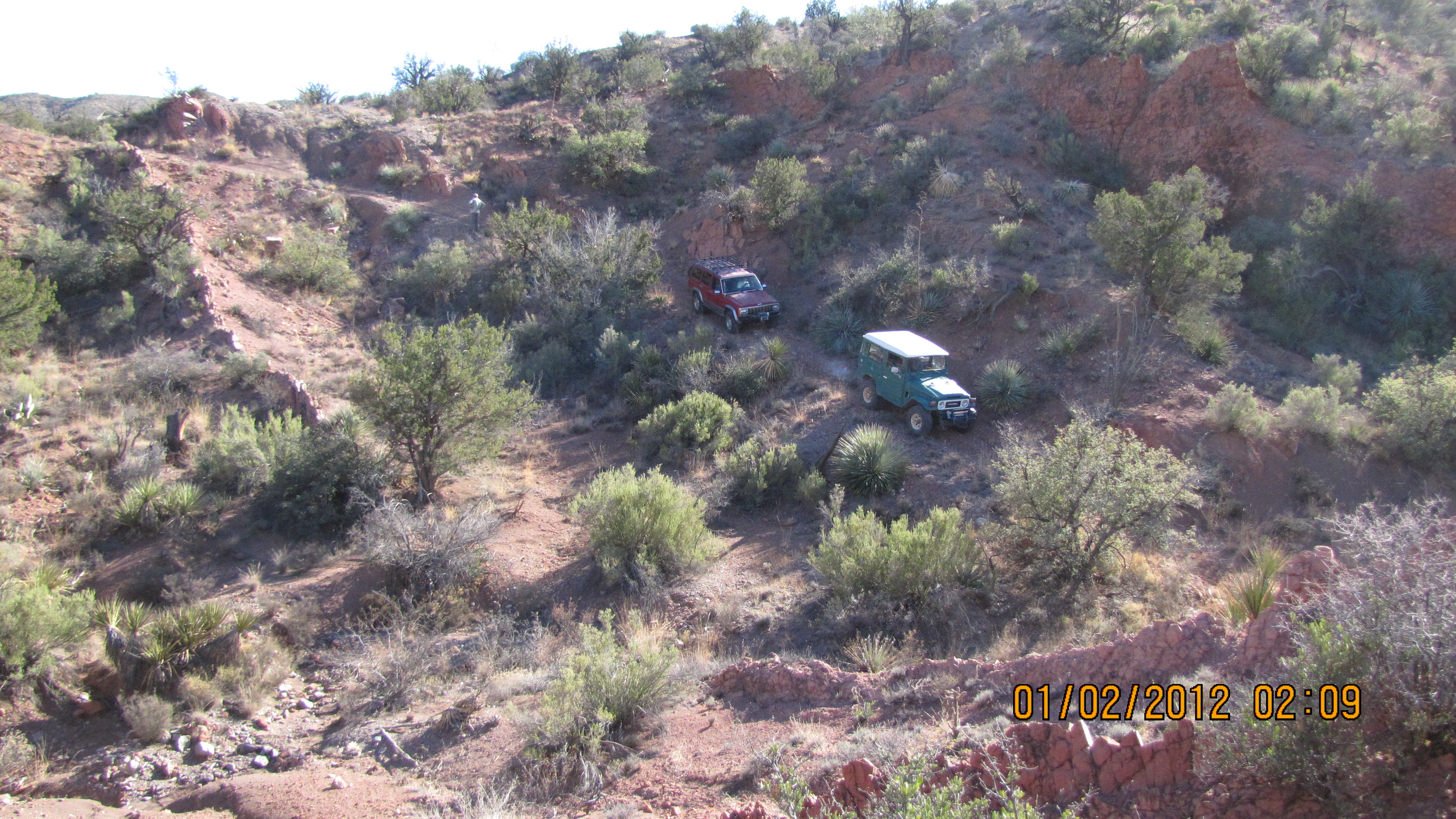
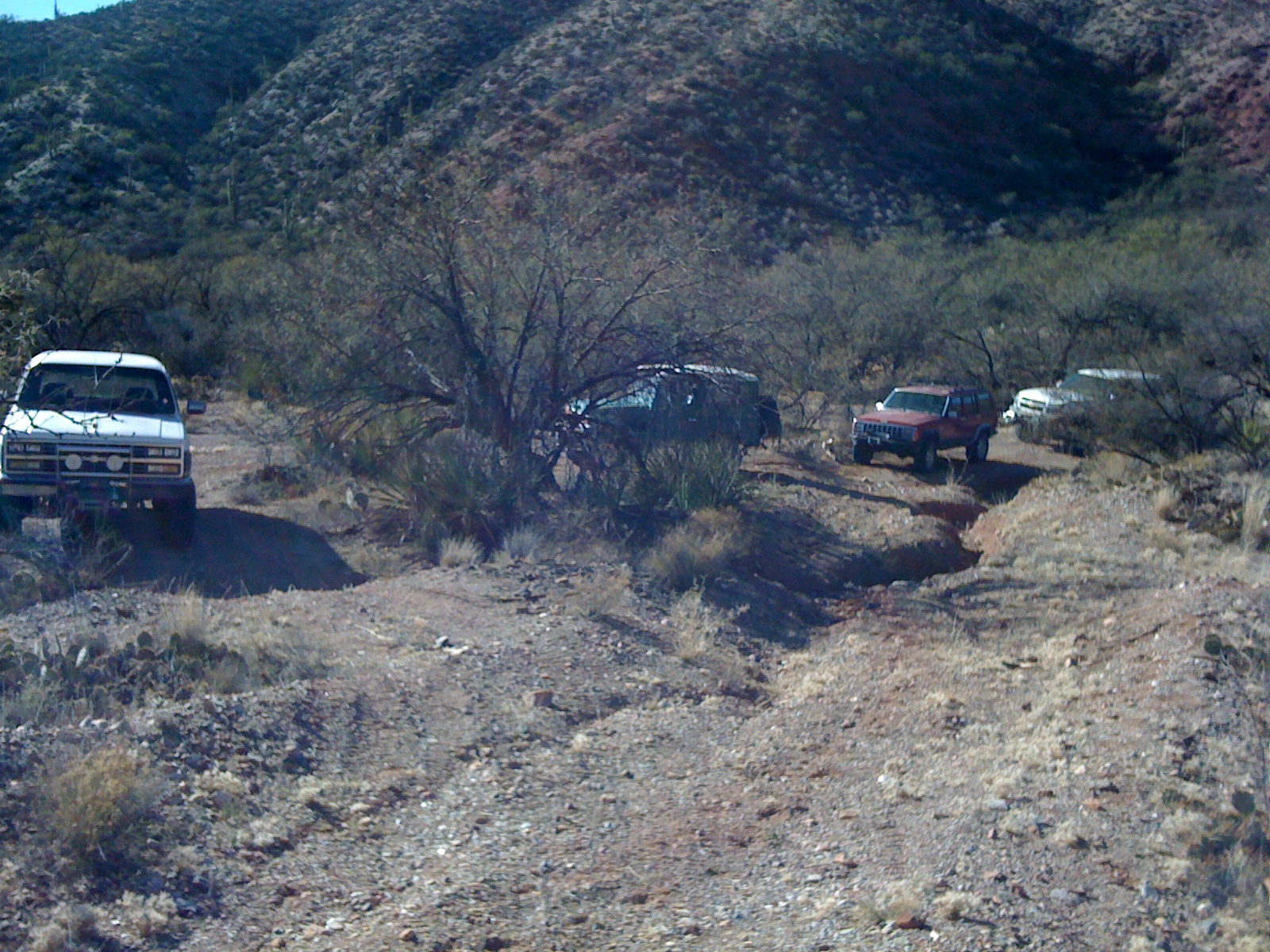
Our lunch spot near the confluence of Canada Atravesada and Roble Canyon.
.
.

.
.
.
.
.
.
.
.
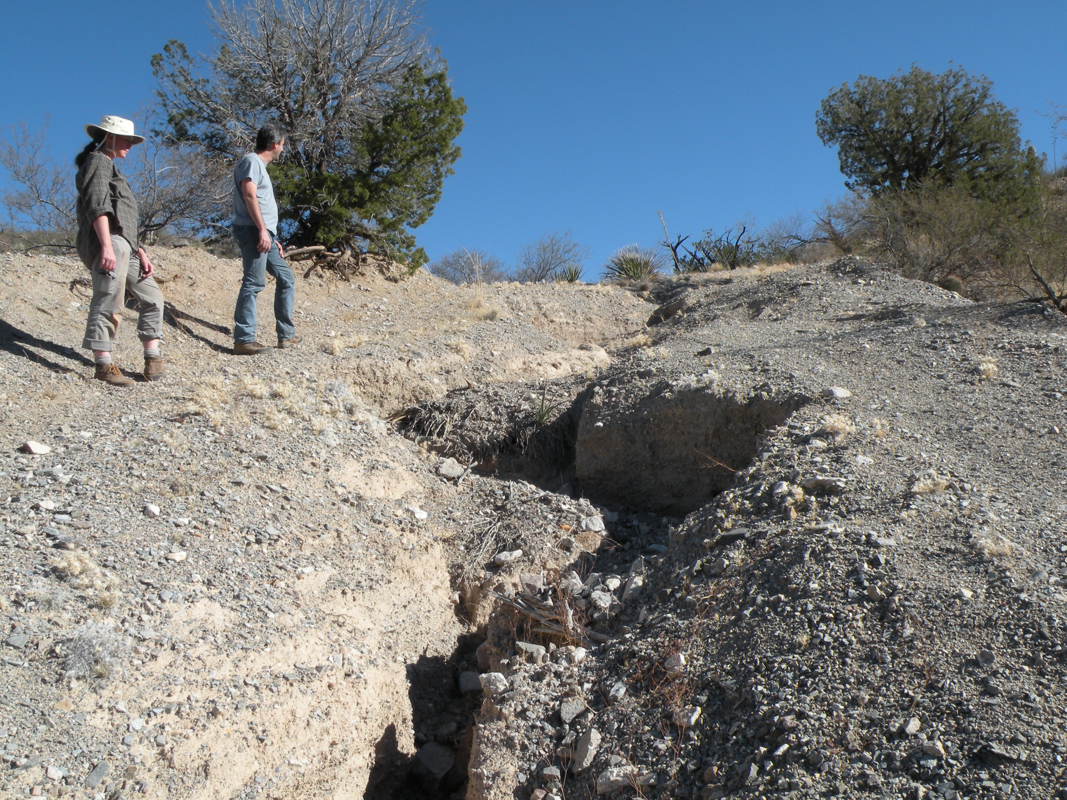
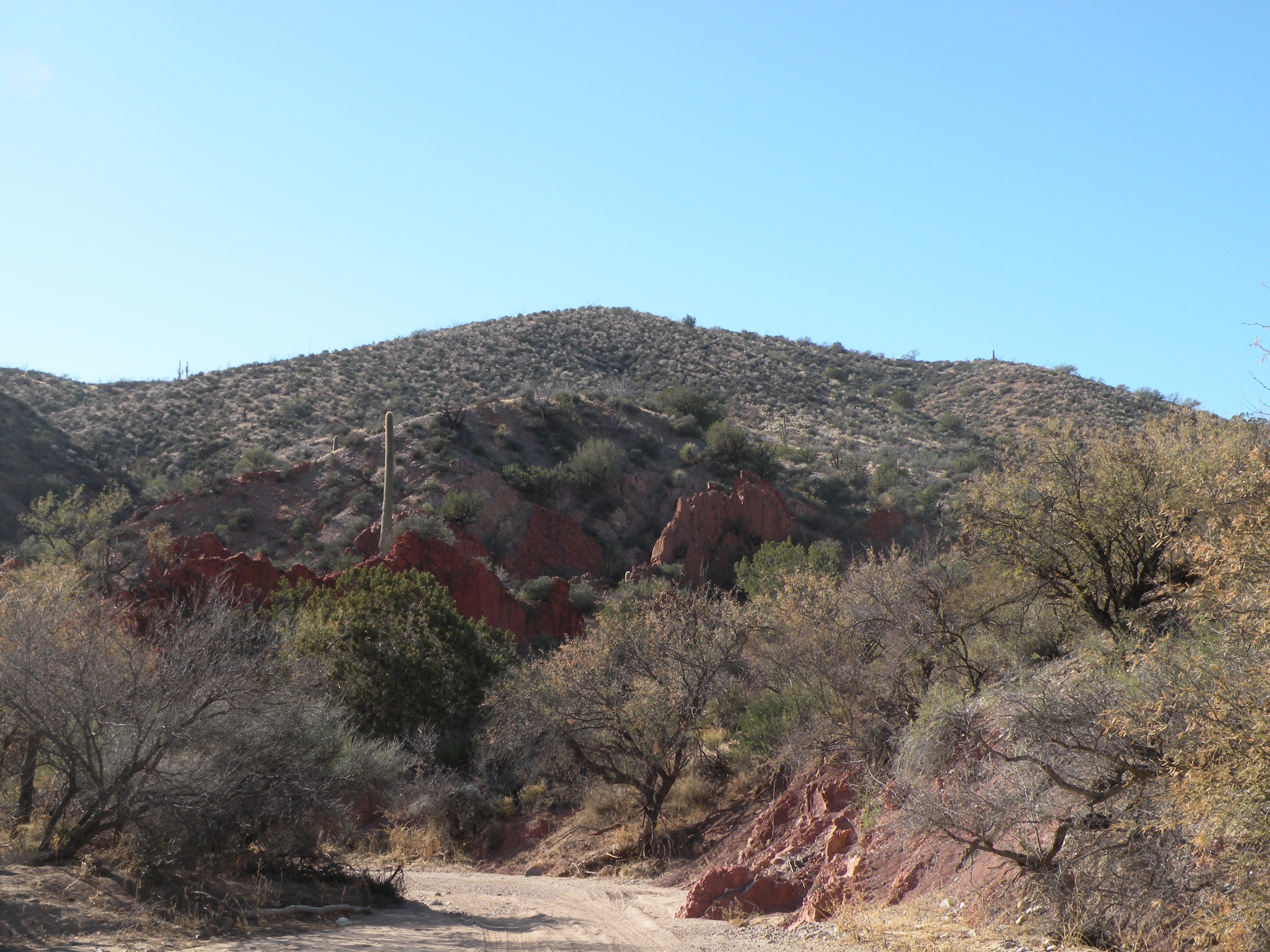
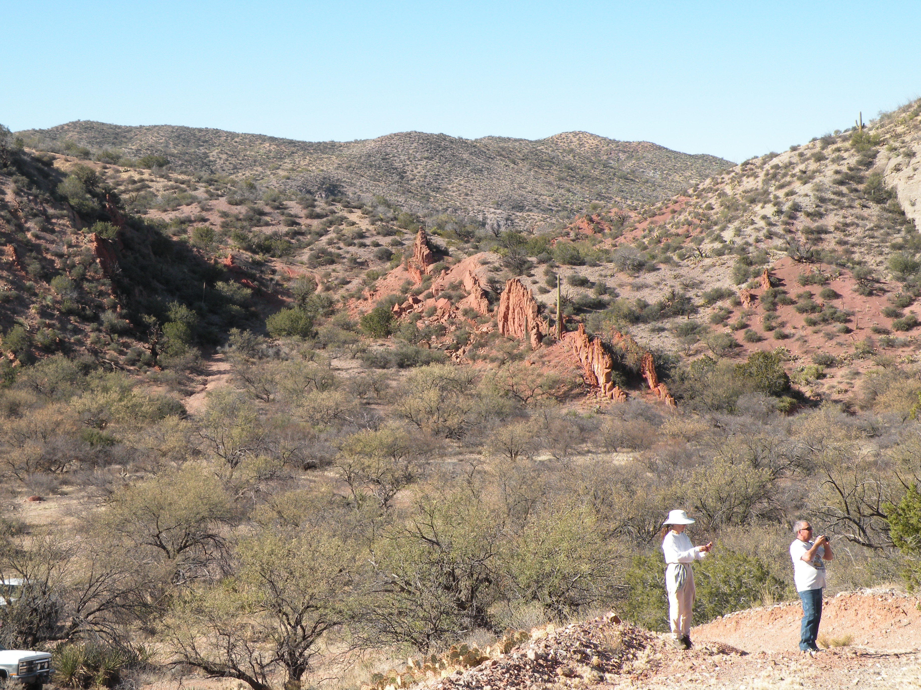
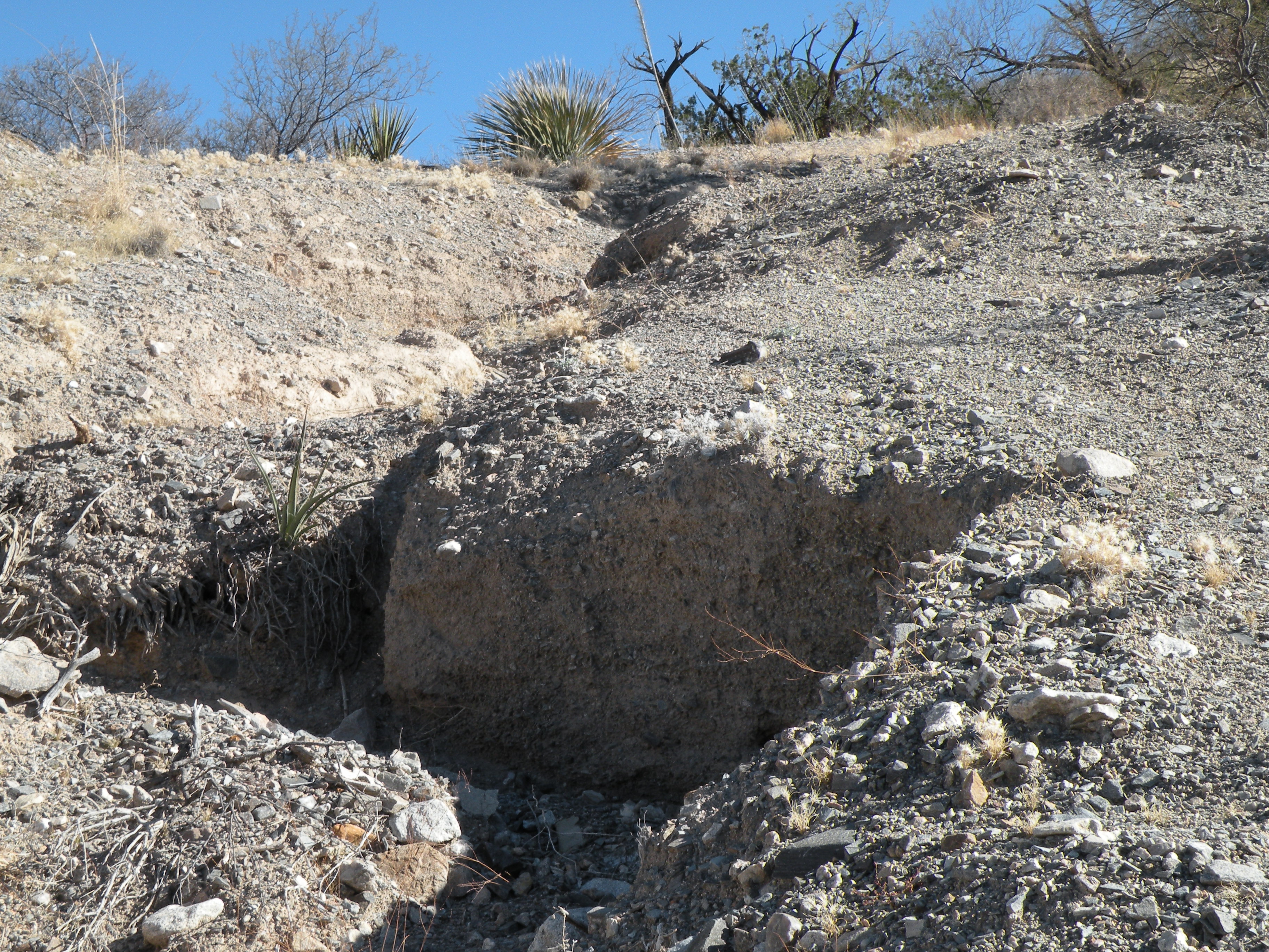
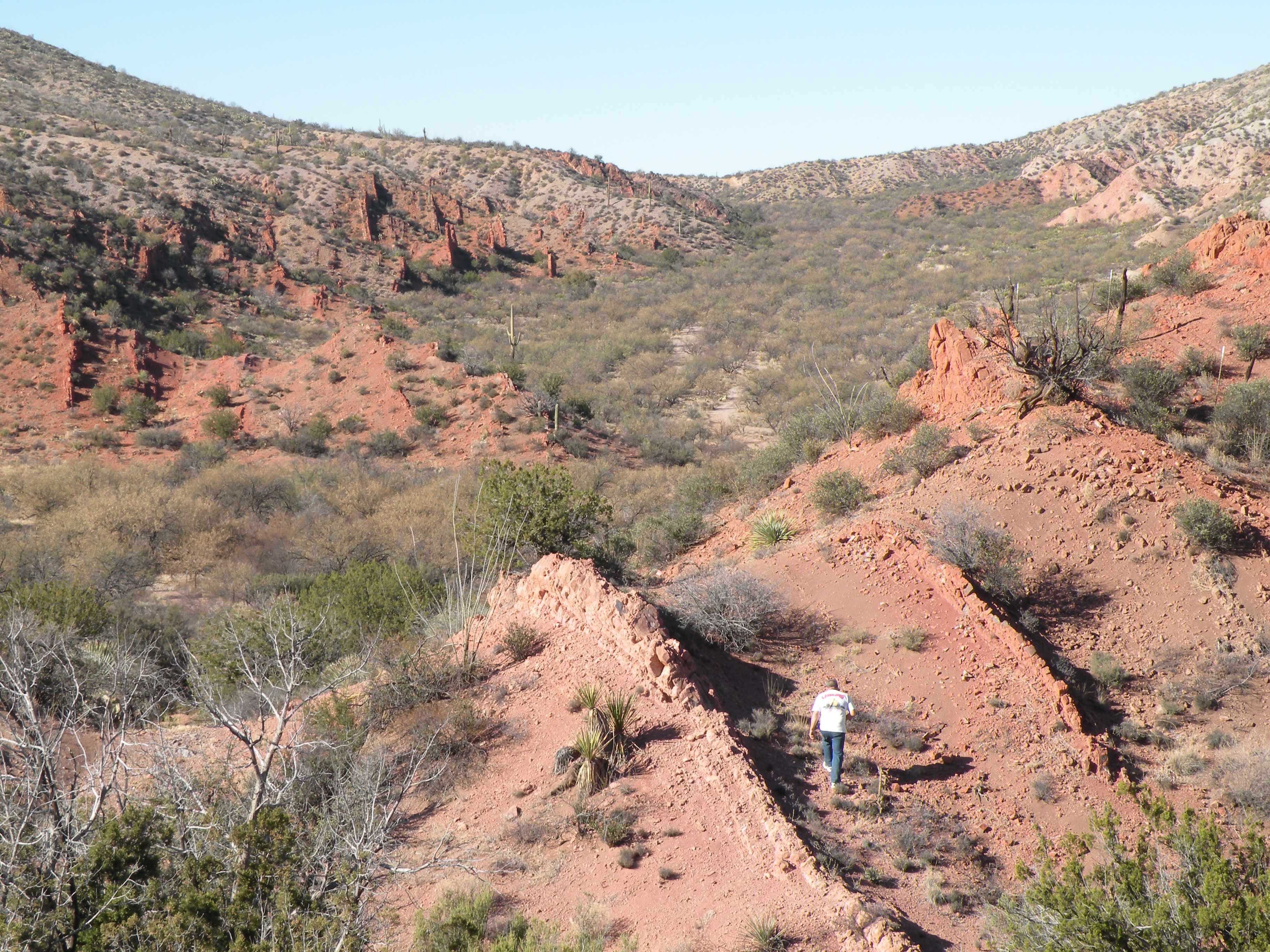
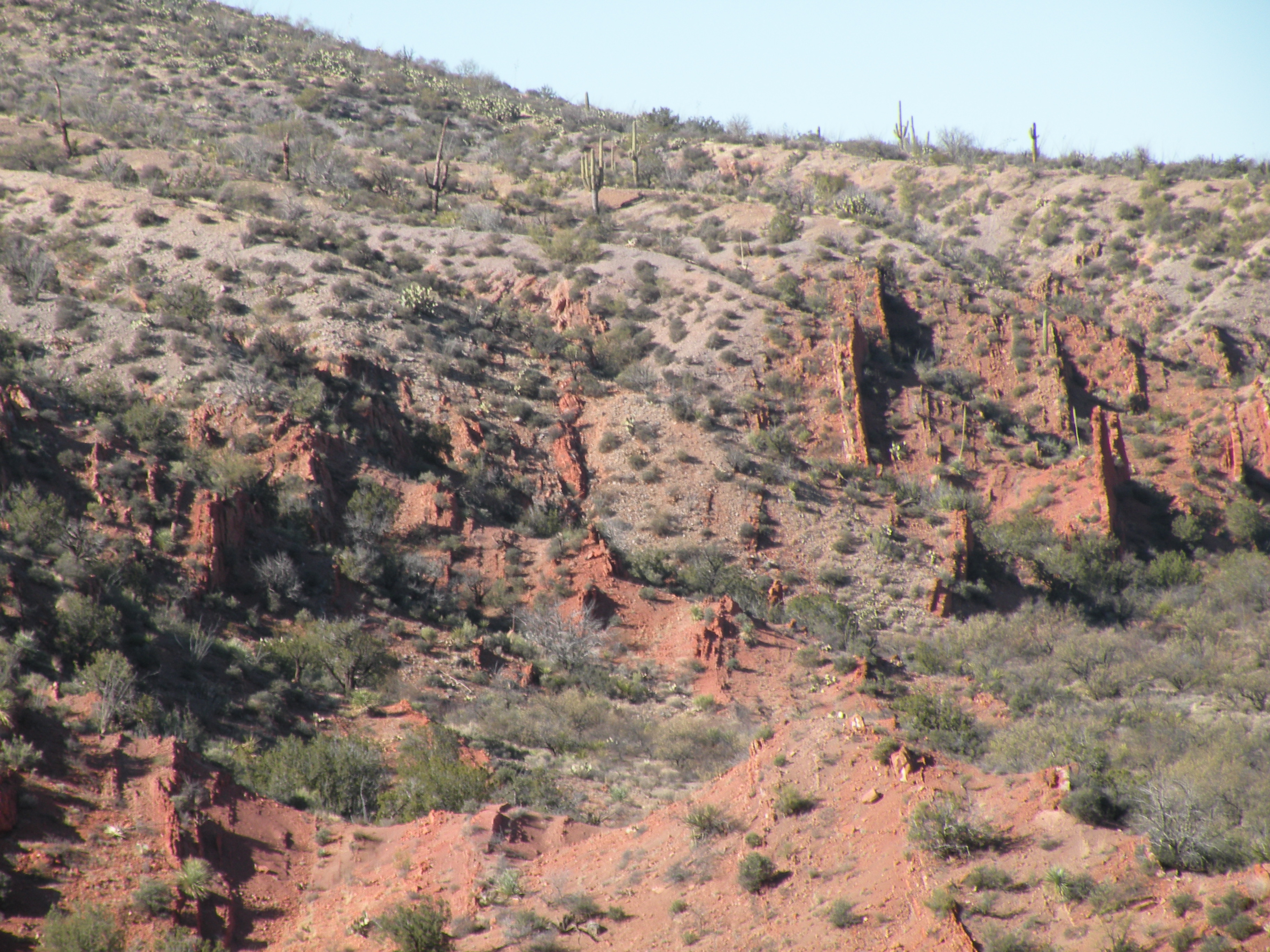
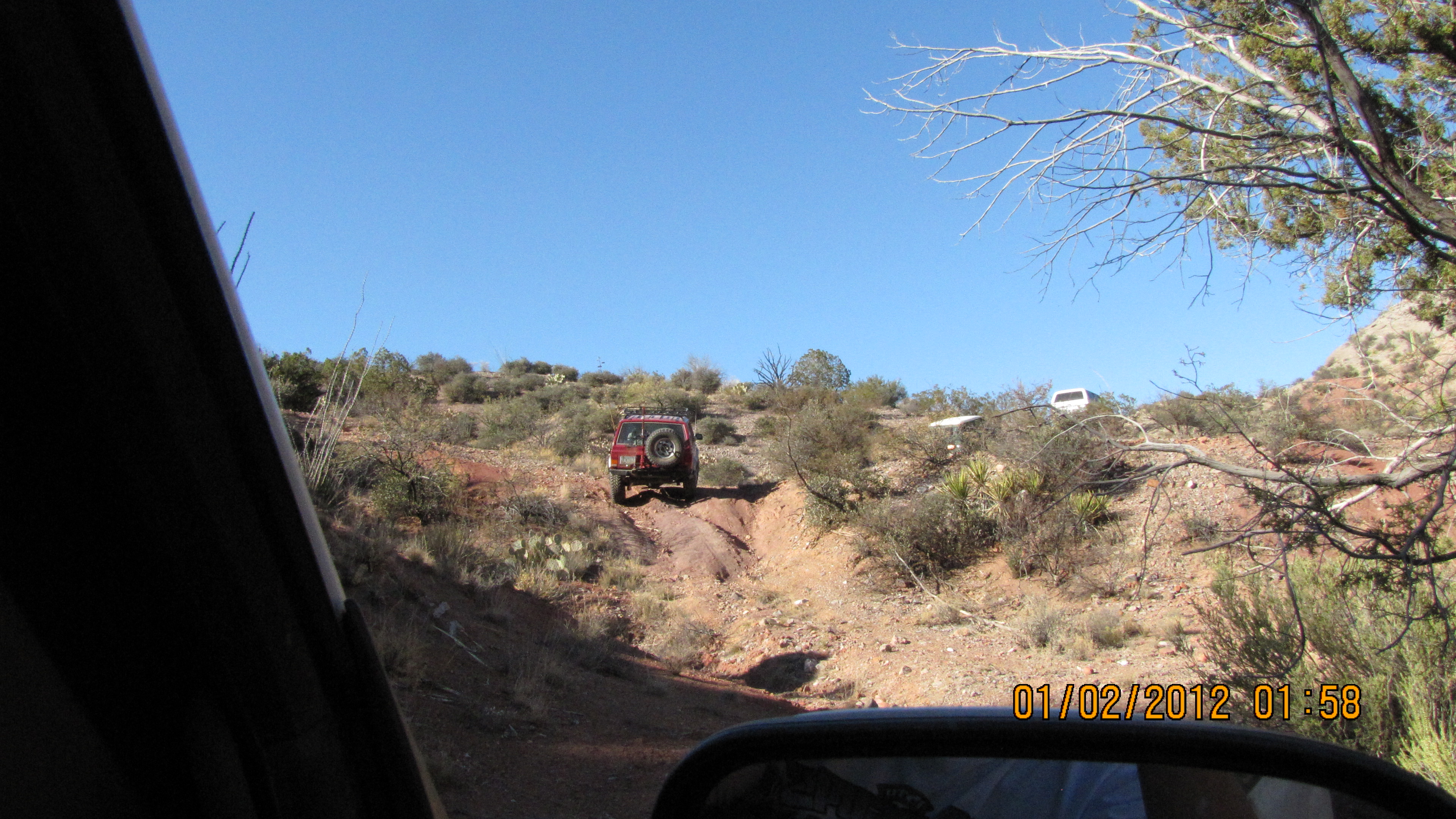
The washout on an old road heading to Paige Canyon. (We did not climb this.)
.
.
.
.

.
.
.
.
.
.

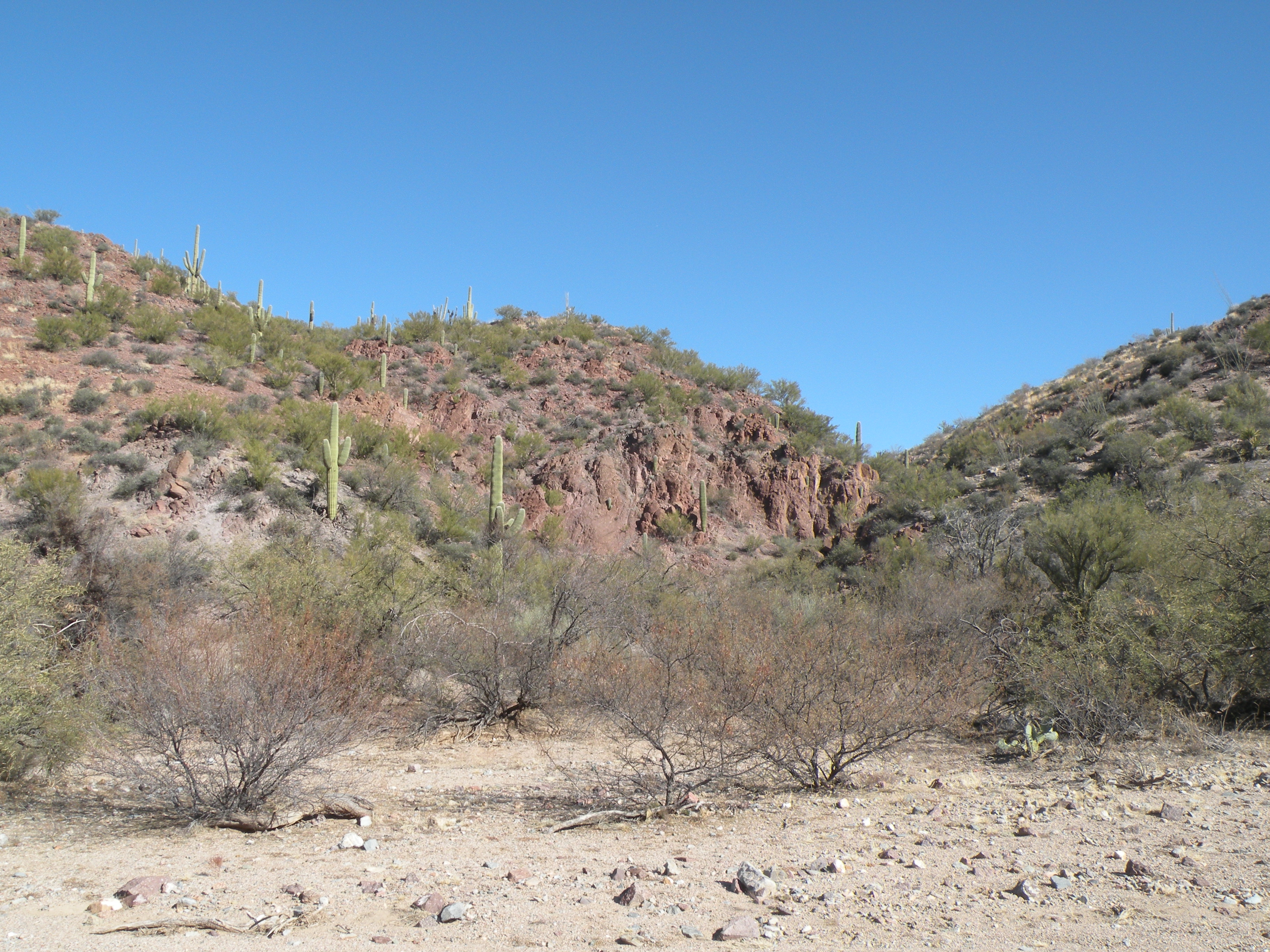
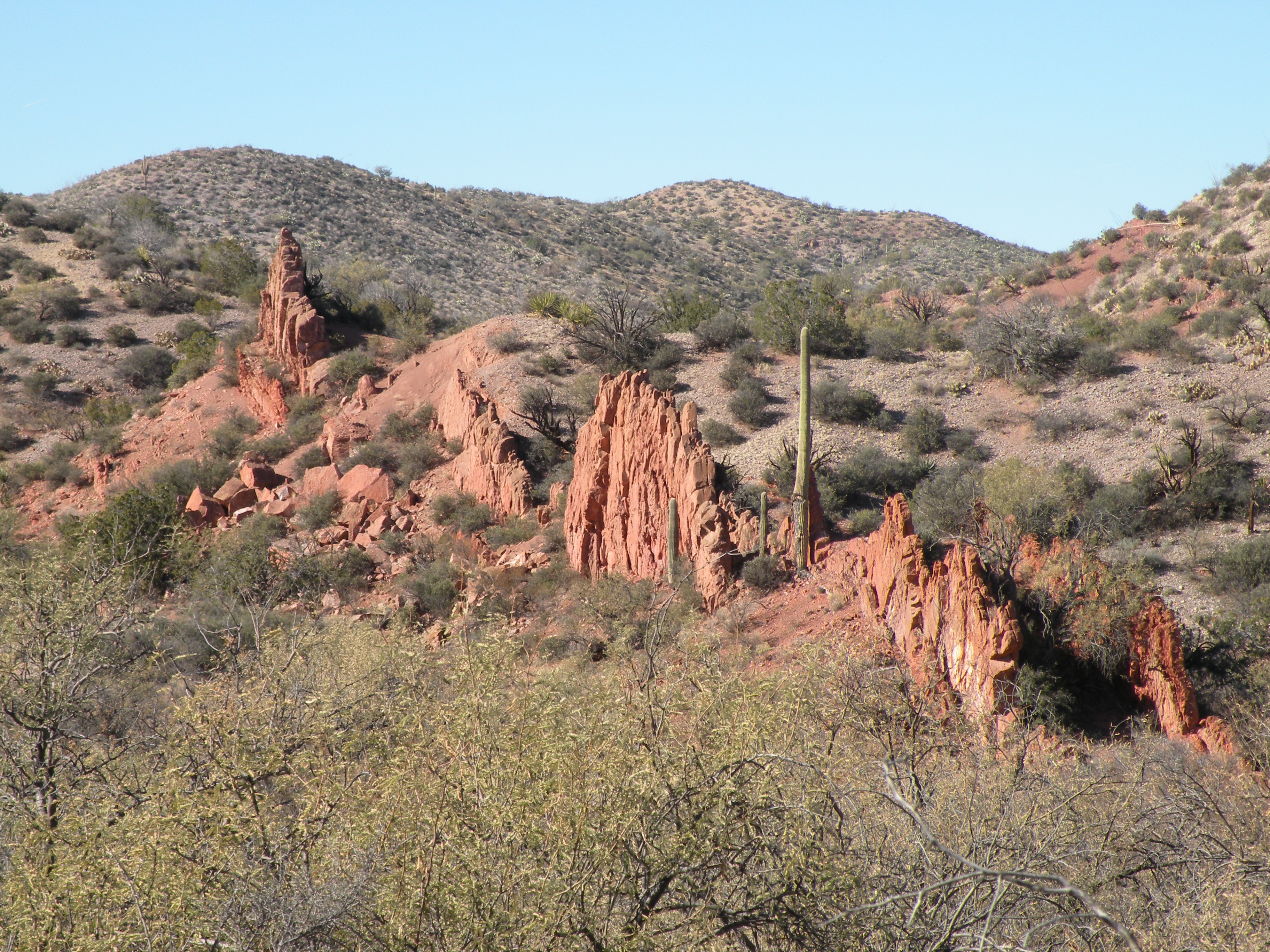
Going down into Espiritu Canyou from the east side.
.
.
.
.
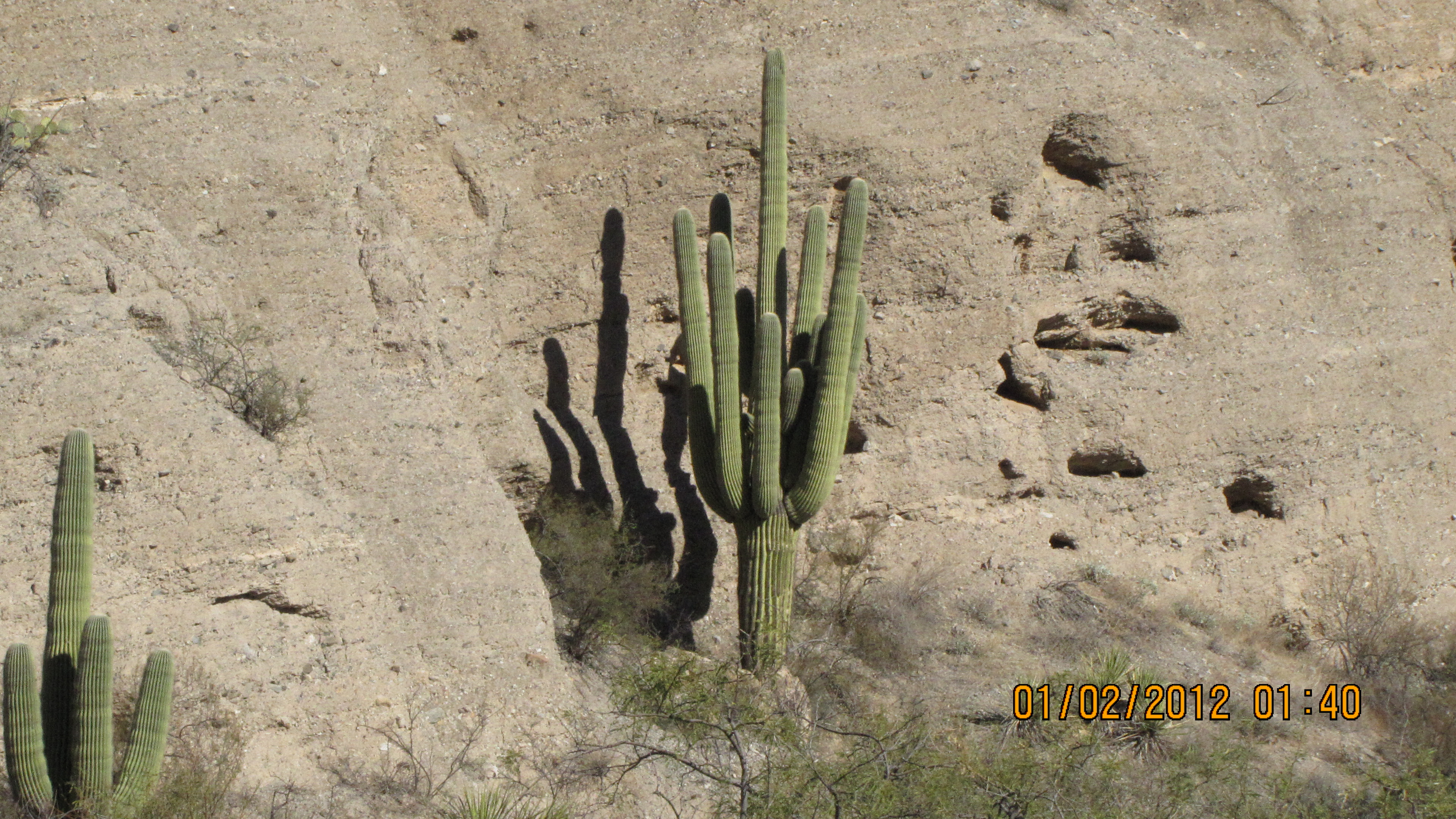
Note several dead/dying saguaros on this hillside - apparently killed by the hard freeze in February 2011.
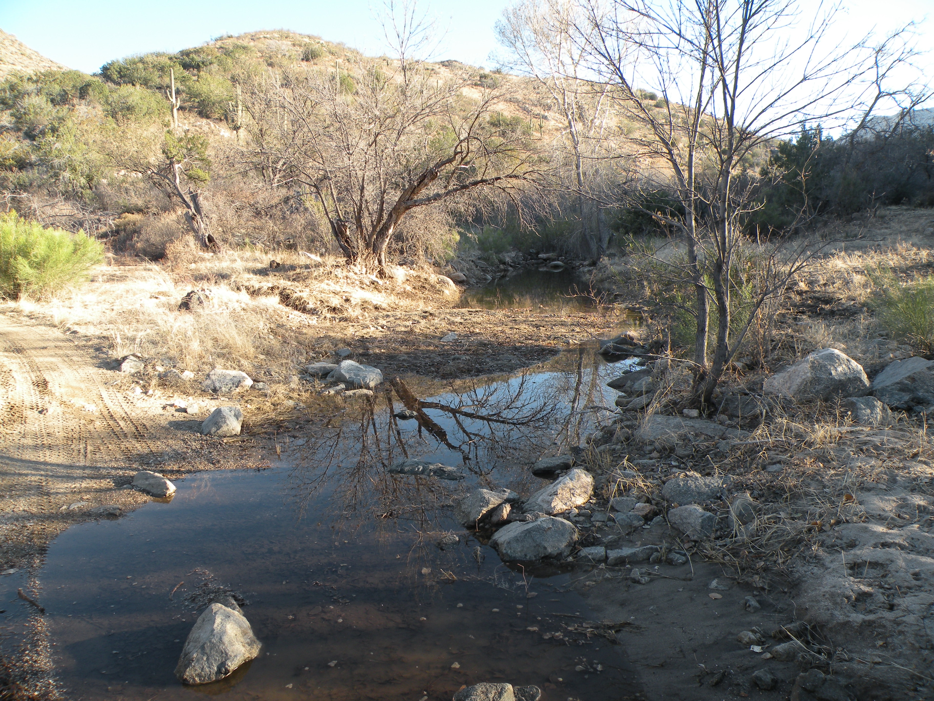
Water flowing in Espiritu Canyon.
.

.

.

.
.
.
.
.
.
.
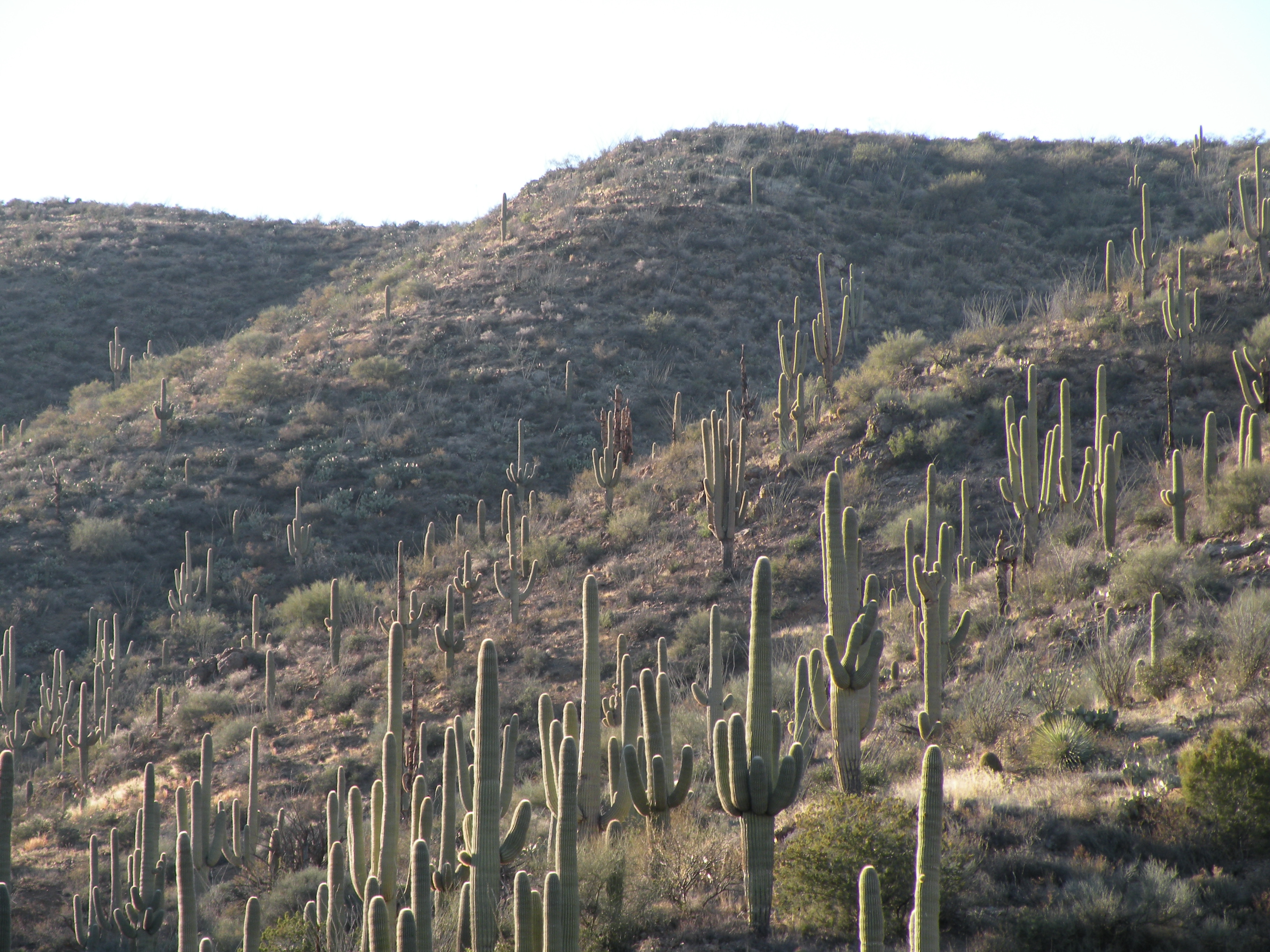
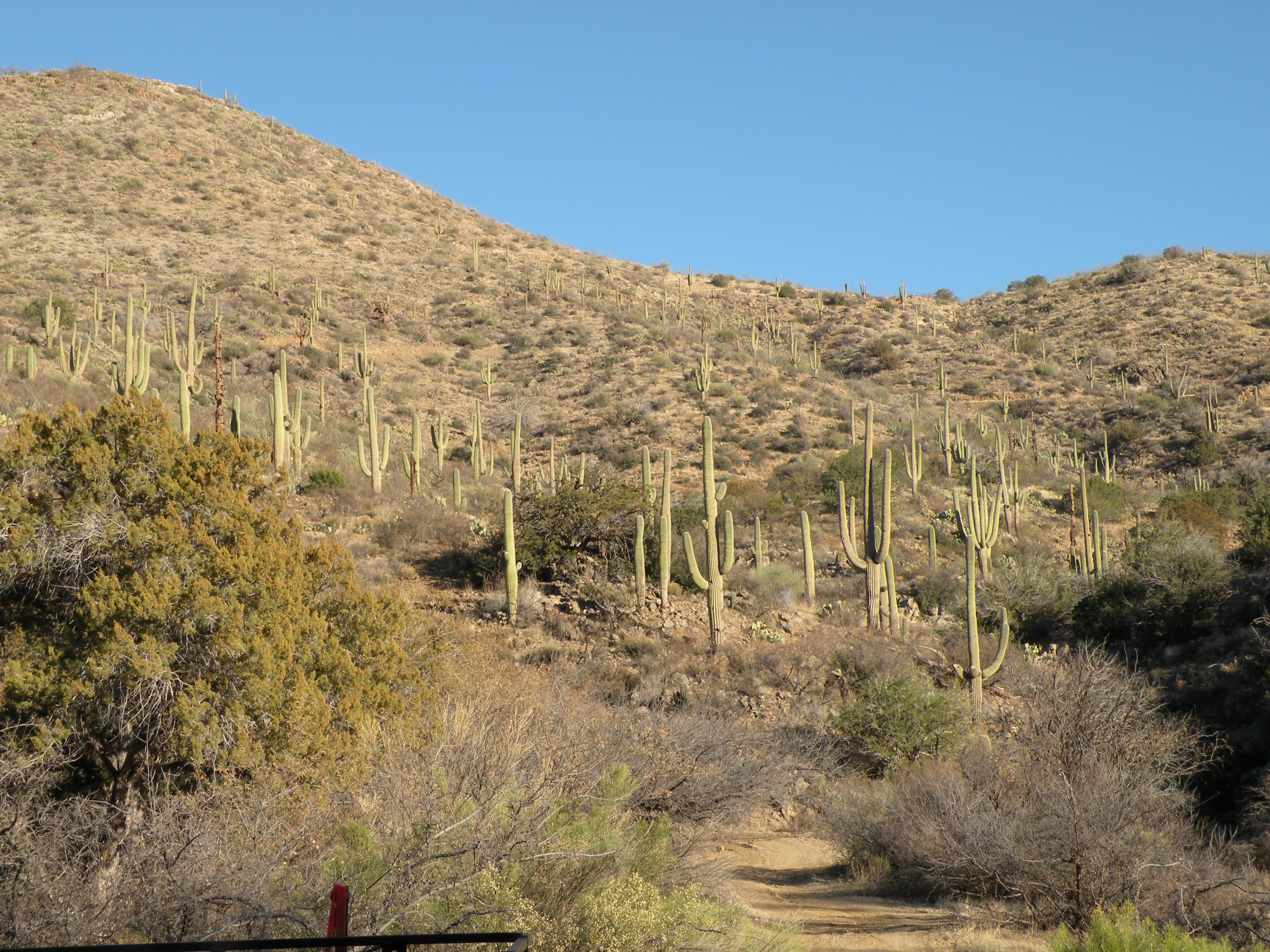
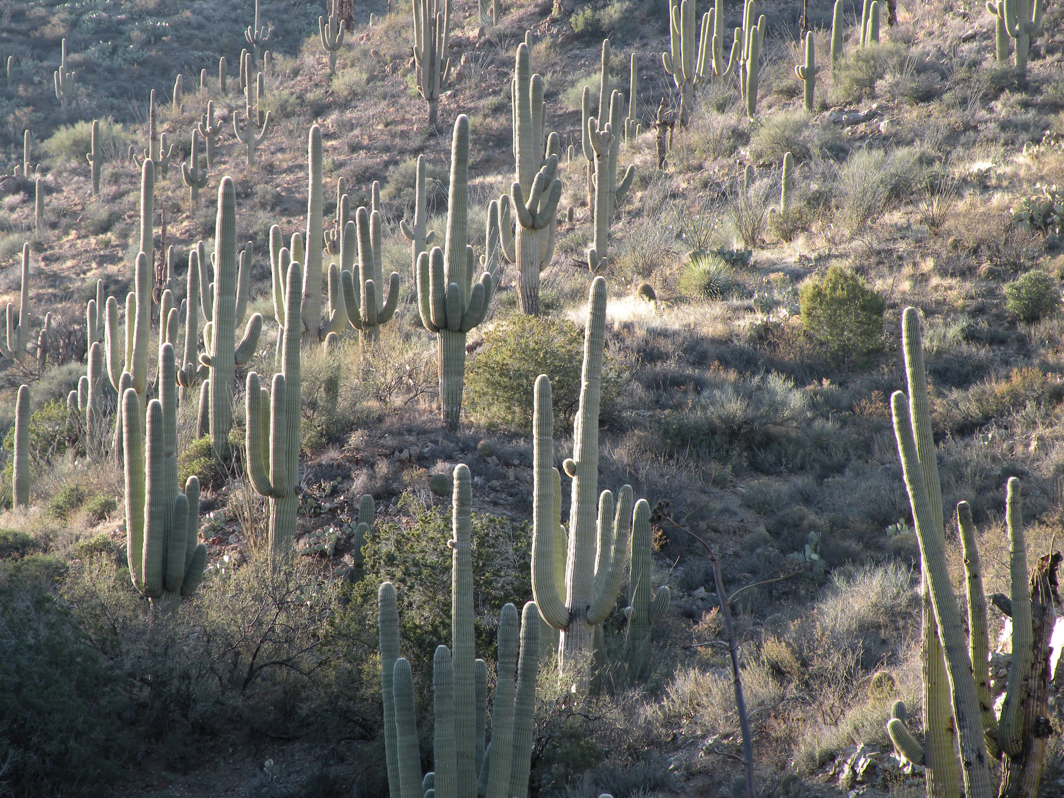
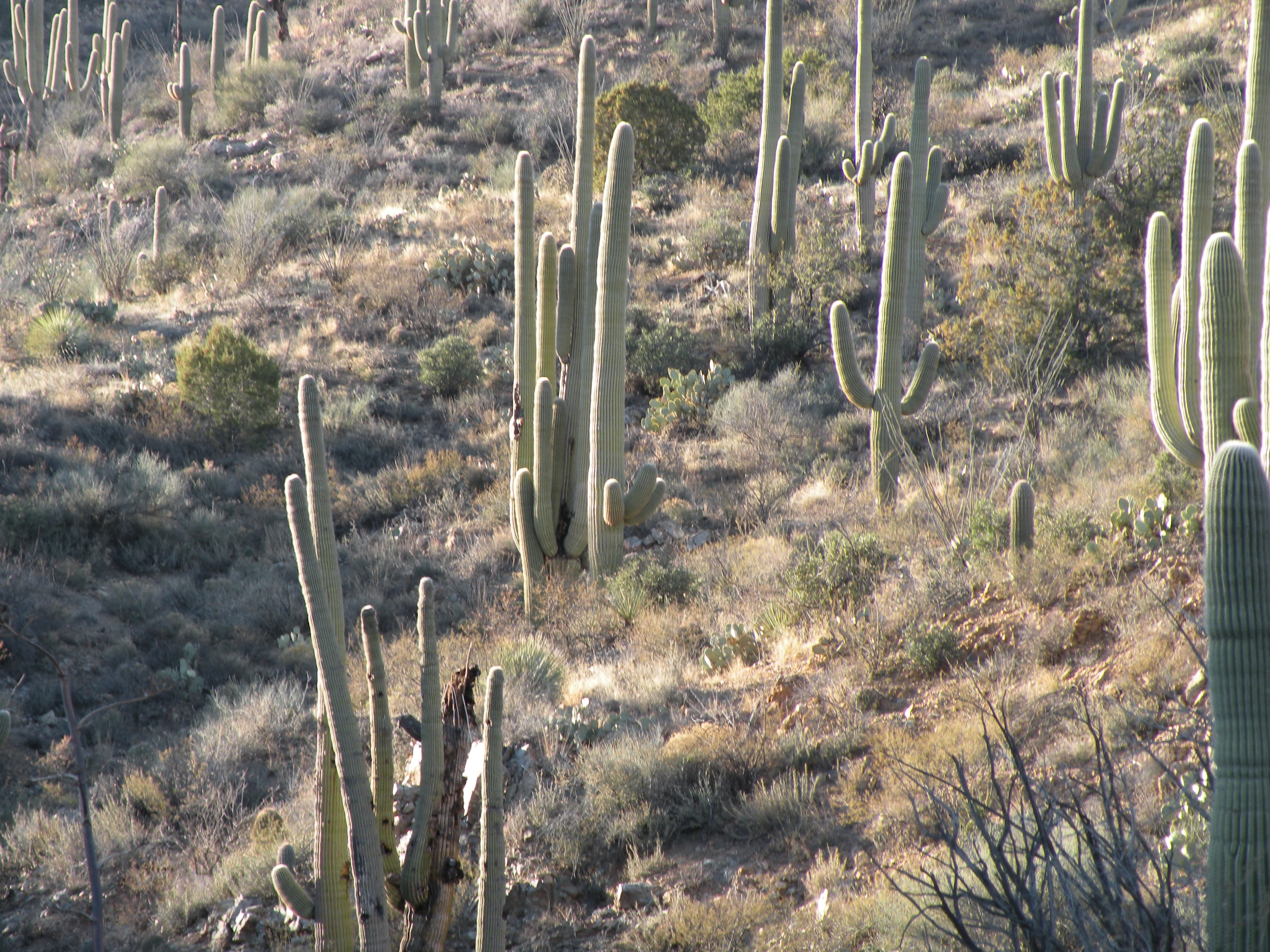
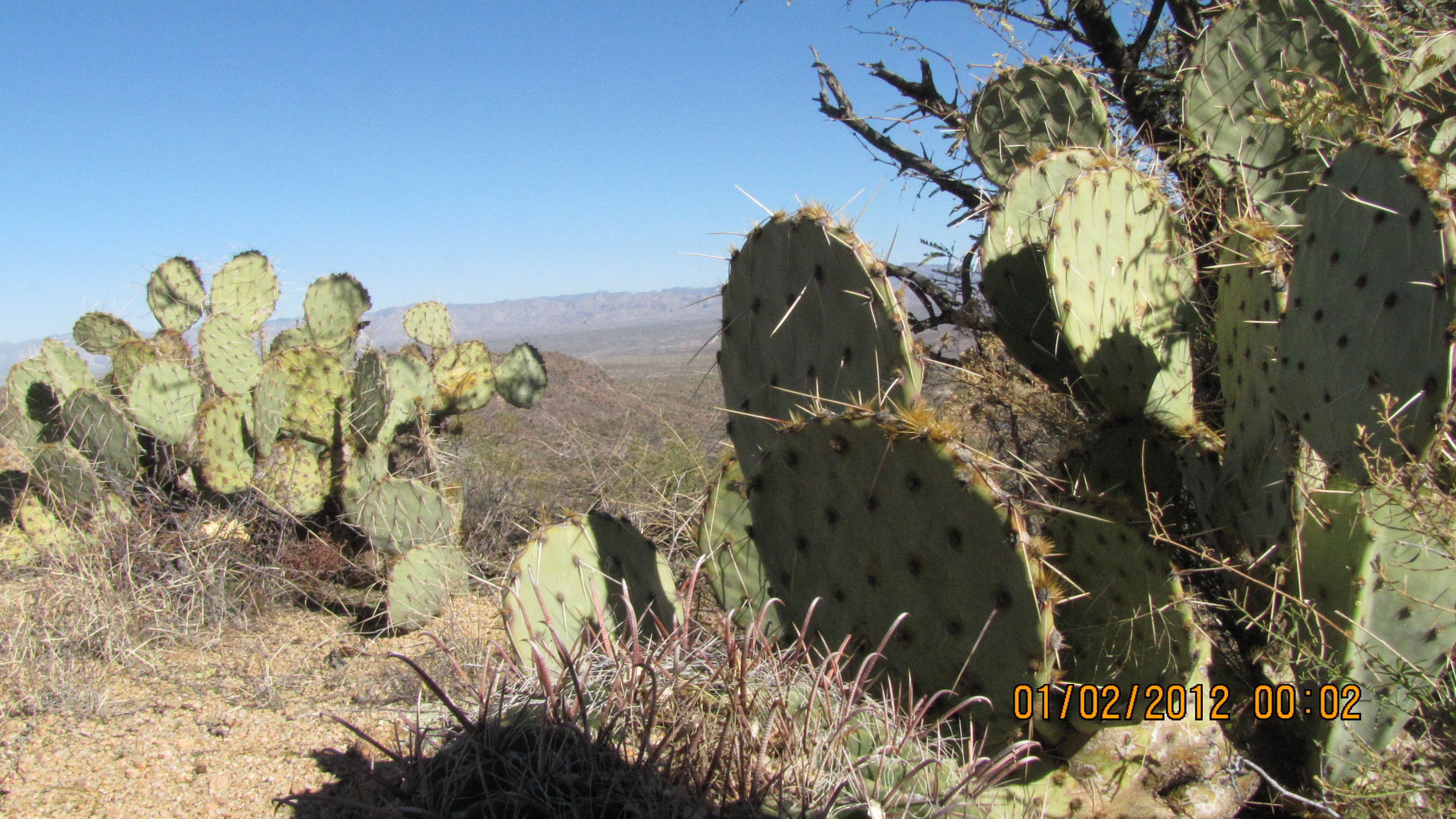
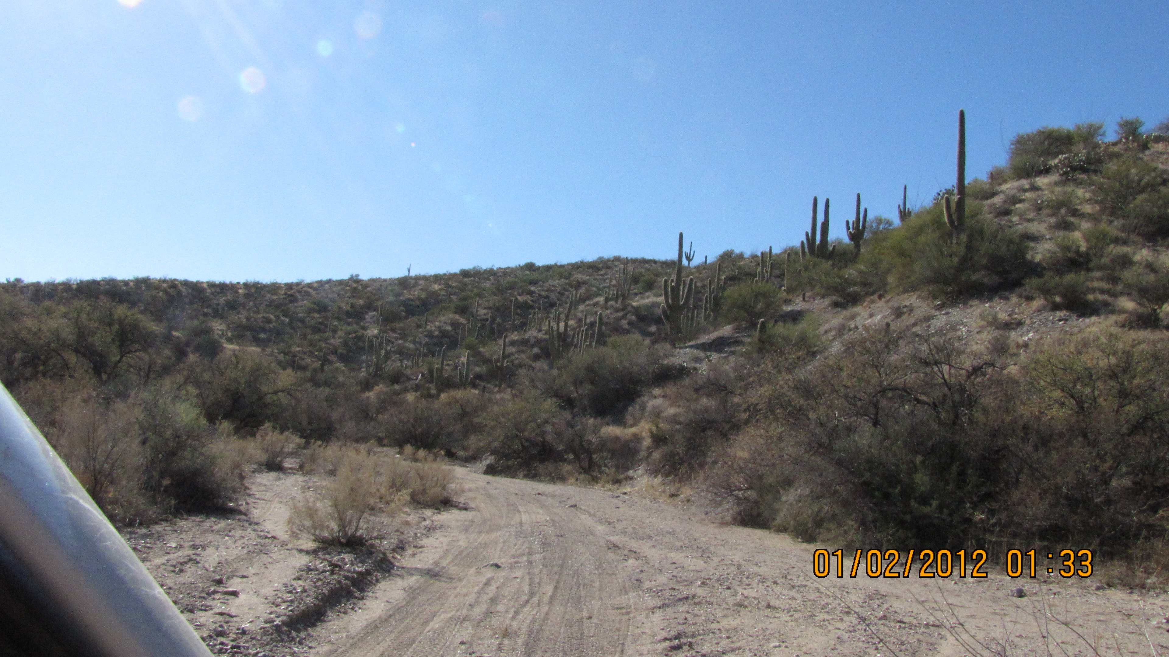
My favorite stand of saquaros on the road out of Espiritu Canyon to the west..

.

.
.
.
.
.

.
.
.
.
.
.
.

.
.
.

.
.
.
.

.
.
.
.
.

.
.
.

.

.
.
.
.
.

.
.

.
.

.

.
This web page maintained by John M. Hill: jhill@as.arizona.edu
Last modified: Sat Apr 21 15:51:09 2012