Steward Observatory 4x4 Off-Highway Adventures

Utah Wheelin' on the Mormon Trail, September 2002

Four trucks met at the San Juan Inn in Mexican Hat on Sunday September 1, 2002. Ed and Rick in F-250 Super Duty (lift, 2 lockers, winch, 35-inch tires), Bob and Robby in full-size Blazer (lift, 1 locker, winch, 33-inch tires), John in 94 Chevy K2500 (lift, 1 locker, winch, 35-inch tires), Mike and Steve in their newly-built Jeep Cherokee (lift, 2 lockers, 32-inch tires). On the way to Mexican Hat, John had to install a new battery in Casa Grande and a new alternator in Phoenix. But this was nothing compared to Mike and Steve who dropped the transmission to replace a burned bearing in Flagstaff!

After breakfast on Sunday morning, we drove to Goosenecks of the San Juan State Park near Mexican Hat to see the gooseneck bends in the San Juan River. Then we drove up Hwy 261 and the Moki Dugway for another scenic view on the way to Hwy 276.


.


.


.


.


.


.


.


.

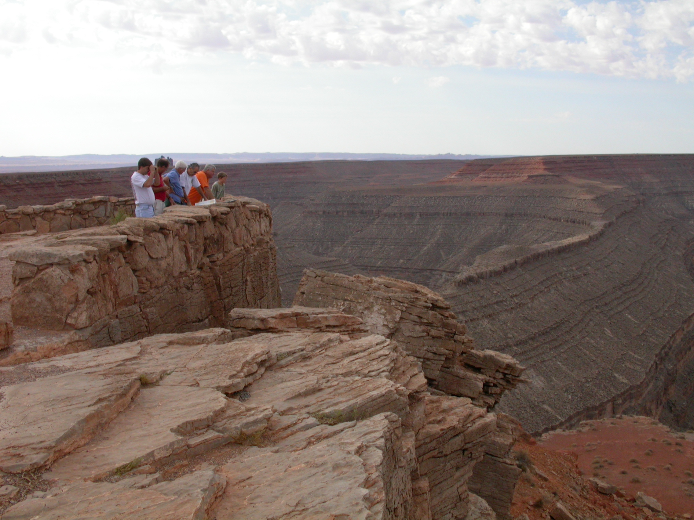
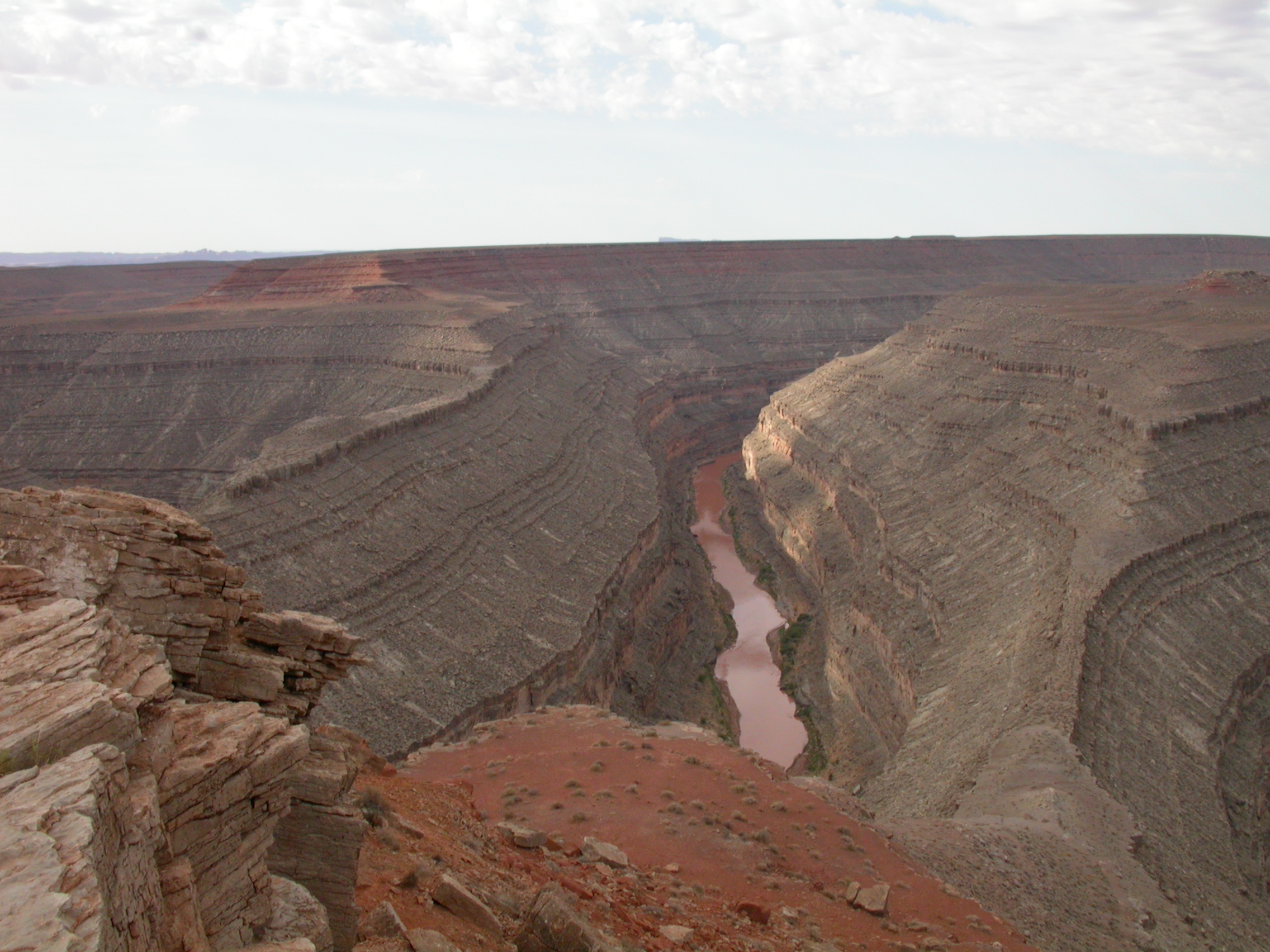
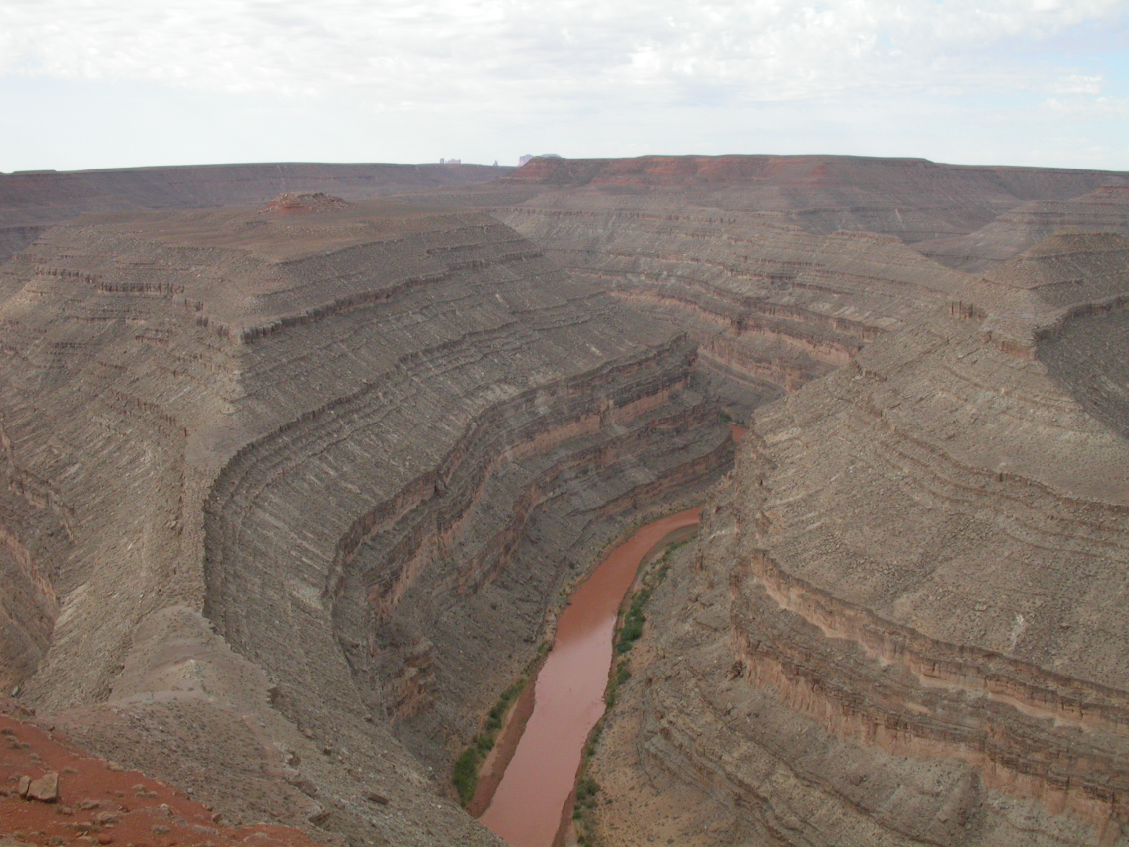
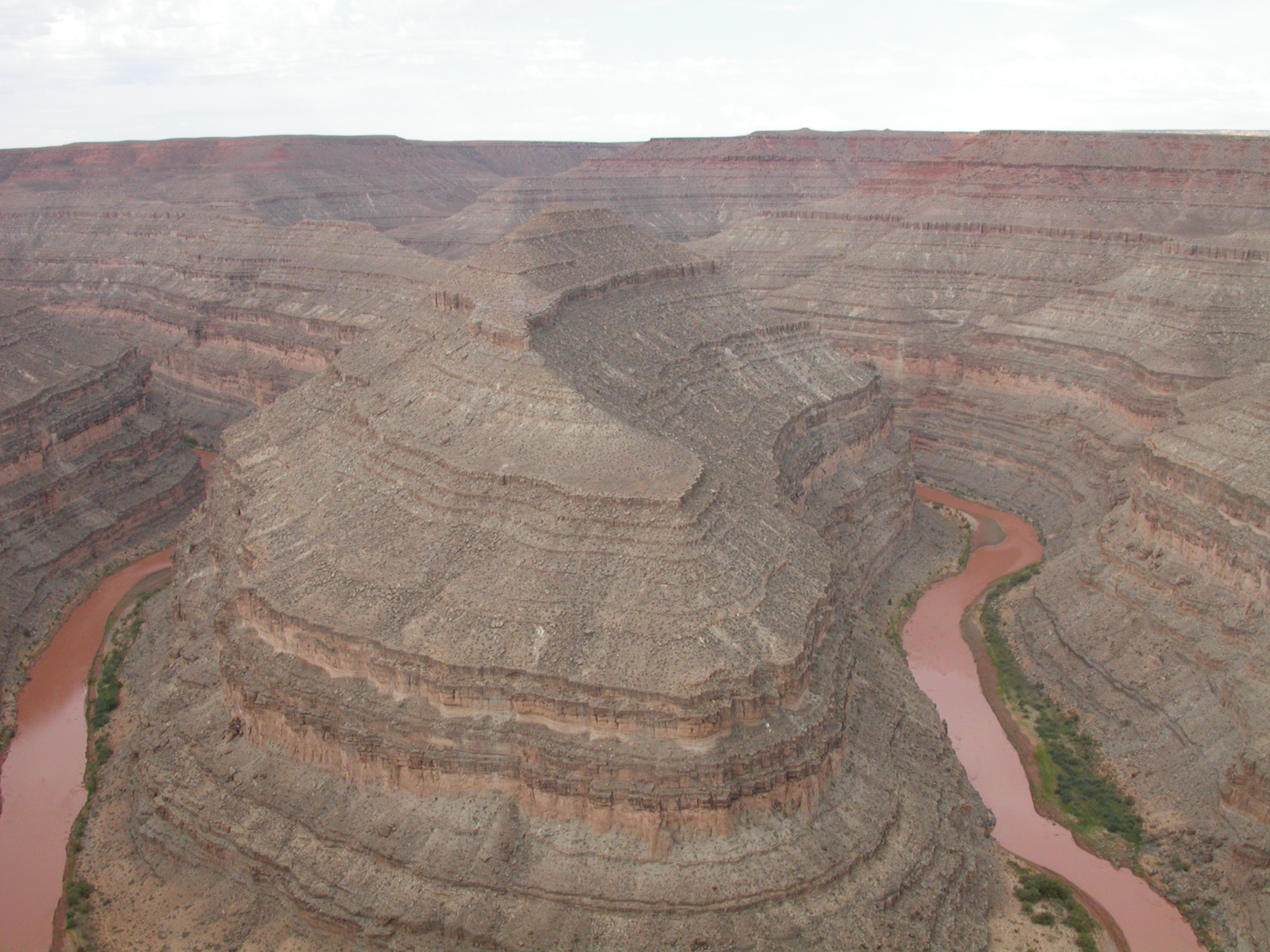
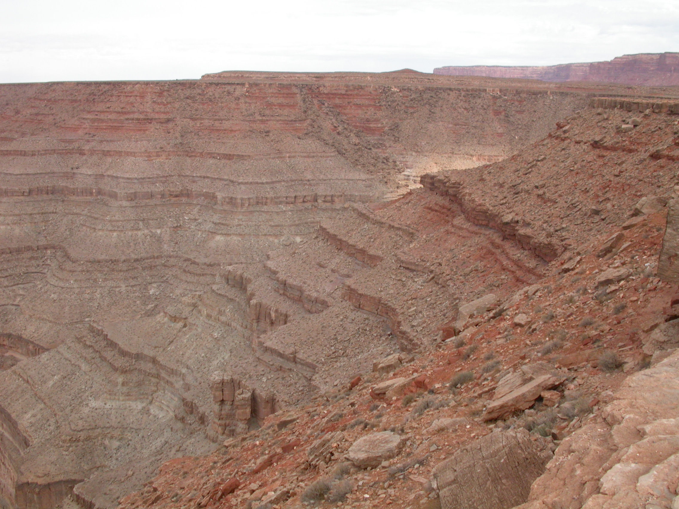
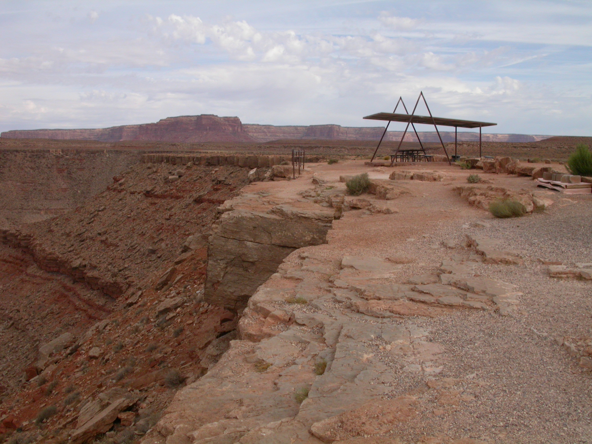
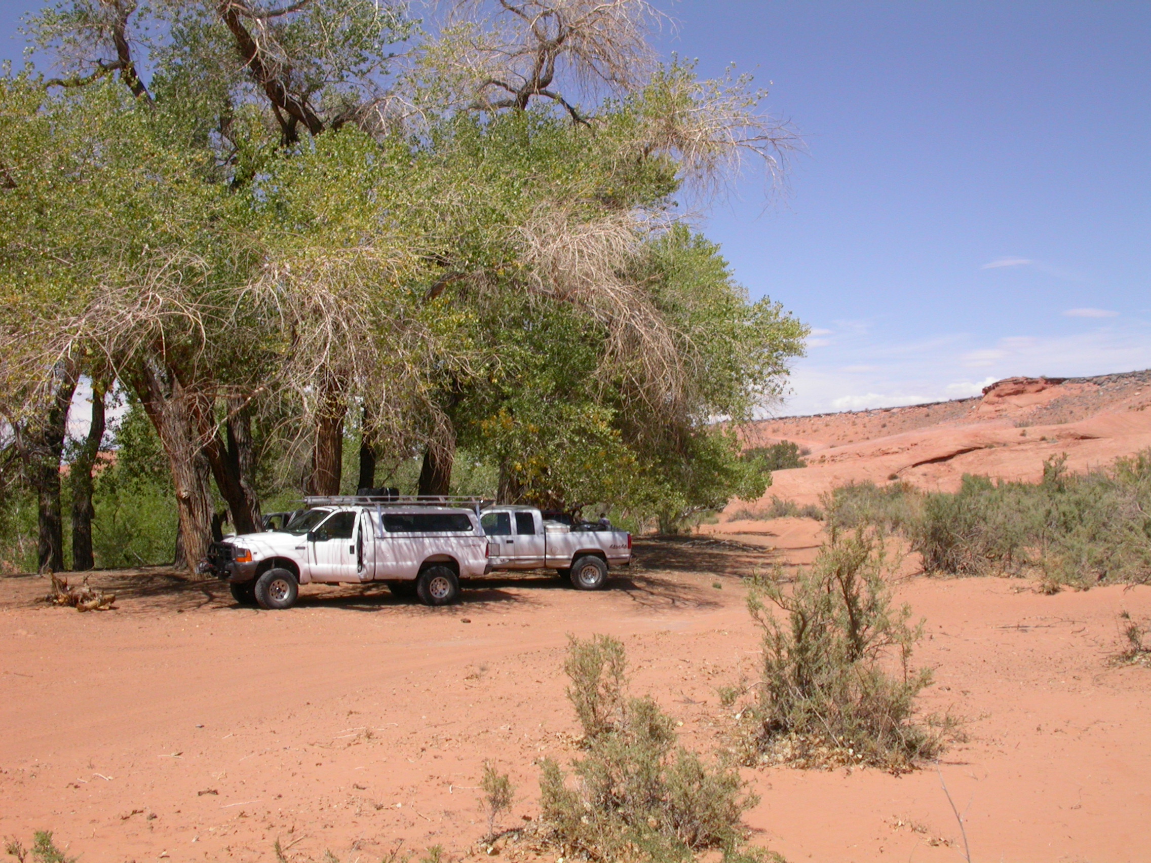
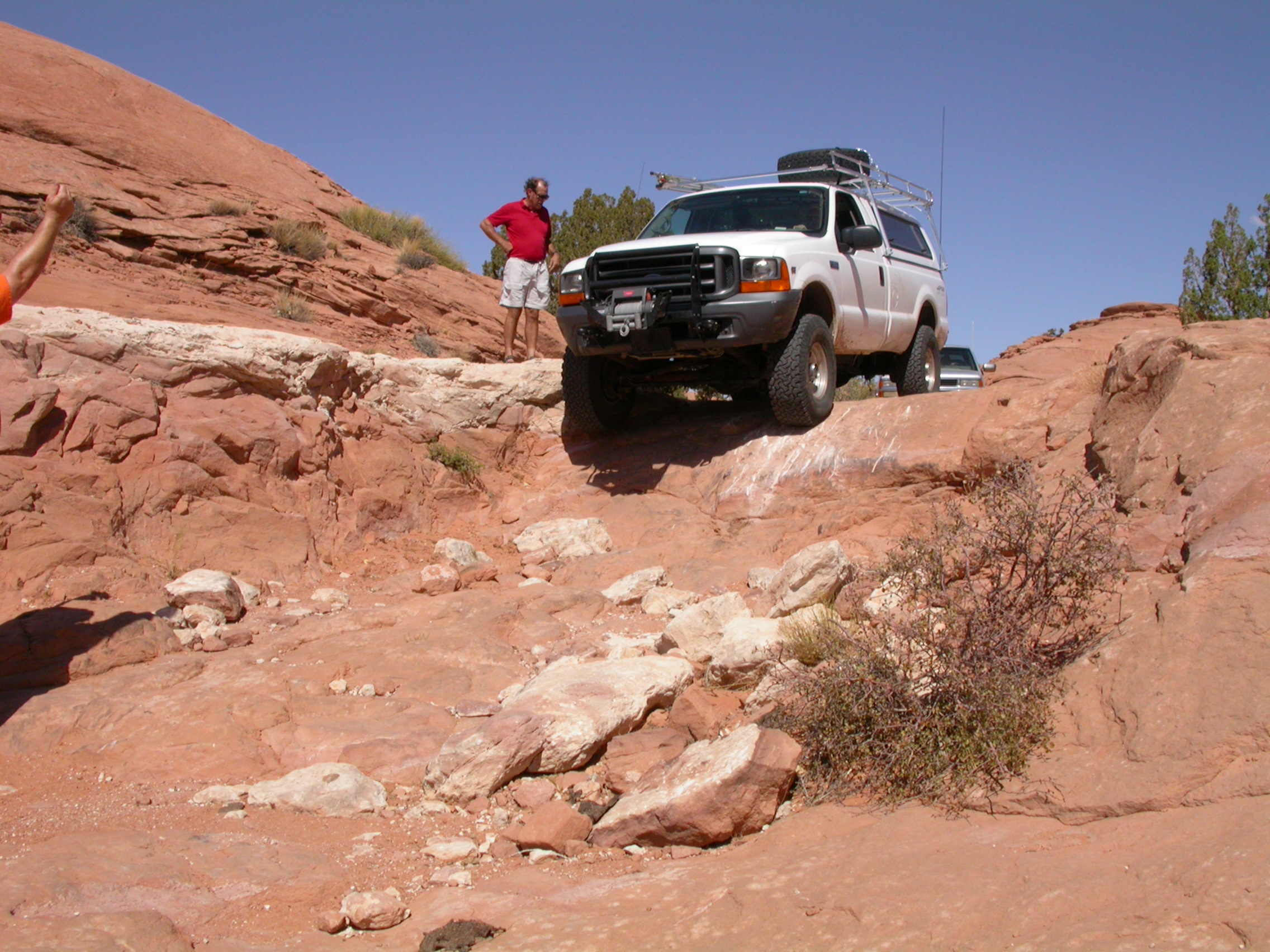
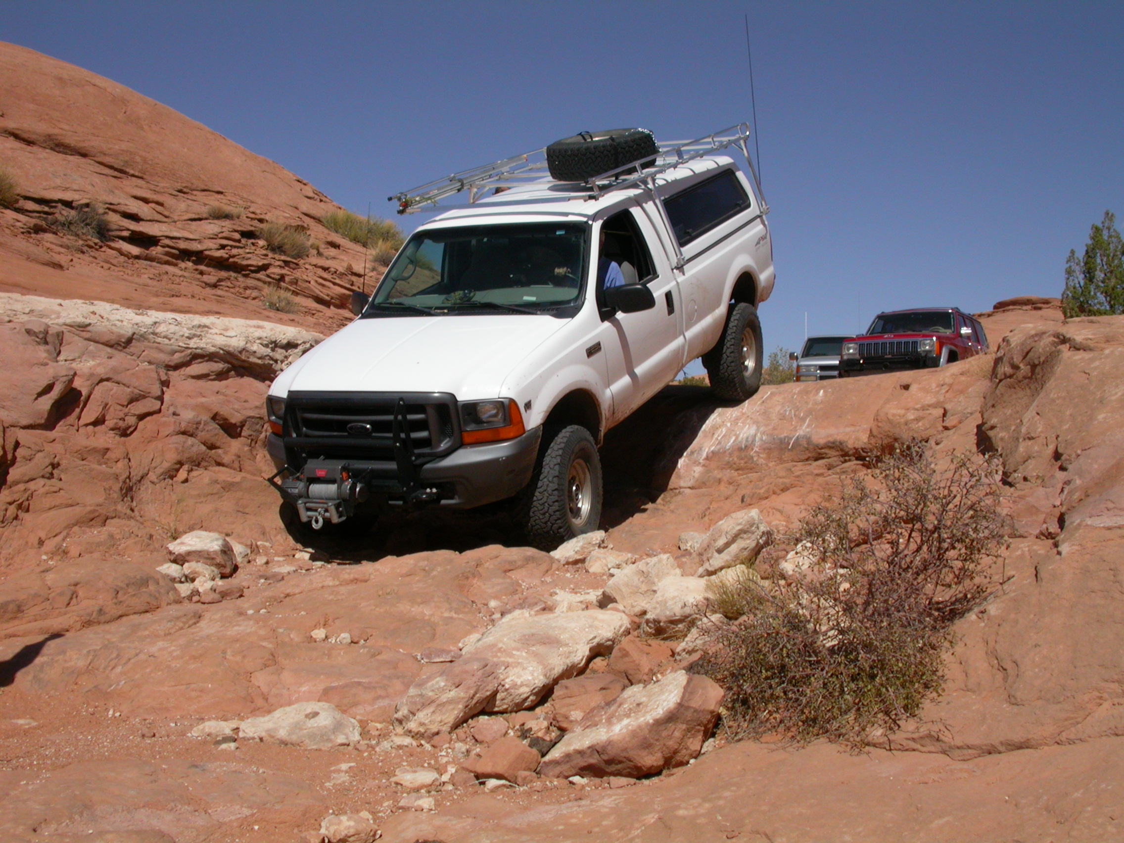
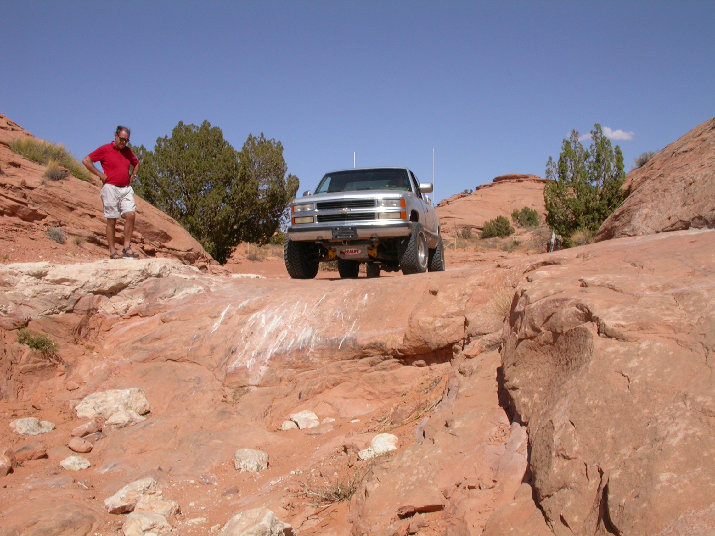
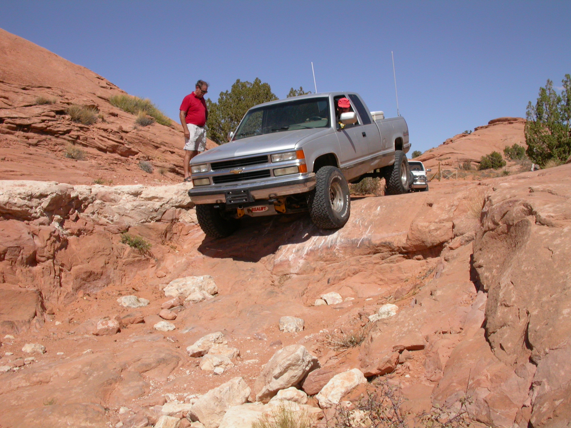
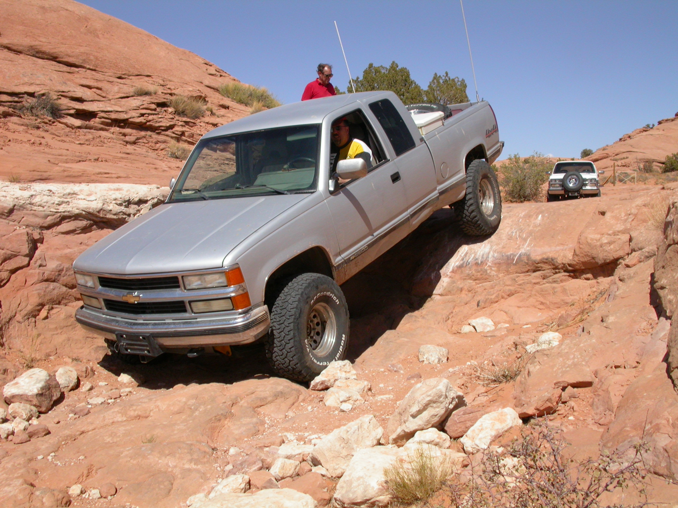
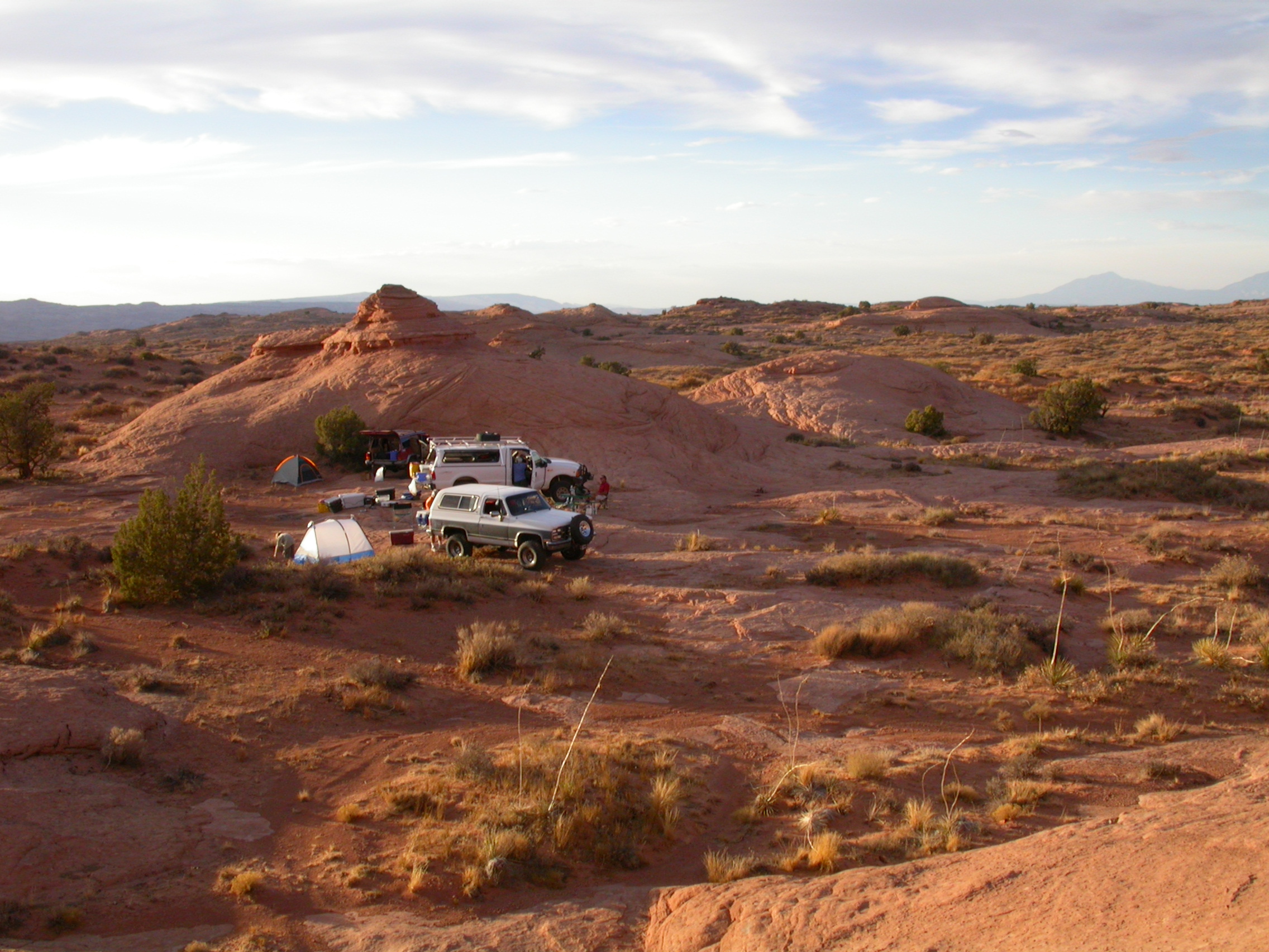
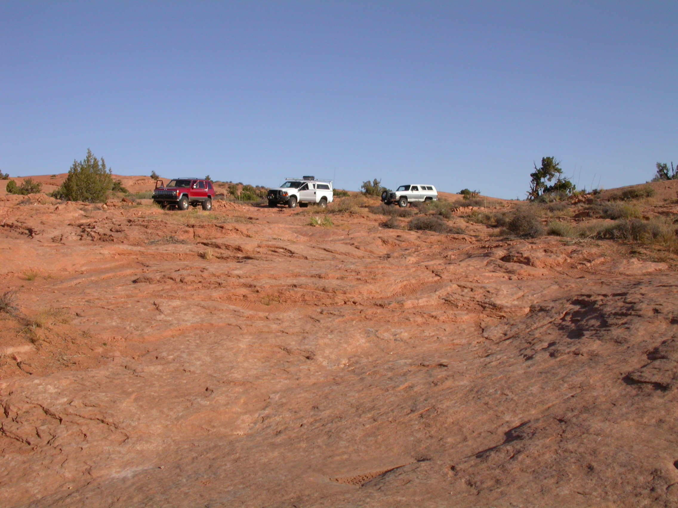
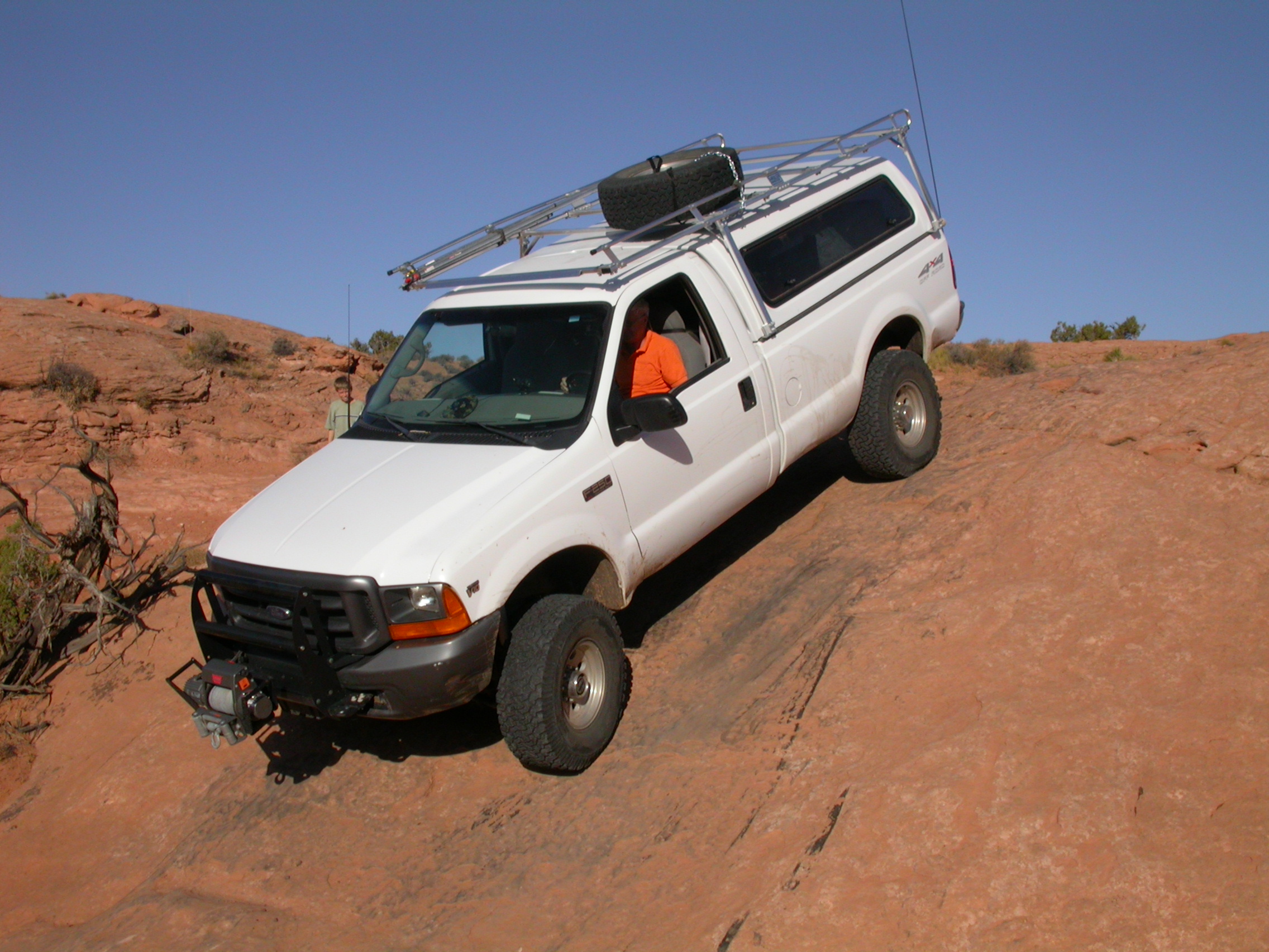
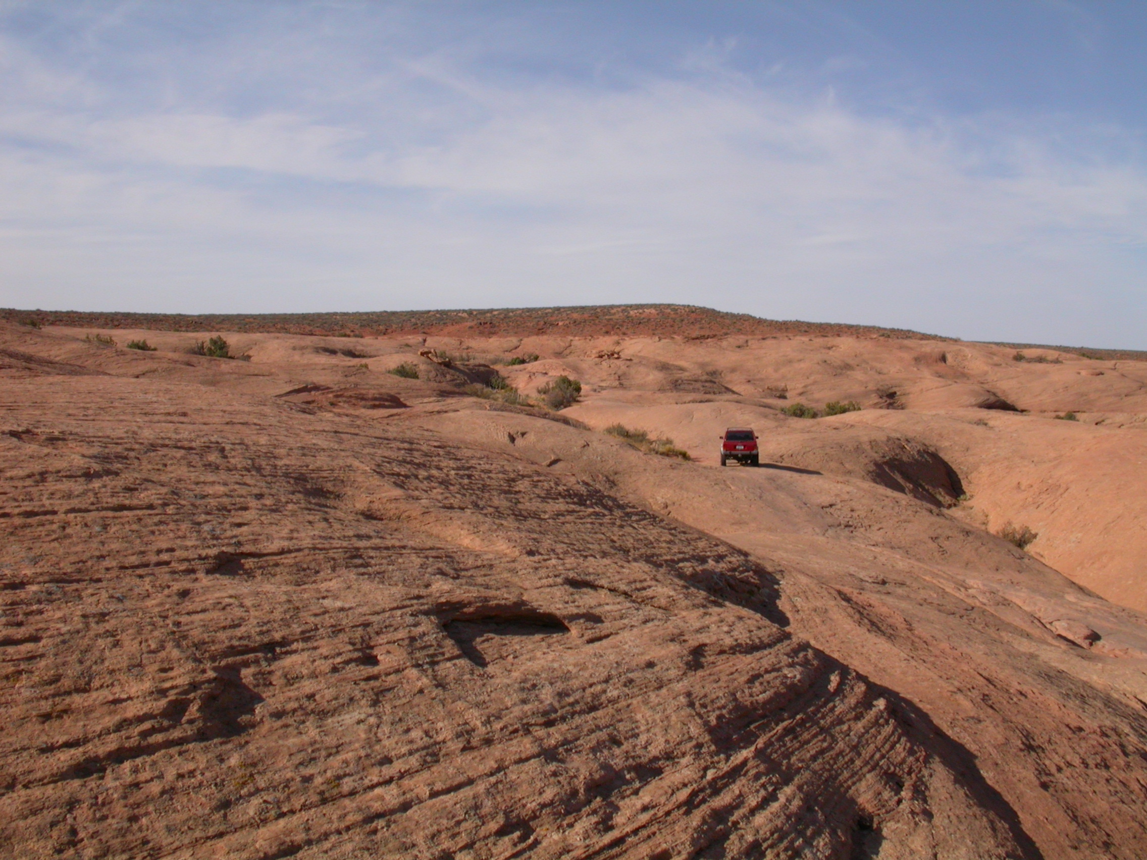
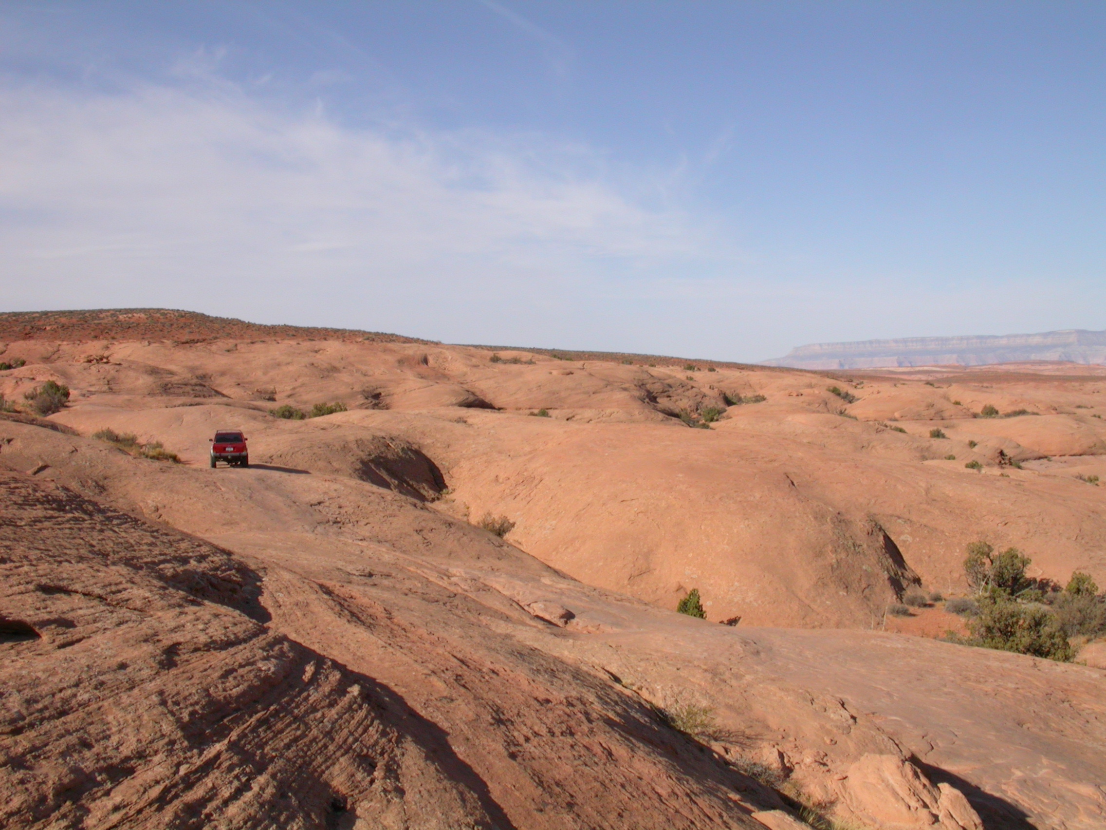
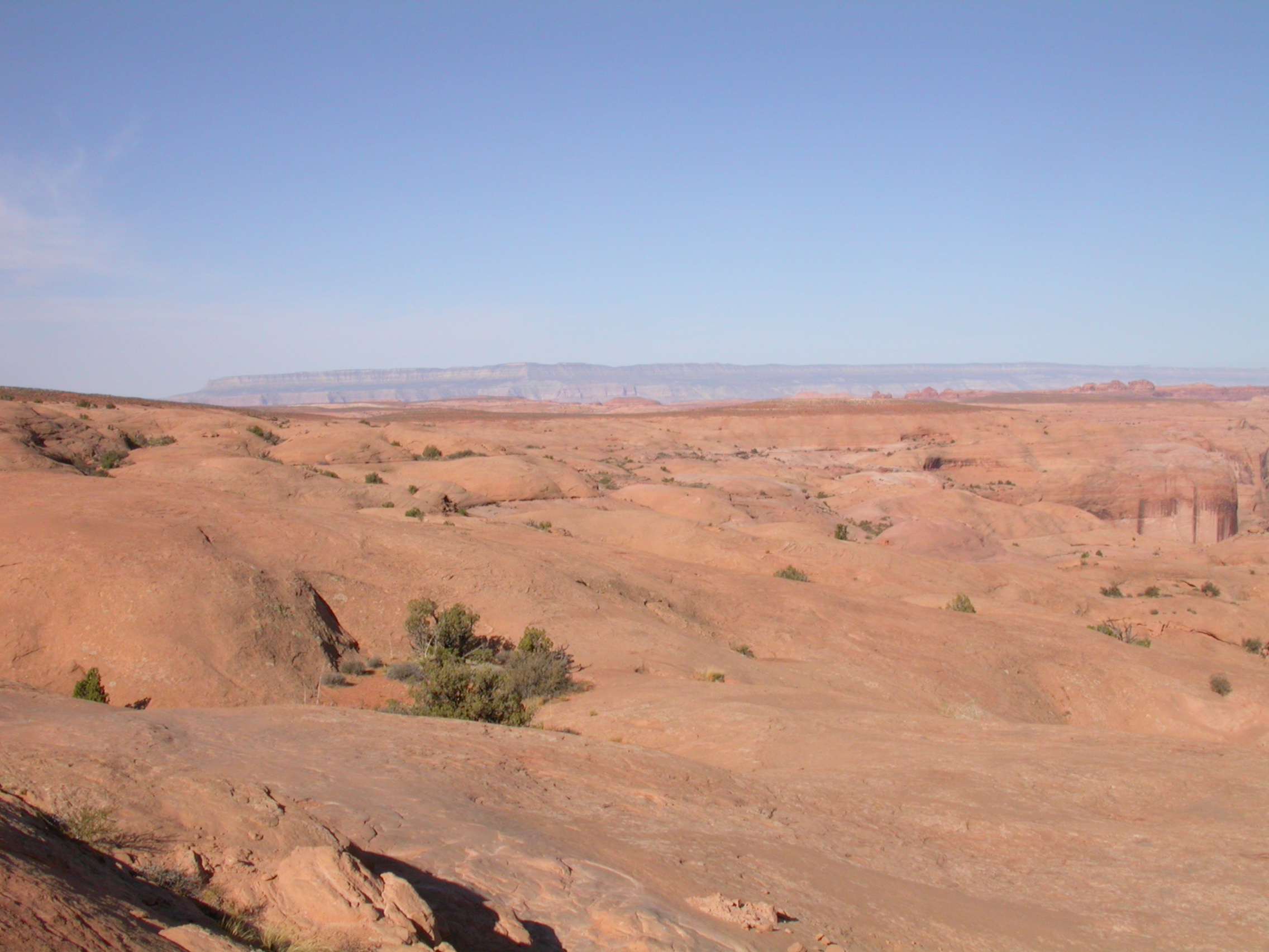
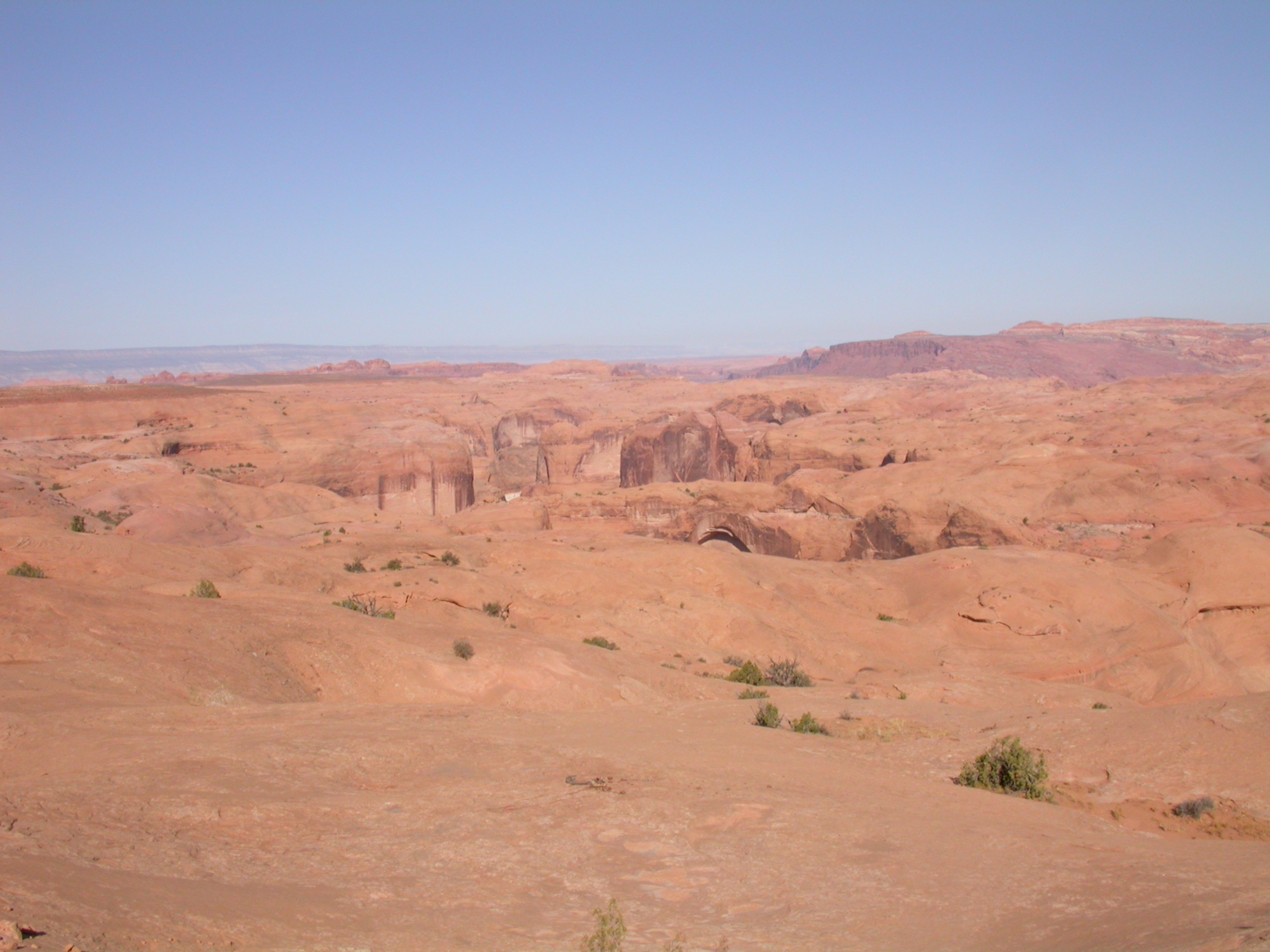
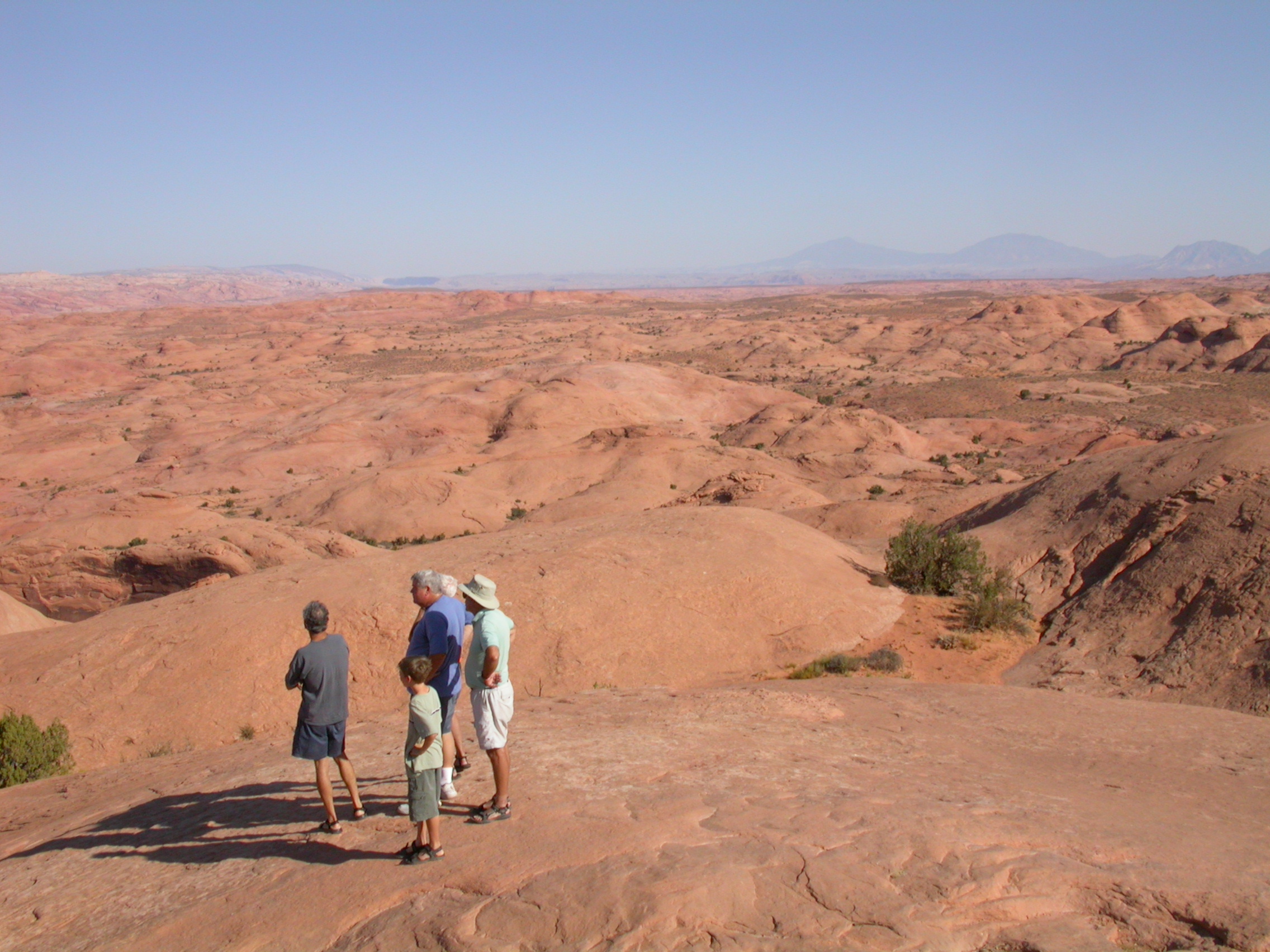
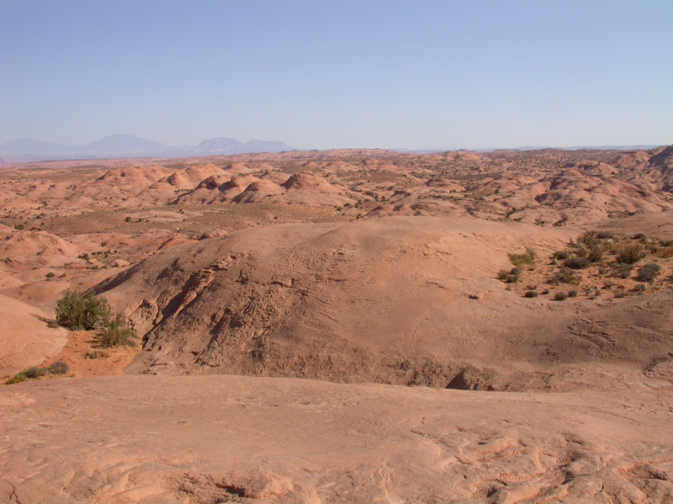
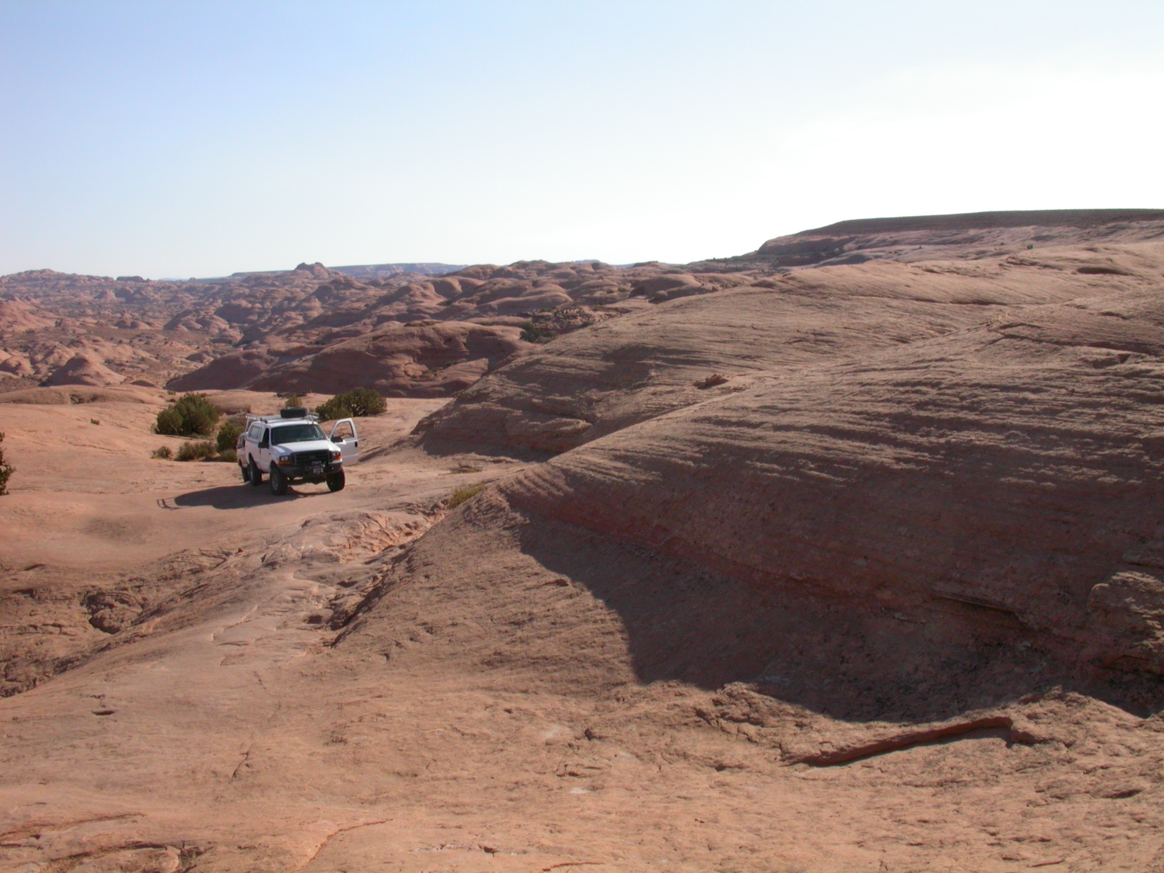
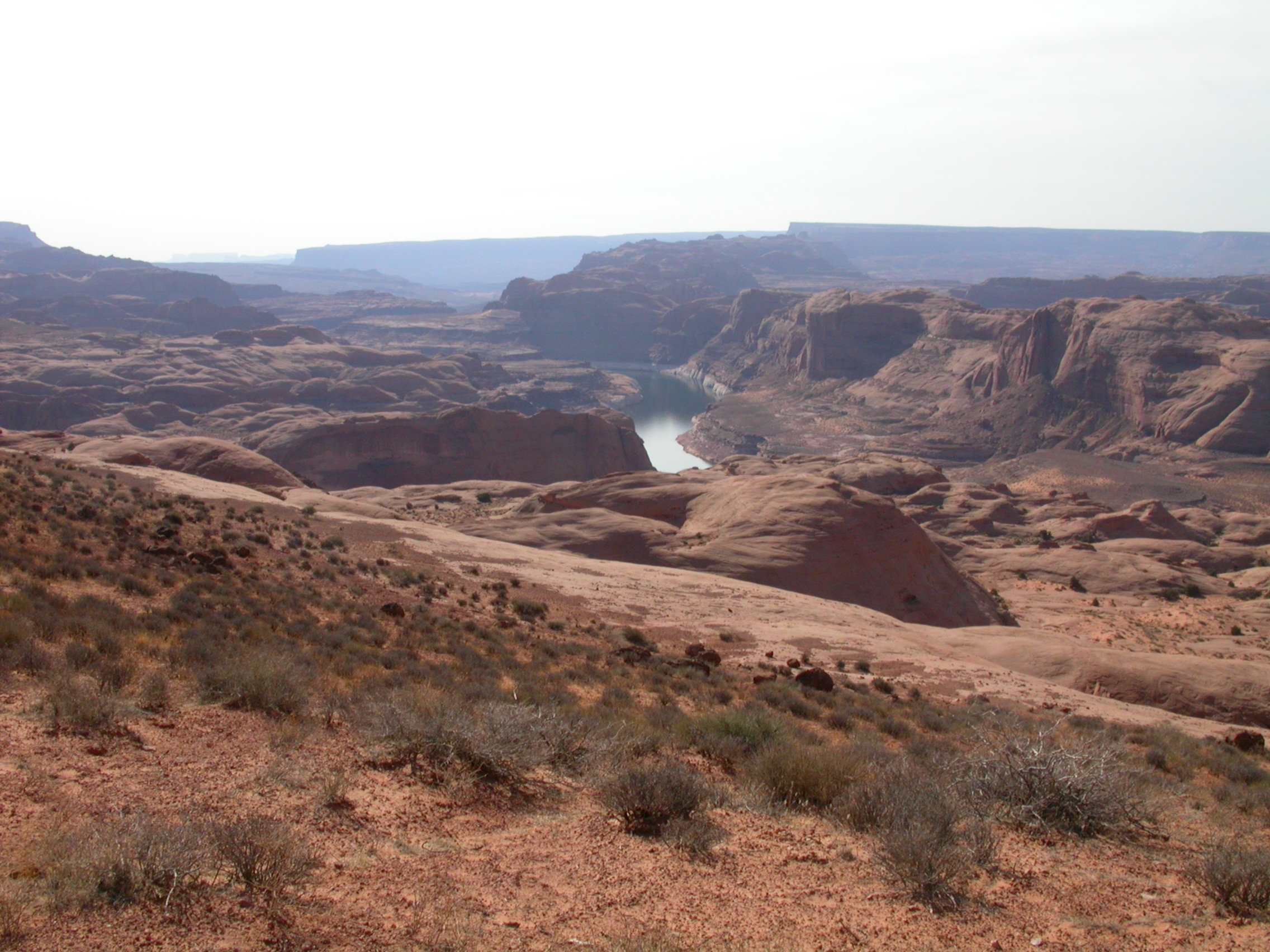
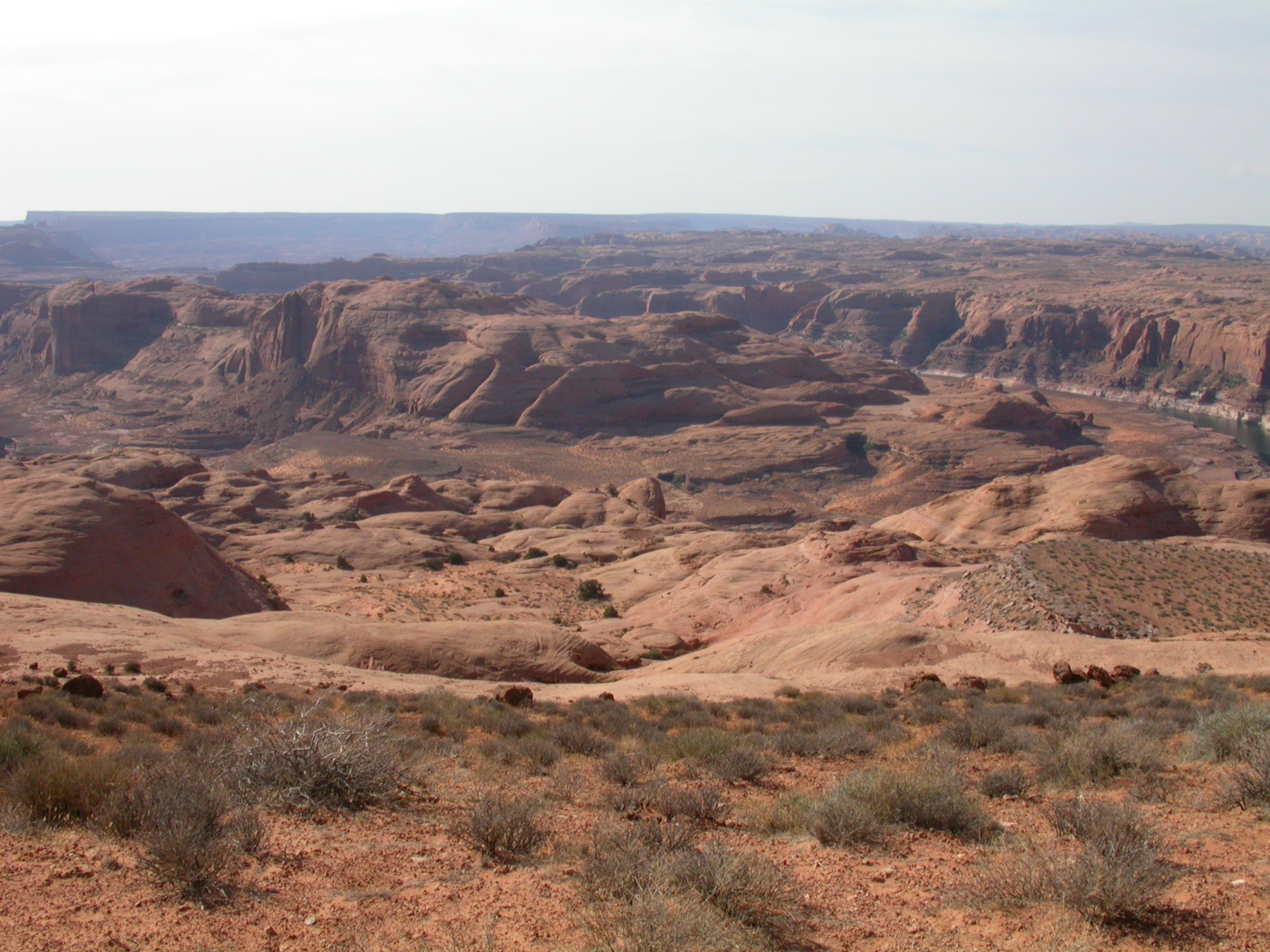
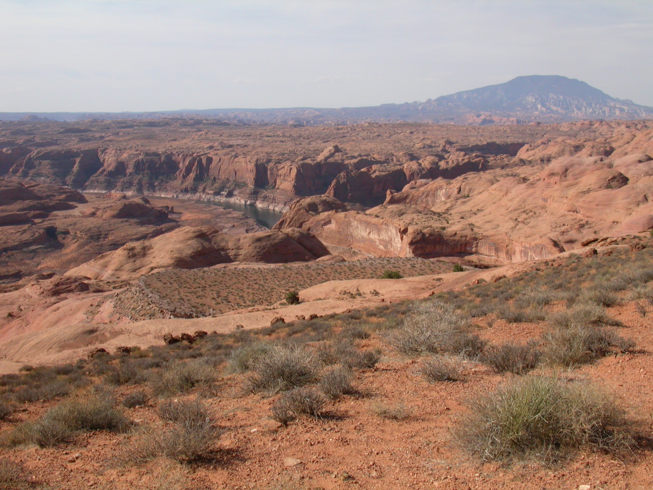
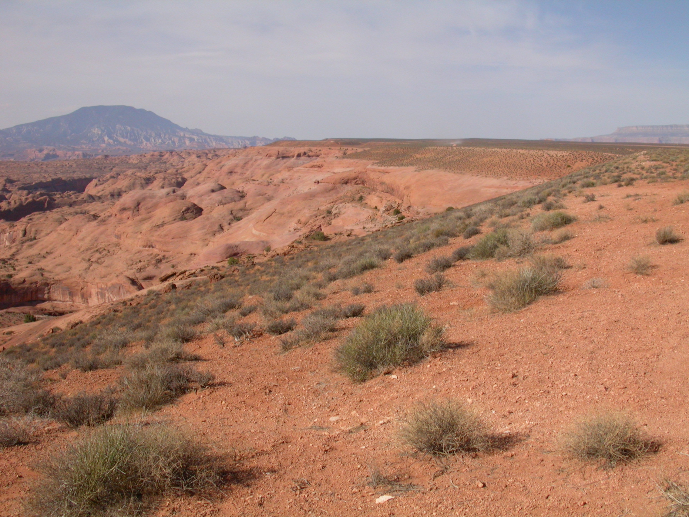
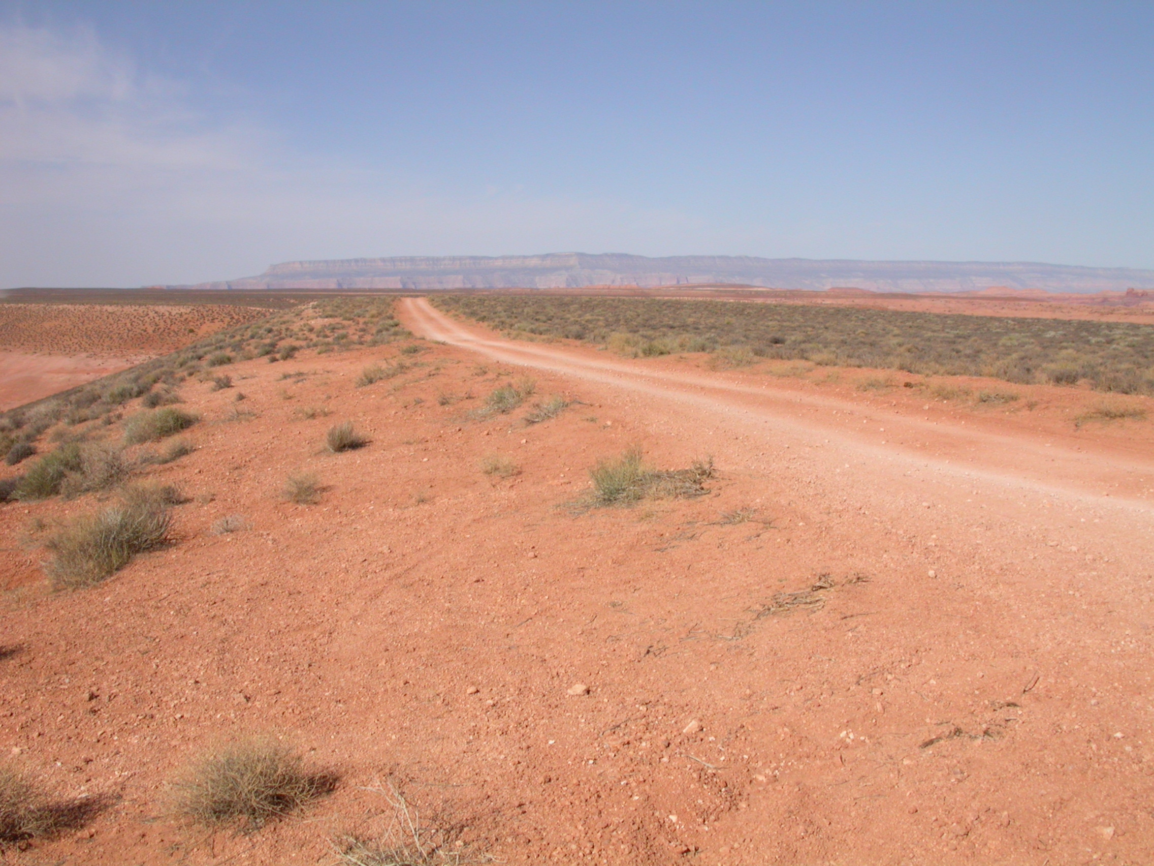
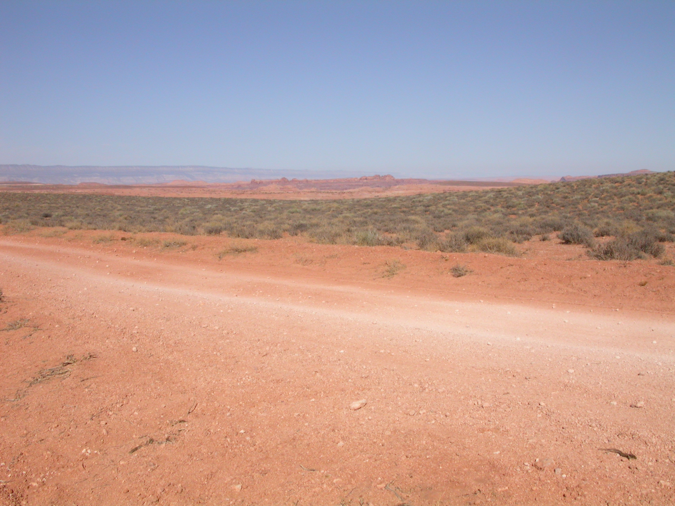
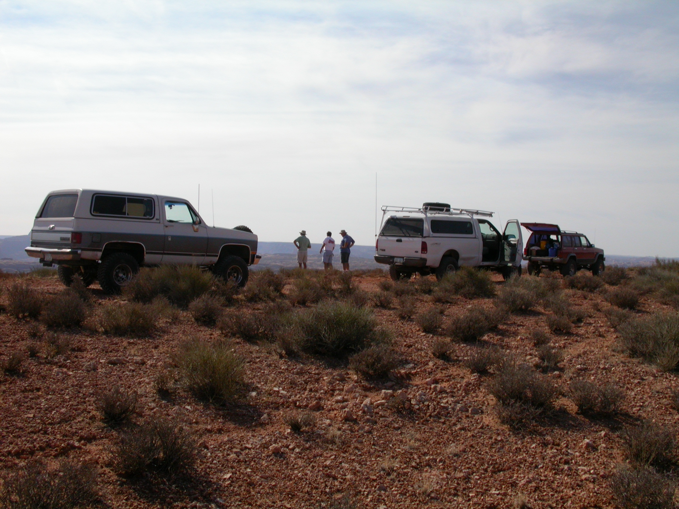
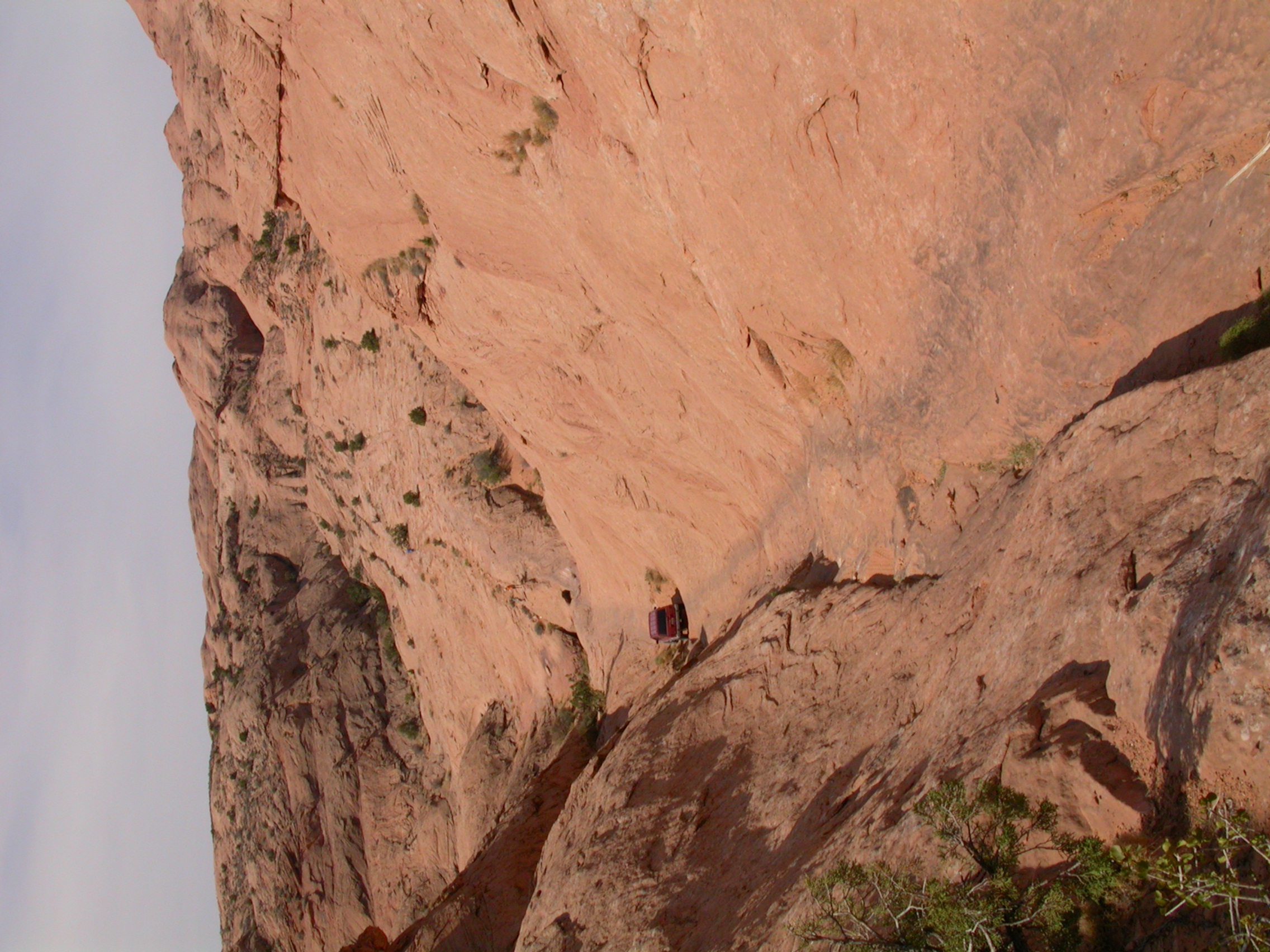
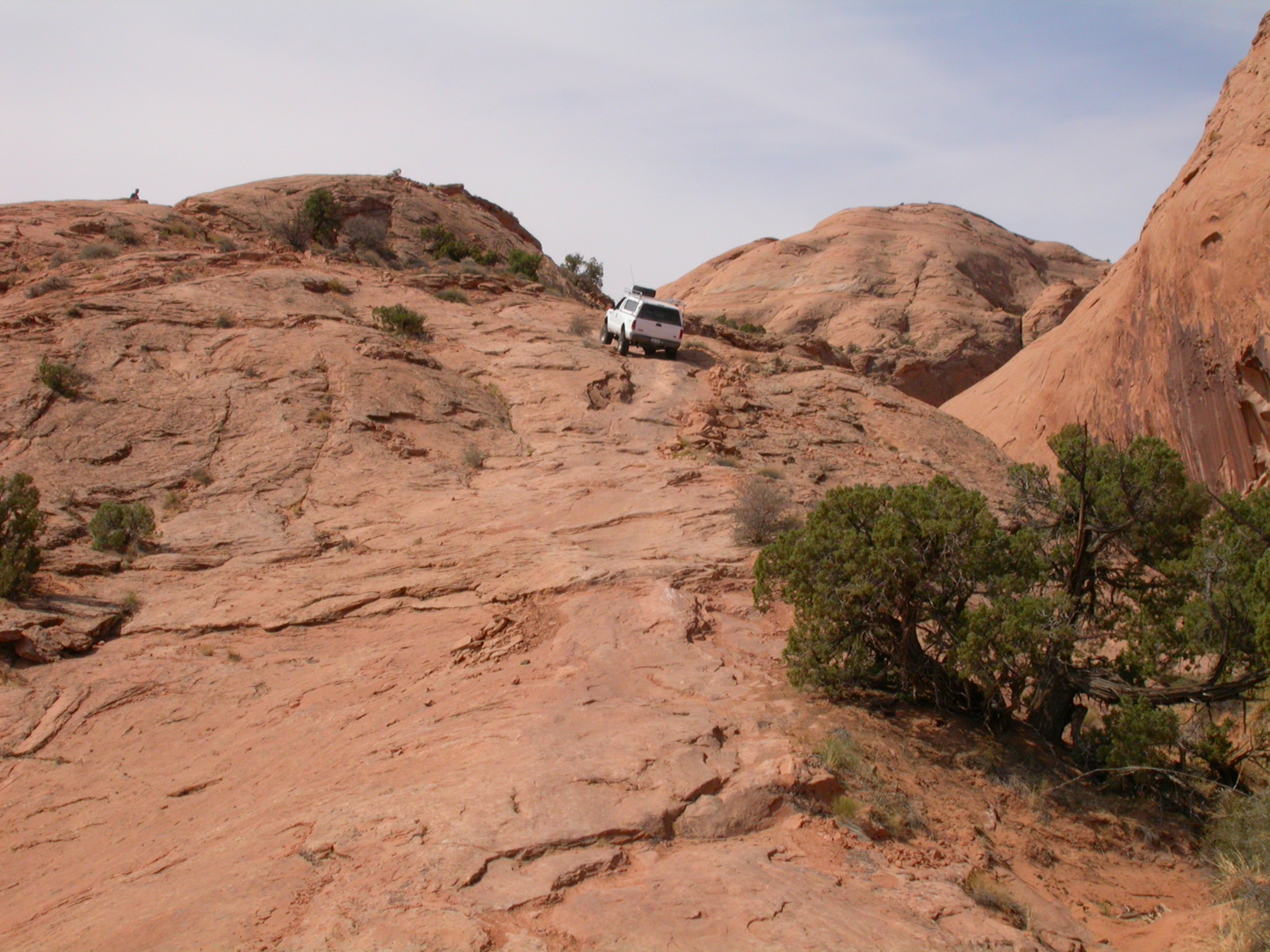
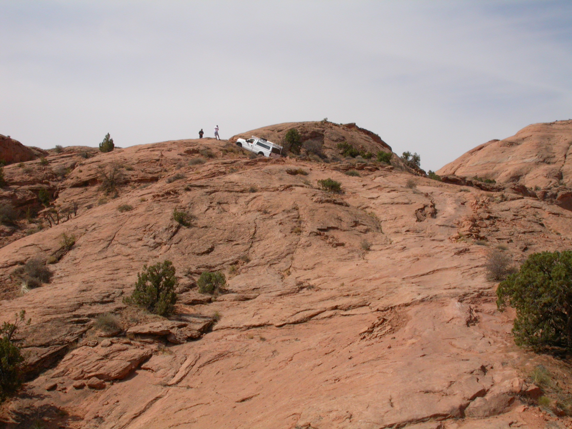
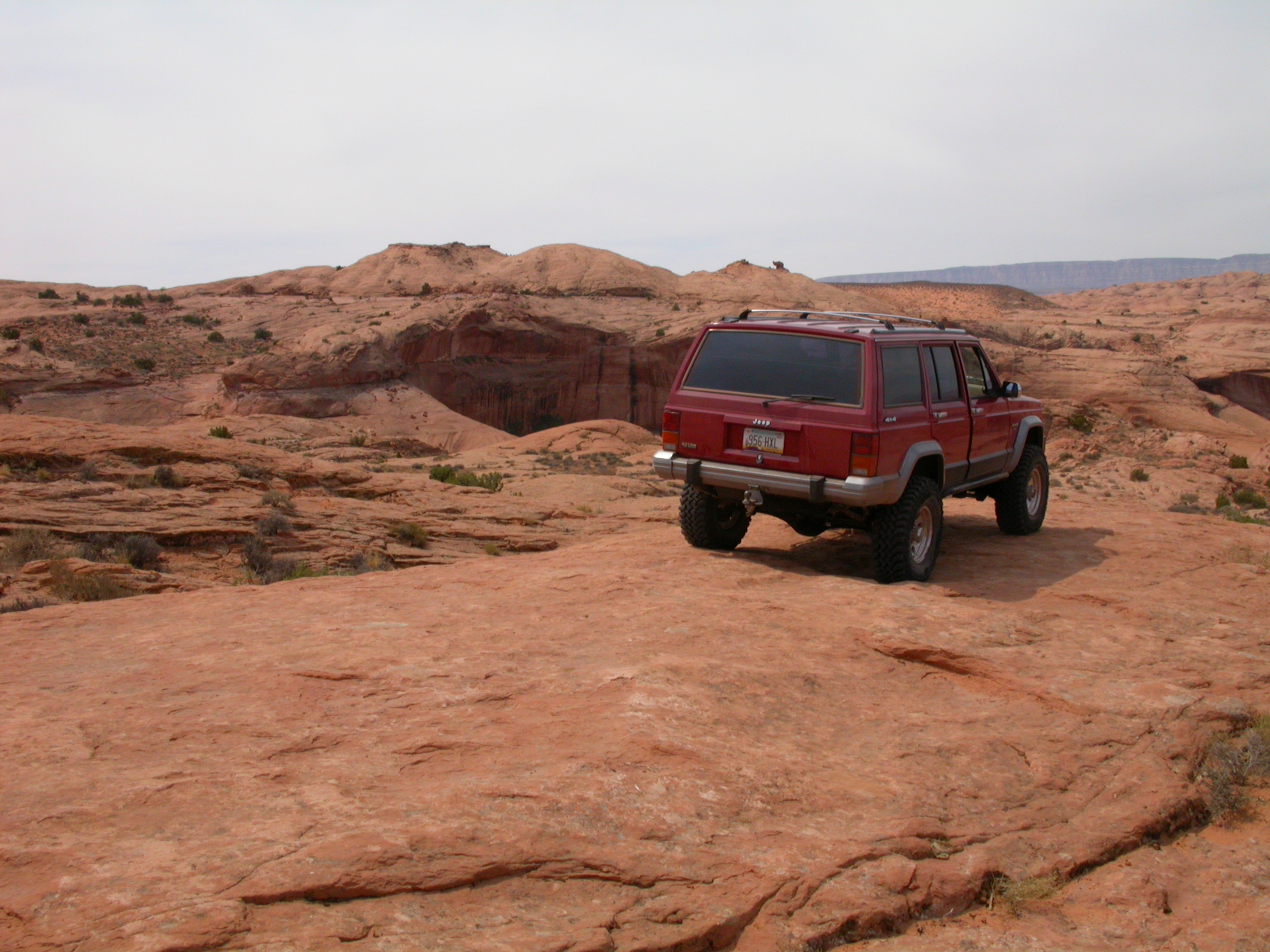
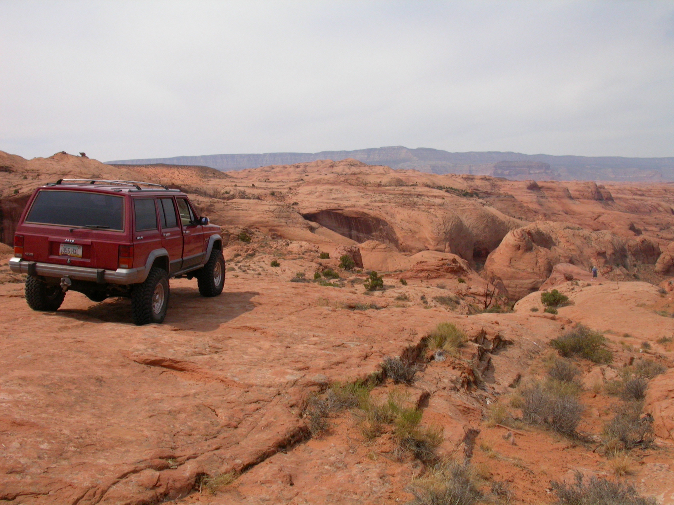
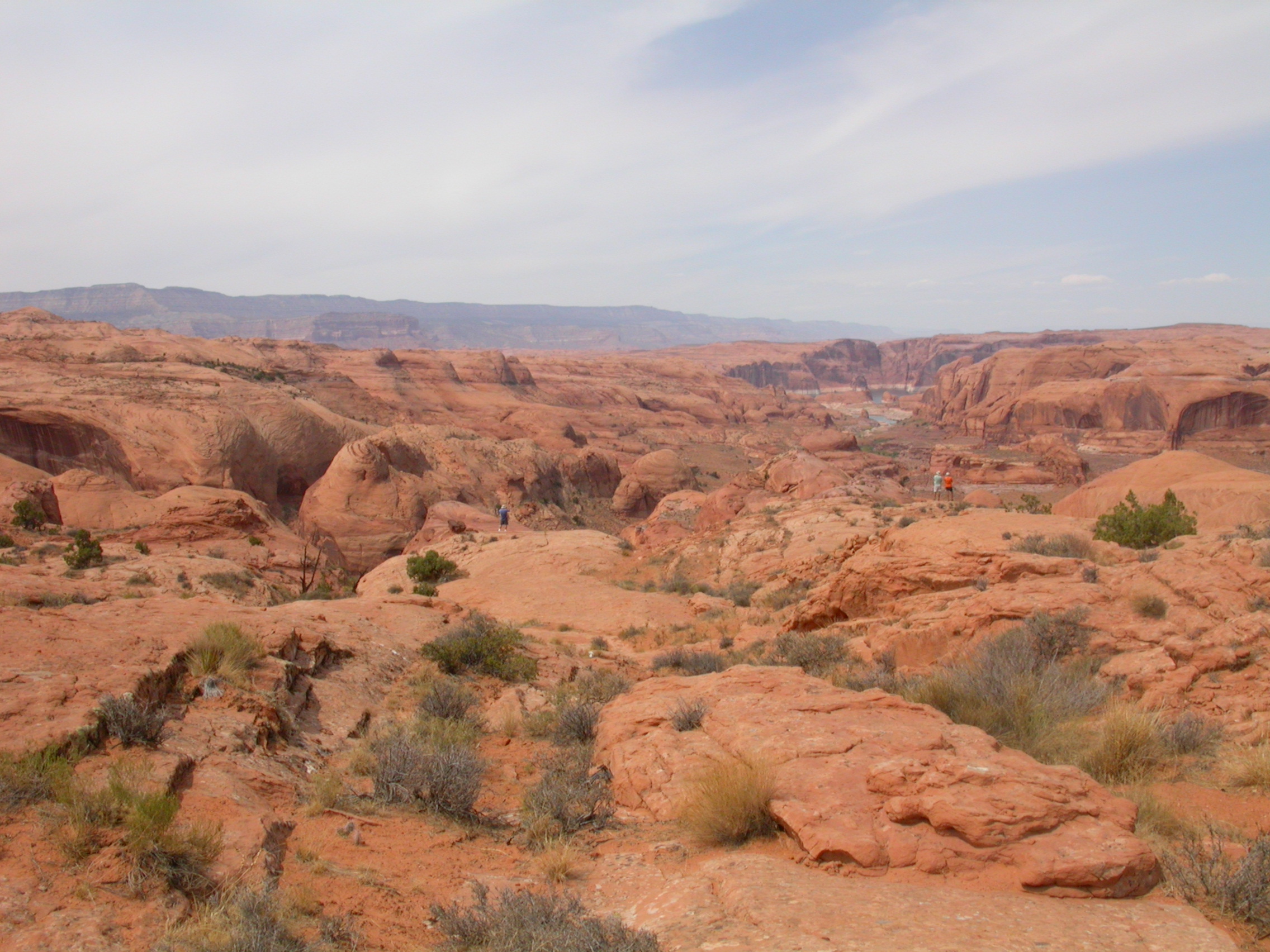
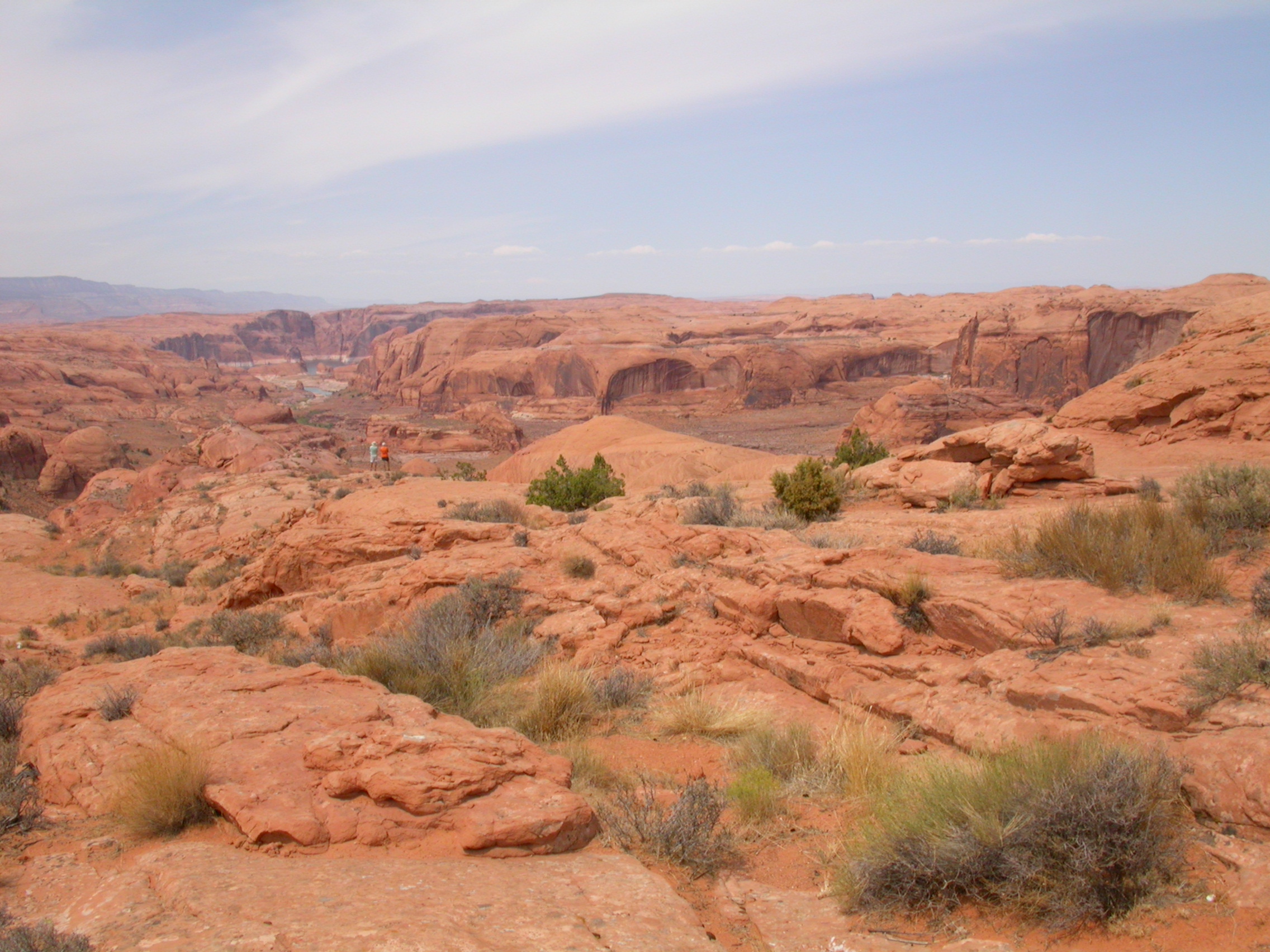
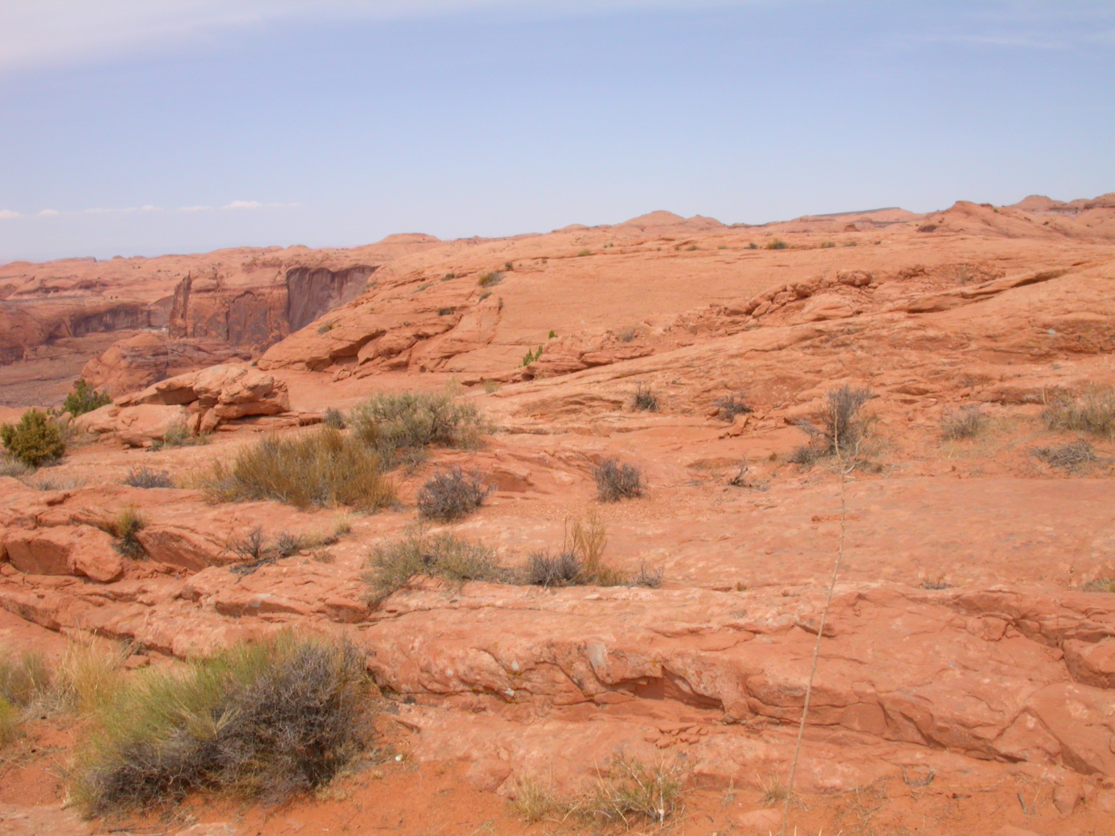
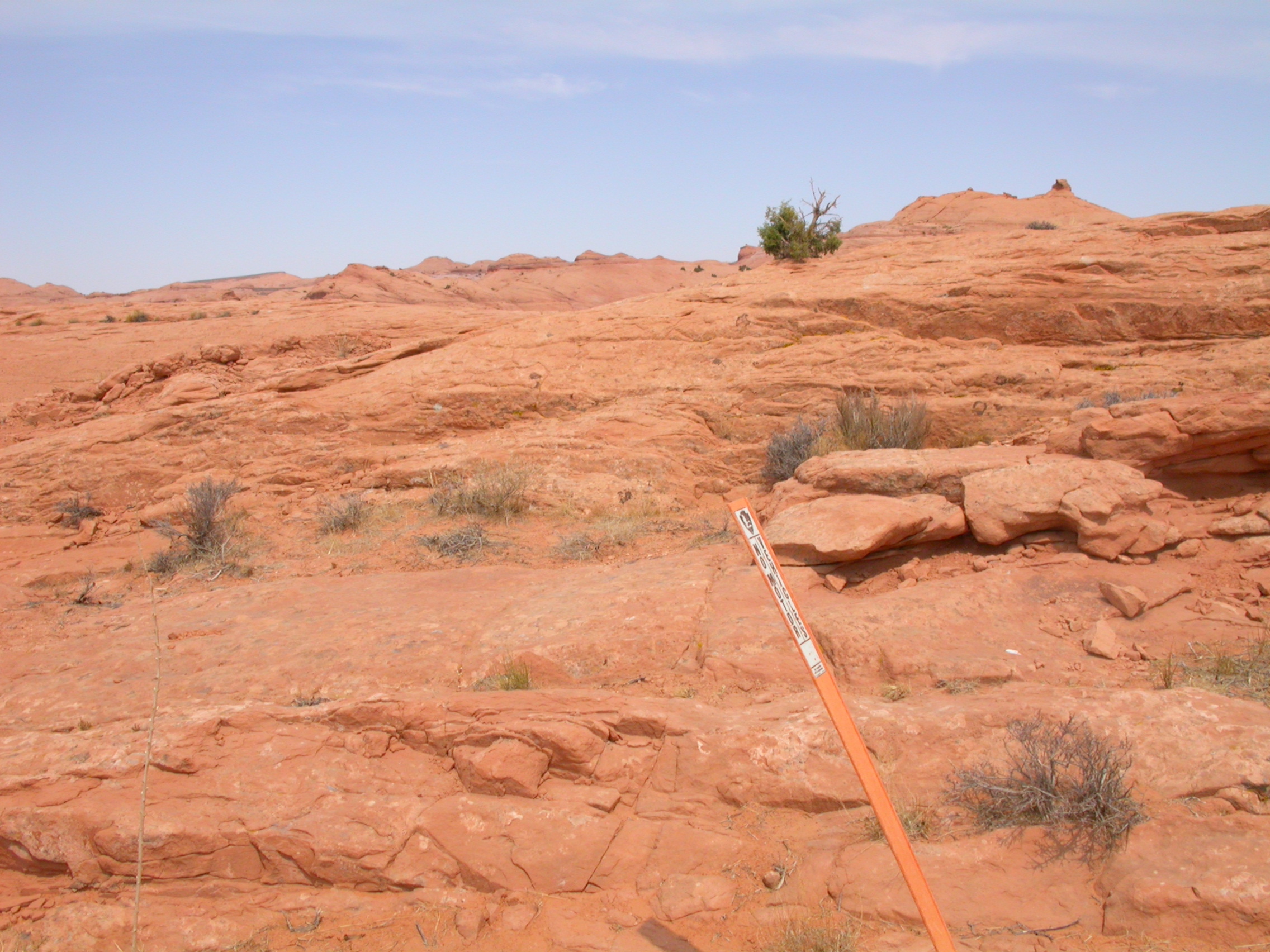
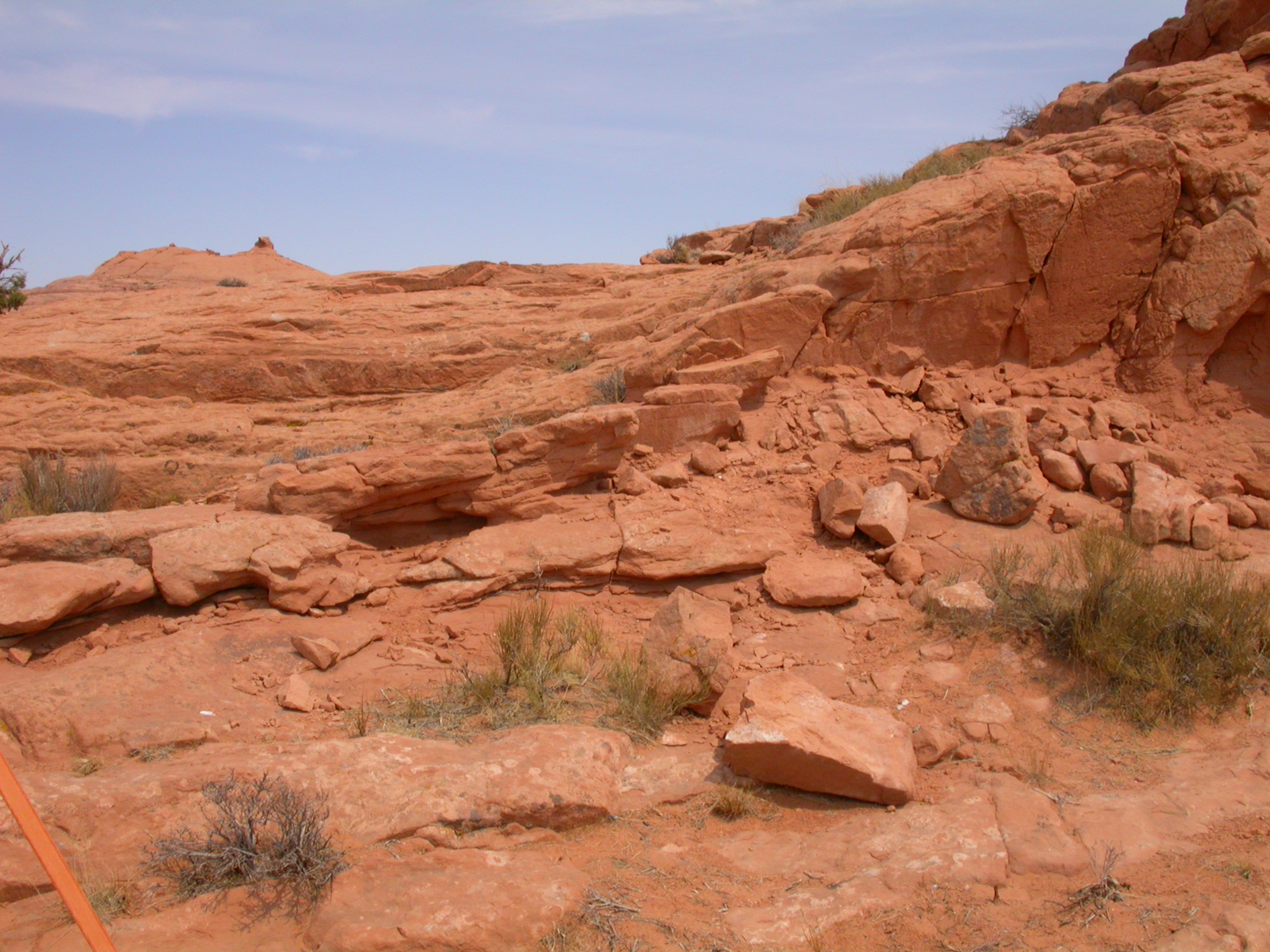
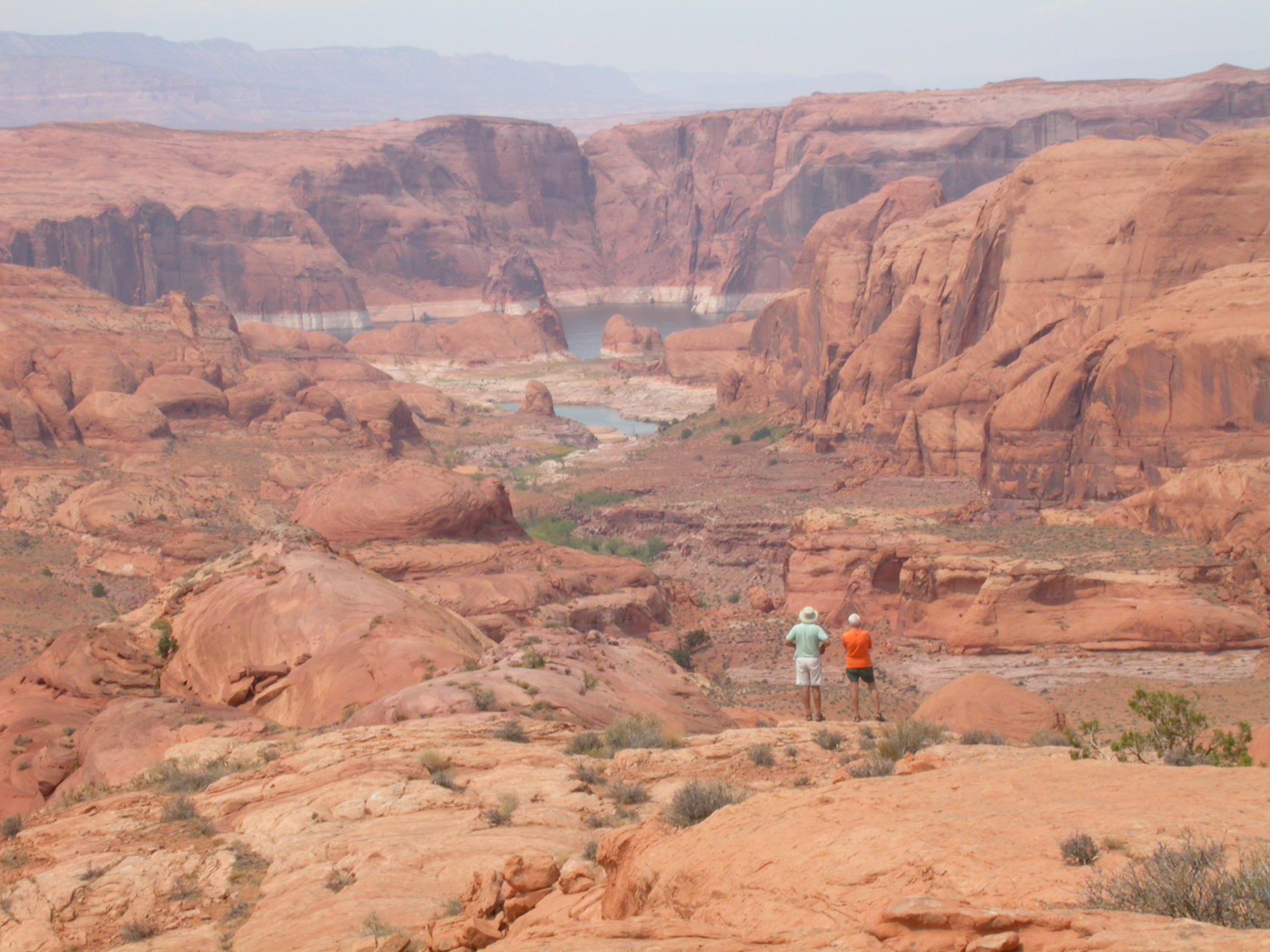
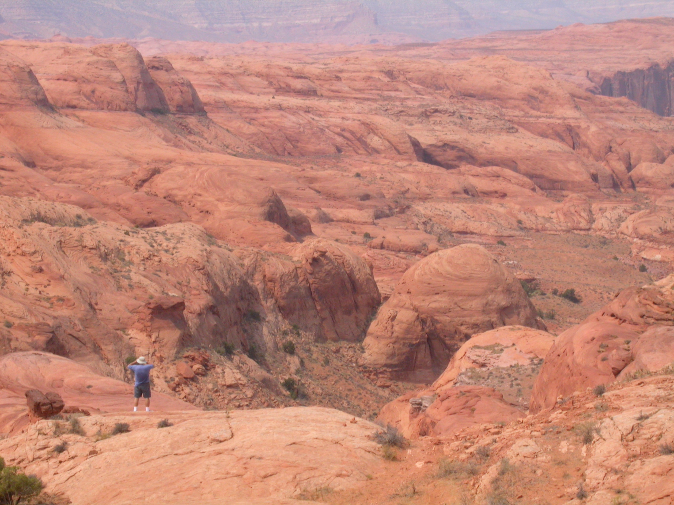
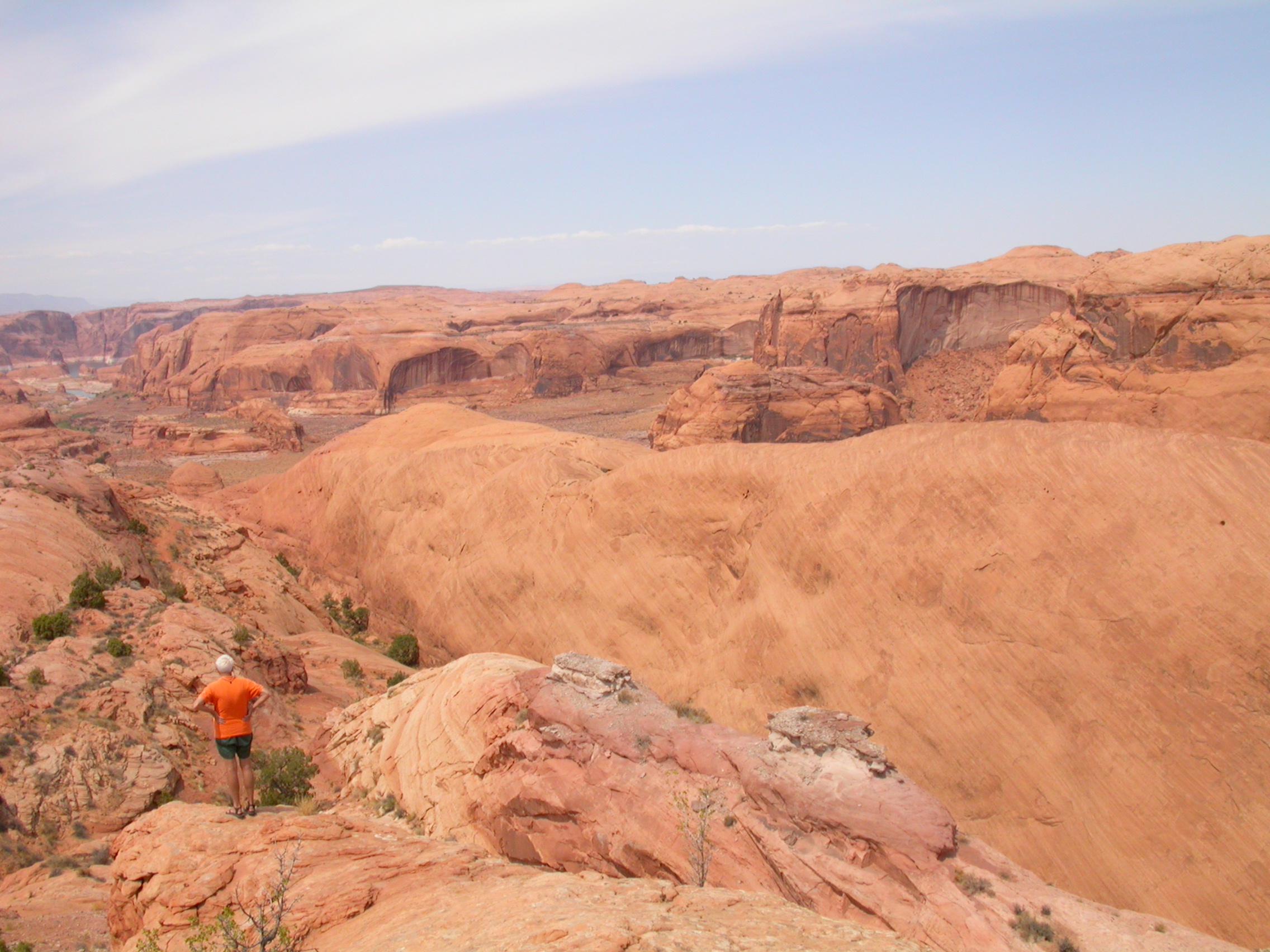
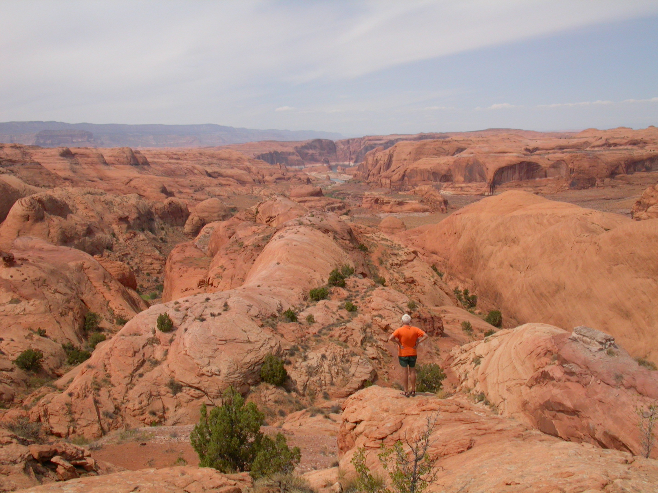
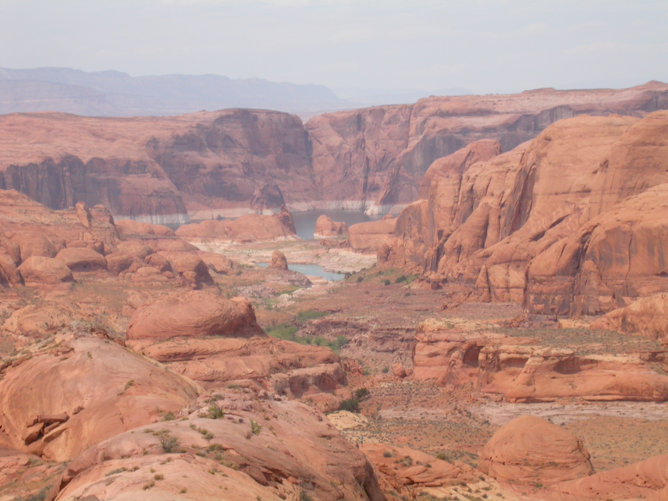
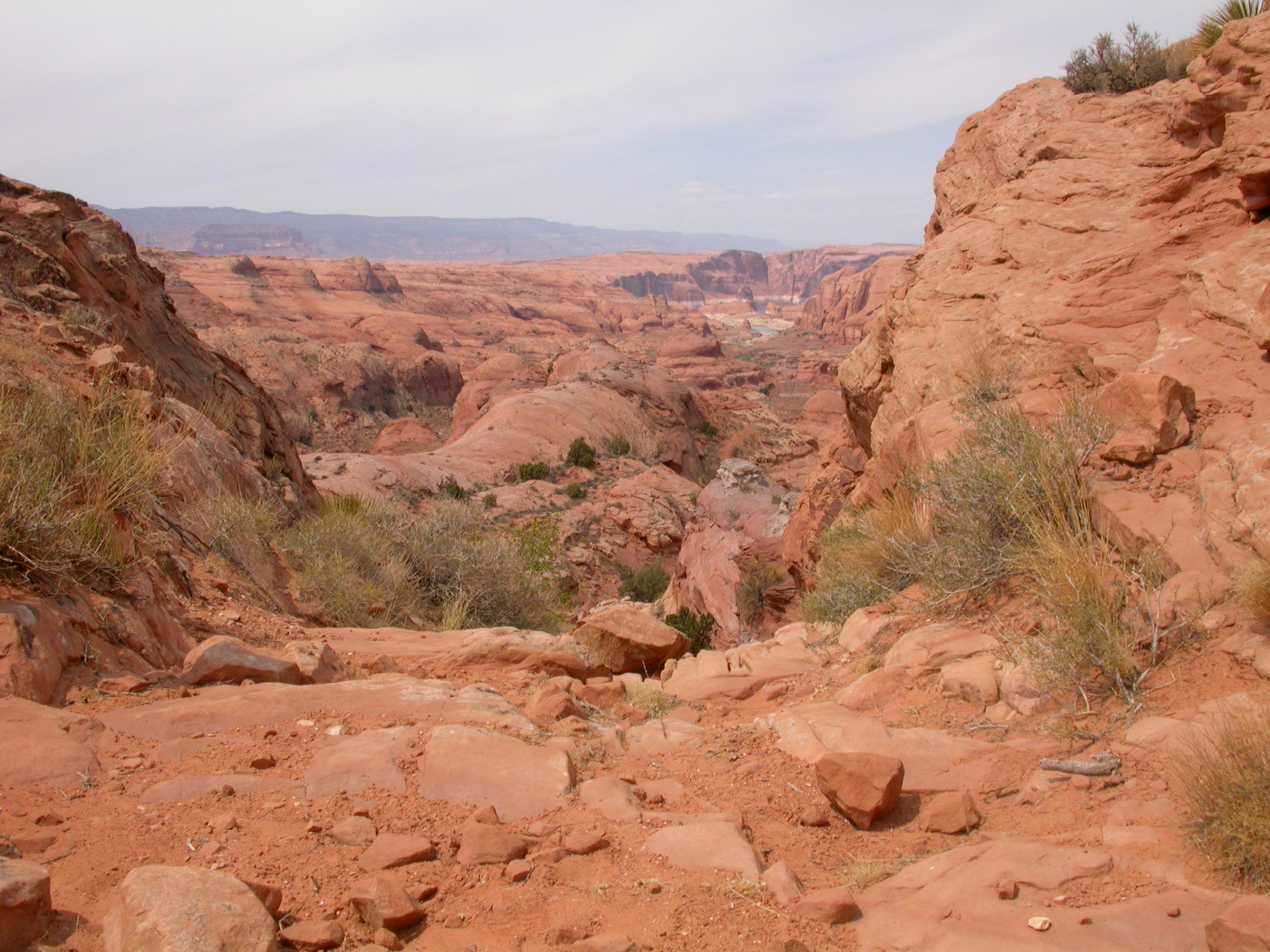
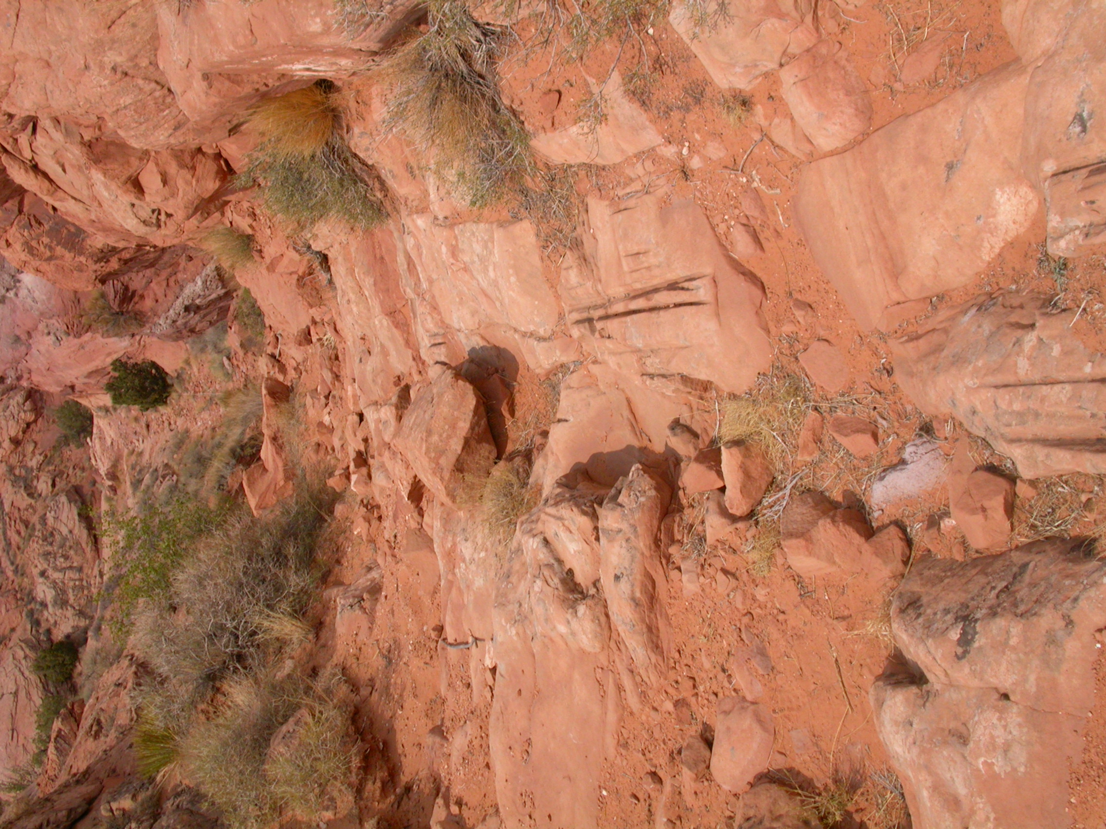
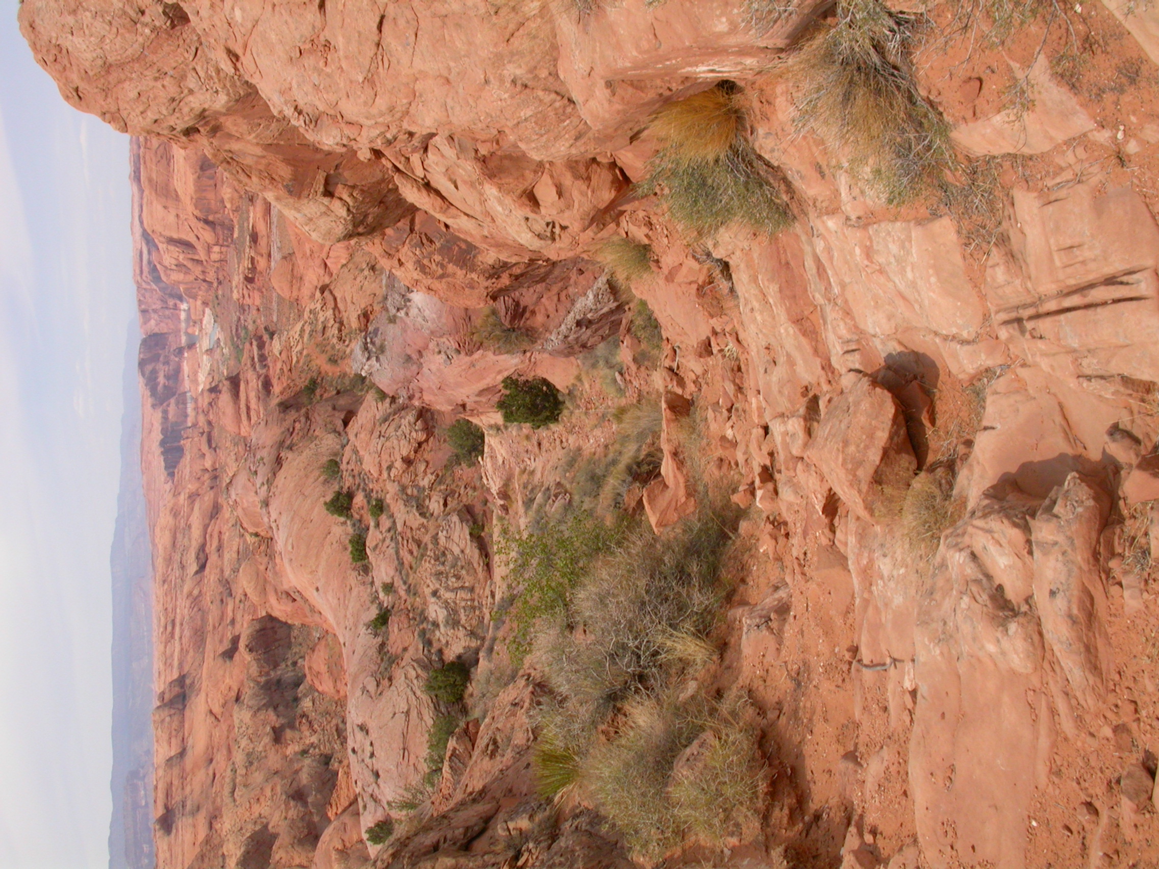
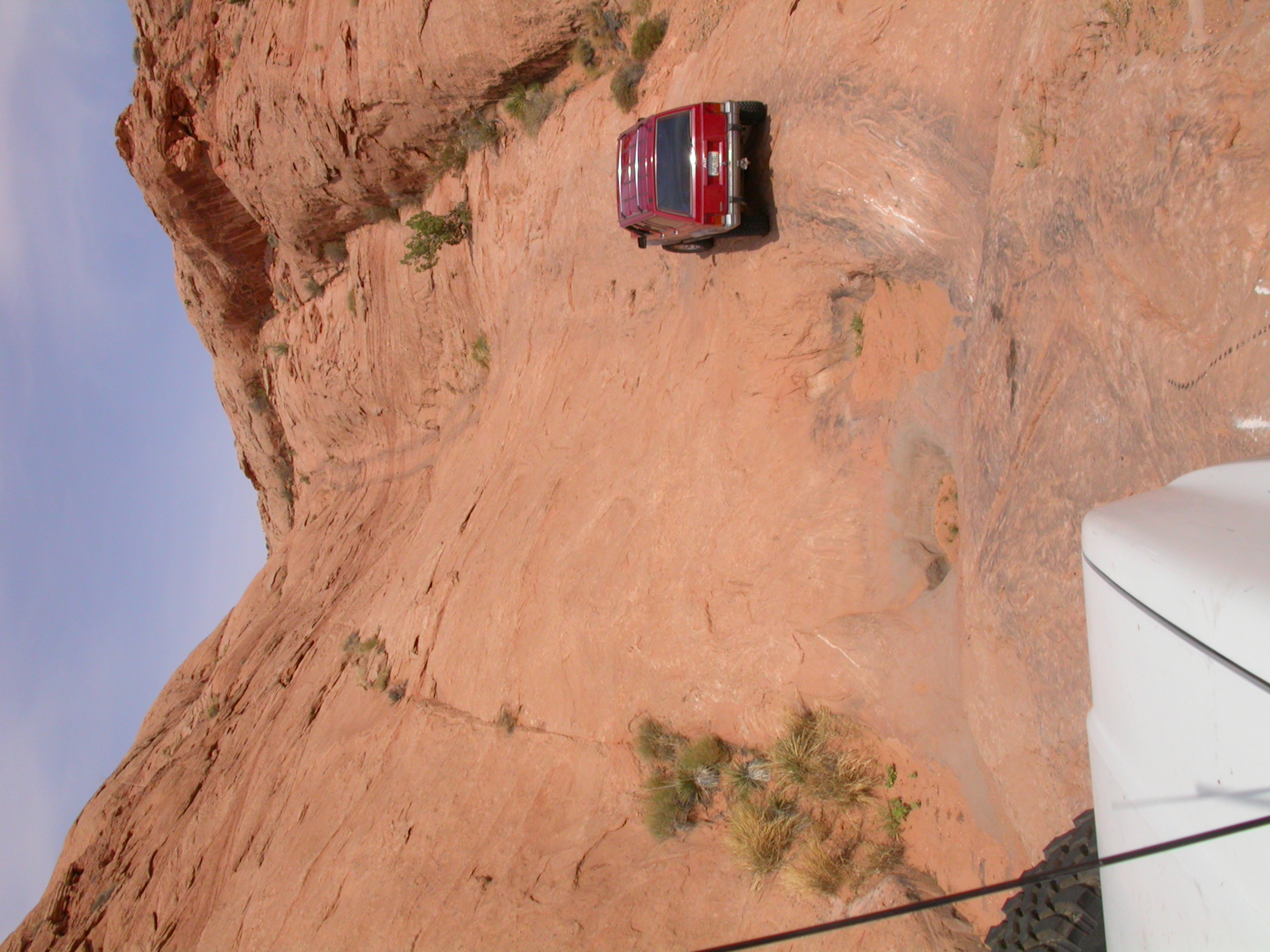
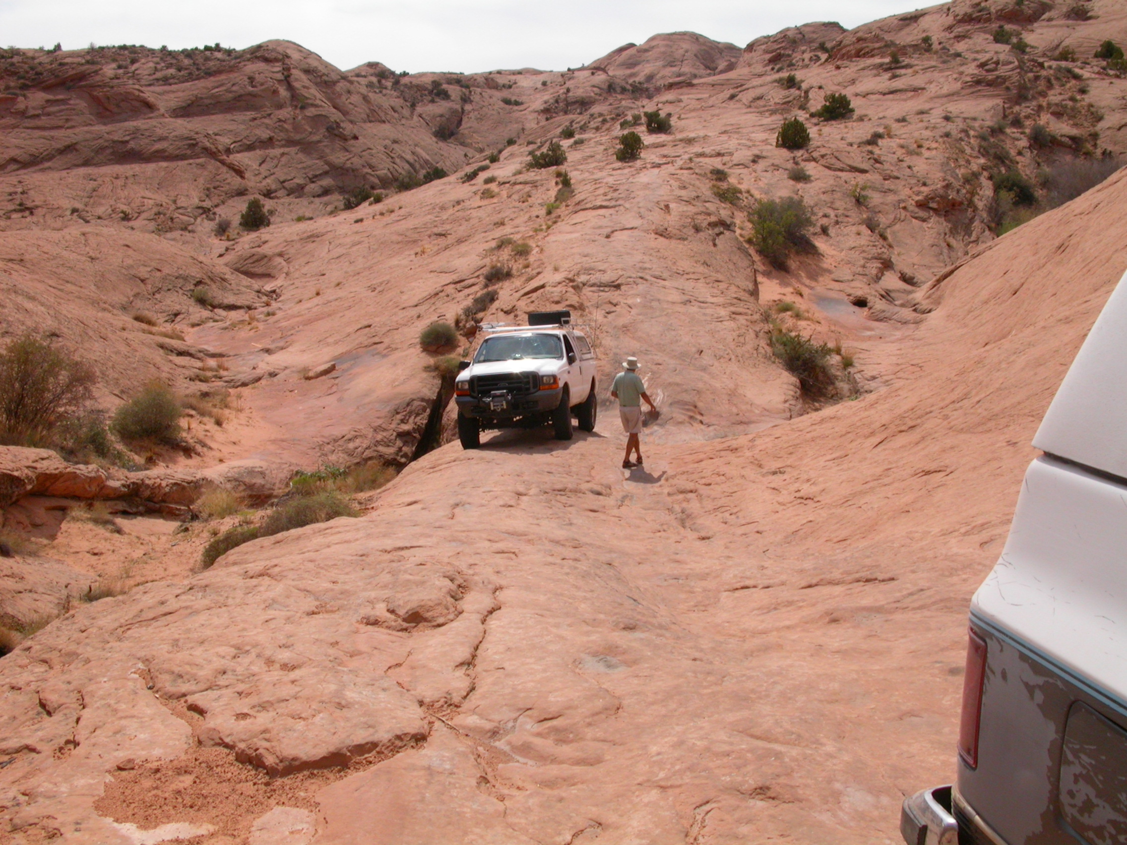
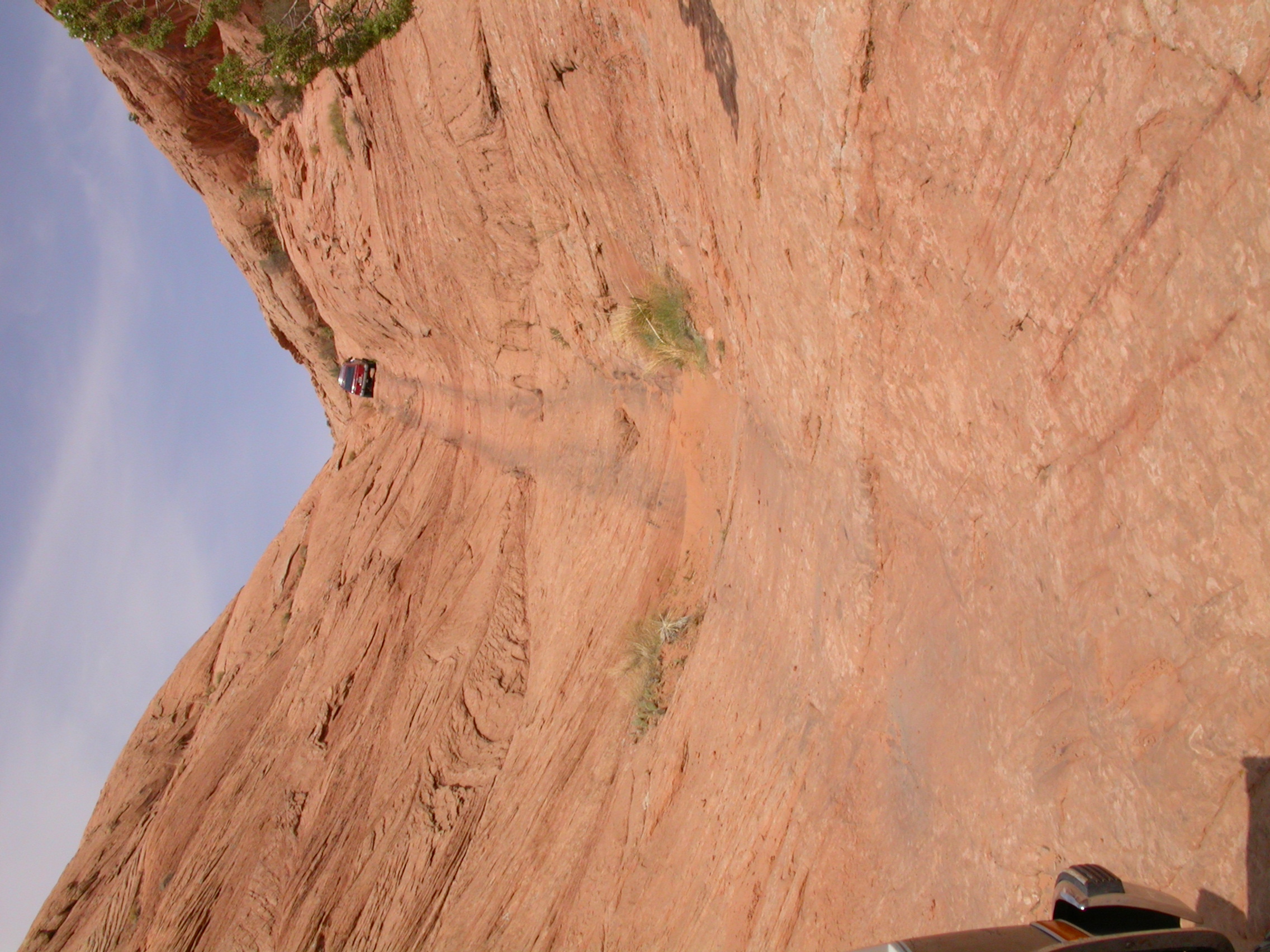
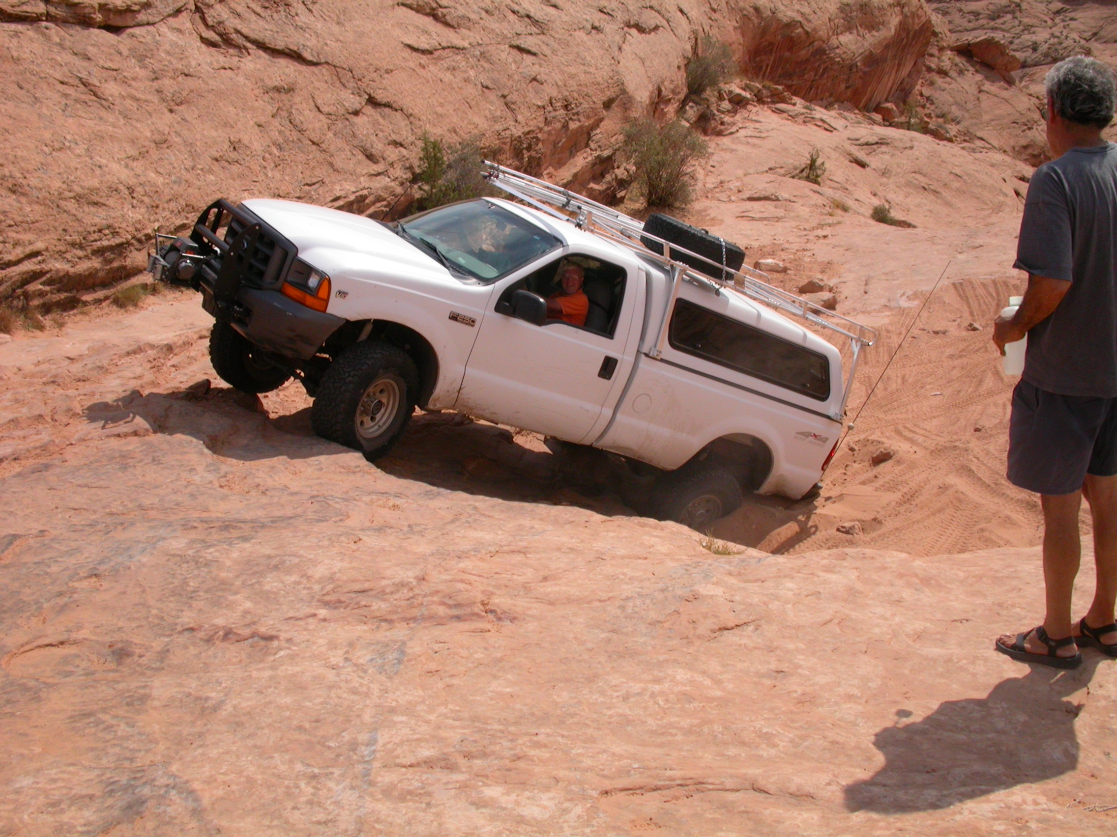
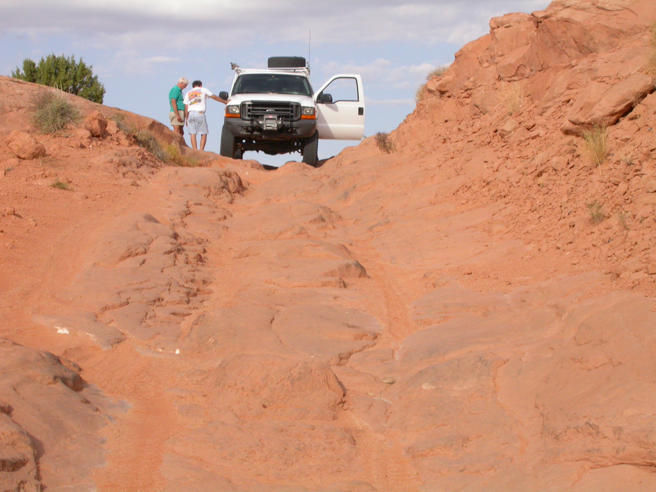
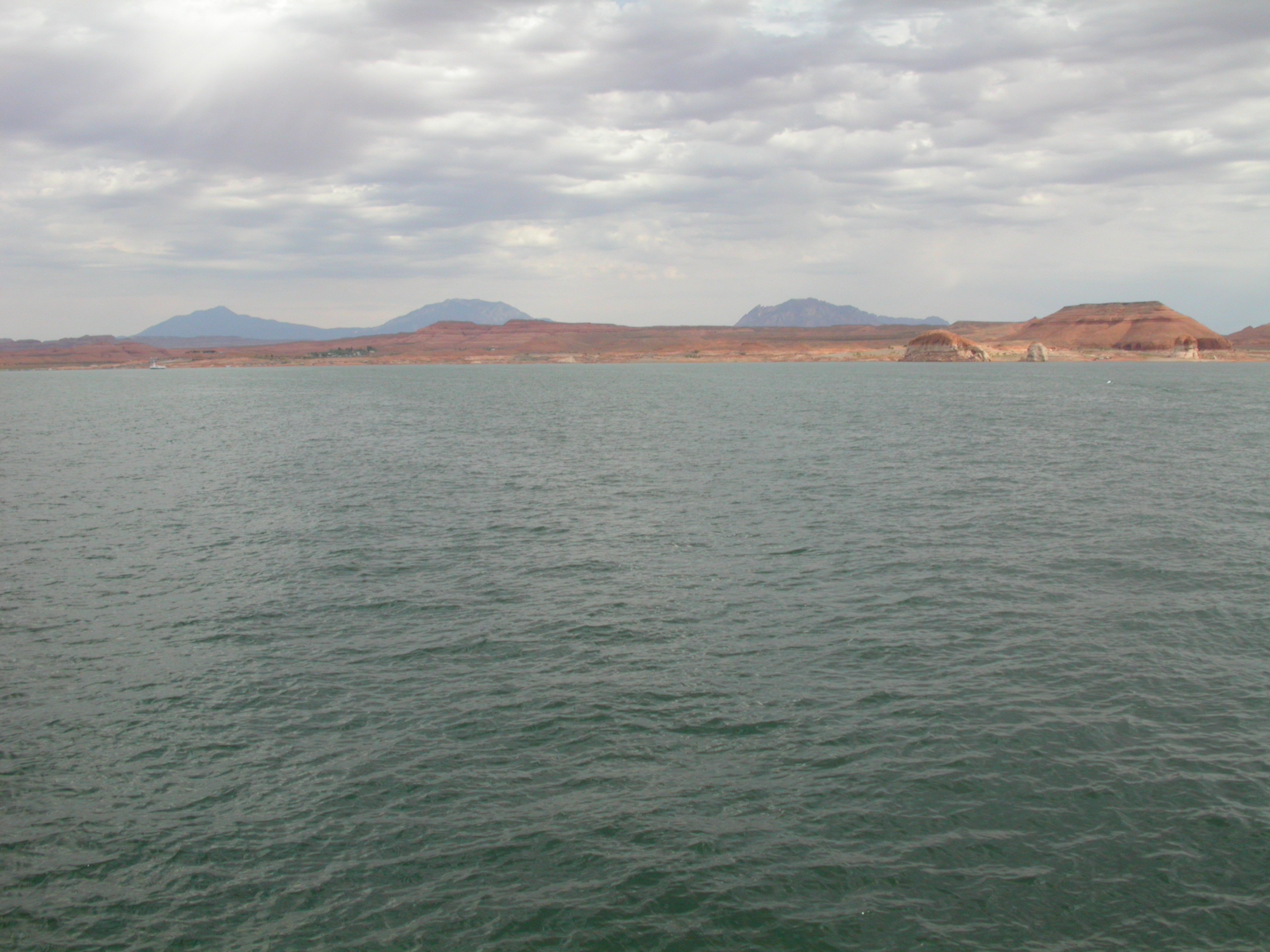
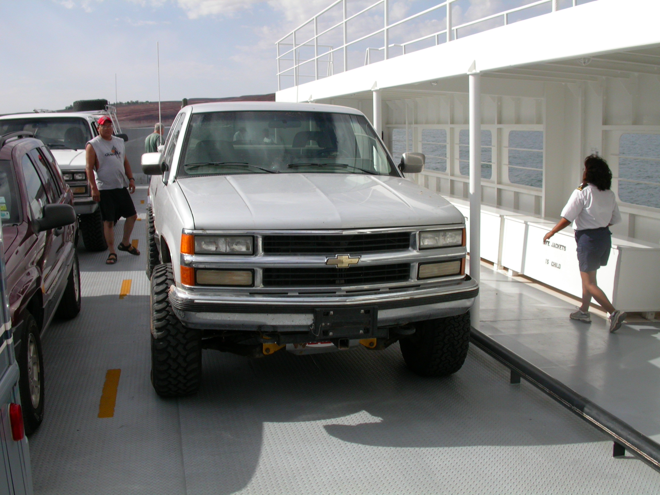
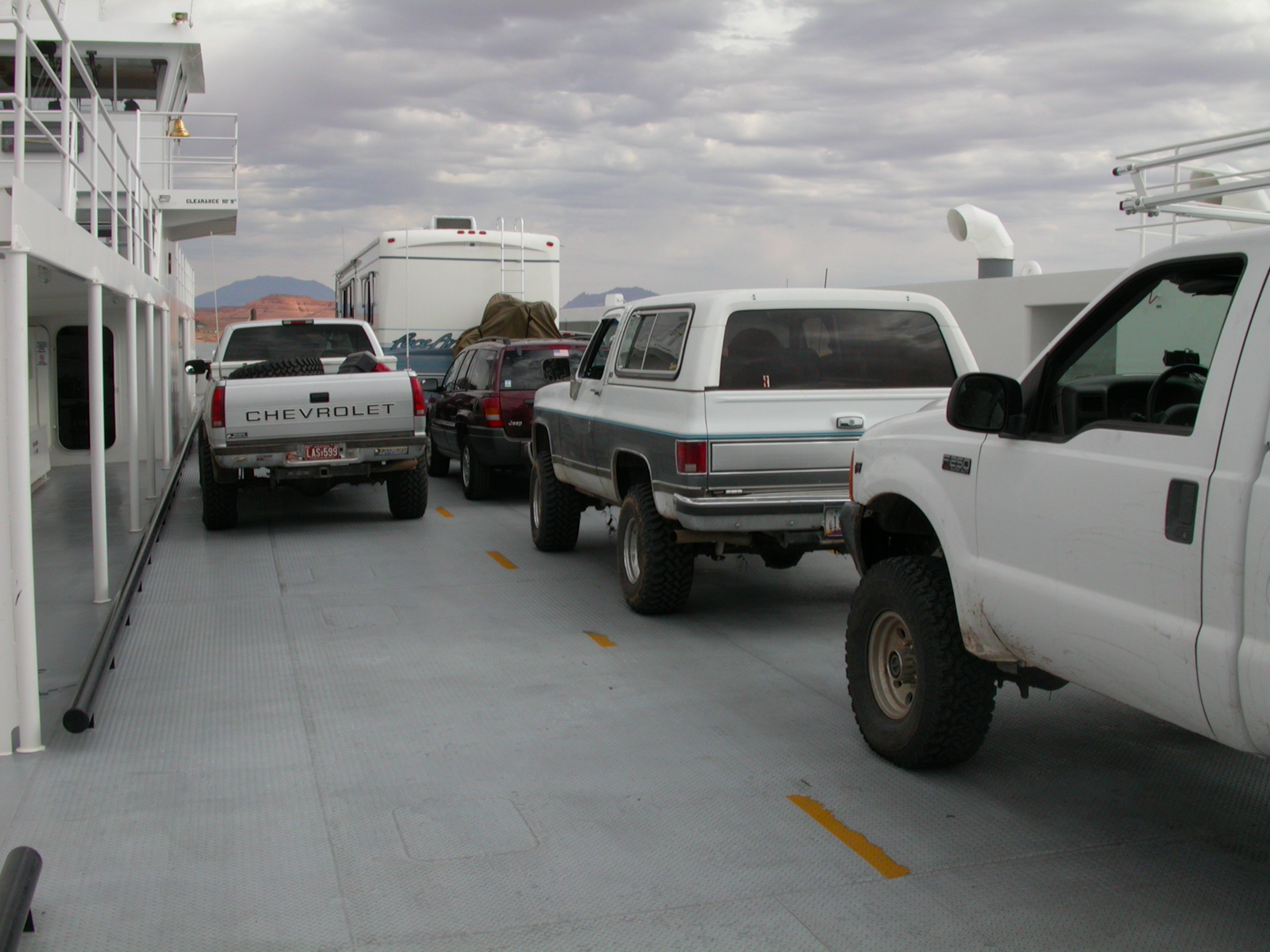
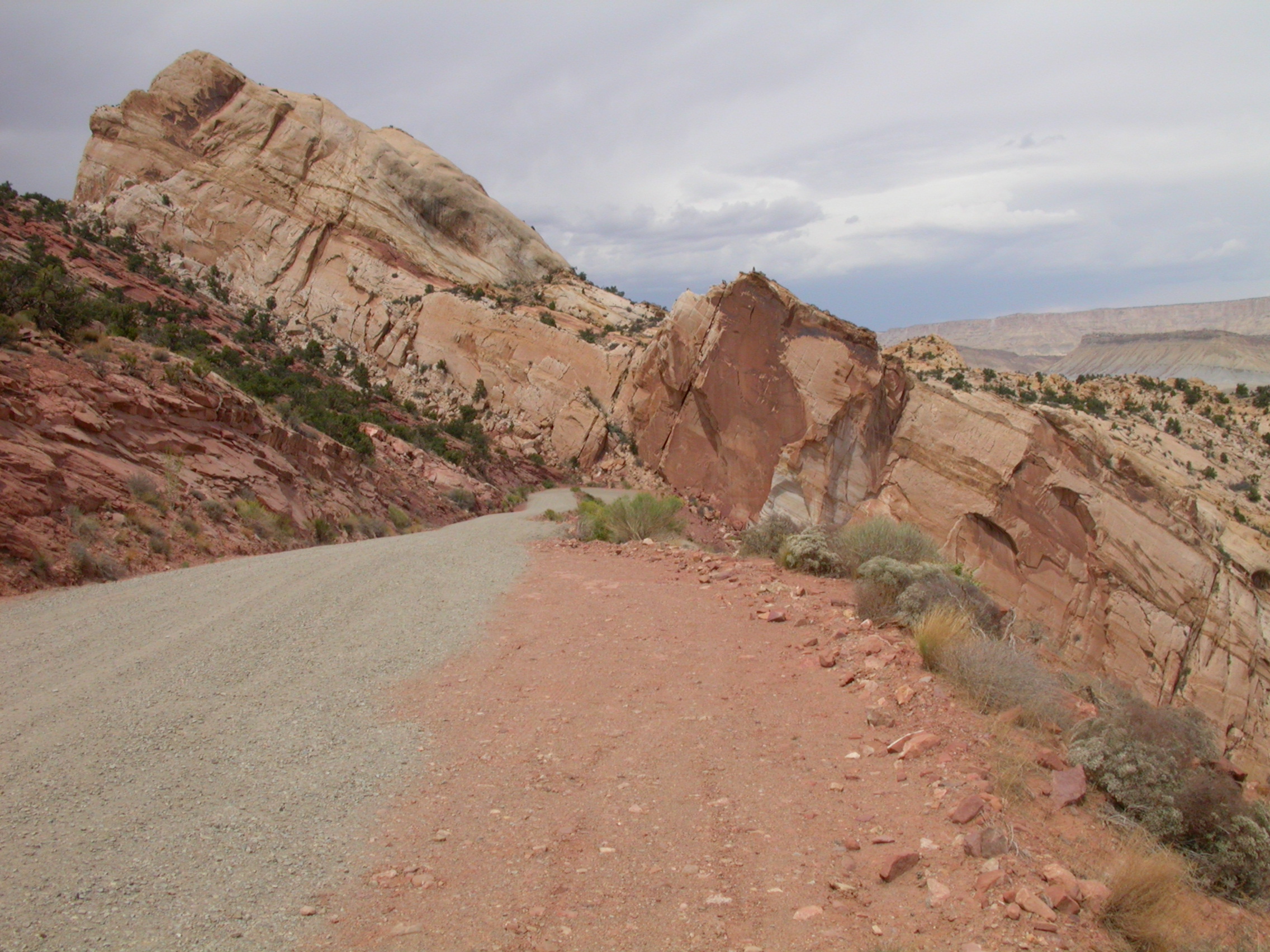
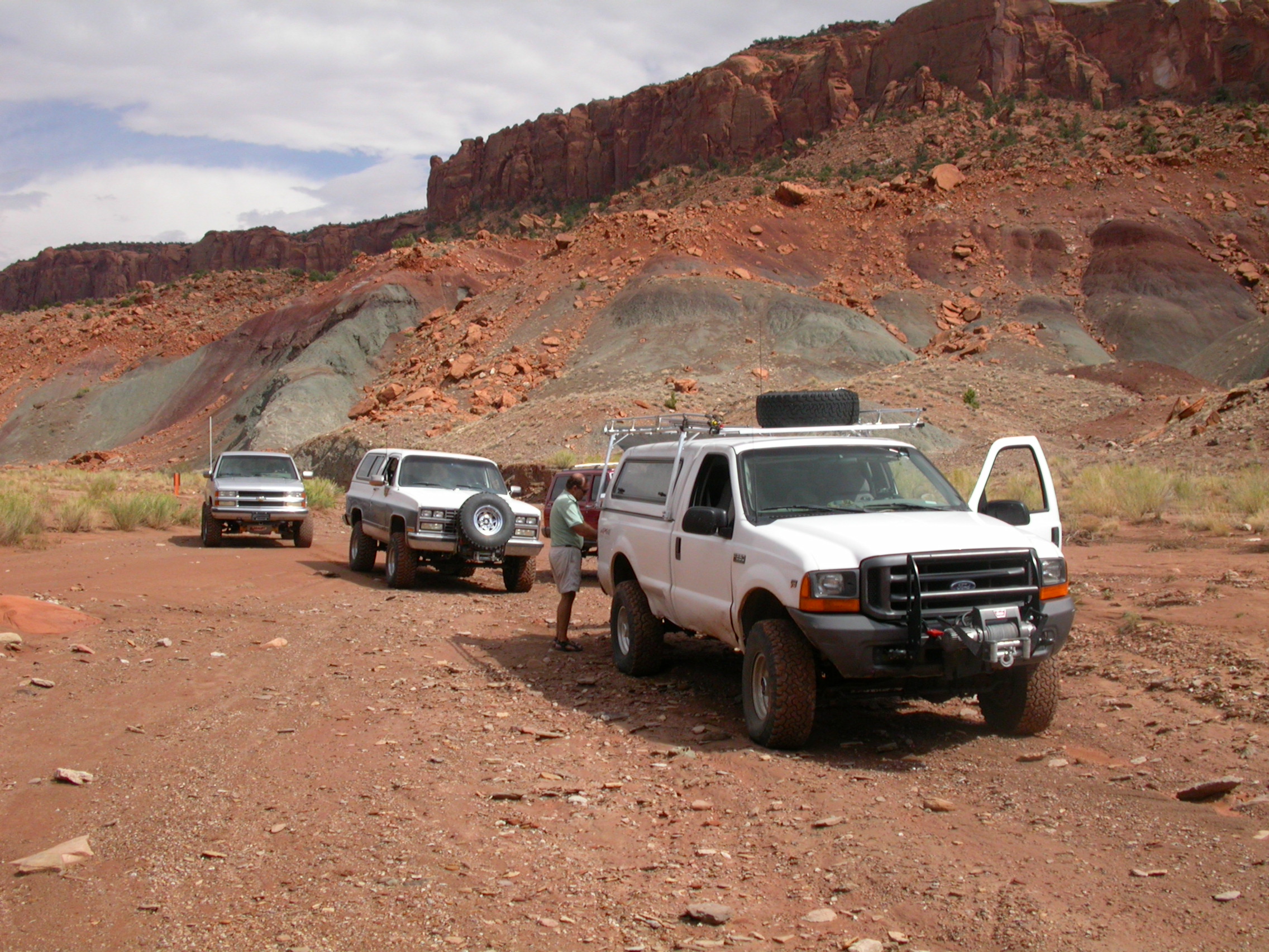
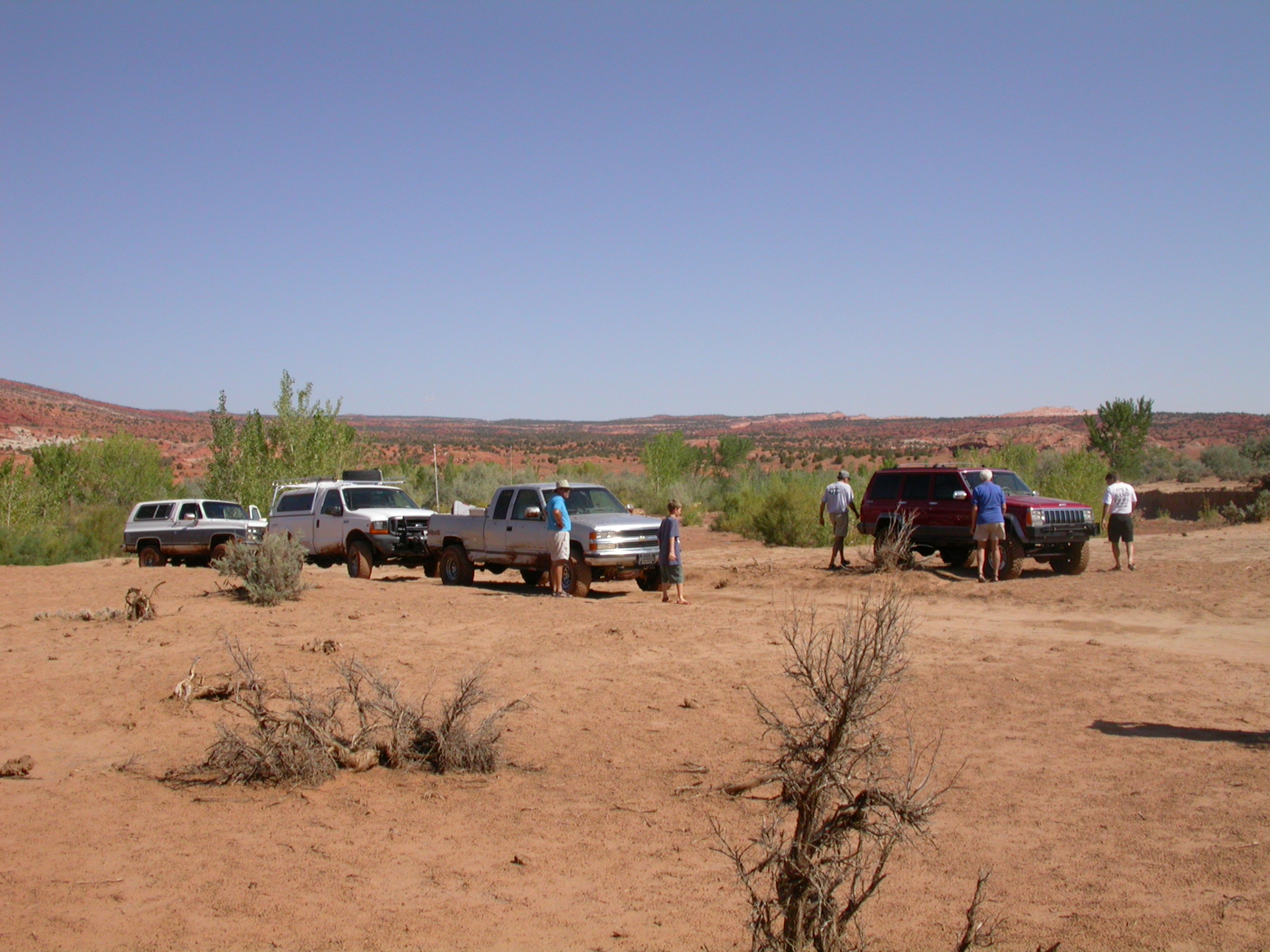
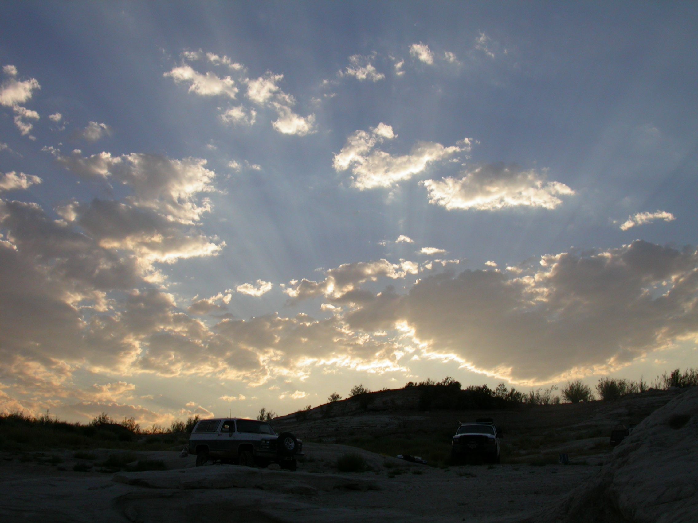
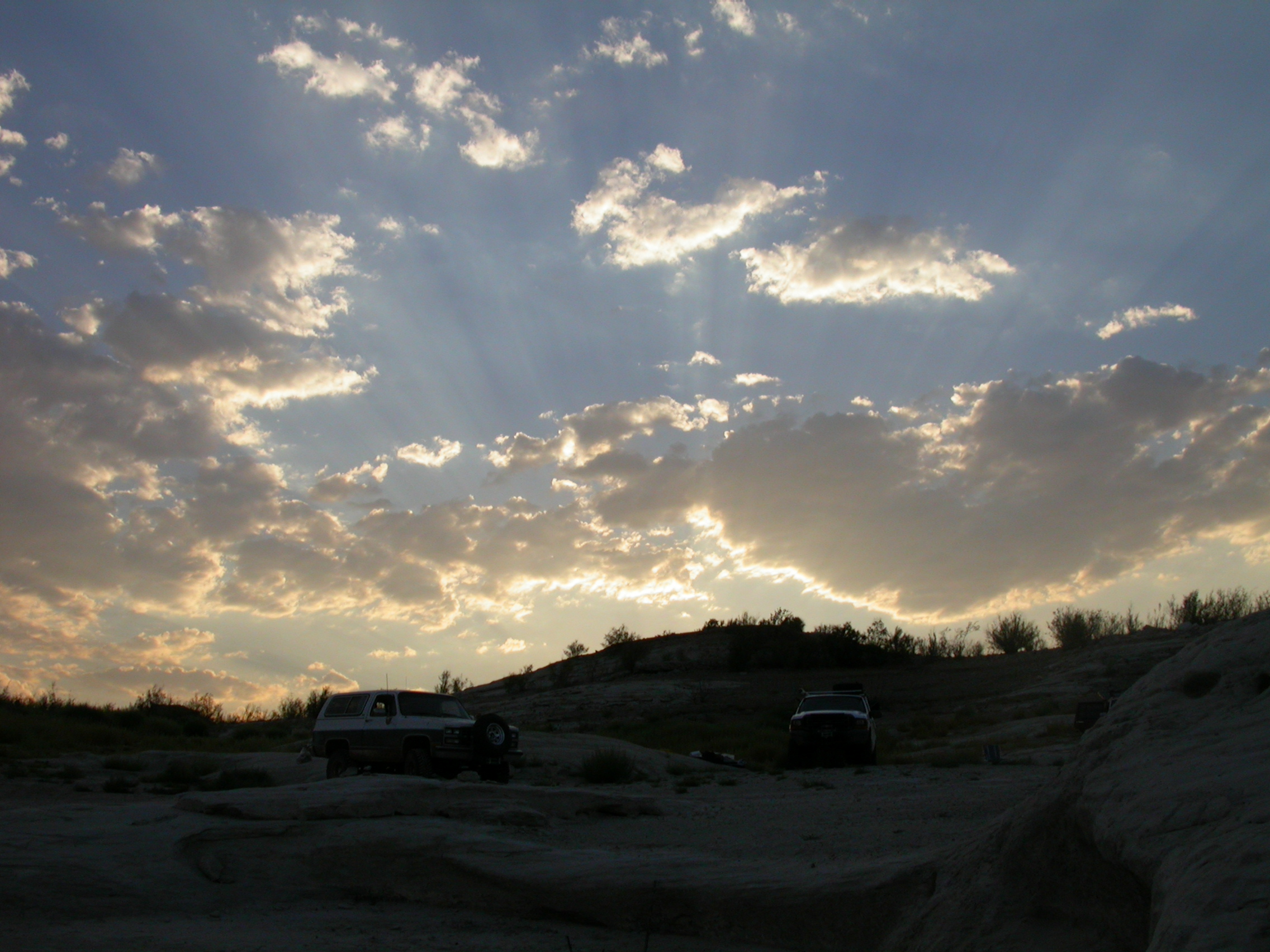
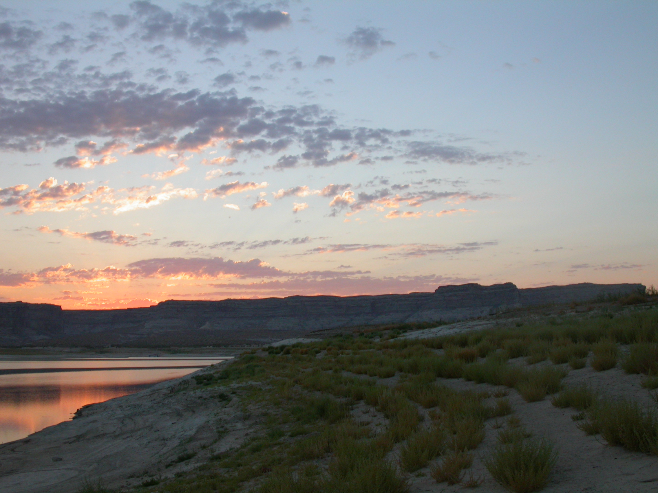
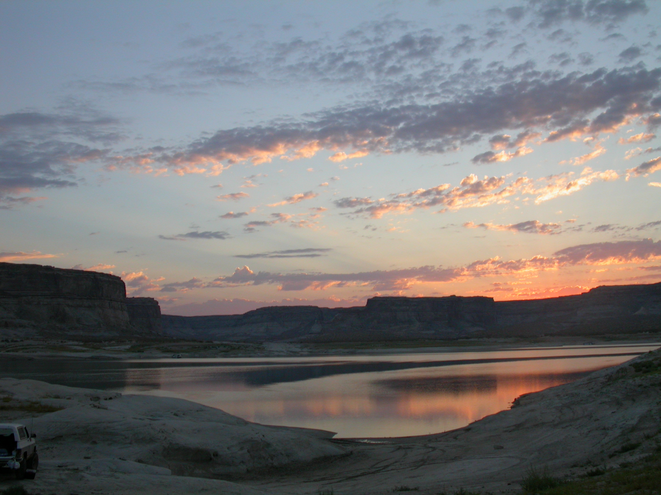
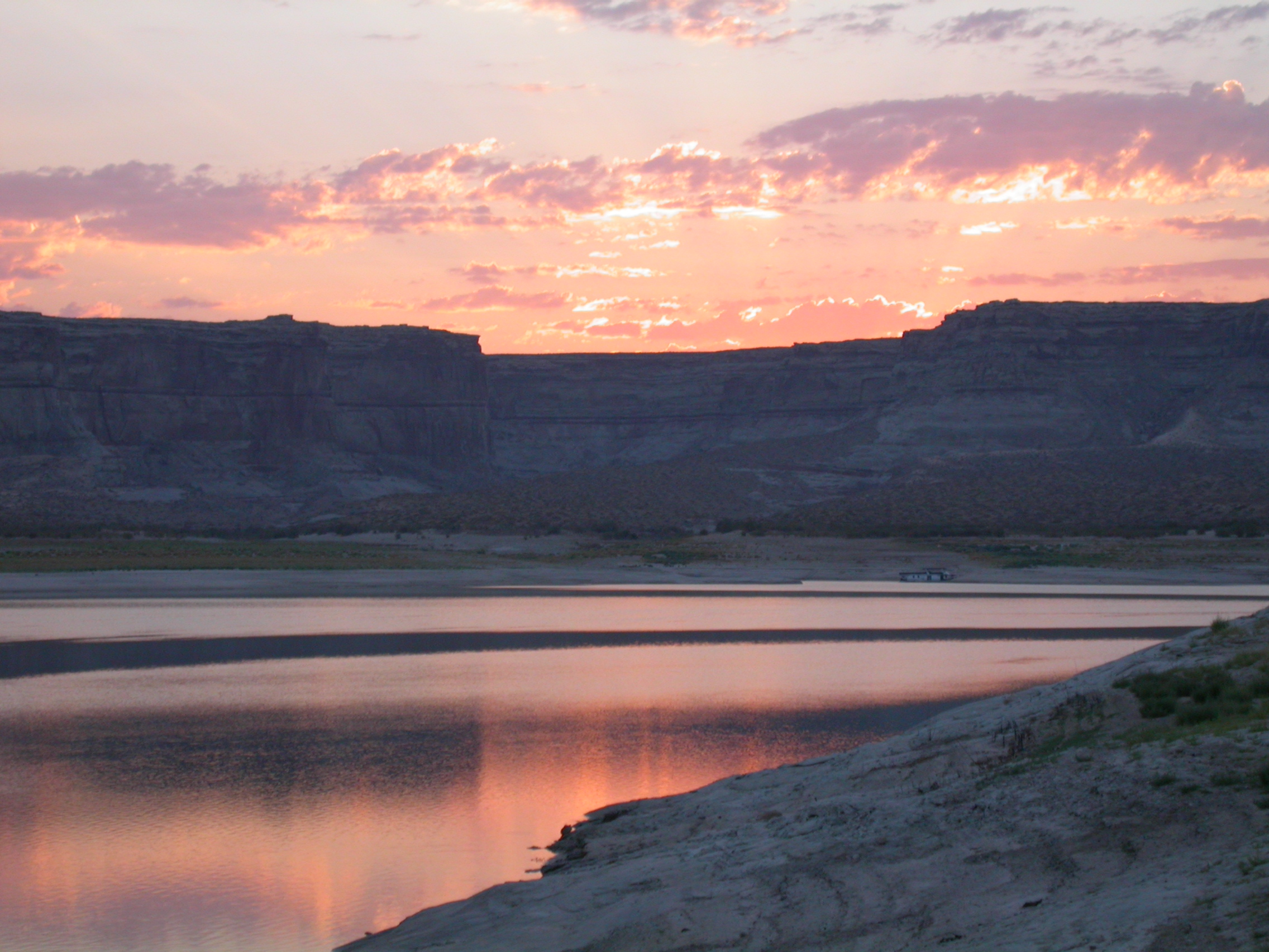
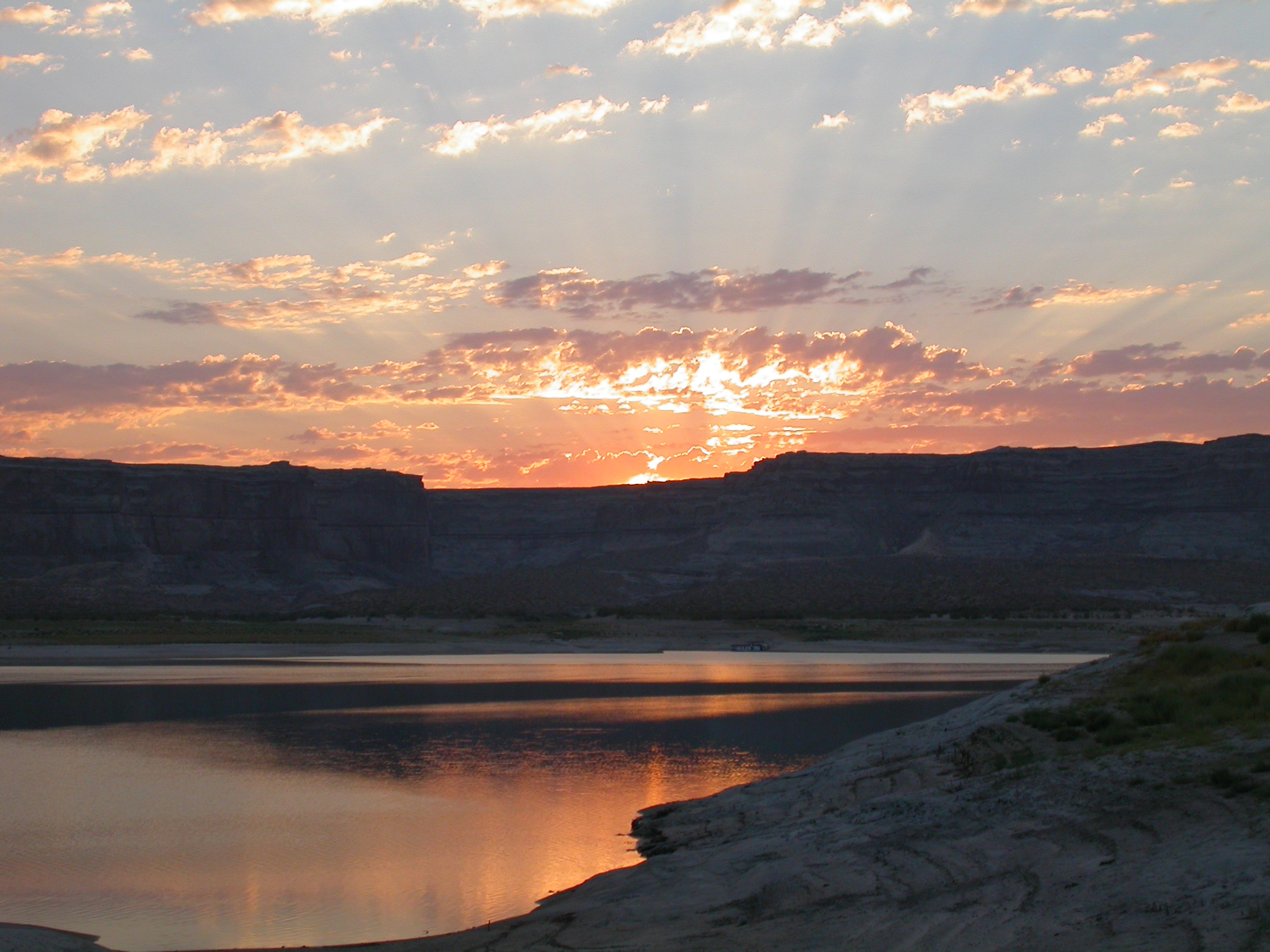
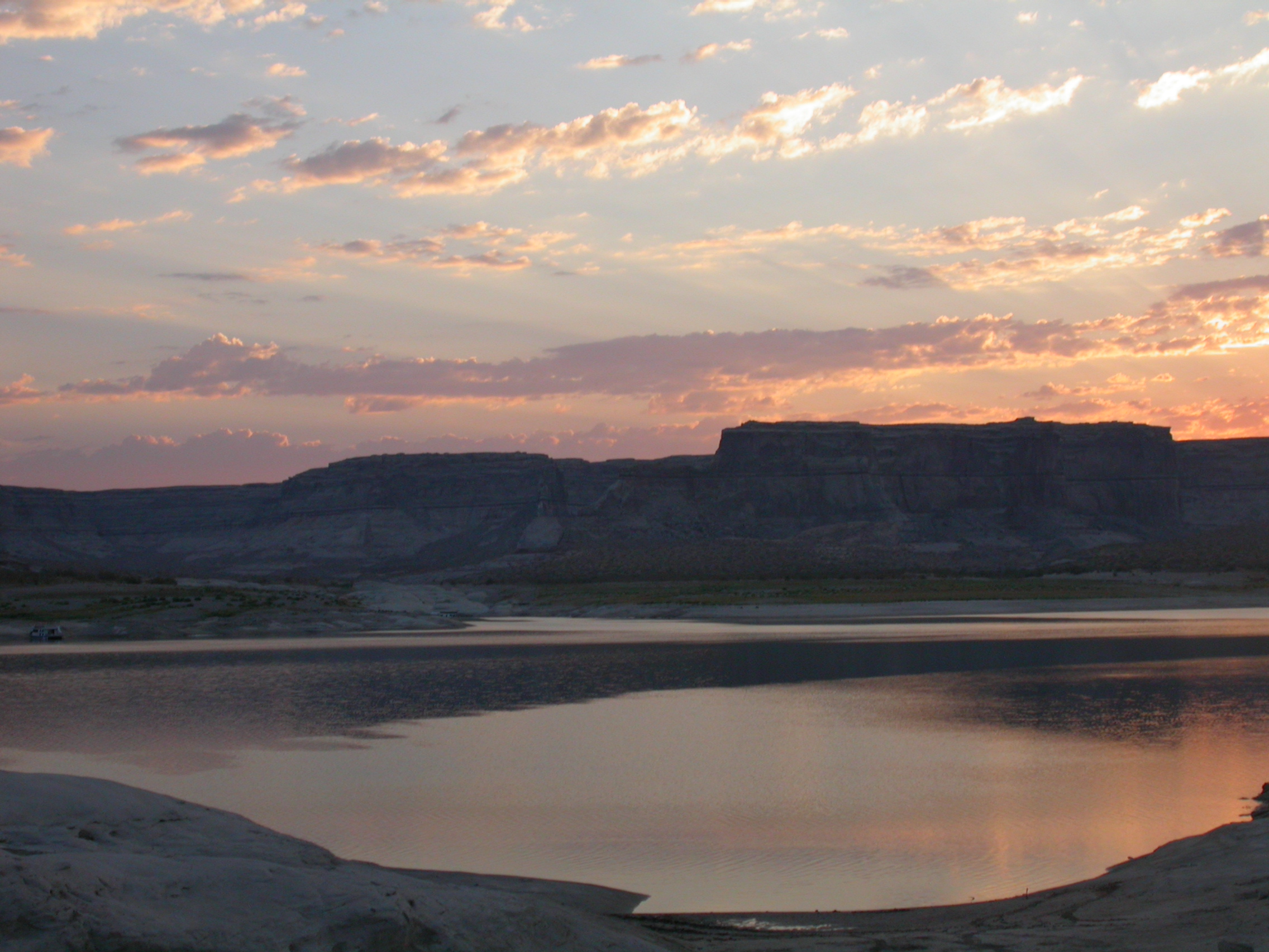
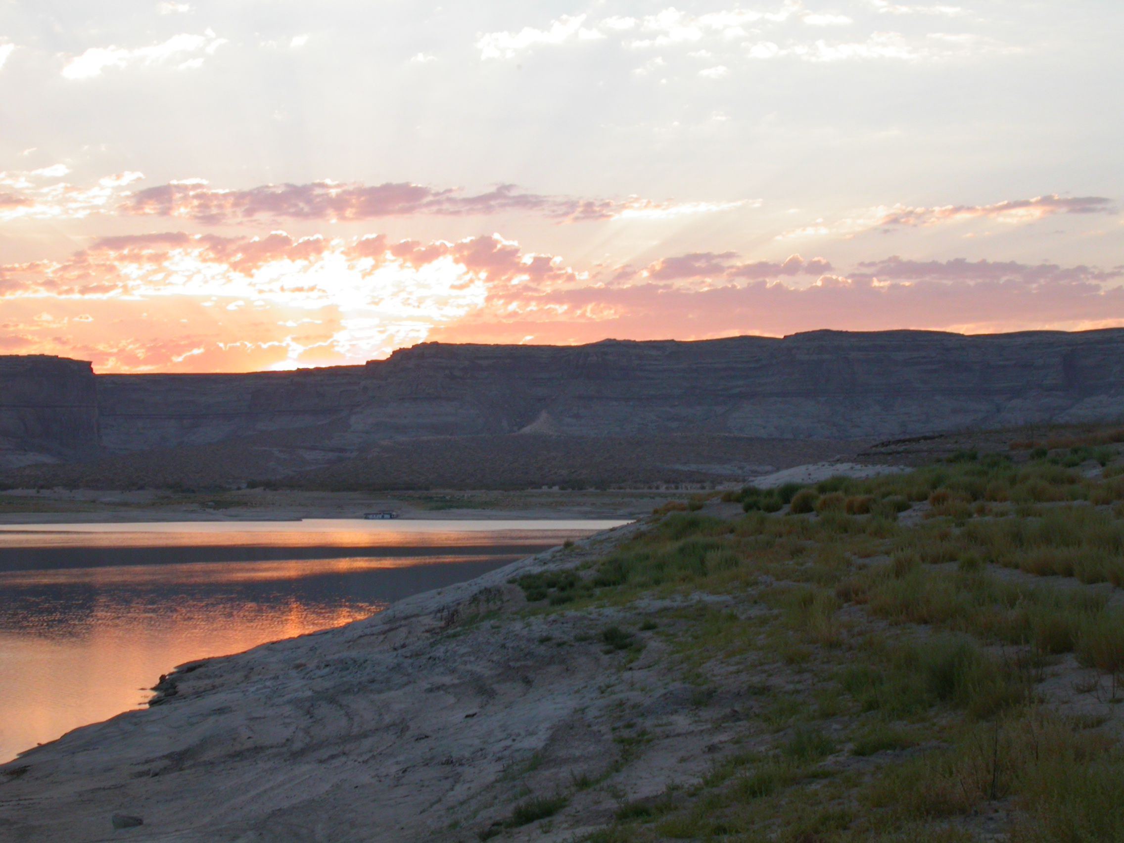
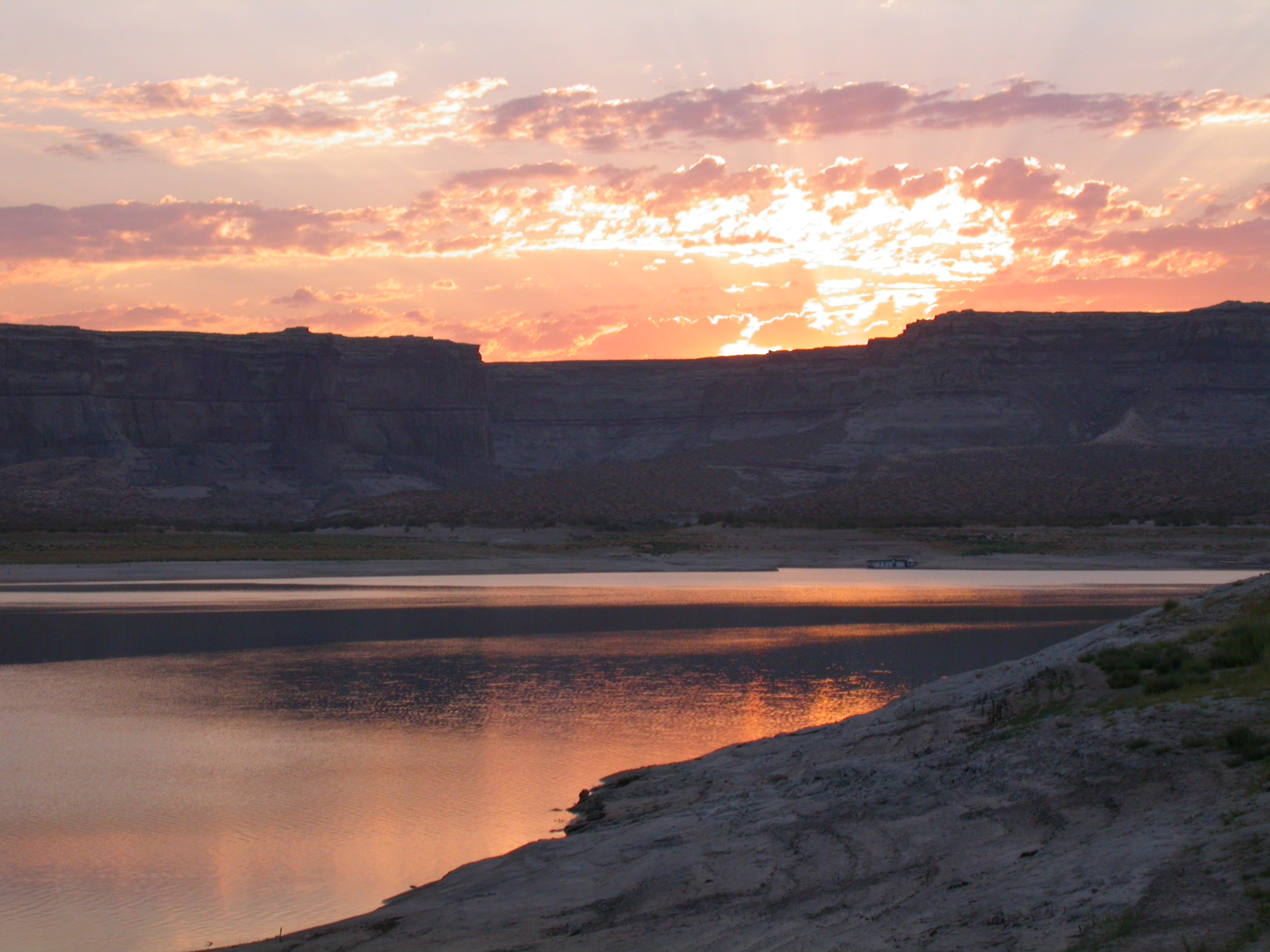
We left the pavement following Rec. Rd. 450 along the Mormon Trail toward the East side of the Hole-in-the-Rock crossing. It is a total of 37 miles from the highway to the end of the trail at Cottonwood Canyon. The "first third" of the trail has been graded and was fairly easy going. We enjoyed looking at the carcass of an abandonded half-track. The weather was sunny and hot, so it was a pleasure to have lunch in a grove of cottonwoods. After lunch, the trail got more serious and rough as it began the climb up to Grey Mesa. The obstacles include a few sand dunes and numerous slickrock steps to climb. While going down one of these steps, John ruptured two front brake hoses. Clamping them off with visegrips left the truck with only rear brakes. So we elected to park "The River" there and continue with only three trucks. One day is not sufficient to make it into Cottonwood Canyon unless you start extremely early (10 hours of wheelin each way, depending on how much scouting and sightseeing you do). So we made camp under beautifully dark skies with great anticipation about what we might encounter the next day.


.


.


.


.


.


.


.


.


.


.


.


.


.

Monday morning brought more of the rough central section of the trail including the most difficult hillclimb of steps (complete with 2 dead horses) and the most famous obstacle (the Chute). Fortunately it also brought a flat drive across the top of Grey Mesa and a magnificent view of the Great Bend of the San Juan. We made it to the top of Cottonwood Canyon about 1.5 miles from Lake Powell and had lunch there. You have to hike if you want to follow this last portion of the wagon train route down to the lake. Last year, Bob, Robby and Ed followed the Hole-in-the-Rock road into Lake Powell from the Escalante side, so this trip was organized as the sequel to do the east side of the route. It was amazing to see the grooves that the wheels of the wagon train cut in the sandstone. After lunch we headed back the way we came. We camped again on Monday night at about the halfway point (in distance) on the trail.


.


.


.


.


.


.


.


.


.


.


.


.


.


.


.


.


.


.


.


.


.


.


.


.


.


.


.


.


.


.


.


.


.


.


.


.


.


.


.


.


.


.


.


.


.


.


.


.


.


.


.


.


.


.


.


.


.

A pre-dawn thundershower caused us to break camp unusually early on Tuesday morning. We recovered John's truck and headed out by a slightly shorter route past the airport at Halls Crossing. We took the ferry across Lake Powell to Bullfrog Marina where we restocked on gas, ice and supplies. We also had a lovely swim/bath in the lake. We'll give this section of the Mormon Trail a rating of 3.5+, where the + comes from the length of the trail. There are challenging and thrilling obstacles, but nothing that a truck with 1 locker can't handle. (Don't even consider going alone, and make sure you practice on the slickrock in Moab before trying this trail.)


.


.


.


.


.


.


.

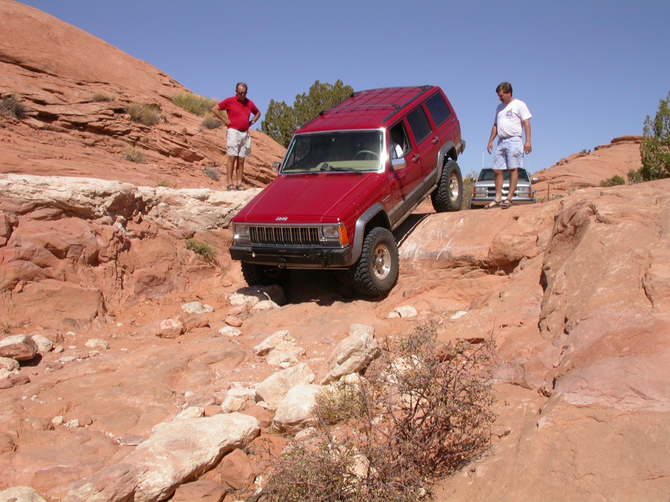
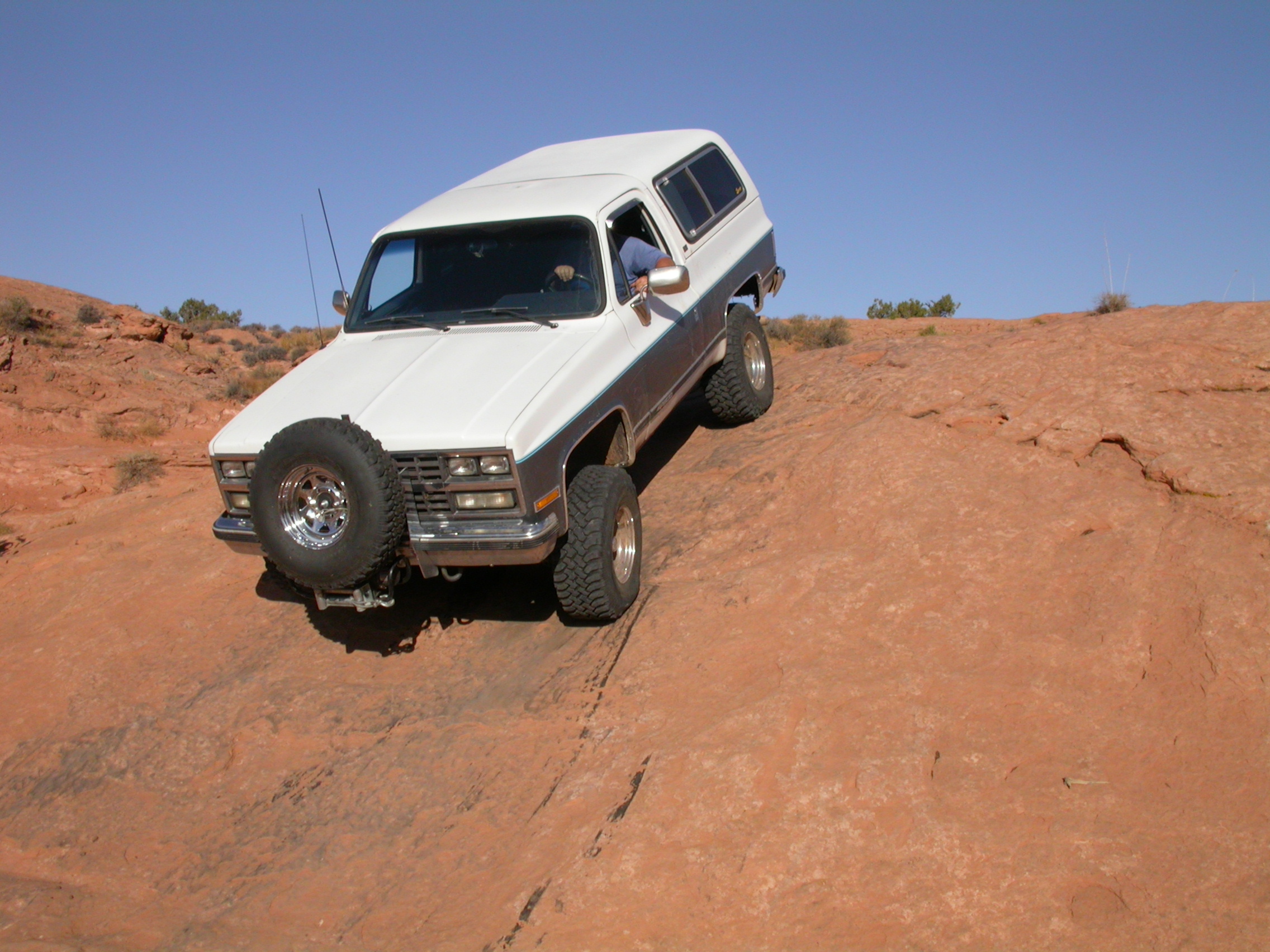
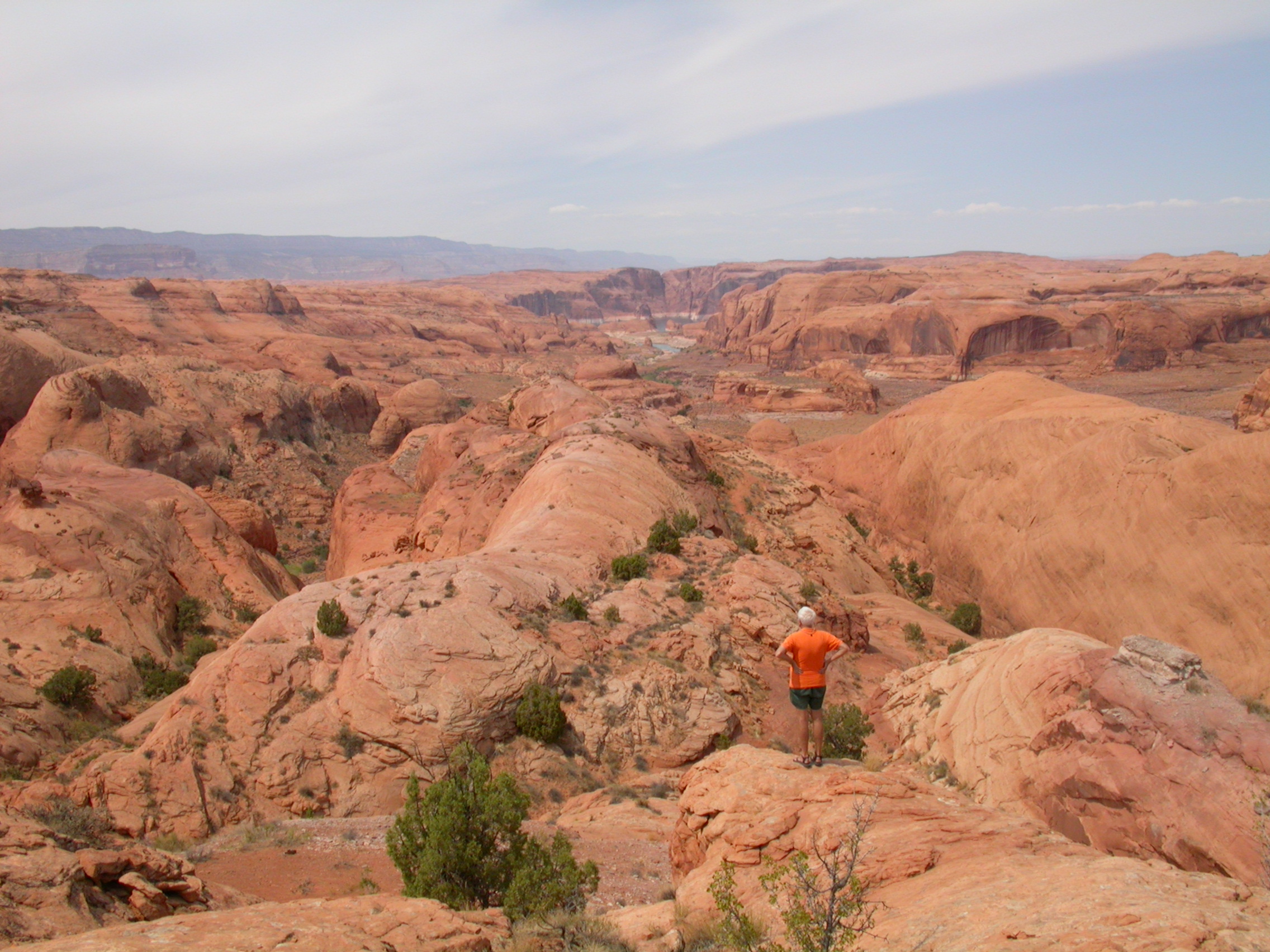
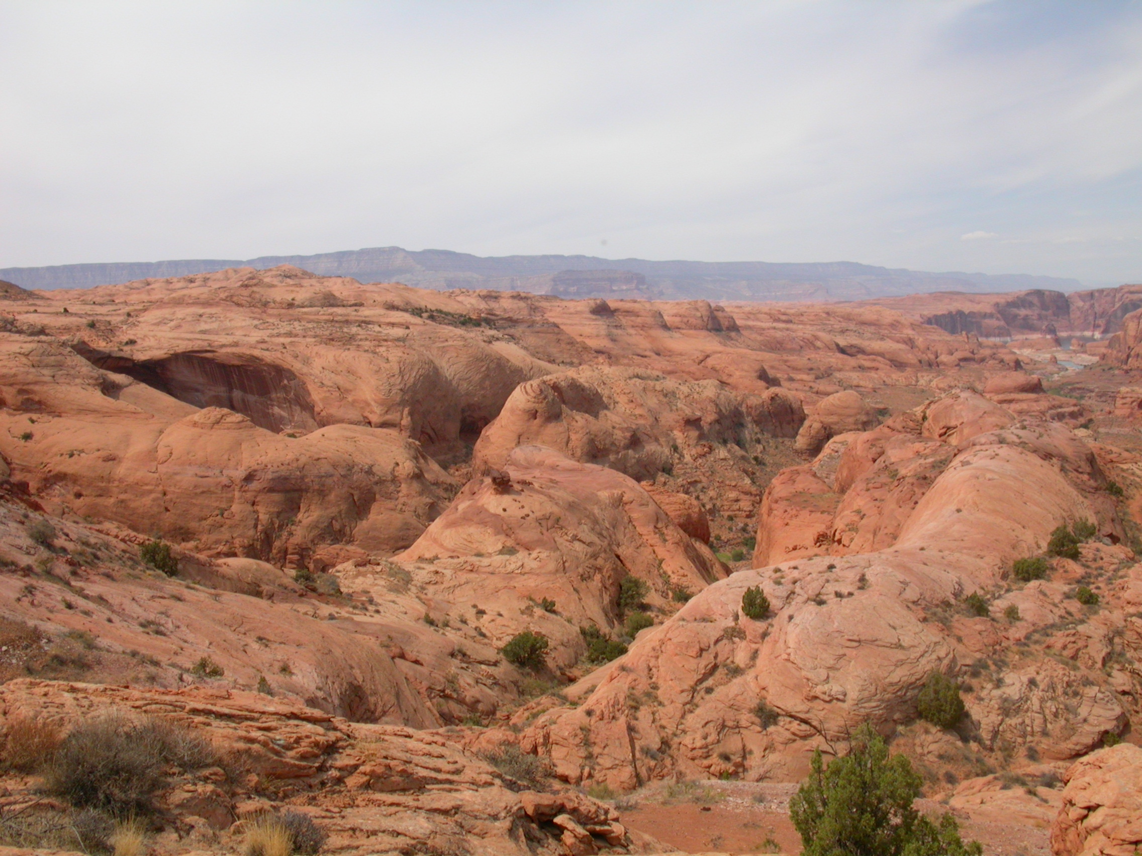
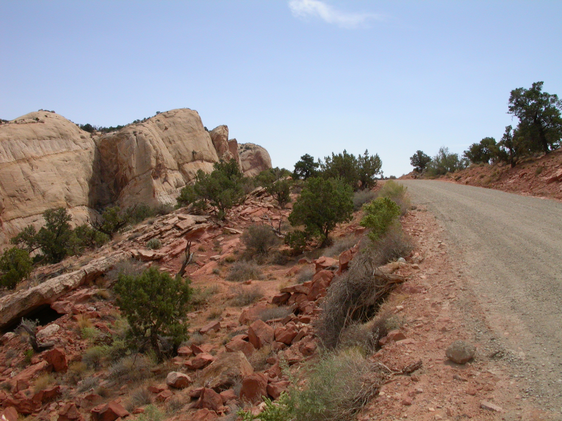
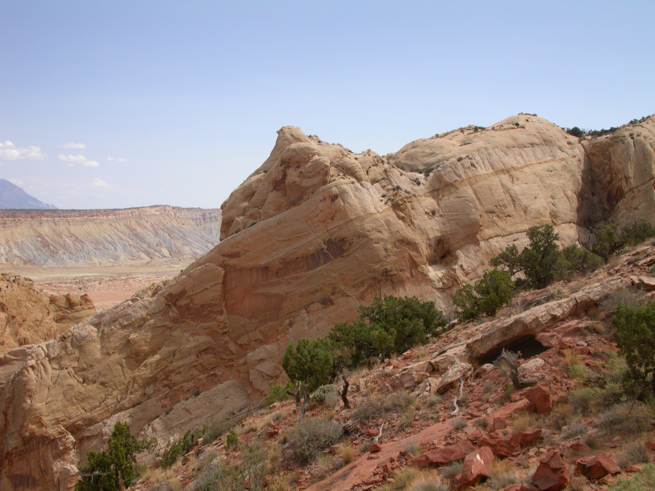
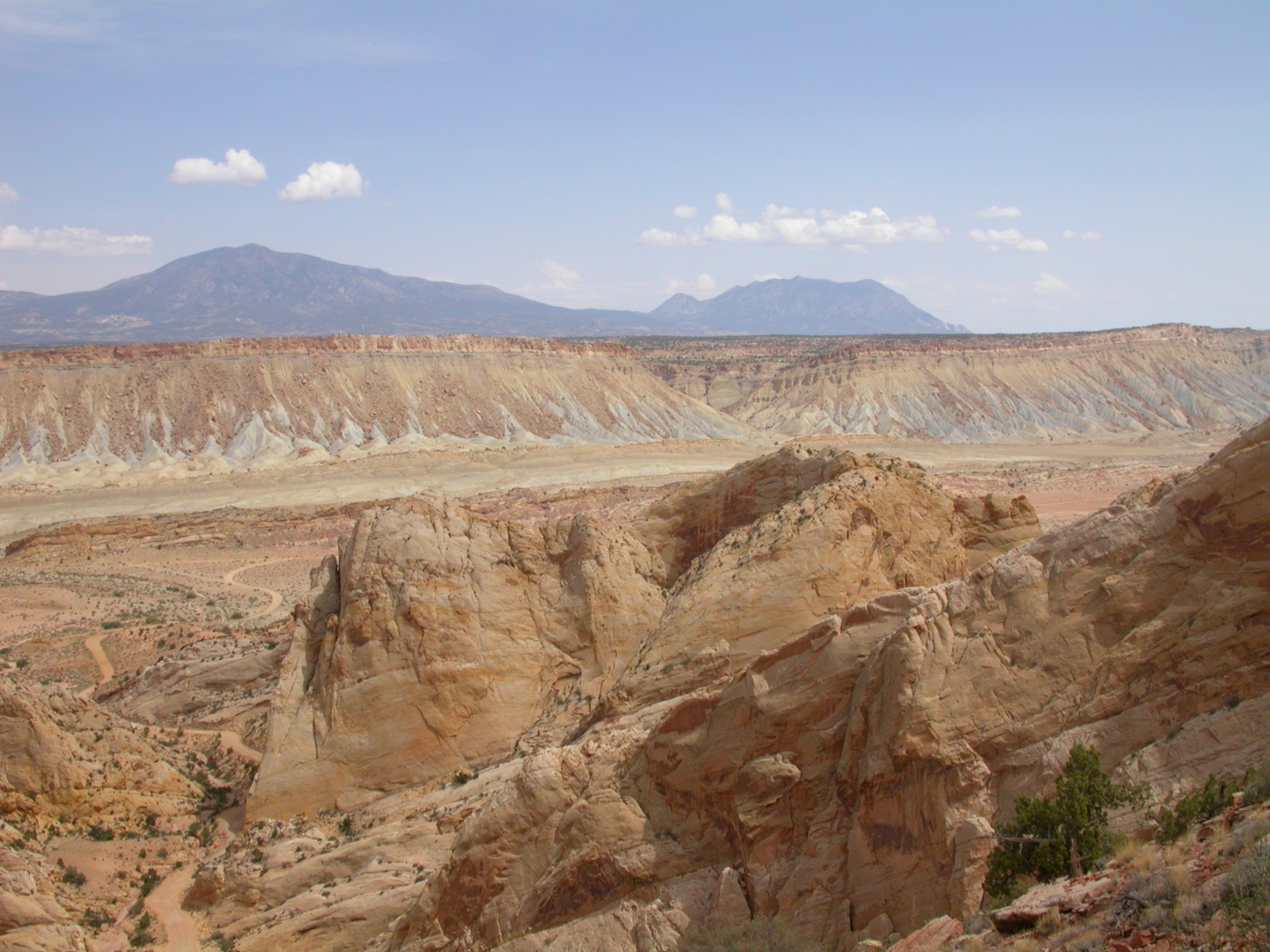
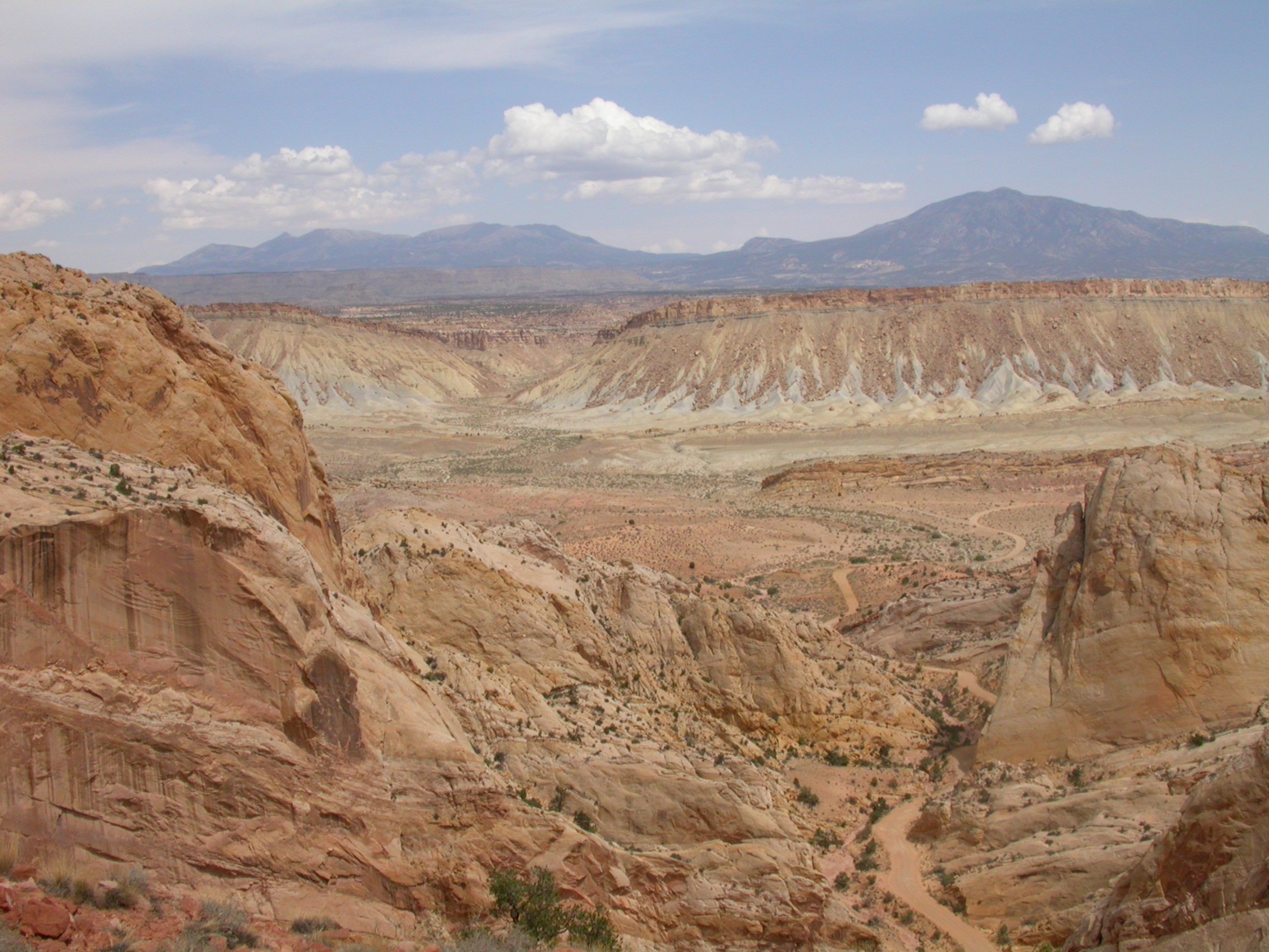
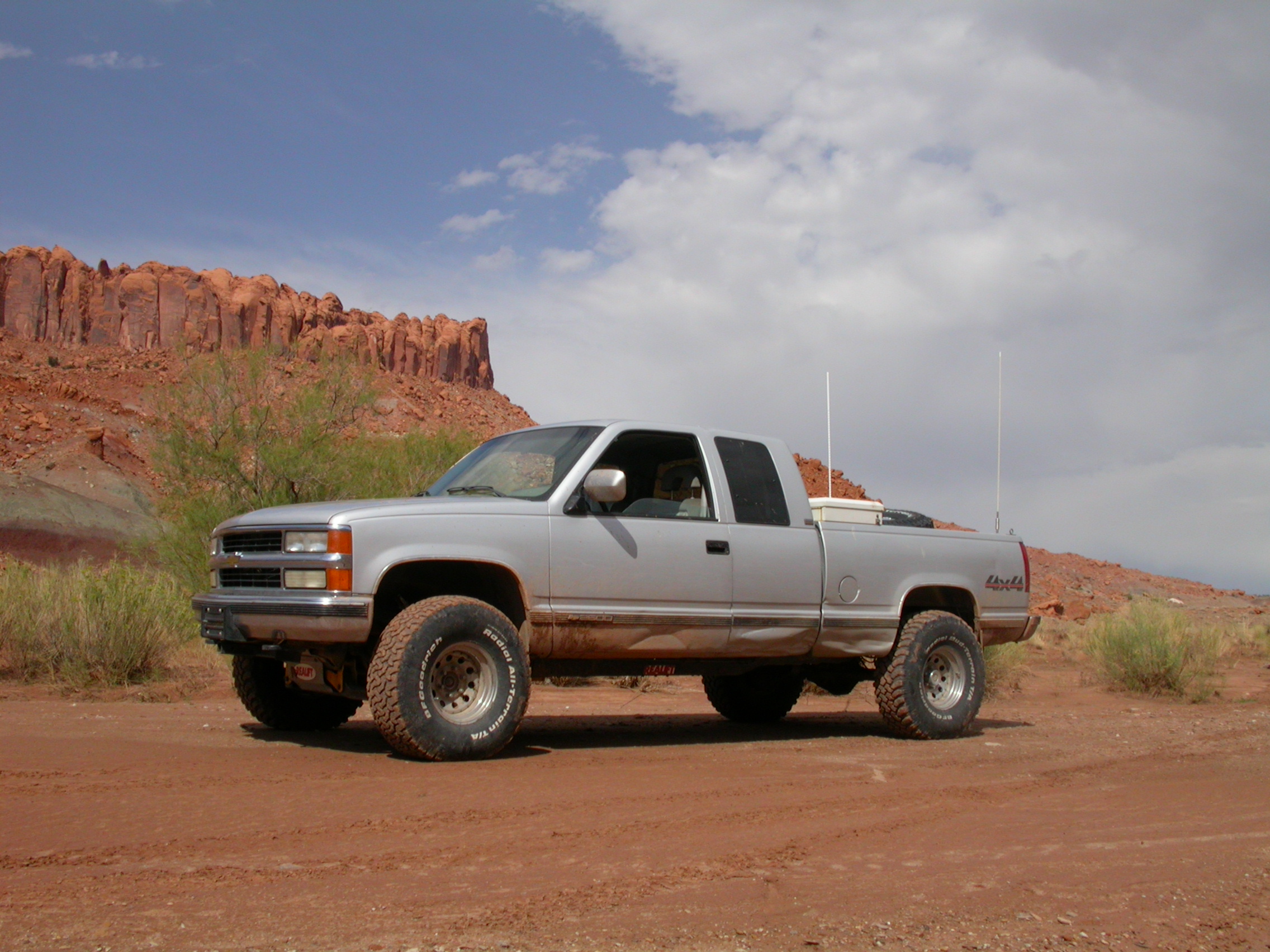
That was the end of the serious wheelin' part of the trip. Although John found that driving winding mountain switchbacks without front brakes was still plenty exciting. On Tuesday afternoon we followed the Burr Trail up and over the Waterpocket Fold in Capitol Reef National Park. This is a fantastic climb suitable for stock vehicles. Another storm caught up with us there at the top of the fold, so we drove in the rain down Petrified Forest Loop. We followed Silver Falls Creek road downstream until a "no vehicles" sign stopped us at the boundary of the Glen Canyon NRA. (Our plan was to follow Silver Falls Creek down to the Escalante, and then go out Harris Wash on the other side.) Instead we backtracked back to the Burr Trail and followed the scenic paved route over to the town of Escalante where we stayed at the Circle D motel.


.


.


.


.


.


.


.


.

On Wednesday (still without front brakes) we followed Hole-in-the-Rock road down to Harris Wash Road. The trip down into Harris Wash was loads of fun because the previous day's thunderstorms had created a huge mudflow that covered the trail. After a couple runs at the mud we blasted our way through mud about 8-inches deep for 200 yards. After the road joined Harris Wash, we followed the wash almost down to the Glen Canyon NRA boundary, but we stopped for brush before finding a sign. We came back out Harris Wash and then followed Left Hand Collet Canyon up and over FiftyMile Mountain. We followed Smoky Mountain Road down to Lake Powell and camped on Wednesday night at Warm Creek Bay. John caused the first winching of the trip by getting stuck in some lake slime on the shore.


.


.


.


.


.


.


.


.


.

After a great sunrise over the lake, John went into Page on Thursday morning and found a couple auto parts stores with enough components to give him temporary front brakes for the drive home. John came back to Tucson Thursday evening, while the others went off for some water recreation and relaxation on the lake.

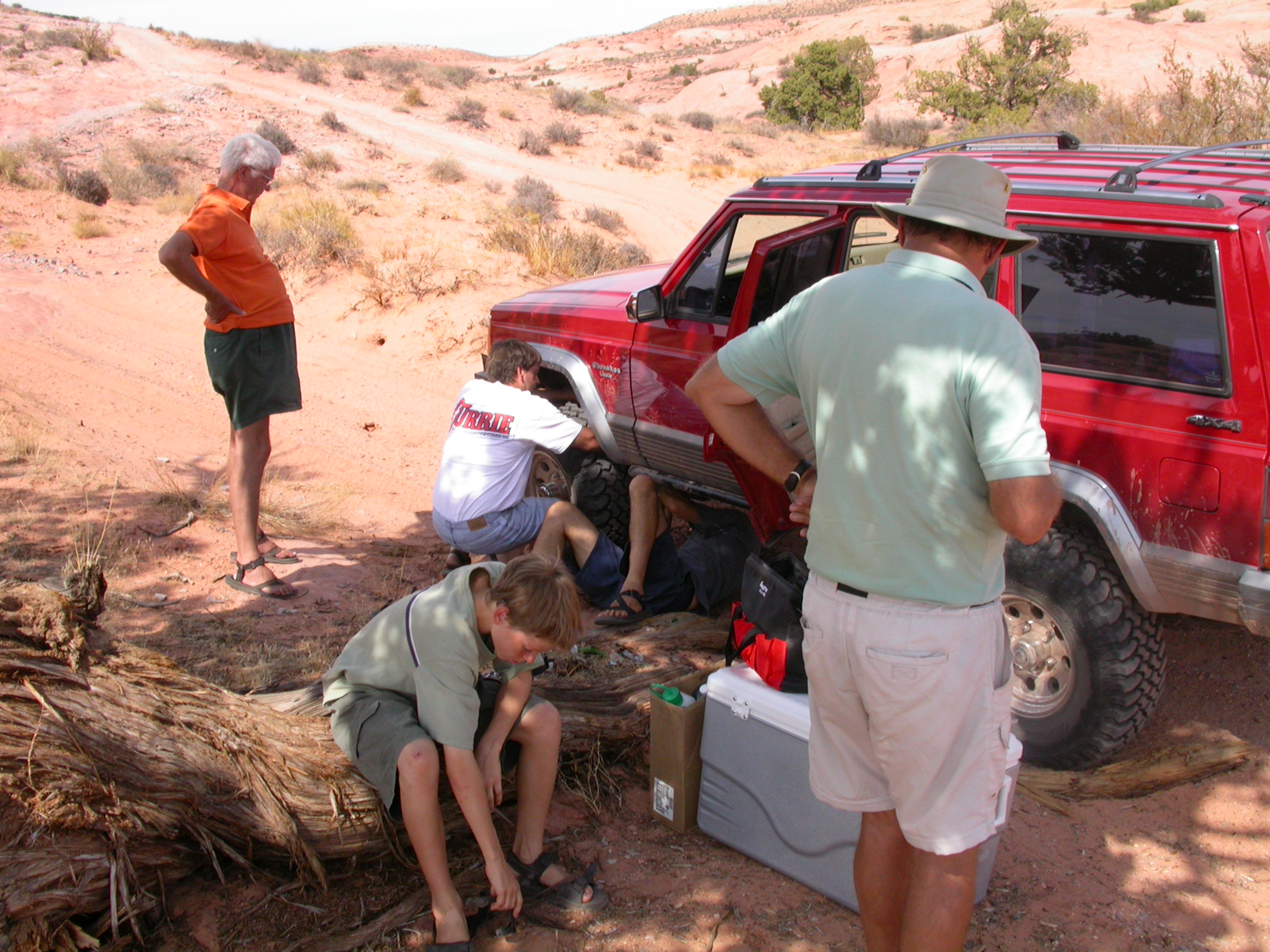
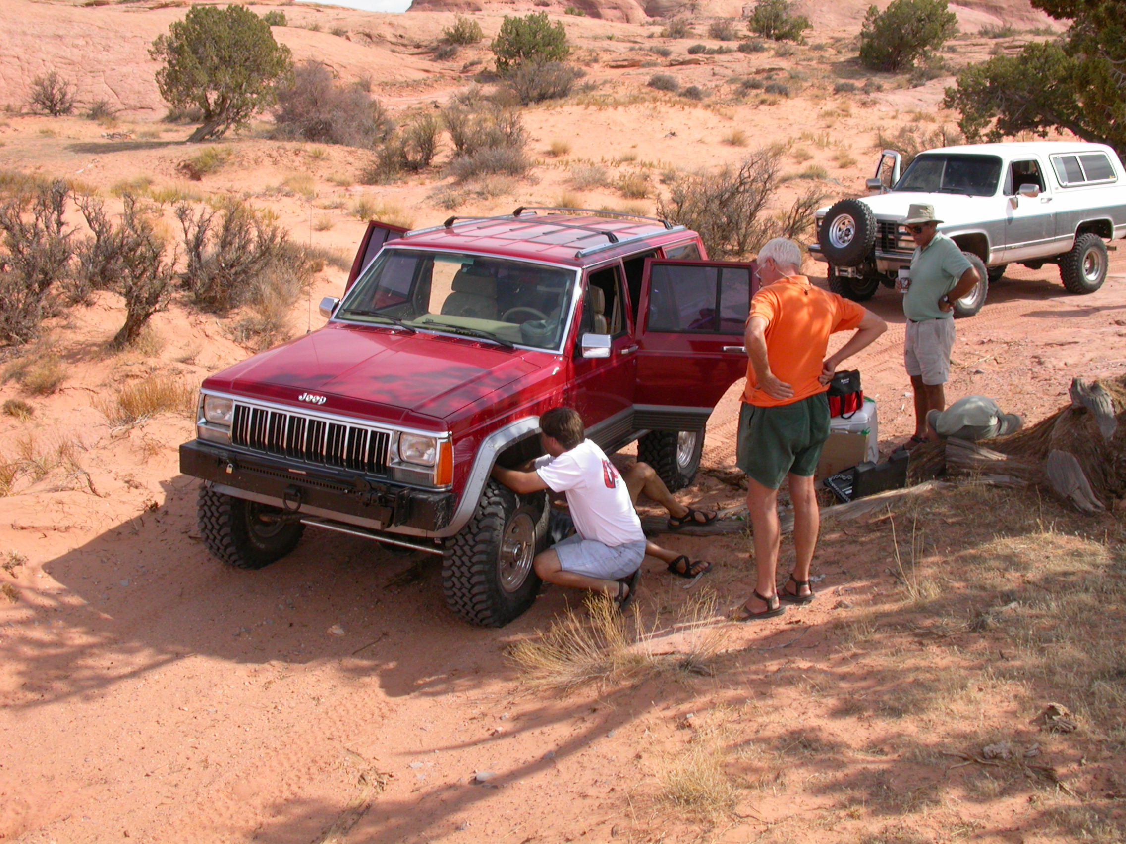
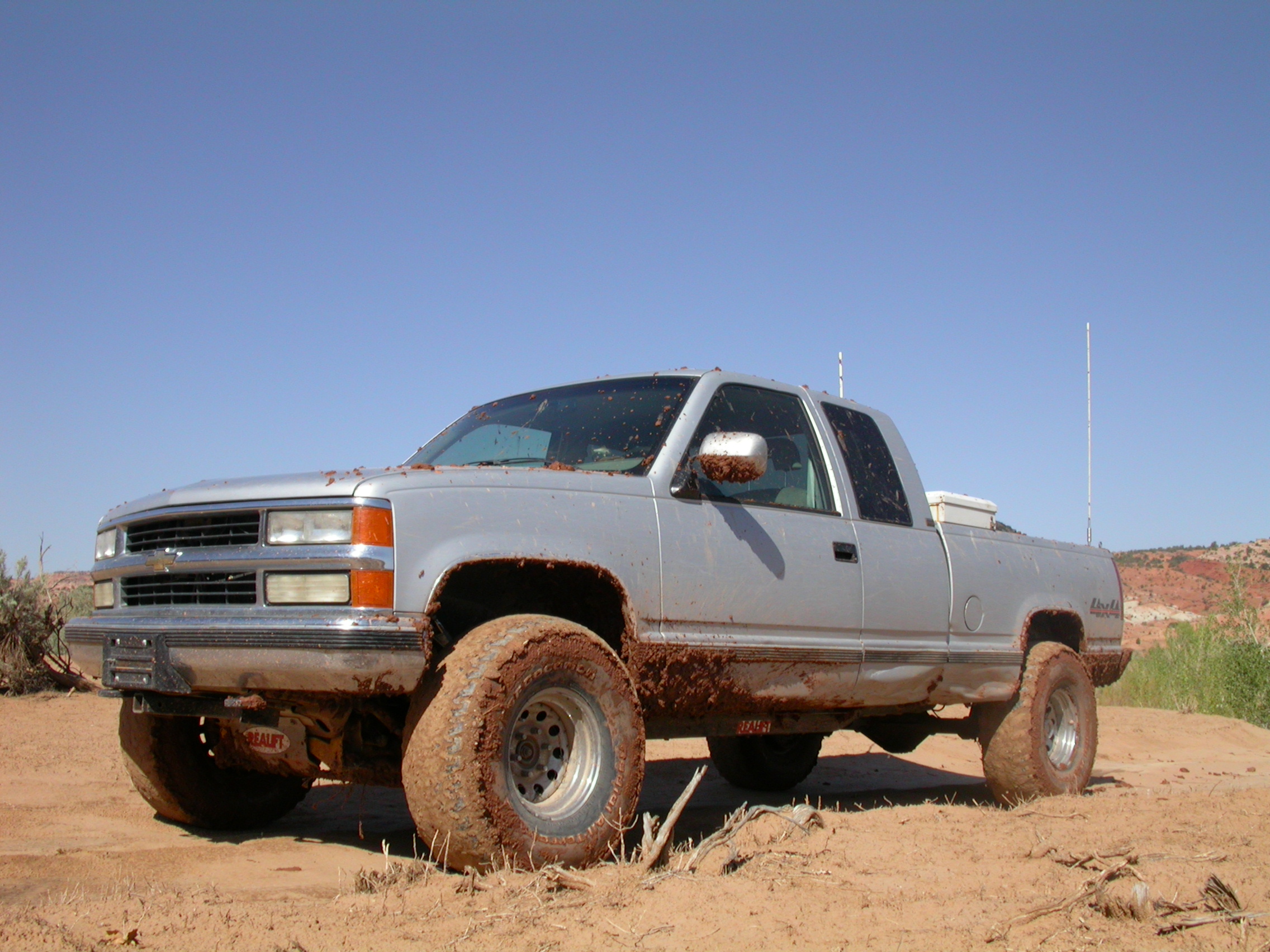
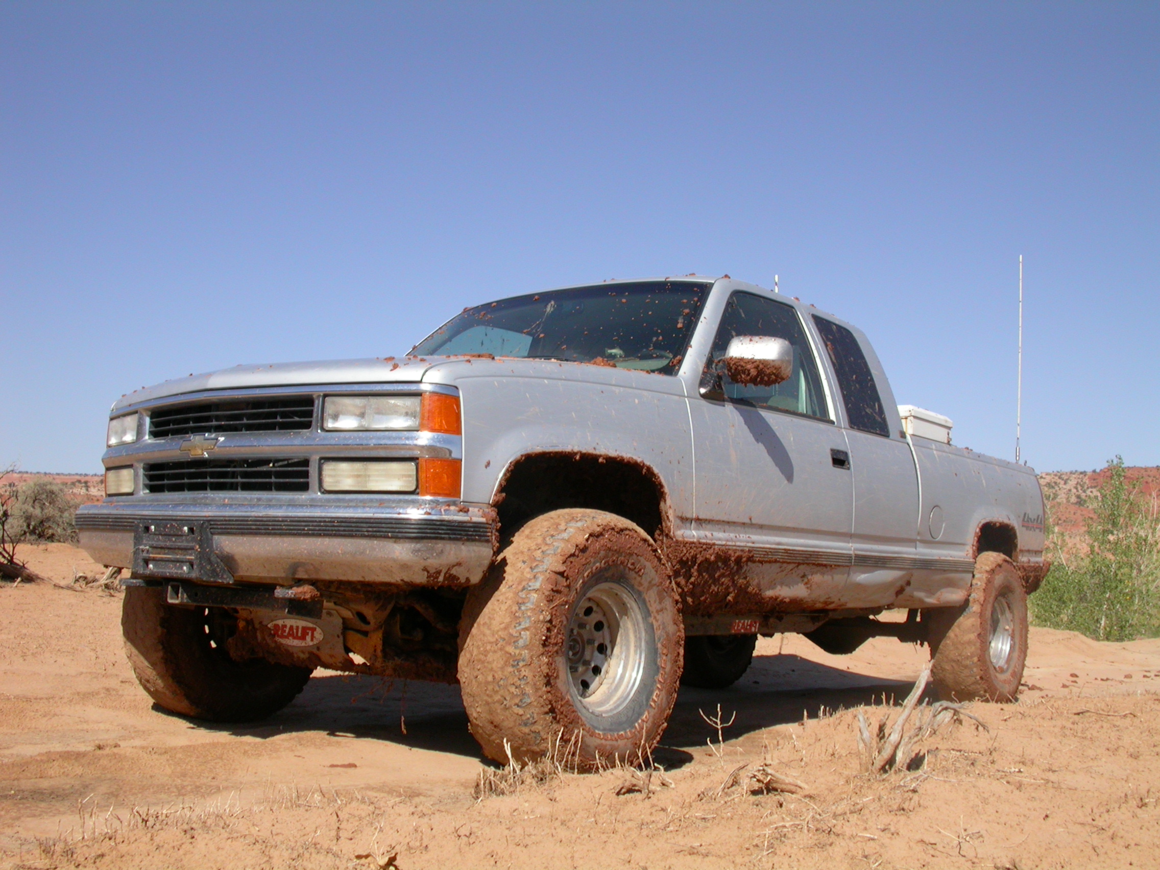
Total vehicle damage: 2 ruptured brake hoses, 4 flat tires, 1 bad battery, 1 bad alternator, 1 transmission bearing, 1 broken radio antenna, 1 broken CB cable, 1 bad CB radio.


.


.


.


.


.


.


.


.


.


.


.


.

This web page maintained by John M. Hill: jhill@as.arizona.edu
All contents copyright © 2002 John M. Hill. All rights reserved.
John's home page

Last modified: Sat Dec 21 15:49:15 2002