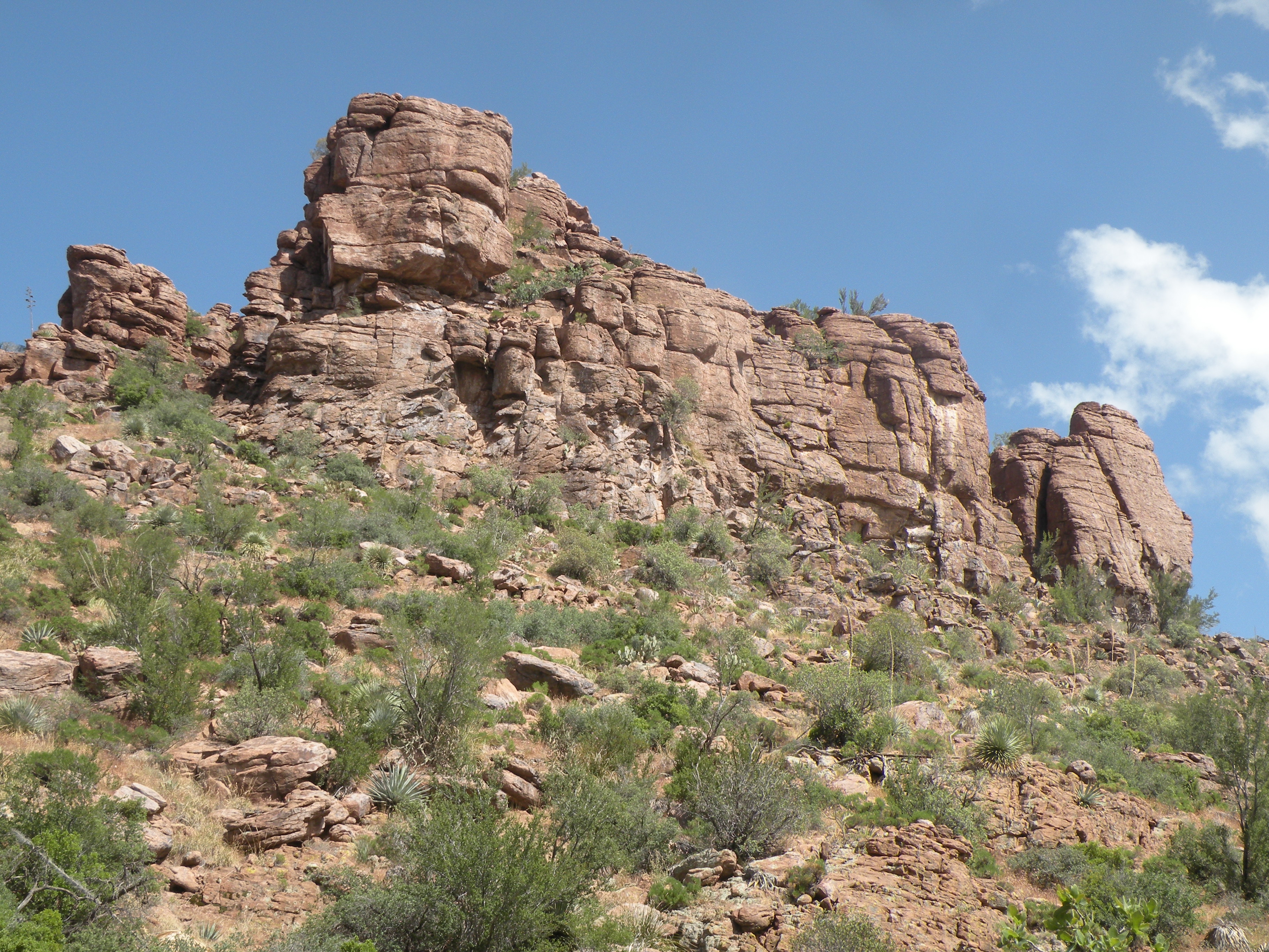
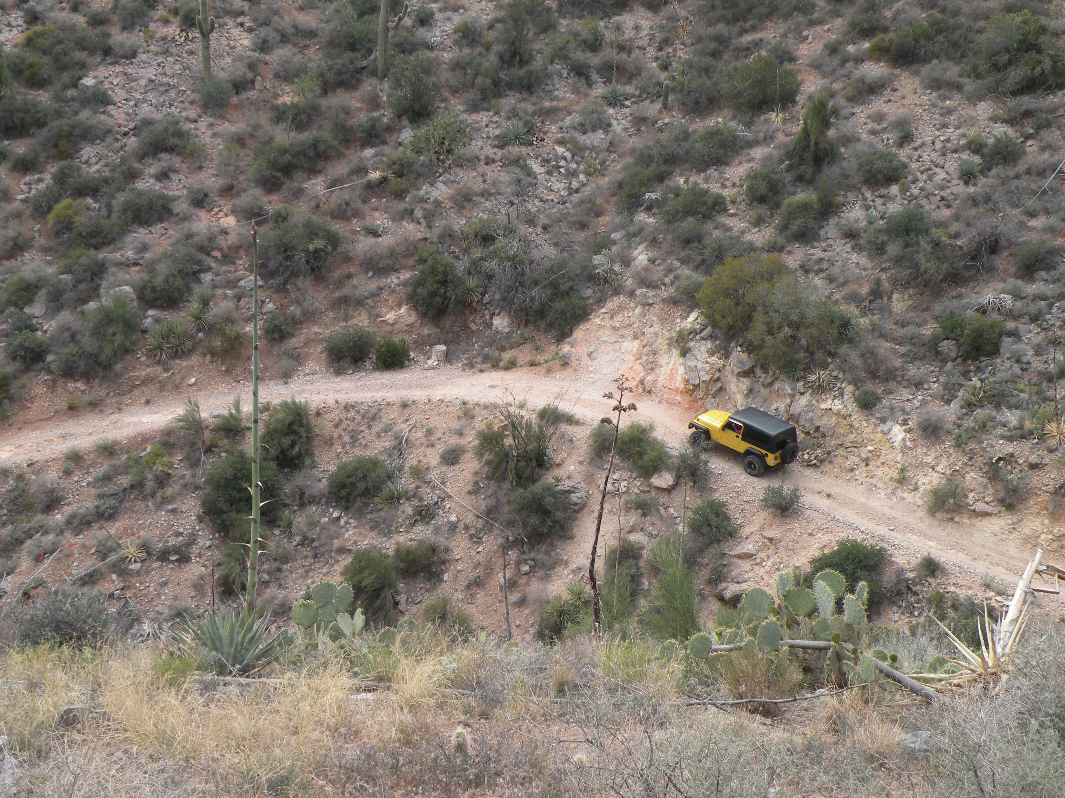
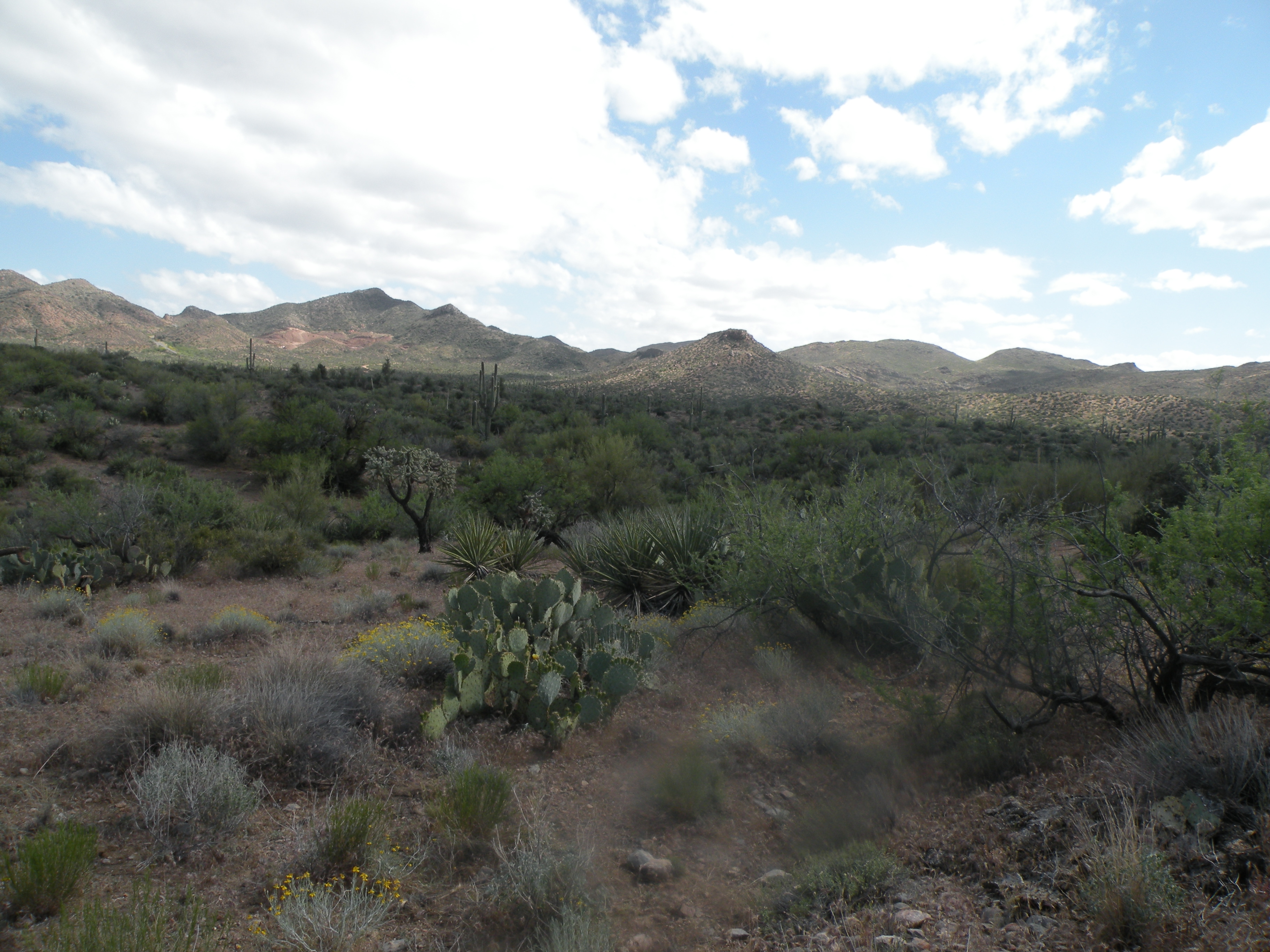
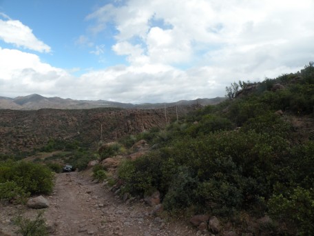
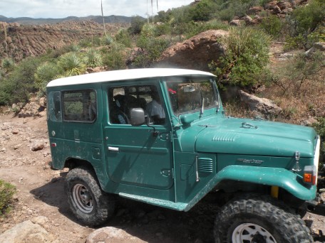
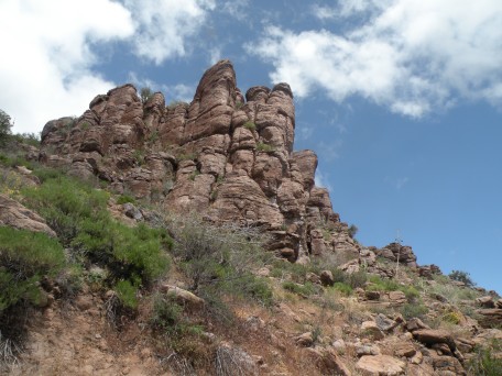
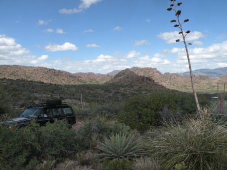
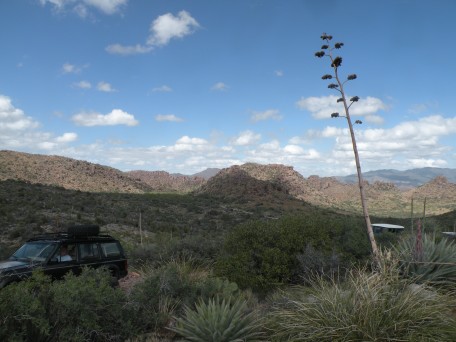
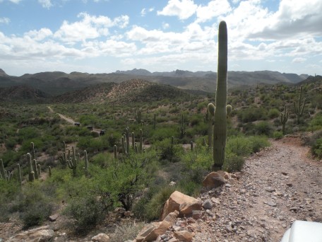
Hackberry Creek (near Superior, AZ)
John H. and Dave A. joined 7 other trucks from the Tucson Rough Riders
on a trip to Hackberry Creek which is just east of Superior, AZ.
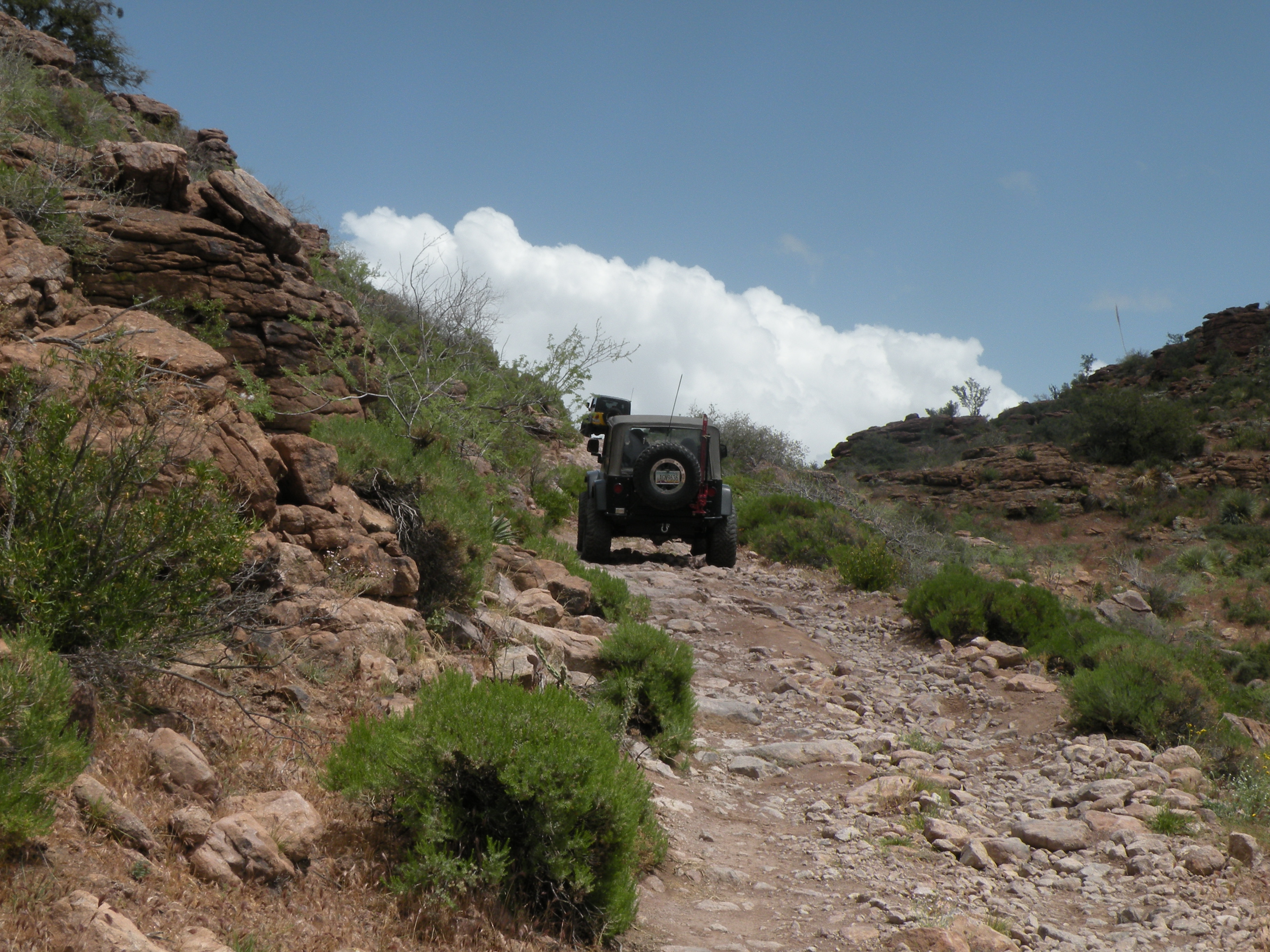
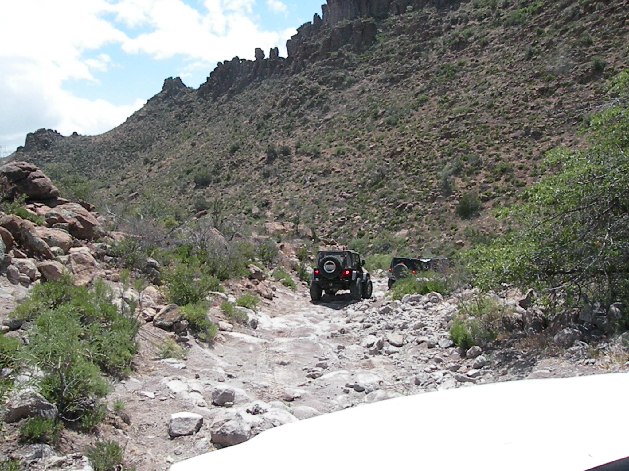
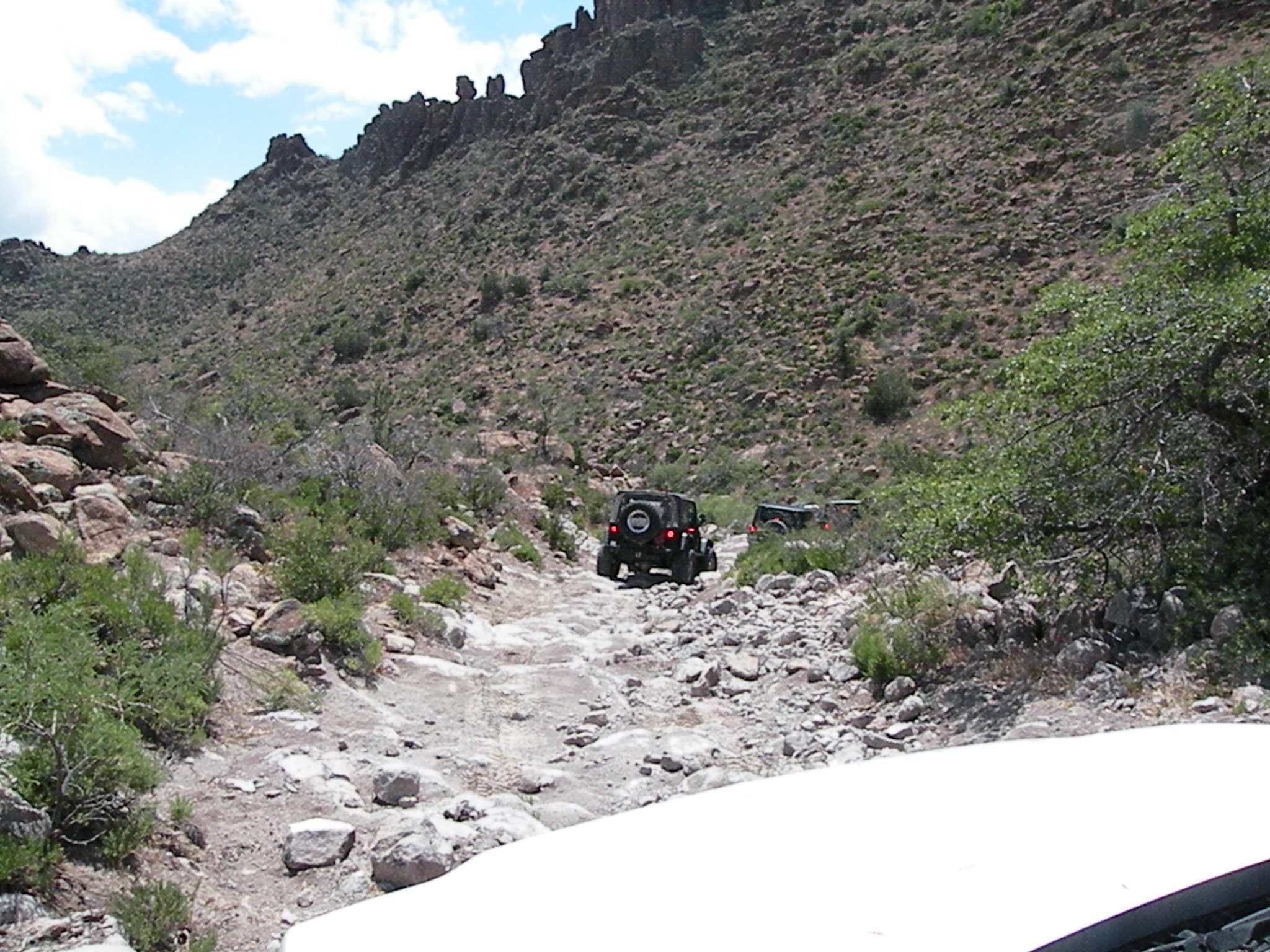
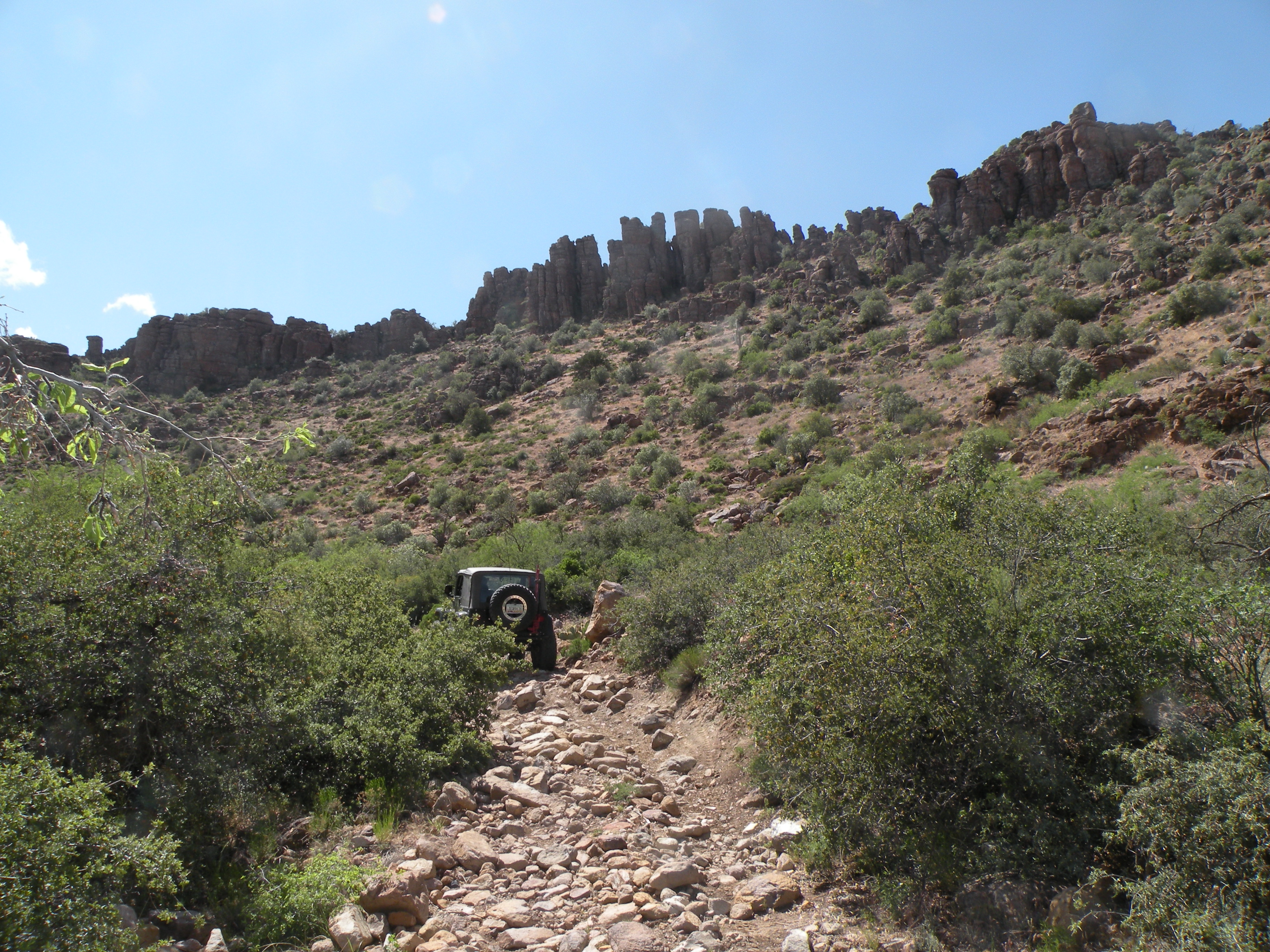
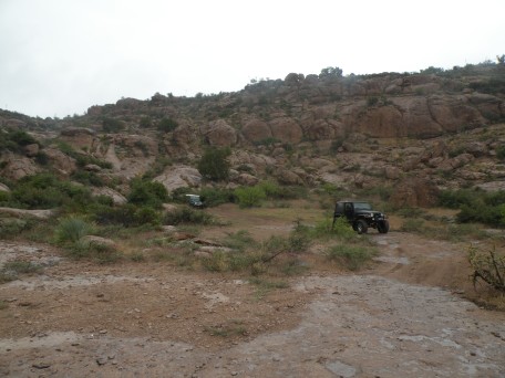
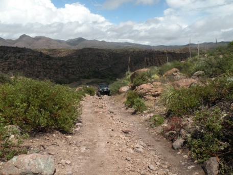
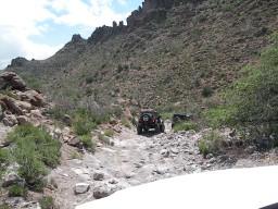
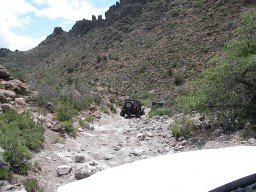
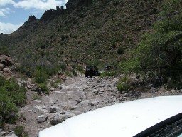
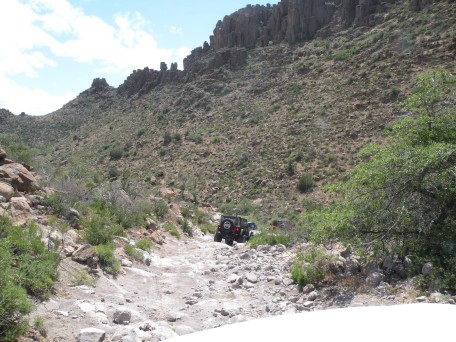
Tim N. reports: A group of Rough Riders went to the Hackberry Creek
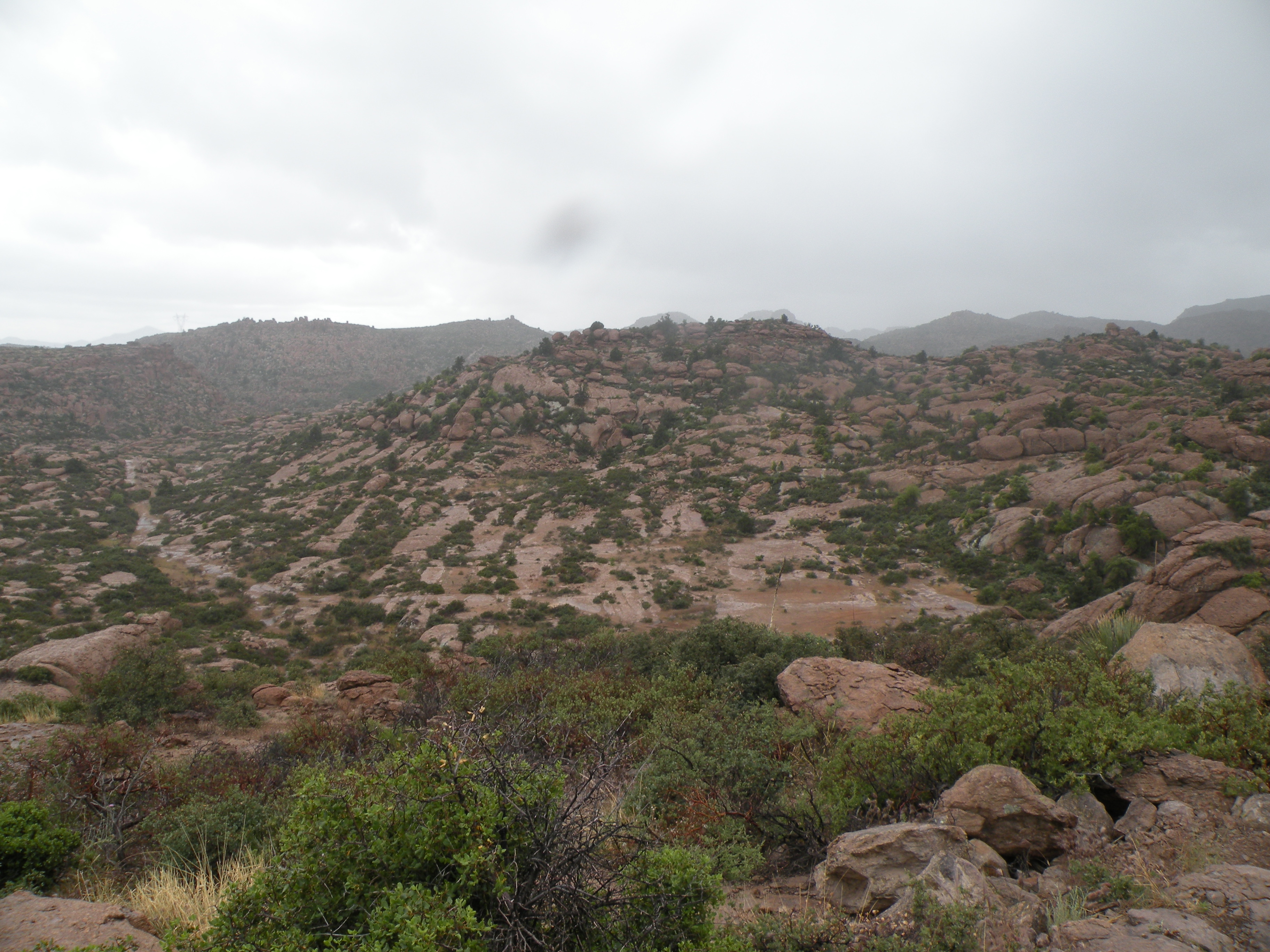
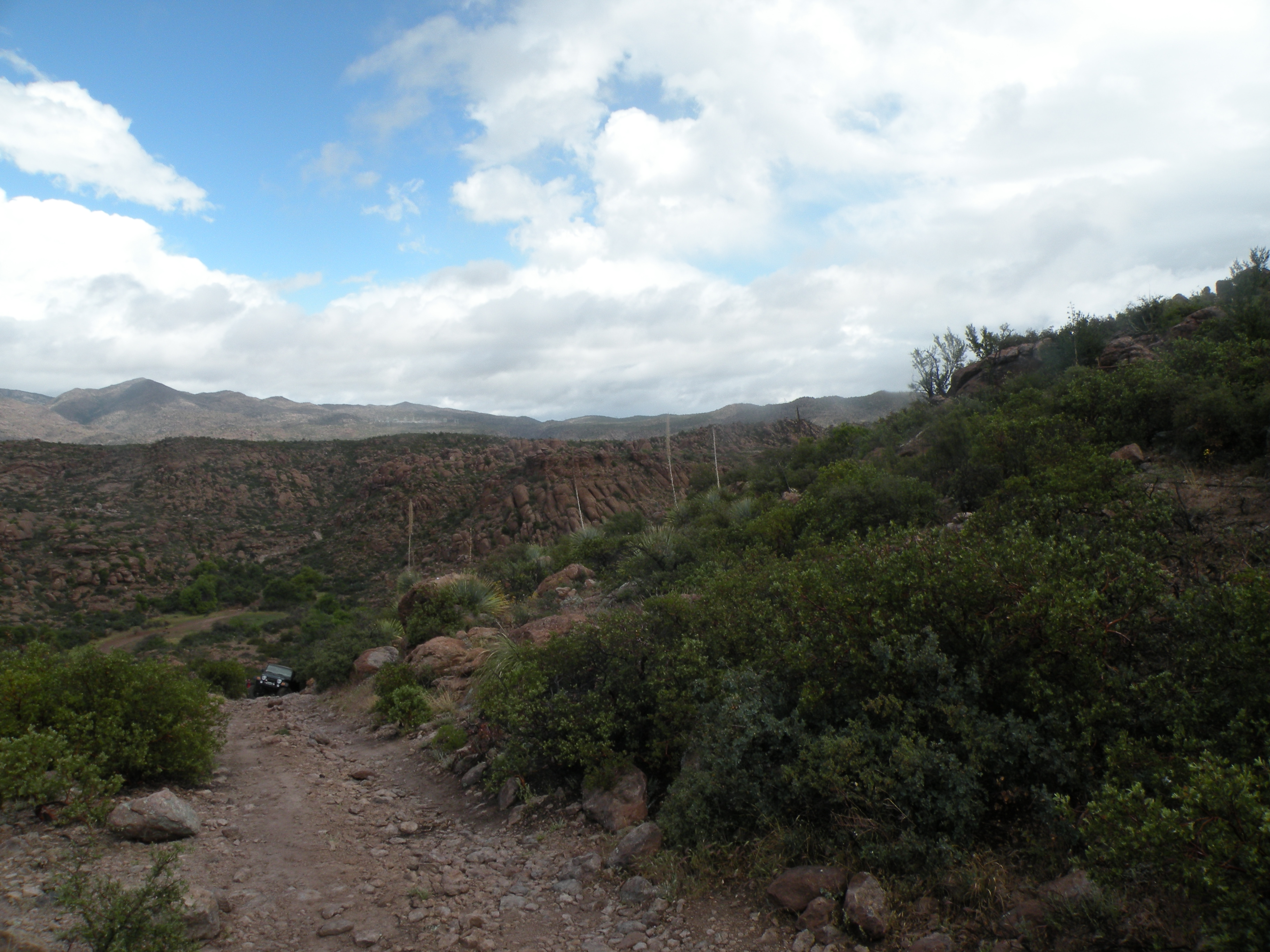
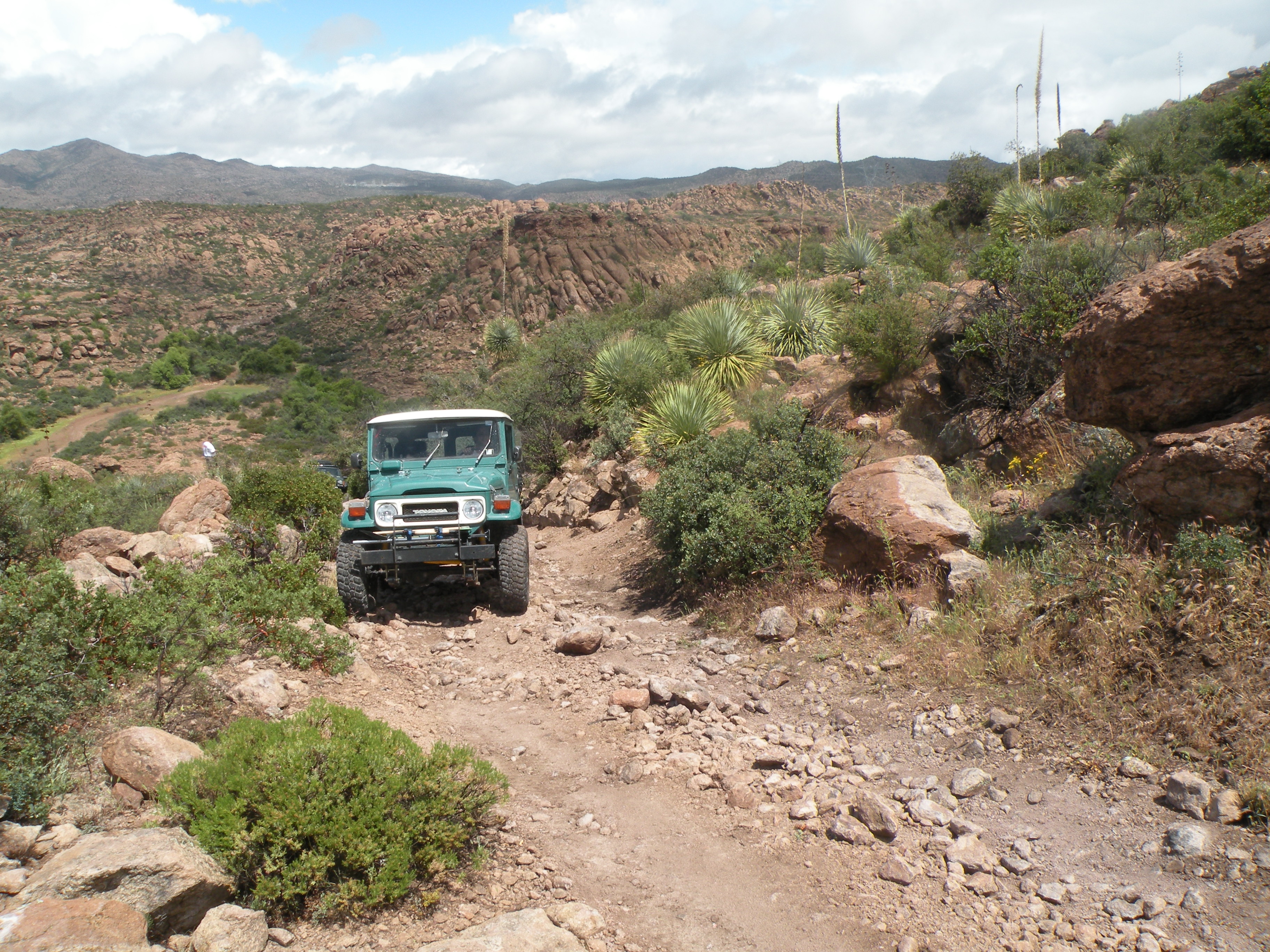
trail on April 26. Nine vehicles in all. This trail is one of the most
scenic of all the trails in our area. The trail head is about 5 miles
east of Superior, AZ. We got back to Tucson about 4:30. This was one of
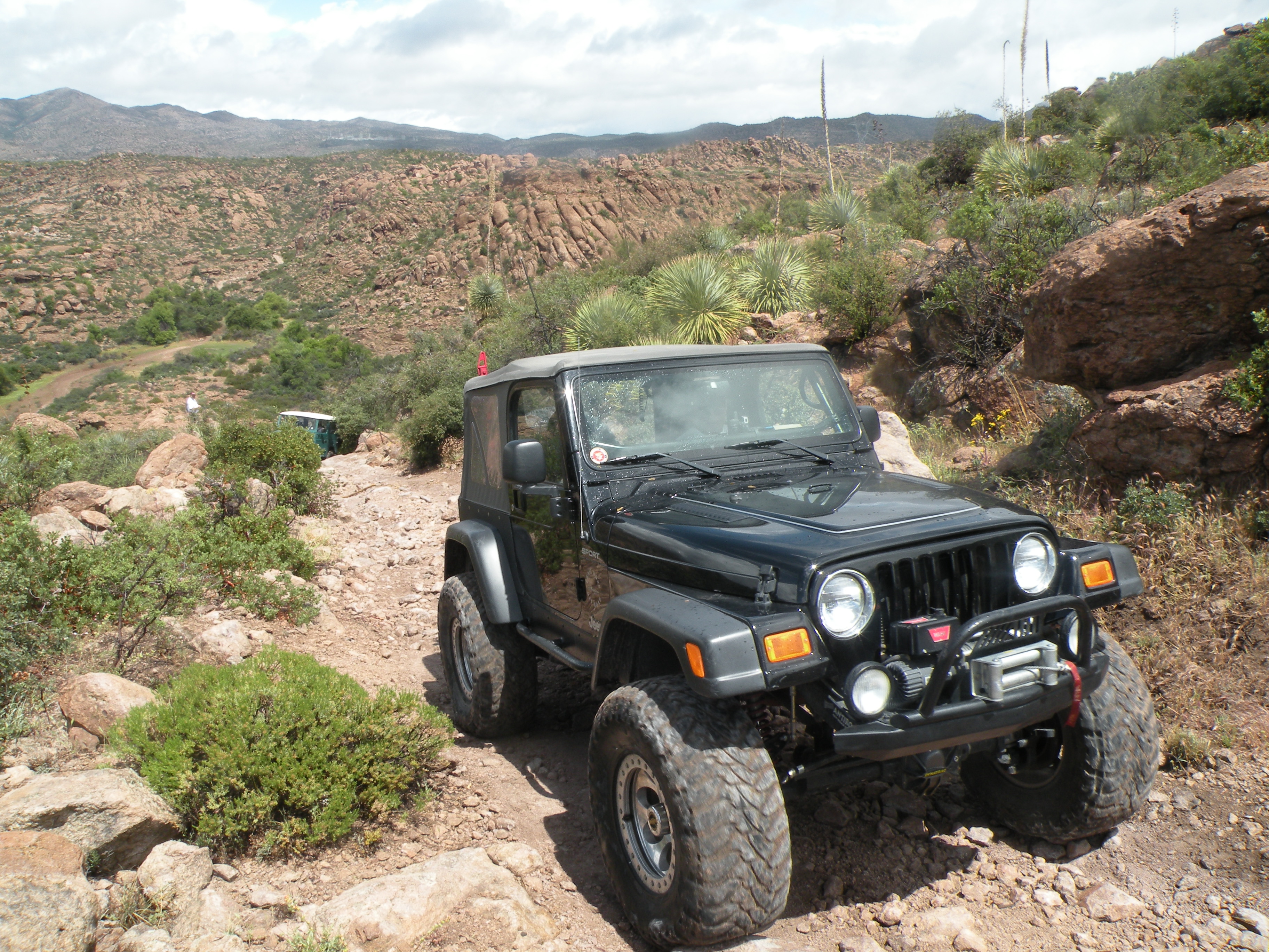
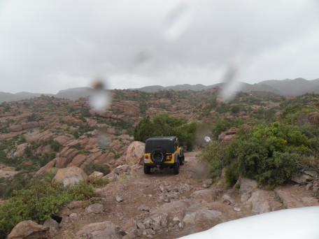
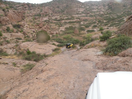
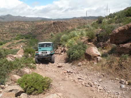
those rare April days when it rained. The hardest rain hit us just as
we came to the hardest part of the trail -- a steep rocky climb. The
vehicles with lockers made it ok. The others had a tough time. Three
of the group took a bypass route. In dry weather this trail would be
rated 3 to 3.5, depending which route you take.
26 April 2012
Photos by John Hill

.
.
.
.
.
.
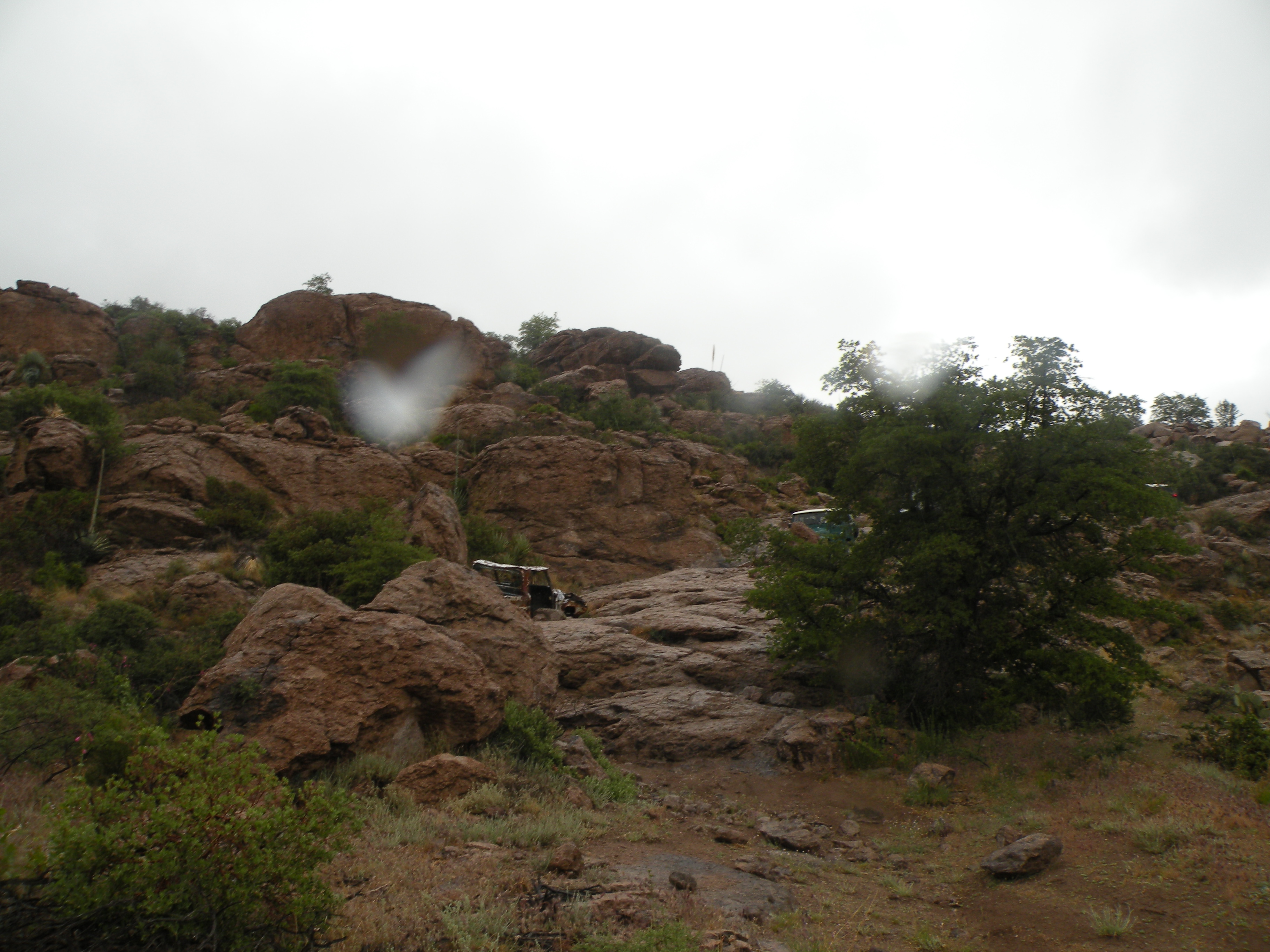
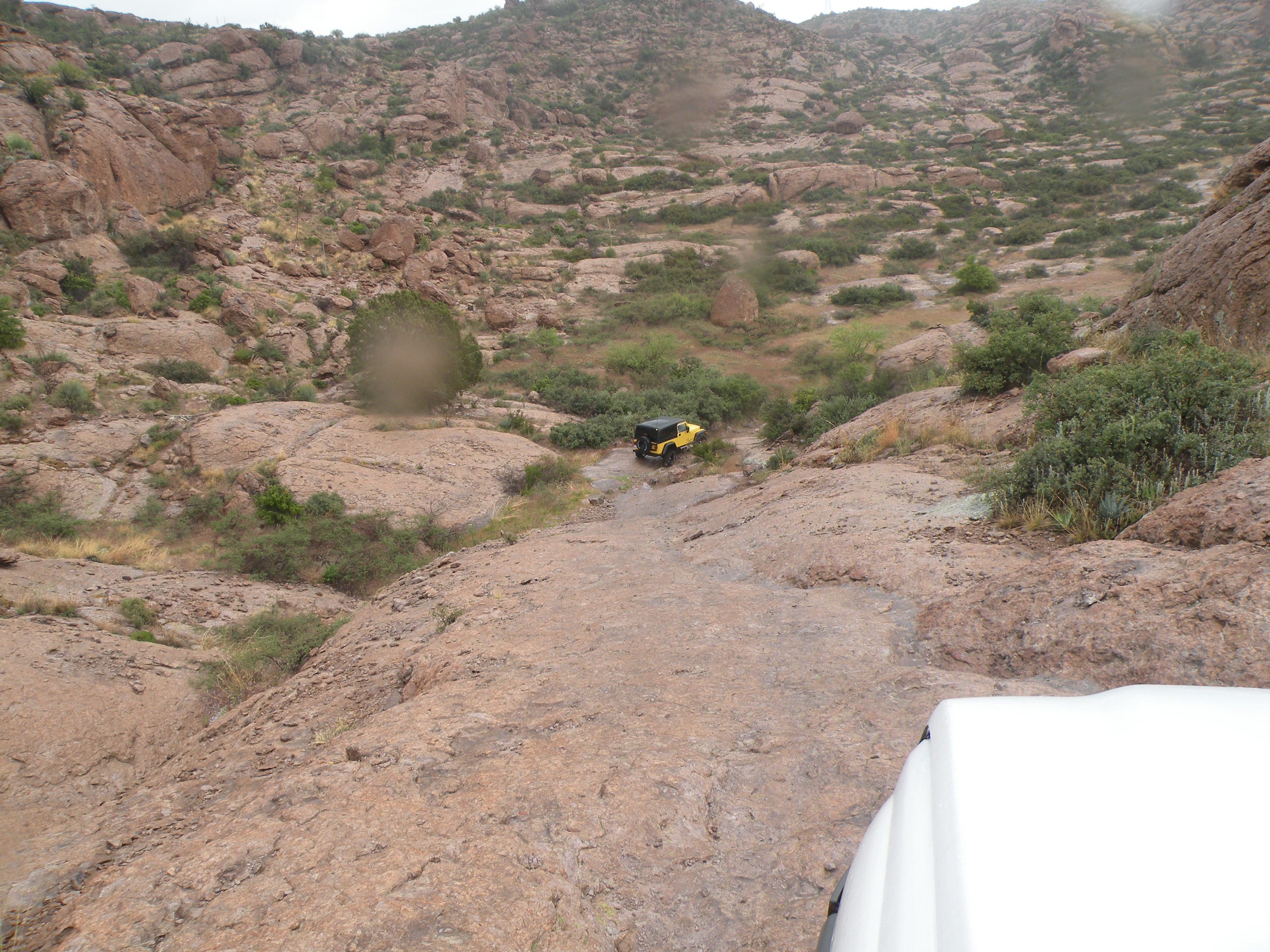
Insert John's Winching Here
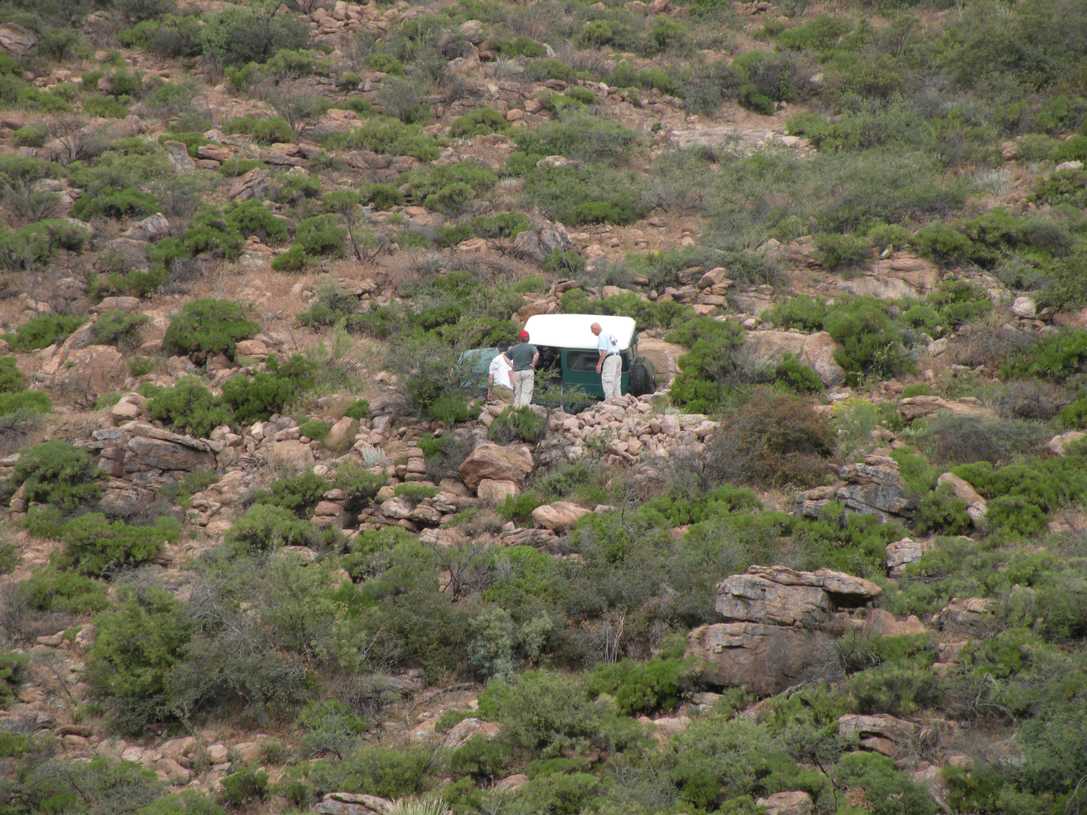
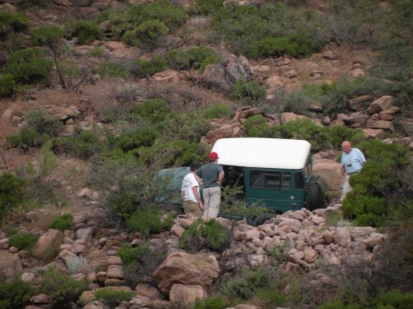
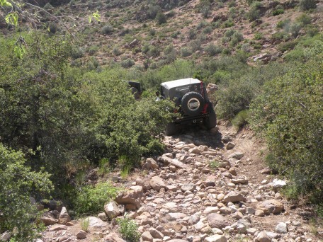
John got hung up on a steep rocky hill climb because rain was making
the rocks wet, and because his rear locker was not working. We'll
have to borrow some photos from Tim to document the winching.
.
.
.
.
.

.
.
.
.

.
.
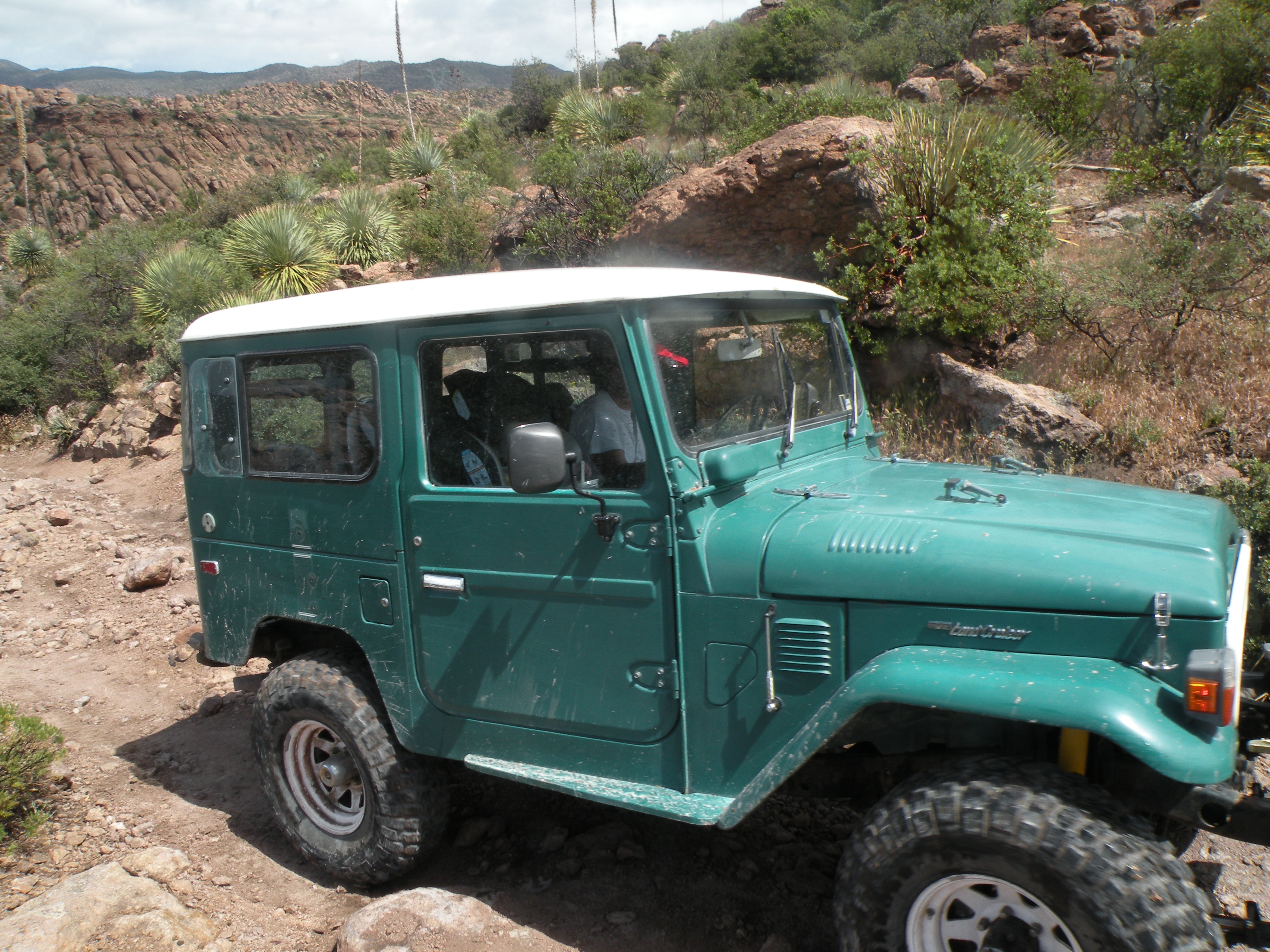
Dave's got the Cruiser in a tippy position (not well depicted in the photo).

.
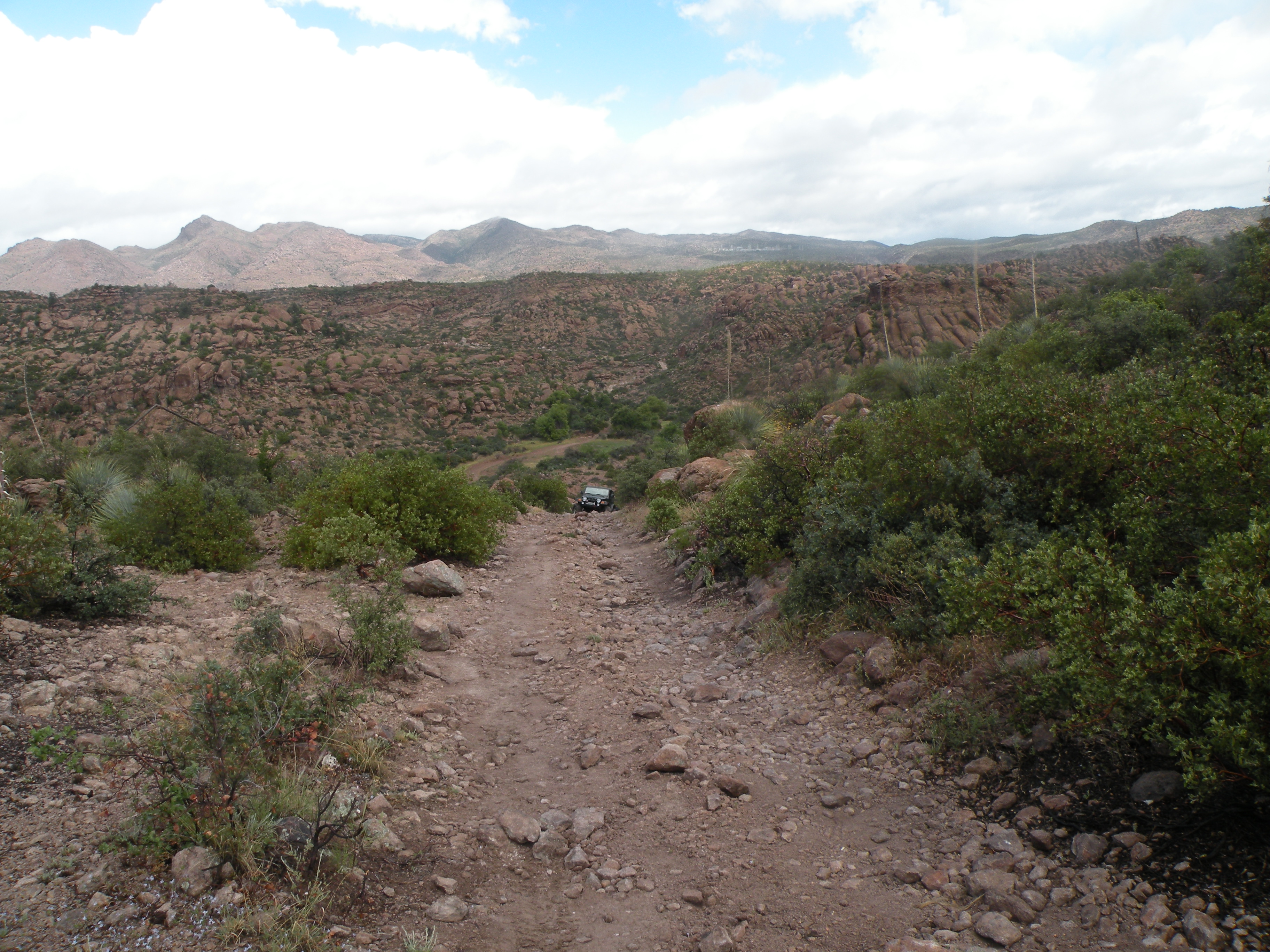
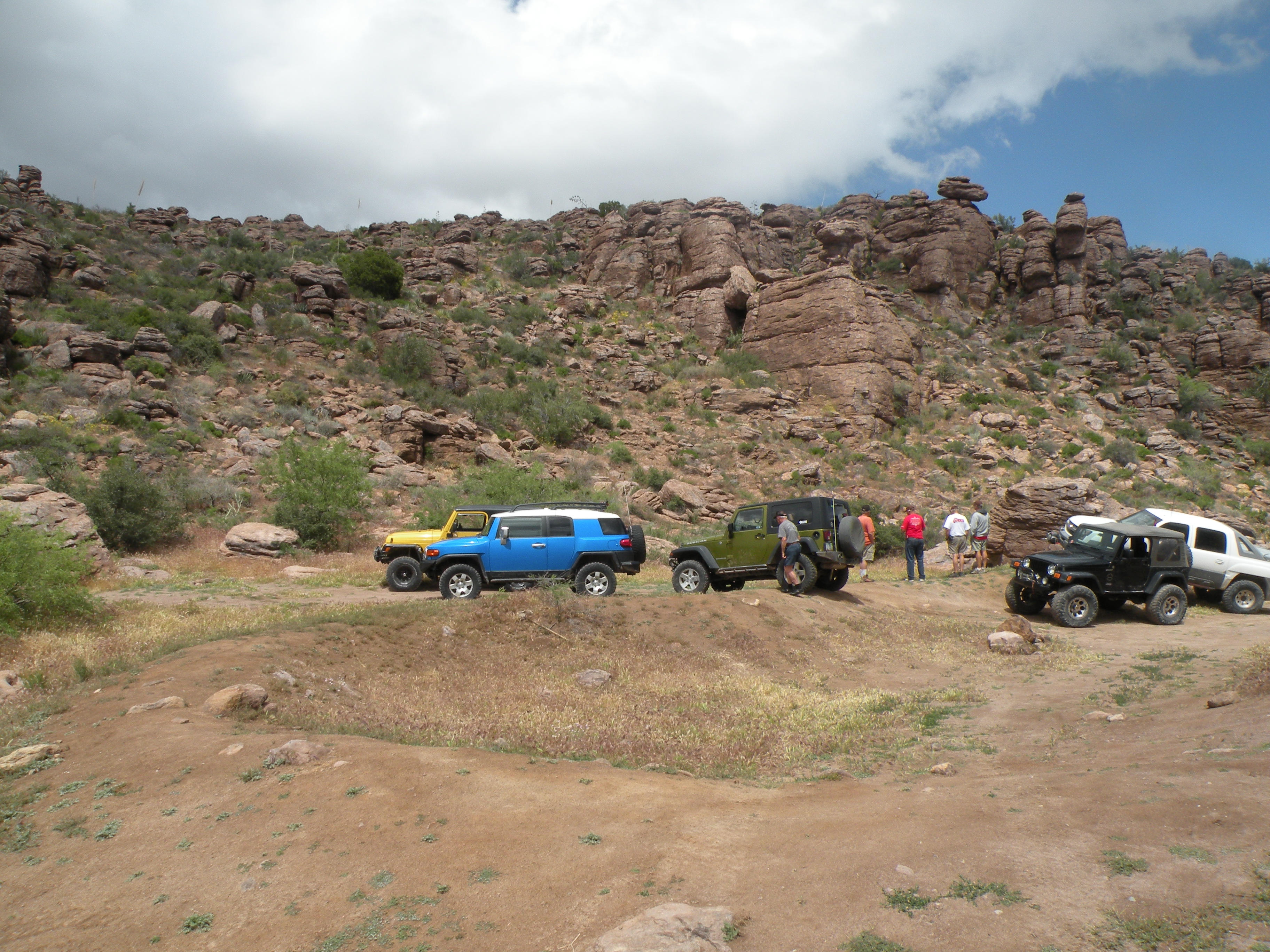
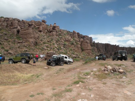
Lunch
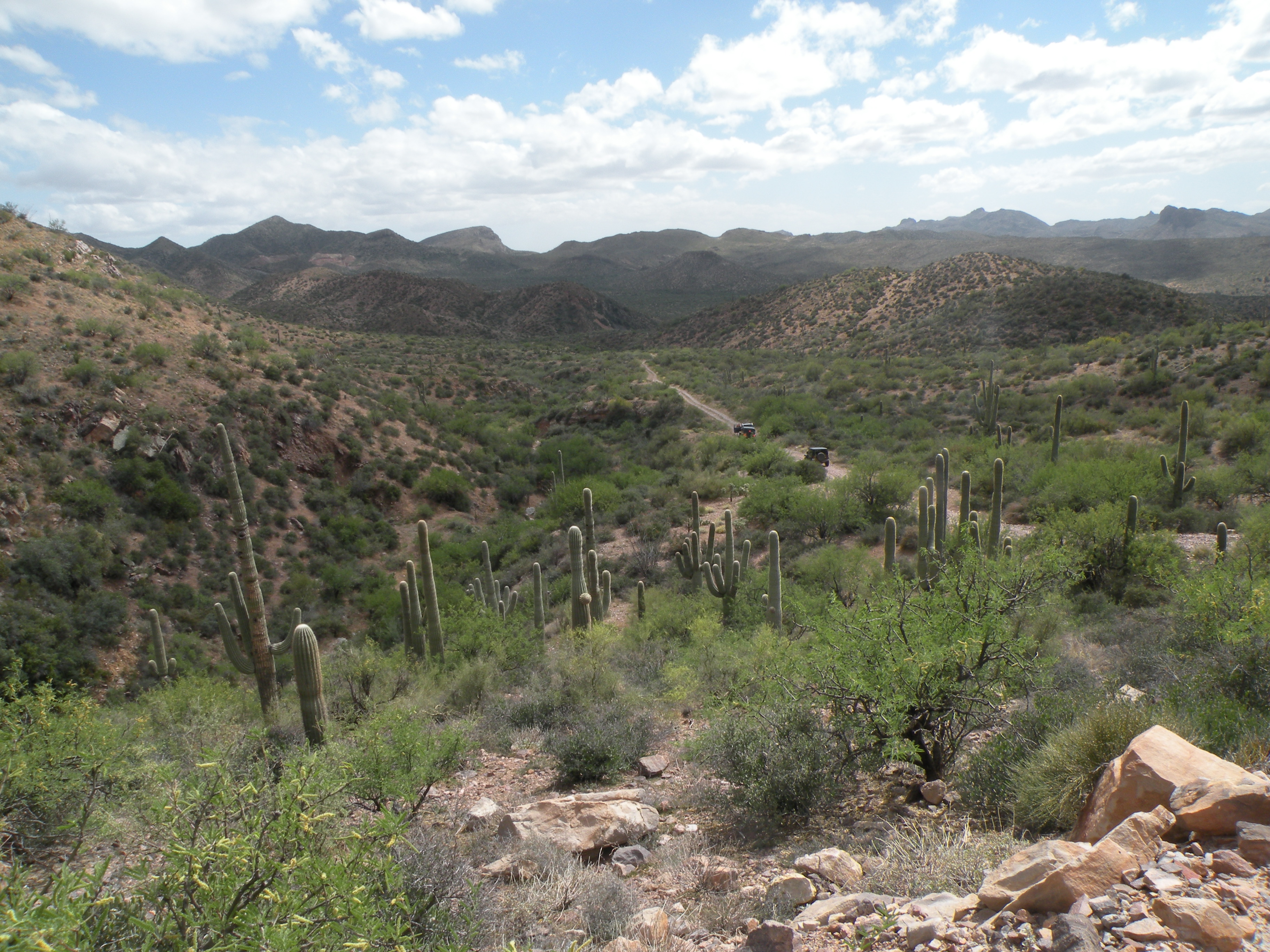
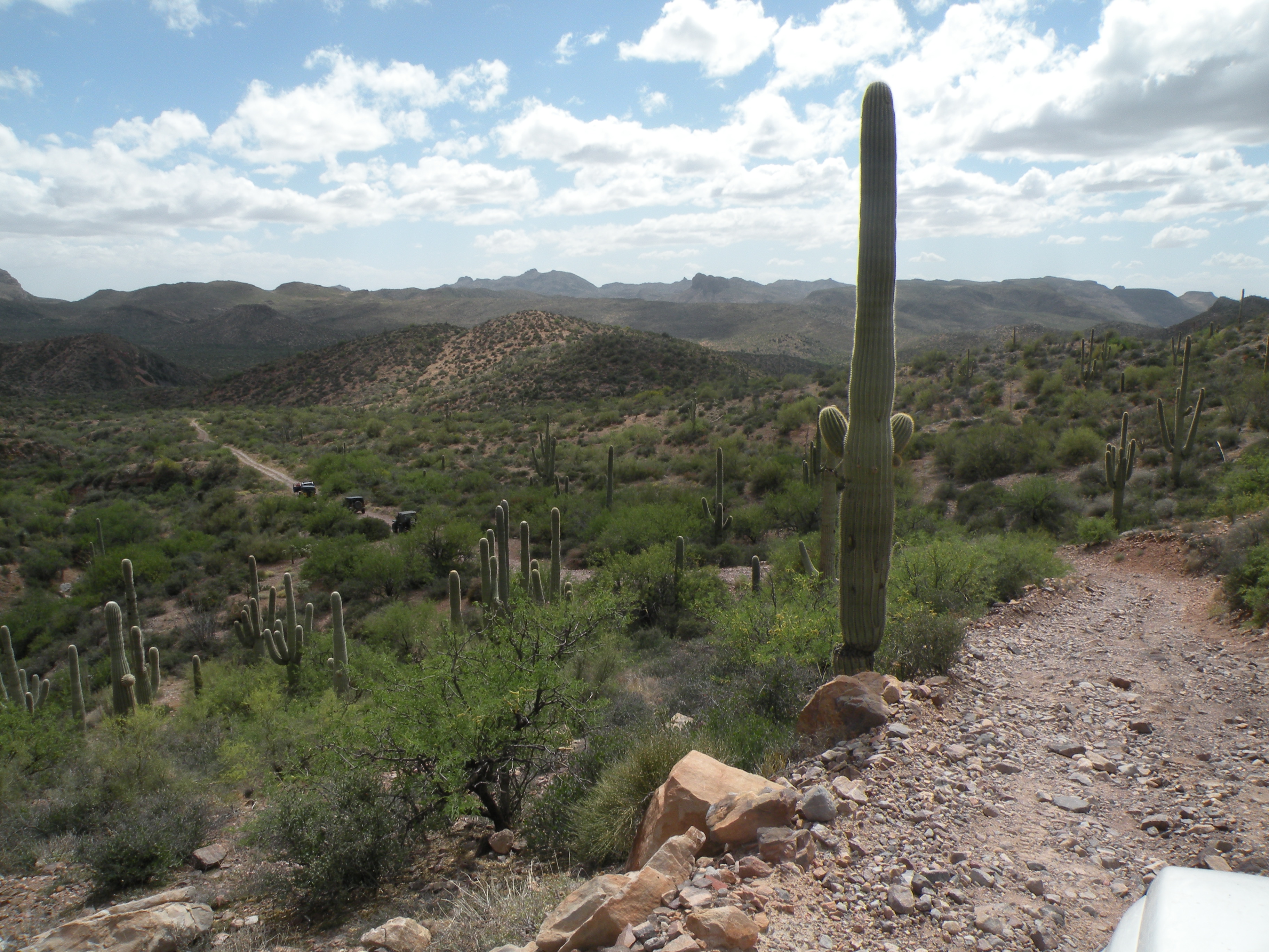
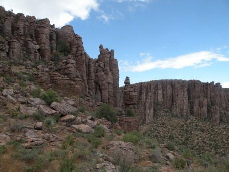
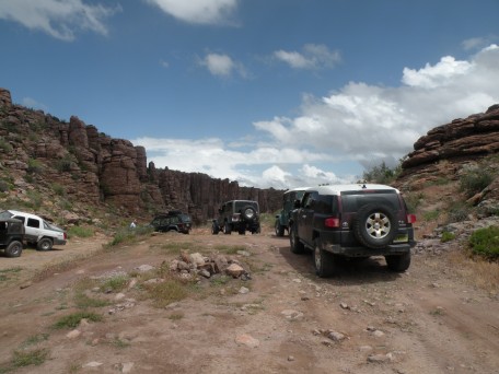
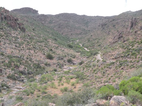
You can get to the lunch spot and Devil's Canyon on a well-graded road without
taking the rocky route that we took in the morning.

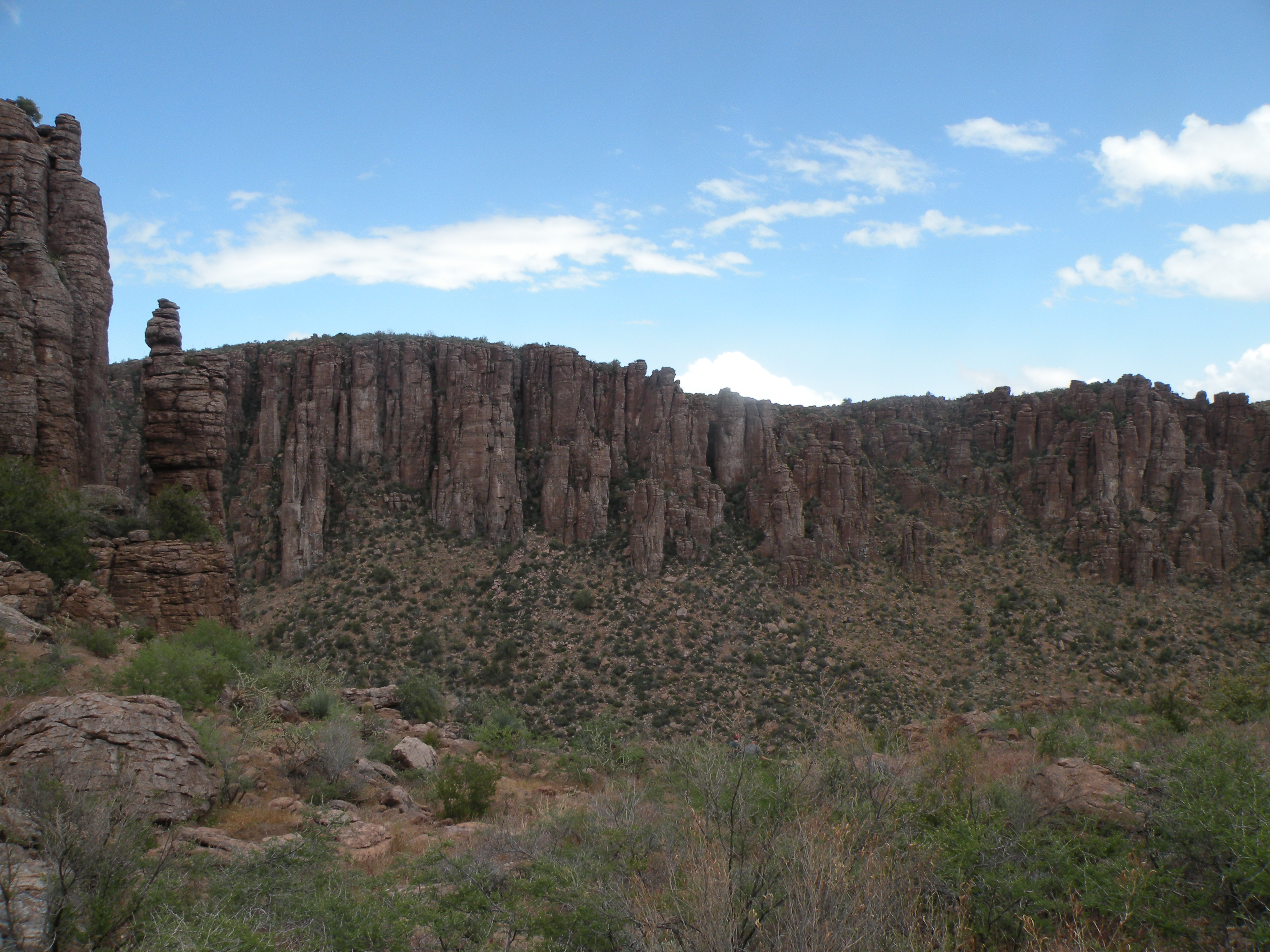
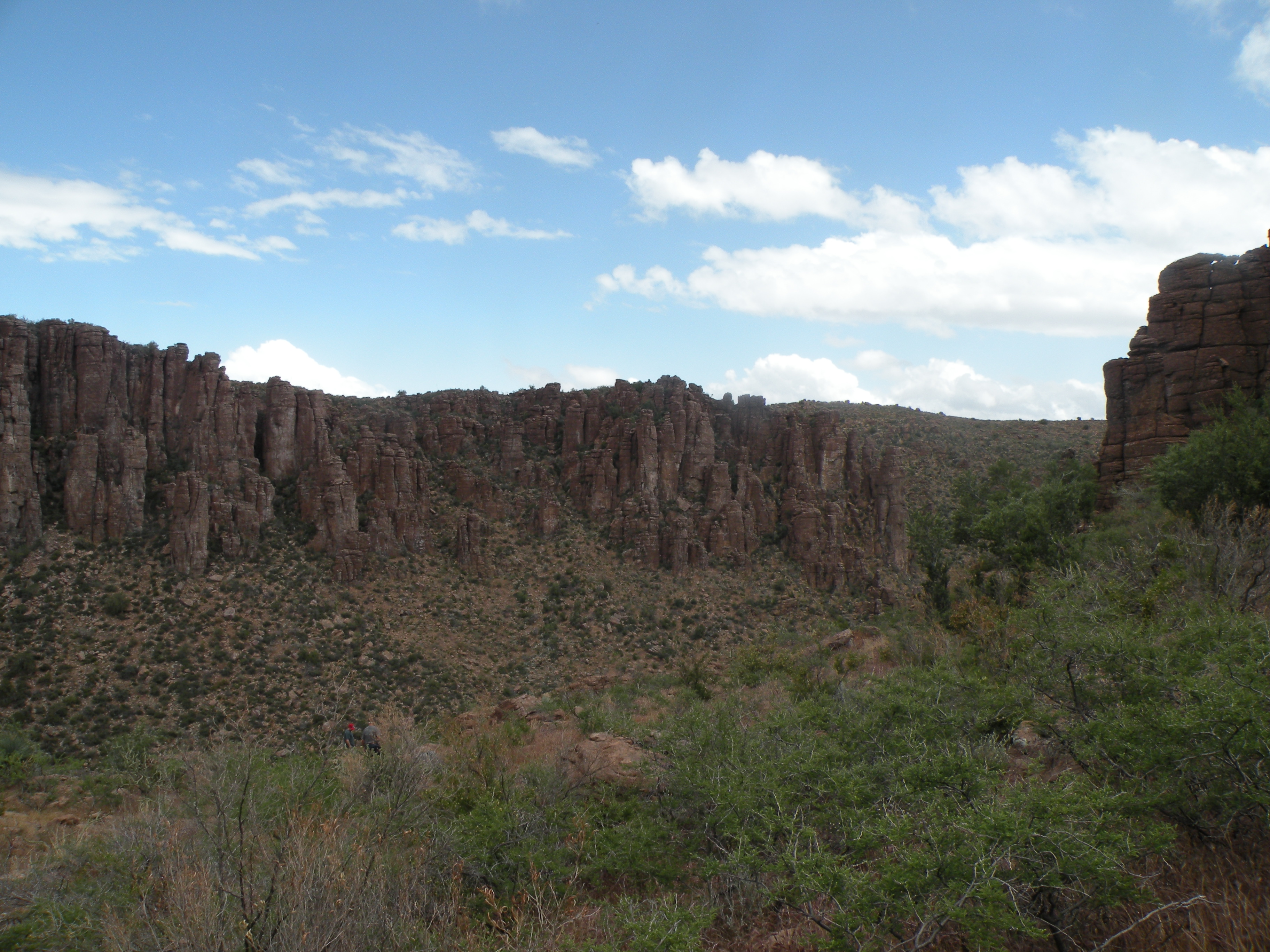
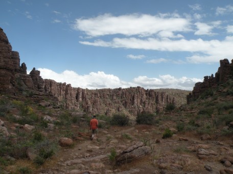
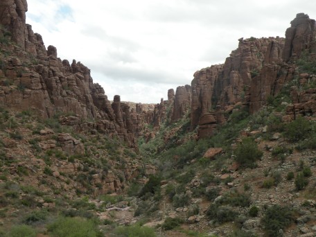
On the side trail to Devil's Canyon.....
.
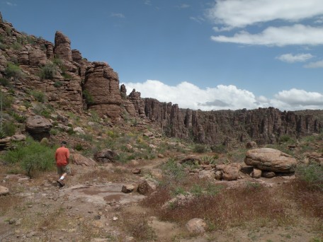
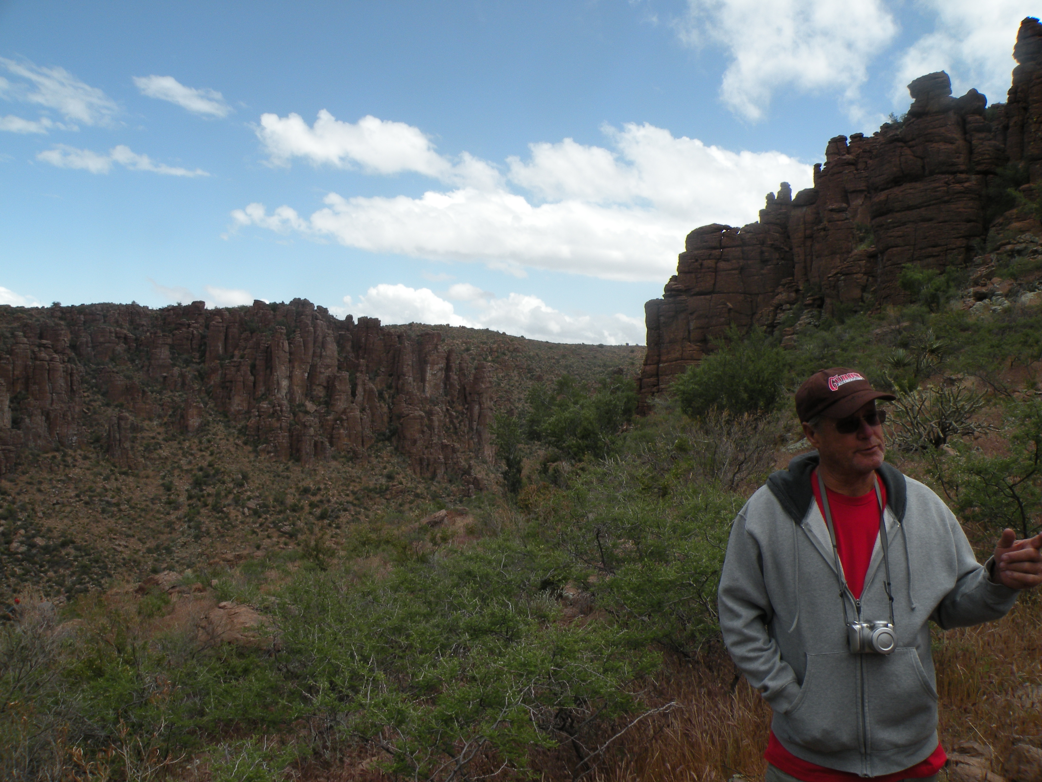
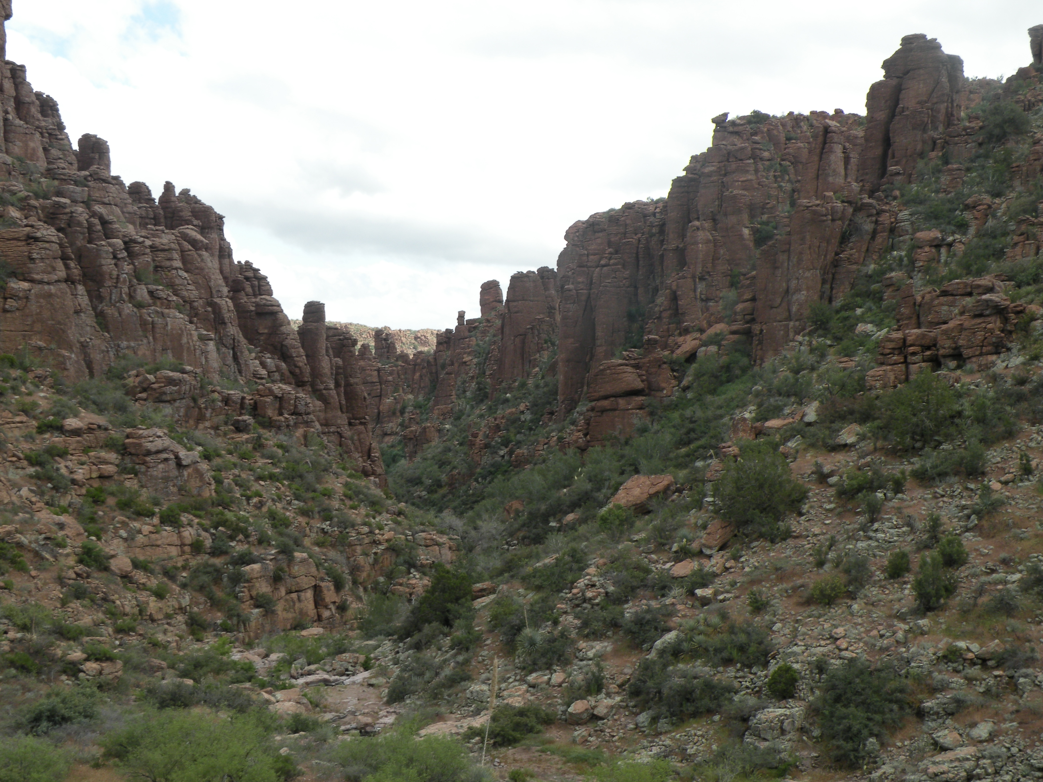
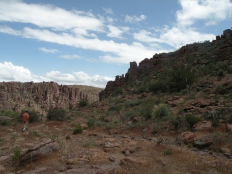
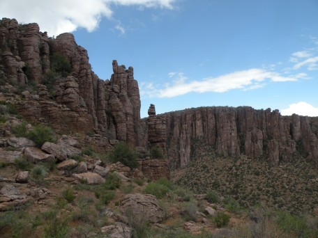
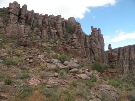
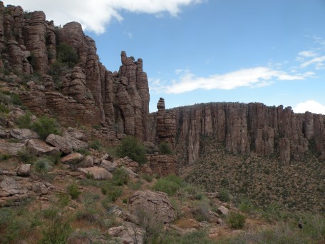
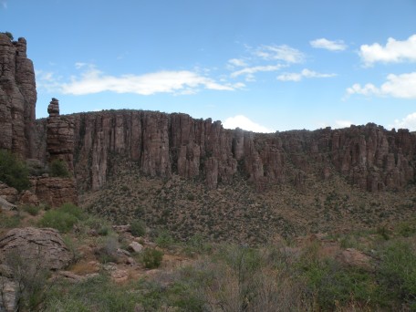
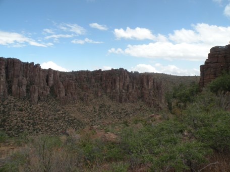
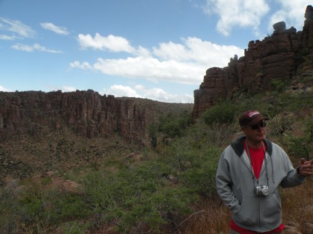
A short walk to Devil's Canyon....
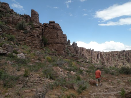
.
.
.
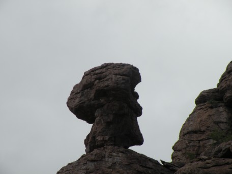
Jay Leno?
.
.
.
.
.
.
.
.
.
.

.
.
.

.
.

.
.
.
.
.
.
.

.
.
.

.
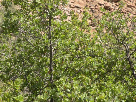
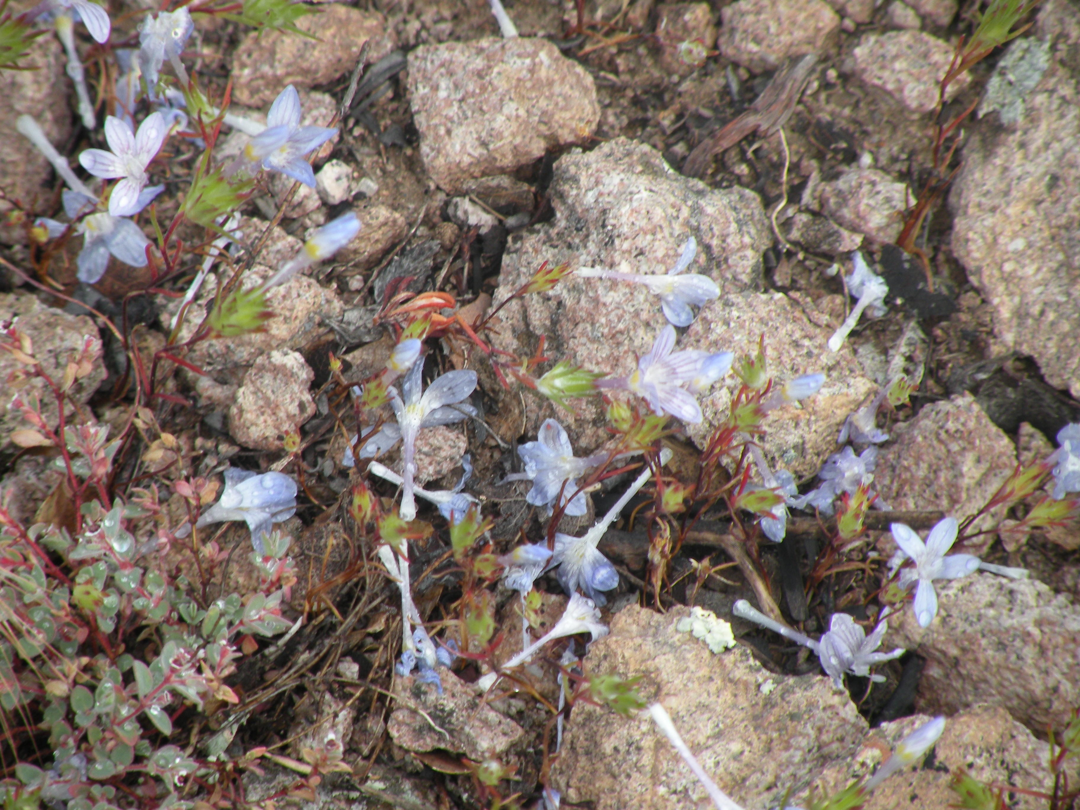
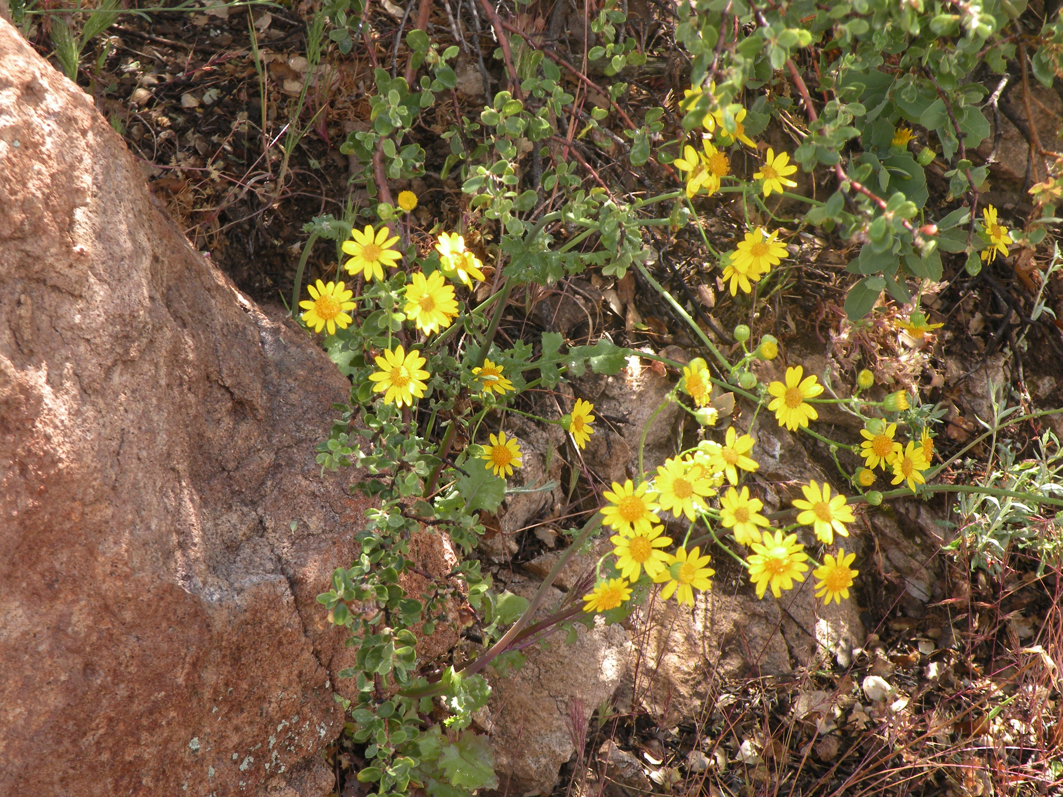
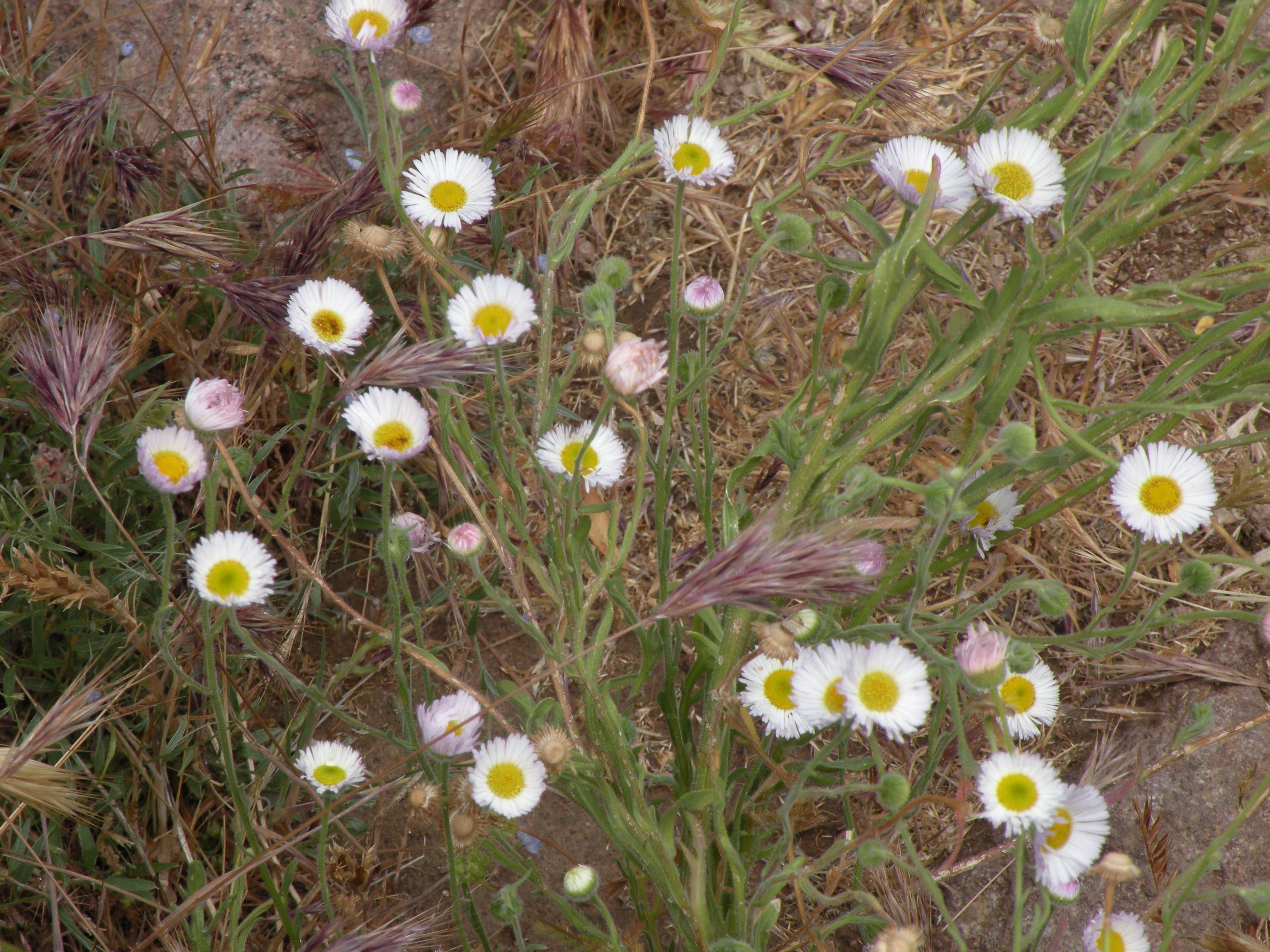
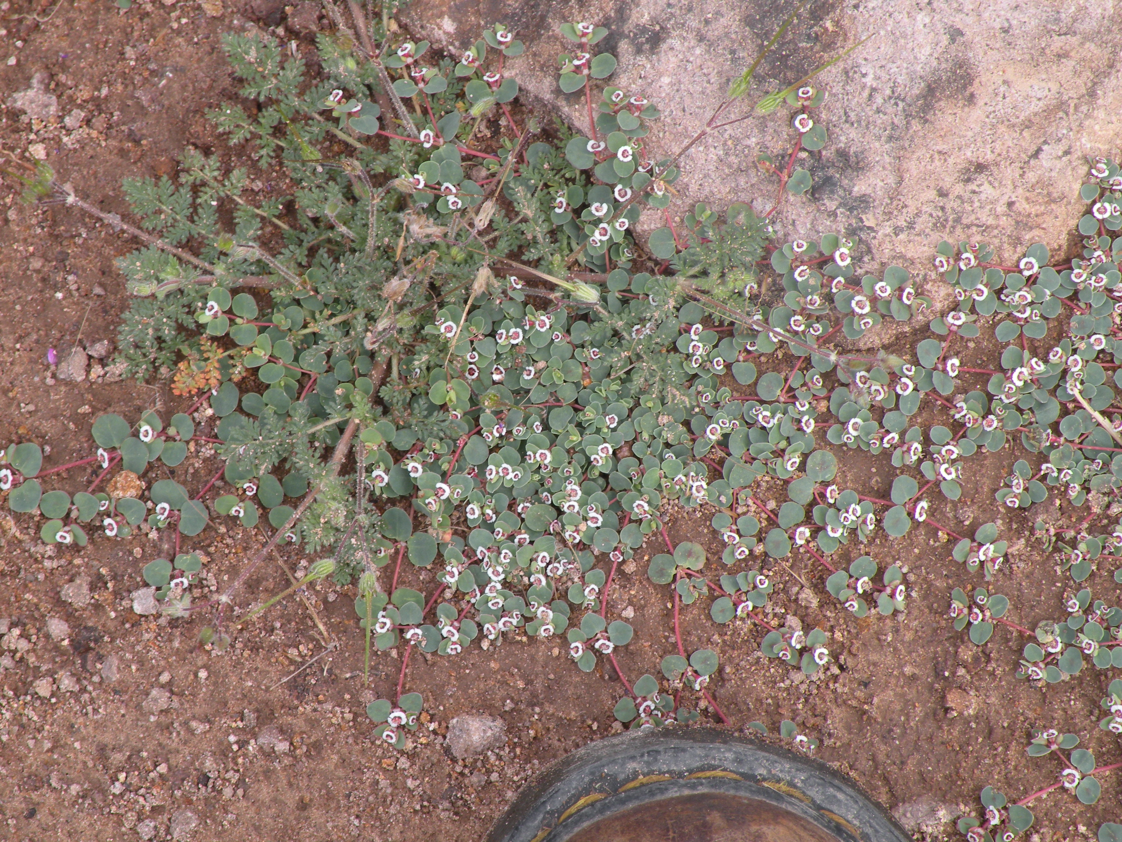
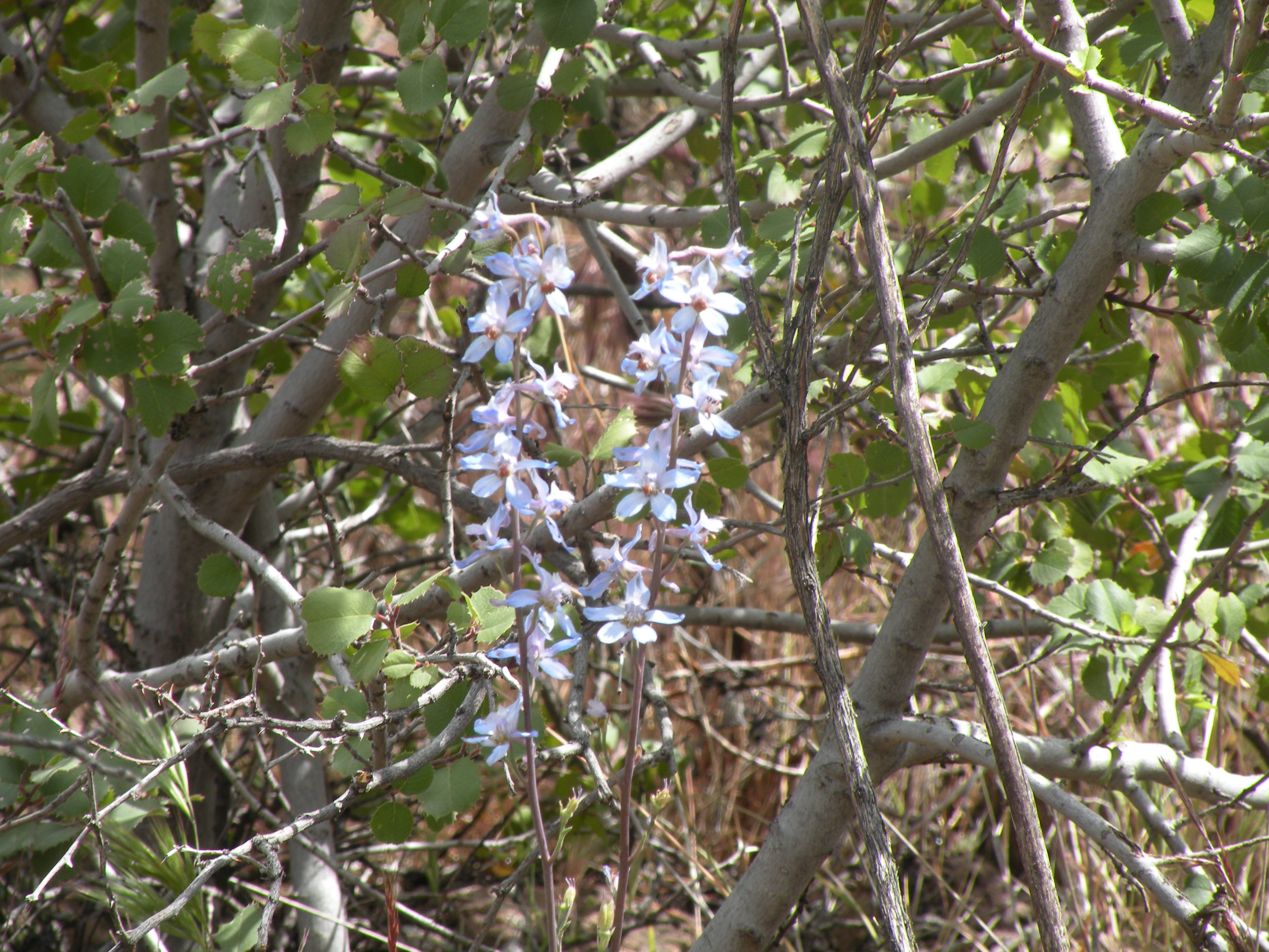
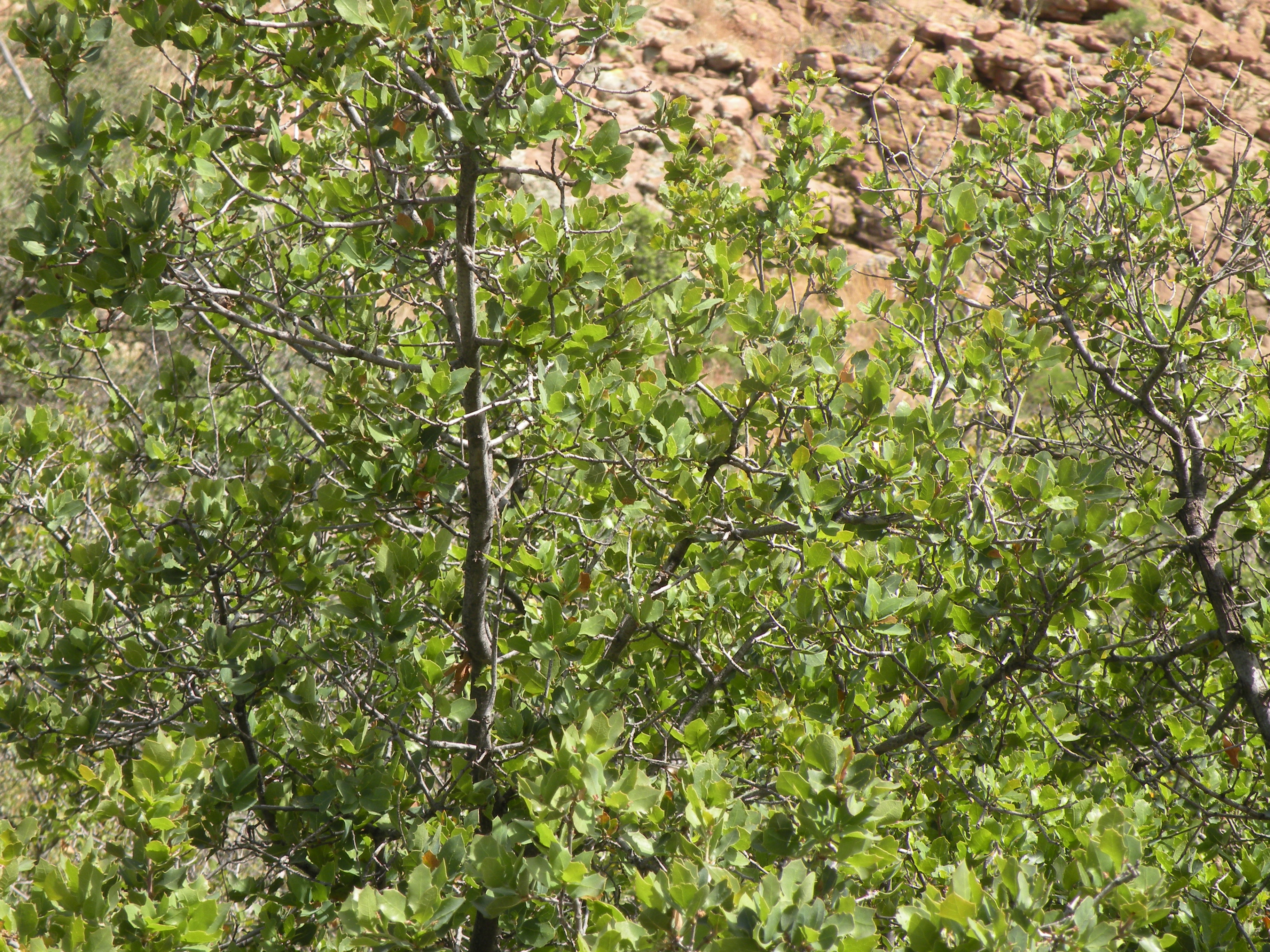
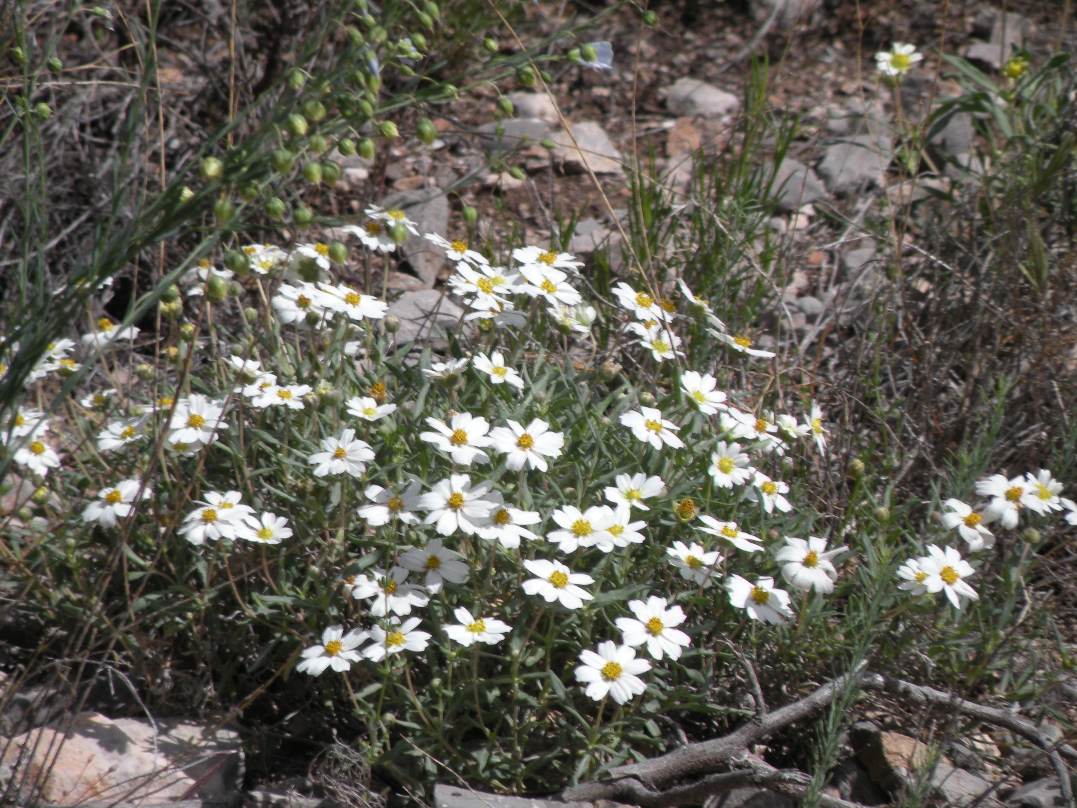
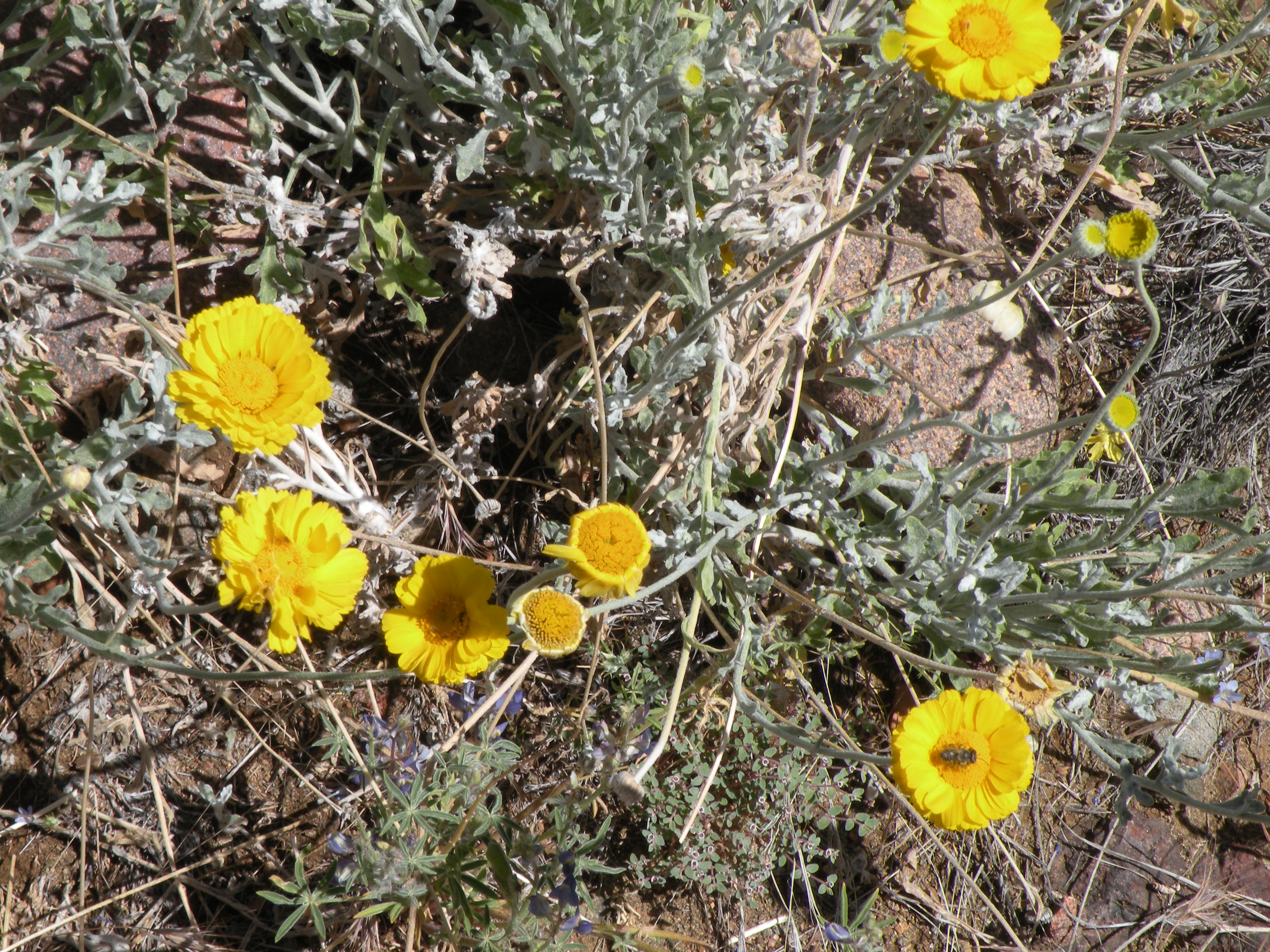
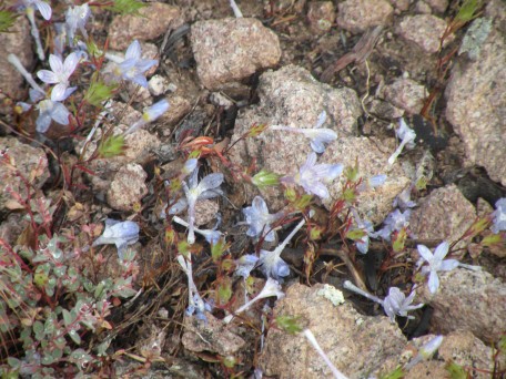
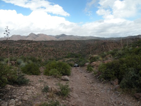
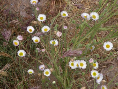
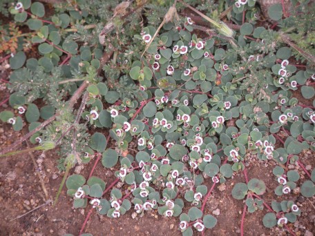
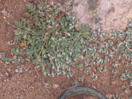
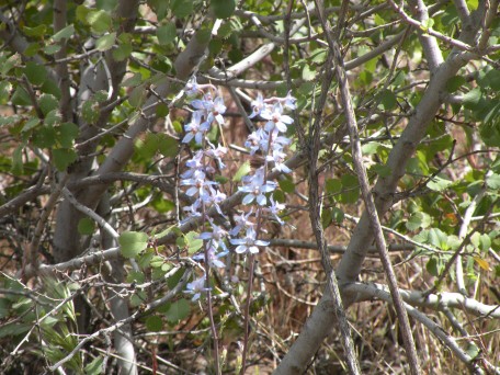
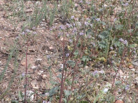
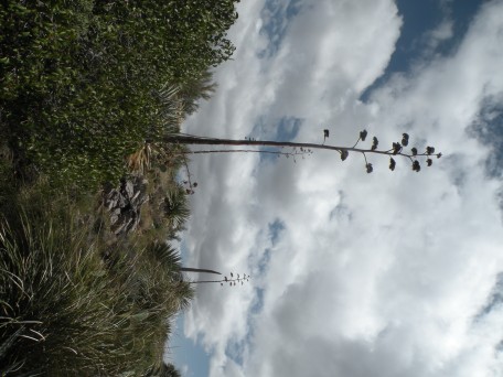
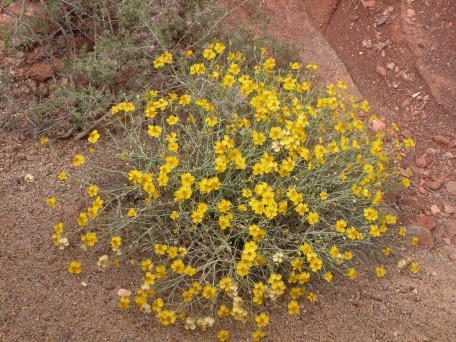
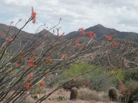
We presume these are hackberry bushes.

.
.
.
.
.
.
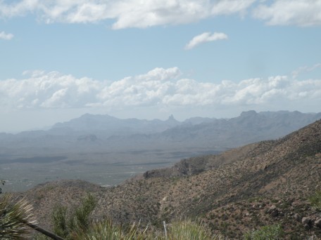
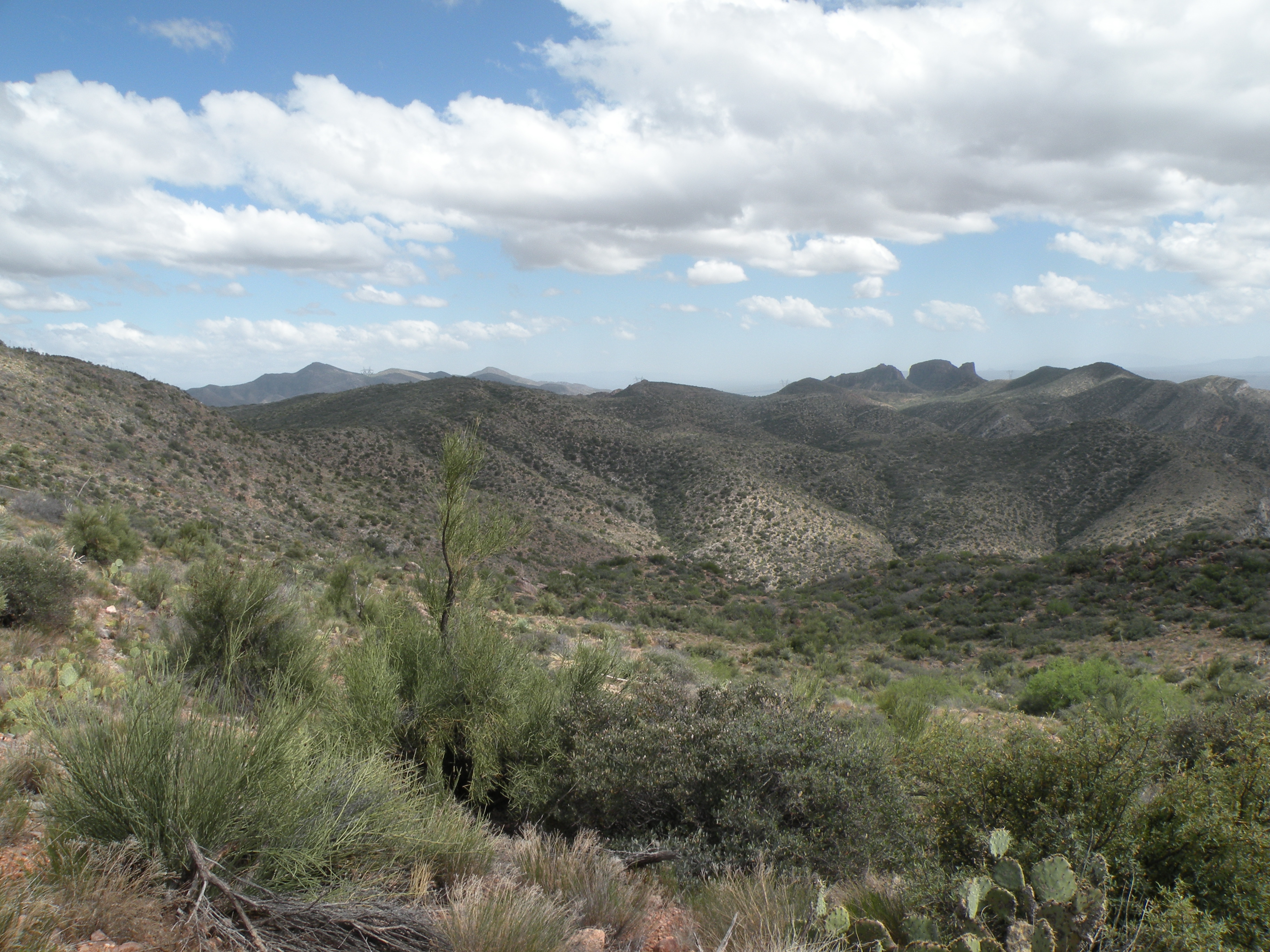
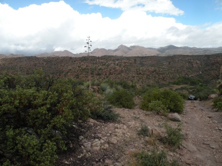
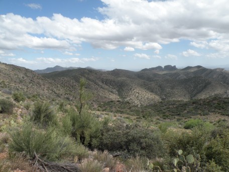
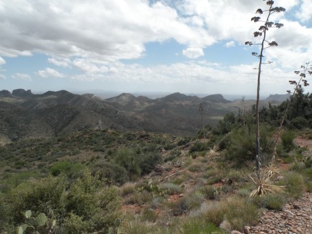
Looking out toward Weaver's Needle.
.
.
.
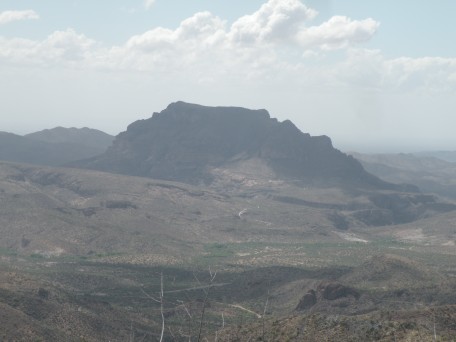
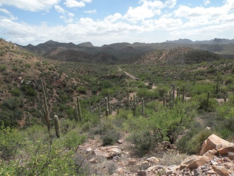
Picketpost Mountain.
.
.
.
.

.
.
.
.
.
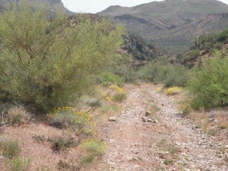
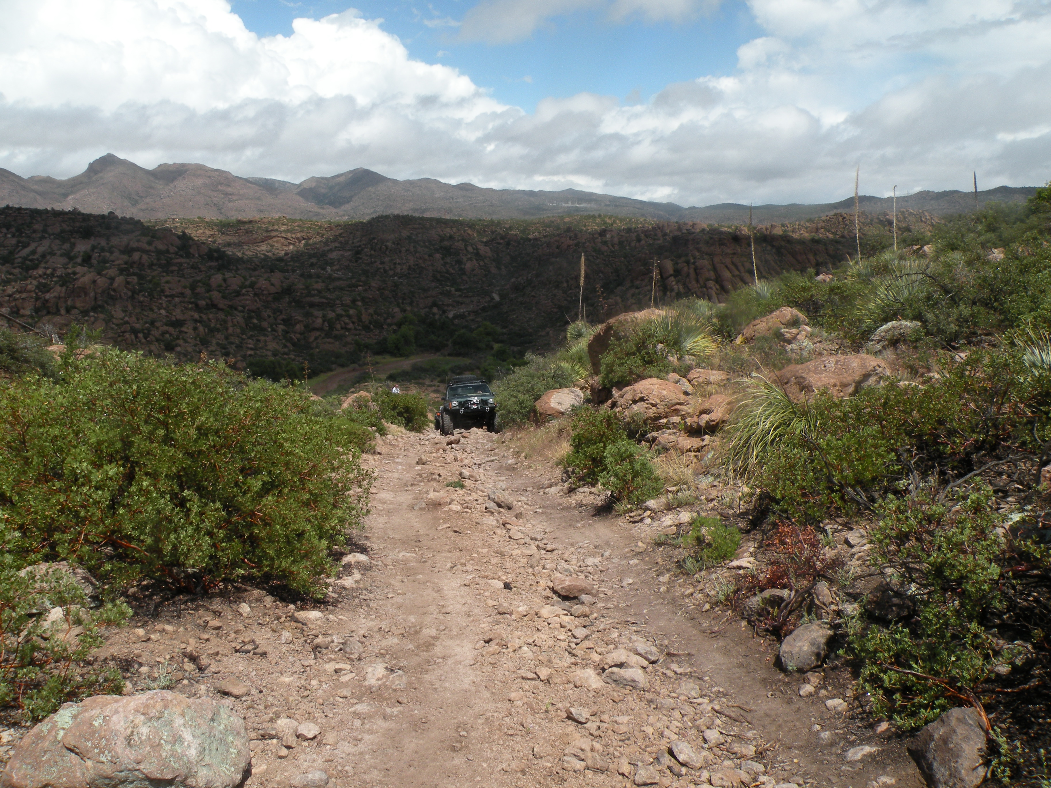
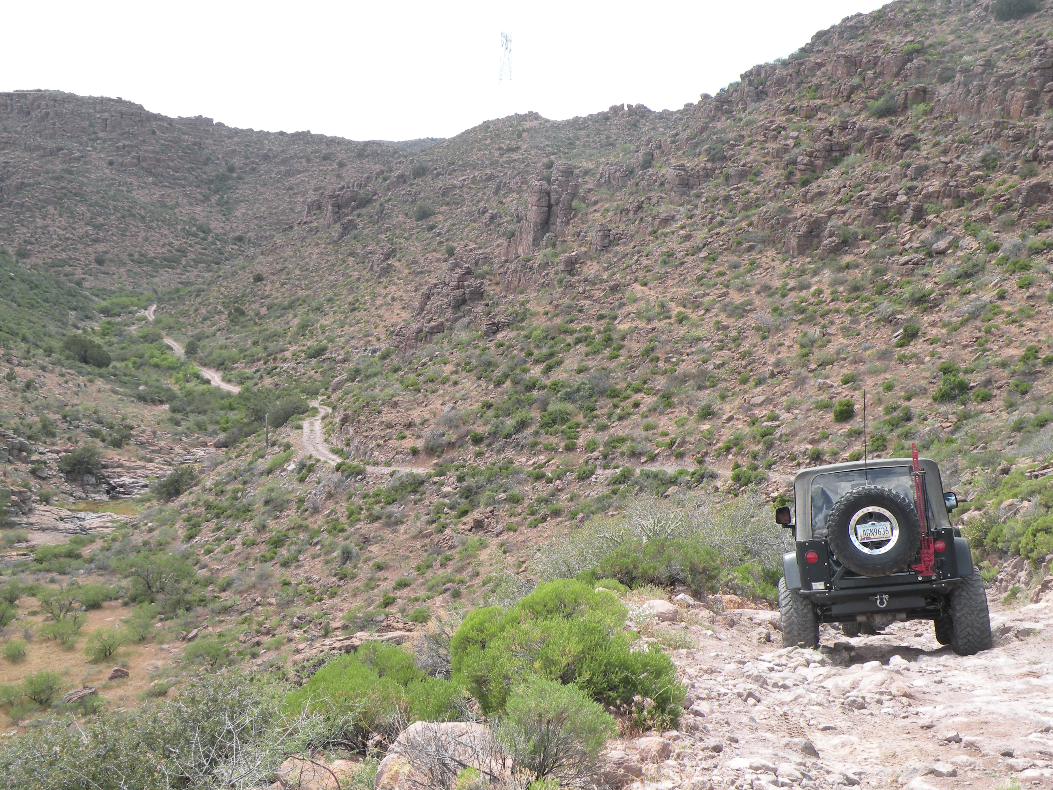
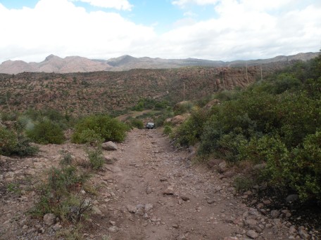
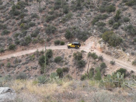
The road out to Hwy 177.

.
.

.
This web page maintained by John M. Hill:
jhill@as.arizona.edu
All contents copyright © 2012 John M. Hill. All rights reserved.
John's 4x4 page
Last modified: Mon Apr 30 18:57:10 2012