
.
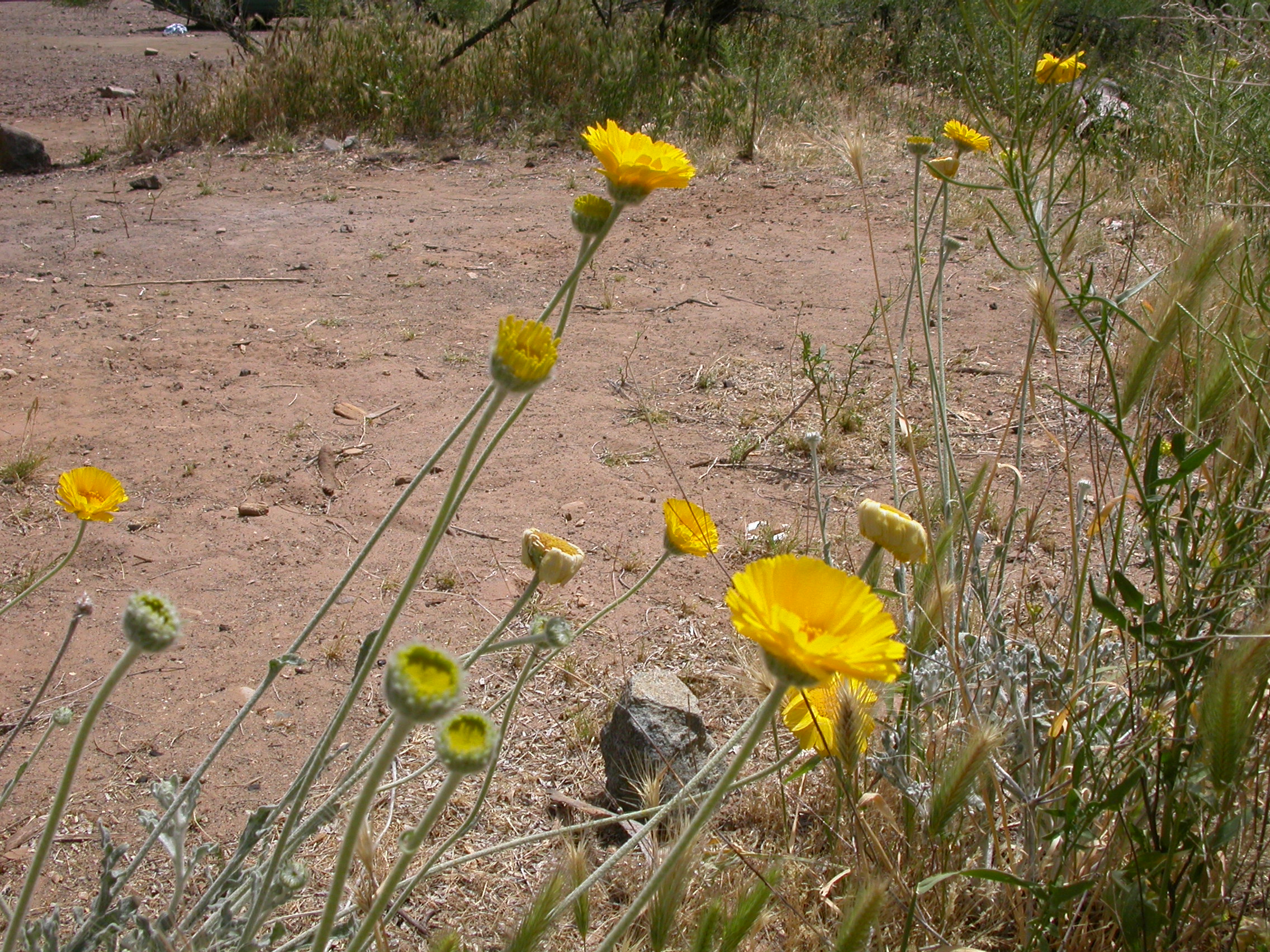
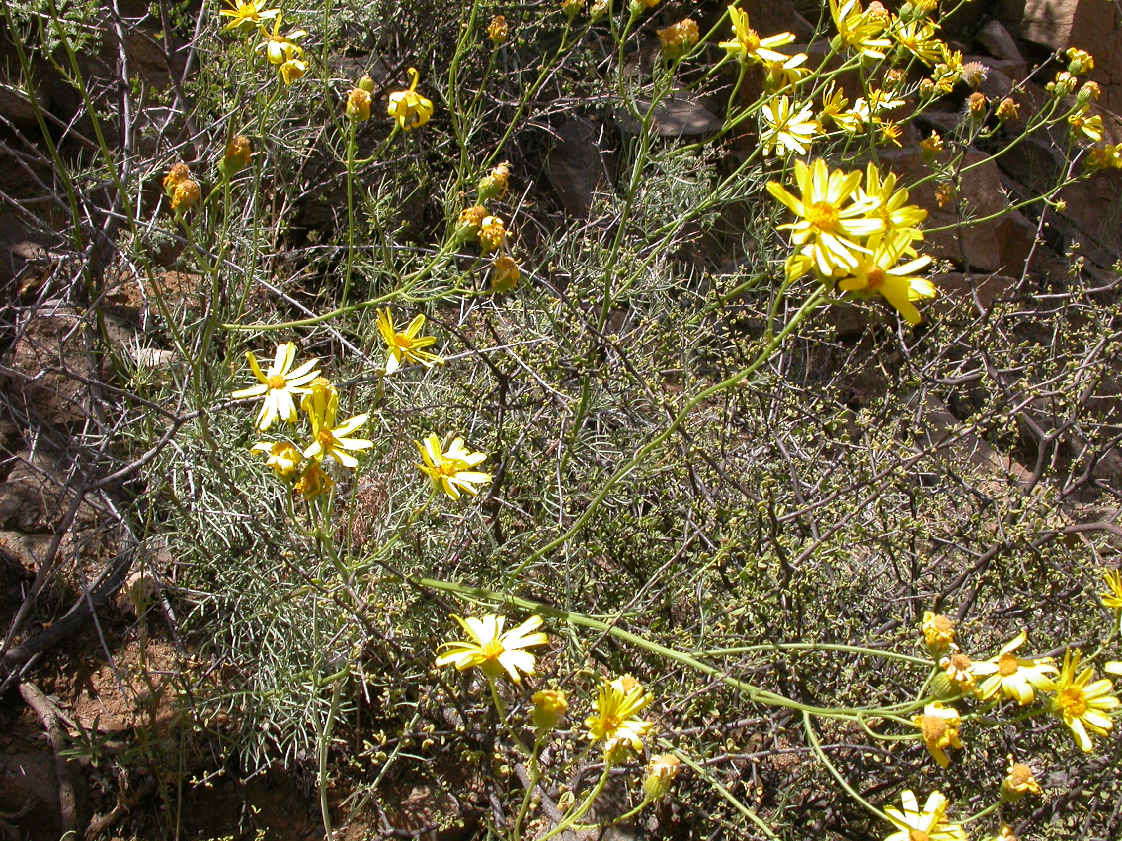
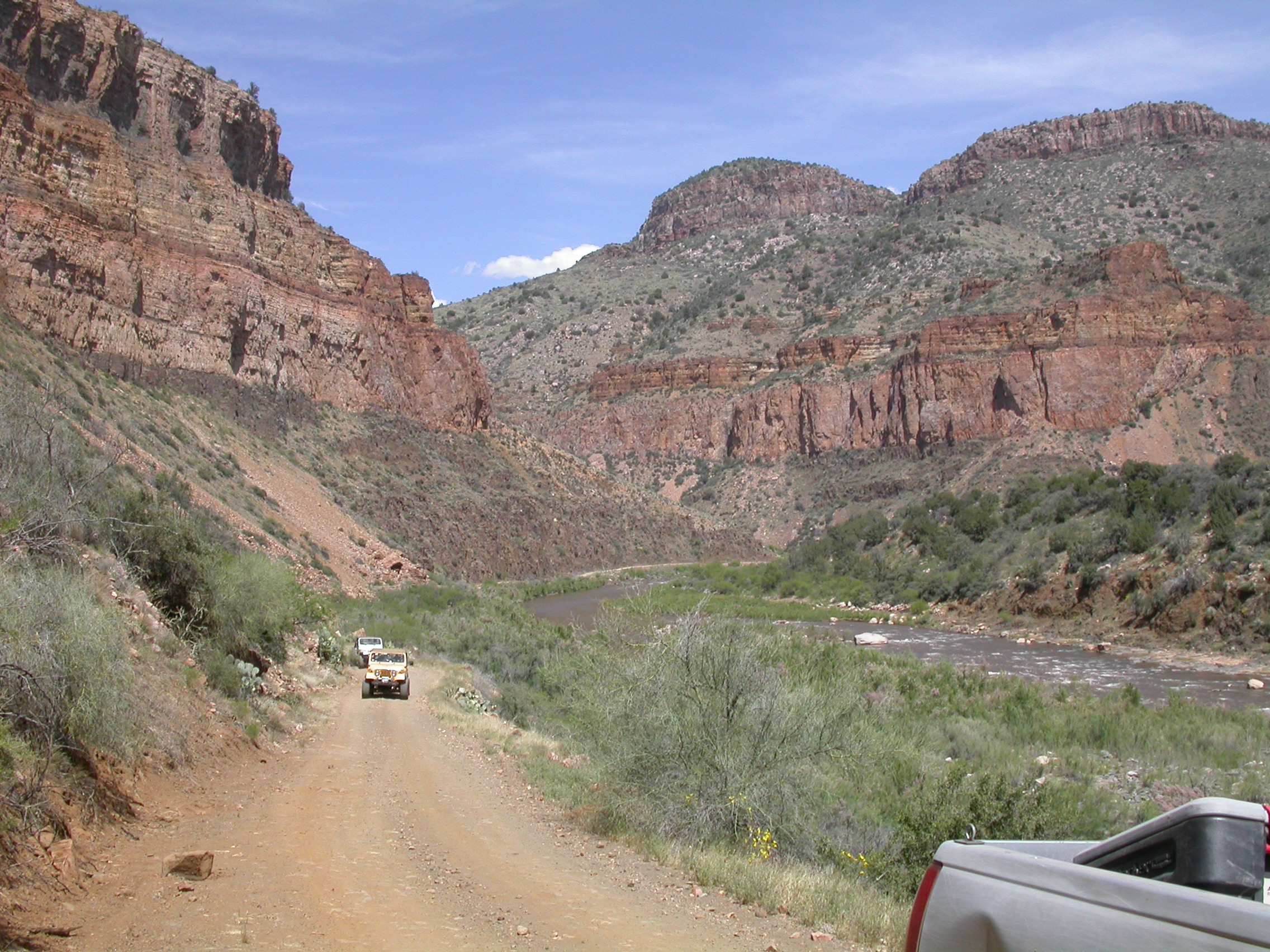
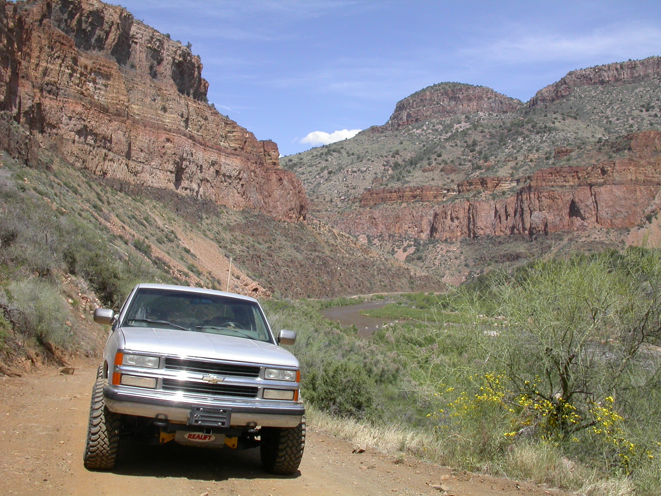
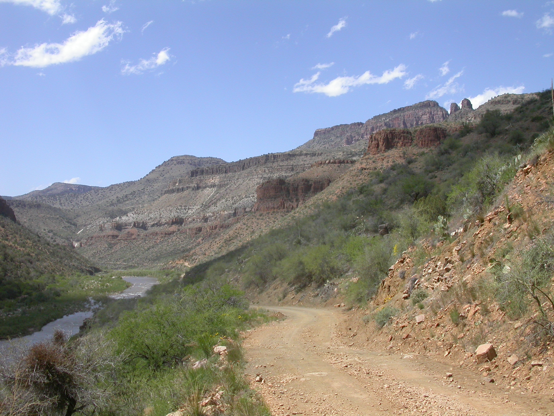
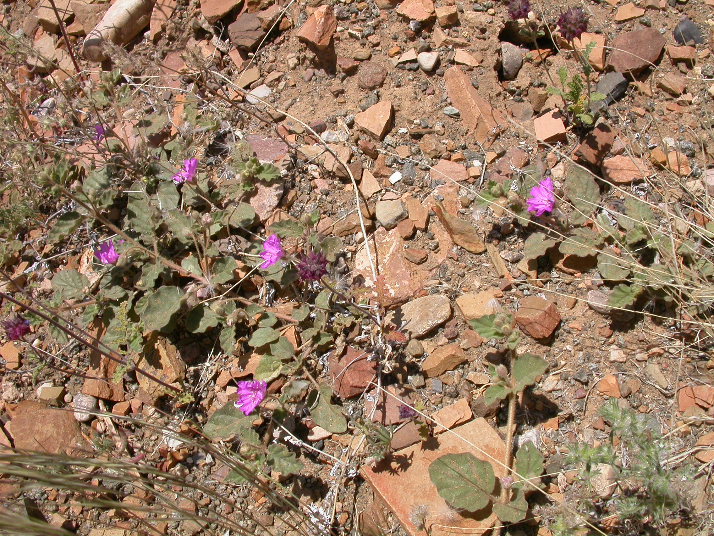
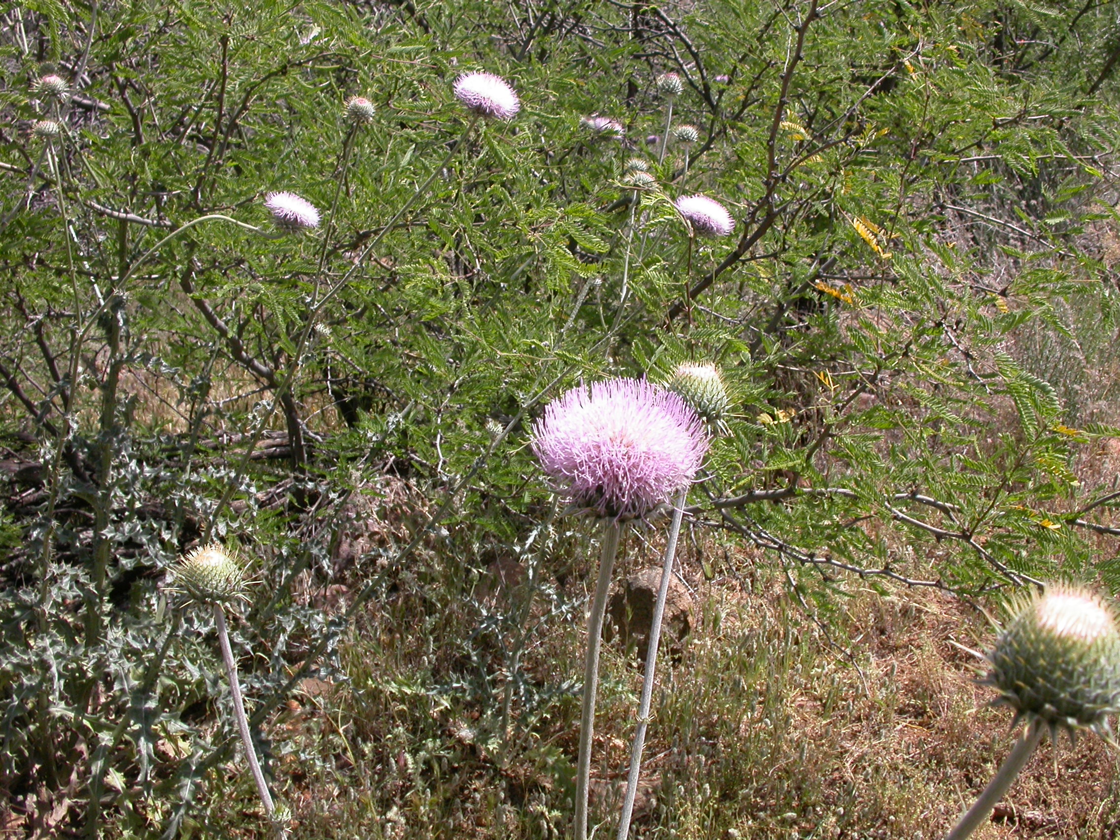
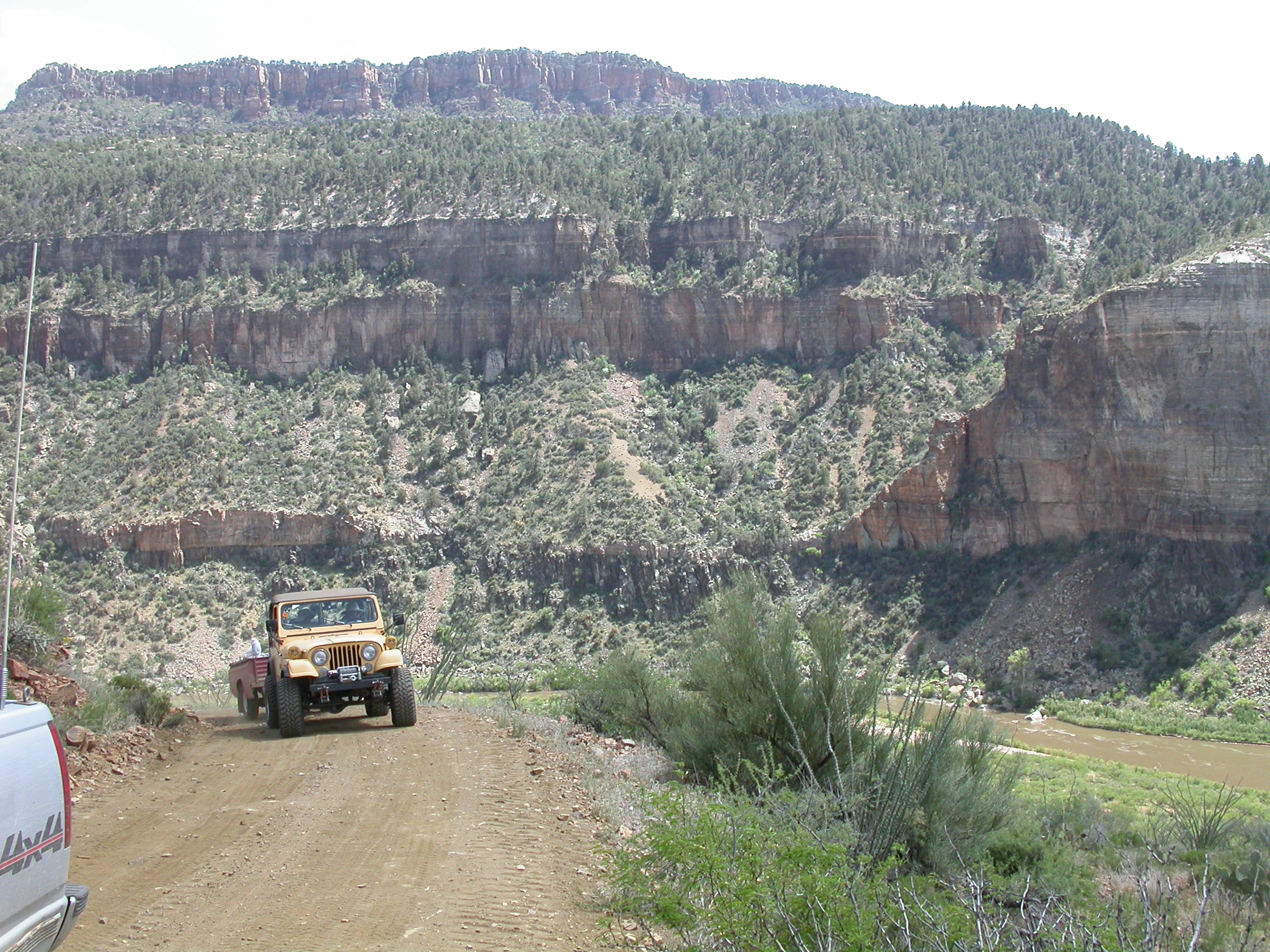
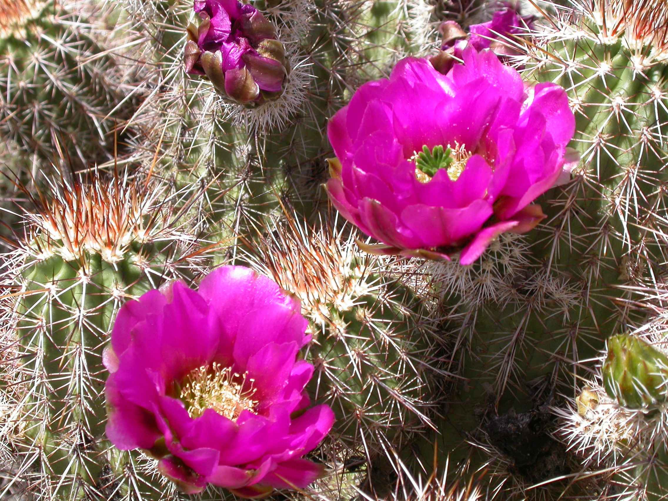
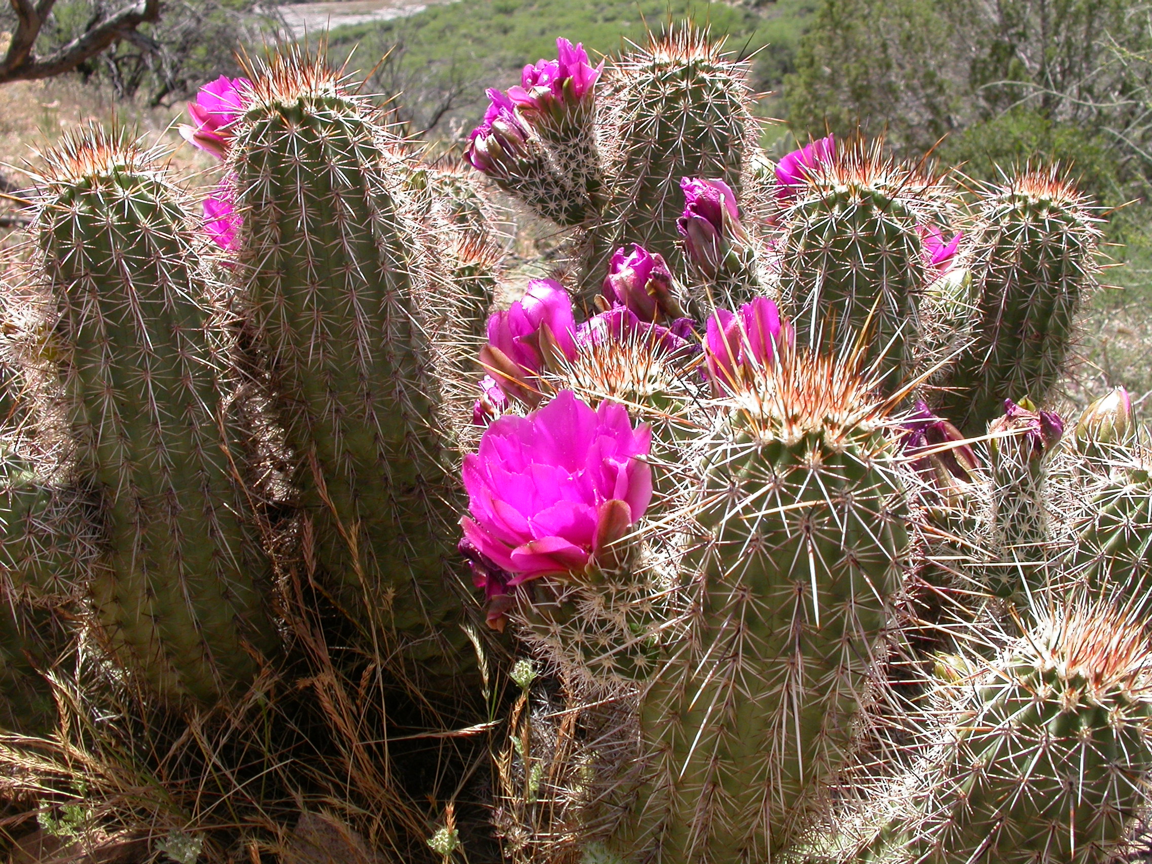
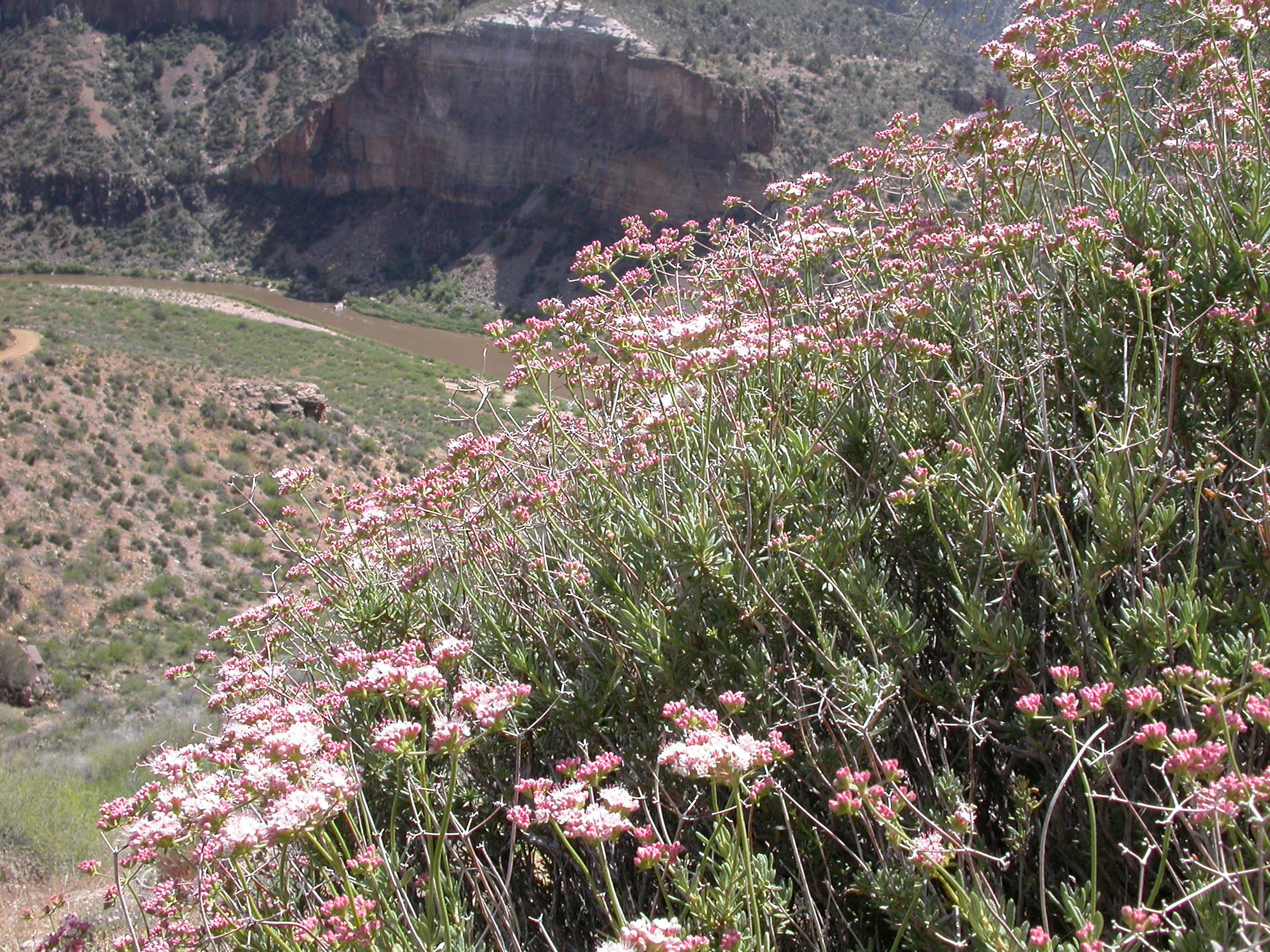
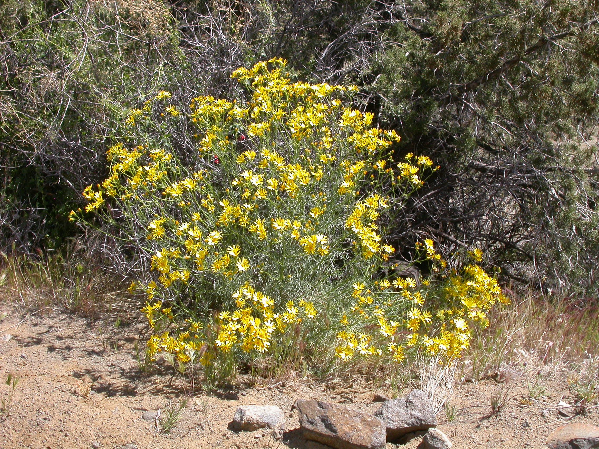
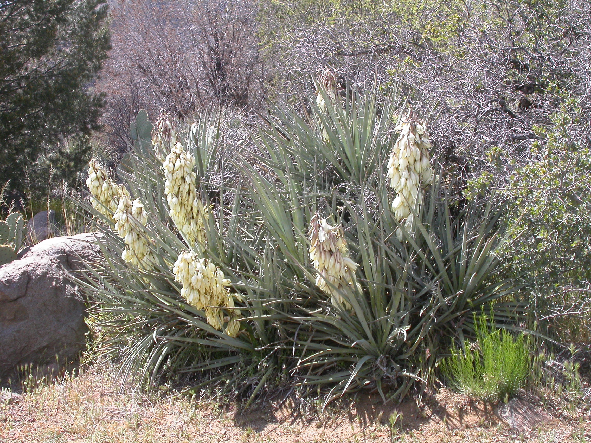
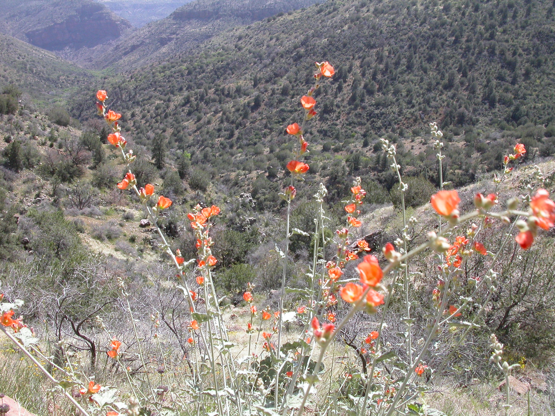
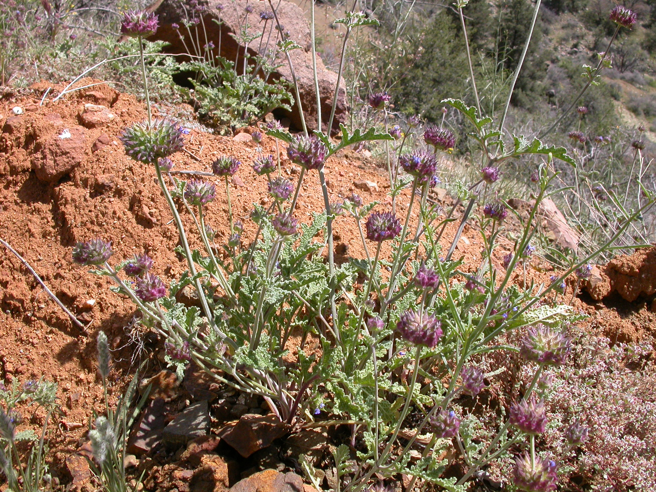
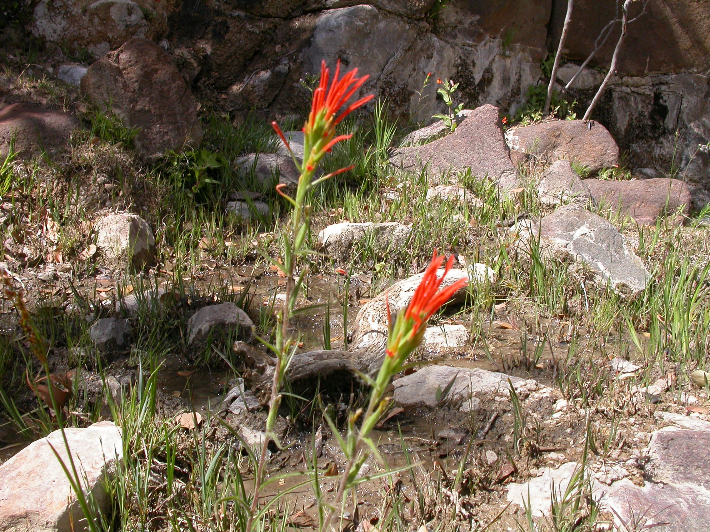
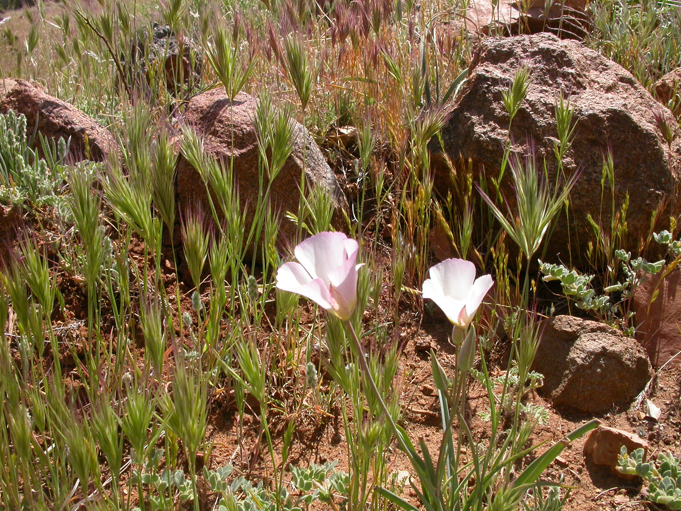
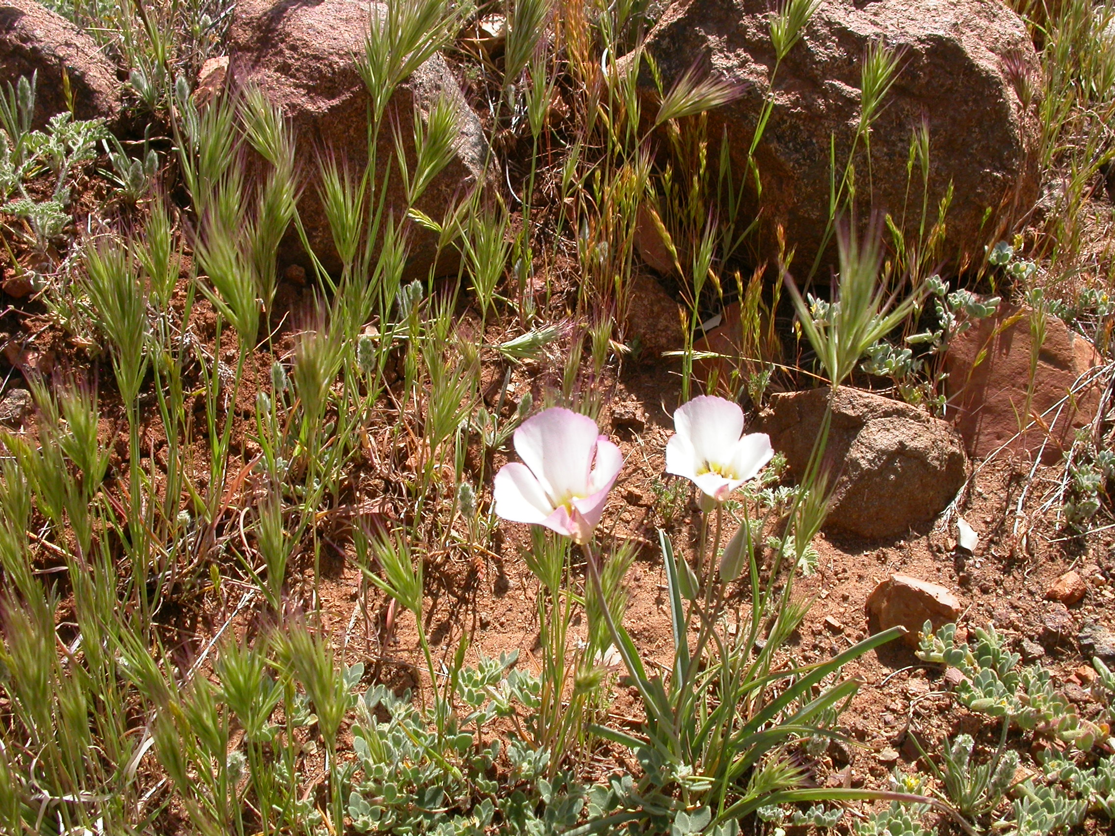
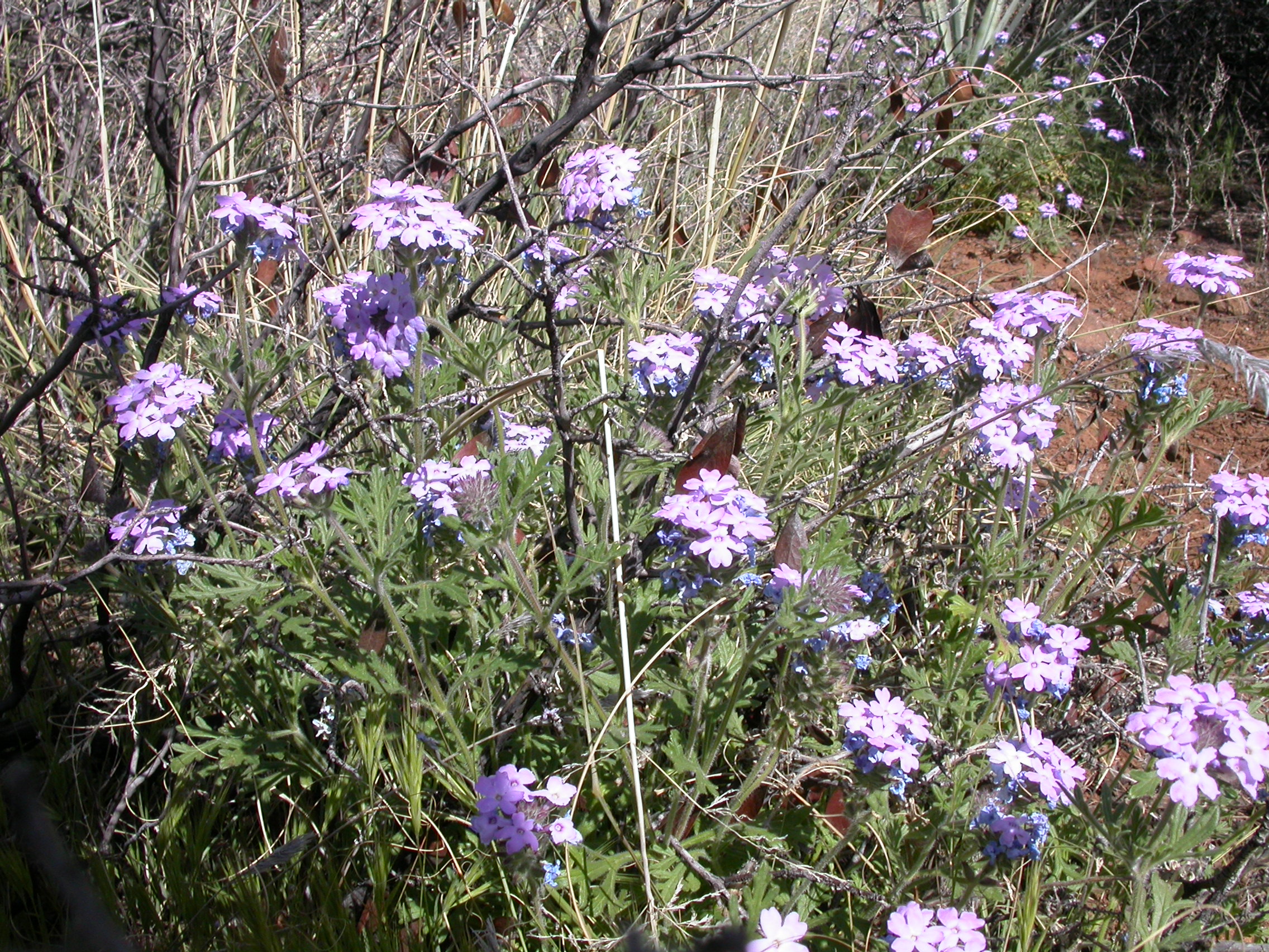
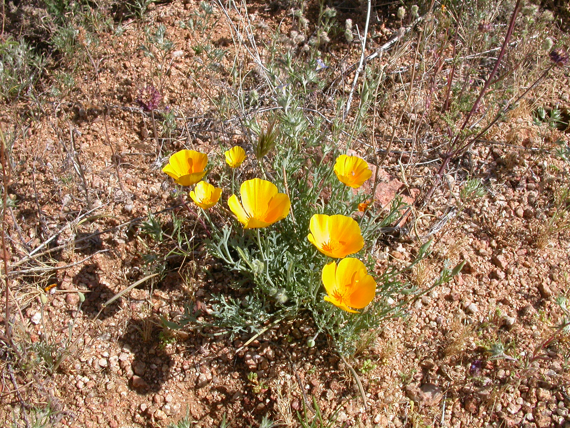
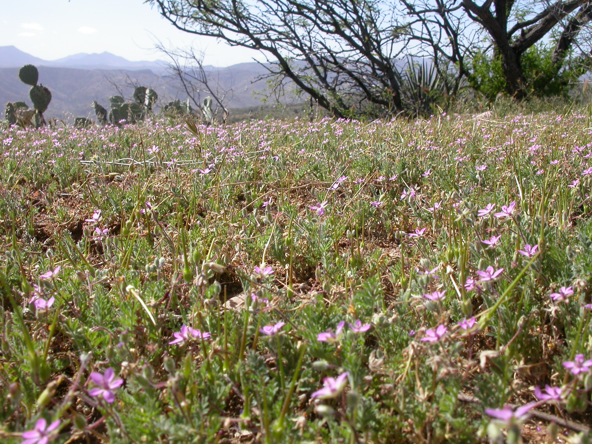
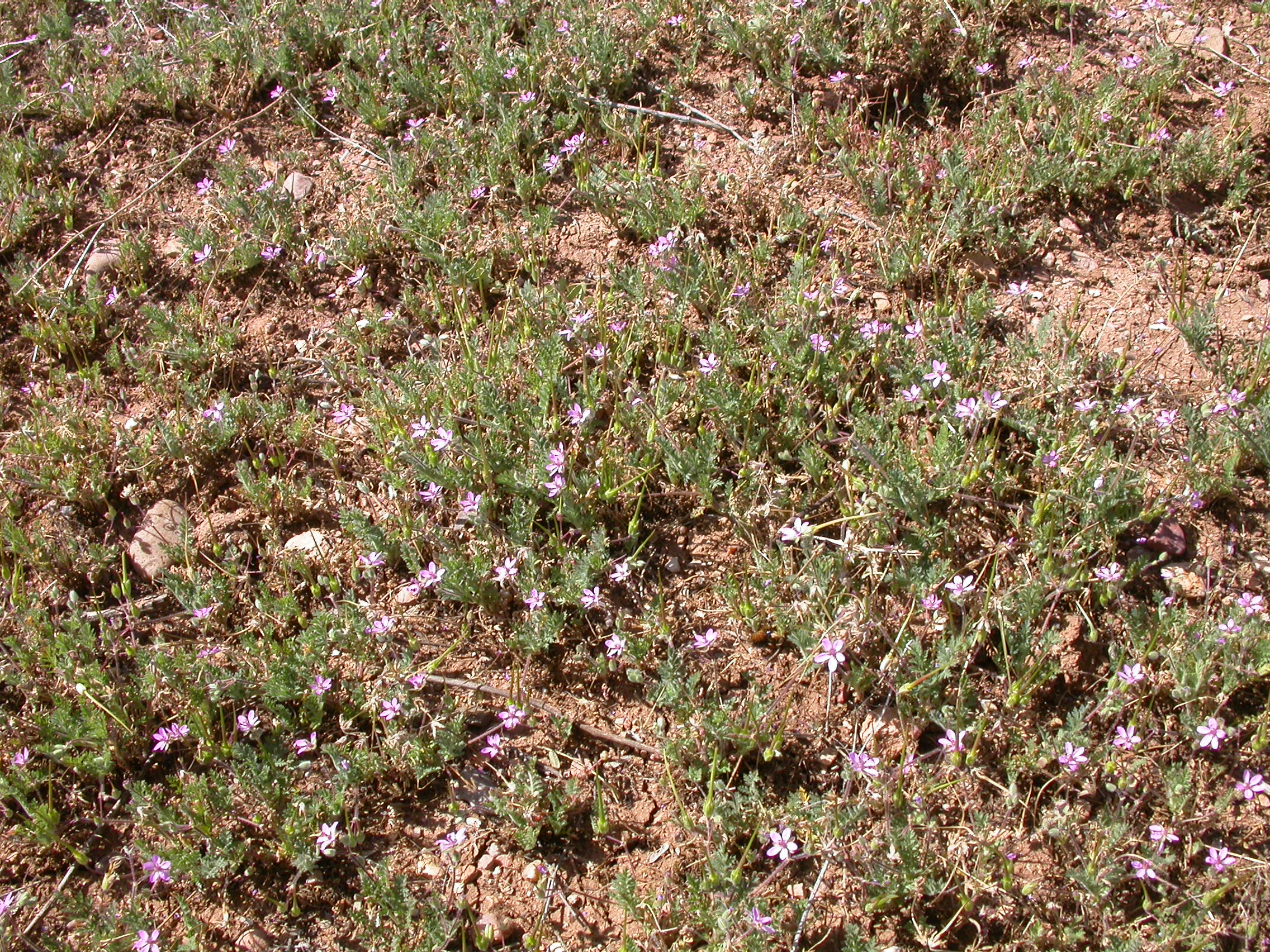
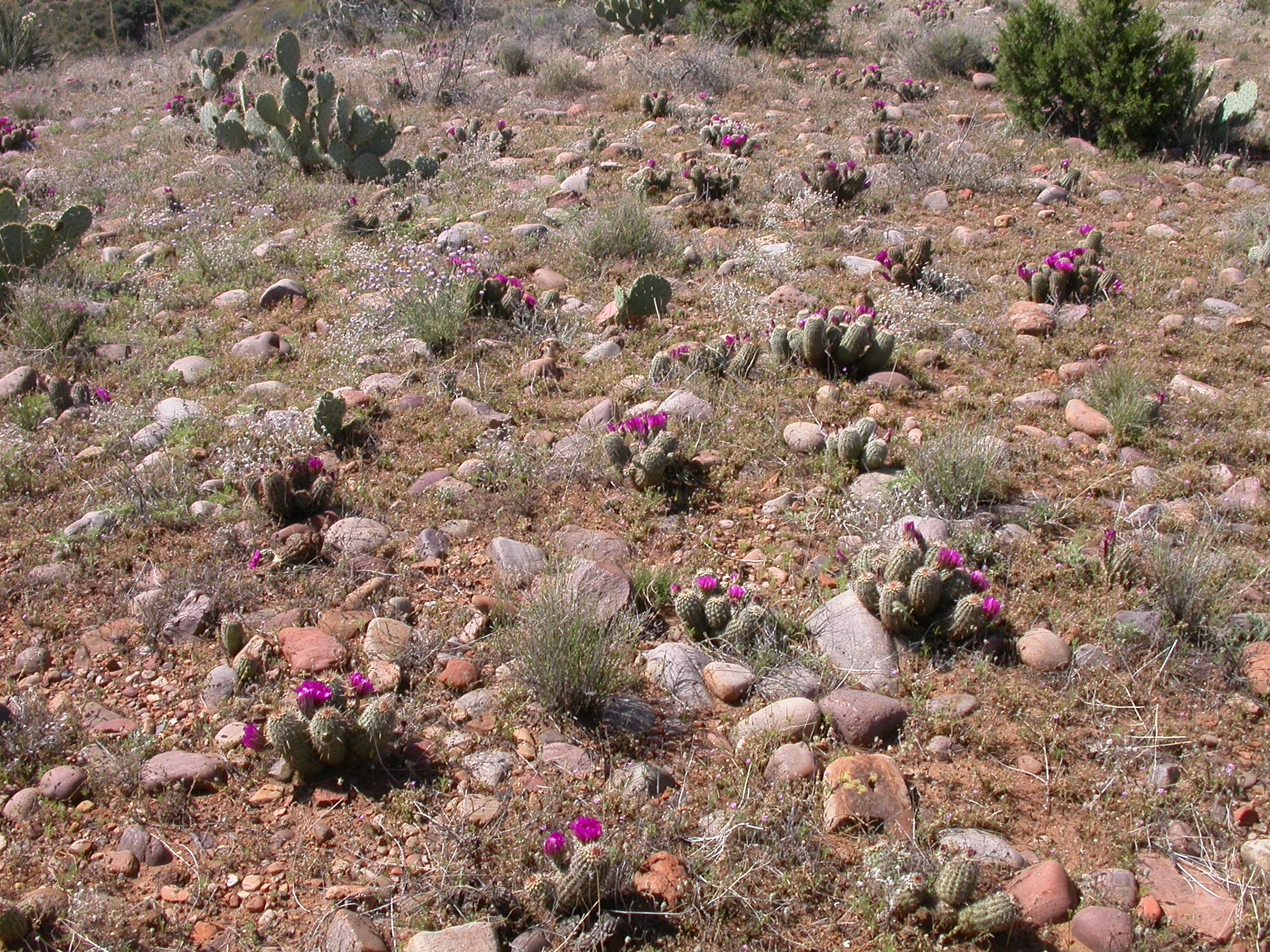
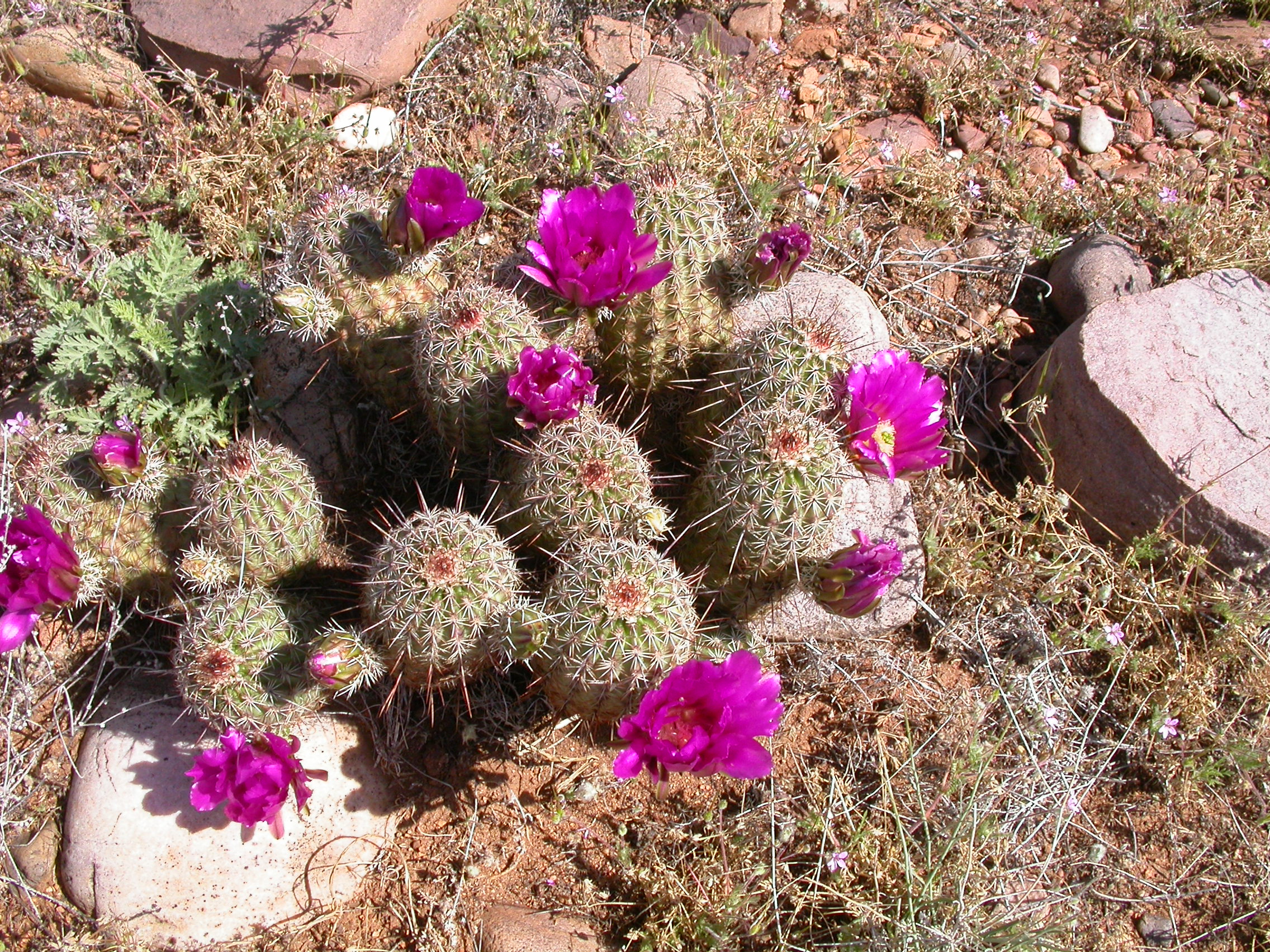
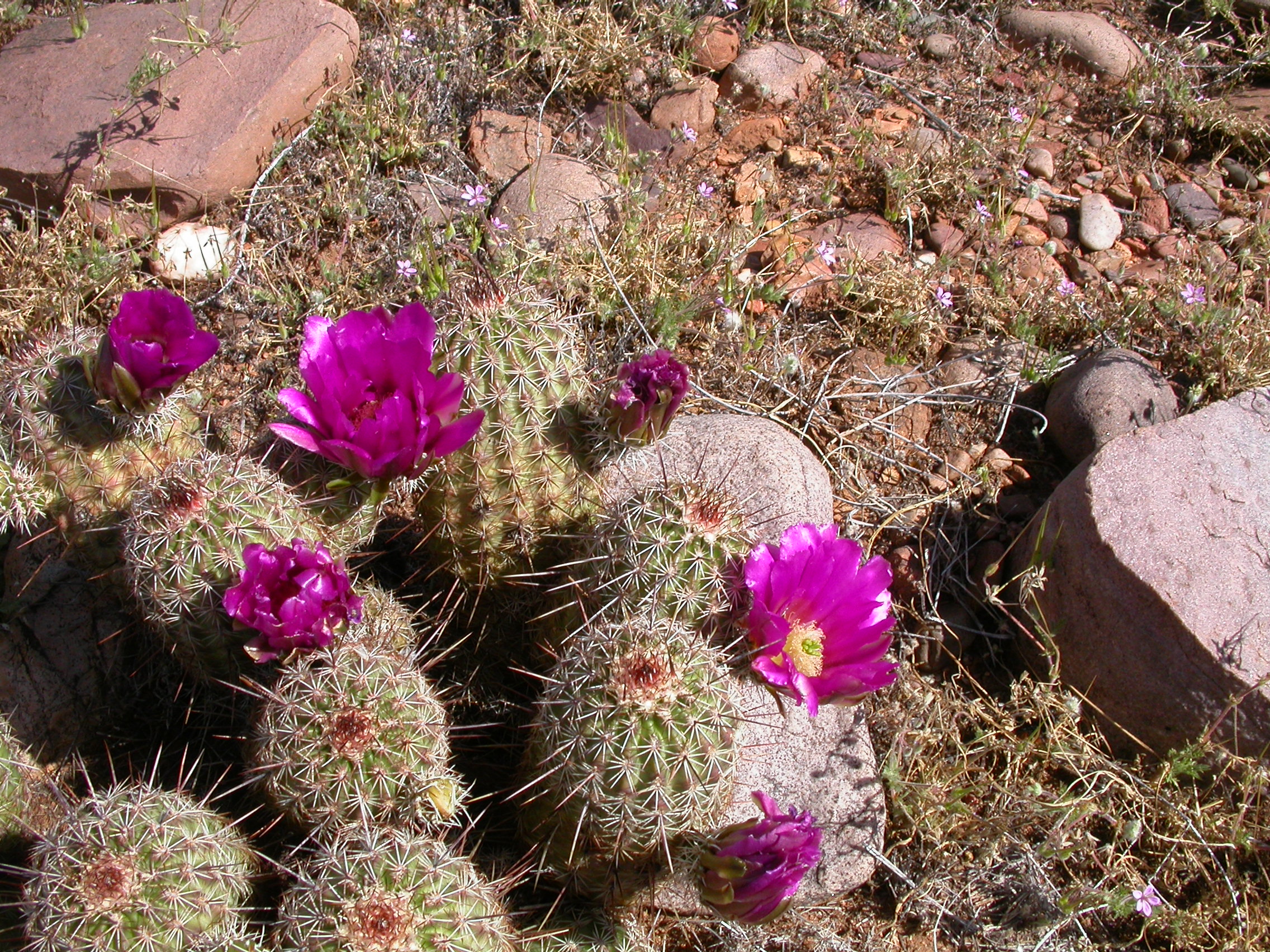
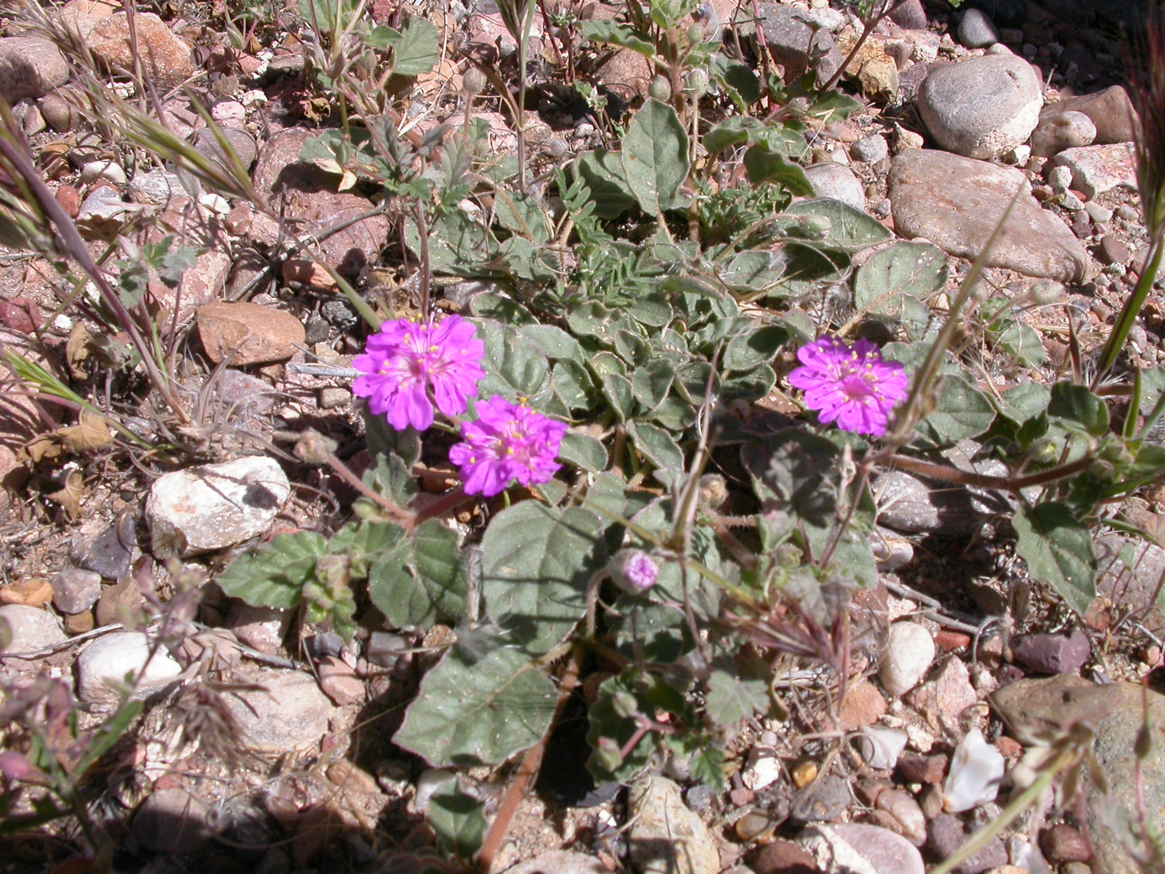
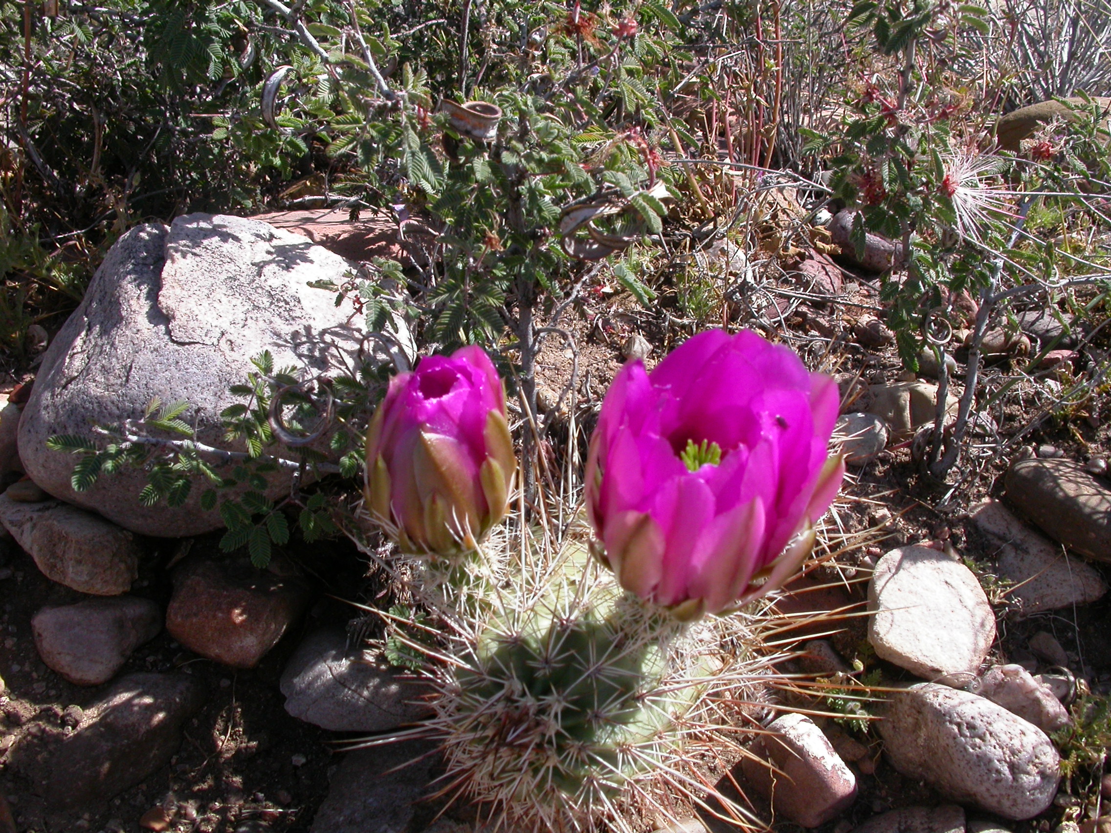
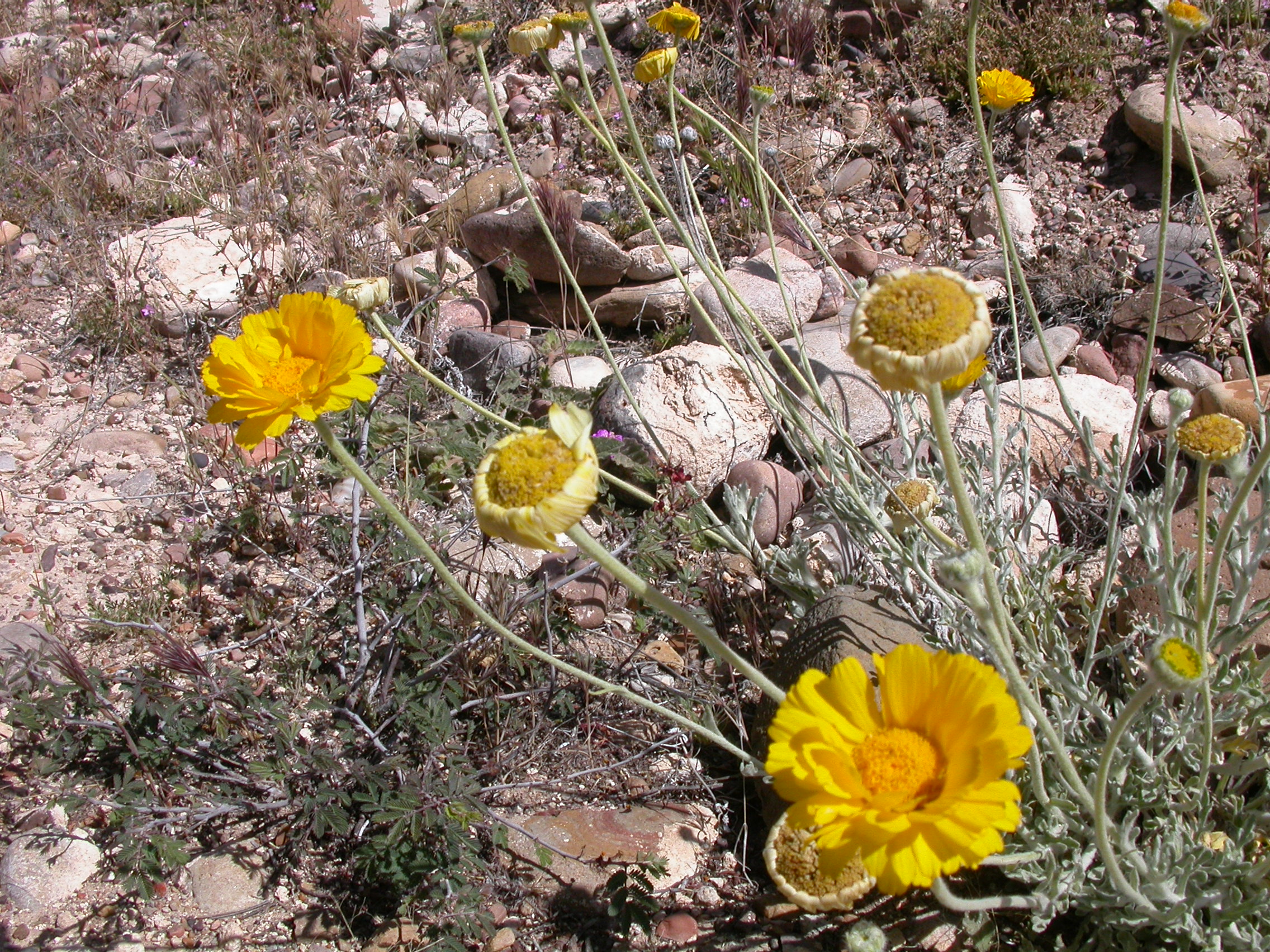
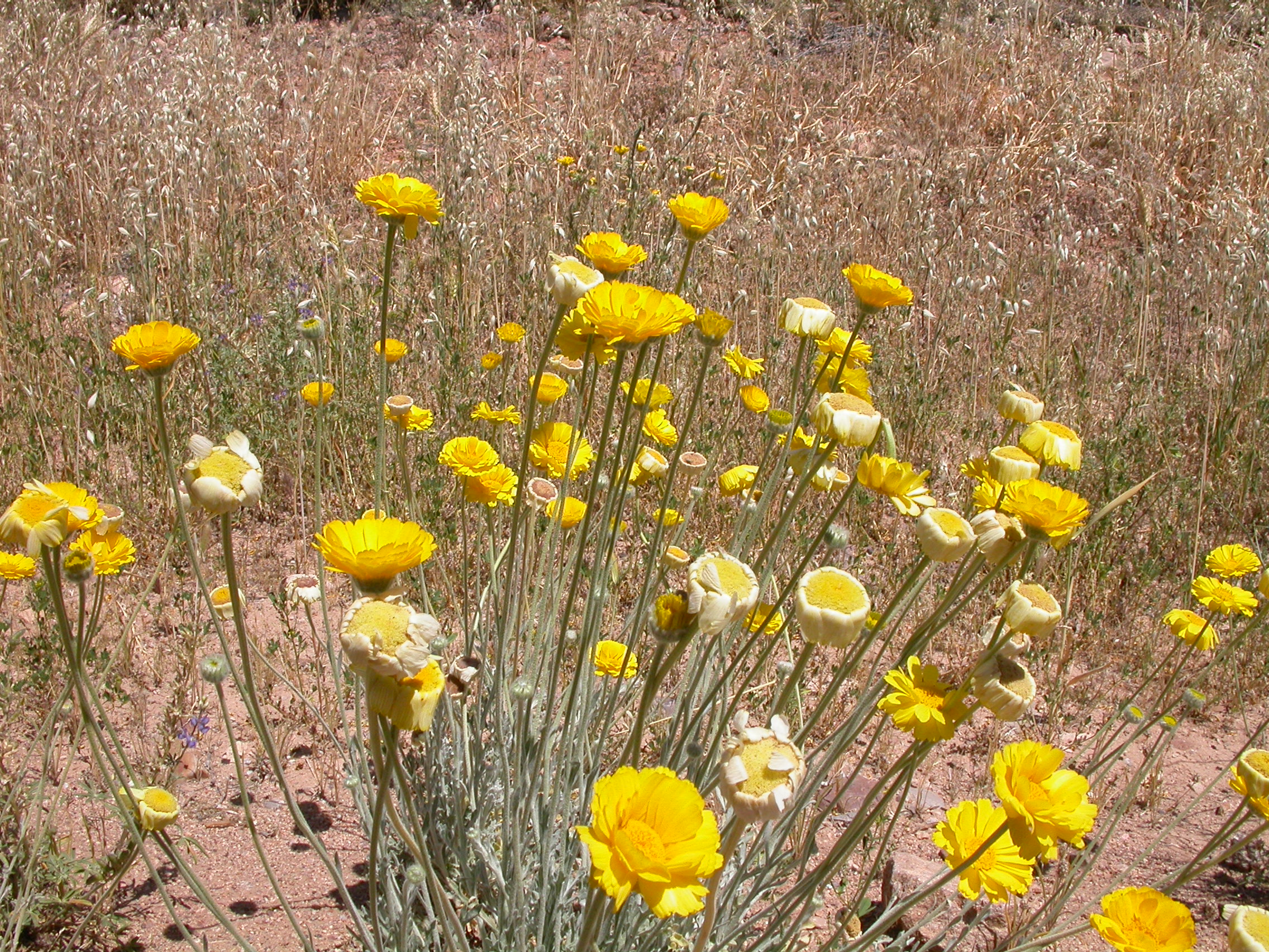
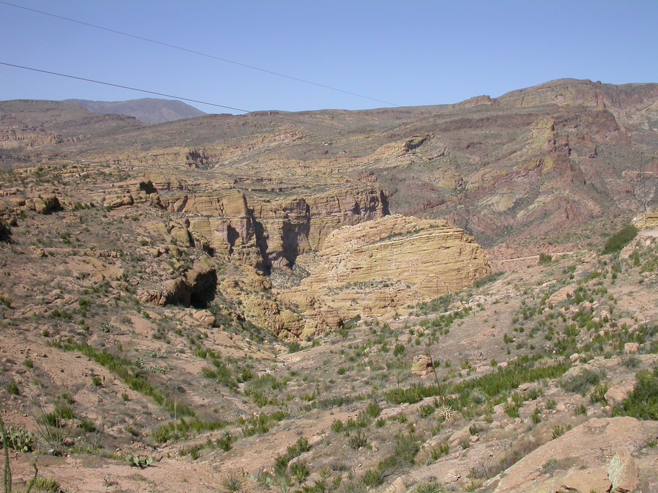
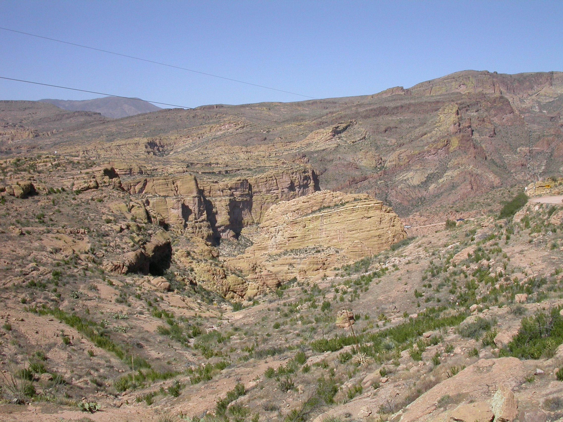
The road had been recently graded, so it was 2WD-high for the whole trip. You need a bit of ground clearance, and there are three water crossings, but a stock 4WD vehicle could easily make it. (Don't try this alone, and don't try it in the rainy season.) The scenery was the expected spectacle and there were lots of nice wildflowers. See the pictures below. While we were tempted to match Gonzo's award-winning efforts in the Gila River last year, the Salt River was running high and we wisely did not try to cross it.
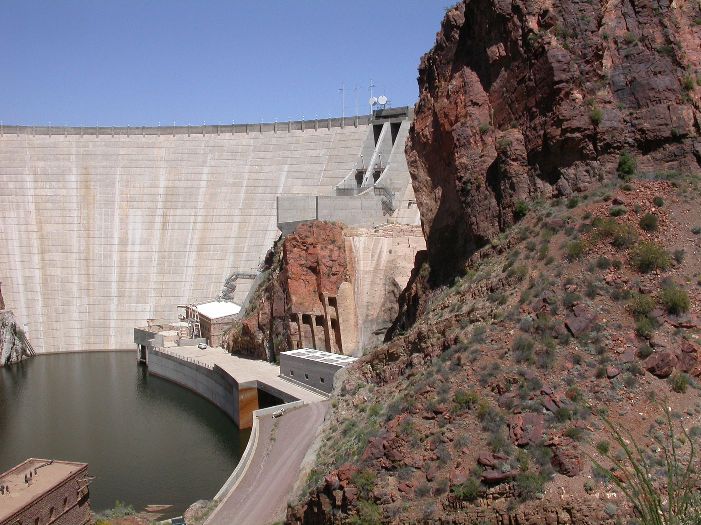
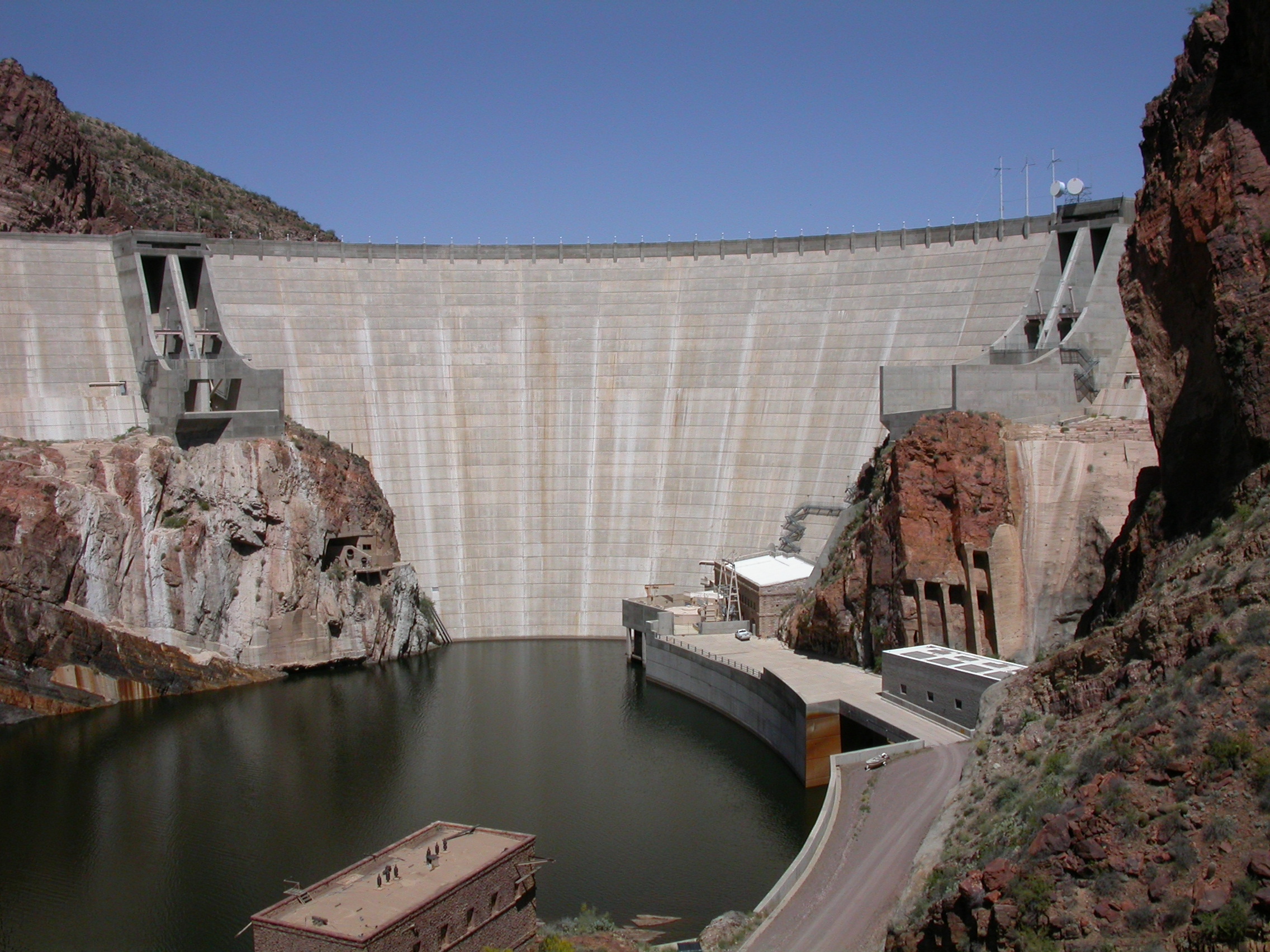
We continued the trip past Roosevelt Dam taking the Apache Trail over to Apache Junction. This road is also quite scenic, but it would be a lot more fun on a weekday when the traffic is lighter.
.
.
.
.

.

.

.
.
.
.
.
.
.
.
.

.
.
.
.
.
.
.
.
.
.
.

.
.
.
.

.
.

.
.
.
.
.
.
.
.
.

.
.
.
.
.
.
.

.
.
.

.
.
.
.
.
.
.
.
.
.
.
.
.
.

.
.
.
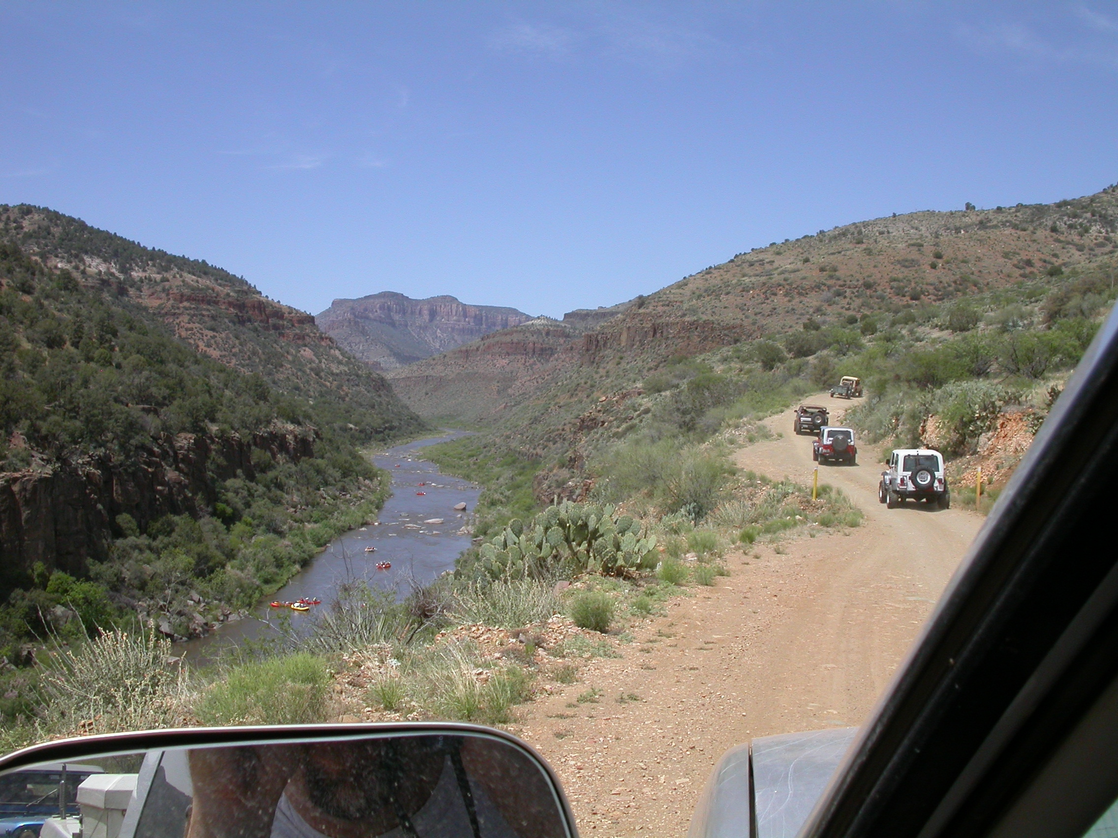
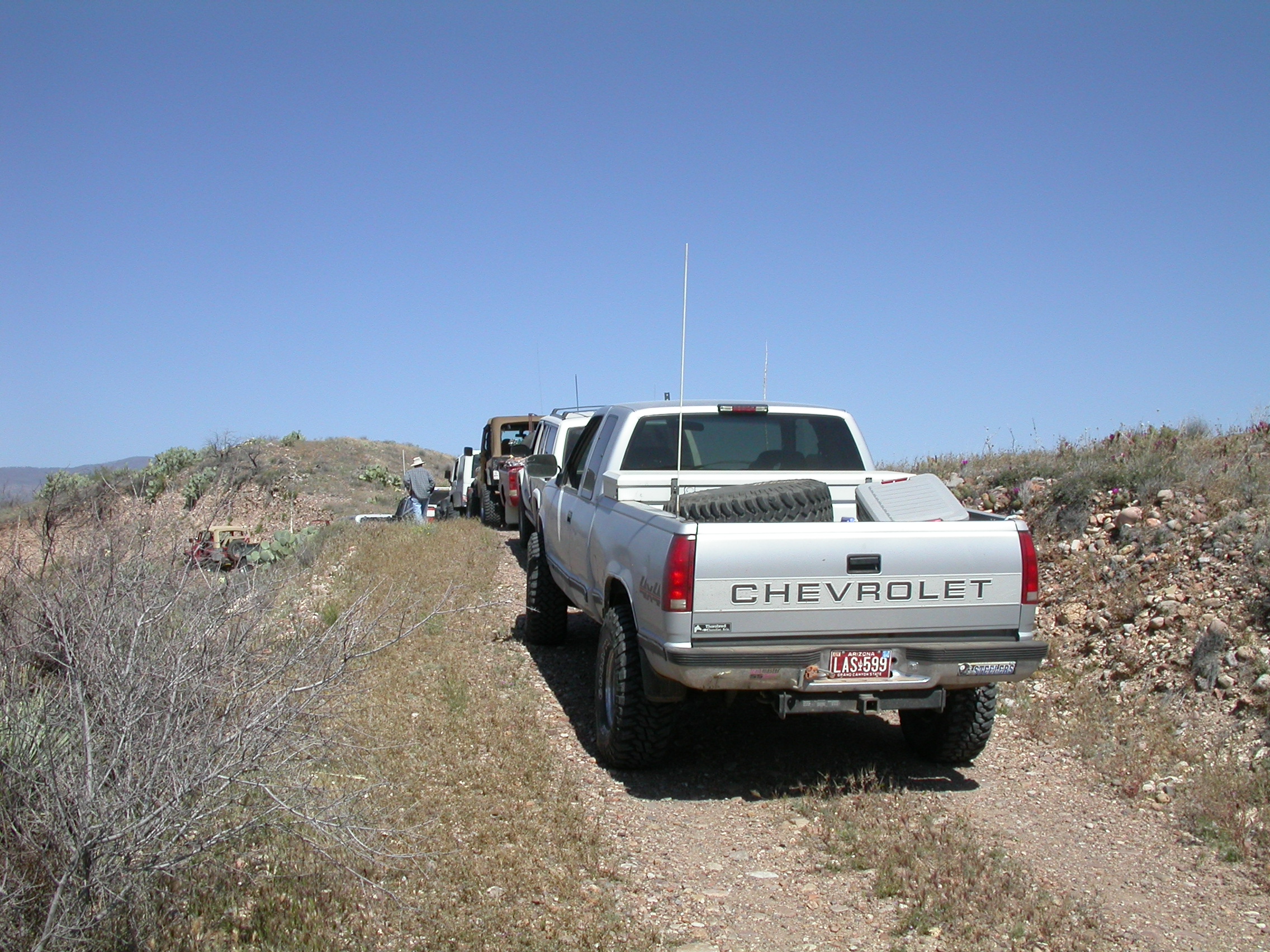
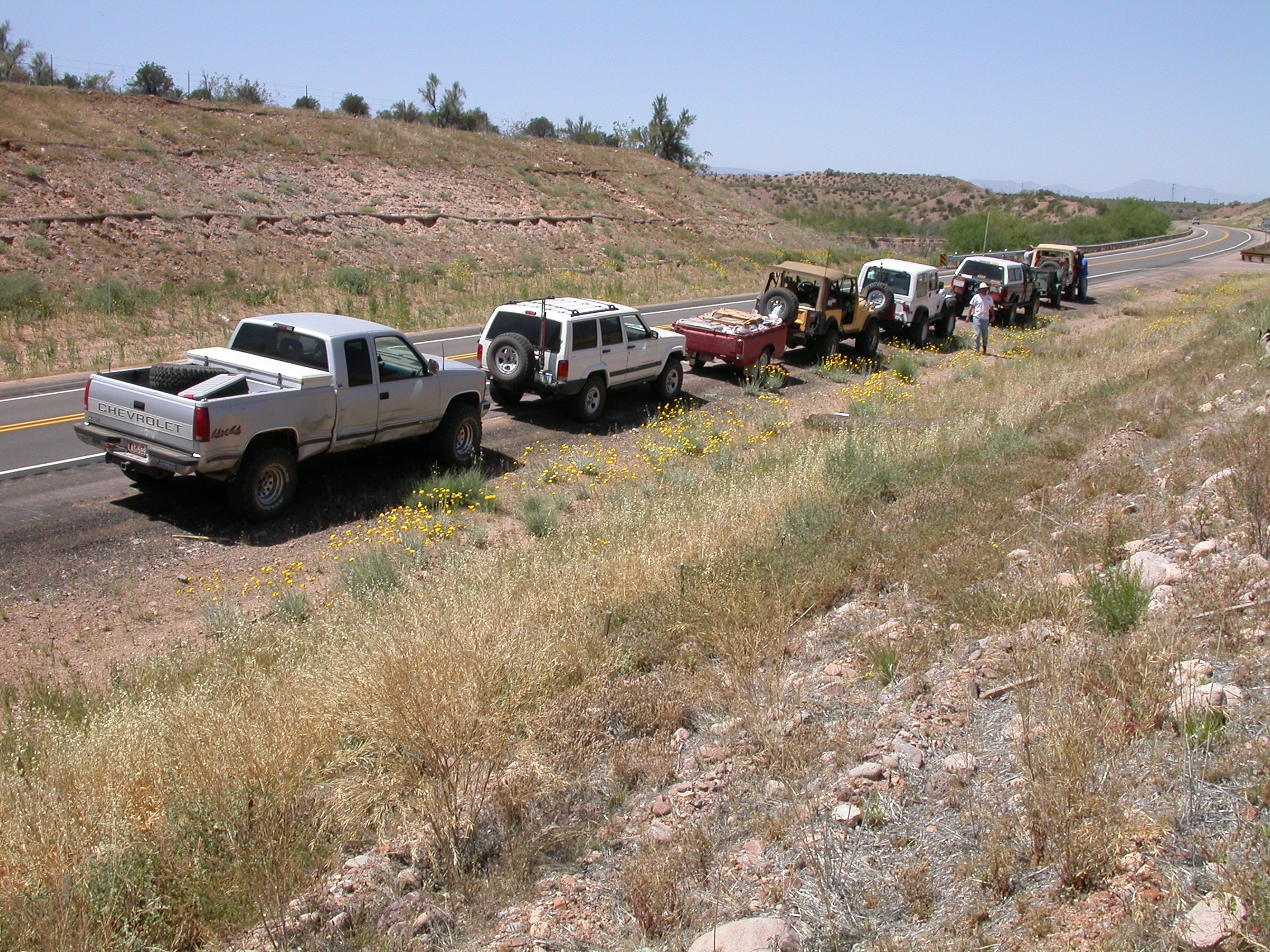
Here's the trip report from the wheelin' trip on Saturday August 3, 1996. You armchair 4-wheelers missed a fabulous trip this time. John Hill in "The River ...", Bob and Robby Peterson in "Willy" and John Waack in "Over Easy" with doors from "Sami II" were the participants in this adventure. We met at Claire's Cafe in Catalina (just North of the Circle K in Catalina on the East side of AZ 77) at 8:15 for breakfast. We departed from Catalina about 9:20. Wheelin' is always enhanced by a stomach full of green chili and cheese omelet and biscuits, especially when there is some driving before you get to the rough trails. The plan was to try an exploratory run on a trail from the Salt River Canyon bridge, north of Globe, to Roosevelt Lake.
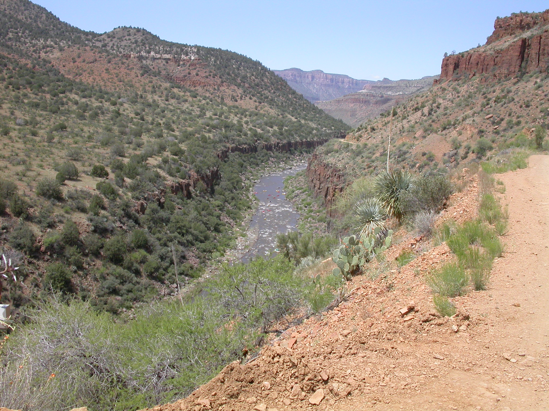
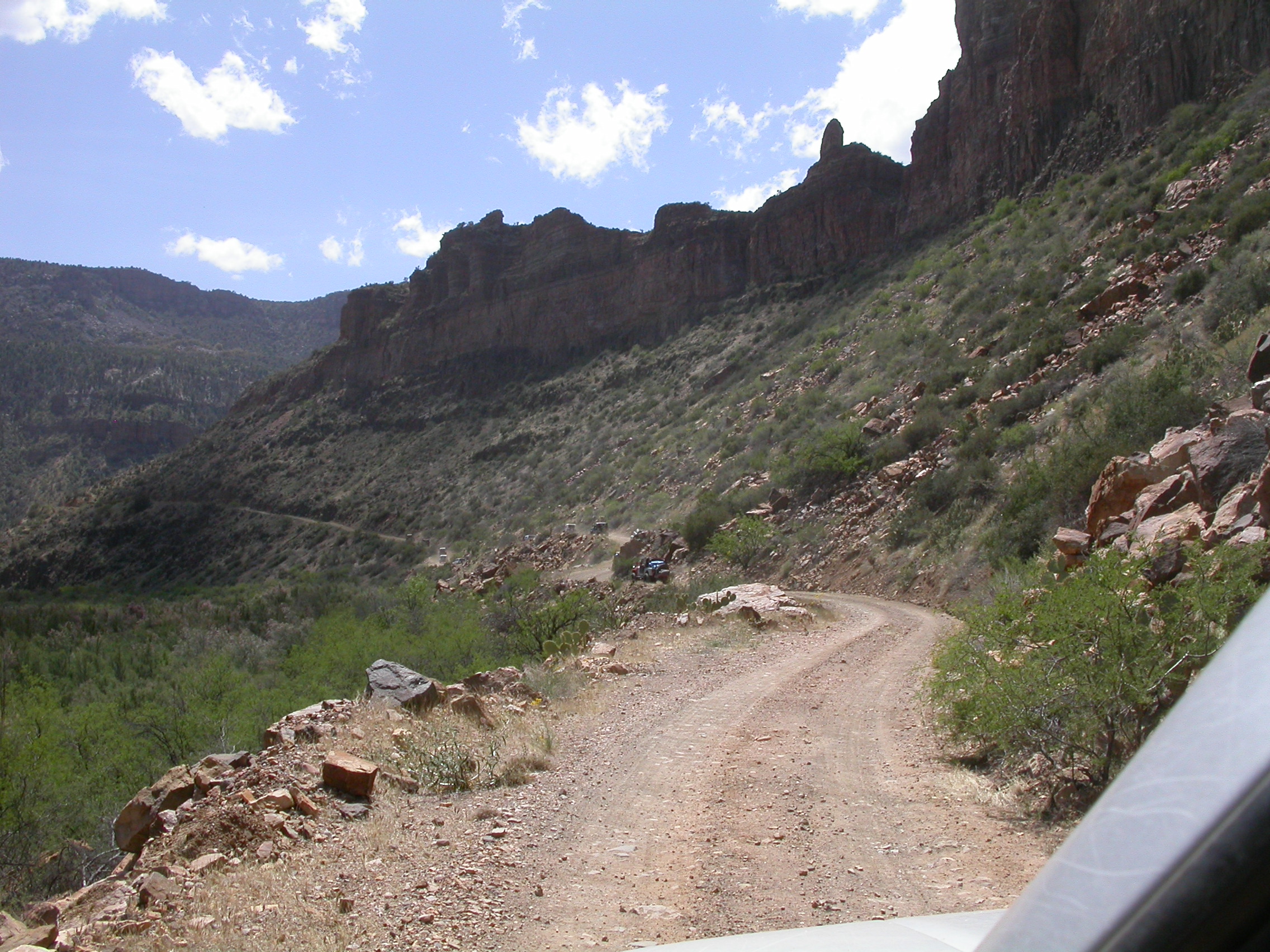
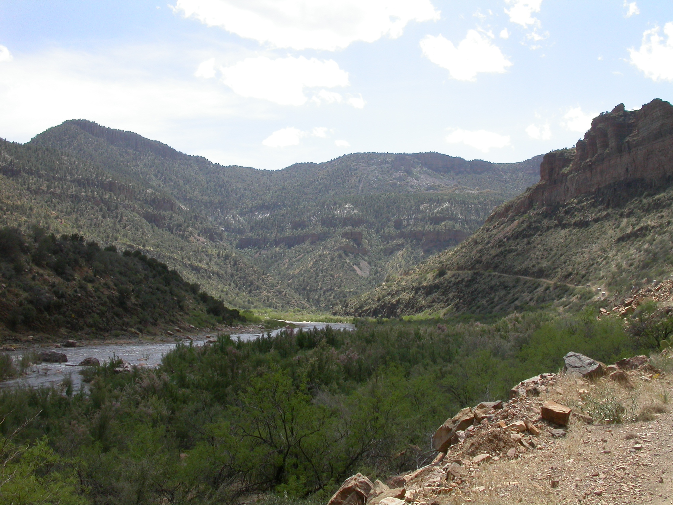
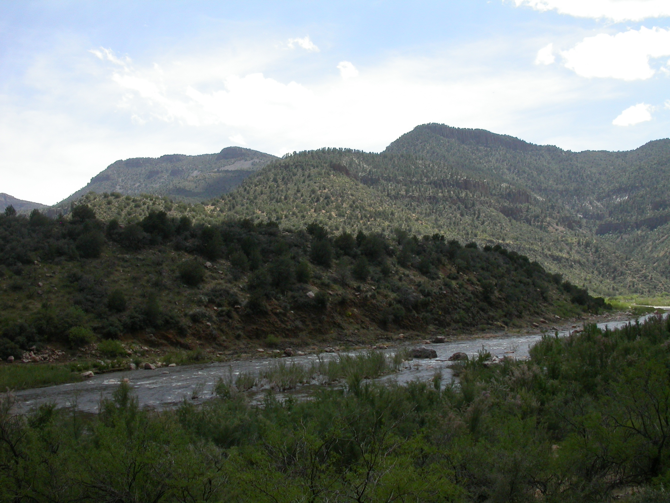
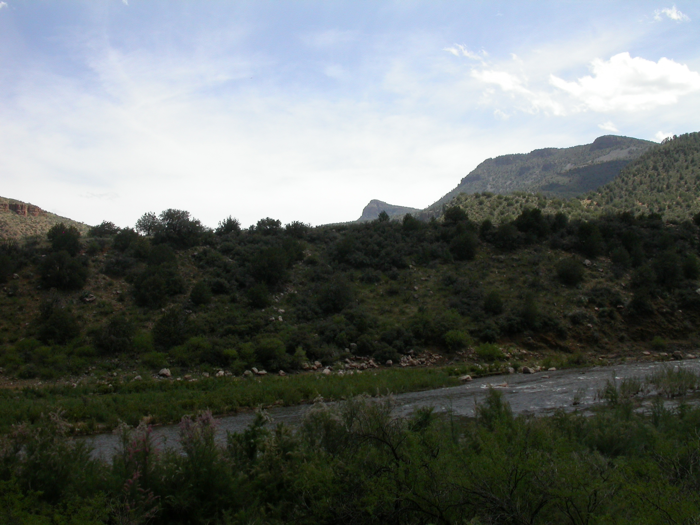
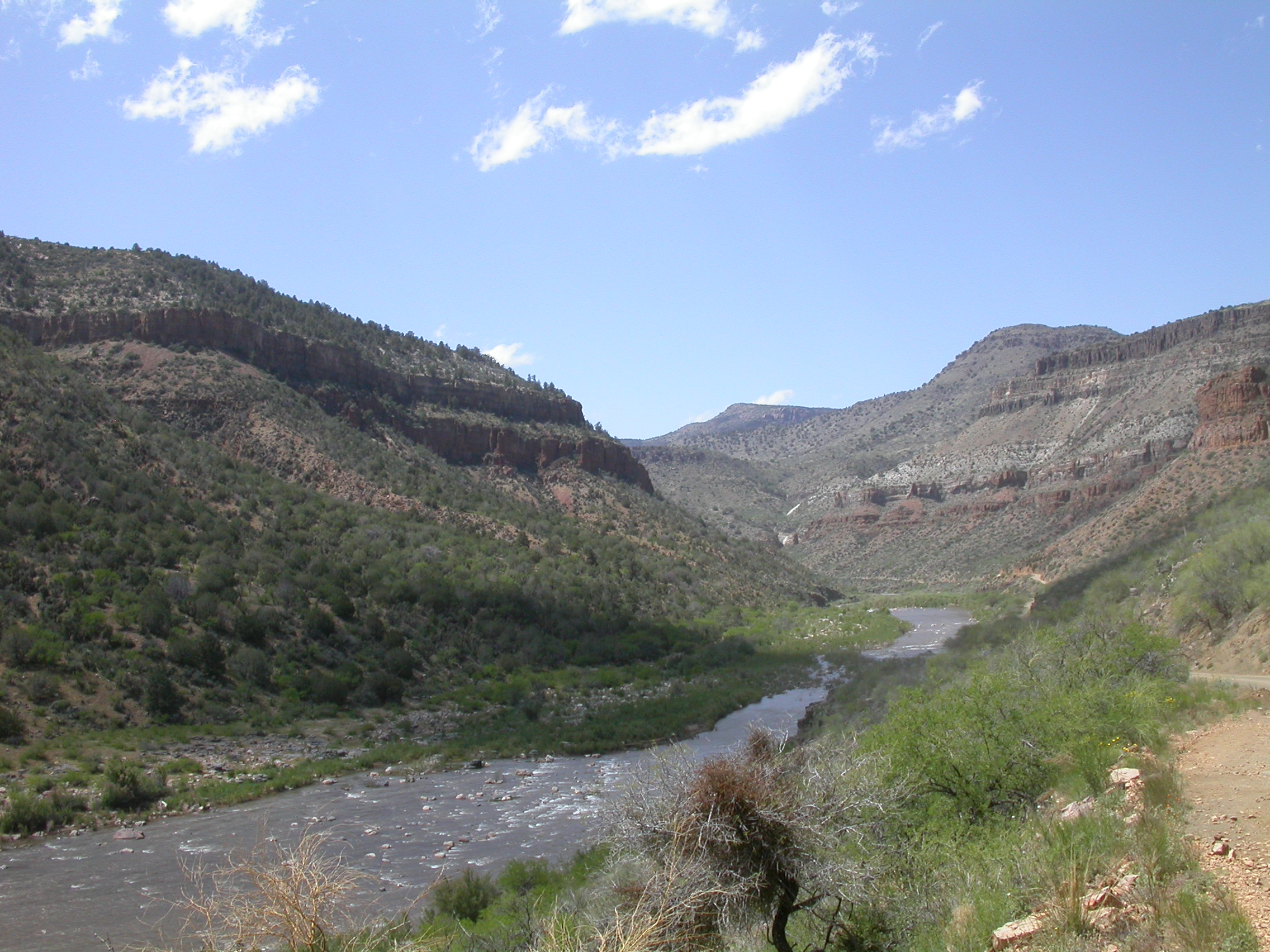
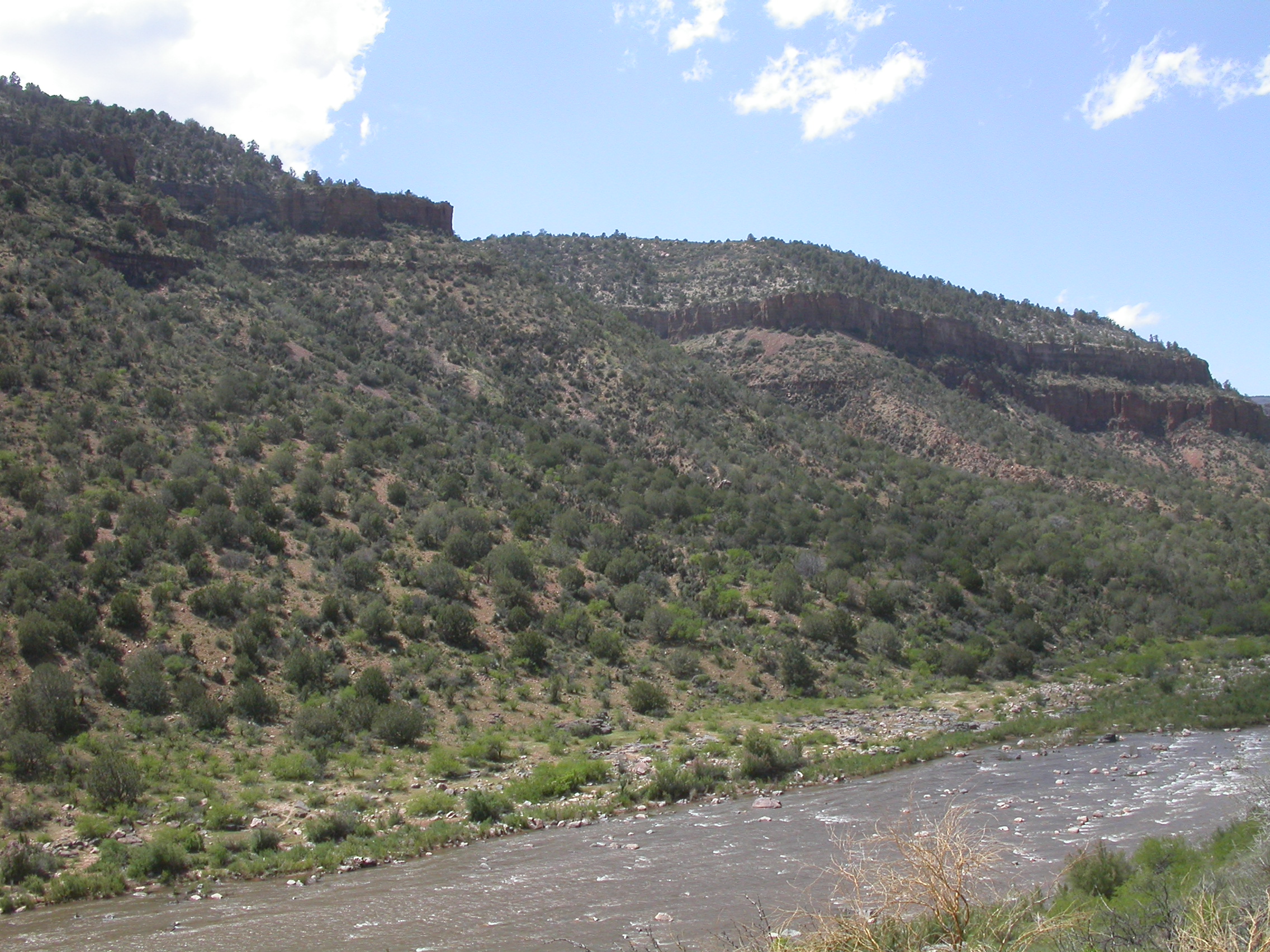
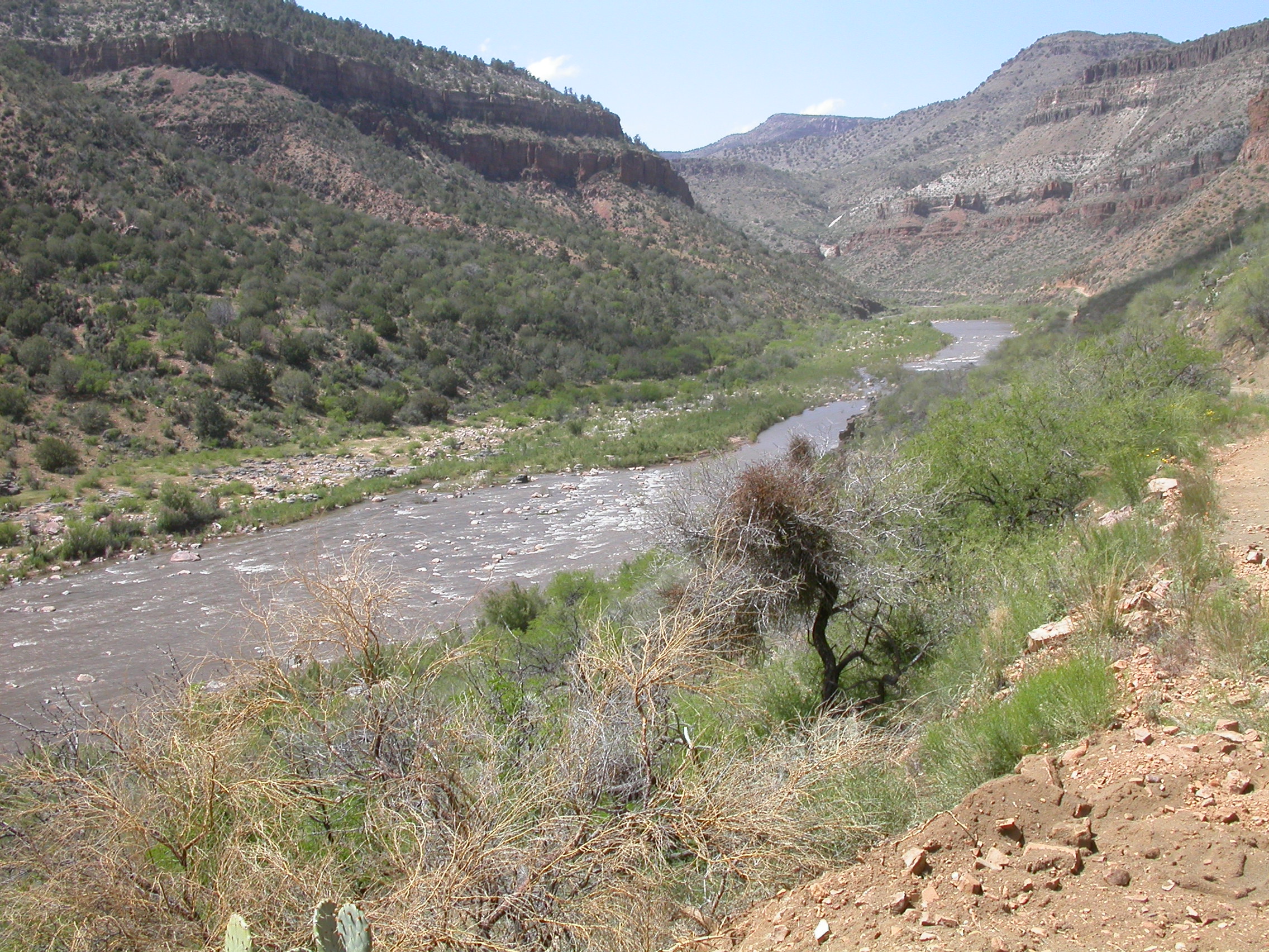
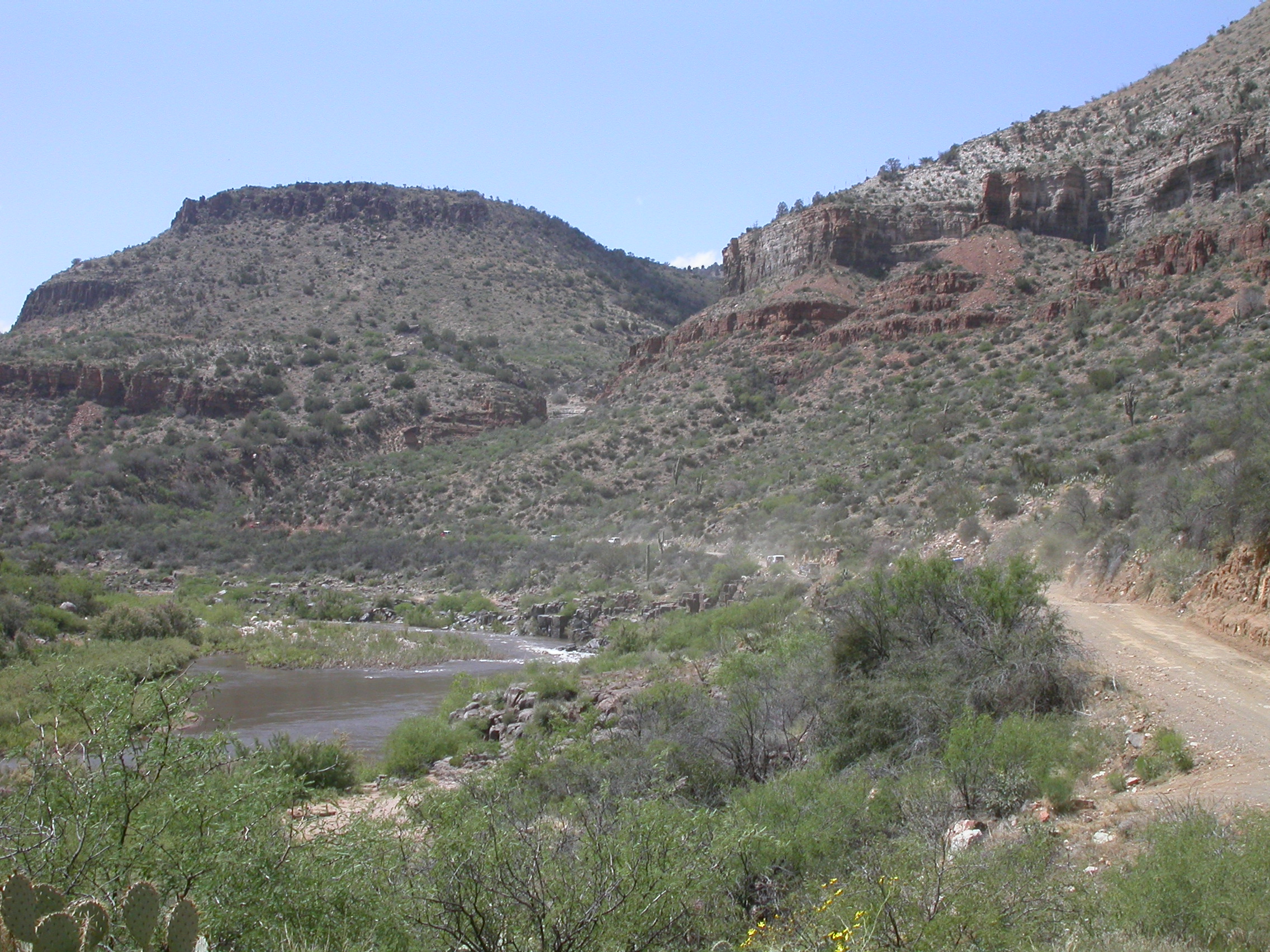
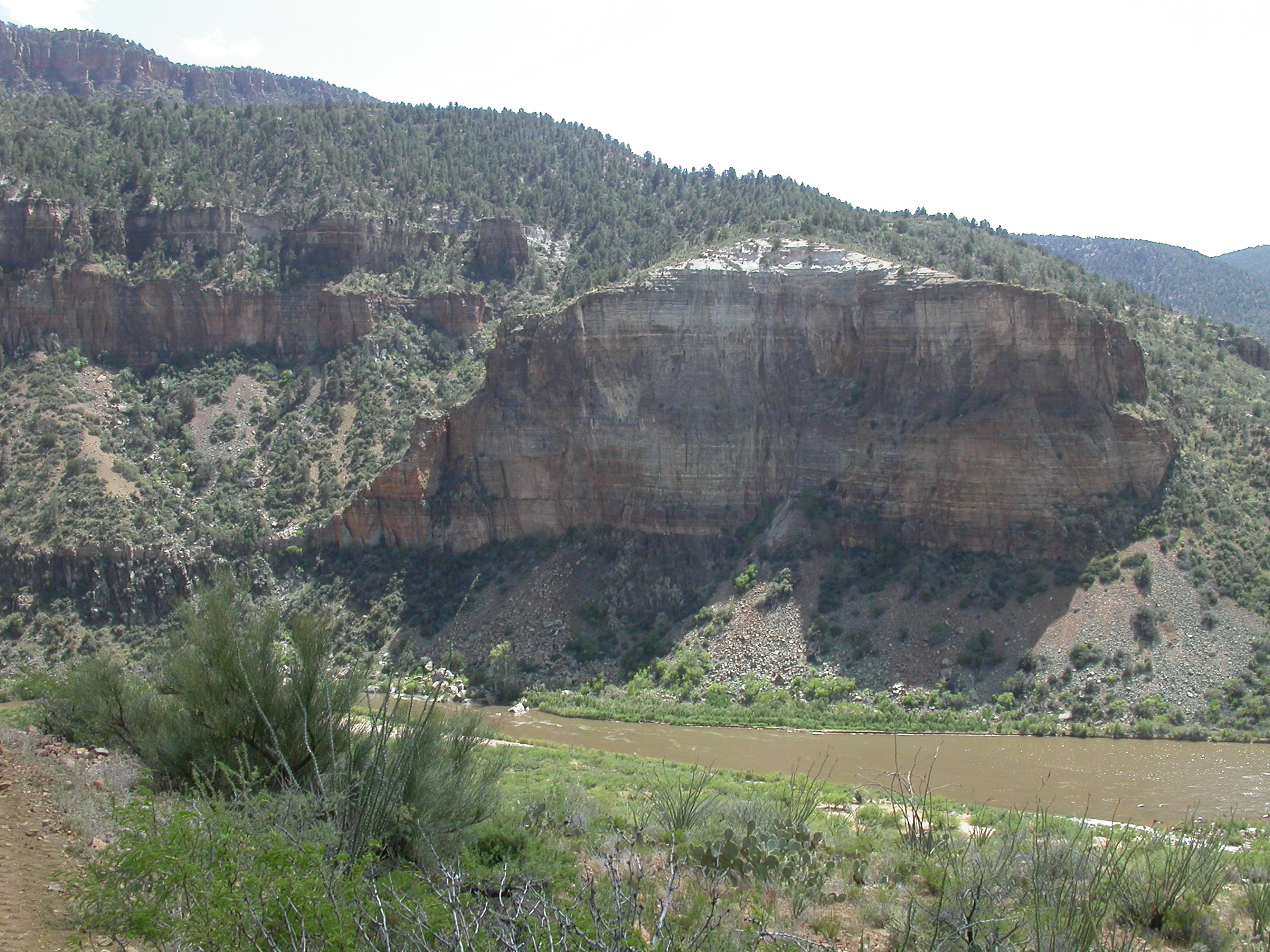
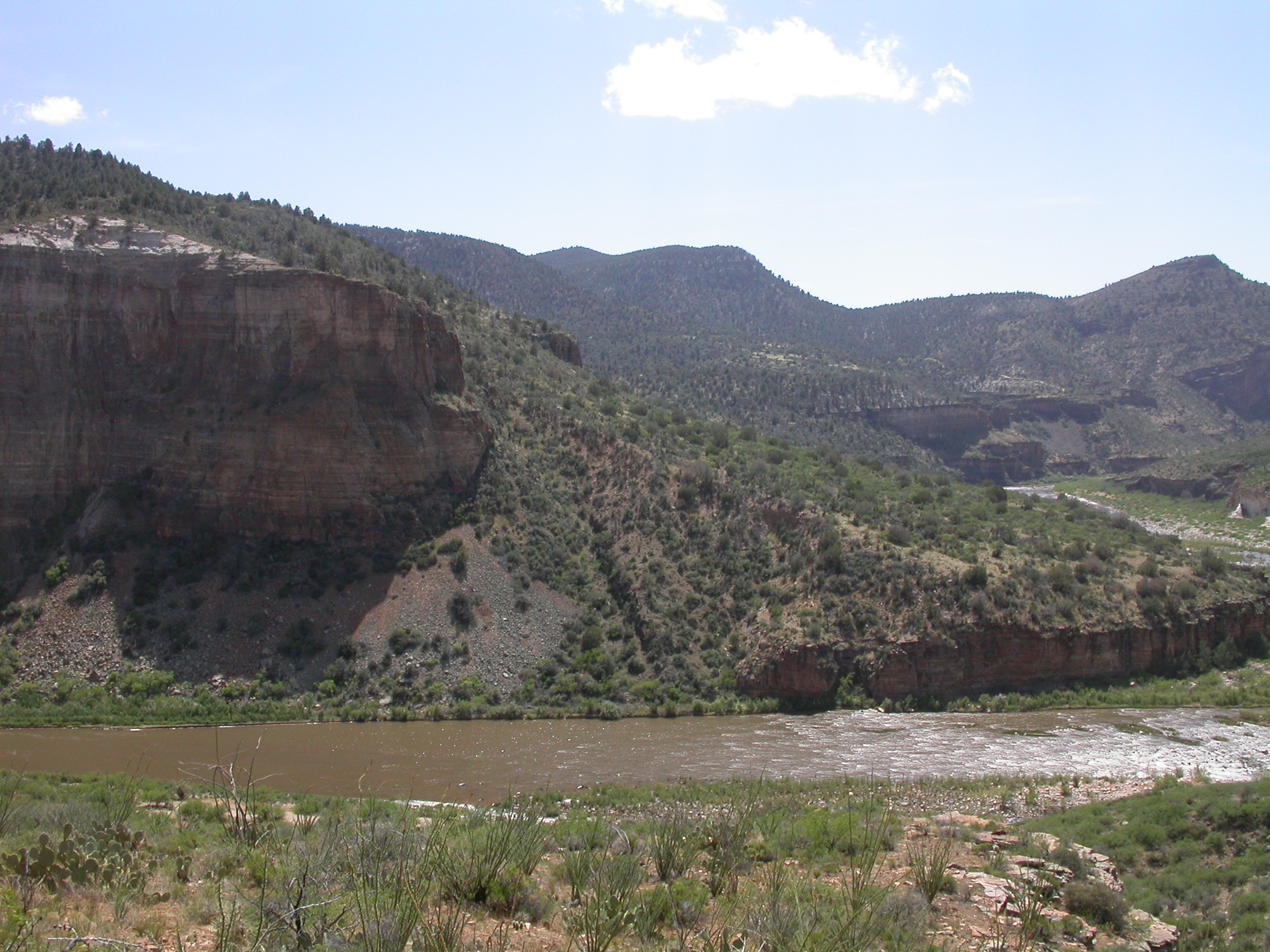
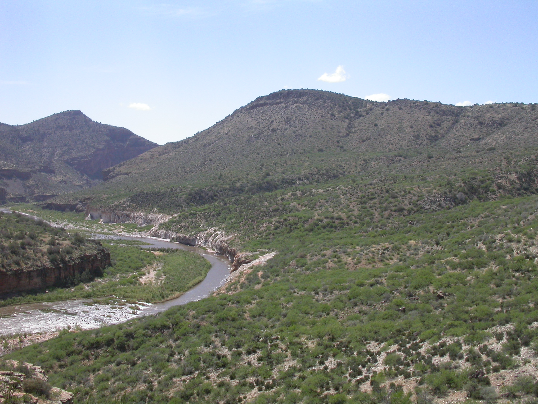
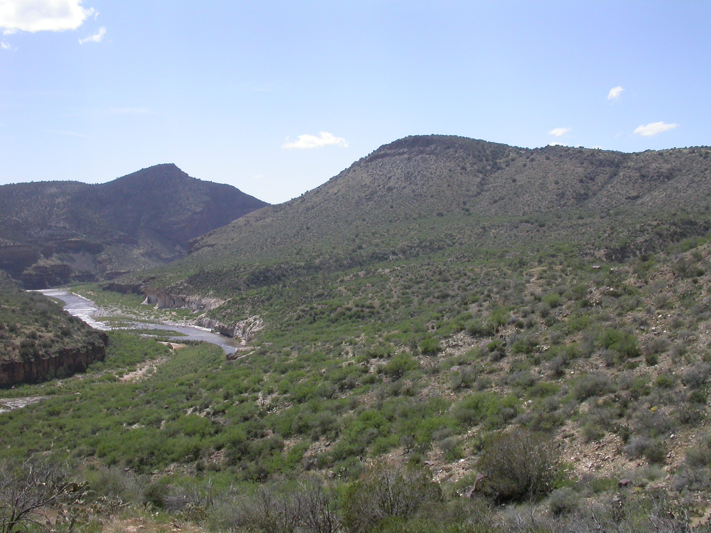
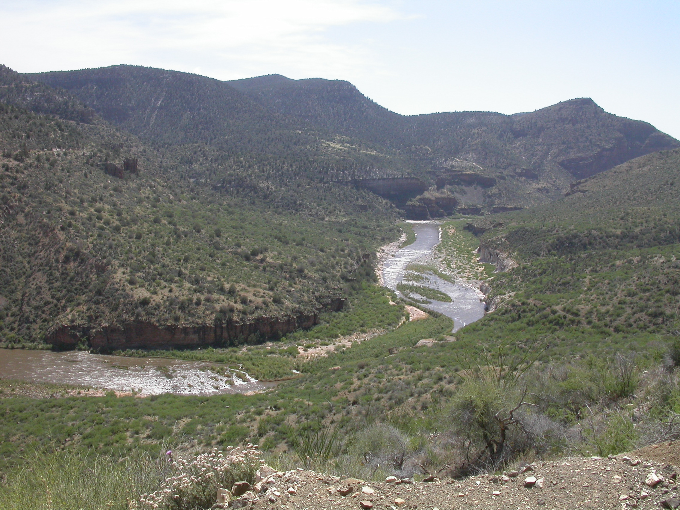
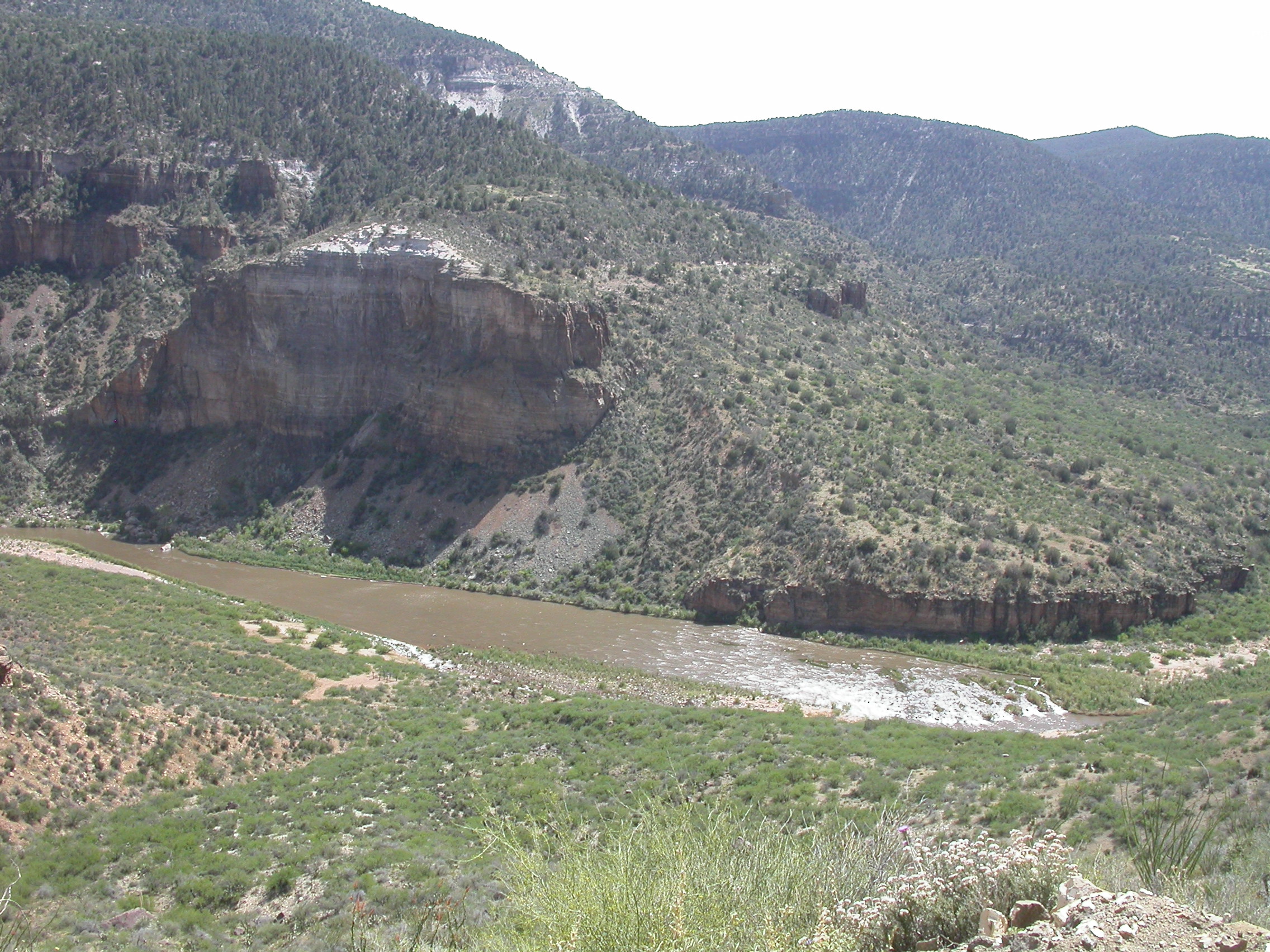
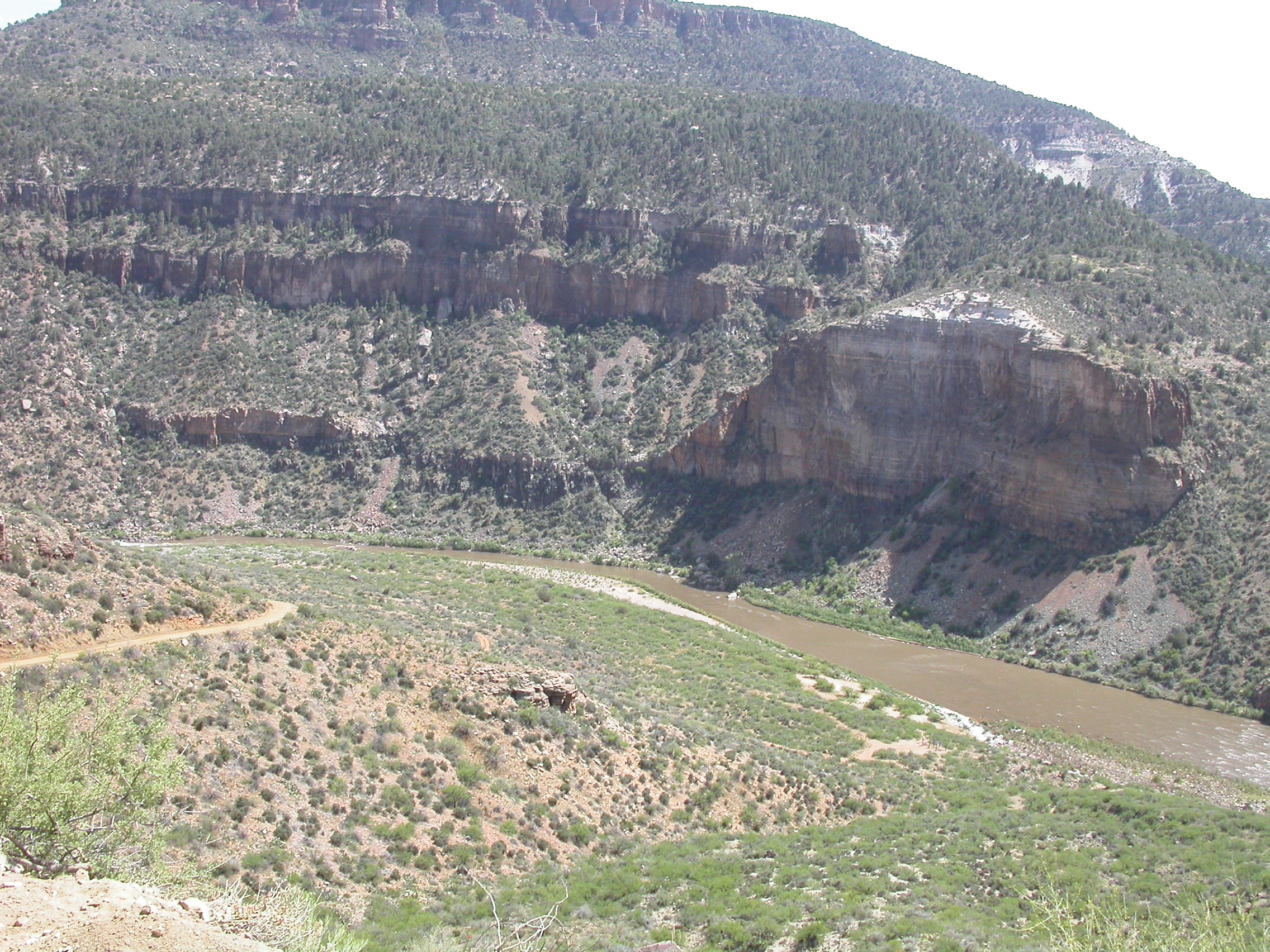
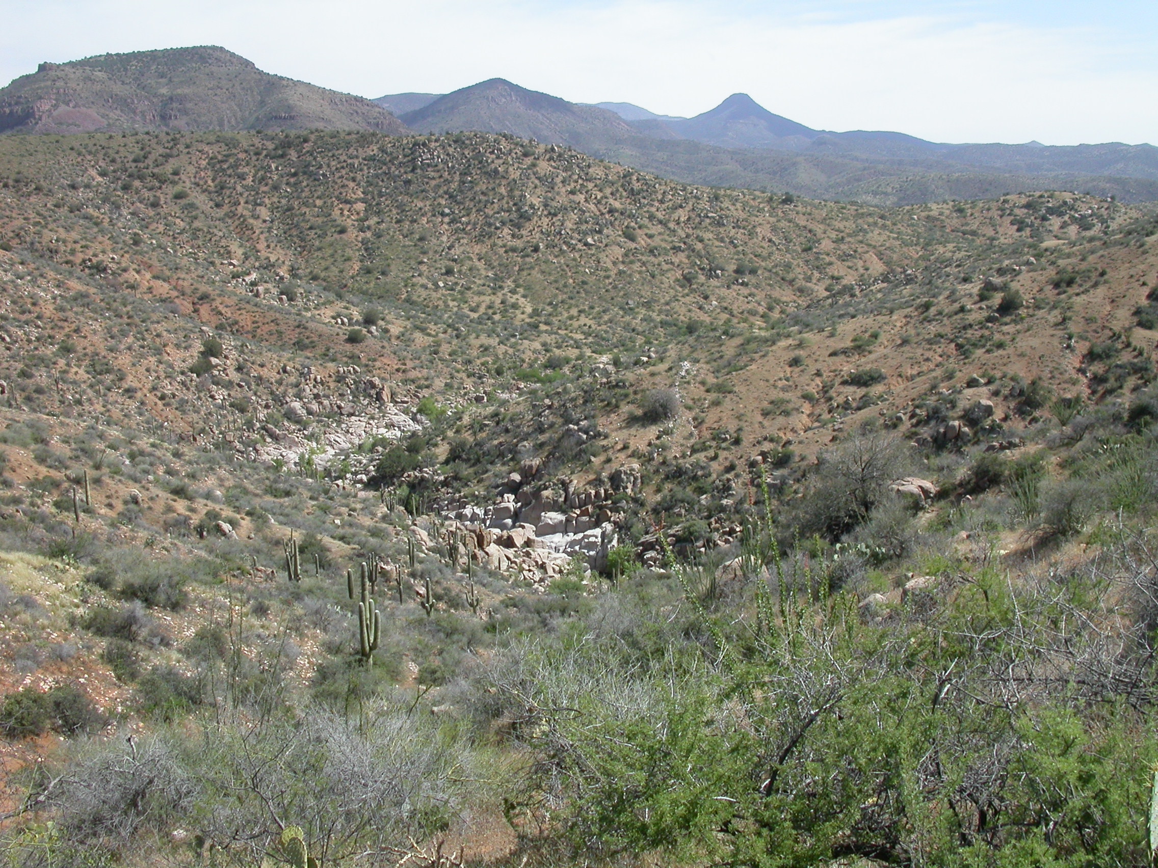
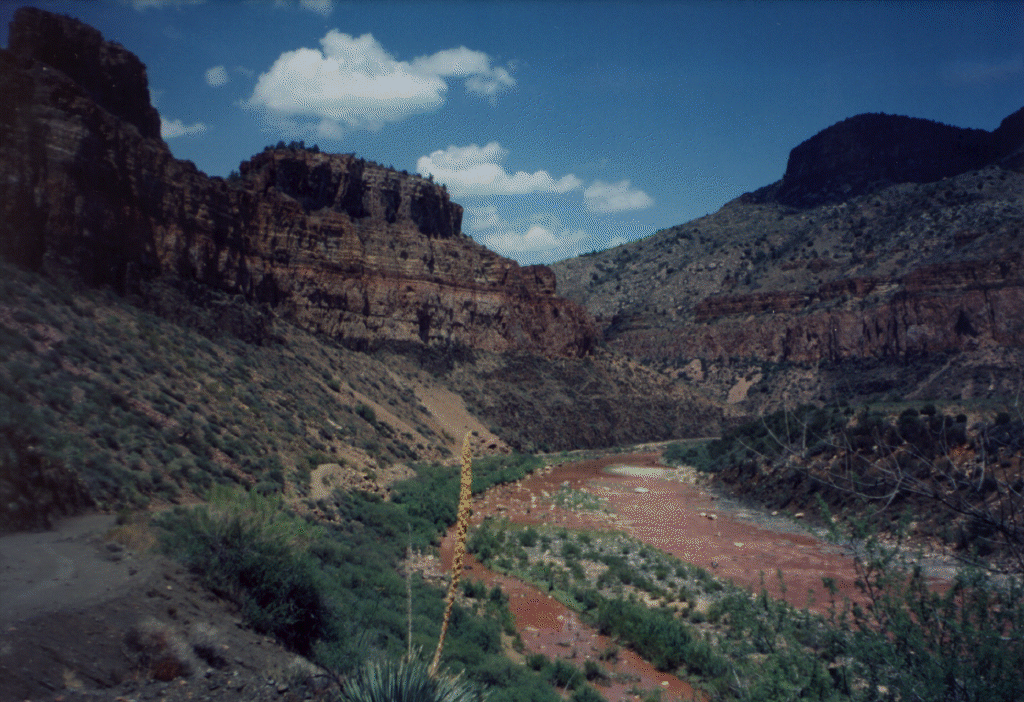
We drove to Globe, topped up our gas and bought White Mountain Apache fishing permits at $5 per person per day. Note that a $6 per vehicle per day permit is needed if you are camping overnight. We aired down on the banks of the Salt River under the Hwy 60 bridge just after noon. Then we headed west along the dirt road that follows the river. The road was well graded and mostly smooth although recent rains had washed alot of rocks onto the road. The first two miles of this trip convinced us that we had our $5 worth of scenery without any doubt. Salt River Canyon is quite pretty where Hwy 60 crosses it, but the views get even better as you go west. Maybe the views don't rival the Grand Canyon, but they are better than any other wheelin' trail we've been on.
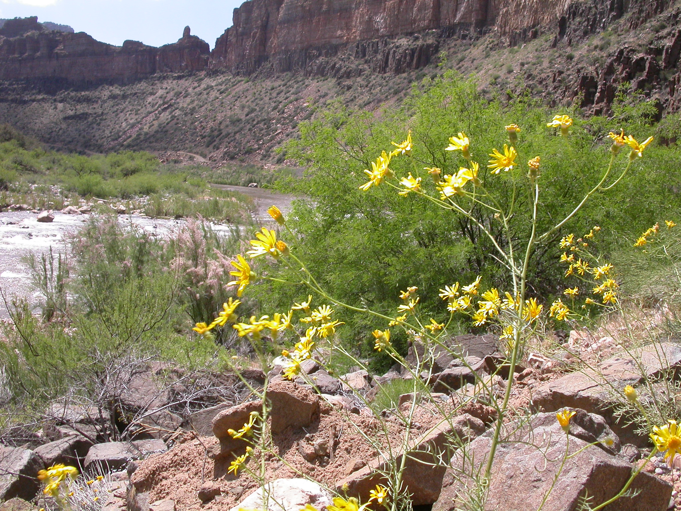
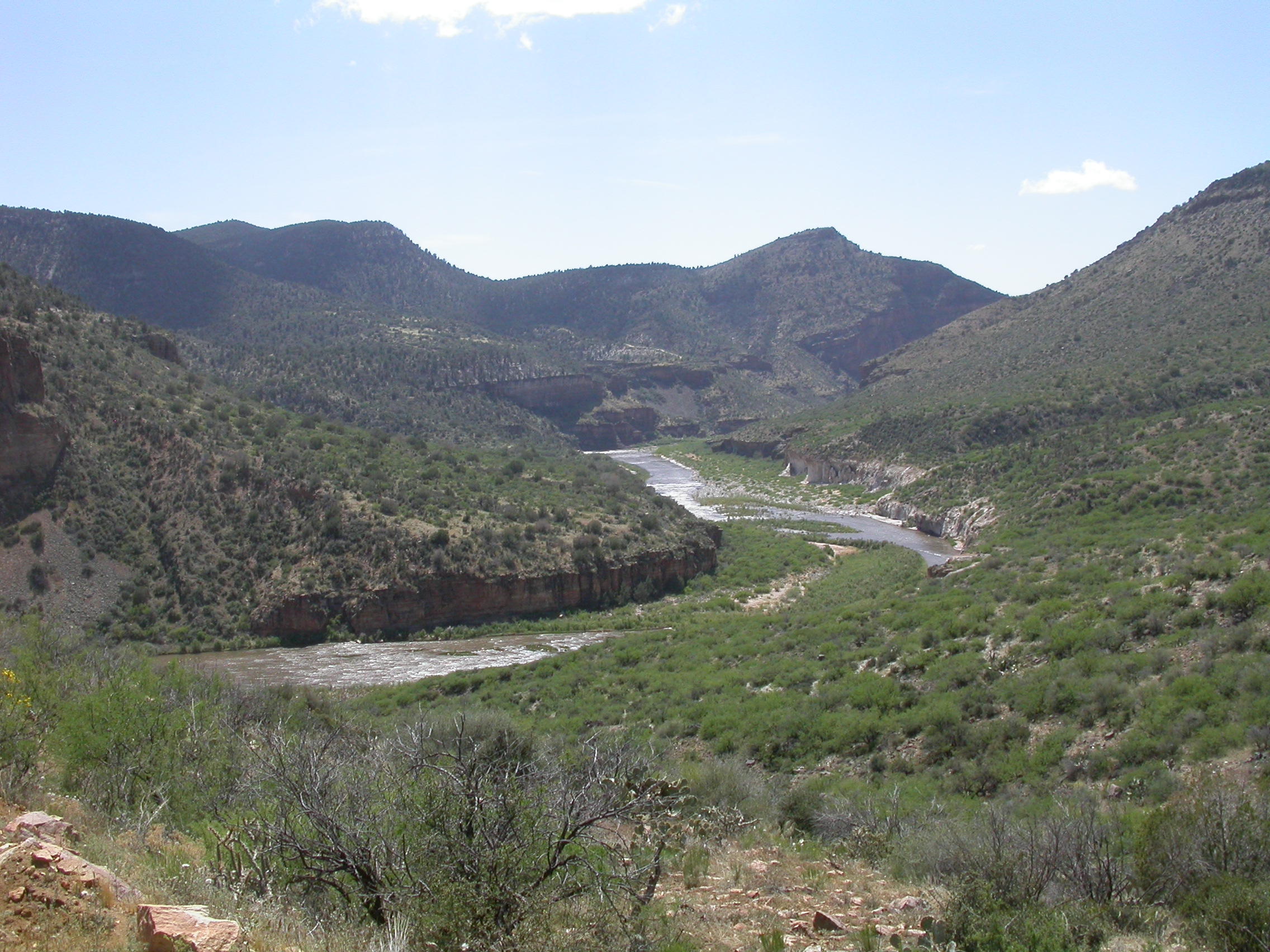
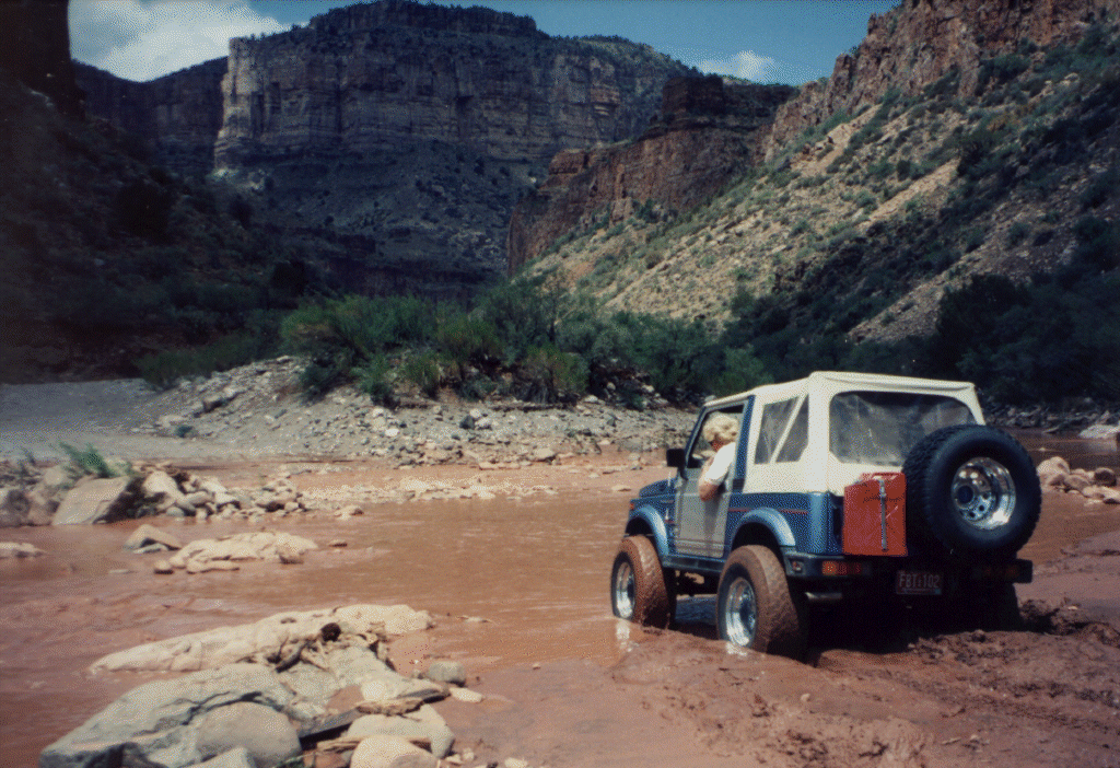
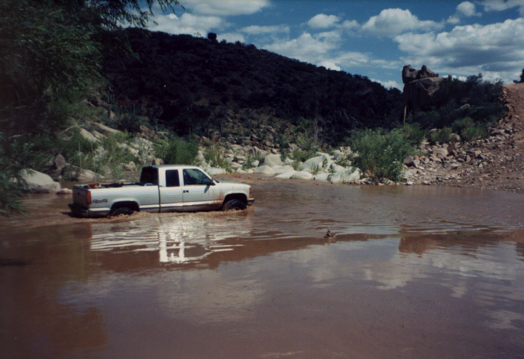
The first hint of adventure came where Cibecue Creek enters the Salt River. Monsoon rains had left the creek running very muddy and there was debris washed all over the place where the road fords the creek. It turned out to be only about a foot deep in silt and water, so even a two-wheel-drive pickup made it through after he watched us go across without being swept away. We stopped for lunch at the extremely scenic waterfall/rockfall at Rock Creek Spring. The second wash crossing excitement of the day was at Canyon Creek. Thrill was added to an otherwise trivial crossing by runoff from overnight rains. I waded across to see how deep this muddy water was. We forded water 25 inches deep on a solid base without any real excitement. Since all three trucks are lifted, we didn't even get our rocker panels wet.
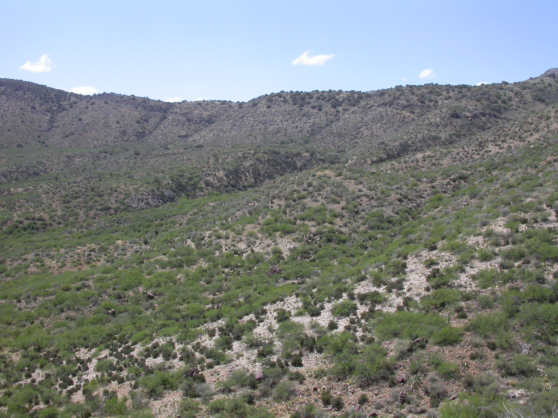
We continued on to Gleason Flats after crossing several ridges and getting some nice views overlooking the Salt from the top of the canyon. In the dry season, this trail would be rated only a class 2 as it is graded dirt the whole way. We continued west from Gleason Flats. After driving for 31 miles on the reservation, we crossed into Tonto National Forest and drove another 20 miles along Cherry Creek before we came out on the pavement on Hwy 288 at the East end of Roosevelt Lake.
Even after stopping to change a flat tire, we were back into Globe eating Mexican food at La Casita Cafe by 7:00 PM. Kudos to the Chevron station on Hwy 60 west of Globe for having TWO nice air hoses for airing up the fleet.
Last modified: Mon Apr 26 19:08:25 2004