Trip Report for our Death Valley Trip 28 March - 1 April 2007.
Here's the report from our March 28-April 1 trip to Death Valley.
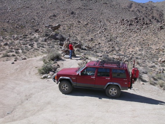
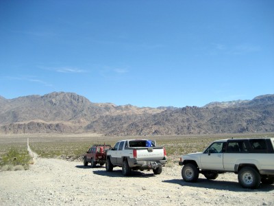
Participants were Bob and Robby P. in their Blazer, Mike D. and Rick M. in
Mike's Cherokee, Ron P. in his Toyota P/U, John H. and Jon R. in John's
Avalanche.
Wednesday 28 March 2007
The Black Cloud award goes to Bob and Robby. They had a U-joint in
the rear driveshaft fail in Stanfield. After hammering it back
together they went back to Casa Grande to get it fixed. They started
out again with new U-joints and got as far as Wickenburg before the
Blazer stopped dead in the middle of the highway. This turned out to
be a melted wiring harness. Since this repair was going to take a while,
Amy drove up in the Tahoe to rescue them. On Saturday morning they
had a flat tire on the Tahoe near Payson. Thanks to Bob for taking care
of all the breakages -- none of the rest of us had any failures on the
trail. I drove the whole way with a bad rear brake rotor and a missing
rear shock -- undiscovered damage from Eagle Creek in January.
Jon and John stopped at Zabriskie Point just in time to miss sunset on
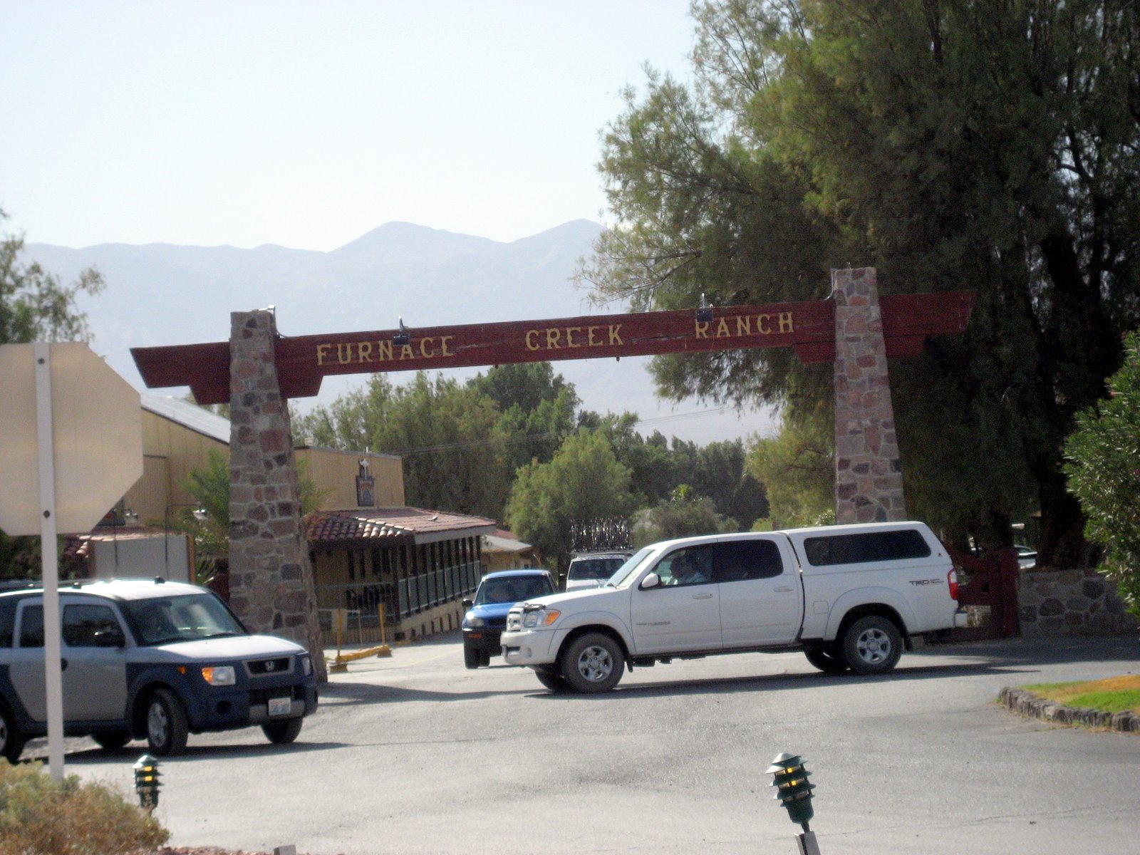
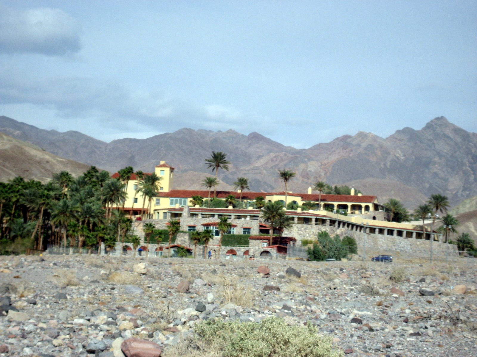
Wednesday. Everybody went in to Furnace Creek for dinner.
Photos by Ron P. (coming from Yuma)
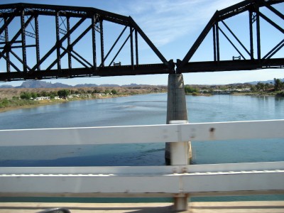
Colorado River at Parker, AZ.
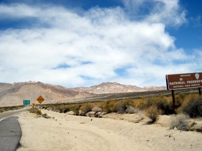
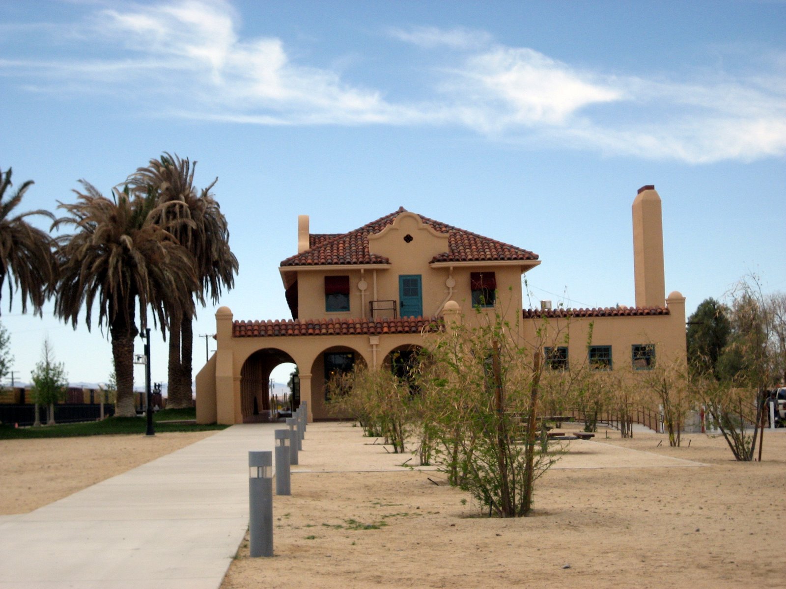
Mojave National Preserve.

Kelso train station.
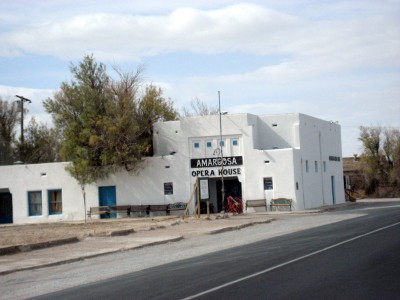
Amarosa Opera House.
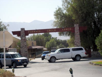
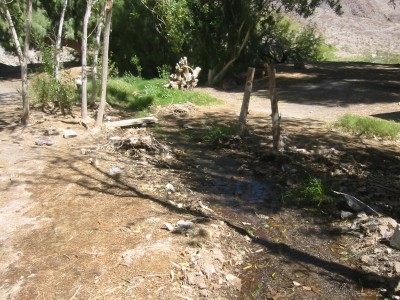
Furnace Creek Ranch.
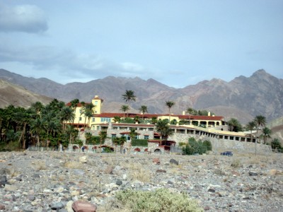
Furnace Creek Inn.
Photos by Mike D.
Zabriskie Point.
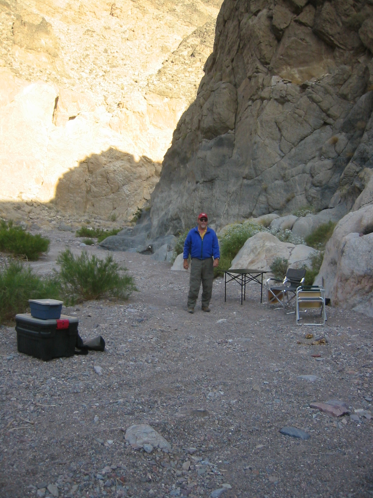
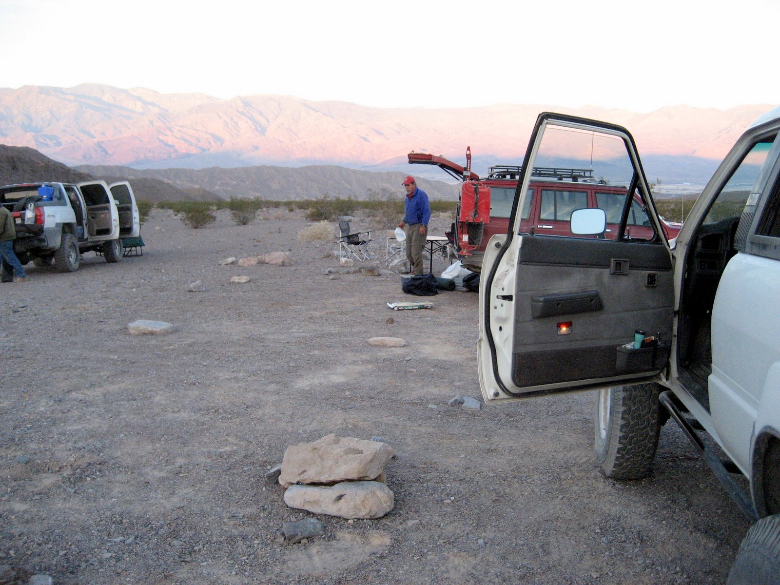
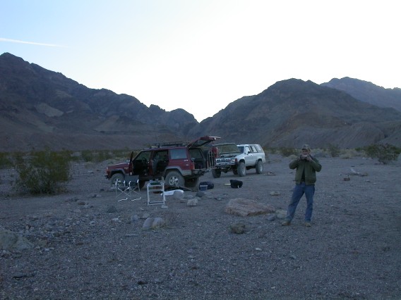
Mike and Rick's camp in Echo Canyon.
Photos by John H.
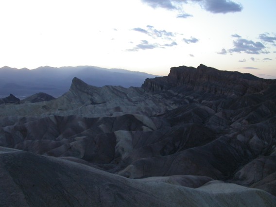
Zabriskie Point just after sunset.
More photos from 28 March 2007
Thursday 29 March 2007
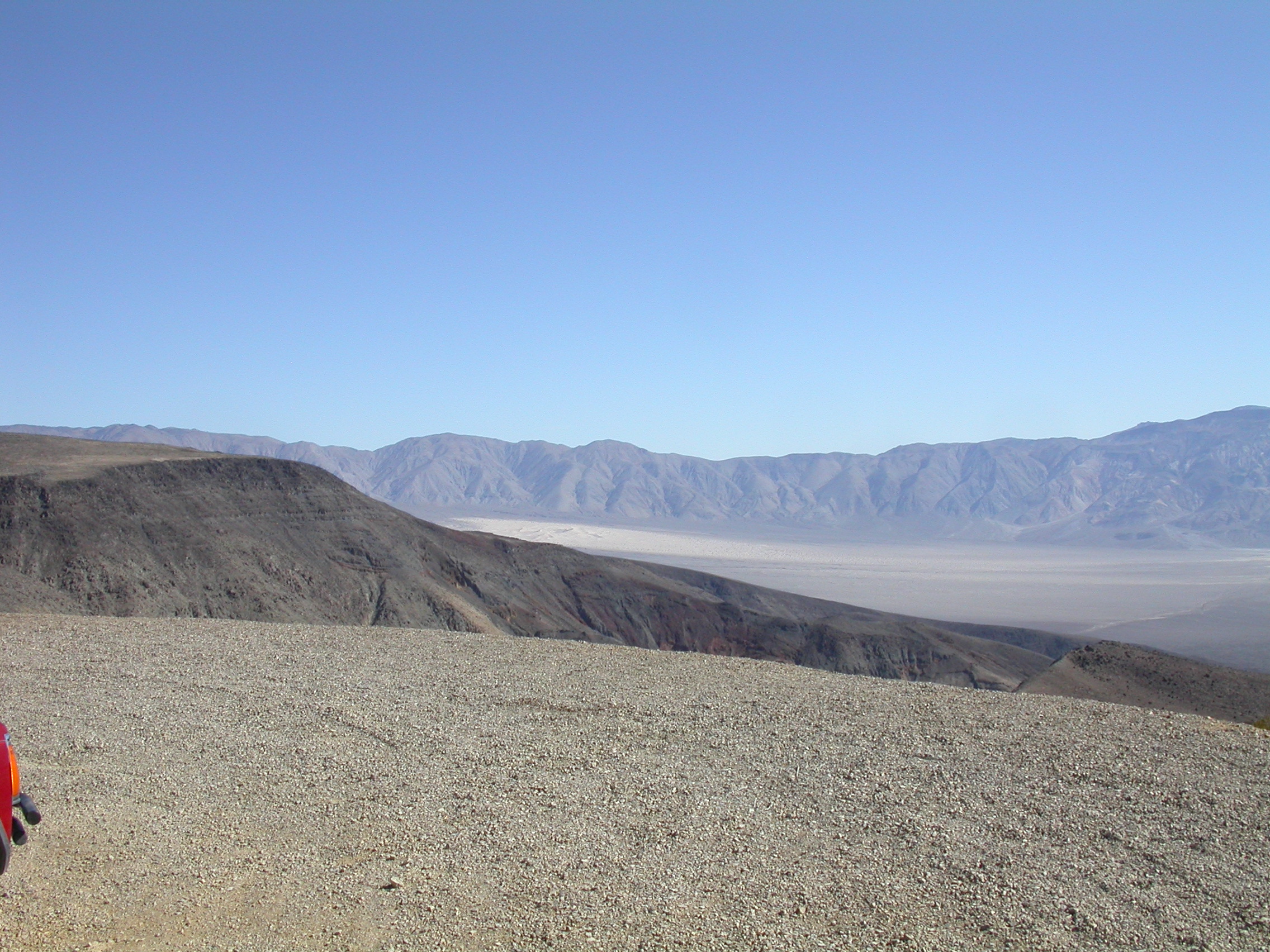
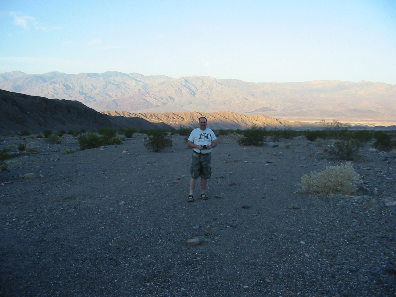
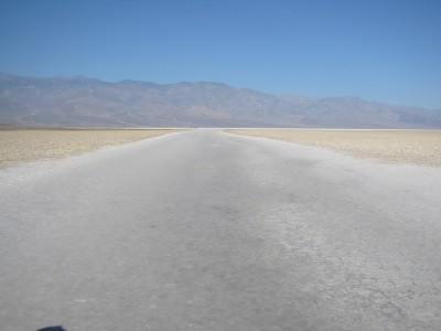
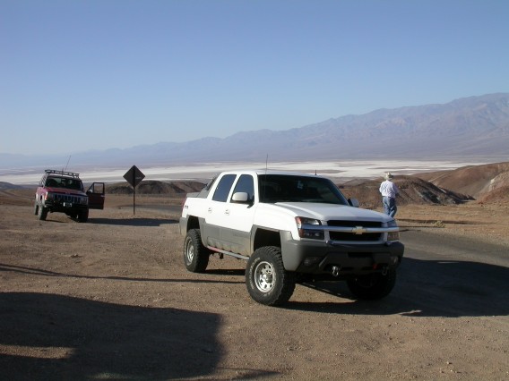
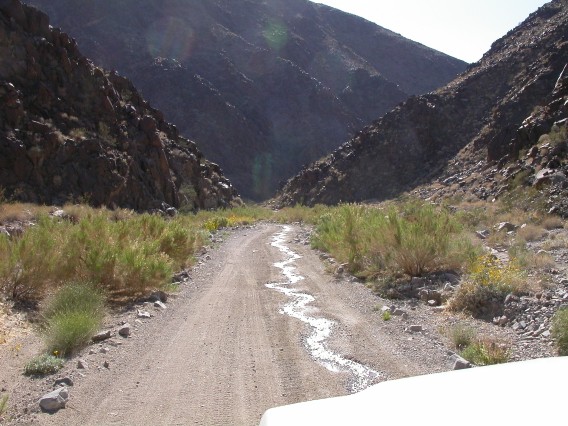
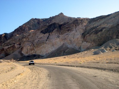
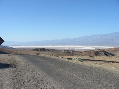
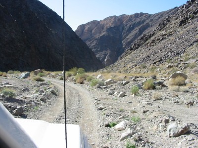
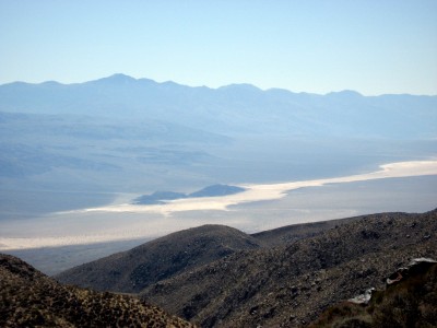
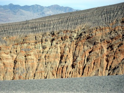
Thursday morning we headed south from Furnace Creek. We drove around
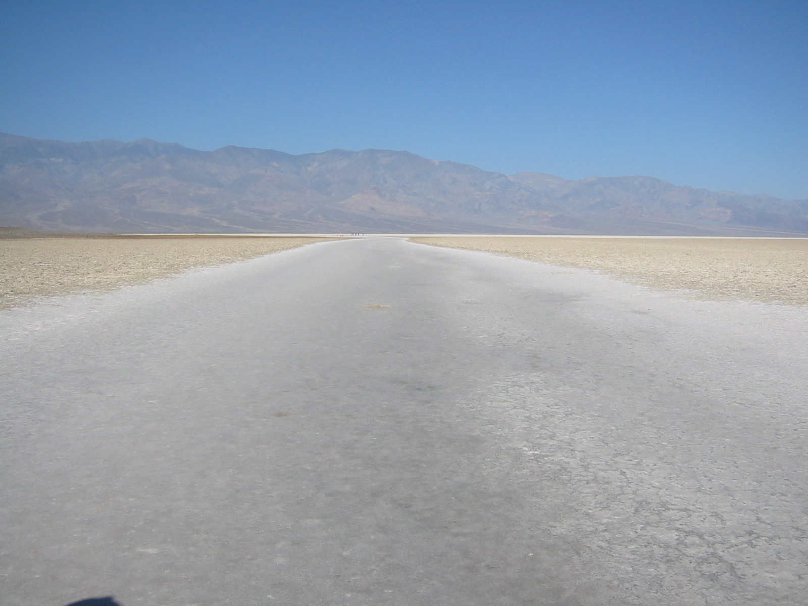
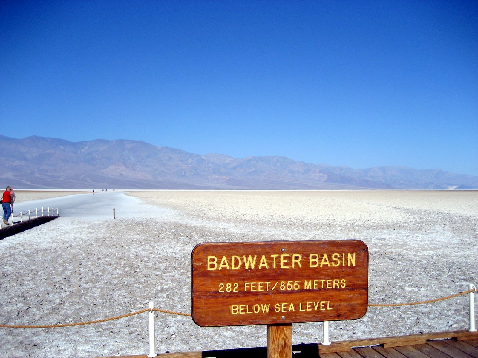
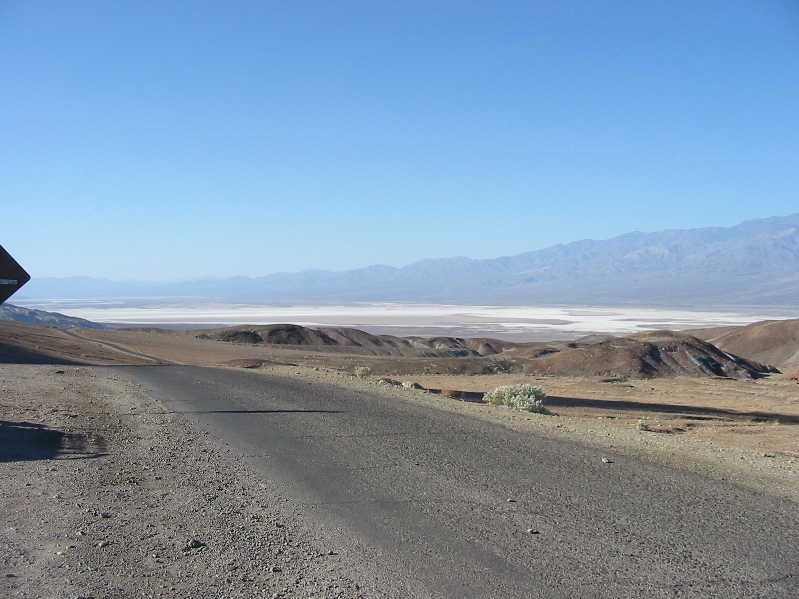
Artist's Loop, and then stopped to check out Badwater (lowest spot in
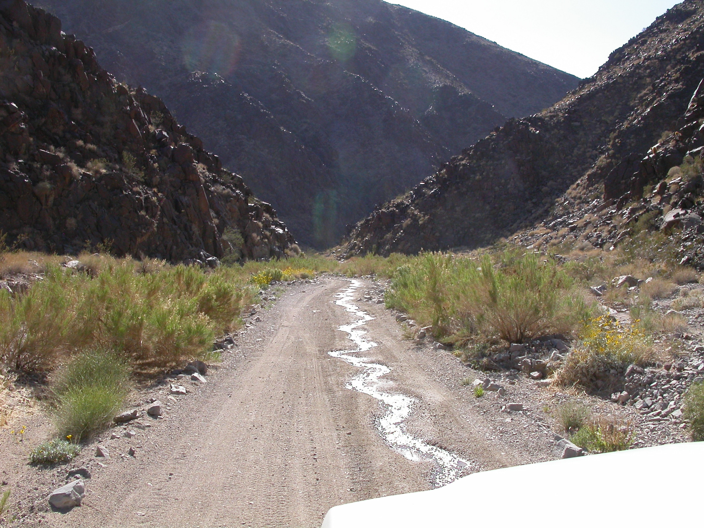
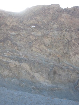
North America). We left pavement and headed up Warm Spring Canyon
where we checked out the remains of various old and newer talc mines.
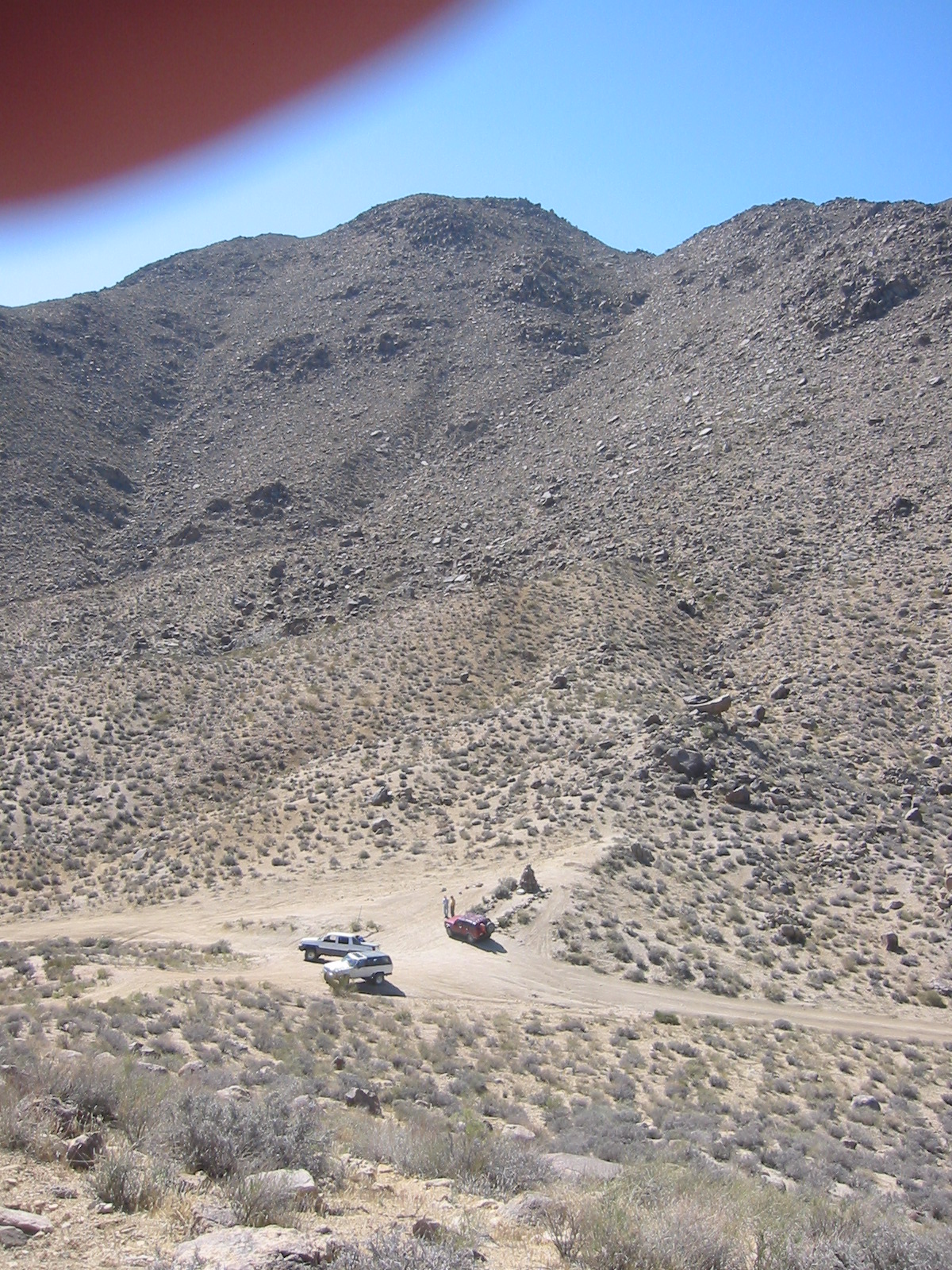
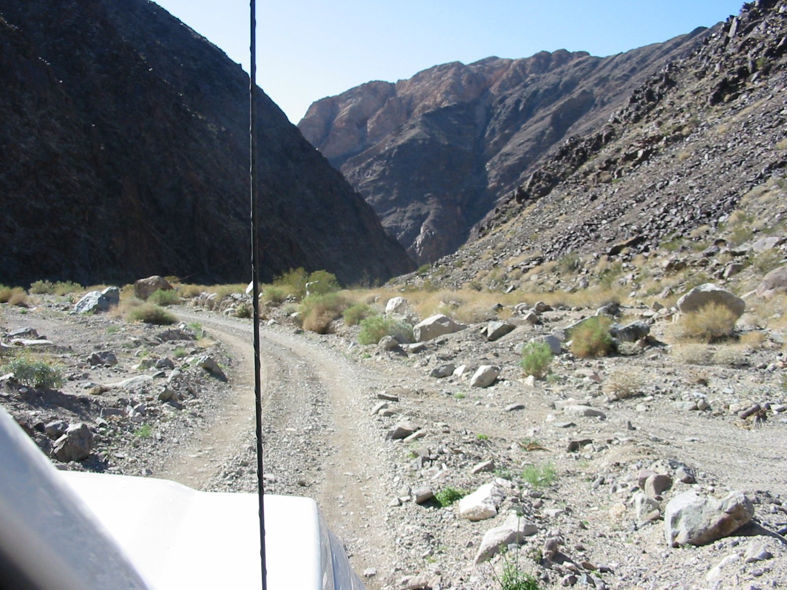
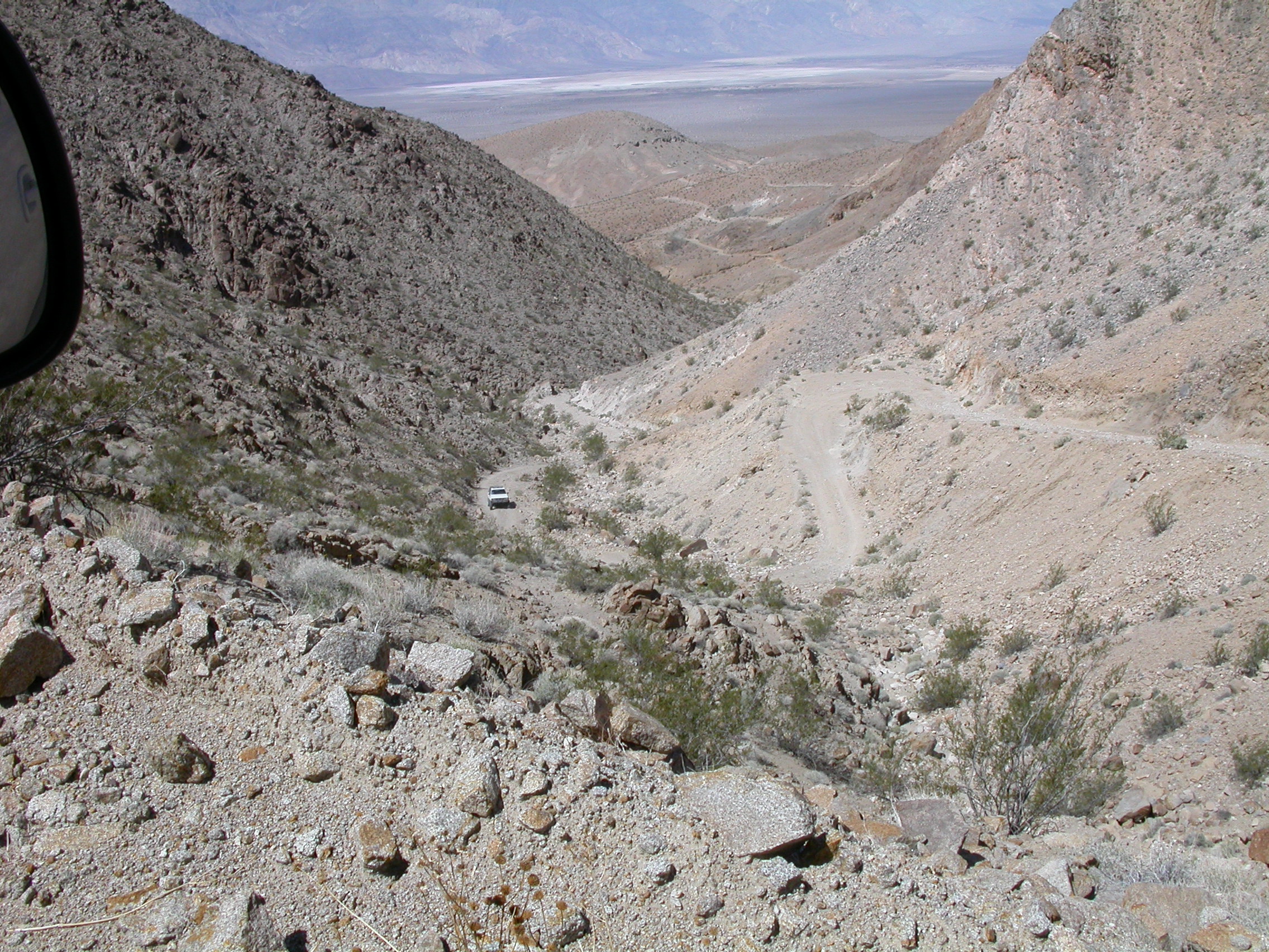
We had lunch in Butte Valley. Then we crossed Mengel Pass and headed
down Goler Wash. The road in Butte Valley was rocky and rough, but
easy going in the 4WD sense. The Mengel Pass road was sandy and
smooth with occasional rock obstacles. Depsite the concern of the
ranger that we were going the hard direction, we passed all the
obstacles without use of spotters, lockers or winches. We missed the
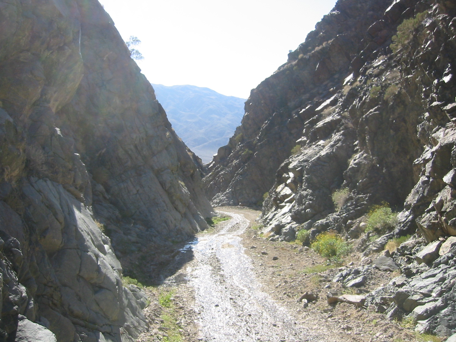
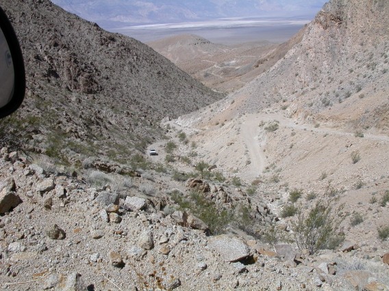
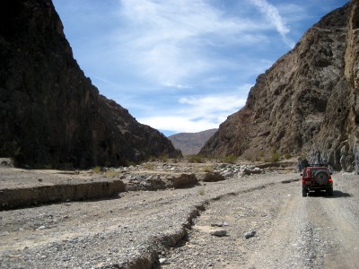
turn for Barker Ranch, but the drive down Goler Wash was spectacular
in the late afternoon light. This left us in Panamint Valley. We went
north on the graded road to the semi-ghost town of Ballarat. The two
old guys sitting on the porch of the store/museum/house were
"interesting".
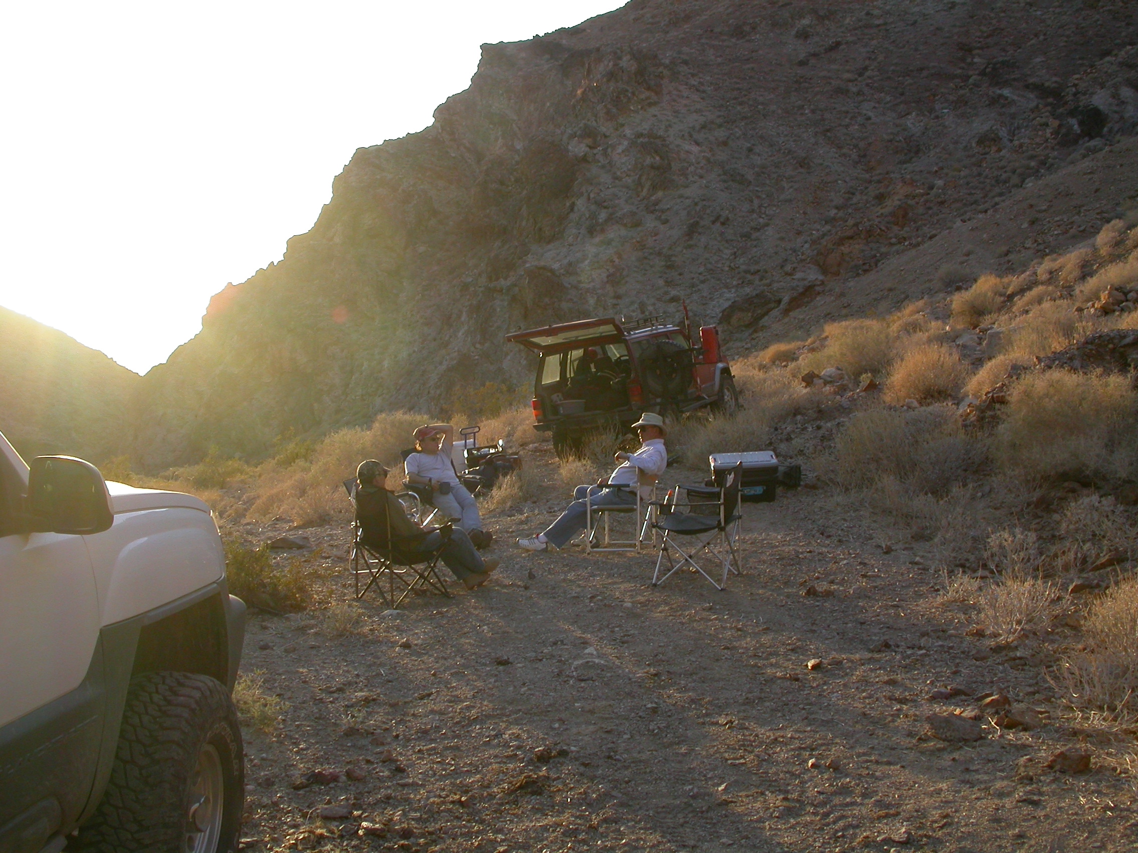
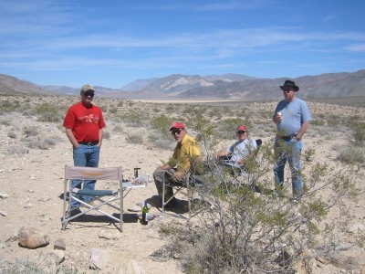
We drove a couple miles up Pleasant Canyon and camped for the night
beside a flowing stream in this narrow canyon. We were most surprised
by the amount of flowing water we found in the Death Valley area.
During the night a wild burro came along to let us know that we had
taken his spot. Temperature was cool up in the mountains, but we were
shielded from the wind in the canyon.
Photos by Mike D.
Looking up at sea level.
Badwater Basin.
Warm Spring.
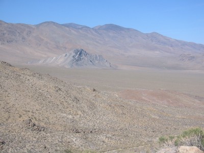
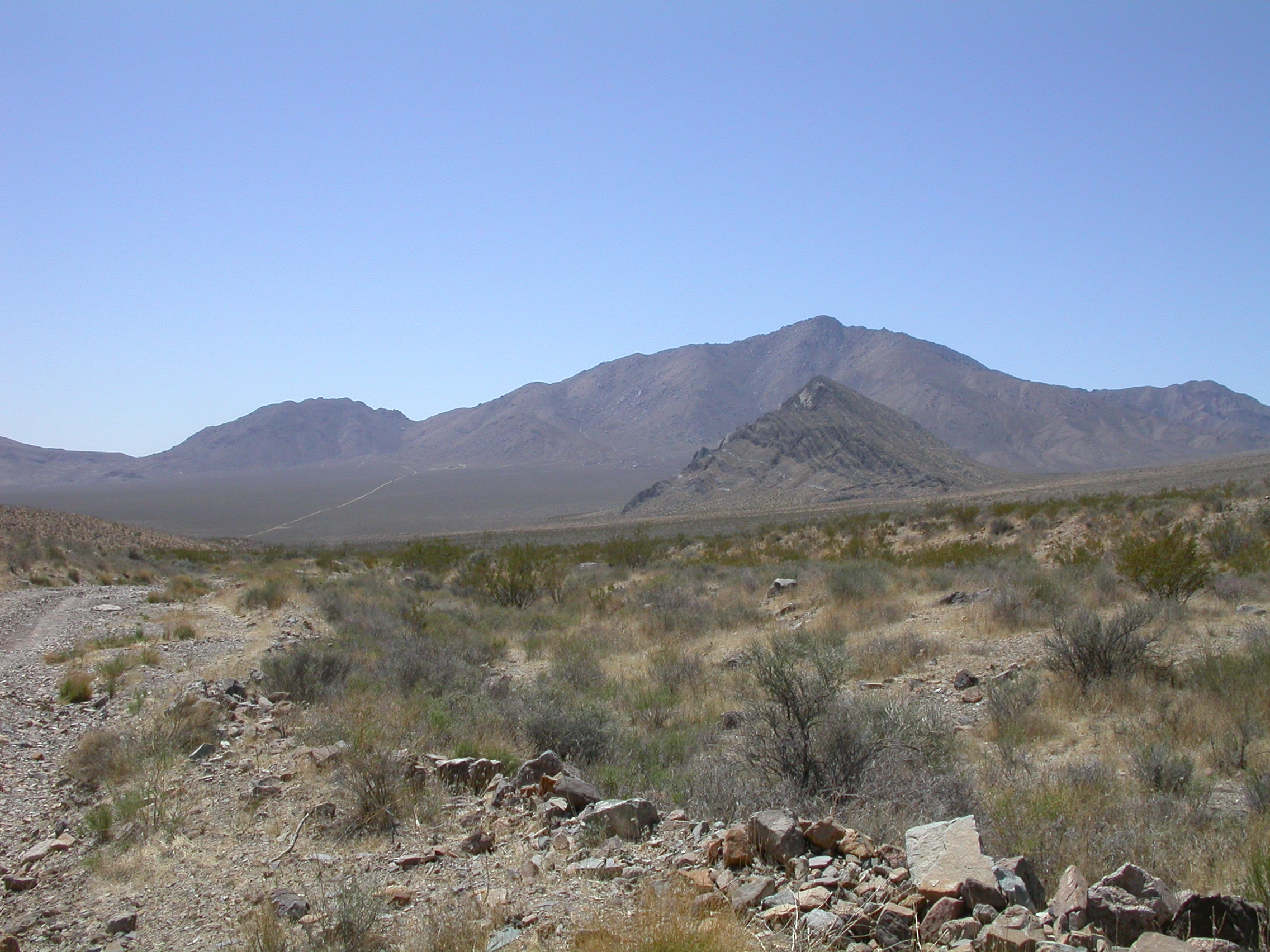
Striped Butte as seen from Mengel Pass.
Mengel Pass.
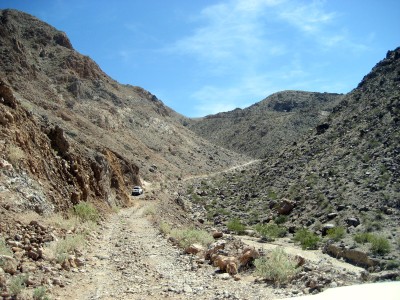
Goler Wash.
Photos by John H.
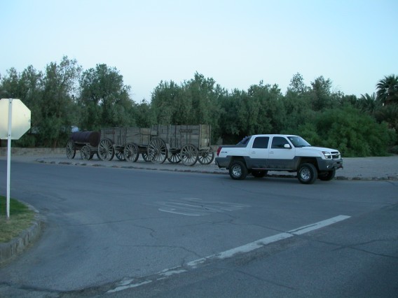
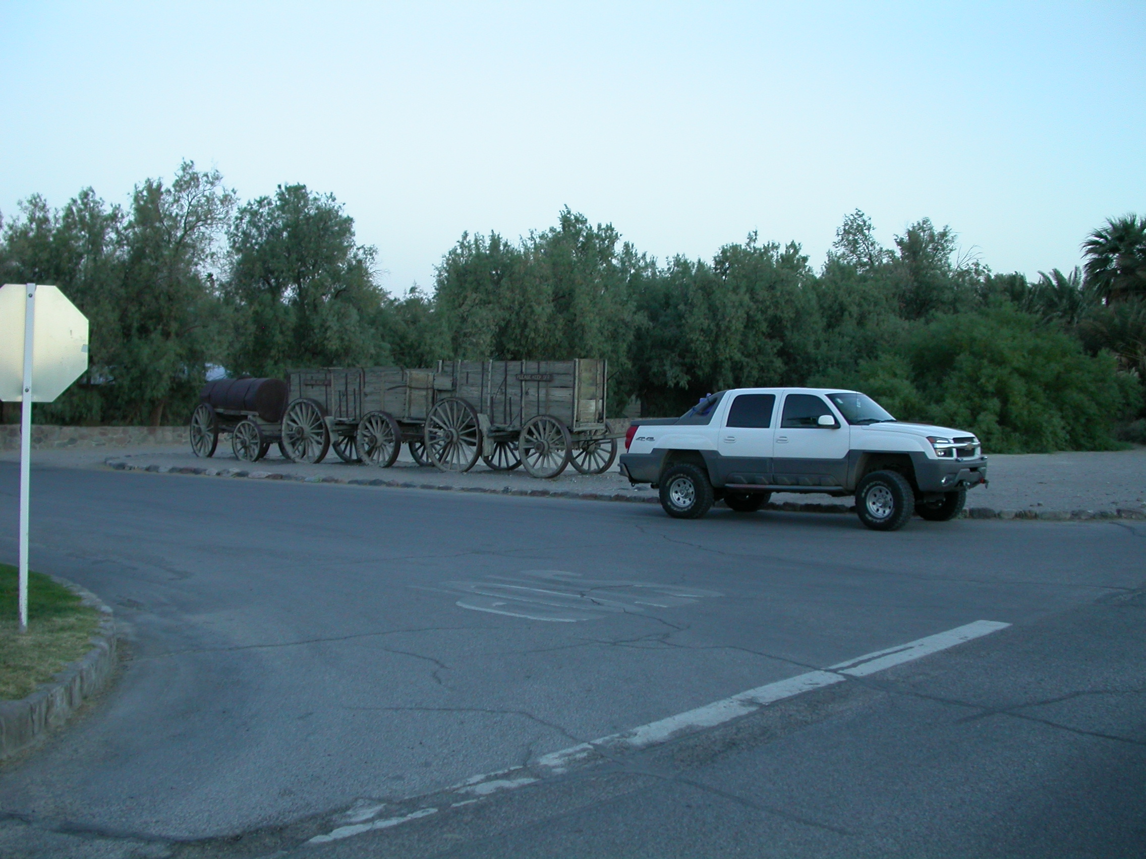
More than 20 mule power here! (John's Avalanche and the borax wagons at Furnace Creek).
View from Artist's Loop.
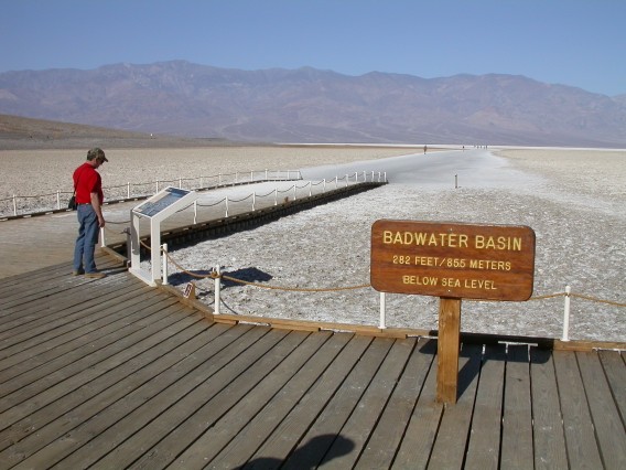
Badwater Basin at 282 feet below sea level.

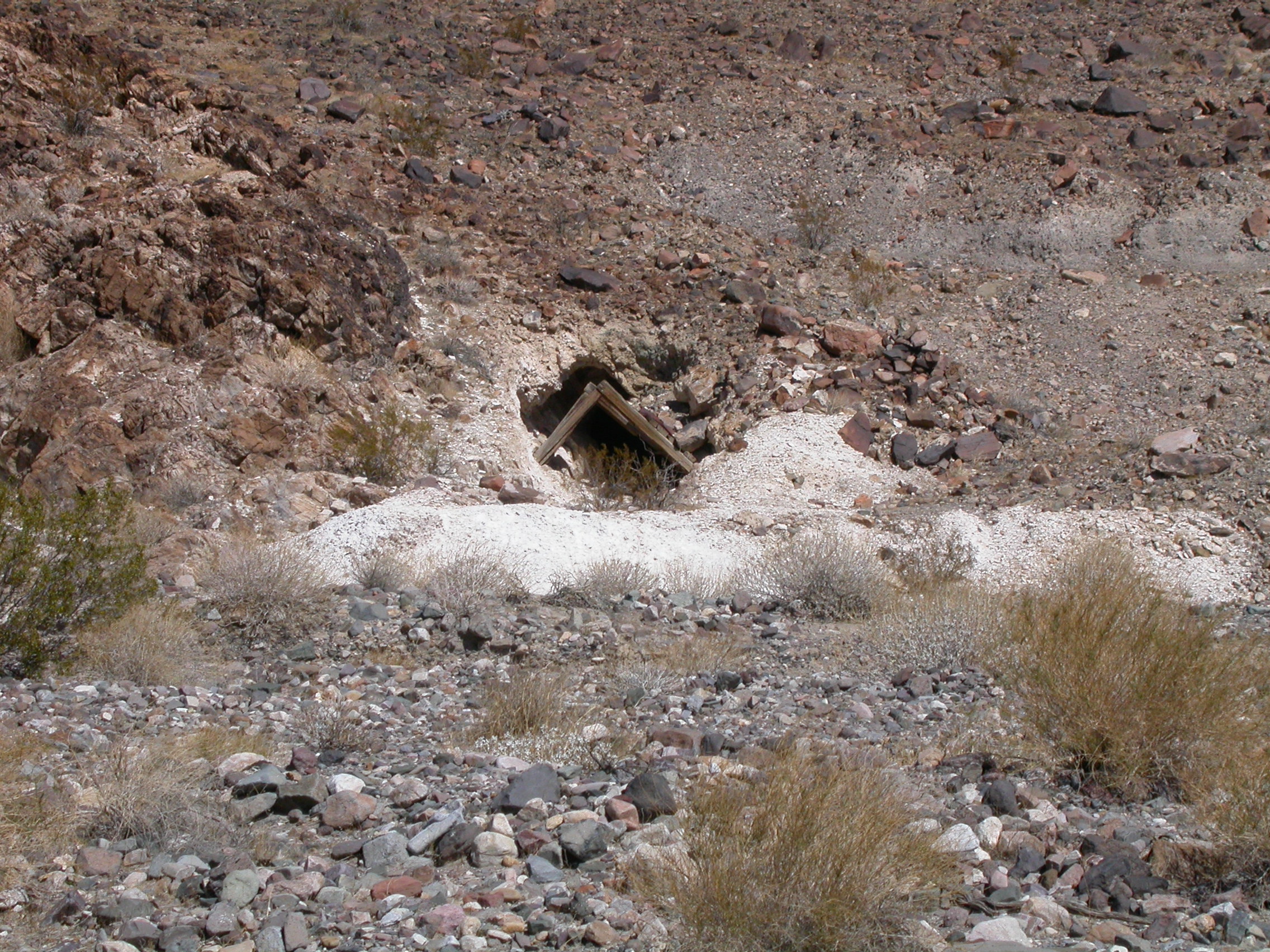
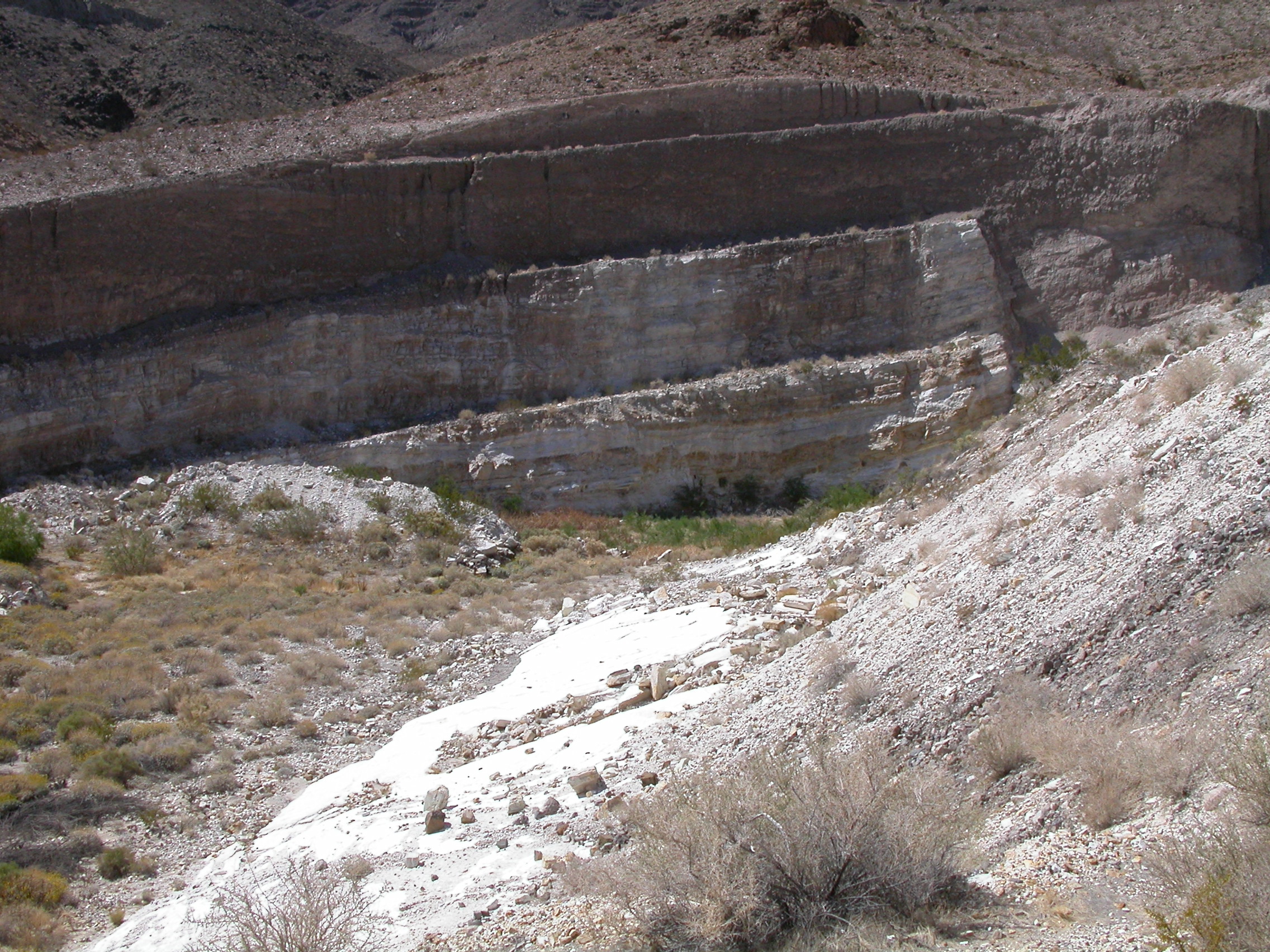
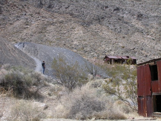
Talc mine along Warm Spring Road.
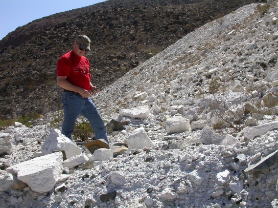
Checking out the talc mine tailings.
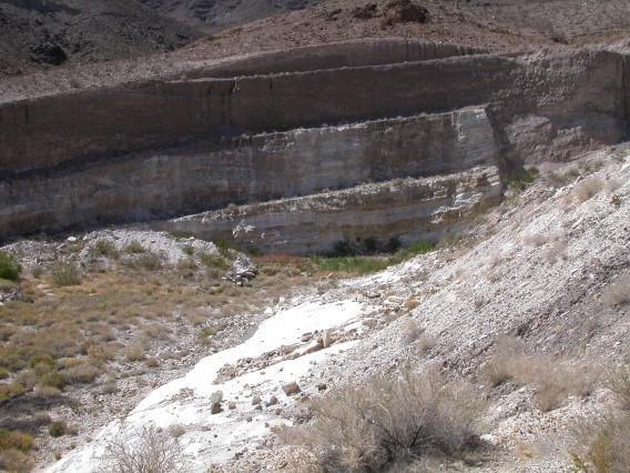
Open pit talc mine near Warm Spring.
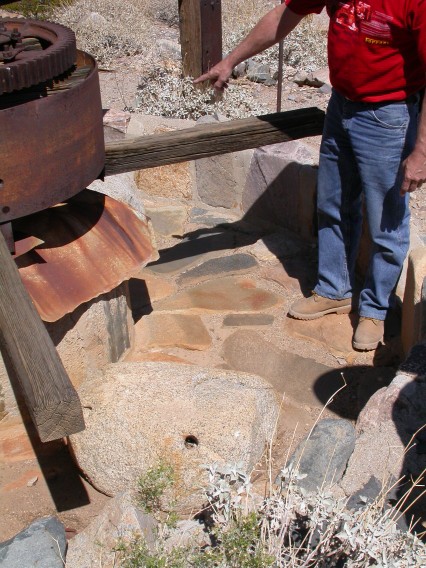
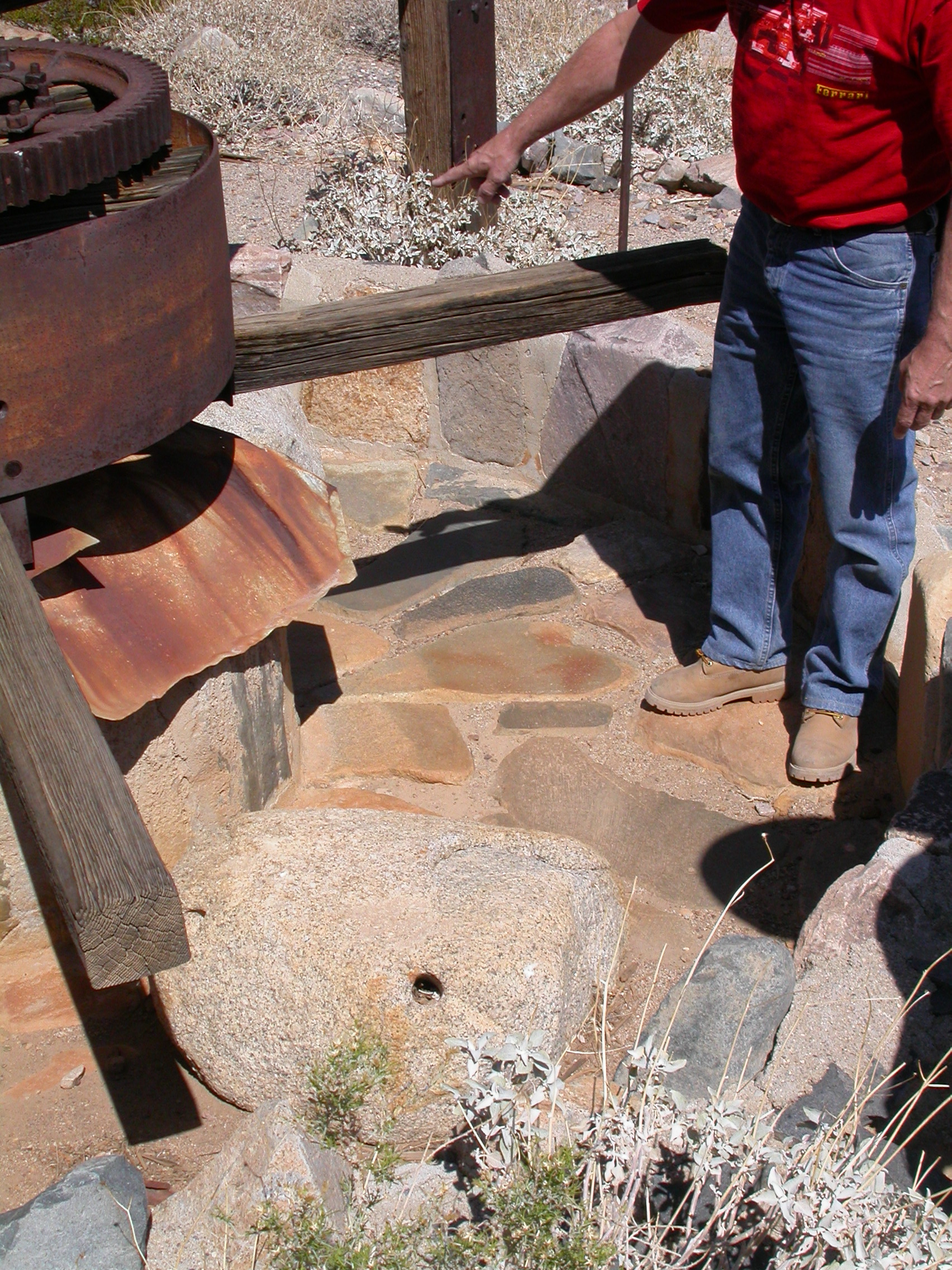
Arrastra at Warm Spring for working the ore from Gold Hill Mine.

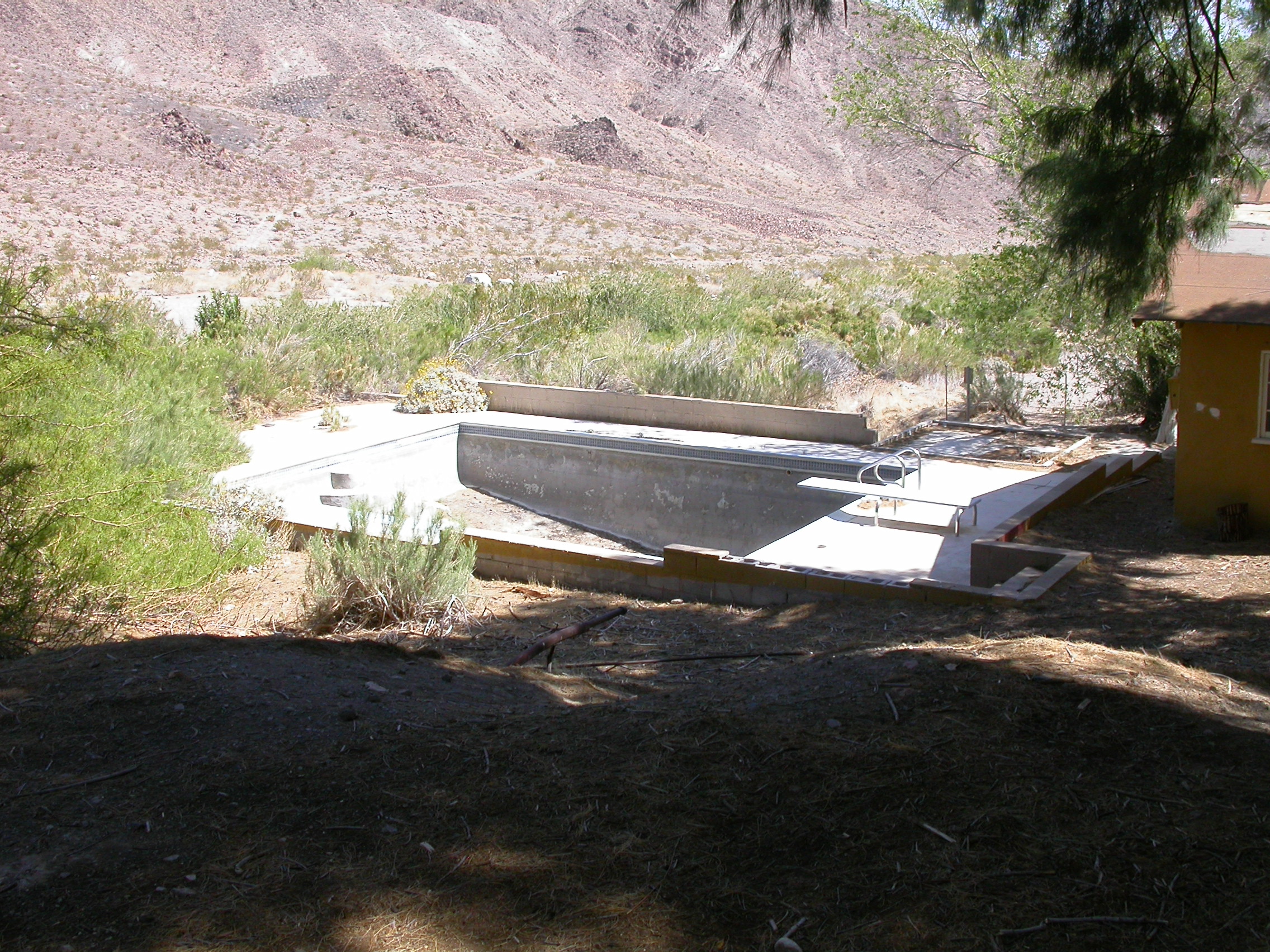
Swimming pool at Warm Spring.

Striped Butte as seen from Butte Valley.

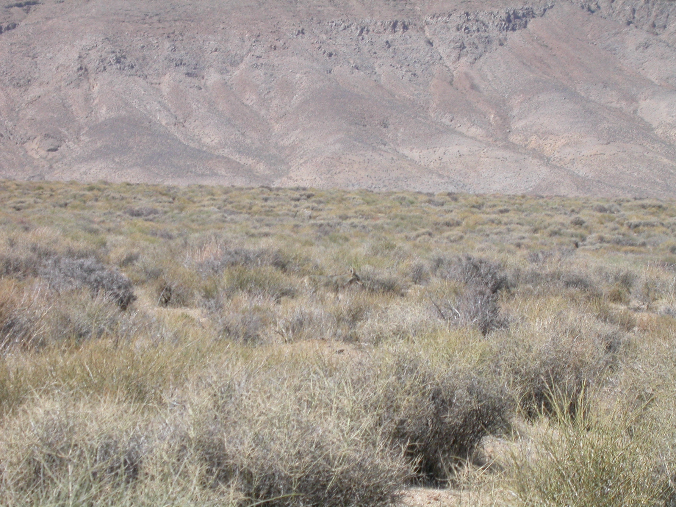
Coyote.

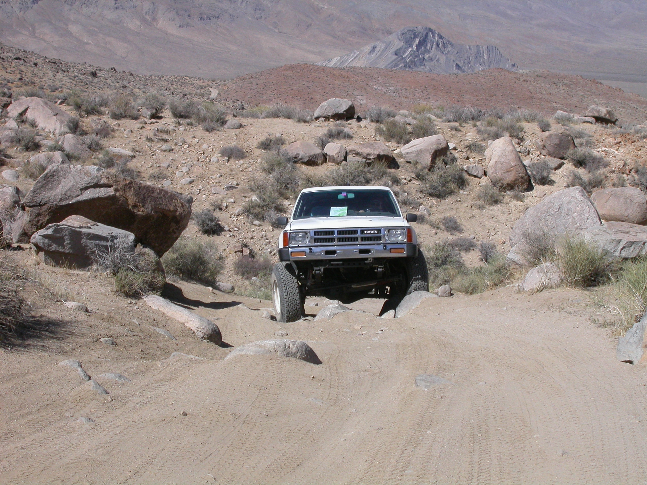
Obstacles on the trail climbing up Mengel Pass.
Top of Mengel Pass.
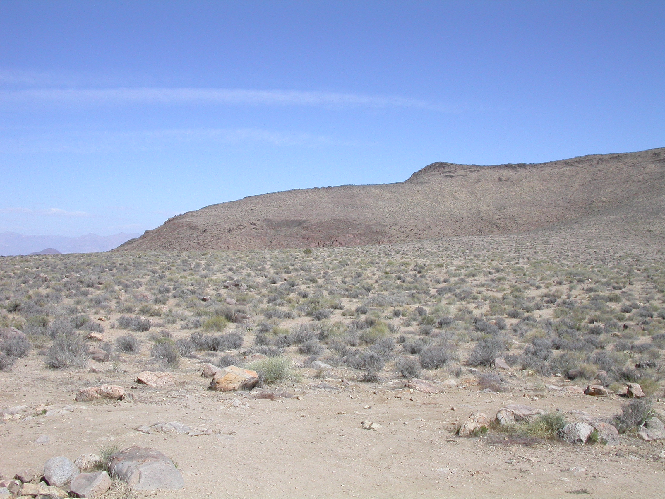
Panorama from the top of Mengel Pass.
Going down Goler Wash.

Camping in Pleasant Canyon.
Photos by Ron P.
Along Artist's Loop.

Badwater Basin.
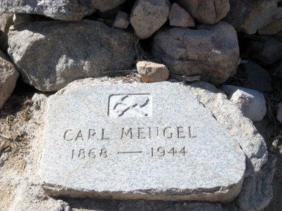
Carl Mengel's grave atop Mengel Pass.
Photos by Jon R.
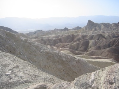
View of central Death Valley from along Artist's Loop.
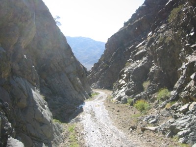
Heading down Goler Wash
More photos from 29 March 2007
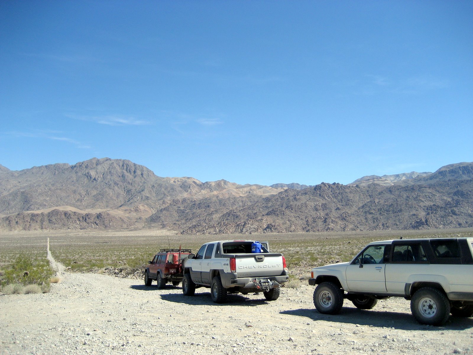
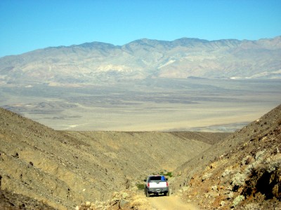
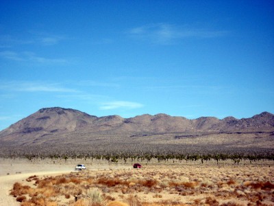
Friday 30 March 2007
Friday morning we drove back down Pleasant Canyon (didn't go around
the loop) and drove on the pavement to Panamint Springs for supplies.
Gas was $4 per gallon and propane was $6 per quart. (Jon R. says he
would charge more than that if he had to live there.) Then we headed
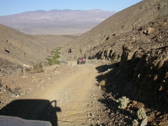
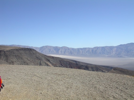
north and took the road to South Pass and then down into Saline
Valley. As we went down into Saline Valley we were buzzed by a couple
of F-18's from China Lake (just south of Panamint Valley). Next we
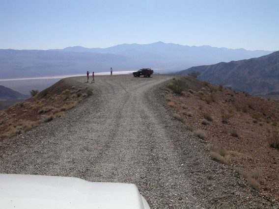
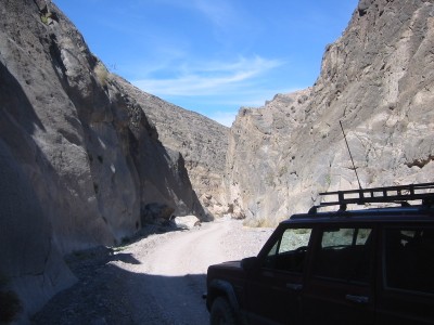
headed up Lippencott Road to cross into Racetrack Valley. Lippencott
is rough and eroded, so 4WD was seriously needed. It also has a
number of washouts that narrow the road enough to make it very
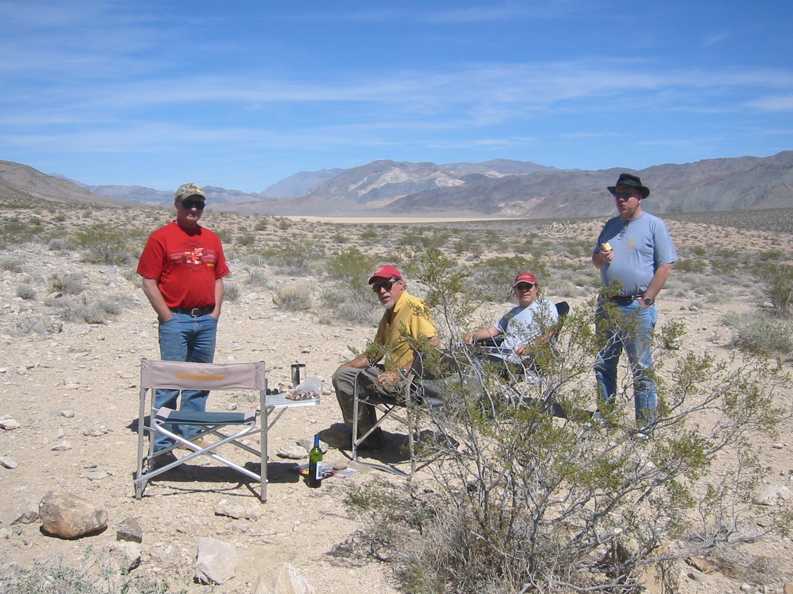
exciting from the passenger seat of a fullsize truck. After lunch at
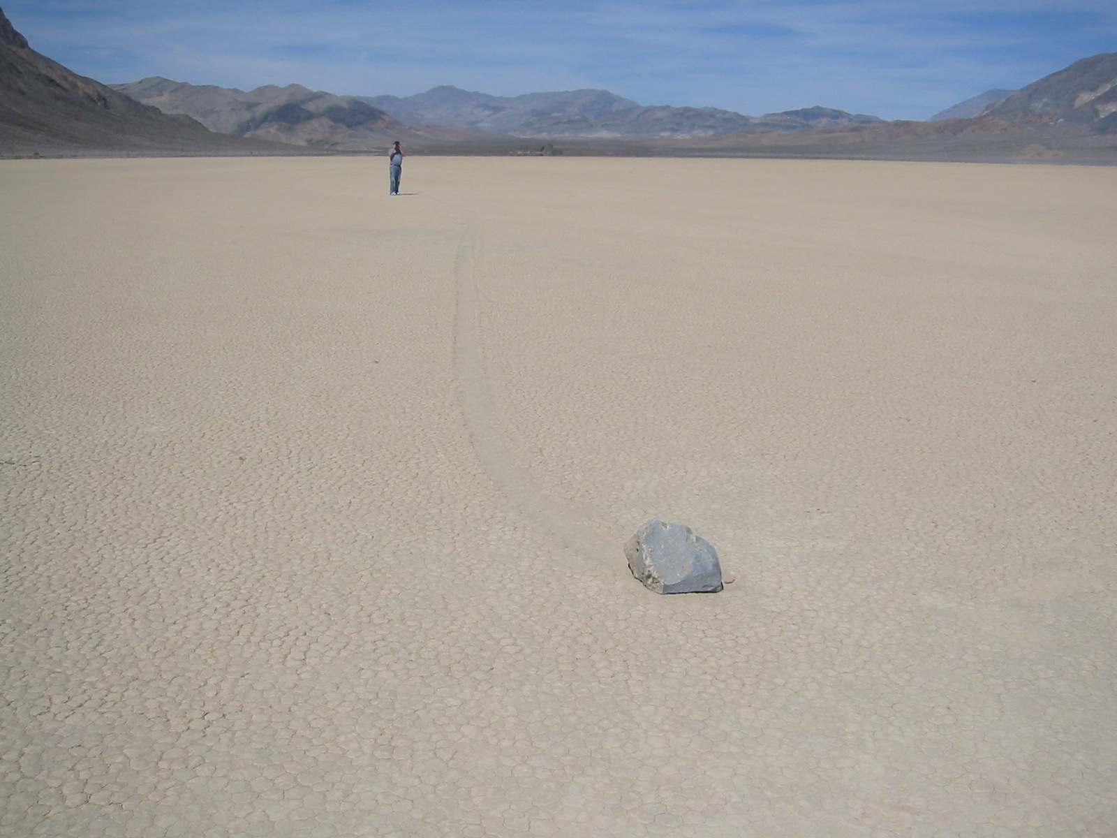
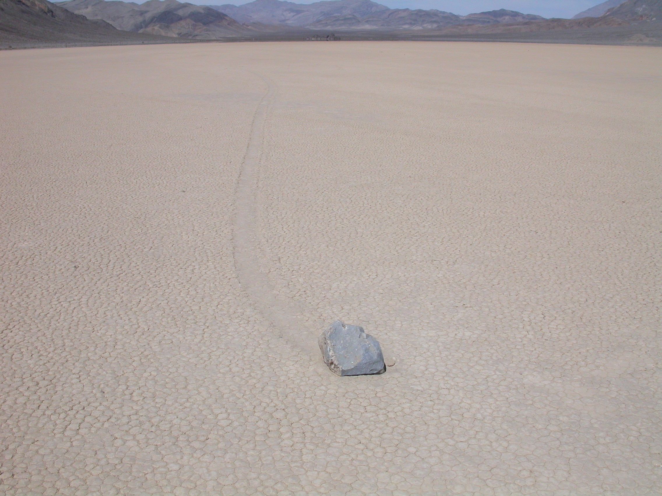
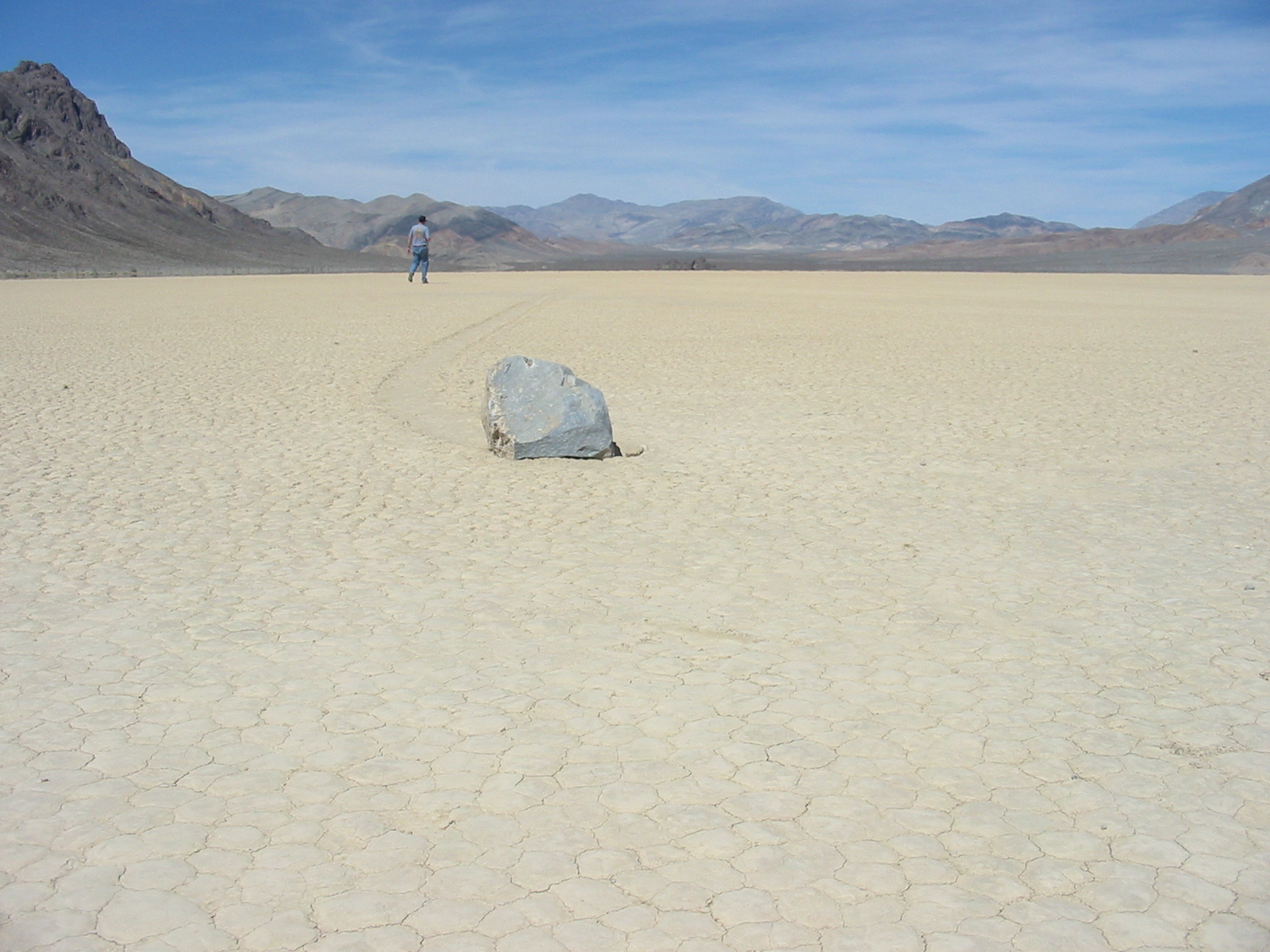
the top of Lippencott, we headed north on Racetrack Road to see the
famous "moving stones" on the playa. (Jon says you have to watch out
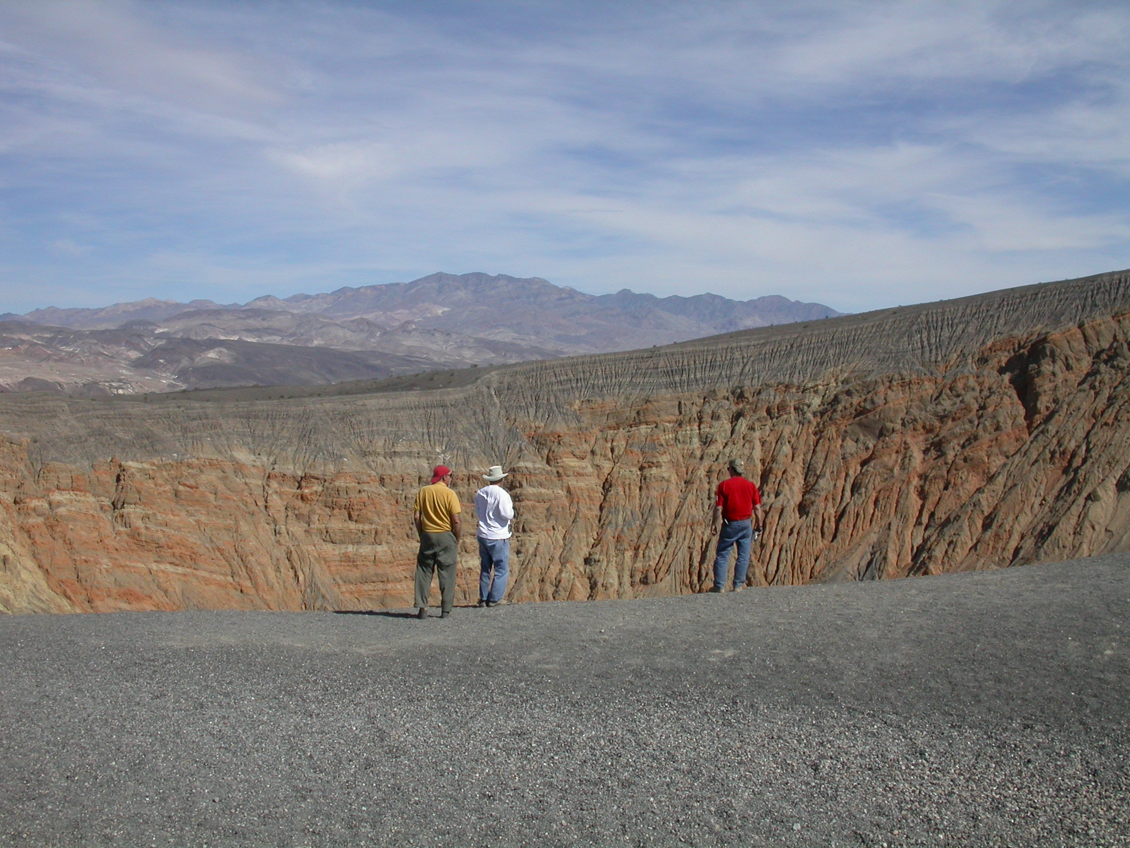
of the corner of your eye to see them move.) At the far end of
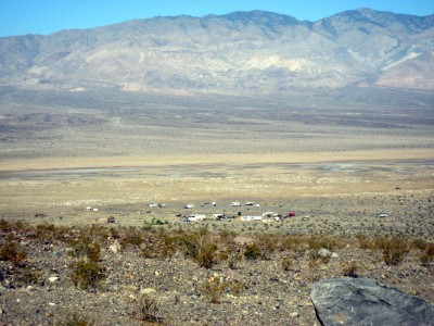
Racetrack, we stopped at Ubehebe Crater. We camped that evening at the
developed campground at Mesquite Spring (much nicer than the
campground at Furnace Creek). It was cooler and windier than the
previous night.
Photos by Mike D.

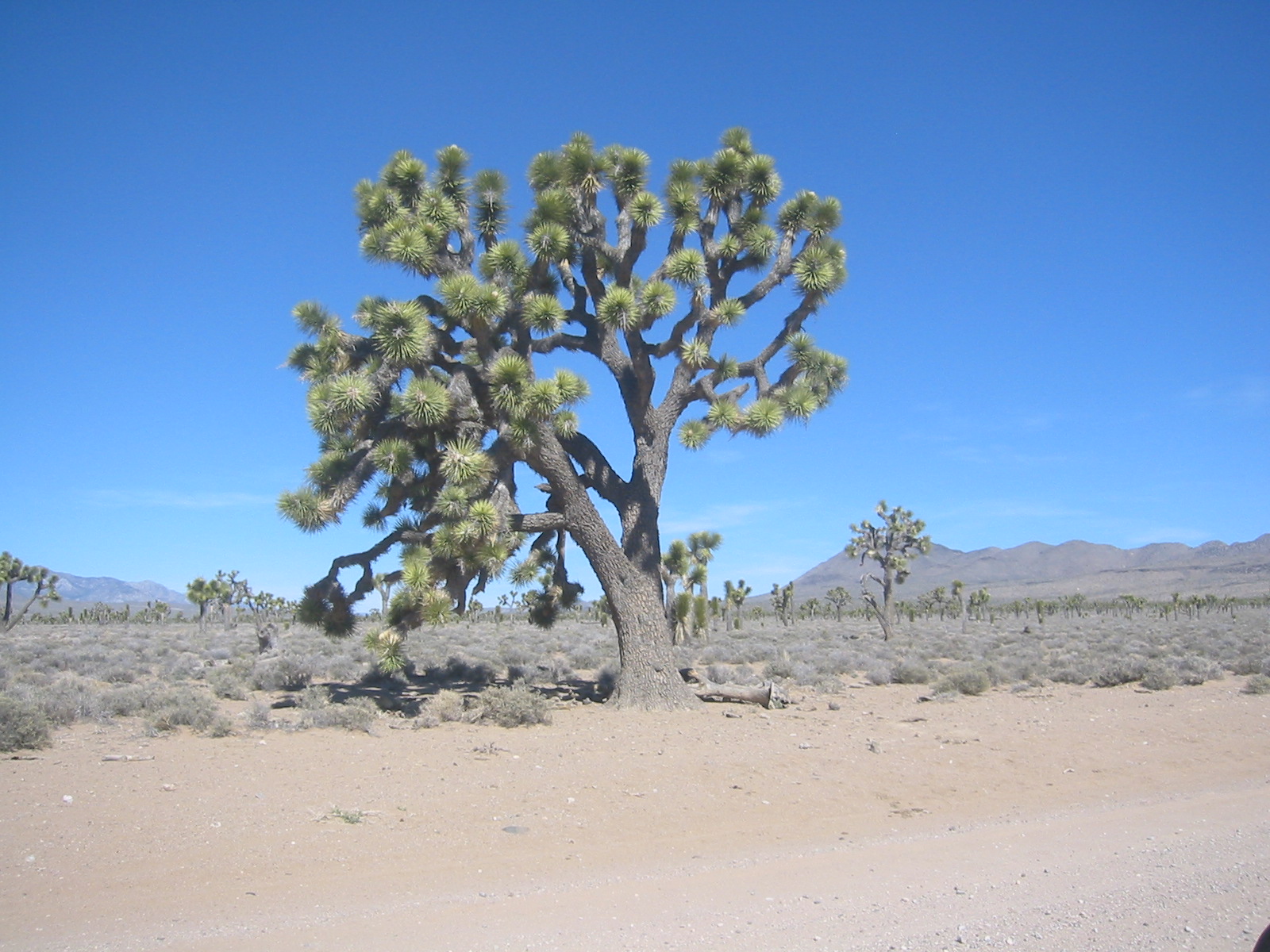
Joshua tree near Lee's Flat.
Lunch in the "forest" at the top of Racetrack Valley.
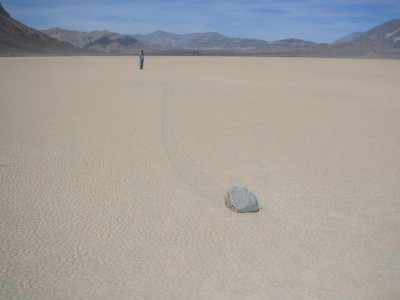
Moving stones on Racetrack Playa.
Photos by John H.
Going back down Pleasant Canyon.
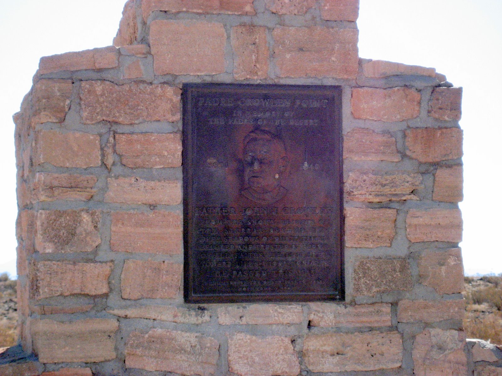
Padre Crowley Point.
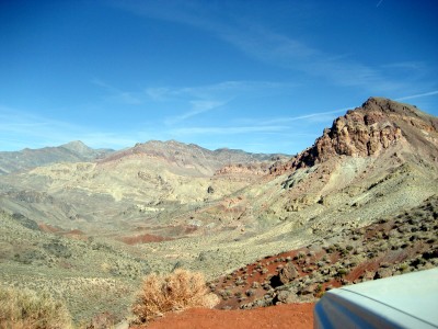
Panorama of Panamint Valley from Padre Crowley Point.
Lippencott Road looking back down into Saline Valley.
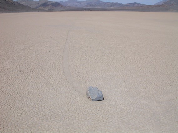
Moving stones on Racetrack Playa.
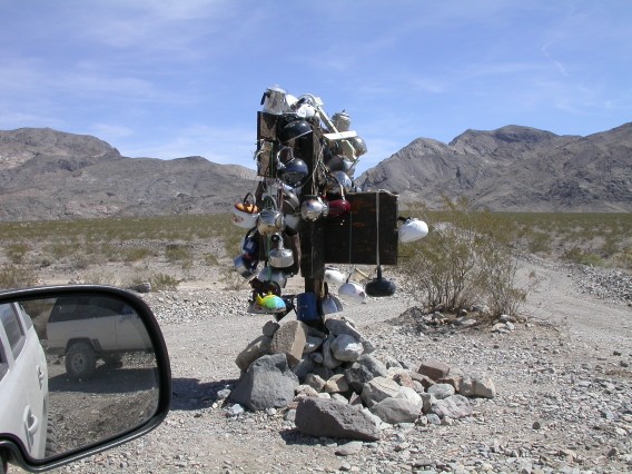
Teakettle Junction.
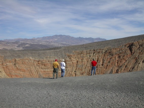
Ubehebe Crater.
Photos by Ron P.
going down Pleasant Canyon.
suburban Ballarat in Panamint Valley.
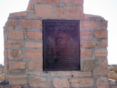
Padre Crowley Point.
Joshua Trees in Lee's Flat.
Looking down into Panamint Valley (near South Pass).
In Saline Valley on the way to Lippencott Road.
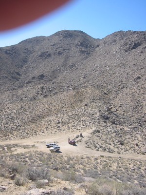
going up Lippencott Road -- some real 4-wheelin'.
Ubehebe Crater.
Photos by Jon R.
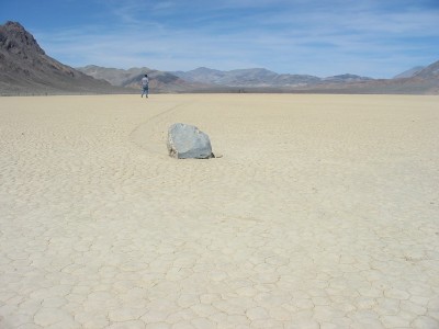
You might see them move if you watch out of the corner of your eye.
More photos from 30 March 2007
Saturday 31 March 2007
Saturday morning we got separated leaving Mesquite Spring. It seemed
obvious to me that we were going via Scotty's Castle, but the other
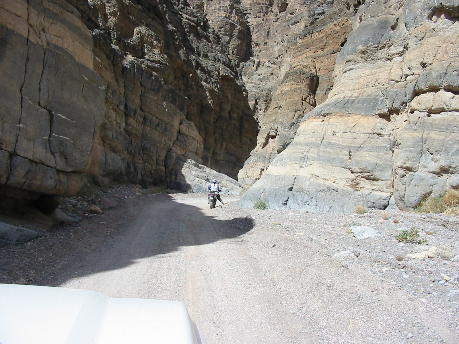
guys had already turned the other way. We all did the Titus Canyon
trail, but not at the same time. Titus is graded for stock SUVs so
the wheelin was easy and there was lots of traffic. While John and
Jon looped back through Beatty to reconnect, the other guys drove up
Cottonwood Canyon. We met up again near Stovepipe Wells. After a
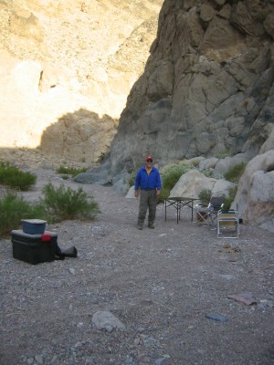
stop at the Borax Works, we camped a couple miles up Echo Canyon.
Temperature in the valley was up around 90 degF in the late afternoon
(still a cool spring day by DV standards).
Photos by Mike D.
Titus Canyon.
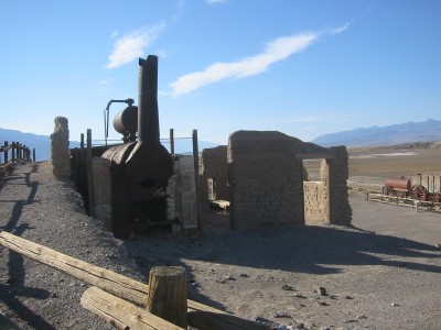
Harmony Borax Works.
Photos by John H.
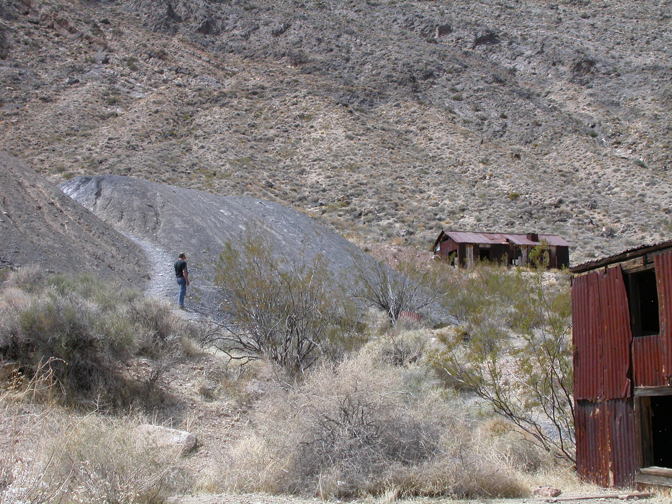
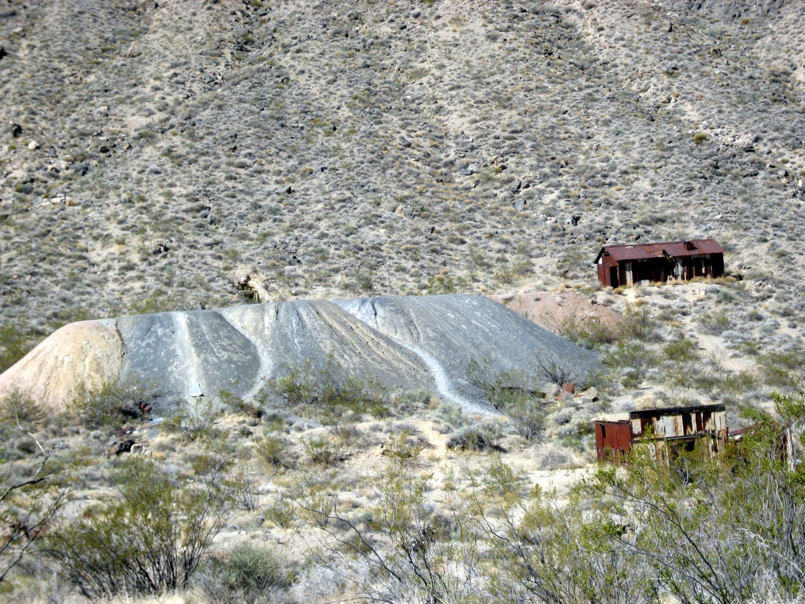
Leadfield.
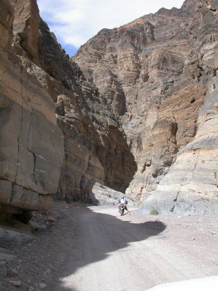
Titus Canyon.
Photos by Ron P.
On the way into Titus Canyon.

Leadfield.
Cottonwood Canyon.
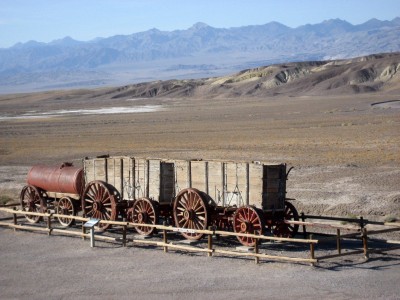
Wagons for your 20-mule team at Harmony Borax Works.
Photos by Jon R.
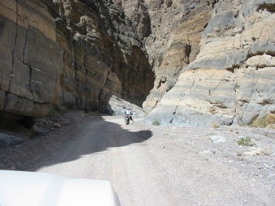
Titus Canyon.
More photos from 31 March 2007
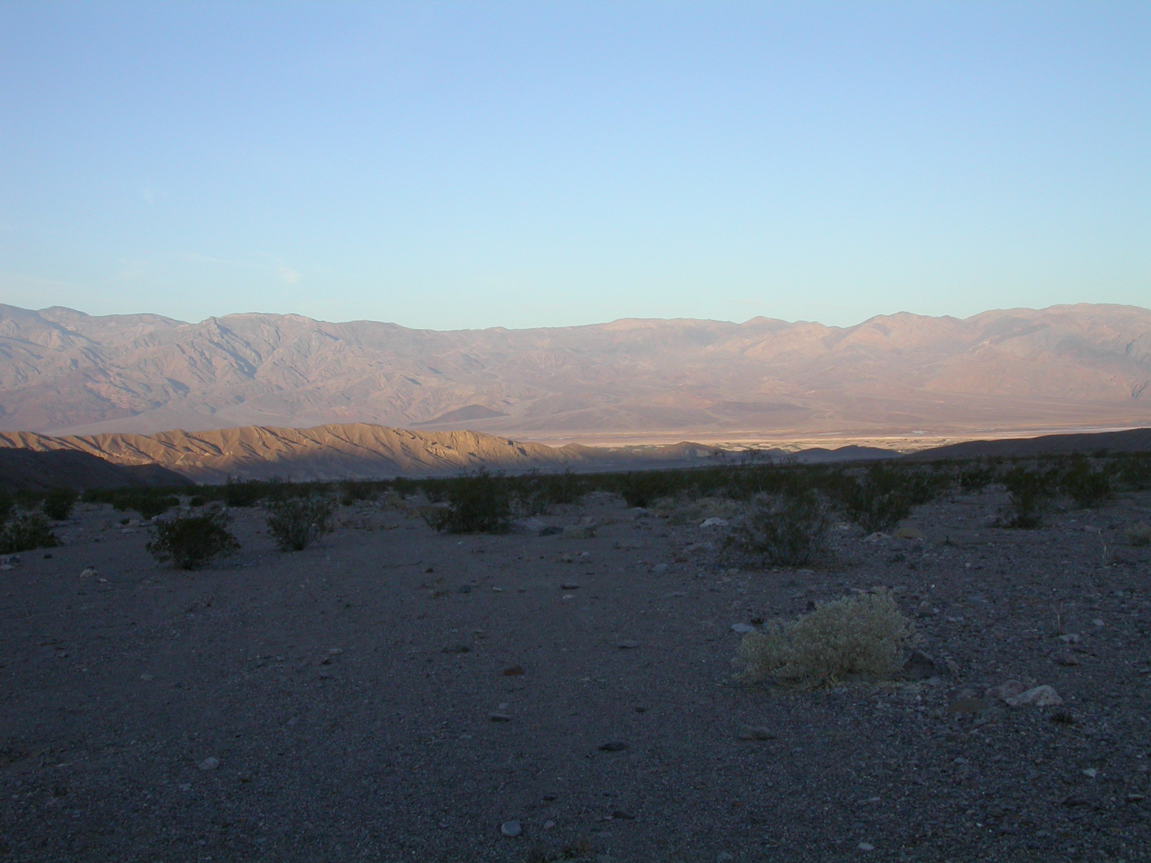
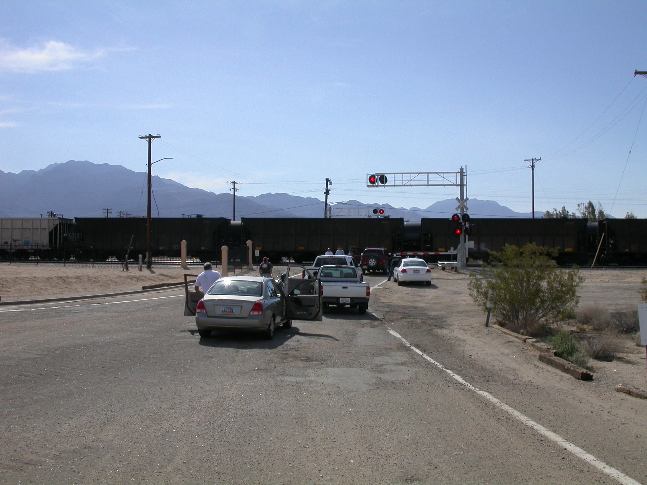
We drove back to Tucson on Sunday. We went south through Baker and
across the Mojave National Preserve. A train blocking the crossing
in Kelso. sent us on a wheelin detour through the Providence Mountains.
Got back to Tucson around 6PM.
Photos by John H.
Camp in Echo Canyon.
Looking down from Echo Canyon.
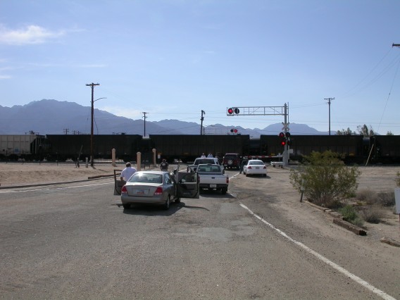
Blocked by the train in Kelso.
Photos by Ron P.
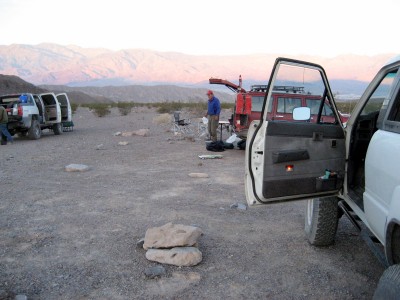
Camp in Echo Canyon.
Photos by Jon R.

John H. in Echo Canyon.
More photos from 01 April 2007
John Hill <jhill@as.arizona.edu>
Last modified: Mon Aug 27 18:08:03 2007