On Saturday June 15, 1996, Bob Peterson and John Waack led a Tucson Rough Riders trip to the Gila River. In addition to the usual suspects of Bob, John and myself there were 5 trucks from the Rough Riders. Thus we had a total of 13 adults, 3 kids and 2 dogs driving in 2 Chevys, 1 Ford van, 1 Toyota, 1 Suzuki and 3 Jeeps.
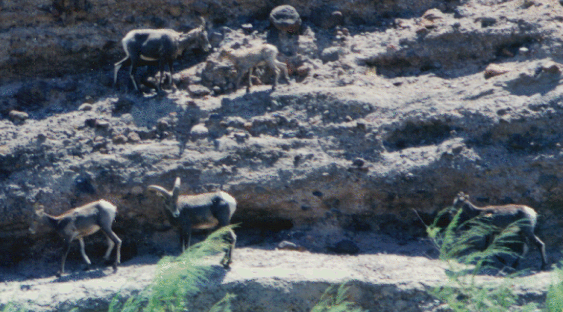
After meeting at Houghton and I-10 we drove to Safford and topped up our fuel. We made it to the Gila River at Bonita Creek just before noon. We had lunch under some Cottonwood trees a few miles up river. What made lunch memorable was watching 22 bighorn sheep grazing on the hillside on the other side of the river. We were able to get photos from less than 50 yards, but they were 150 to 200 yards away during lunch.
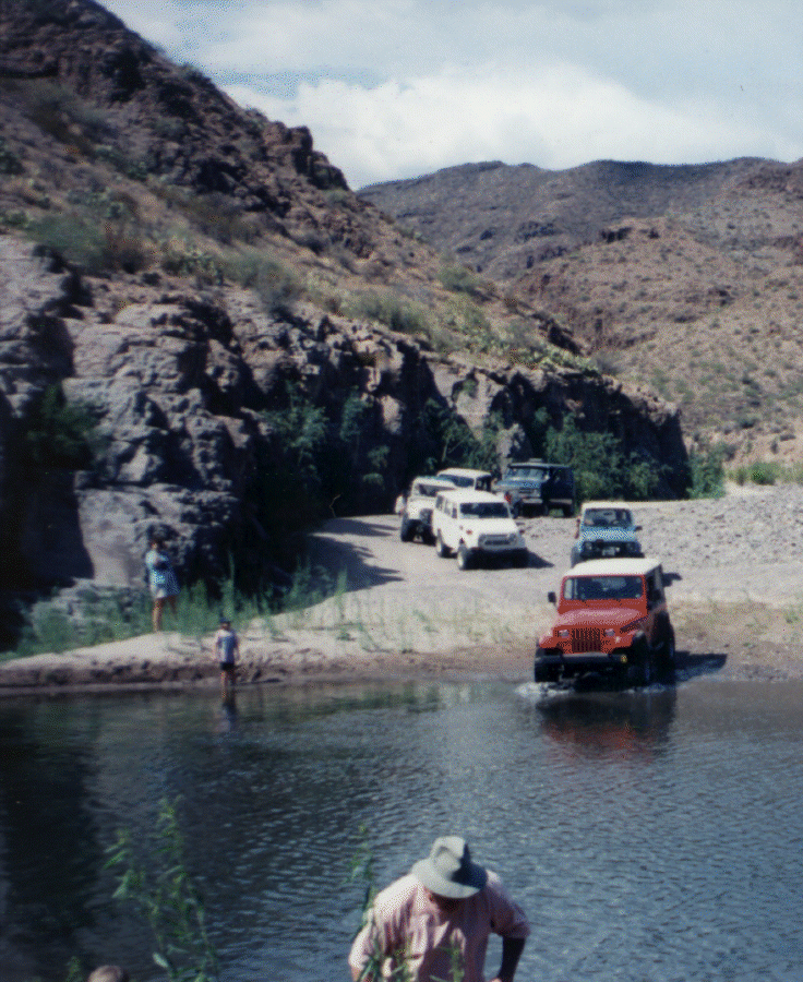
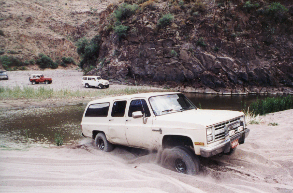
The river level was very low and most of the vehicles were enhanced over stock, so no winching was required. The tow strap did have to come out a few times to help those who lost momentum in some soft sand. On Saturday we crossed the Gila River 35 times and the San Francisco River once over a stretch of about 10 miles through the Gila Box. We arrived at our sandy camping spot along the San Francisco (at the confluence with the Gila) about 5:30. While some brief thundershowers had slightly cooled the afternoon heat, a swimming hole in the river was just what we needed after a day of summertime wheelin'.
It was a lovely evening at the camping spot. Campfires were primarily decorative as the weather was plenty warm with an overnight low about 66. On Sunday morning we cruised up the San Francisco River to Clifton/Morenci --- we had resisted the urge to drive to town for takeout burritos the night before. We crossed the San Francisco 13 times (without counting about 8 purely recreation crossings that I tried) on the way into Morenci. We spent a little while exploring some Gila overlooks and side trails off the old Safford road on the way back from Clifton. Bob and I explored the Gila for about a mile above the bridge on the Old Safford Road. We arrived back in Tucson in the late afternoon. No vehicle damage worth mentioning occurred.
Trail Rating and Topographic Maps for the Gila Box
Last modified: Thu Jun 25 16:21:28 2009